Flying from Vancouver to Whitehorse
July 28th was simply a travel day for Cathy and I, flying home from Vancouver. There was more, of course, but nothing worth talking about 🙂
Our flight got delayed, but we got quite a comedy show at our boarding gate at YVR. There were a bunch of guys headed for the Victoria gold mine – one sitting beside Cathy was so drunk he wasn’t really functional. He got called up to the desk, and after about 4 steps he passed out, and toppled forward onto his face. Even the hard fall didn’t wake him up. The company medic and another employee made sure he was safe, but he was pretty much passed out until we boarded. He broke his nose open so there was blood on the carpet, etc. Another guy said he was scheduled to work tonight. I hope he got fired.
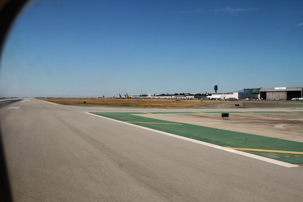
At 1:58, 23 minutes late, our Air North Boeing 737 turned onto the active runway, 26L.
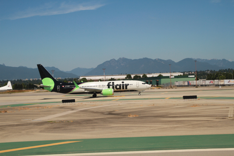
Flair Airlines, headquartered in Edmonton, Alberta, has 9 aircraft including C-FLKC, a Boeing 737-8 Max that was just delivered from the factory a few weeks ago.
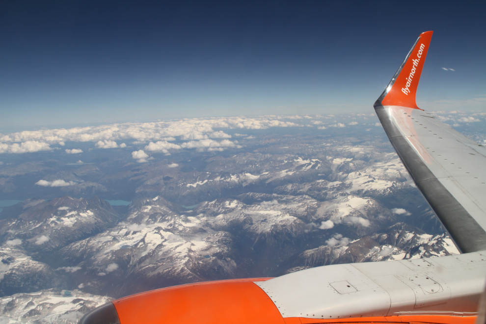
Away we go again. For new readers, I love flying, and a window seat is a must. Just before these 2 Vancouver trips came on the horizon, I was going to book a return trip to Vancouver without even leaving the airport, just to fly again.
Iona Jetty is in the foreground, then a log boom storage area in front of Vancouver’s large and famous nude beach, Wreck Beach, then the University of BC (UBC) above them.
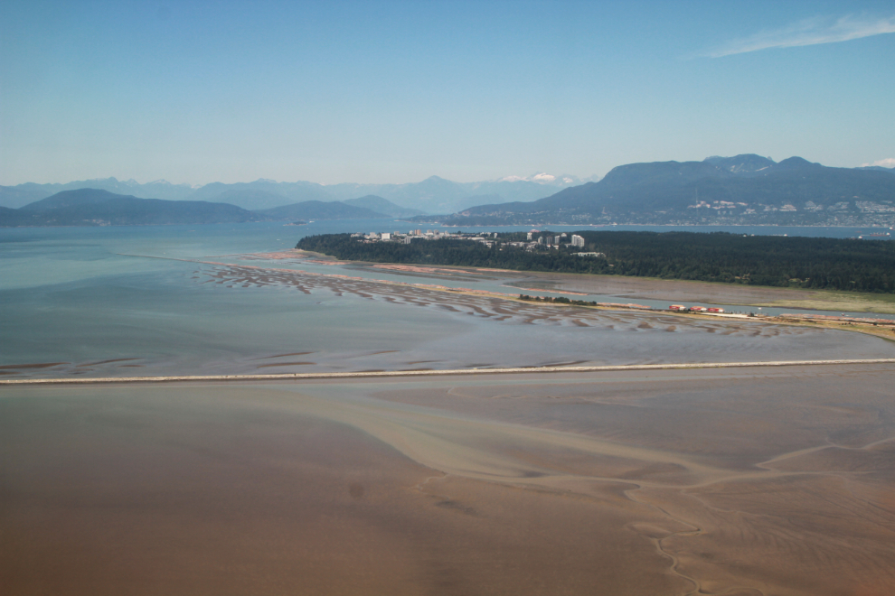
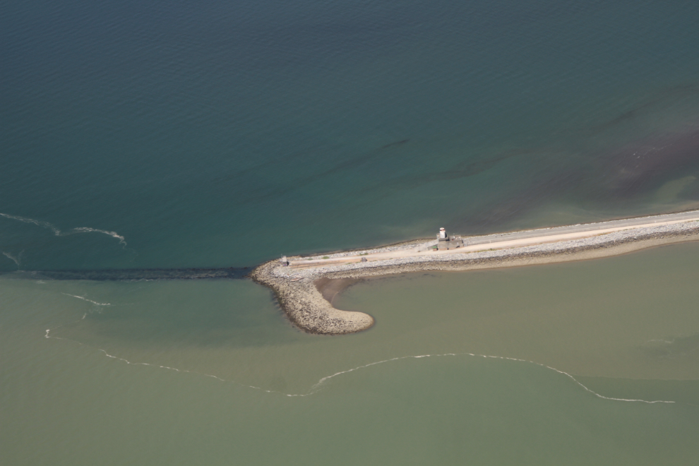
The end of Iona Jetty, which is a popular place to walk.
A closer look at Wreck Beach, UBC, and freighters anchored in English Bay waiting for a docking position.
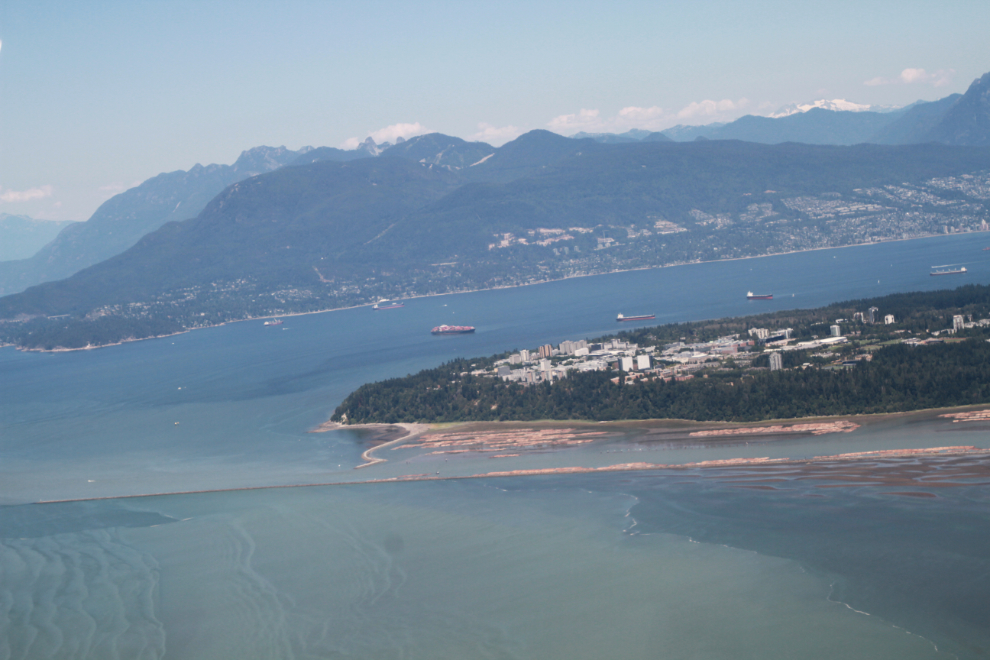
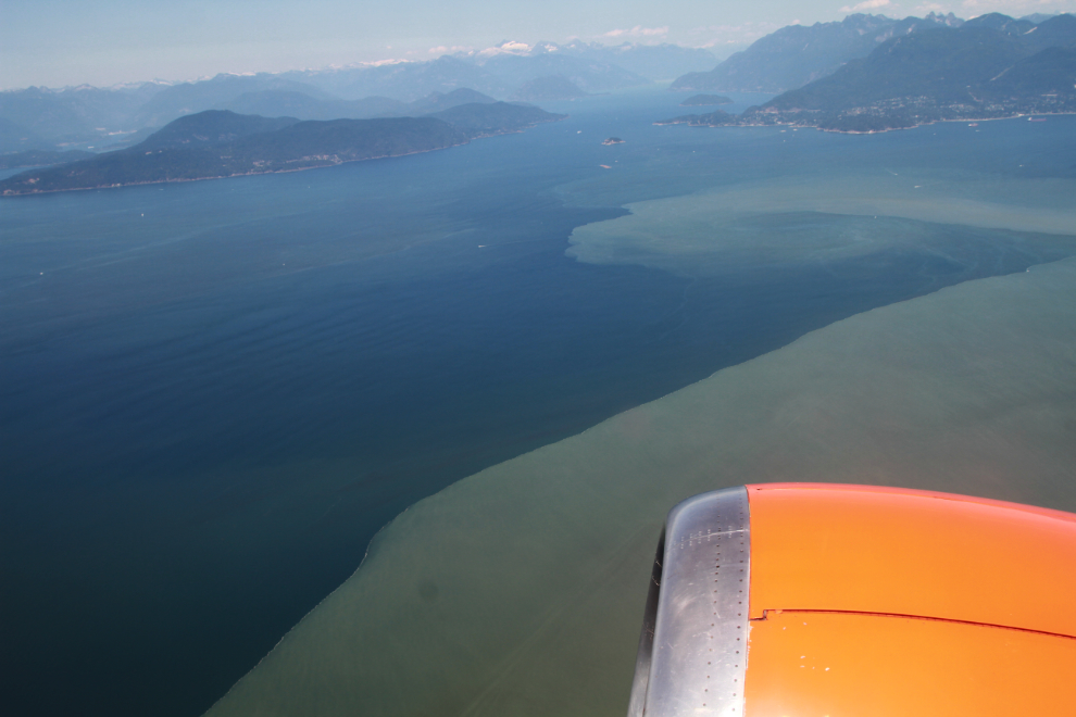
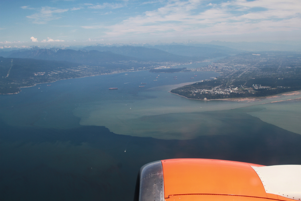
It takes a long time for the muddy waters of the Fraser River to mix with the clear salt water of the Salish Sea.
Downtown Vancouver is at the far side of English Bay, with Stanley Park to its left.
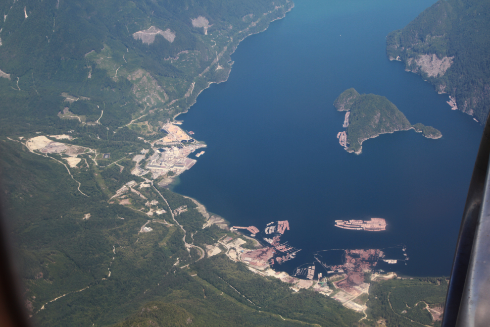
Three minutes further north, at 2:05, I got a good look at the Howe Sound Pulp and Paper Mill at Port Mellon. Woolridge Island is also seen in the photo.
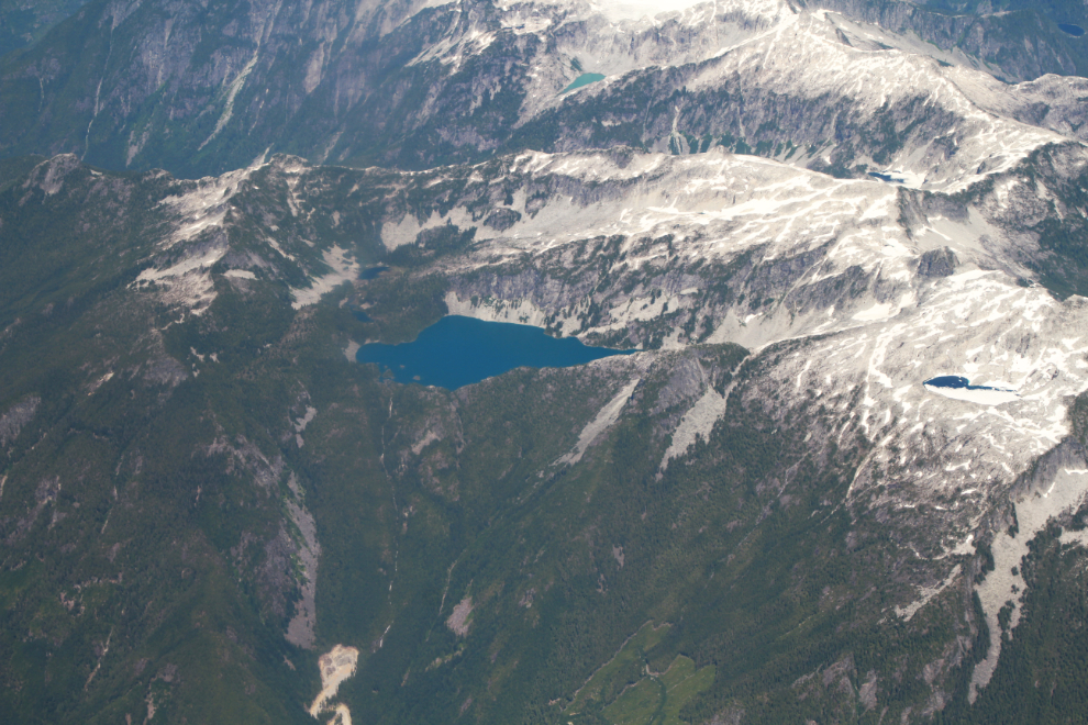
This alpine lake 2 minutes north of Port Mellon is at the head of Ramona Creek, near the head of Narrows Inlet.
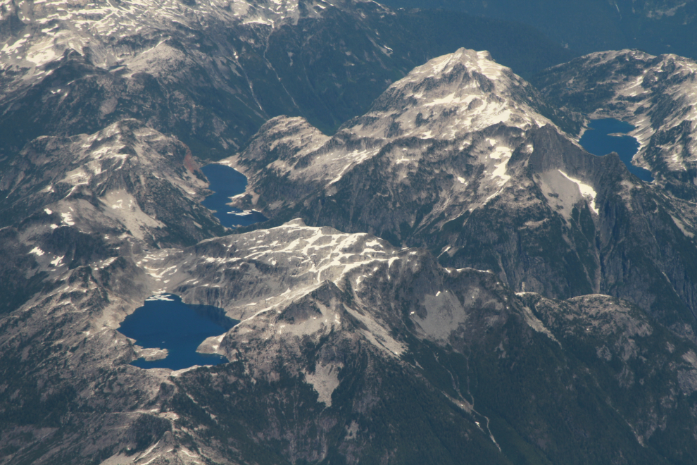
Sometimes locations that I think will be fairly easy to identify on Google Earth, aren’t. Like this one, seen at 2:08.
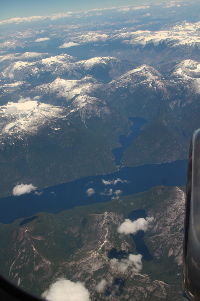
The large inlet seen at 2:11 is Jervis Inlet, the small one is Princess Louisa Inlet. Four years ago I took a boat tour to Chatterbox Falls at the head of Princess Louisa Inlet. It was an incredible day!
I don’t know where this is, but it was shot at 2:12.
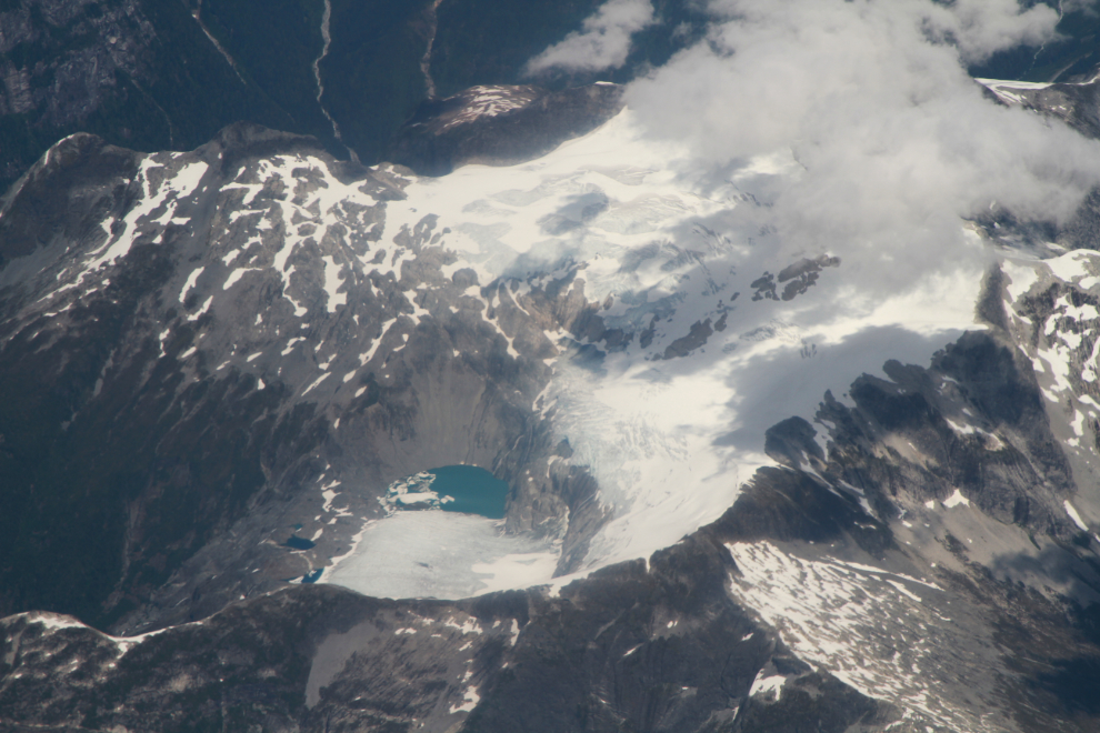
The Tavistock Glacier, seen at 2:16, is east of the head of Bute Inlet.
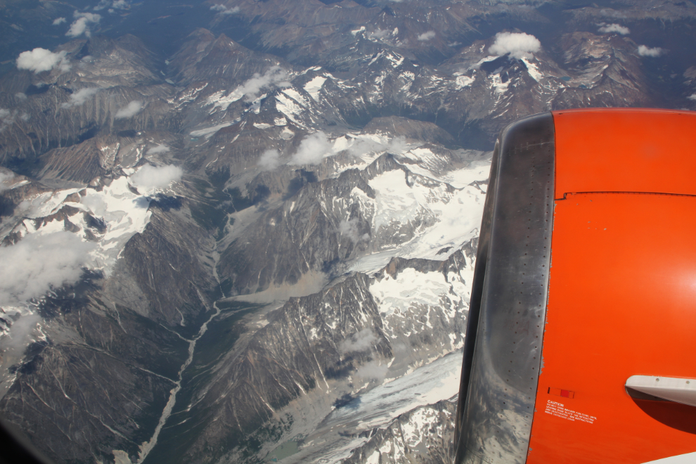
Just a broad view at 2:18.
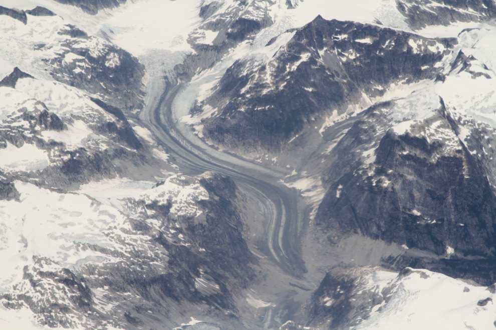
This valley with several glaciers was seen at 2:22. Clouds then moved in and I saw nothing more until we were well into our descent into Whitehorse.
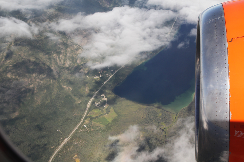
At 3:49 I was looking down on Crag Lake and the Tagish Road.
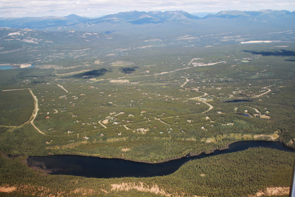
Home! Well, a couple of thousand feet above home. That’s Mary Lake in the foreground and the Mary Lake subdivision where we live above it.
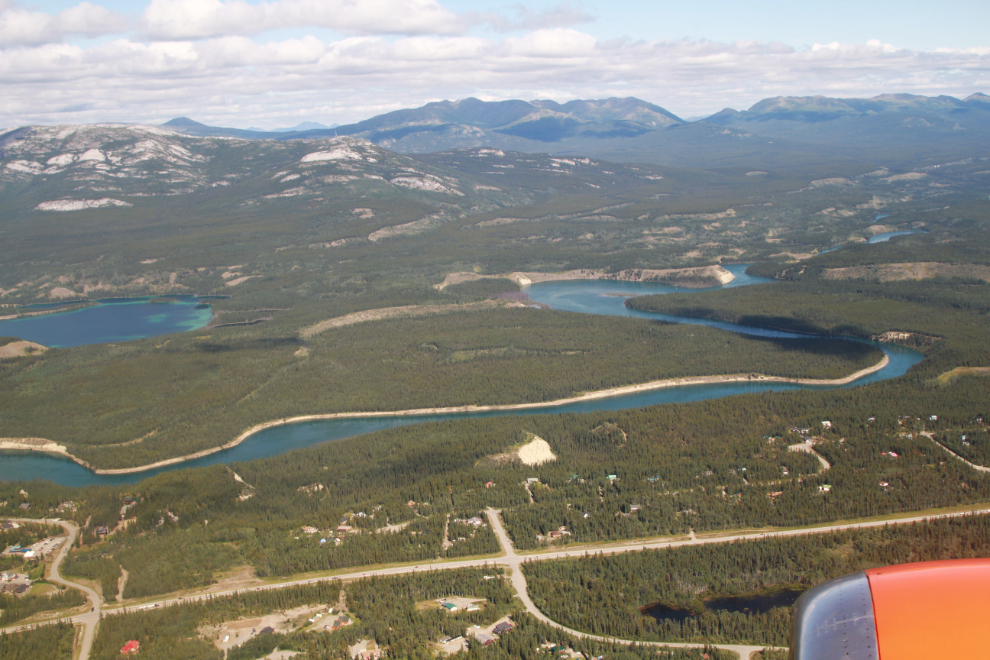
That’s the Pine Ridge subdivision in the foreground, with the Yukon River above it.
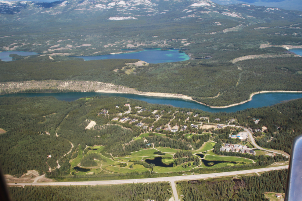
The Meadow Lakes golf course and Fox Haven subdivision. Chadburn Lake is above the Yukon River.
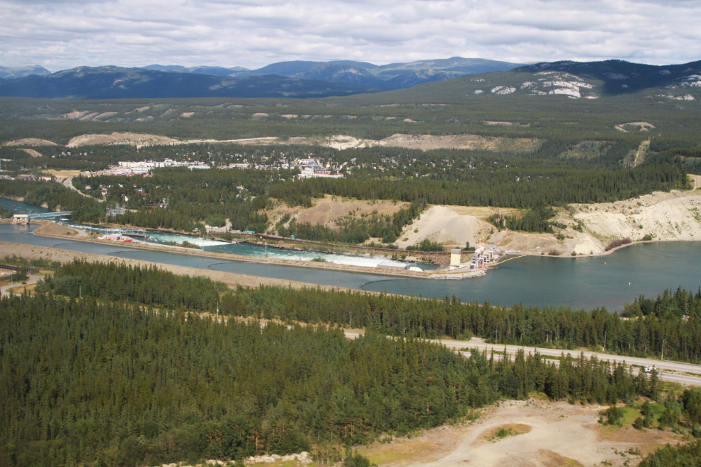
A few seconds from touchdown, the Whitehorse power dam.
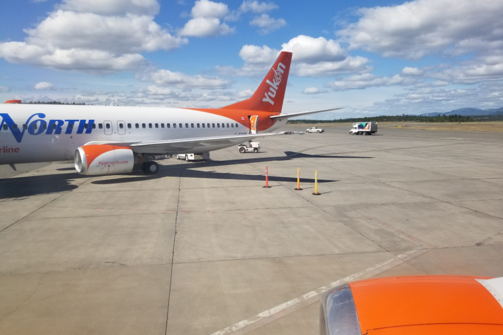
We pulled up to the terminal right at 4:00, but had to wait a few minutes for a jetway to be moved over for us to disembark.
To see your house from the air and other places you have travelled, or wish to travel to (Like the hanging valleys in several of your on the way home photos) is a real pleasure… The delights of that rugged country and setting is so interesting to me. Growing up in the high Sierra Mtns of CA near Yosemite NP set me on that course for life.