Alaska Highway ride – Beaver Creek to Chicken, Alaska
Day 2 dawned wet. With the weather forecast suggesting that the rain would end in the morning I decided to take advantage of being in no hurry and wait it out, so I fueled up, went for a leisurely breakfast down the road at Buckshot Betty’s and wandered around Beaver Creek taking pictures.
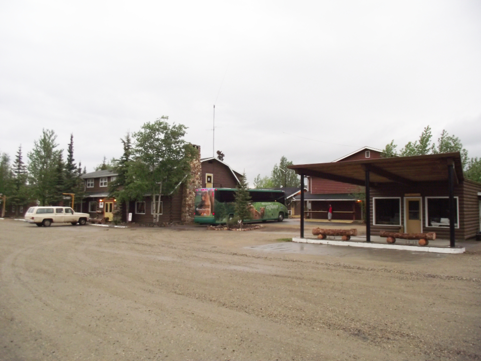
The people on the motorcoach seen at the Westmark in the first photo probably would have liked to be in no hurry as well – at 6:24am the luggage was already loaded on it and it was getting ready to go. Vacations with 05:00 am wakeup calls – hmmm…
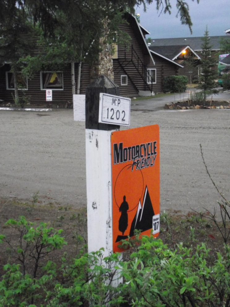
About 20 years ago the original Alaska Highway mileposts were auctioned off, and the Westmark Beaver Creek, being at Historic Mile 1202, was the high bidder on the Mile 1202 post. The “Motorcycle Friendly” sign is from the 2007 Ride Yukon rally, an event that ran annually from 2004-2009 and then died due to not enough registrations being received.
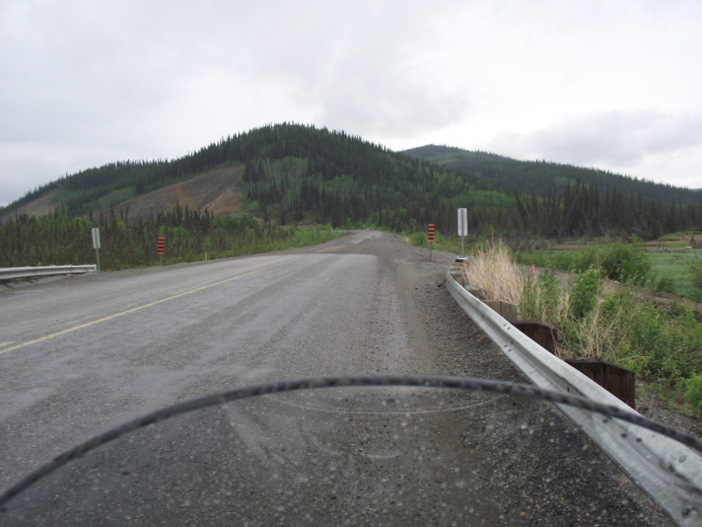
I left Beaver Creek at about 10:00, and stopped about 20 minutes later to take a few photos at Mirror Creek, Km 1883.
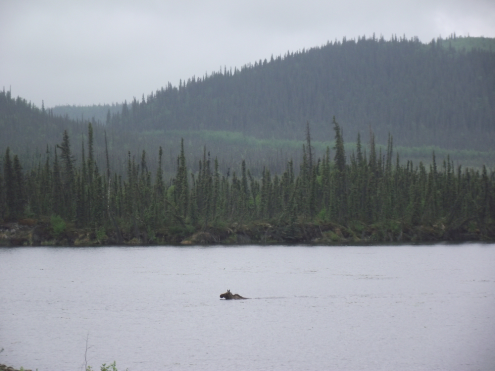
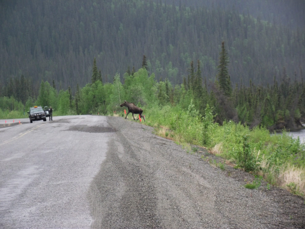
Five minutes later I spotted a moose swimming across a small lake towards the highway. She hesitated when she saw me but when I pulled off and shut off the engine she continued swimming, then crossed the highway between me and a Yukon parks department truck that had stopped as well.
Crossing the border into Alaska was a quick and friendly event, and the 14 miles of new pavement beyond was a very pleasant surprise.
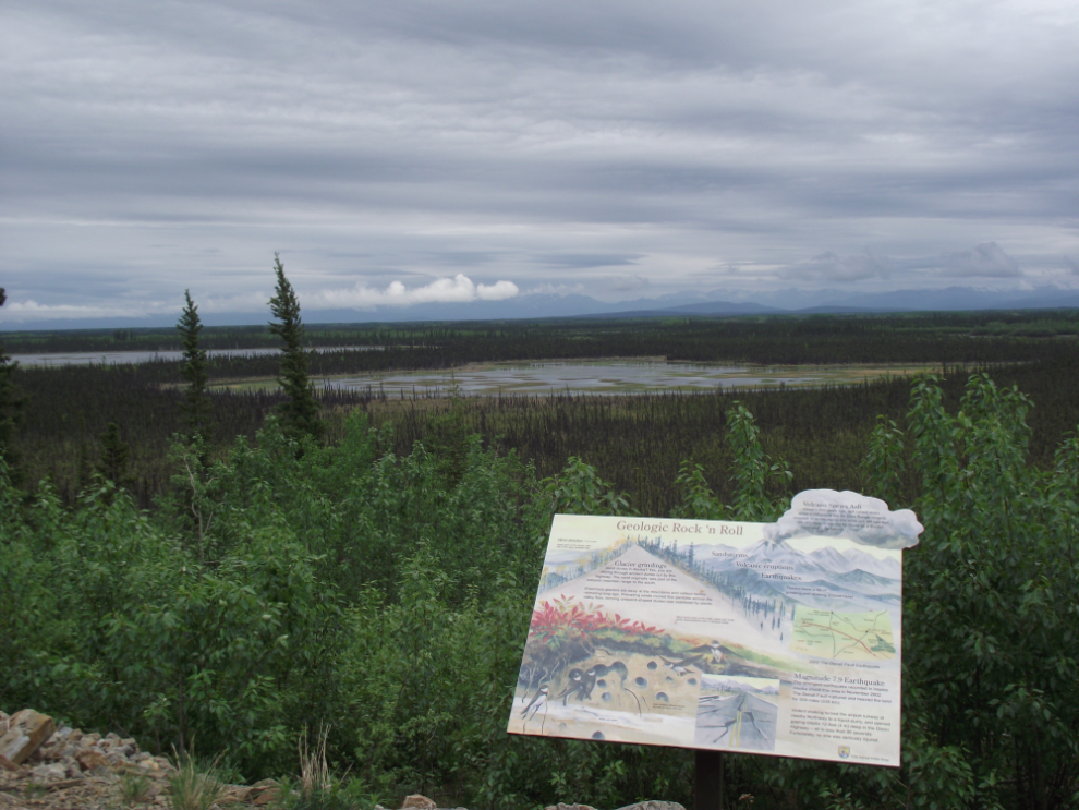
The interpretive sign below at Mile 1272.7 is typical of the excellent signage on the Alaska side. This sign describes some basic glacier, volcano and earthquake facts about the area.
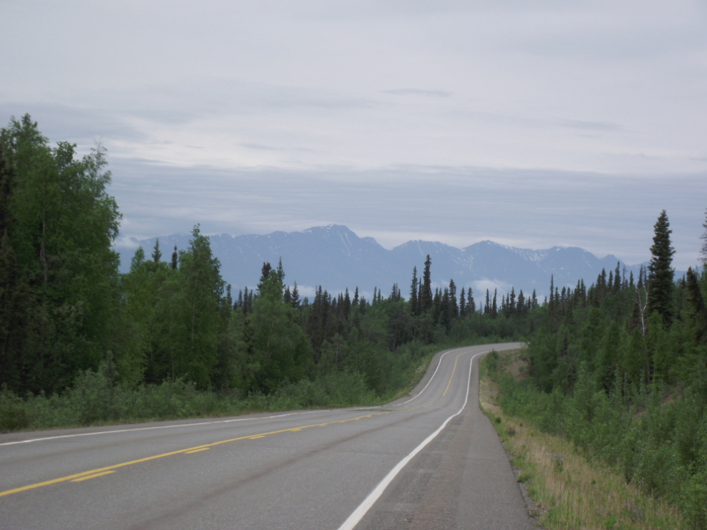
The view ahead at Mile 1299 of the Alaska Highway, at 11:38 Alaska time (12:38 Yukon time).
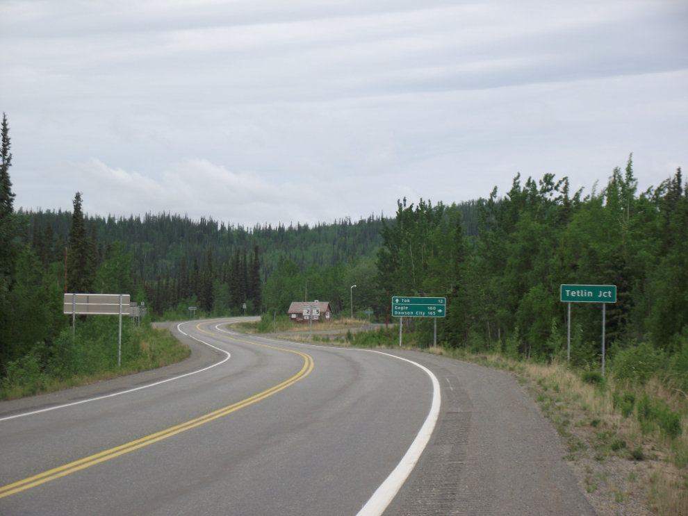
Tetlin Junction at Mile 1302 – this is where I turned north on the Taylor Highway. The community of Tok is 12 miles ahead on the Alaska Highway.
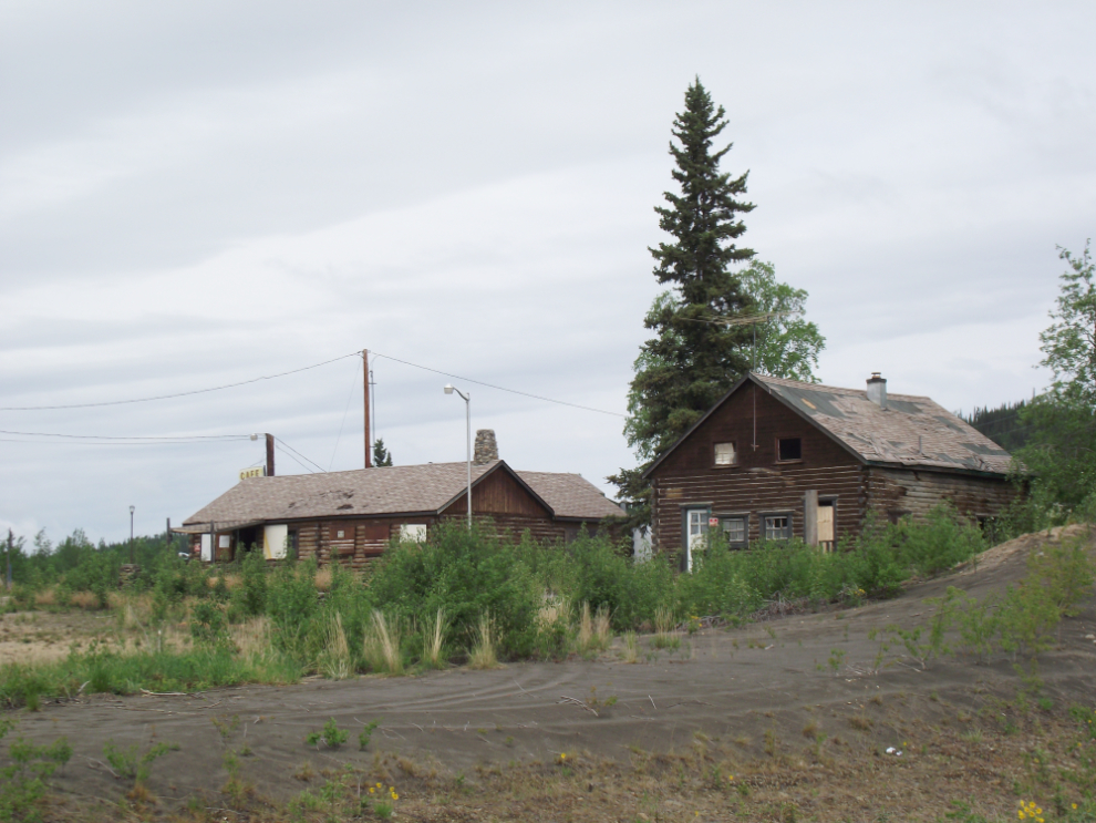
The Tetlin Junction Roadhouse is another one that was closed by the time I arrived in 1990. It did re-open very briefly in the early 1990s, though – the 1992 highway anniversary celebrations fired some enthusiasm that unfortunately didn’t really pan out economically.
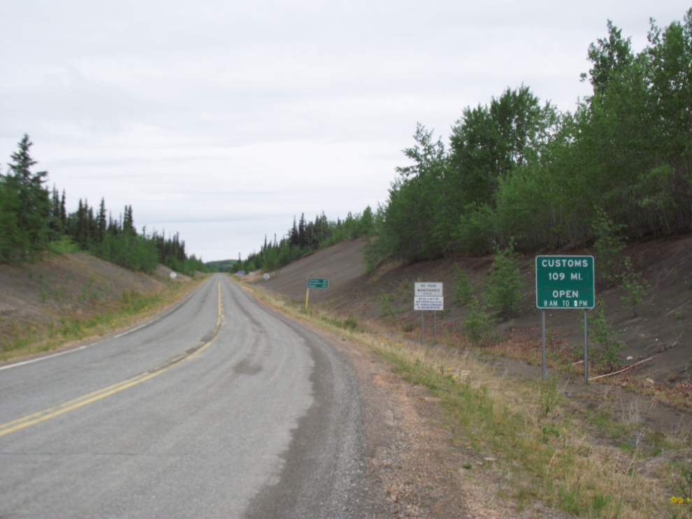
Starting up the Taylor Highway – 66 miles to Chicken, 109 miles to the Canadian border. Staffing reductions at the border this year have resulted in the border closing at 6 pm, which is apparently surprising many people, some of whom camp overnight at the border.
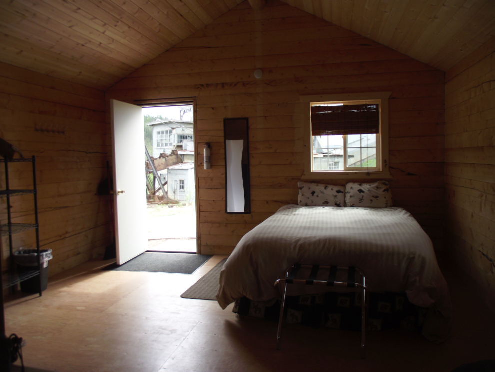
I made very few stops along the Taylor, mostly because I wanted to have a late lunch in Chicken. I was at the Chicken Gold Camp by about 1:30, had an excellent lunch while chatting with owner Mike Busby, then went to my cabin. The cabins are very basic, but what a view for a guy with a passion for history!
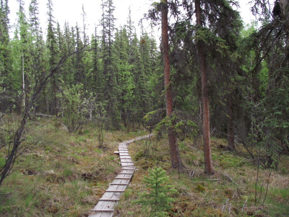
My plan for the afternoon had been to hike the Mosquito Fork Dredge Overlook Trail which starts a mile north of Chicken, and find my way down the cliffs to the dredge (which is the Cowden Dredge, sometimes called “The Lost Chicken Dredge”). I was at the trailhead by 2:35. It’s a very pleasant trail – you walk mostly on a carpet of moss, with a couple of hundred feet of boardwalk across a wet area.
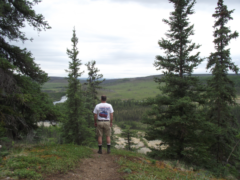
There are some fine views across the valley, and some benches have been installed at several scenic spots.
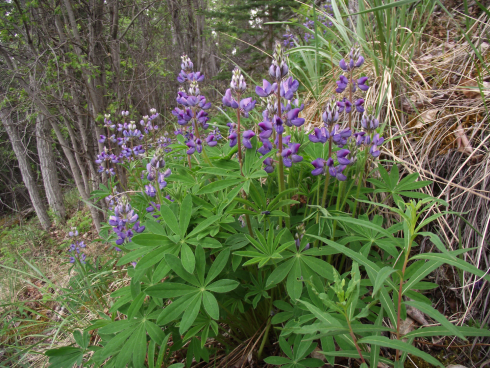
Lupine along the trail.
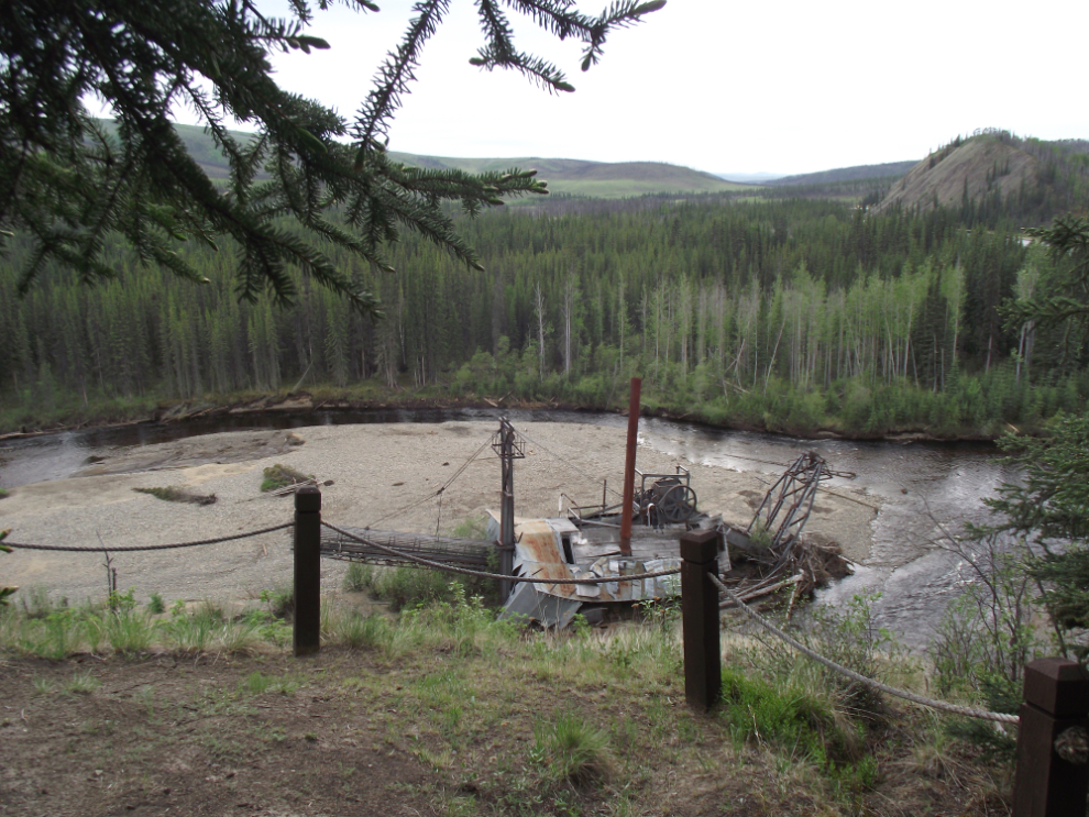
The end of the trail, overlooking the dredge.
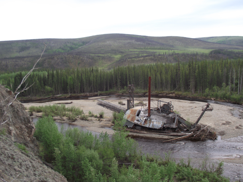
There is no trail down to the river, or even a discernible route that’s been used before, and the slope is very steep. It is simply a hike that you could get killed on with a simple wrong step.
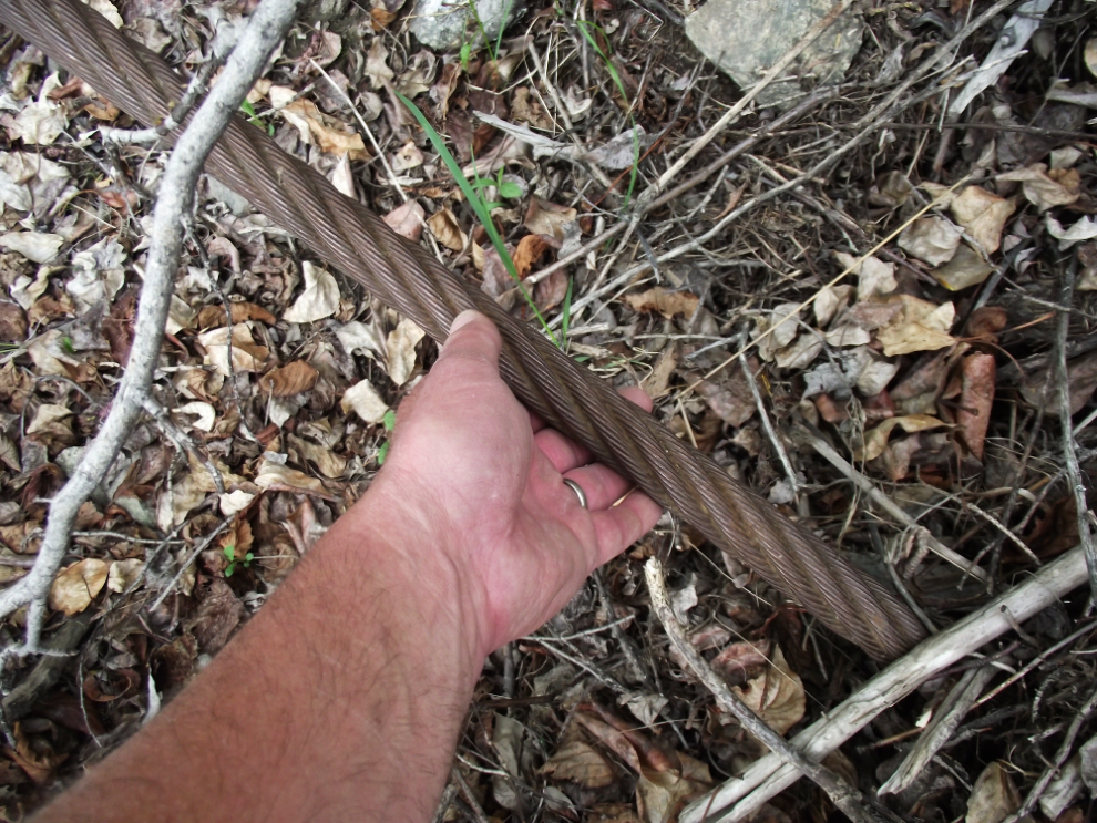
By going upstream a few hundred yards I did find a difficult route down. Down at river level, here’s one of the cables that held the dredge in place when she was working.
I tried to get over to the dredge but there was one channel that was too deep to take a chance on without a rope and a companion. After the glacier or snow-fed rivers I’m used to, the rather warm water was nice, though
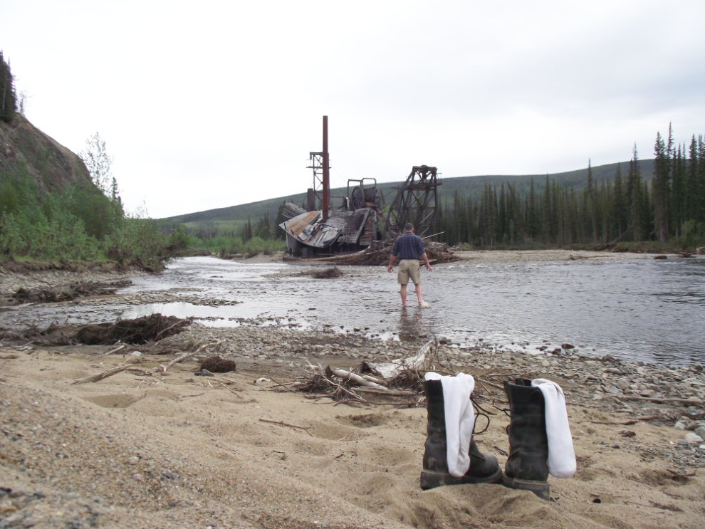
Here’s what it looked like from as close as I did get, though.
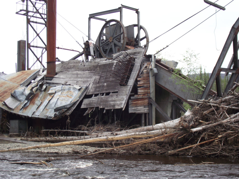
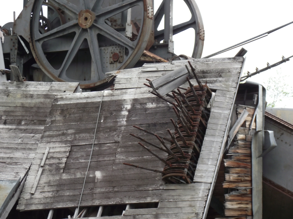
This was once the floor of the control room where the dredgemaster plied his art, turning tons of river gravel into ounces of gold.
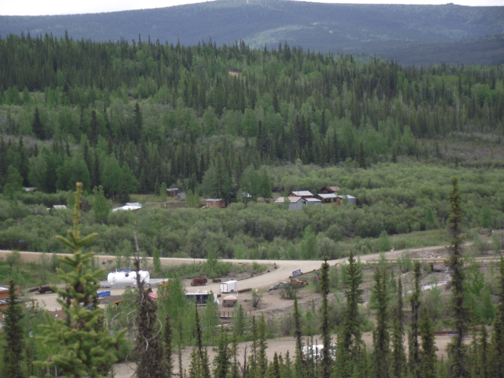
I got back to the bike at about 4:00 pm, and stopped for a few photos of Chicken on the way down the hill. The upper buildings are “Historic Chicken” – private property, though tours are sometimes available from the folks at the Goldpanner Gift Shop.
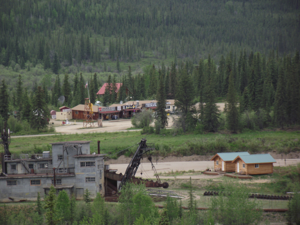
Looking to the left from the view above is the Pedro Dredge, my cabin, and across the road the Chicken Creek Cafe complex.
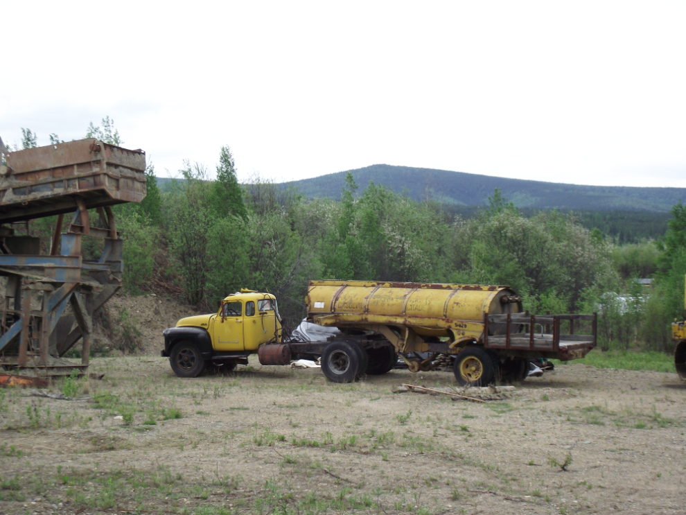
There is old equipment everywhere, much of it modified by inventive miners for specific purposes. This unique tanker is part of the roadside promotional display for the “Town of Chicken” and Goldpanner.
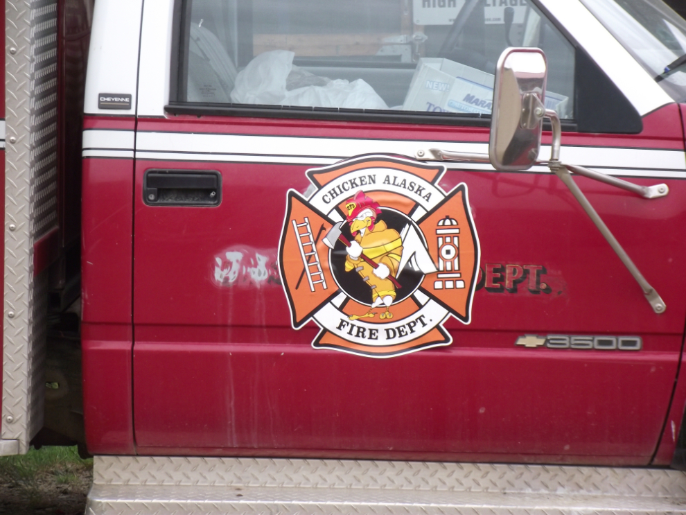
The door of Chicken’s little fire truck.
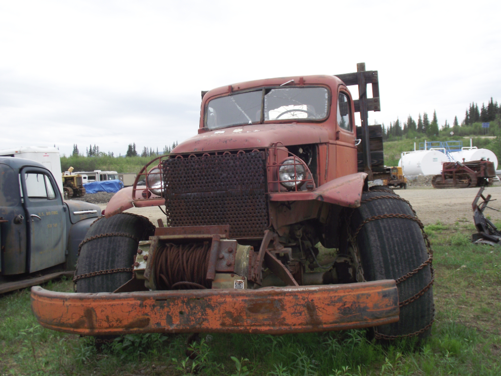
Now there’s a rugged-looking old bush buggy!
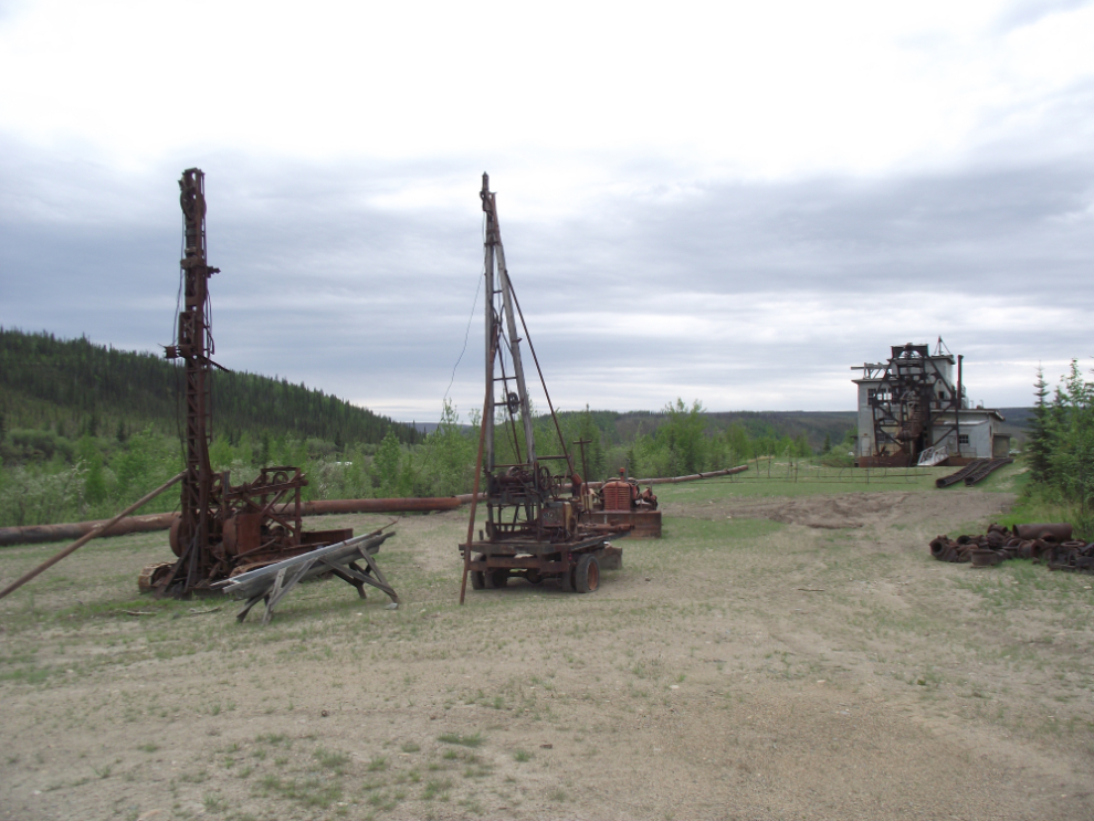
Back at the Gold Camp, Mike has done a wonderful job of setting up an interpretation at the dredge. This photo shows a condensed view of what the action would have looked like 60+ years ago, with test drills, steam points for thawing the drozen ground, and the dredge itself.
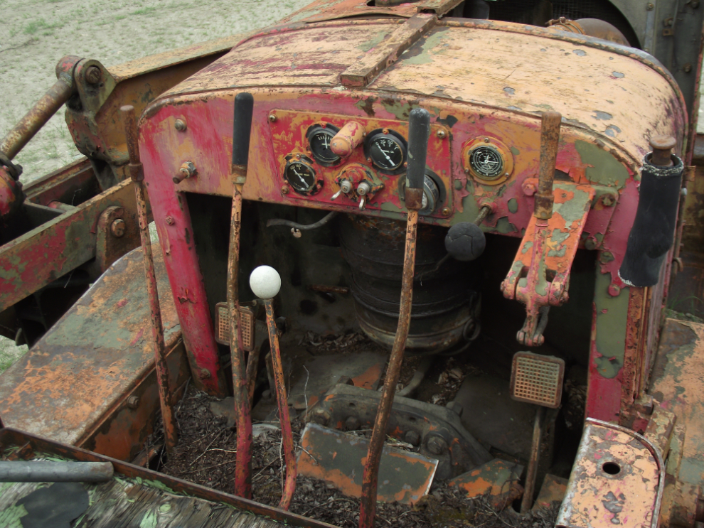
At the controls of a 1940s-era Allis-Chalmers HD7 tractor.
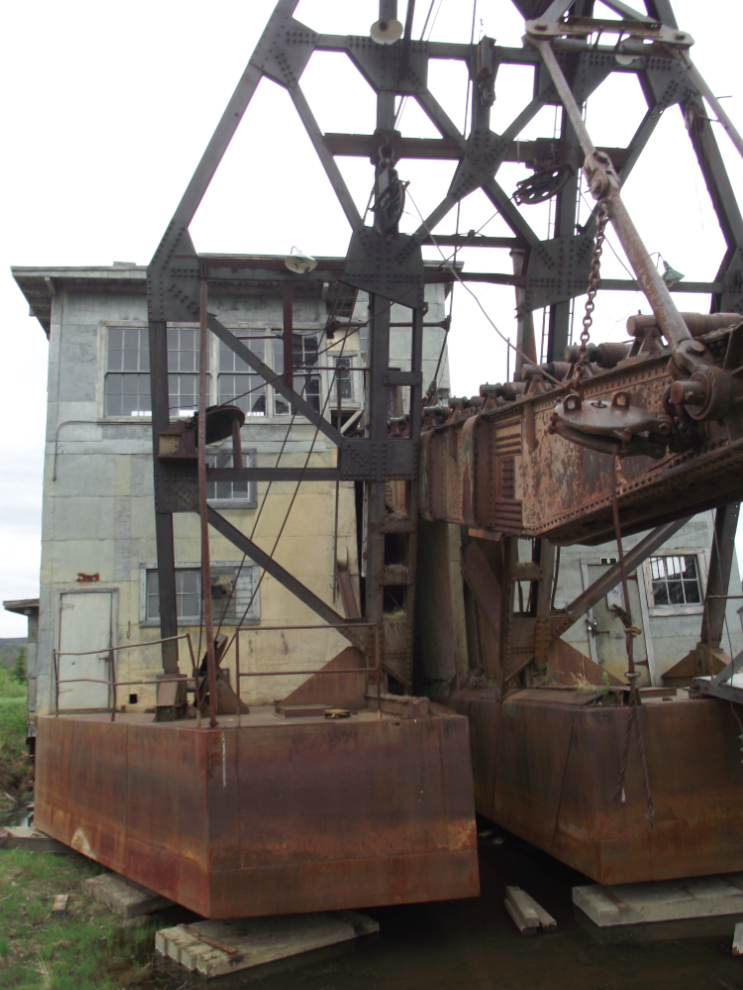
The digging end of the Pedro Dredge.
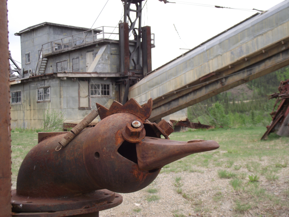
One of Mike’s chicken-monster creations
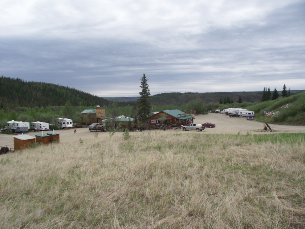
A high view of the lower part of the RV park.
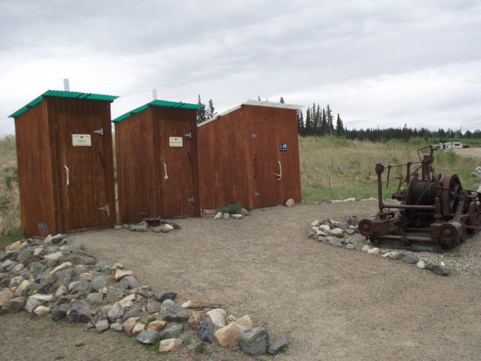
The spotlessly-clean outhouses. The door handles are sections of caribou antler – imagine what they would sell for in “civilization”.
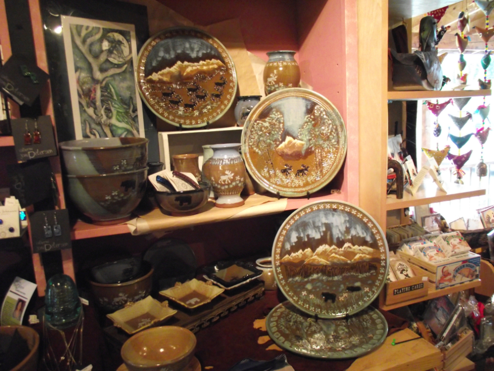
A look at some of the art pieces in the gift shop. I was going to buy the plate in the lower right but was afraid that it would get broken on the way home. Maybe when I’m back to Chicken in July…
I had a couple of Fairbanks beers while I checked my email using the wi-fi, then laid down for a nap which turned into an all-nighter… 
