Alaska Highway ride – Whitehorse to Beaver Creek
I’ve been putting off any long trips on the motorcycle due to erratic forecasts and lots of rain activity, but decided on Tuesday that it was time to just get on and go. I decided that a 3-day trip up the Alaska and Taylor Highways to Chicken, Alaska and back would be perfect.
I’ve been packing in my mind for weeks now so getting the bike loaded on Wednesday morning was a fairly quick and simple process but a lot of other last-minute stuff to deal with delayed my departure until 09:20, about 3 hours later than I would have preferred.
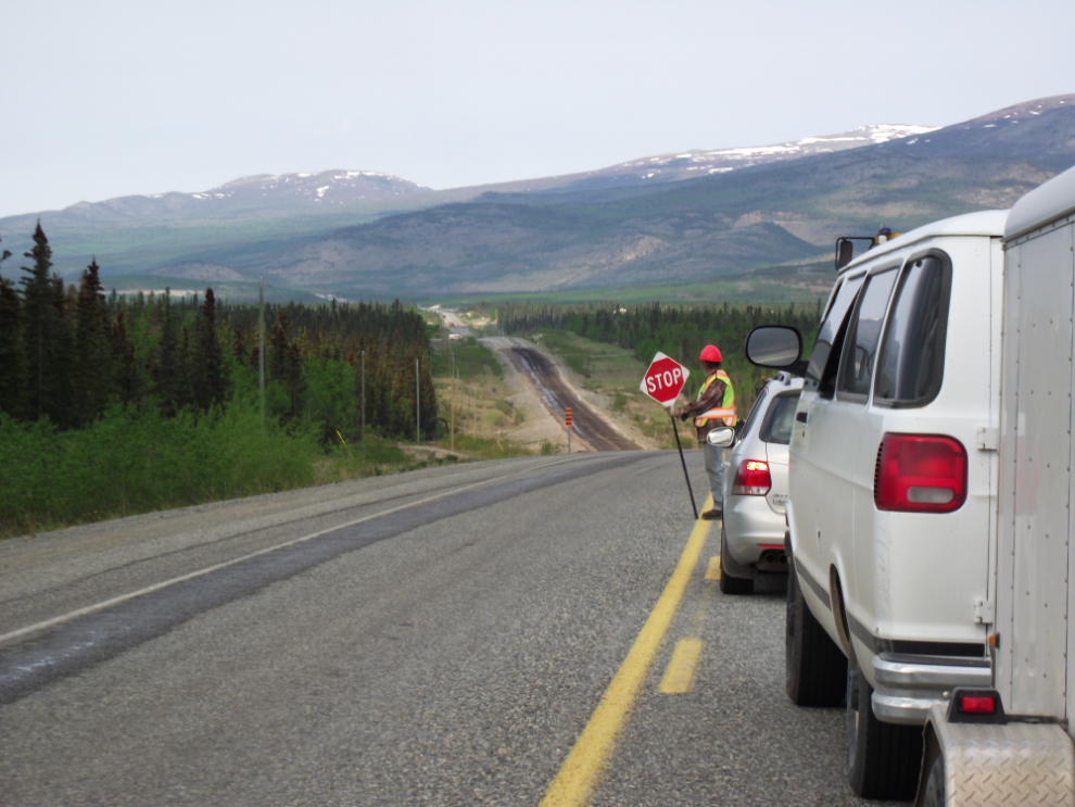
There have been a lot of complaints online about how bad the Alaska Highway is, and how much construction there is – running into this just a few miles outside Whitehorse wasn’t encouraging (big bikes do not like gravel!).
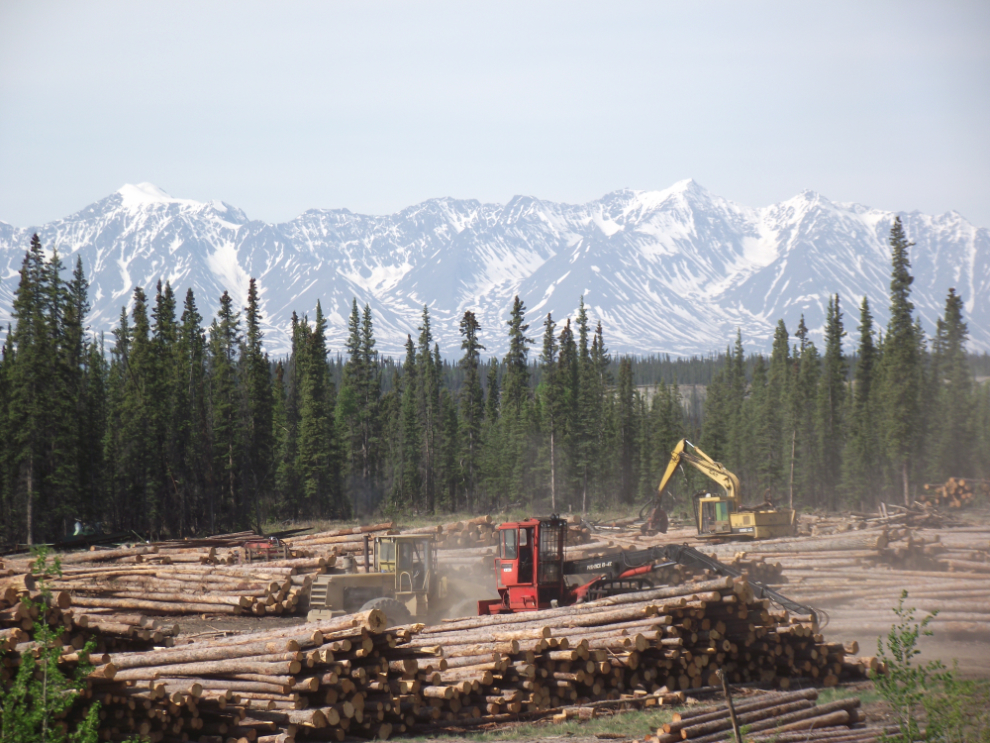
Here’s a better (more active) photo of the mill at Canyon Creek that I took some photos of last week when Cathy and I were out that way.
And a better photo of the Kluane Range from Km 1566, showing the distant peaks – pointy Mt. Kennedy on the left (3,965 m/13,007 ft high) and massive Mt. Hubbard on the right (4,572 m/15,000 ft high).

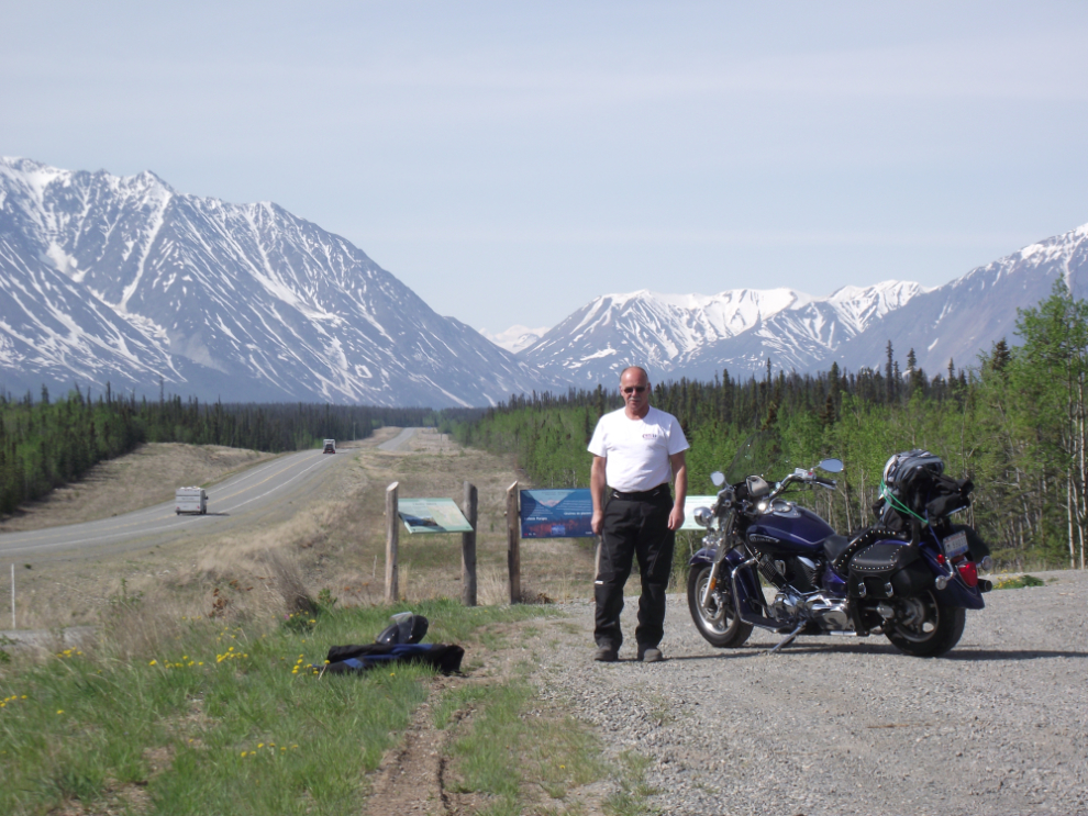
What a day for a ride! This is me at the Kluane Range viewpoint at Km 1566, 12km east of Haines Junction.
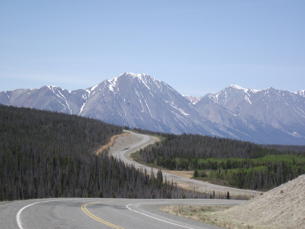
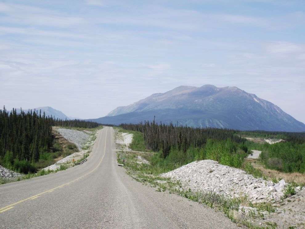
One of my favourite scenic spots on the Alaska Highway. This is the view west (north if you prefer the more common but less accurate description) at Km 1628 – Christmas Creek is at the bottom of the little valley ahead.
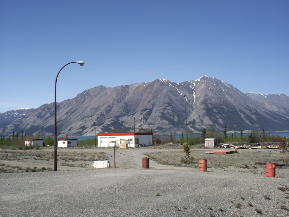
One of my goals for this trip was to add to my collection of photos of highway lodges. This one at Km 1644 on the shore of Kluane Lake only operated for a couple of years in the early 1990s as Kluane Lake Lodge. I really thought when it opened that it had great potential – what a location!
I went for a hike at Soldiers Summit to gather material for a full article about it some day soon (it’s now posted – see The Soldier’s Summit Trail). Four versions of the Alaska Highway can be seen in this photo, from the original tote road to the latest “Shakwak Project” version.
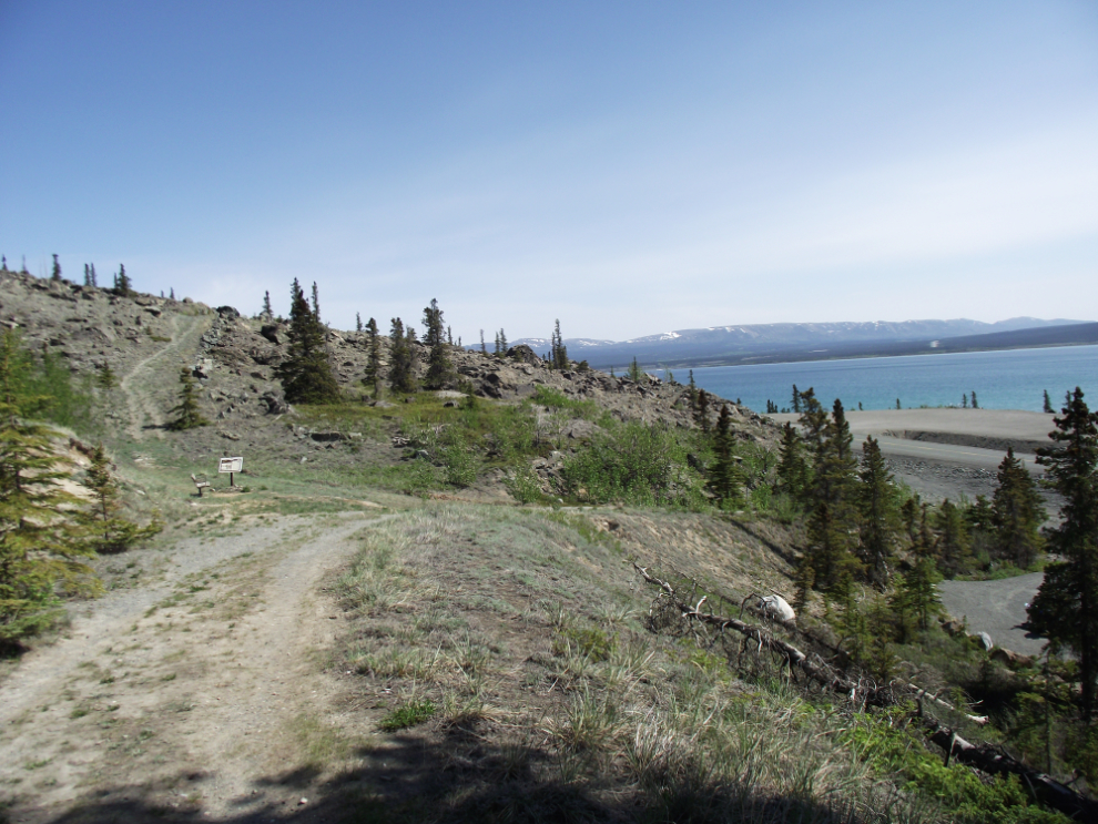
The Soldiers Summit Trail offers a great opportunity to stretch your legs, learn something about the highway construction, and get some superb views.
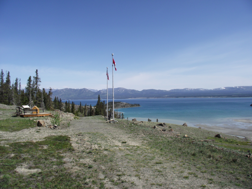
This is “the Summit” where the ceremony to open the highway was held on a bitterly cold day, November 20th, 1942.
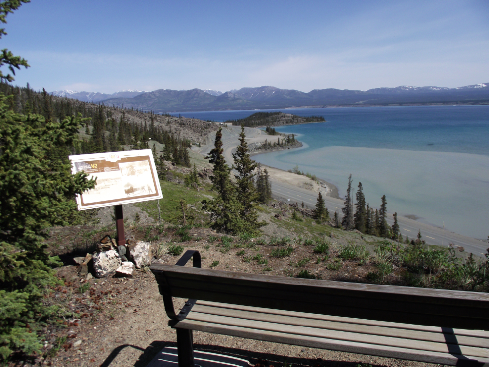
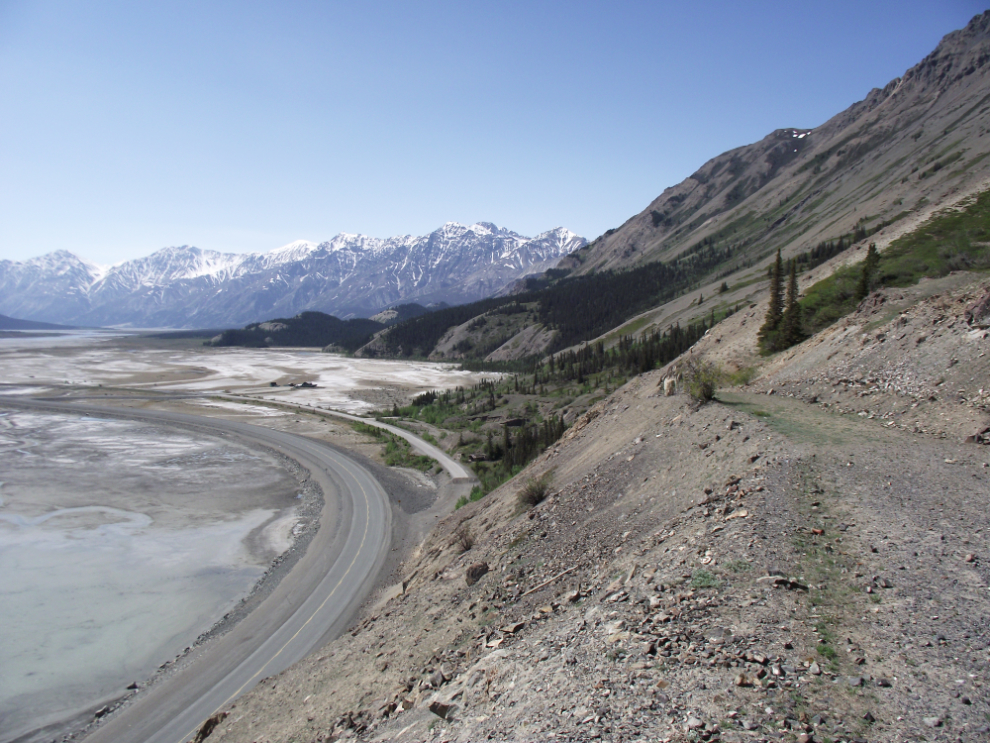
Few people continue on past the summit, but the views are even better just a few minutes past that point. This view is looking to the south up the Slims River. Three versions of the highway can be seen, as well as Parks Canada’s Sheep Mountain interpretive centre.
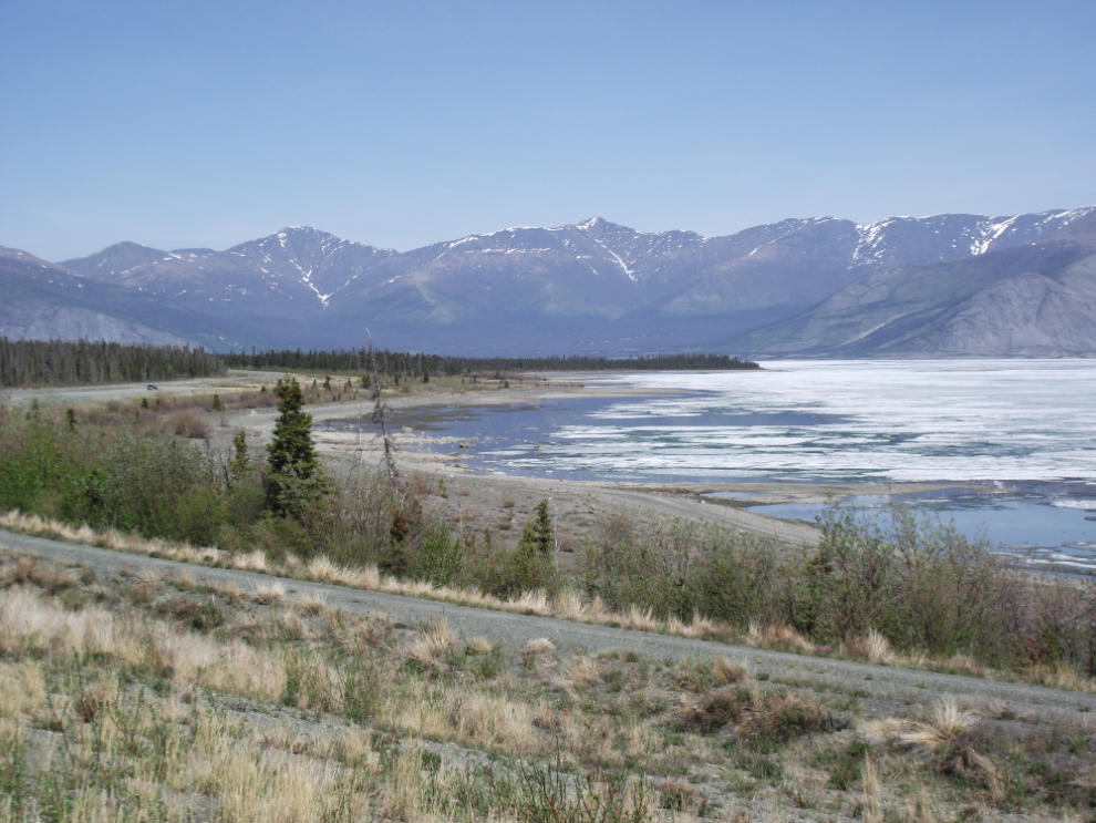
Back on the road. There was still a fair bit of ice on Kluane Lake, packed into the narrows a few miles from the head of the lake by the wind. Some of the wind-driven piles of ice were several feet high.
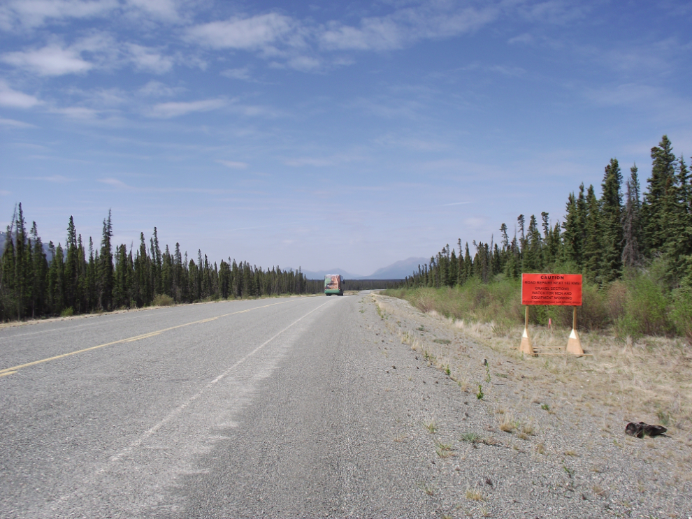
This sign just west of the Duke River at Km 1710 starts off with “Caution – Road Repairs Next 182kms”. It turns out to not be true in the literal sense, but does absolve the highways department of having to follow the “standard procedure” of flagging each and every bad spot. This is the section that’s drawing the most complaints. In my opinion all the people complaining are simply driving too fast – slow down and enjoy the country, folks!! Perhaps we should have left the highway the way it was – it’s a whole lot wider now but the surface is not much better, so even though it looks from a distance like an interstate, it doesn’t drive that way!
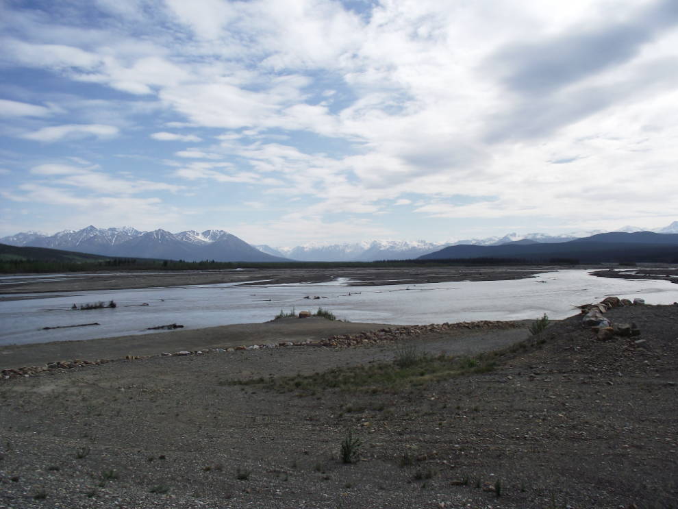
The view down the river from the Kluane River rest area at Km 1726.
What I feel is a significant historic site has disappeared from the highway, and even from publications such as The Milepost. At the bottom of the dip in this photo is Quill Creek (Km 1729) – just past that is the old Alaska Highway to the right. Come along and I’ll show you what’s been lost.
This is probably the best section of old highway that is still accessible. Here it drops down to run along the Kluane River, which was constantly eroding the old road and was the main reason it was relocated.
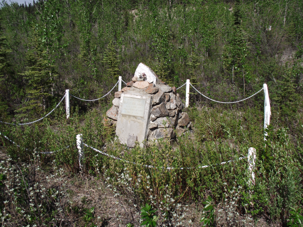
This is the historic site – the grave of U.S. Army Lt. Roland R. Small, who was killed near this point when his Jeep overturned on August 9, 1942. Canadian by birth, he was a member of “F” Company, 18th Engineers Regiment. [Edit: we have now posted a separate page with 14 photos of the route and the cenotaph – see The Lt. Small Memorial Access Road]
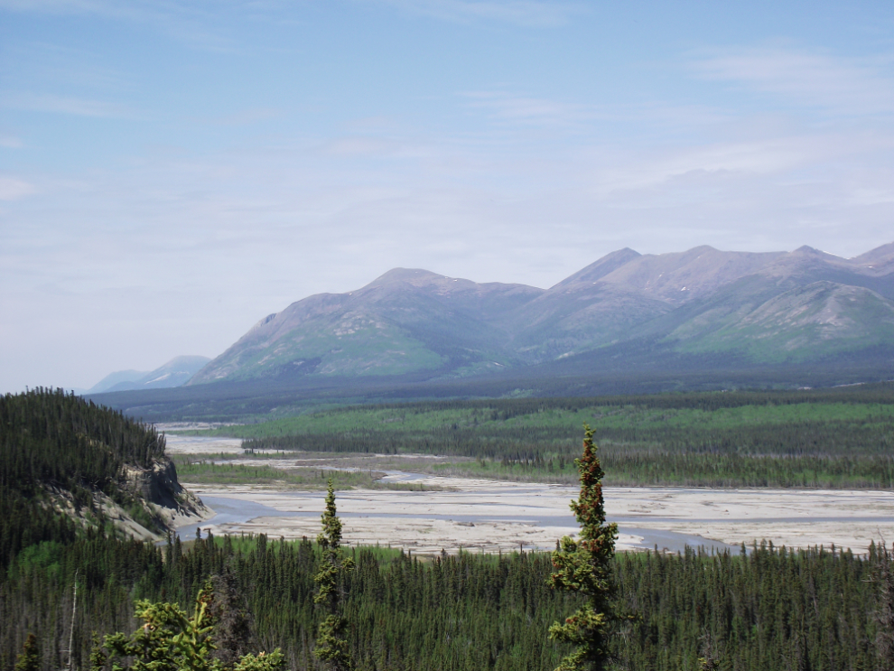
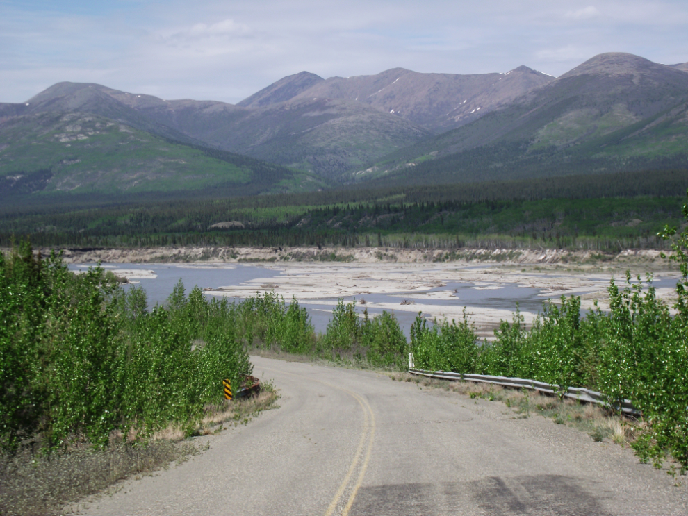
Some of the glacier-fed rivers are very impressive – not because of the flow but because of the size of the channels. This is the Donjek River at Km 1762.
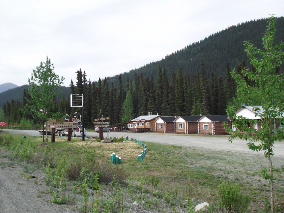
This used to be Pine Valley Lodge, at Km 1783. It’s been opened and closed many times over the past 20 years or so – I don’t know what the name is now, but it’s re-opened as a bakery and creperie.
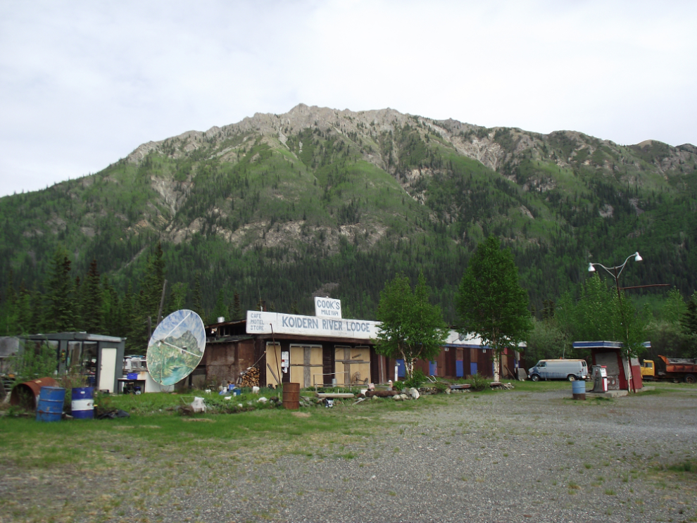
Koidern River Lodge was one of the classic on the highway – the Cooks were certainly a colourful pair and I used to stop whenever I could. The last time I saw them was a few years ago at Quartzite, Arizona.
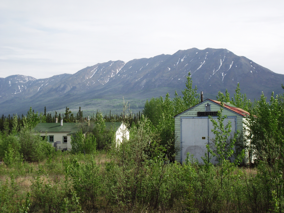
Bear Flats Lodge pre-dates my time here – it had been closed for a few years when I started running the highway in 1990. There was a short-lived attempt to re-open it in the early ’90s. On the left is one of the motel blocks and on the right the tire repair shop – tire repairs used to be one of the main things that kept these lodges alive.
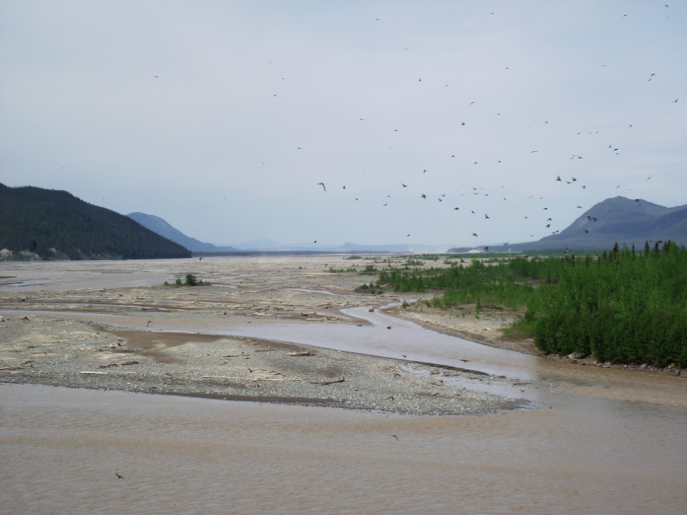
Crossing the glacial White River at Km 1818. The dust storms from that massive floodplain can be very impressive some days. The black dots in the sky are swallows – hundreds of them are nesting under the bridge.
From just past the White River almost to Beaver Creek is a nasty piece of road for a bike – alternating chipseal and gravel (some of it very soft gravel) for about 25 miles. I was with another motorcycle at the head of the pilot-car-led convoy but had to pull off to check my bags which had shifted so got a good load of dust in my lungs from there on.
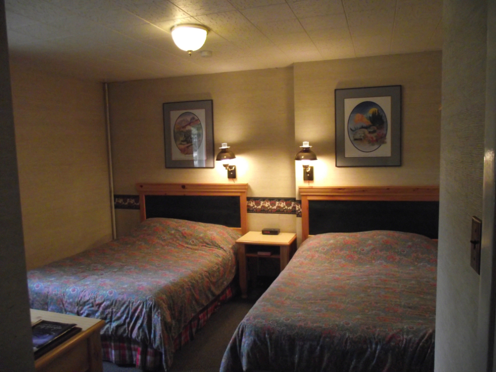
I tossed a coin and chose the Westmark Beaver Creek to stay at for the night, at $114. The staff and the food (just a burger in the lounge) were very good, but the property is simply tired – the old lumpy bed and tired bathroom in particular. Having spent many dozens of nights here over the years while driving tours, though, it was a good night anyway. The lounge brought back some good memories, too – one of them being my first talk about the Canol Project with Jean Kadmon.
On Thursday morning it was raining so I delayed my departure until it had almost stopped. The Day 2 photojournal will be posted later today…