A look at the Wolf Creek ATV trail
I’m spending a fair bit of time on the bike in the neighbourhood, but I’m only going to write 2 more blog posts about those outings unless something really different appears on one.
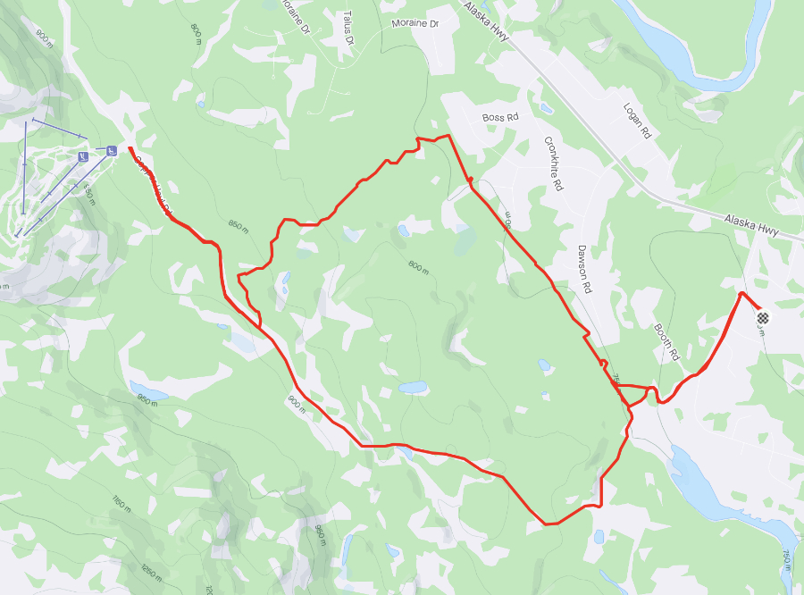
After the 53-km ride on July 8th, I only did 22 km on the 9th – to Mount Sima on the Copper Haul Road, then home on what is basically the Wolf Creek ATV trail that I noted on the 8th. See the details of this ride on my Strava page.
I was on the road just before 07:00, with the temperature at 9°C/48°F. The first photo was shot on Fireweed Drive right at 07:00.
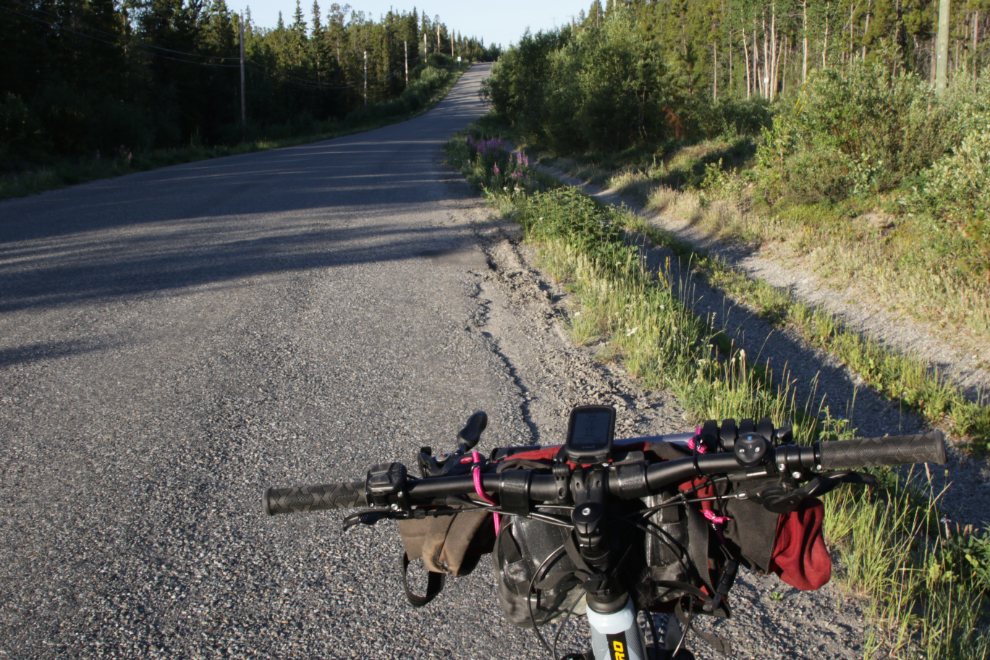
This is what the first kilometer of many of my rides looks like, on Fireweed Drive.
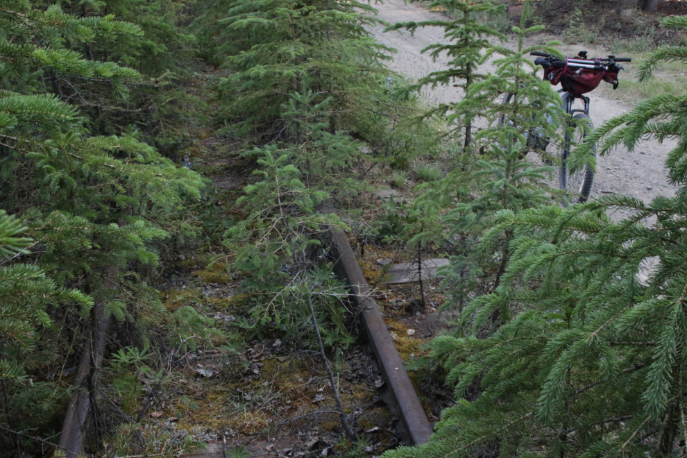
Heading into the Copper Belt, I often leave the main road and take a side trail that goes along a bit of the White Pass & Yukon Route railway. This was the main line of the railway, not the copper mine spur I showed you a few days ago.
Having covered it well the day before, I only shot one “record” photo of the firebreak on the way to Mount Sima, where I turned around.
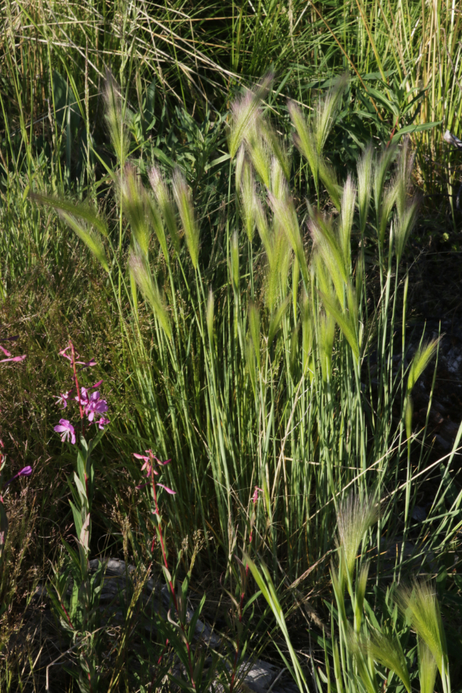
Although Foxtail barley (Hordeum jubatum) can be deadly for animals that eat it, it’s quite pretty in the morning sun.
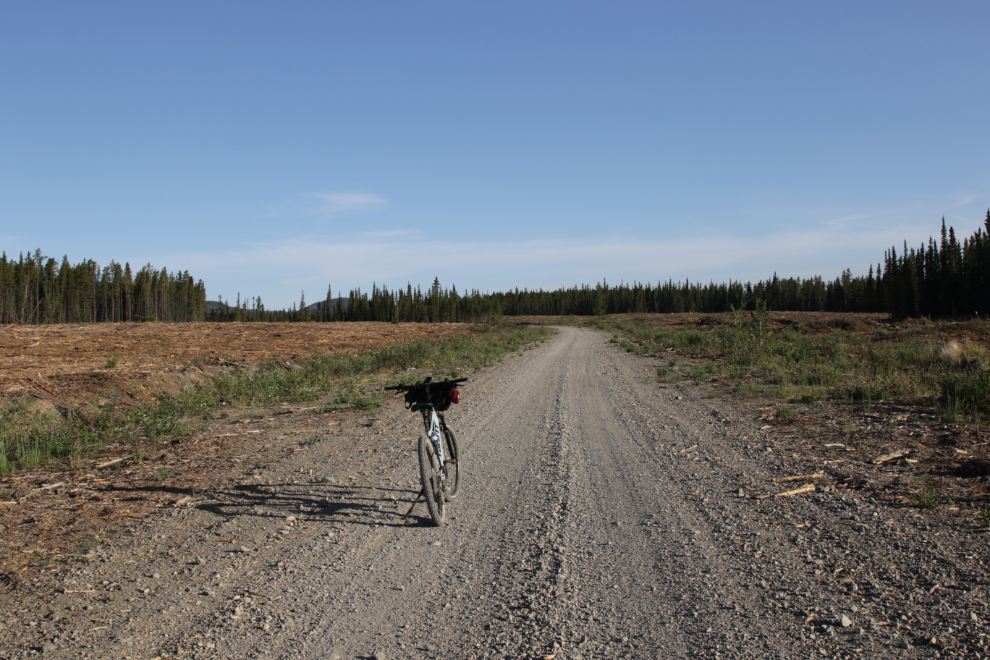
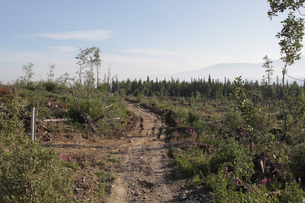
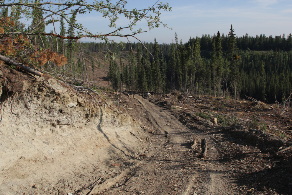
A sign on the Copper Haul Road notes this as the trail to Wolf Creek. Although the logging equipment has torn it up, it’s still pretty good riding through the firebreak. I started down the trail at 07:55.
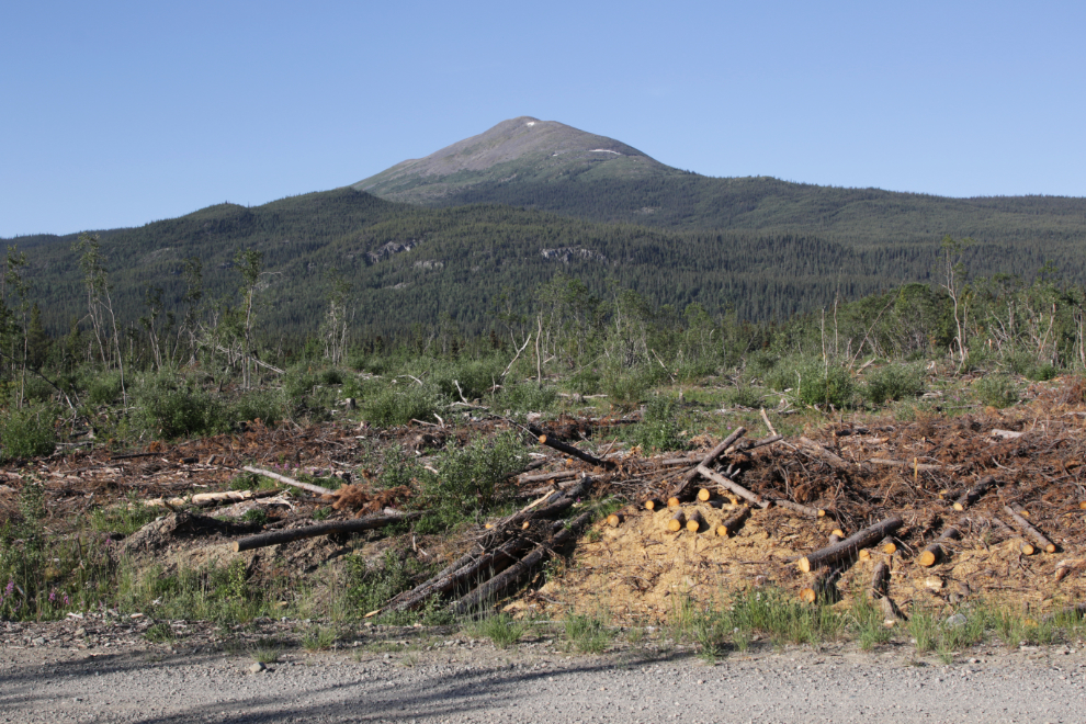
Looking back at Golden Horn. The logs in the foreground were apparently available for public firewood cutting.
This little valley was a surprise. It will be lovely when the poplar trees are planted.
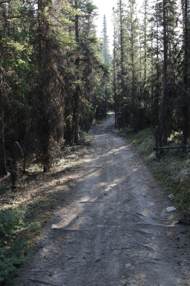
The trail surface continued to be pretty good once into the forest, just 7 minutes down from the Copper Haul Road, though there were some sections with a lot of exposed roots.
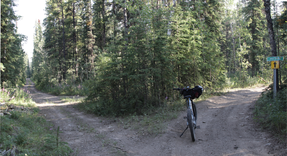
Where the trail splits, the way to Wolf Creek is well marked.
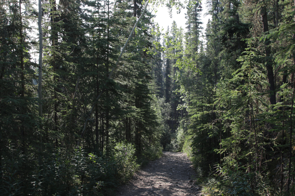
Though the photo doesn’t really show it, this section, 25 minutes down the trail, is very steep and loose.
You know you’ve reached the bottom of the trail when you come to the railway crossing – it was now 08:23.
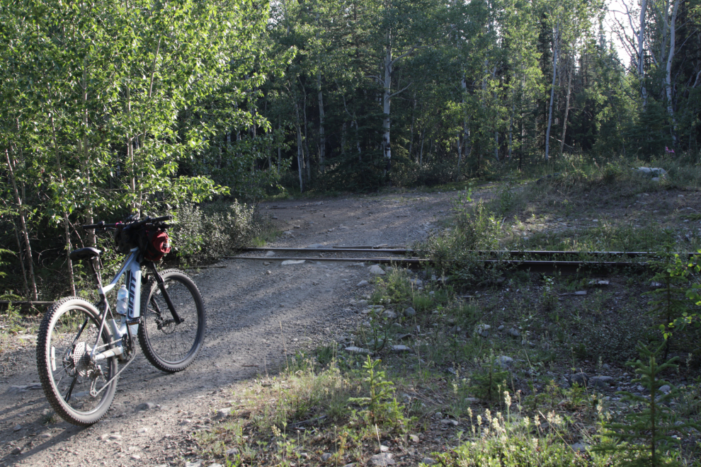
Crossing the tracks, you come to a “T” – Trailforks calls this the White Pass South trail. For me, home was to the right (straight ahead in the next photo).
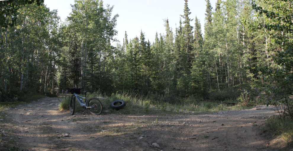
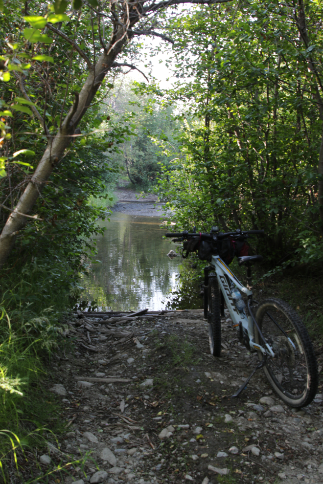
I didn’t remember or recognize this water crossing. I parked the bike and walked out into it – it was solid and shallow, so no problem. Halfway across, I realized that I’d missed a side trail that goes to an even easier crossing that I’ve been across a few times.
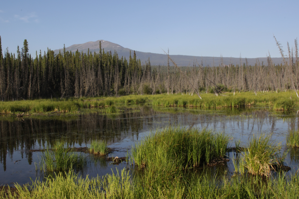
This pond, beaver-enhanced at one time, resulted in the railway grade being washed out many years ago. That was the cause of the water crossing.
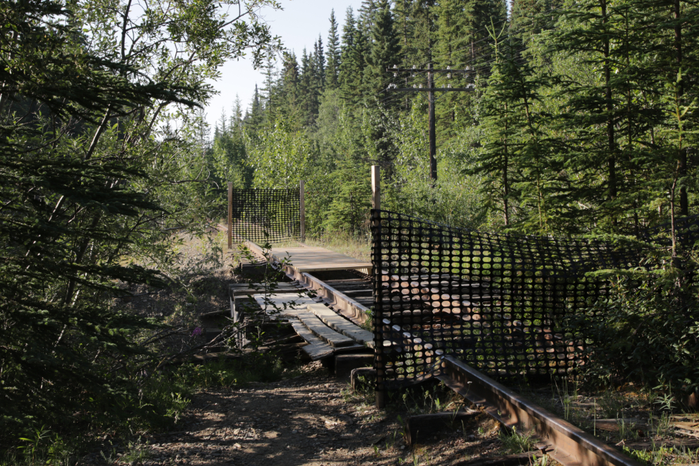
The railway bridge over Wolf Creek has increasingly become a challenge to get across with a bike, and I wasn’t really surprised to see it now closed. I was surprised, though, to see that somebody is building a new walkway across the now-unsupported rails.
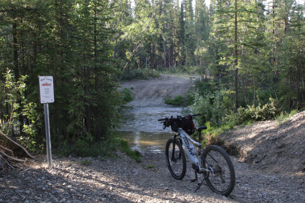
A well-used trail led to this crossing of Wolf Creek – it’s been used by ATVs and trucks for many years.
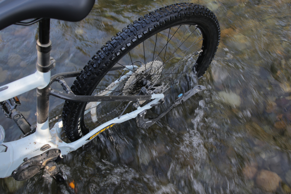
This crossing, too, was solid and fairly shallow. The next photo shows the deepest spot – all of my bike’s electronics are well above the water. Although I’ve carried the bike across many stretches of water that were too deep, I’d rather not do it, as it’s bloody heavy.
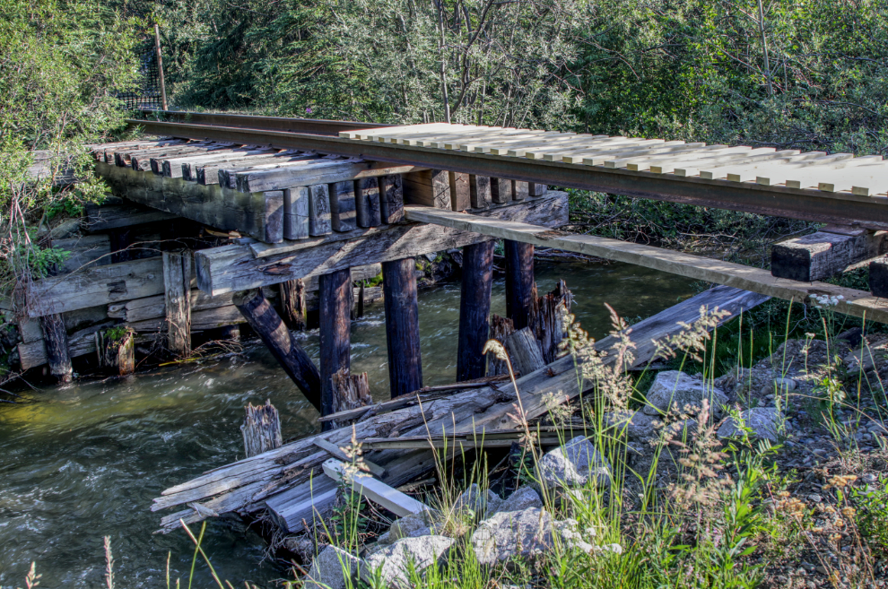
The final photo shows the current state of the railway bridge.
It was 18°C/64°F when I got home after having been out for 2 hours and 10 minutes. Although I wasn’t particularly impressed by the trail, this was a nice distance to start the day out.
Over the past week, Cathy and I have booked a couple of big trips. The first, a 17-day cruise from Vancouver to Hawaii and back on the Konigsdam, is coming up soon, on October 7th. The other is another cruise, to Alaska on the Noordam next June. The trip we made to Kelowna a few weeks ago (which I never was able to blog about) clearly showed some of the things that don’t work for me anymore, and we think that cruising will allow the flexibility I need, with our cabin’s verandah as my escape when I need it.

You posted a bunch of photos and explanations about the sizes and extents of the firebreaks…but what a mess… and replantings? I’d have to read up on how that works… That RR bridge rebuilding project – a local trails club or bike club effort? You have to be able to depend just on the strength of the rails, but certainly some dirt bikes and ATVs would be tempted unless it was too narrow. Been there…
I expect the aspen/poplar replanting will start next year. Yes, seeing that footbridge supported by nothing but rails is a bit concerning.