Exploring more of Faro – Van Gorder Falls and Mount Mye
My first look at the Faro area and Drury Creek Campground in particular on July 26th caused me to cancel the Alaska part of the trip and return for a better look from August 2nd until the 6th. This post, the final one about the trip, describes some of what I saw in Faro during the return visit.
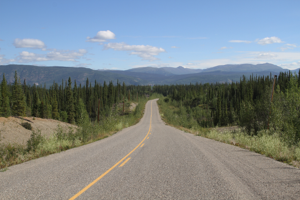
The first photo shows Mitchell Road, which runs 10 km to Faro, from Km 414.3 of the Robert Campbell Highway.
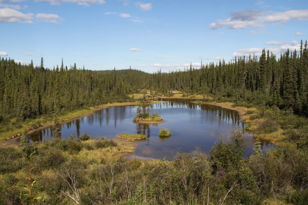
A scenic pond along Mitchell Road a few hundred meters from the Campbell Highway.
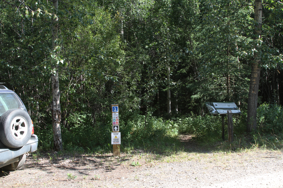
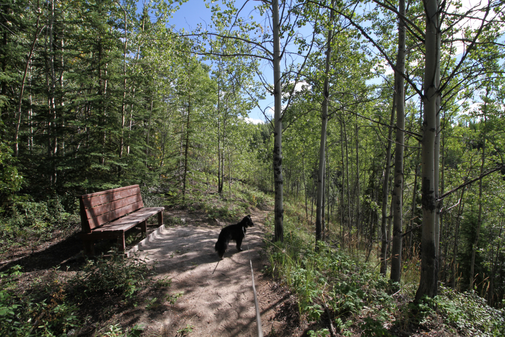
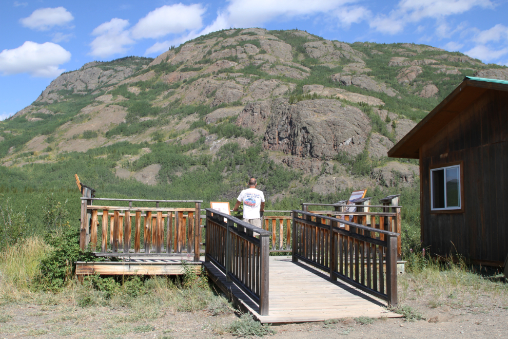
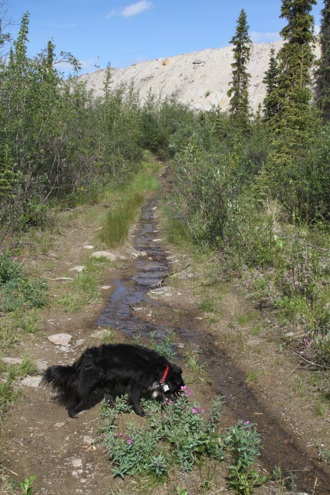
The extensive network of hiking and multi-use trails around Faro were a large part of what caused me to return. The first one that Tucker and I hiked was the short one to Van Gorder Falls. There are several possible access points to the trail, but I chose to park at the upper end of the John Connelly RV Park – from there, it’s 1.2 km to the waterfall.
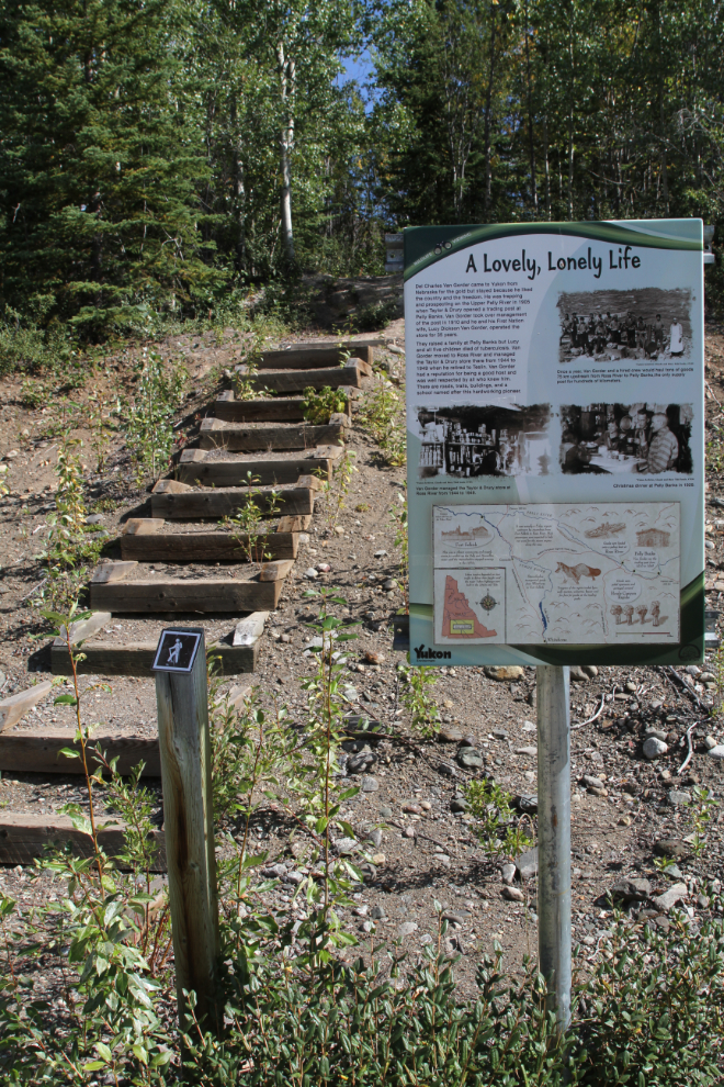
The trail is described as being self-maintained, but it’s in generally excellent condition. Stairs and benches make some of the grades easier, and there are several interpretive panels. The feeling for the first part of the trail is rather unusual, as its route is along a light-industrial area and crosses a road.
Although the day was warming up in a hurry, the trail is mostly shaded.
Twenty minutes after leaving the campground, we arrived at the viewing deck high above Van Gorder Falls, which was named after Del Charles Van Gorder, a pioneer gold miner and trapper who later ran the Taylor & Drury trading post at Pelly Banks from 1910 until 1944 and then the company’s post at Ross River until 1949.
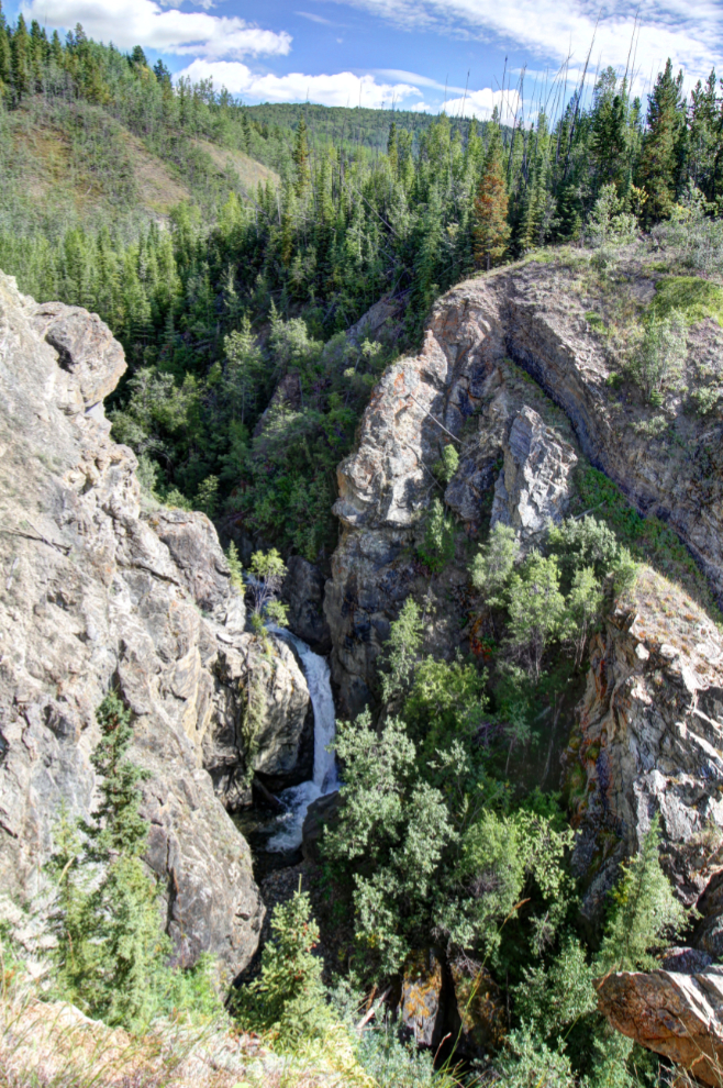
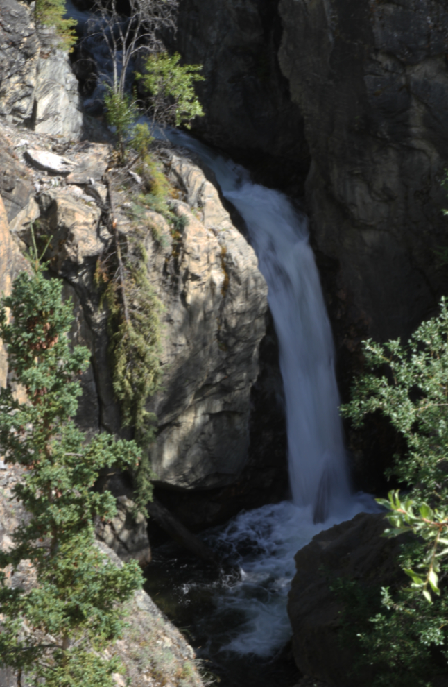
A closer look from the viewing deck. Although I like to get to the bottom of waterfalls whenever possible, I saw no way to get there.
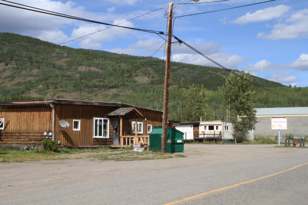
Back in town, I drove around for a look. The population of Faro as of March 2015 was 415, so probably 80% of the buildings are empty. The condition of the buildings varies greatly – some look pretty good, others are derelict. Many are for sale – the Town has a page that lists all the properties for sale, at prices starting at $5,400 for a 3-unit townhouse building – yes, that’s $5,400 for the whole building. For $135,000, you can buy an operating bed-and-breakfast.
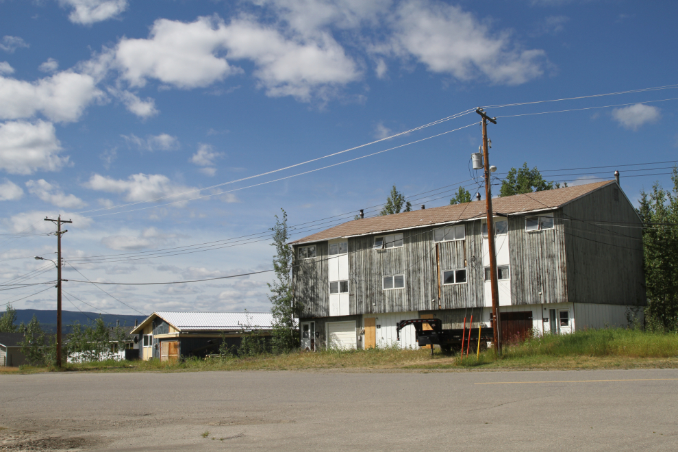
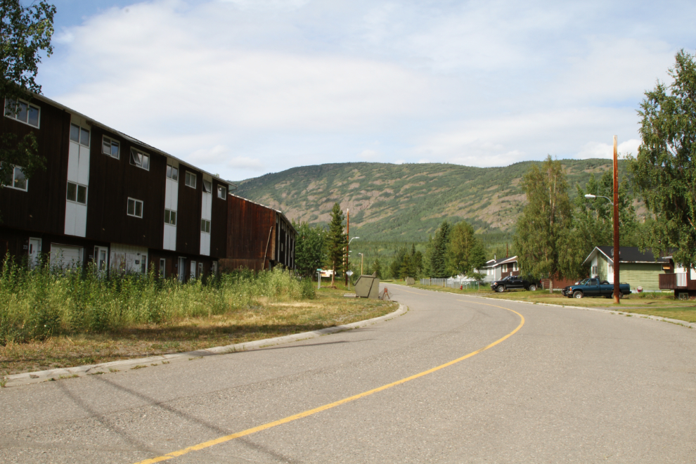
In part of the lower section of Faro, there’s quite a contrast between the single-family-home side of the street, almost fully occupied, and the apartment side of the street, fully abandoned except for one which has been turned into the Faro Studio Hotel.
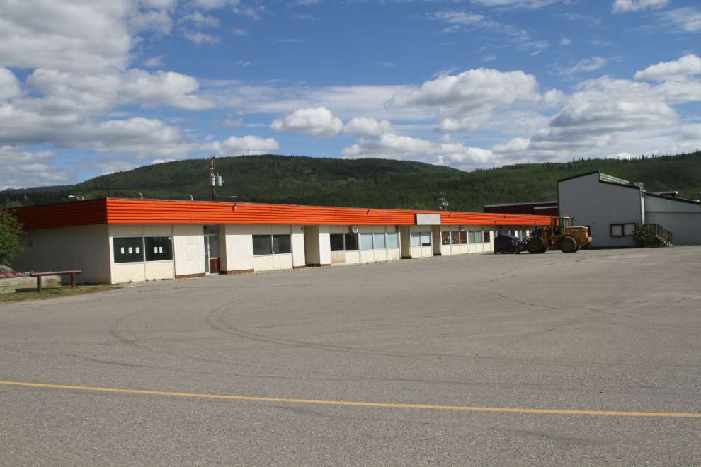
Downtown Faro as I knew it 25 years ago is gone – the hotel burned and the commercial complex is all empty. I went back to the visitor centre to find out where the grocery store and liquor store are hidden now, to stock up before going back to the motorhome.
I did find one section of Faro that looks quite normal – that is, almost fully occupied. The single-family-home section on the uppermost part of town has a few homes for sale, but is in generally good condition.
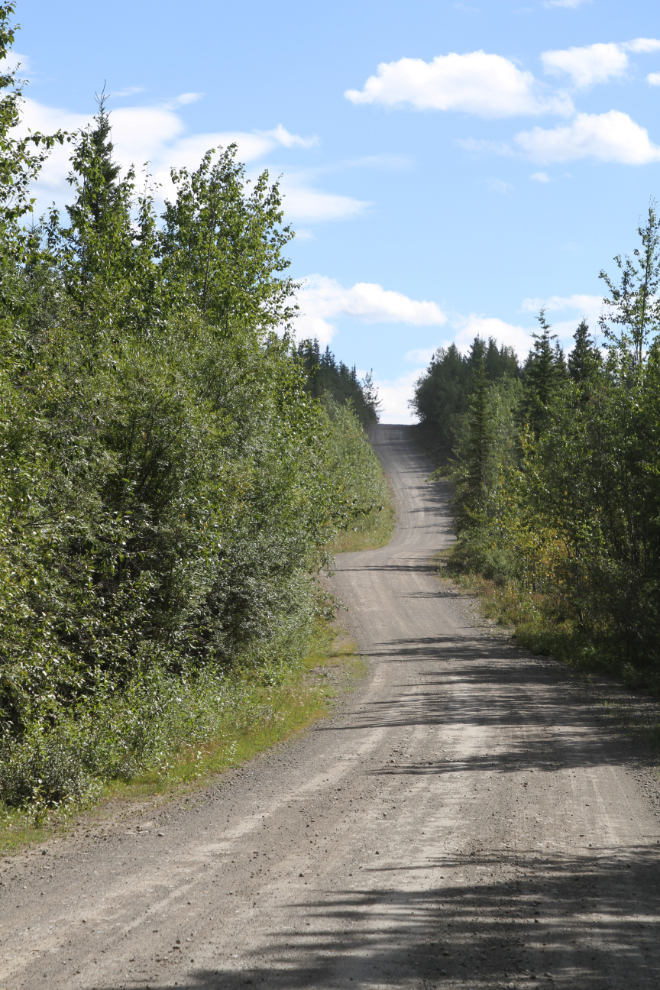
From upper Faro, I headed into the wilderness to the east, to the Mount Mye Sheep Centre. It’s located 8 km up the Blind Creek Road, seen in the next photo.
Things were quiet at the Mount Mye Sheep Centre when I was there, but in a few weeks, Fannin sheep (or Fannin’s sheep) will be returning to the mountain slope it faces. At about the same time, thousands of sandhill cranes will be on their southward migration overhead. I will note here that, although the tourism page says: “Being in one of the most densely populated wildlife corridors, you will most likely encounter many species of wildlife during your visit in Faro”, I saw no animals during my 5 days there.
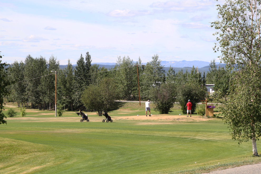
Back in Faro, here’s a look at the 9-hole golf course that runs through the middle of town. The level of maintenance of many spaces in Faro – notably the lawns and parks – is very high. Surprising given the fairly small tax base.
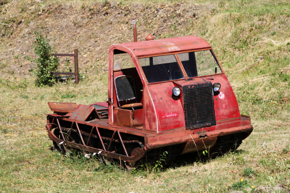
The 1960s Bombardier Muskeg in the photo below is sitting in front of what I think was a mechanical shop in the mine days. Posting this photo in my got the response that a couple are still working in the Klondike gold fields – a story and photos about one working on Stowe Creek in 1980-81 can be seen on Robin Trethewey’s Hotspring Lodge site.
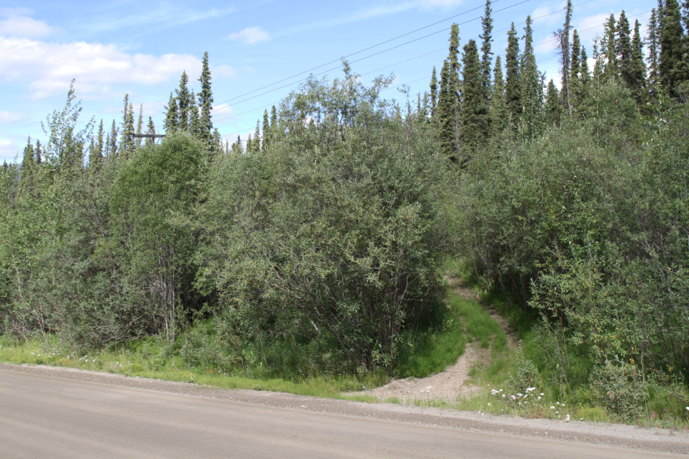
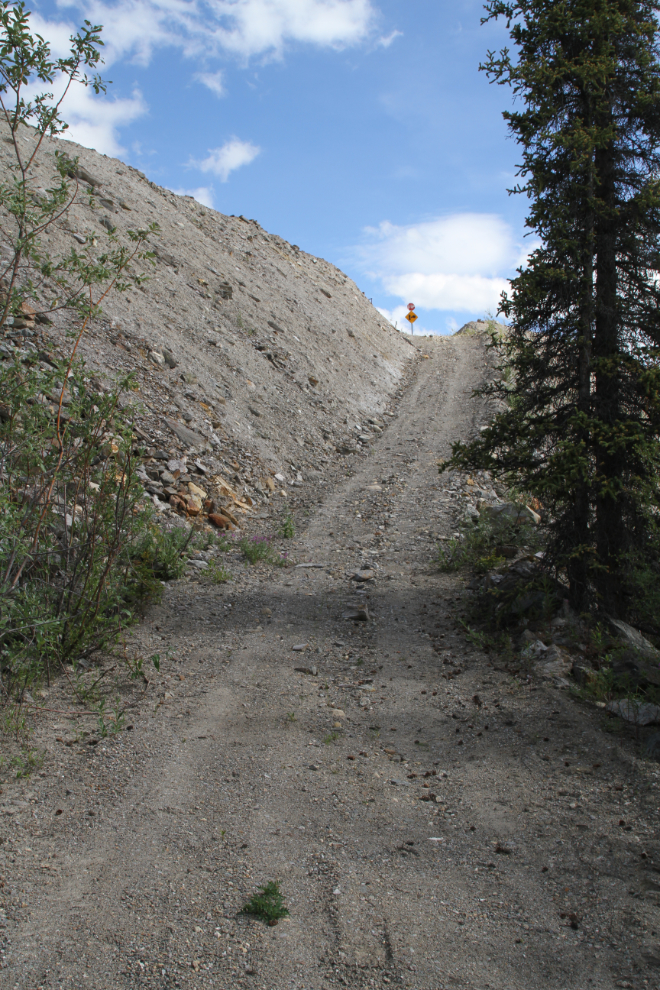
I wanted to see more of the Faro Mine if possible, so the next trail on my list was the Moose Trail. The visitor centre has a handout about it, but its not very accurate. On my 3rd pass along the road near the possible starting point, I found the trailhead, an ATV trail at Km 15.9 of the mine road.
Seven minutes from the mine road, I could see what I expected was the mine’s haul road ahead.
The ATV trail provides easy access to the haul road.
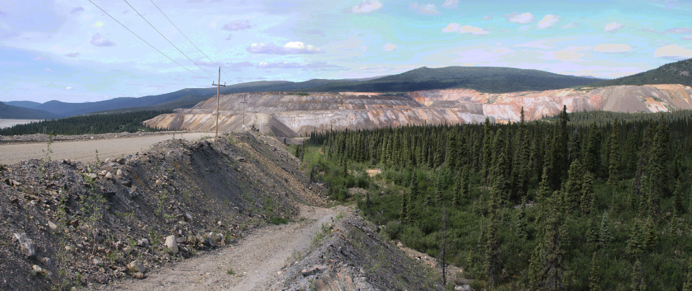
The haul road is huge, and provided a useful view over the mine property. The ATV trail then goes down into the forest again, and eventually leads to the back side of Mount Mye. It looks like a superb ATV trip.
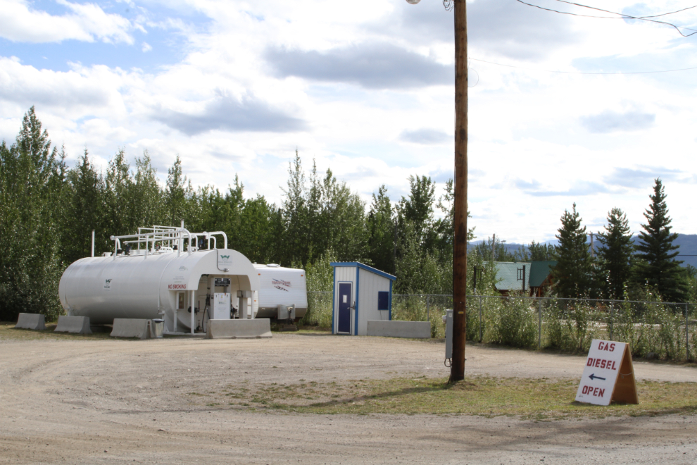
At 3:30, it was time to get my errands done and get back to Drury Creek Campground where Bella and Molly were waiting for Tucker and I. First, top up the Tracker’s gas tank. This gas station has been a 24-hour cardlock but that system died back in May and is now manned during the day.
The tough business to find was the grocery store, even with directions. There’s no sign, and I eventually walked into what turned out to be the manager’s office. But I found what I want in a real old-time “if we don’t have it, you don’t need it” store 🙂
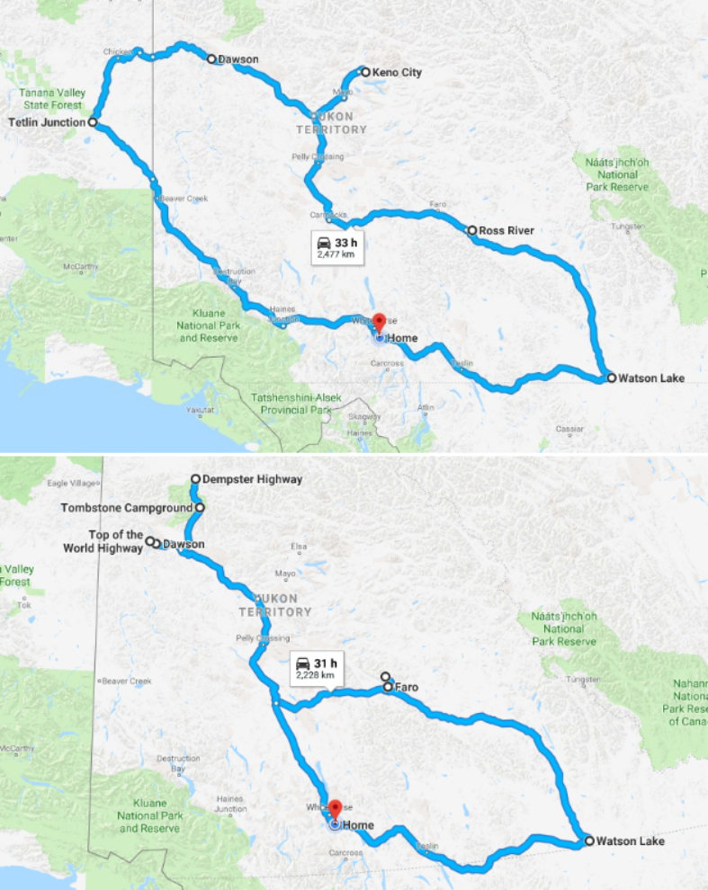
We’ve been back home for a few days now. This 13-night trip turned out to be very different than the one I had planned. The upper map of the 2 below shows the planned route, the lower one is the actual route as a result of cancelling Alaska in favour of Faro.
Not counting the well-stocked RV cupboards that I departed with, our total expenses were $1,592.28 – almost half of that was for fuel and much of the rest was for Cathy’s flights to and from Dawson. I paid for parking/camping for 1 night of the 13 – roadside stops and my Yukon Parks annual pass (which is free for Yukon seniors) covered the rest.
Fuel for the RV – 659.60
Fuel for the Tracker – 100.54
Camping (1 night in Carmacks) – 37.80
Sani-dump (1 in Dawson) – 5.00
Meals – 180.68 (118.38 of that was 1 meal in Dawson)
Groceries – 41.96
Wine, coolers – 34.70
Car wash – 22.00
Flights for Cathy – 510.00
With Fall having now arrived in Whitehorse (it was 1 degree below freezing yesterday morning), I’m running out of time for more exploring, but have a few ideas yet.