Exploring Faro – the Johnson Lake Campground and the Faro Mine Complex
I’m writing this post while parked at a rest area high on the Top of the World Highway, with a panoramic mountain view to the north. It’s Day 5 of this RV trip, and I’ve decided to make a major change in the itinerary I had planned. Rather than continue on into Alaska and return to Whitehorse via the Alaska Highway, I’m going to return to the Robert Campbell Highway – to Drury Creek Campground and Faro in particular – with some other exploring on the way.
This post, though, is about the middle part of Day 3 – Thursday, July 26th. We left Lapie Canyon Campground at about 11:00 am, with the thought that we would spend that night at one of the 3 campgrounds on the Frenchman Creek Road, northeast of Carmacks. That’s not how it played out, though.
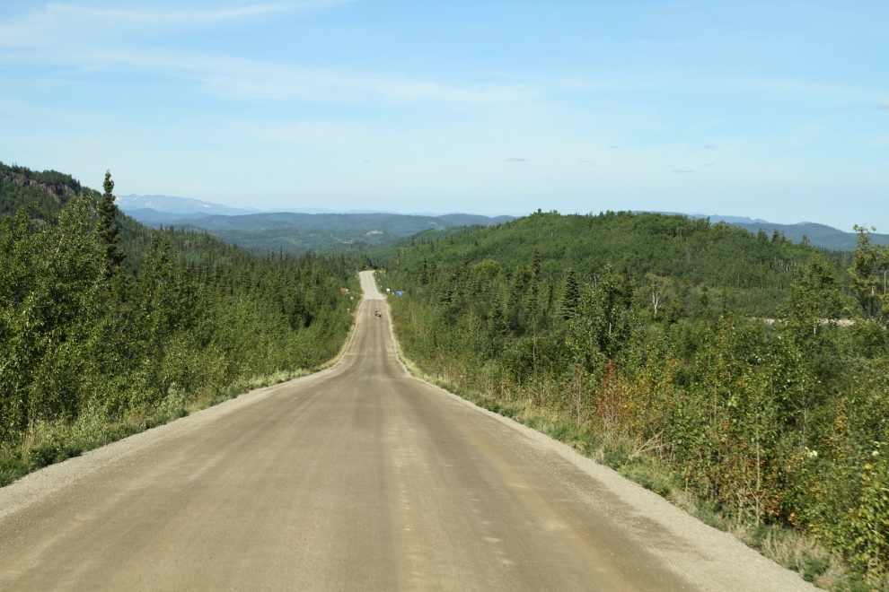
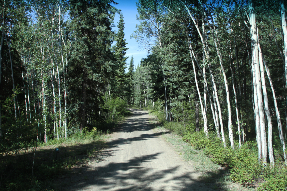
The first photo shows the view westbound on the Robert Campbell Highway right at the Km 366 post, just 2 km from Lapie Canyon.
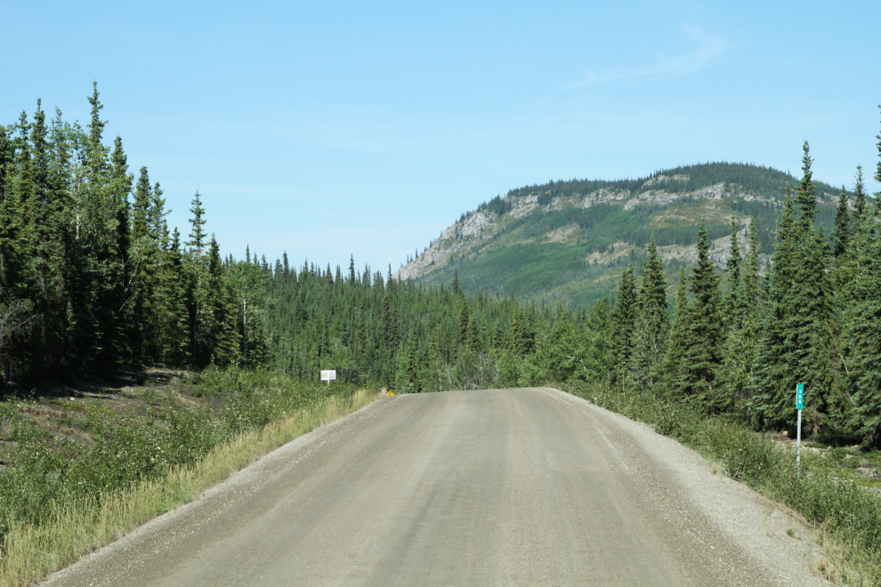
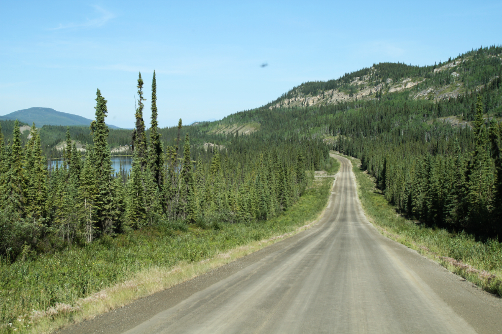
It’s only 50 km from Lapie Canyon to the access road to Faro, but the country changes quite a bit in that distance. Bare rock outcroppings crowd the road in more and more places, and lakes (in contrast to marshy ponds) are more common.
Seen in the distance is the junction with the Faro access road (Mitchell Road), and the start of pavement on the Robert Campbell at Km 414.3. A couple of the 14 bicyclists I’d been meeting were nearing the junction and heading to Faro as well.
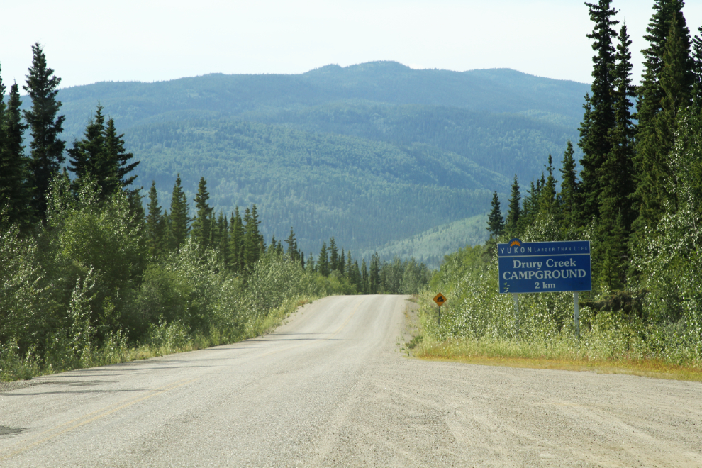
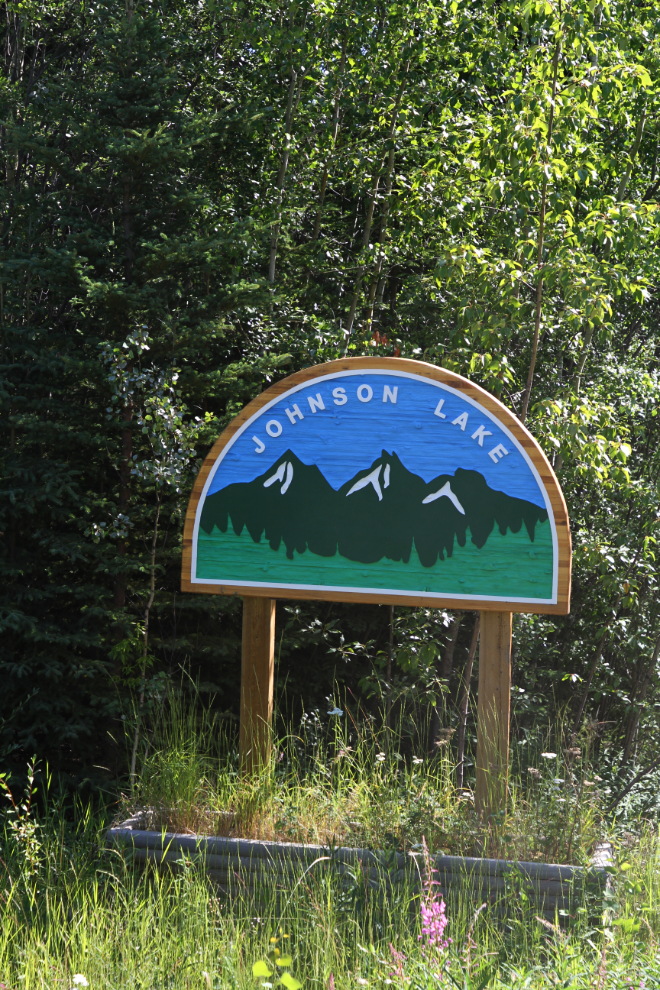
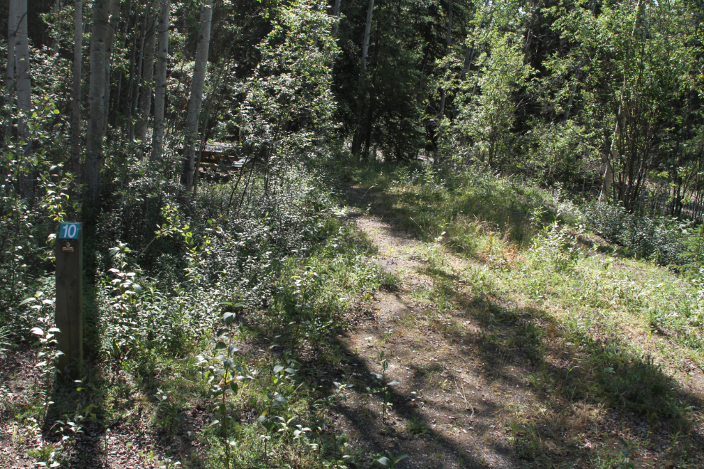
Checking out every campground along my route is one of my projects for this trip. Johnson Lake Campground is off Mitchell Road, on a road that only has a sign noting it as the access road for the Faro airport.
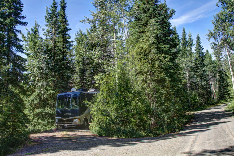
Of the 15 campsites at Johnson Lake Campground, 6 are pull-throughs. I tried one on for size (#3, I think), and it was reasonably spacious.
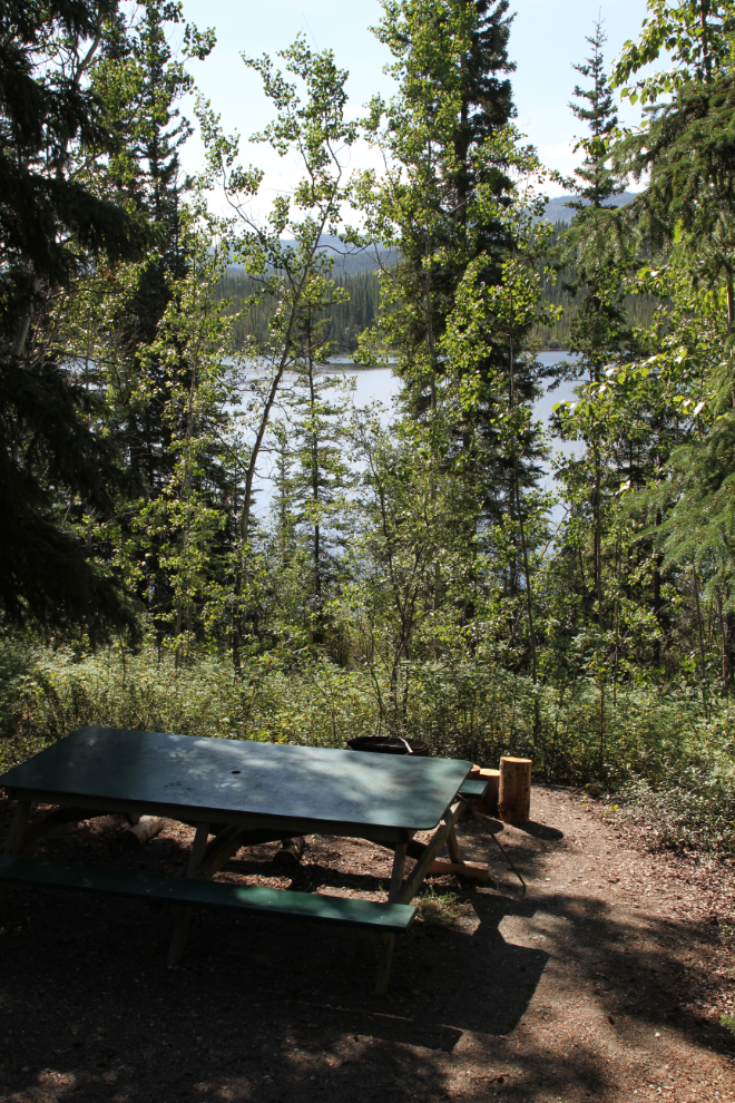
This site had the picnic table below the RV parking, but other sites had it on the same level. All of the pull-throughs had the sort of obscured lake view seen in the next photo, but I didn’t see any sign of a trail to the lake.
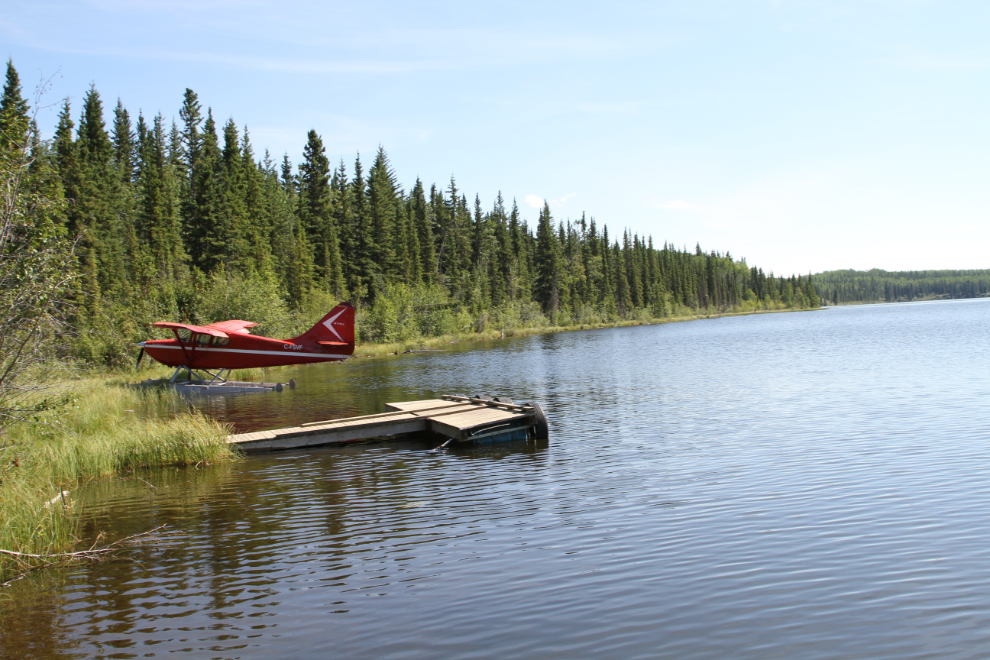
I took Bella and Tucker for a long walk down to the lake via the boat launch road. The lake is pretty, but there’s no beach to play on. When we arrived at the campground, a fellow was just loading his kayak back onto his car – other than him, we had the campground to ourselves.
The next photo shows the top of the campground loop road.
The campsites on the upper level seem to rarely get used. This is probably the least-used government campground I’ve seen anywhere.
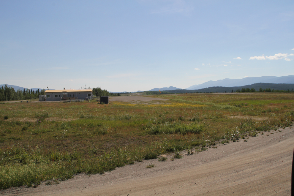
My next stop was at the airport, just to see what it looks like. I don’t think that any aircraft are based there anymore.
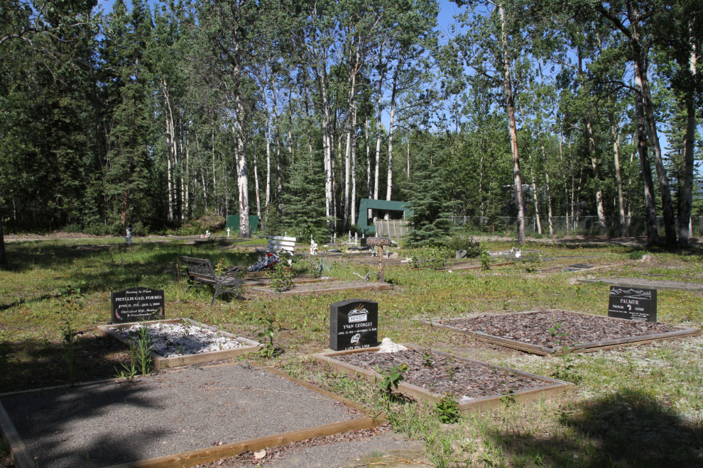
Adjacent to the airport is the Faro Cemetery. Once I saw how small it is (Faro was just founded in 1969), I decided to photograph each of the graves for my cemetery project and possibly to help at Findagrave.com.

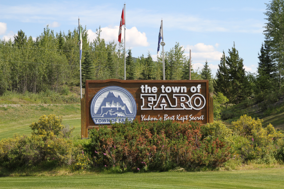
Welcome to the town of Faro, “Yukon’s Best Kept Secret”. That seems to be very true.
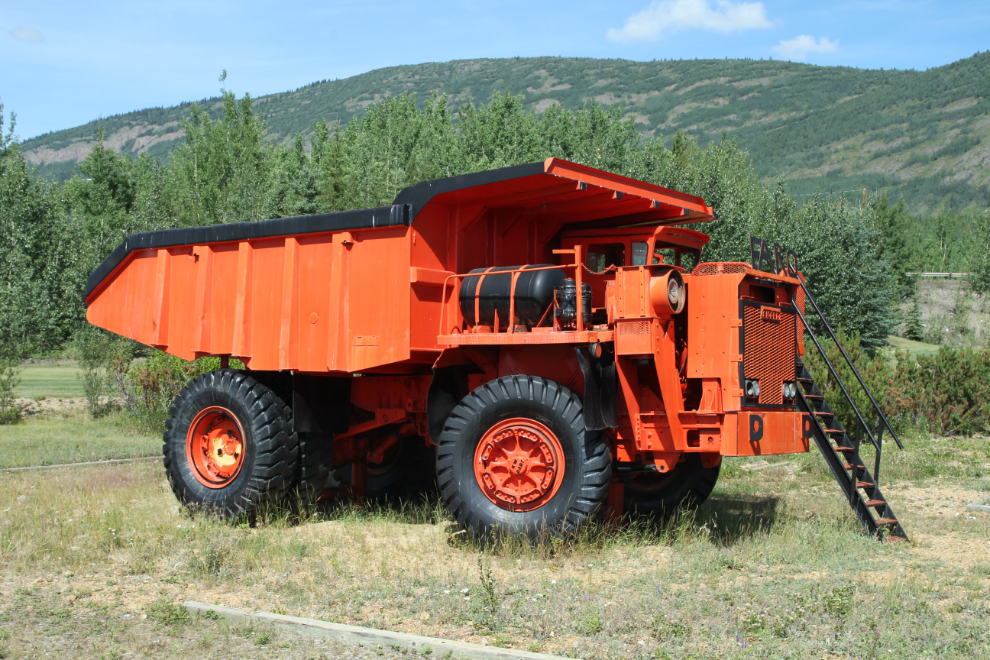
Across the road from the welcome sign is this little mining truck. I used to think it was a big mining truck, but it’s only about 65 tons capacity, so quite small as mining trucks go.
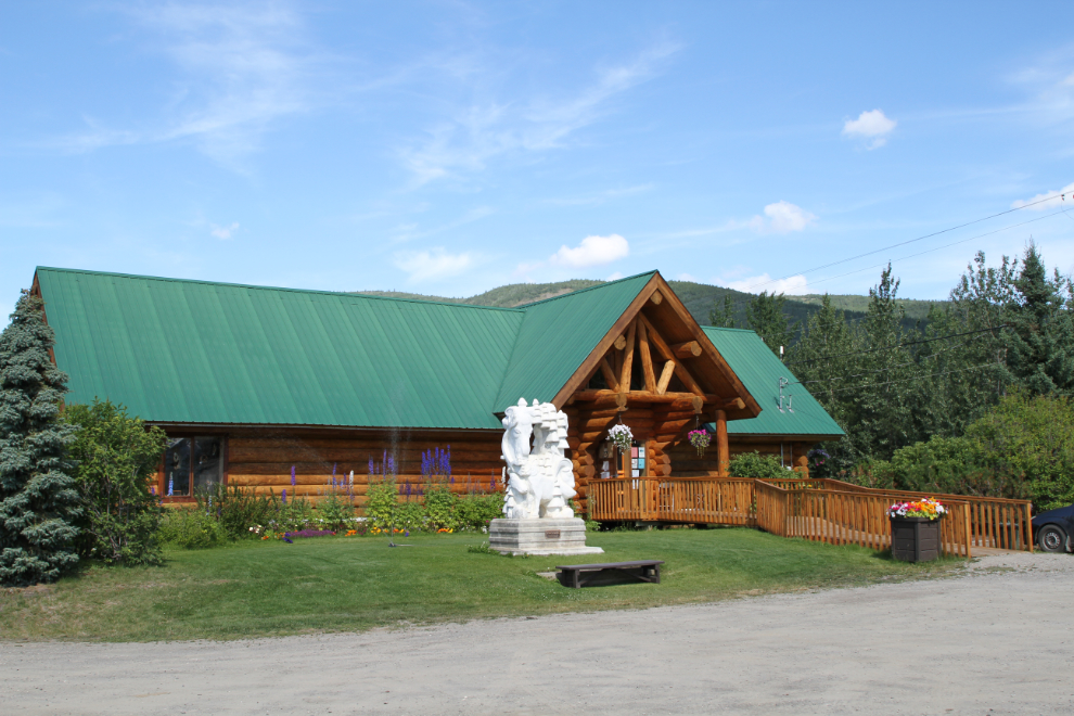
My next stop after the welcome sign and mining truck was the visitor information centre (called the Campbell Region Interpretive Centre), where the helpful woman on duty answered my questions about the mine, the trails, and the general state of the community, which still has many empty buildings from the days when the mine was operating.
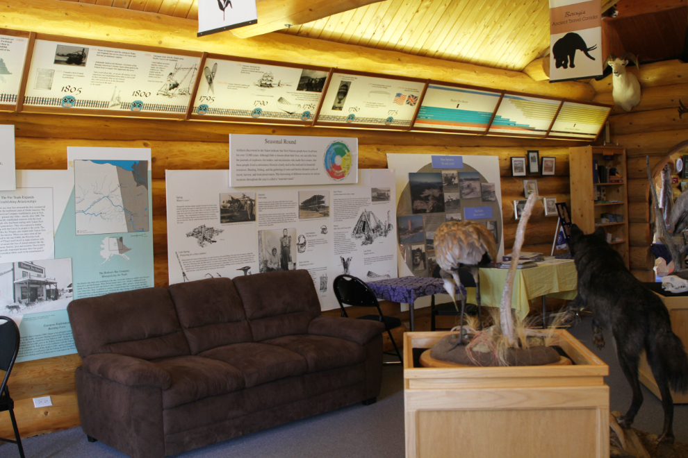
There’s a lot of information displayed on the many interpretive panels in the visitor centre. The leader of the bicycle group arrived just after I did, and registered his group for a 2-night stay at the campground across the road. I thought briefly about staying as well, but this was going to be my last night before meeting Cathy in Dawson, and the drive from Faro to Dawson is longer than I prefer to have.
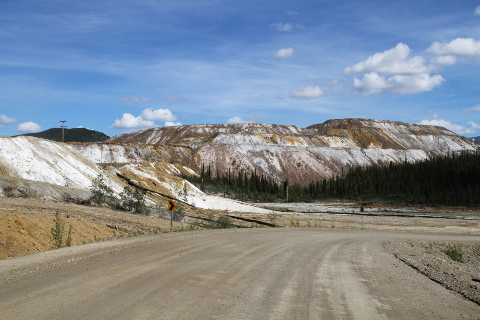
The next photo shows the mine I wanted to see. The lead-silver-zinc mine began in 1969 as the Anvil Range Mine, and grew to become one of the largest open-pit mines in the world. It had a rather complex history, which I don’t have Internet access to research and tell you about now. Its final year of operation was 1998, though, and reclamation work is going on now.
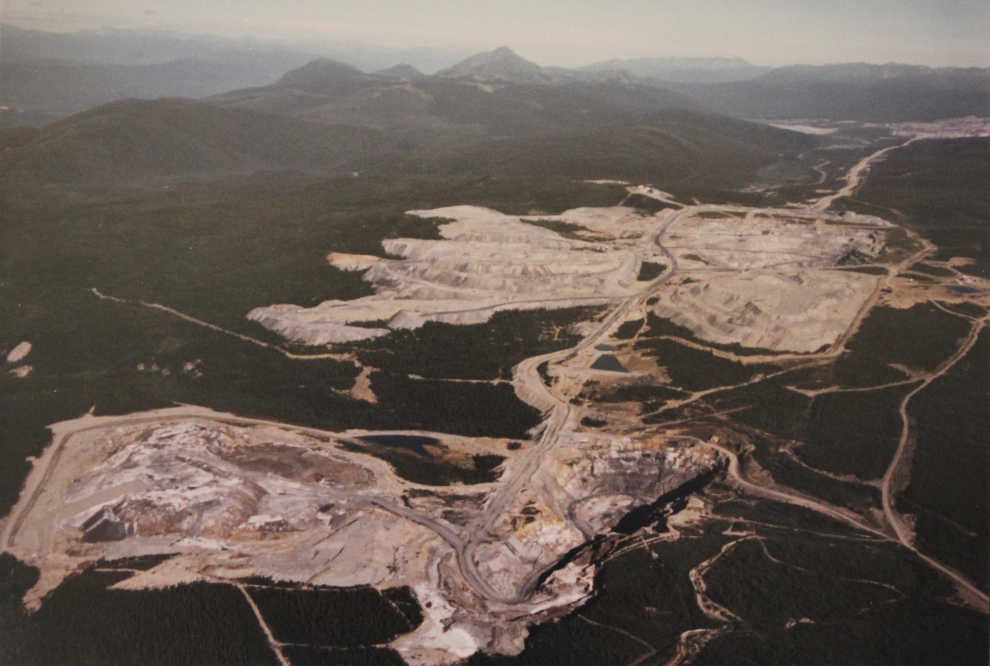
I drove back to the huge parking area by the mining truck, unhooked the Tracker, and headed up into the hills toward the mine. It’s a 22-km drive on a very good gravel road. It was getting very warm – nearing 30°C – and Bella loved the wind coming into the back of the car 🙂
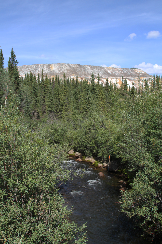
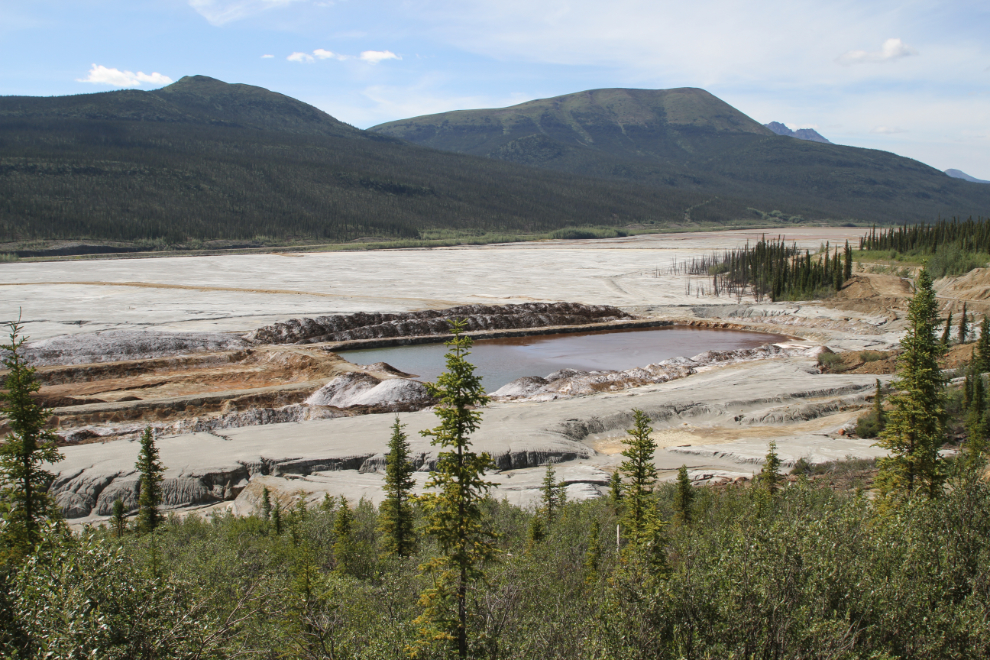
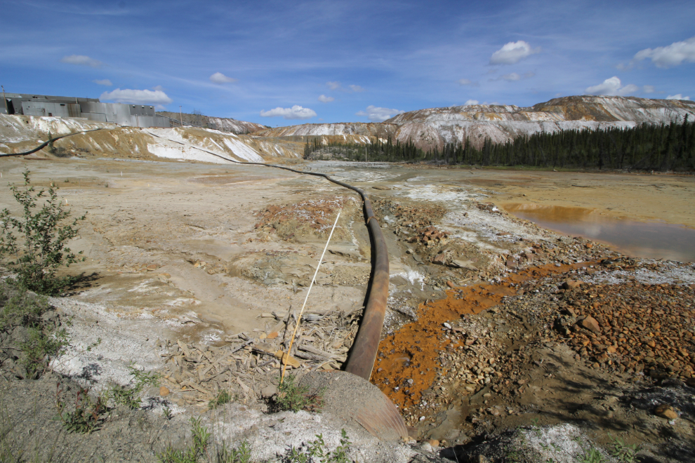
I had no idea how much of the mining operation could be seen from the road but I had high hopes. The tailings piles could be seen from miles away, then the road went along a huge tailings pond, now dried up. All side roads were signed “Restricted Area”. Across the road from this creek which had a lot of what appears to be monitoring equipment was a sign saying: “Do Not Contaminate. Drinking Water. Anvil Mining Corp. Ltd.”.
Work of some sort appeared to be in progress on the tailings pond.
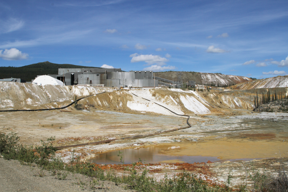
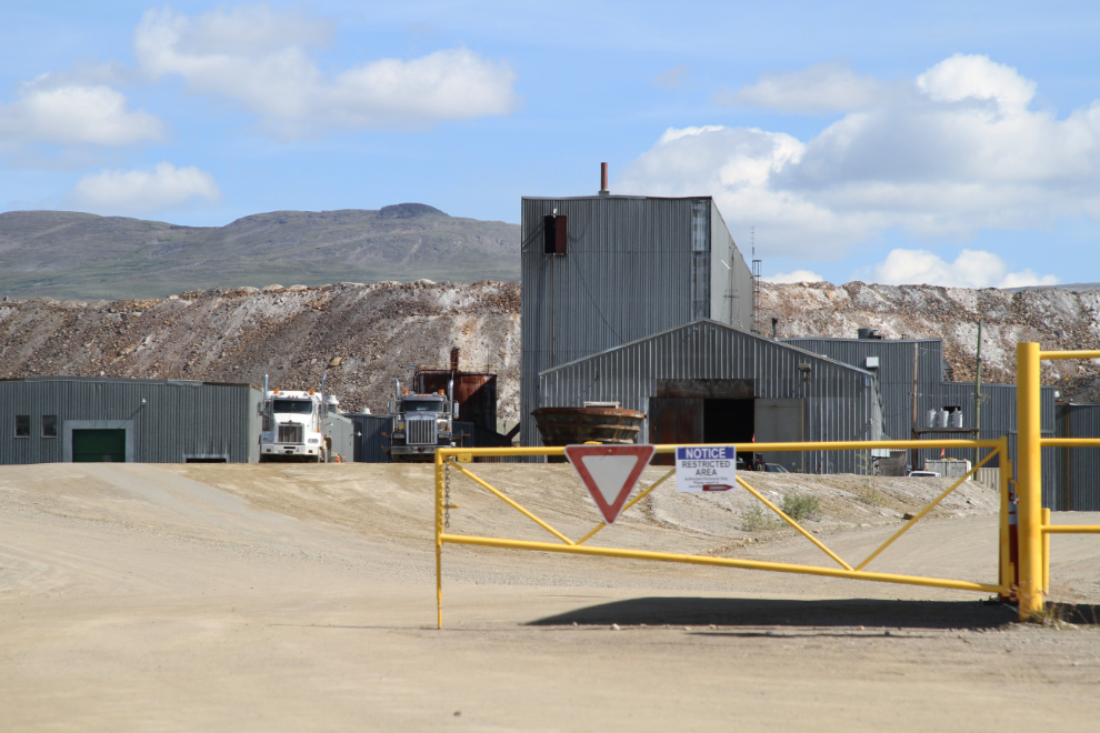
The next 2 photos show the main mill buildings and adjacent tailings. Now that I’ve seen the mine, I have a lot of questions about the mine operation and its remediation for when I go back to Faro in a few days, and when I get home and can research online.
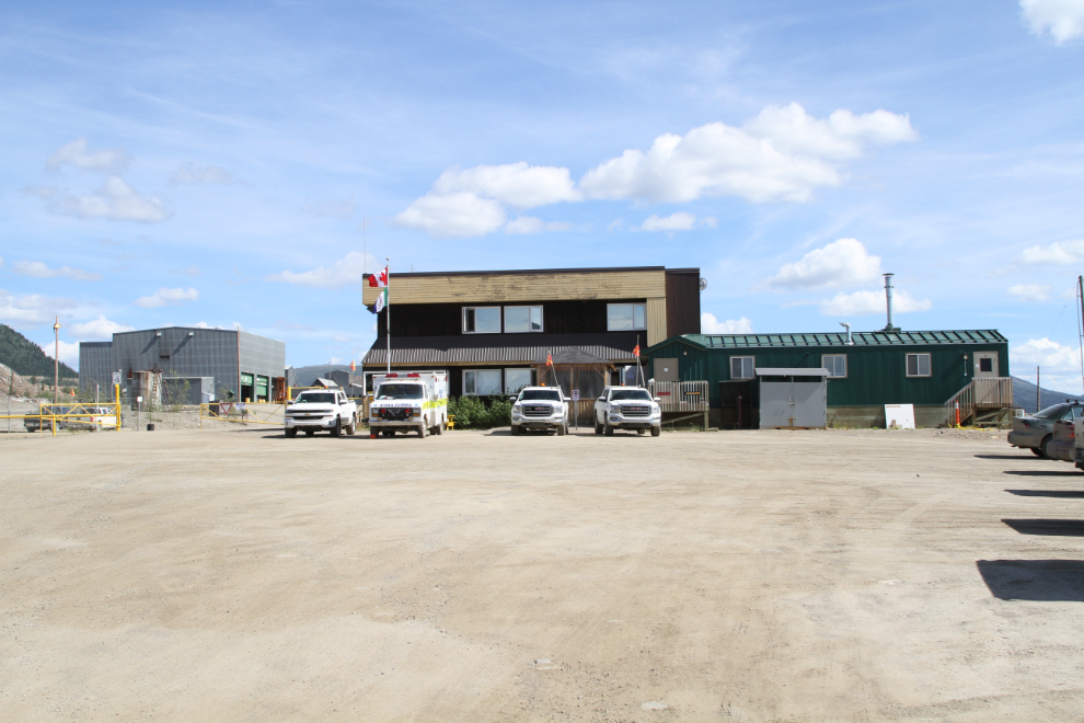
The public road ends at the administration building. A sign notes that this is the Faro Mine Complex, and that “Care and Maintenance” is provided by Parsons, with the project managed by Indigenous and Northern Affairs Canada.
I sure wish there was an interpretive centre, or better yet tours, at the mine, given what this is costing the taxpayers.
A new dump truck roared by on the other side of the distant security fence. On the right is one of several massive dump boxes from the 120-ton trucks that replaced the little orange one at the entrance to Faro.
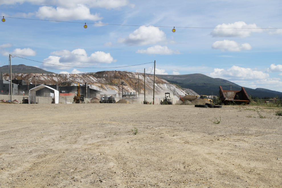
One more shot of the tailings beside the mill. Further down the road, I stopped to take a photo of some very old tanks down in the tailings pond – within seconds, a Parsons truck was beside me asking if everything was okay. As I was driving up to the mine, I met an RCMP truck coming down. Security seems to be a big deal, but how do you secure a property that’s many dozens of square miles in size? Or perhaps the question is, why do you secure it?
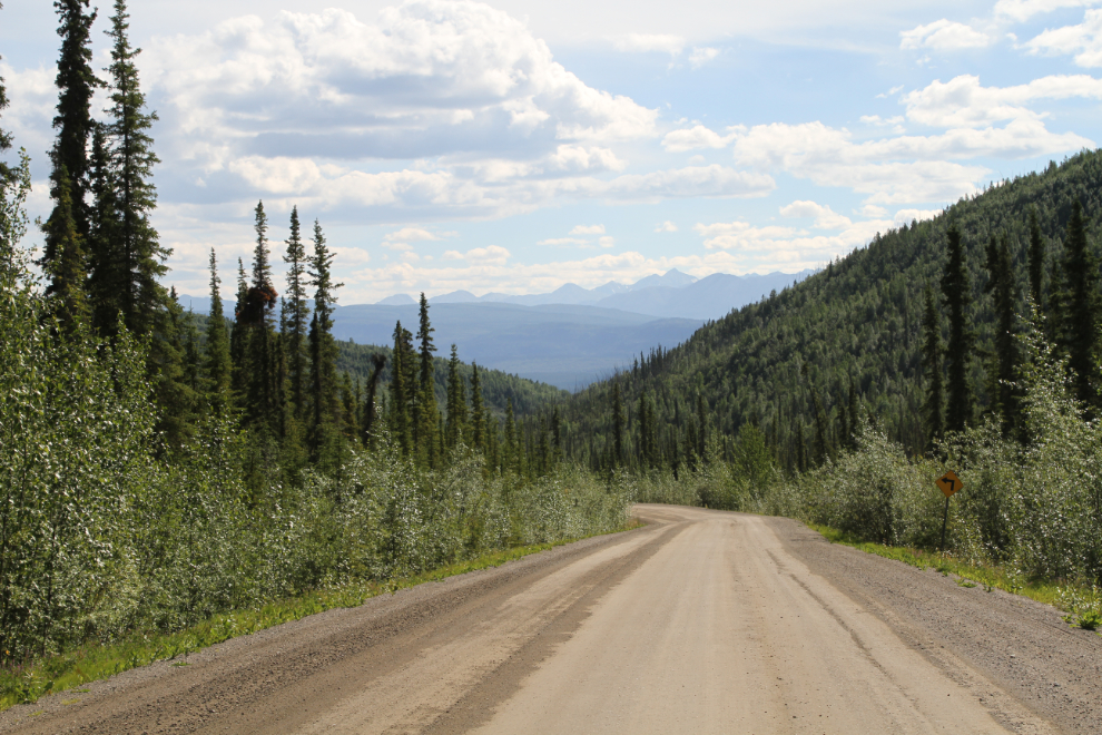
Driving back down to Faro from the mine.
We were back on the Robert Campbell Highway westbound just before 4:30. By then I had pretty much decided that we would spend the night at the next attractive place we came to. That turned out to be the Drury Creek Campground, about 64 km from Faro. I’ll tell you about that campground in the next post.