Biking the Trans Canada Trail south of Whitehorse
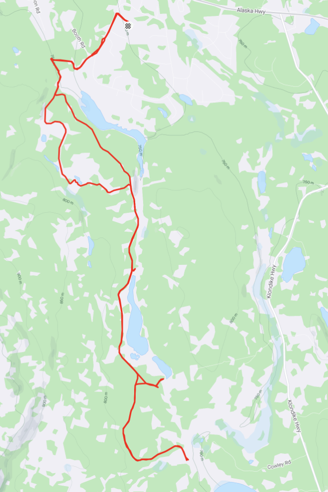
This is the final post (for a long while at least) about biking in the area behind my home. I really want to show you this ride, though, because this section of the Trans Canada Trail is usually wet, muddy, and disappointing, but this one was dry and superb. I put on 29 km in 3 hours and 20 minutes – you can see more details on my Strava page, or on Trailforks for even more detail.
Although I had a lofty goal to ride early every morning, I burnt out very quickly. I didn’t get it together until 10:15 this morning, more than 3 hours later than I had been getting out.
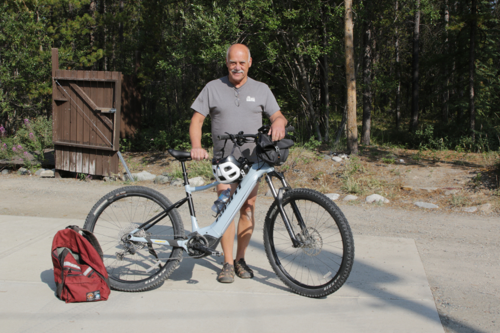
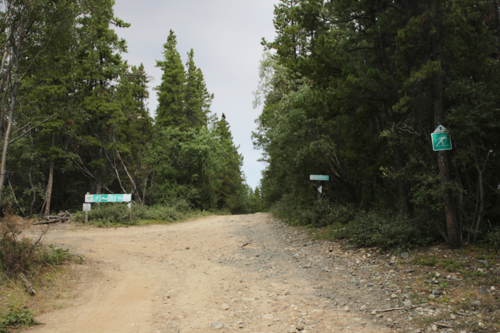
By 10:30 I was headed up the road built to allow construction of the Canol pipeline during World War II. Using the start of the road into the Copper Belt, off Booth Road which leads to the cadet camp, as km 0, the Canol road starts at km 1.38.
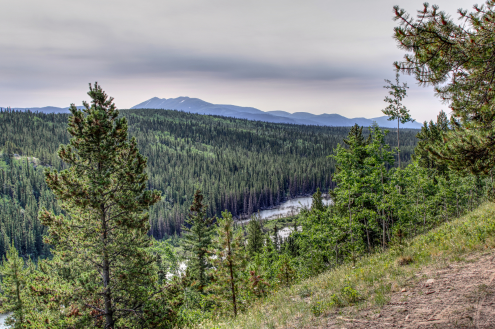
The ride on the Canol road is all in the forest, but there’s a nice view over the valley just before the Trans Canada Trail is joined, at km 4.71.
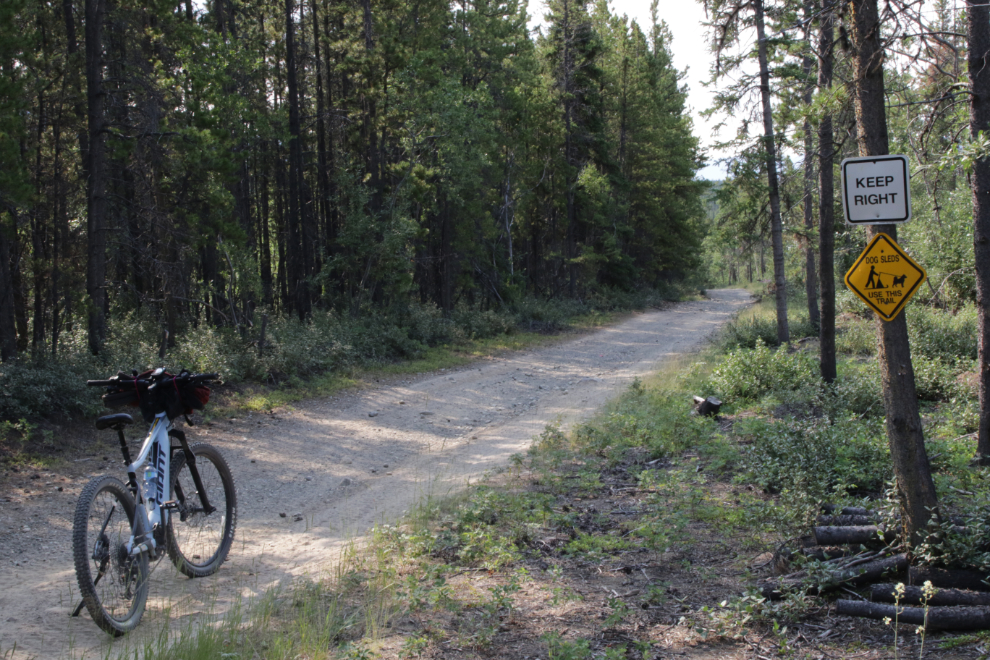
I kept to the right as much as possible once on the Trans Canada Trail (which Trailforks uses the historically correct name Pipeline Road for). Although meeting a sled dog team seemed unlikely, it’s a strange world now and you can’t be too careful 🙂
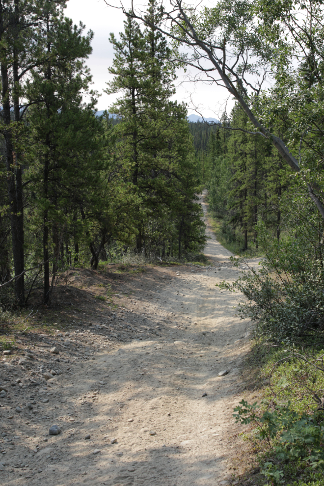
This section drops down quite steeply.
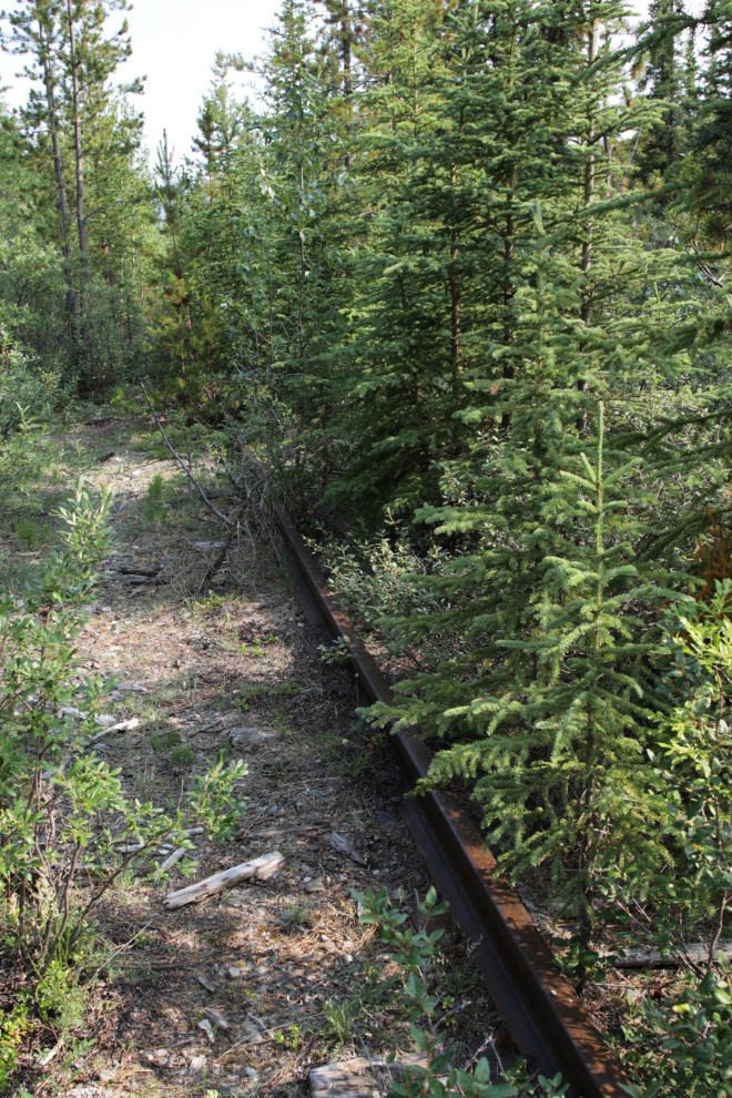
A short side trail just before reaching Murray Lake took me down to the White Pass & Yukon Route railway.
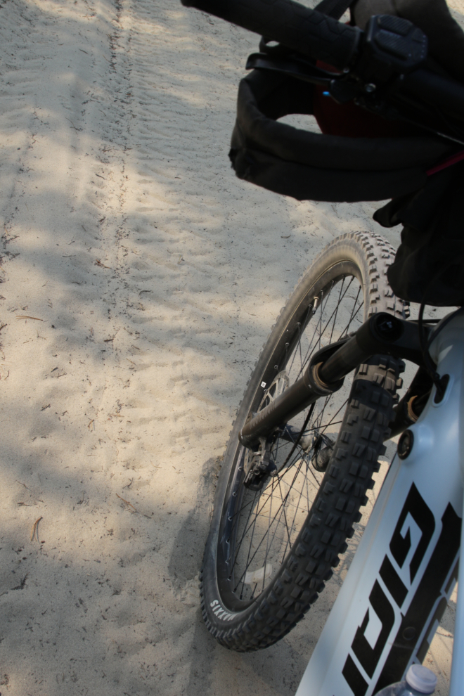
There’s a section of soft, deep sand at km 5.71, which it would be nice to have a fat bike for 🙂
There are lots of side trails, few shown on Trailforks.
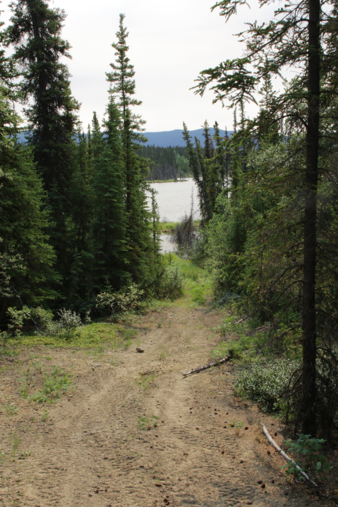
A nice view of Murray Lake was reached at km 6.83, at 11:05.
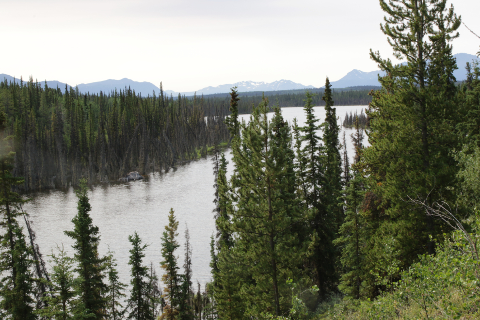
A trail goes down to Murray Lake, but the lake is mostly friendly to beaver and moose.
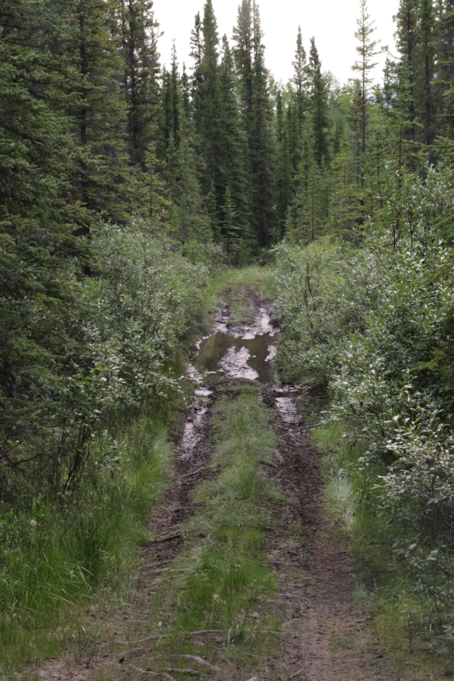
At 11:15 I reached one of the places that always has me wondering why I came down here again, but it was dry! Very recently dried, by the look of it 🙂
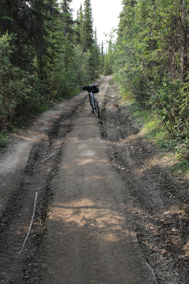
Although the tires got wet here at km 8.17, this often deep and ugly crossing was shallow and solid.
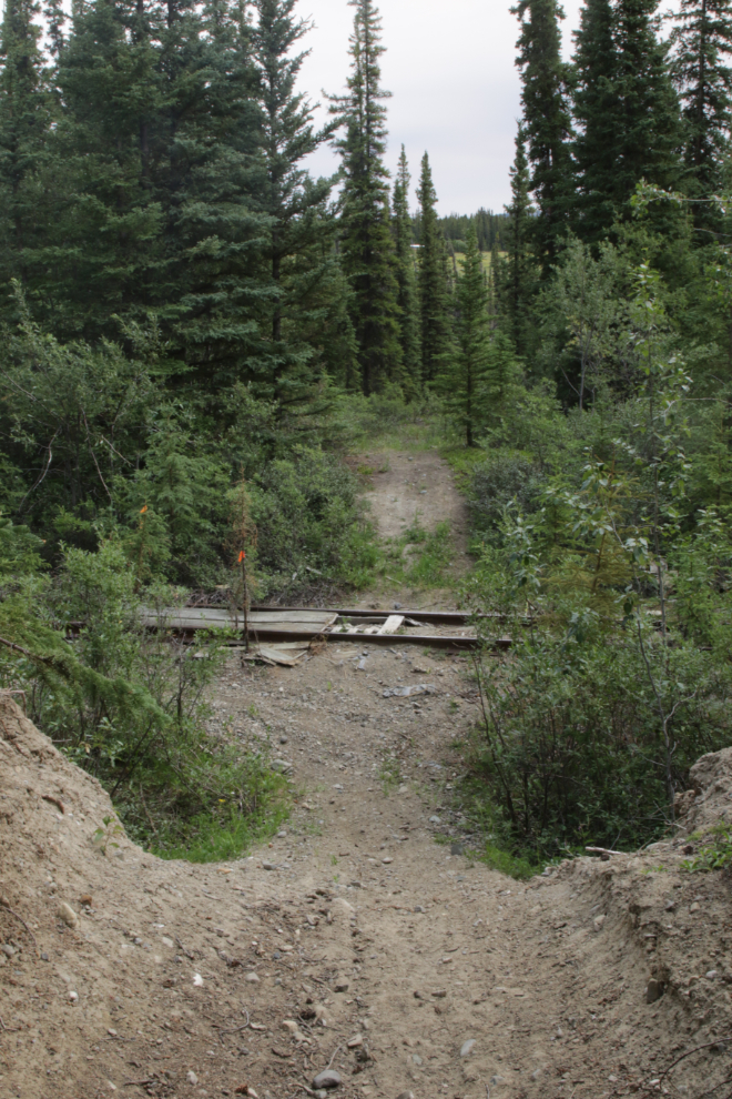
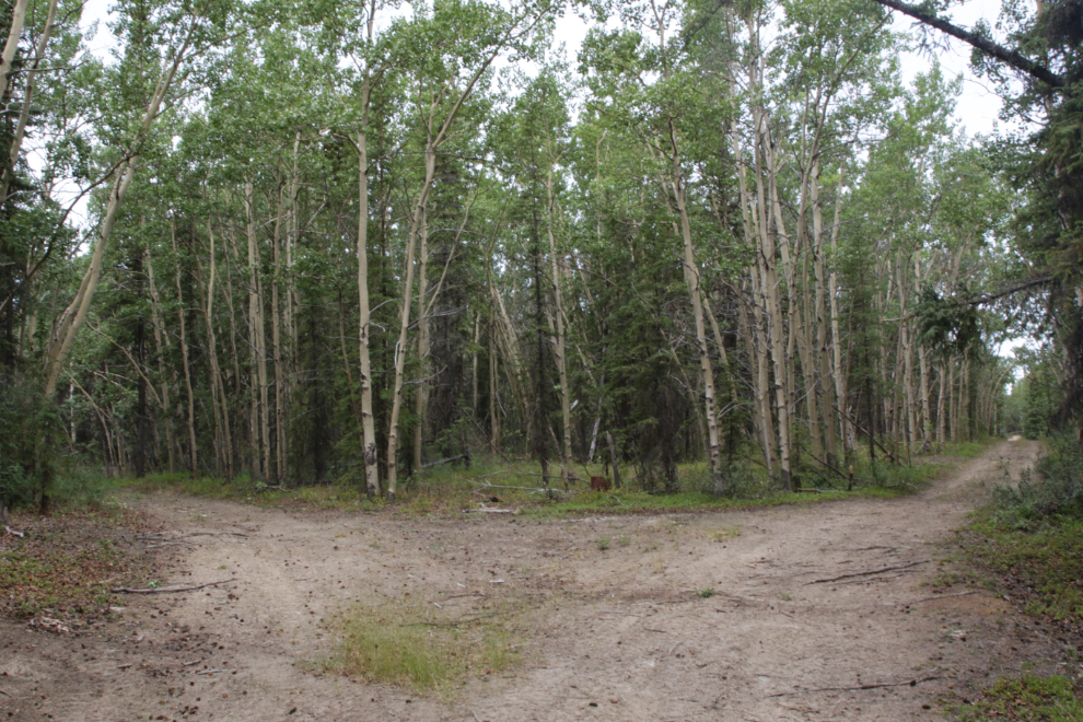
At km 8.90, I followed the Pipeline Road to the left, while the much more well-used Trans Canada Trail was to the right.
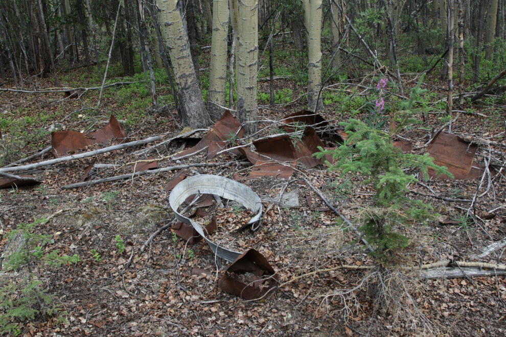
There was another junction 260 meters ahead – this was the location of a camp during the Canol pipeline construction period 80 years ago.
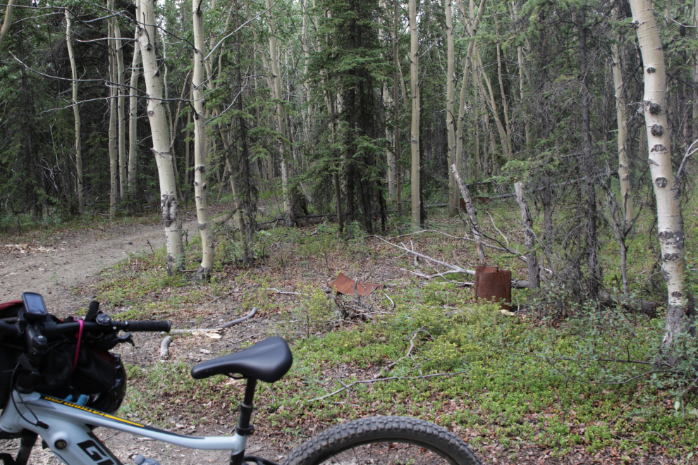
There’s nothing large left at the camp site, but lots of tin and steel kitchen and industrial artifacts as well as areas where buildings had existed.
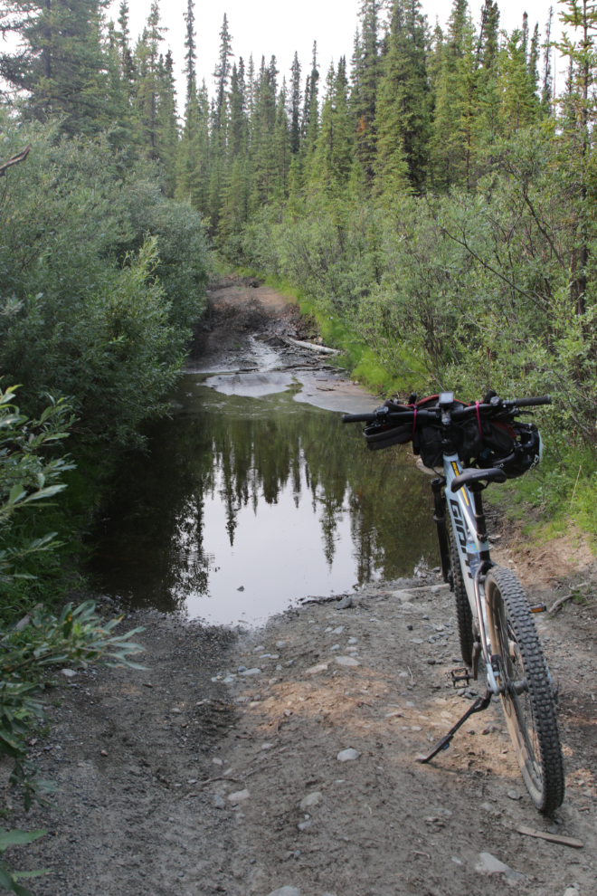
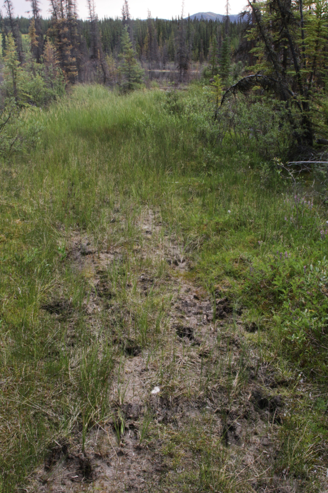
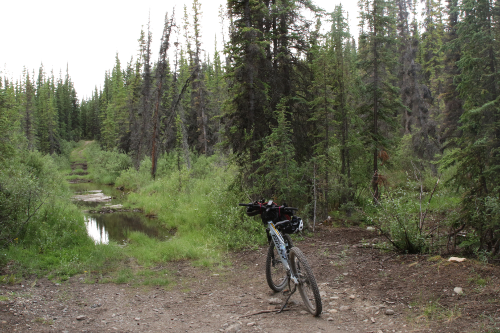
At km 9.44 there was water and mud ahead and I was fairly certain there was much more of it ahead. I went back to a side trail to the northeast.
That trail led to a crossing of the WP&YR tracks…
…and then to aptly-named Swamp Lake, where fresh tracks of 2 or 3 moose were visible.
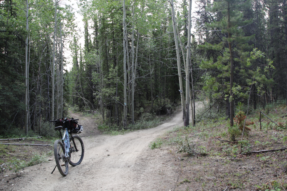
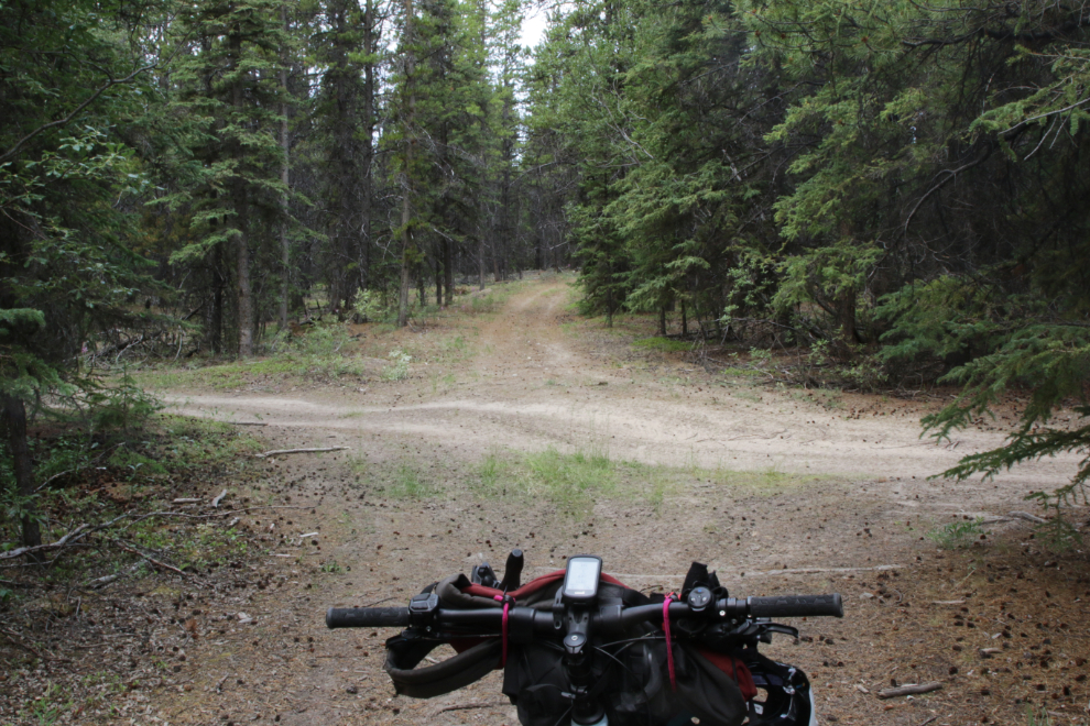
Back at the Canol camp site, now km 10.11, I went to the left to intersect the Trans Canada Trail (called the Annie Lake section on Trailforks).
There is so much exploring to do back here! 🙂 (I went to the left, which was obviously the Trans Canada Trail)
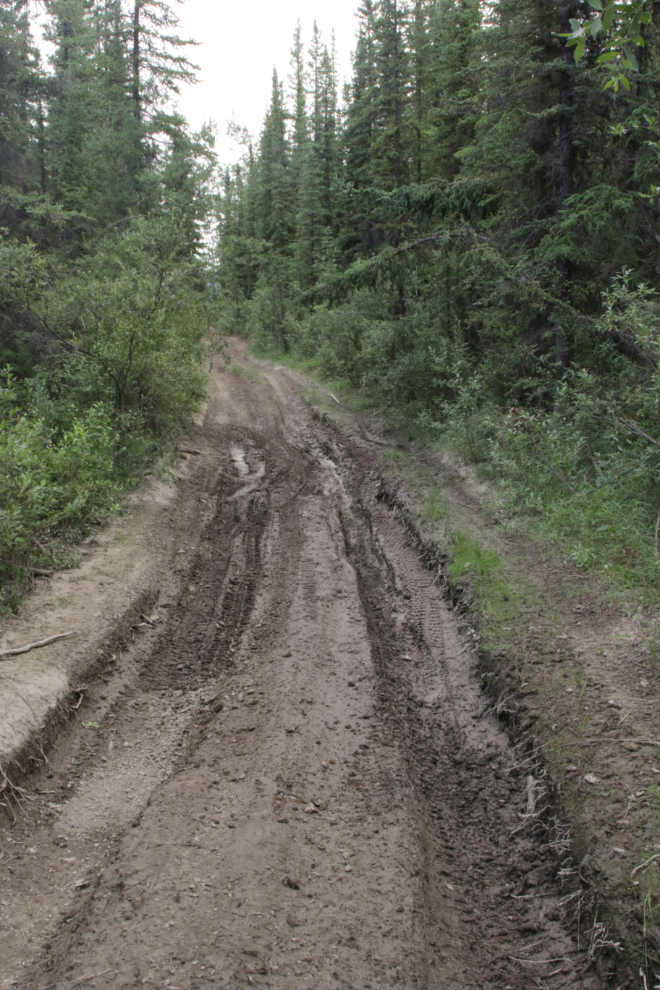
More mud just the way I like it when I’m riding – dried up.
Visually, this is probably the most historically signifiant site on the route, but I don’t think I’ve found anything about it yet. It was just above the trail at km 13.27.
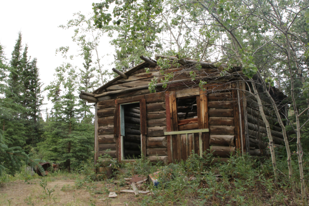
I don’t know yet where the trail that climbs up to the west from the cabin goes.
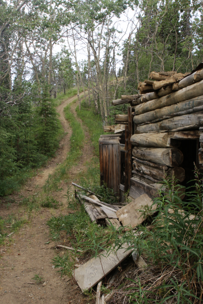
Just past the cabin, the trail ended for me. This is Dugdale Creek – a detour to the left was also deeply flooded, and although I’ve gotten around this on a rough-cut ATV trail to the right on at least one previous ride, I was pretty much timed-out mentally anyway, so turned around.
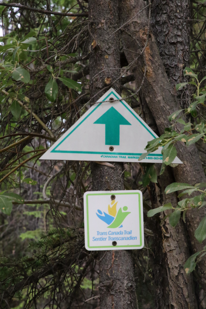
I took few photos from there on as I headed home with a wide detour. The trail markers were worth recording.
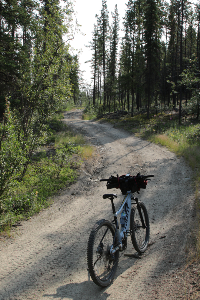
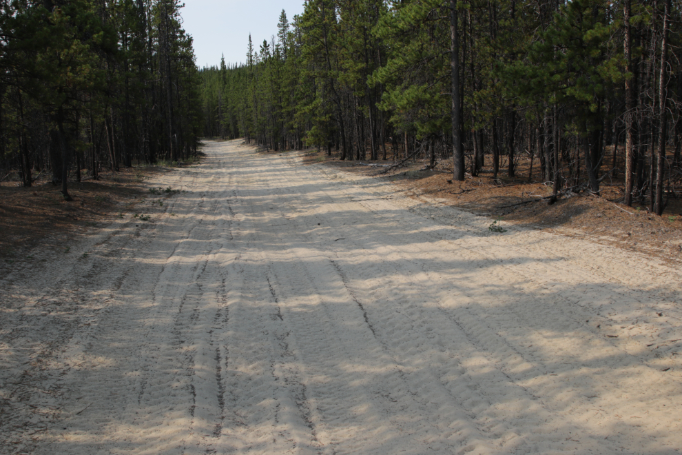
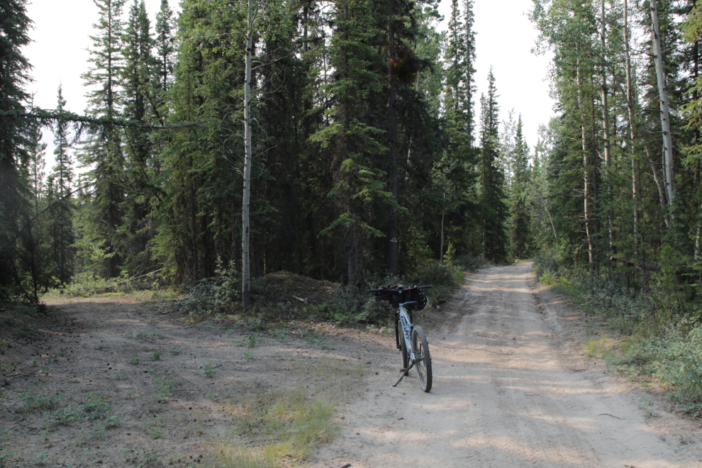
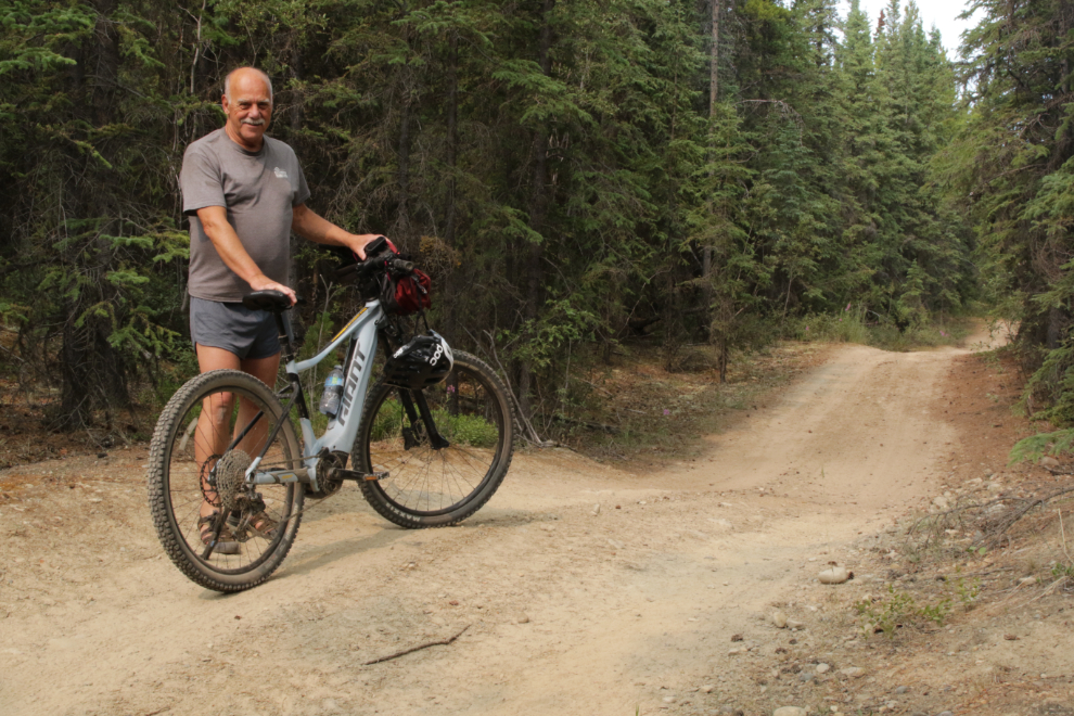
The next photo is a good example of just how nice much of this ride was.
The Pipeline Road continues straight ahead, but I followed the Trans Canada Trail to the left, into the main copper mining and firebreak area.
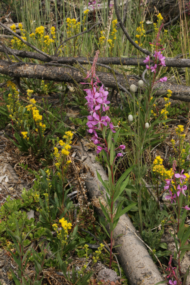
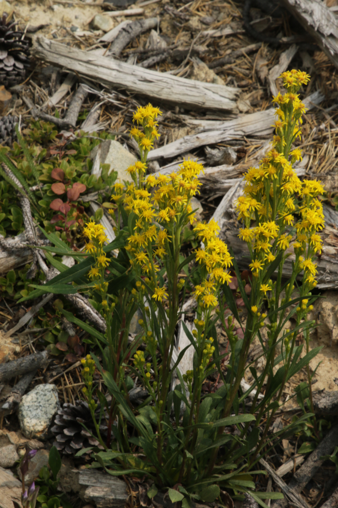
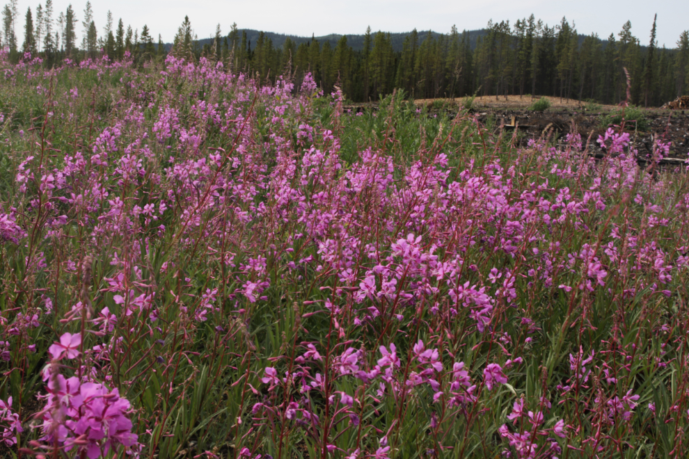
There were some wonderful wildflower areas – the most dramatic were the fireweed, but many others as well.
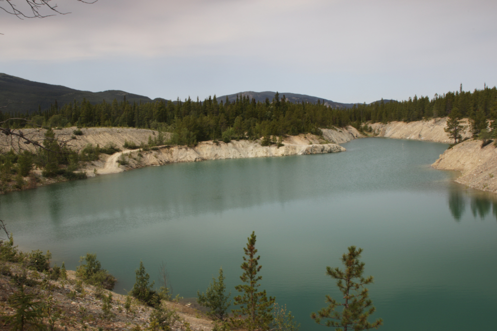
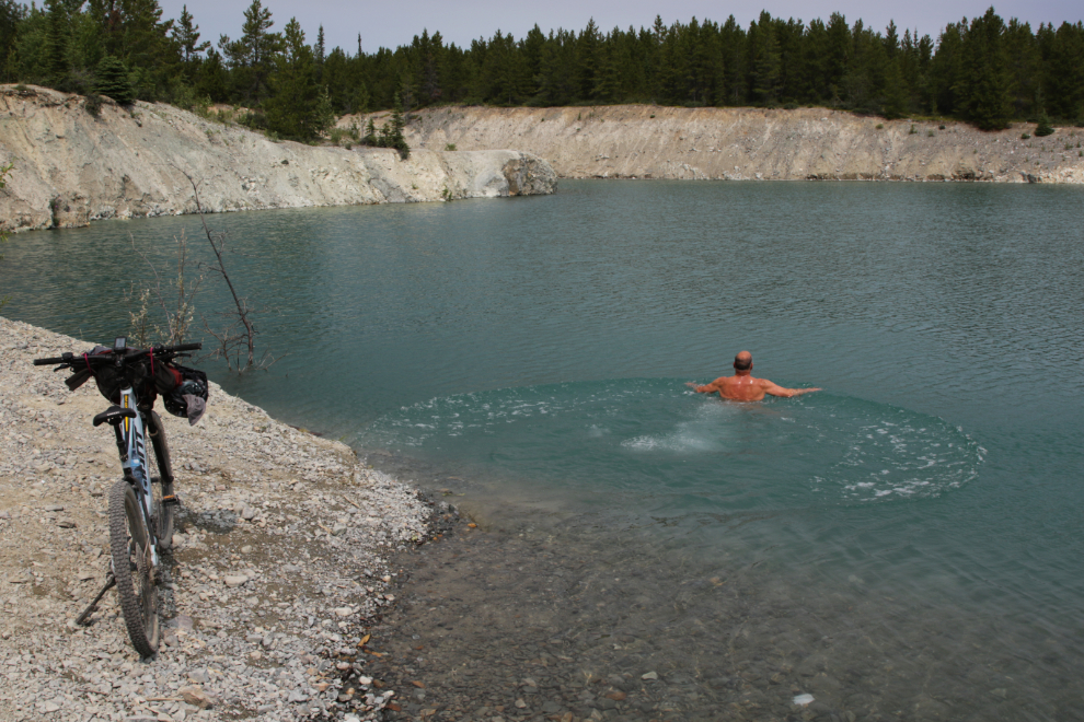
The Black Cub South copper mining pit, abandoned in 1971, is a popular swimming hole when it gets hot.
Across the road from the swimmin’ hole is a particularly nice field of fireweed.
I’ve gotten to really enjoy this as away to end a ride 🙂
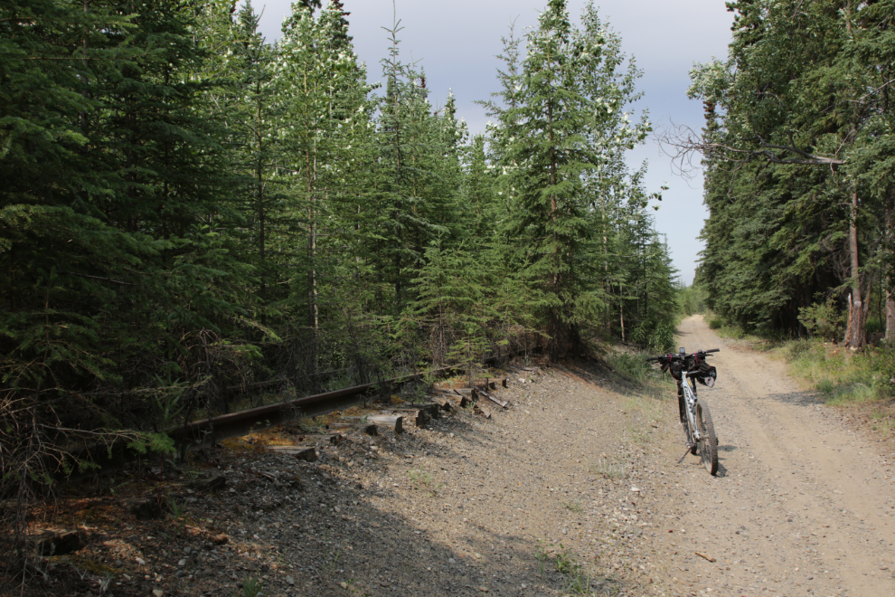
Back along the railway as I neared home.
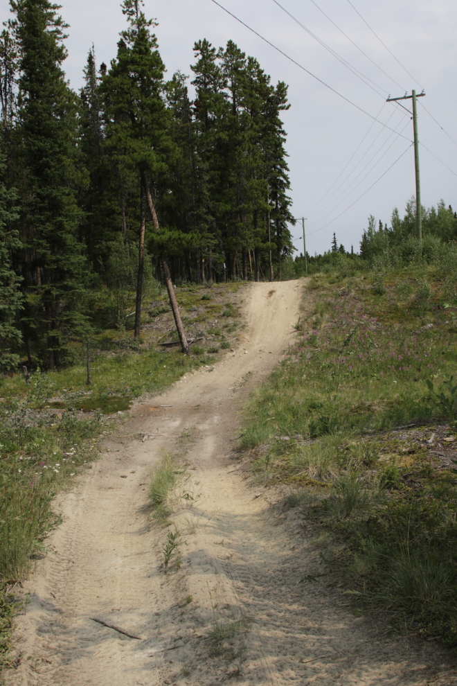
This may have been the first time I rode on the ATV trail along Fireweed Drive rather than on the road. On the road there’s a little hill that I can get up to over 50 km/h on, which I like, so I’ll probably keep using that few hundred meters of pavement, though.
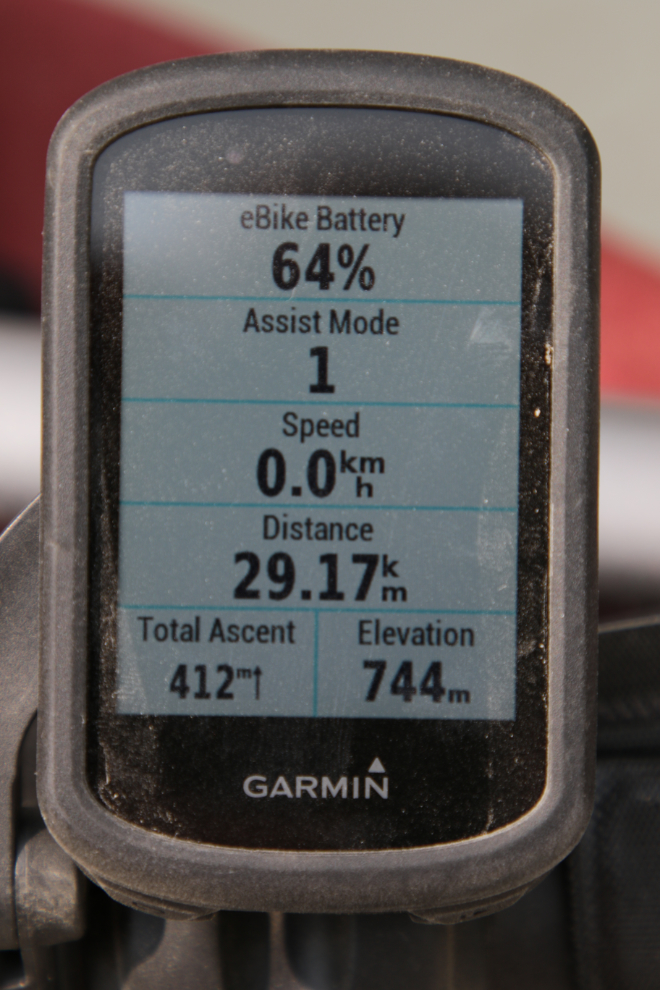
The End, as seen on my bike’s computer. It was an excellent ride – the best I’ve done on that part of the Trans Canada Trail.
lots of great riding there and lots of side trail opportunities too. When I first read this two weeks ago, I was in more of a hurry, now I enjoyed the photos more, and marveled at all the trails, smooth, wide, flat, and others more suited to an atv, side by side, dirt bike or mtn bike. You never mentioned seeing any other trail users this trip. I know that area seems to be crawling in off highway back roads and improved trails of all sorts. Suitable “Murray’ finale to the ride, that water must have been wonderful.
You rarely mention seeing anyone else biking, running, dog walking, dirt biking, ATV/side by sides or 4 wheeling by truck or jeep any of these long poking around trips… from the looks of it there must be a fair amount of traffic at different times of the summer…and more during hunting and snowmachine season and some skiing too. To have all that out your back door… crazy number of opportunties for all sorts of recreation!
(and certainly one day you’ll see a dog sled team summer training)
Amazing!! Thanks for sharing <3