A 53-km ride along the Whitehorse Copper Belt
Back in the Whitehorse Copper Belt again. As July 8th began, I posted this on Facebook: “At 04:50 (6 minutes after sunrise) Environment Canada says it’s 19C in town, but my weather station says it’s 9C here – stepping outside, I know that 9 is the correct number. I have the e-bike ready to go for a long ride in the neighbourhood backcountry (30+ km, I hope) in about an hour, before it gets too warm.” Well, it turned into a very long ride, 53 km from one end of the Copper Belt to the other and back again. More details can be seen on my Strava page.
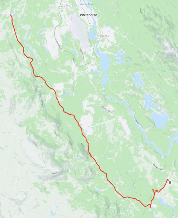
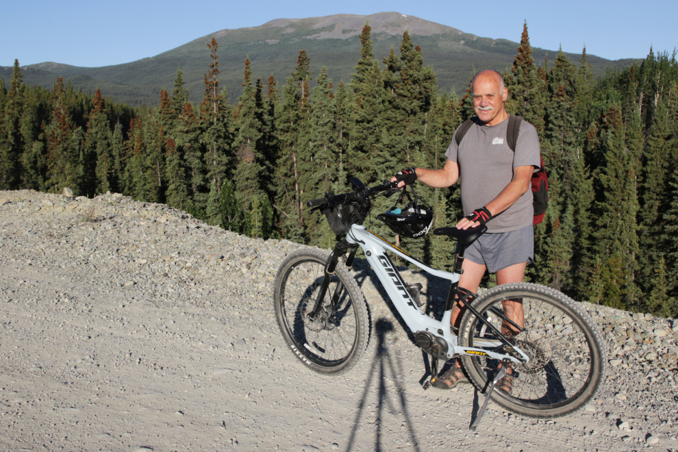
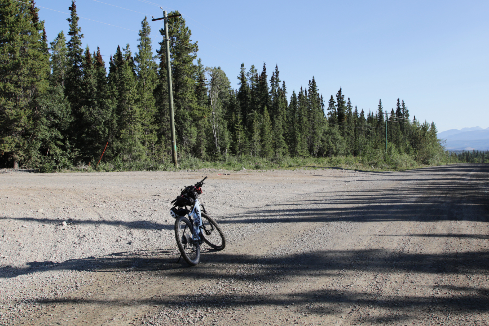
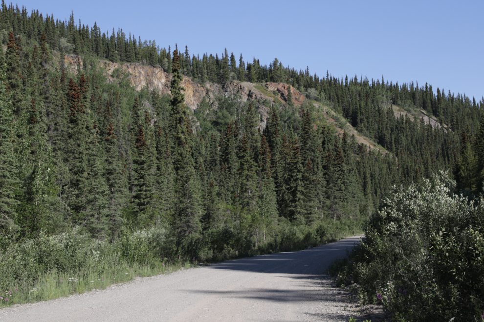
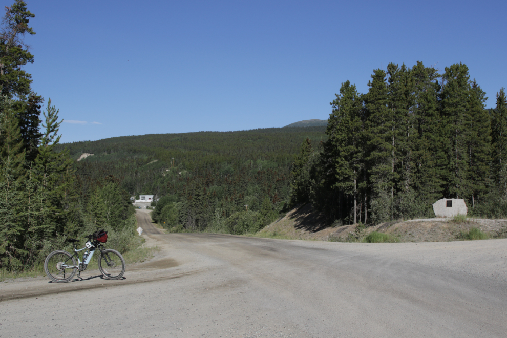
I was on the road just after 06:45 (sunrise was at 04:44) and was soon at the road that leads into the Copper Belt, off Booth Road, which goes to the cadet camp – the camp is to the right in the photo. I logged a lot of details on this ride, including the mileages most photos were shot at, using this location as Km 0.
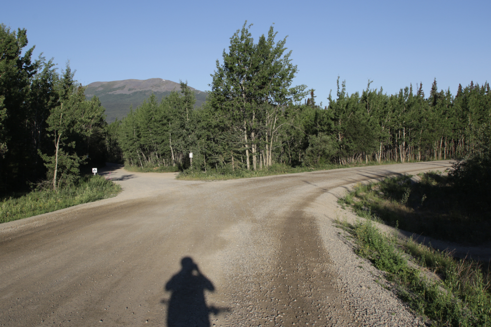
I reached the junction with the WWII Canol pipeline road, at km 1.38, at 07:00, but continued straight ahead.
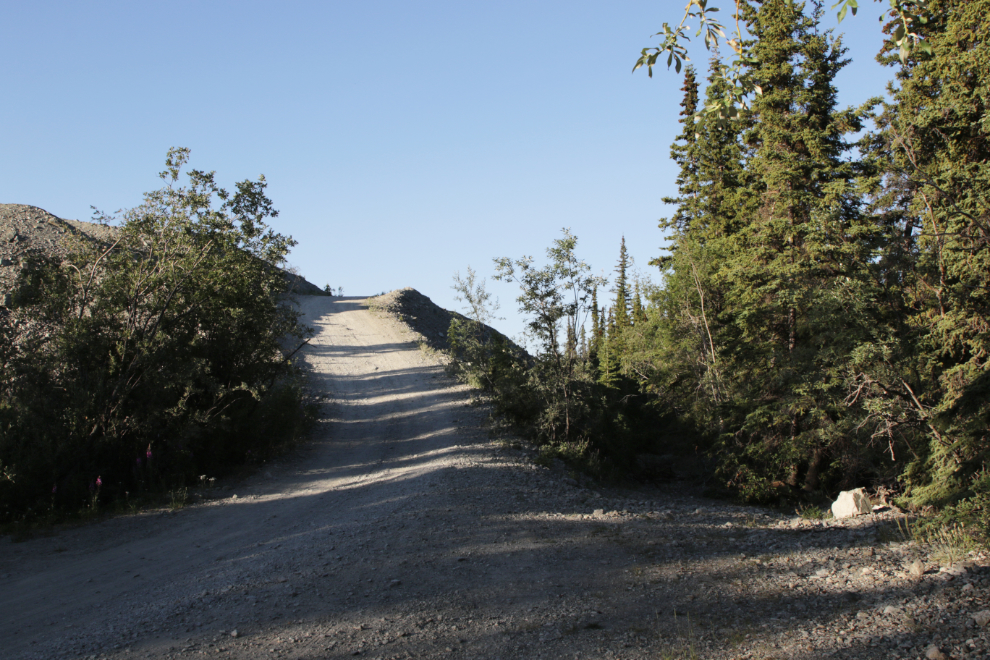
This steep hill at km 1.71 stops some cars, and one bike rider who rode with me a while back was slightly injured when she wiped out coming down it.
From the top of that hill you get a good look at the basalt columns along Wolf Creek at that point. These columns were created by the same flow from the mountain we call Golden Horn that created Miles Canyon on the Yukon River.
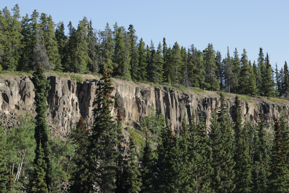
A selfie at that same spot, looking straight into the blinding sun to get the best mountain in the photo 🙂
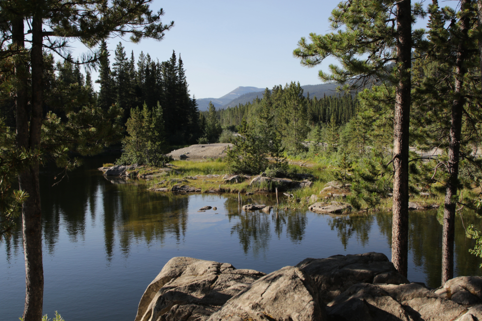
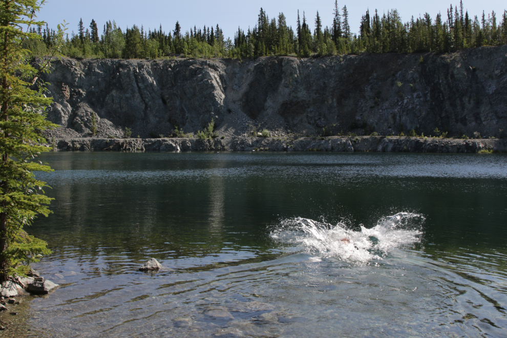
I continued past the bridge over Wolf Creek, just to log the mileages to the berm on the road to the Keewenaw swimmin’ hole, and the pool itself. The berm is at km 2.17…
…and the pool, with a perfect reflection to the left, is at km 2.26.
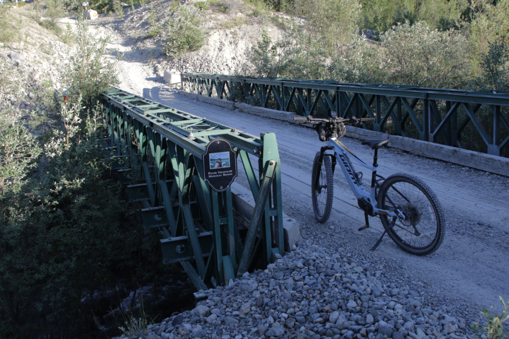
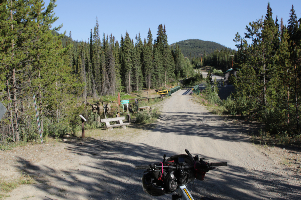
The Peter Greenlaw Memorial Bridge over Wolf Creek. Work is starting tomorrow (July 17th) to cut down the very steep approaches, to make the bridge useable by firefighting equipment. The bridge is where my route was on the Trans Canada Trail.
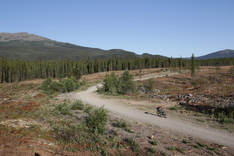
Soon after crossing the bridge, I was riding on the Copper Haul Road (and the Trans Canada Trail) through the huge firebreak being built.
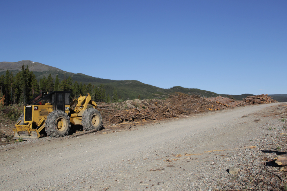
There’s a whole lot of logging equipment sitting along the road.
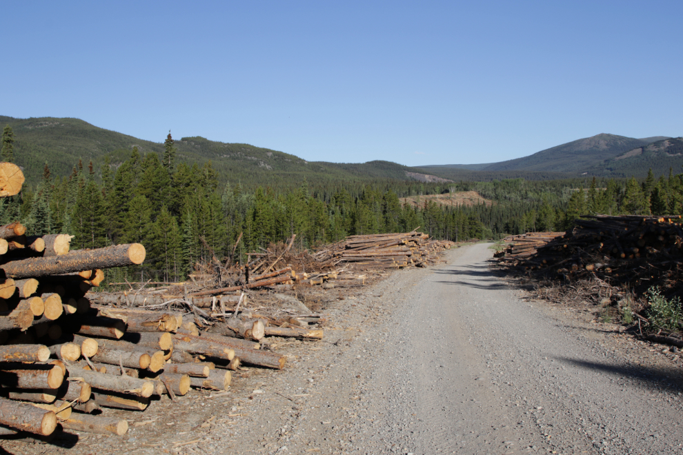
There’s a whole lot of wood stacked up. A tiny bit has been made available for public cutting for firewood, most will be processed and sold as firewood, and an appalling amount, including good firewood-sized logs, is being burned as waste.
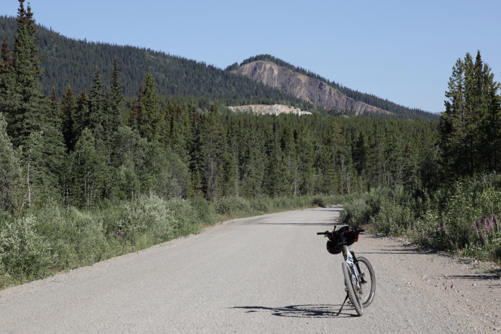
A broad view ahead from km 4.71, at 07:55. No, I was not in a hurry 🙂
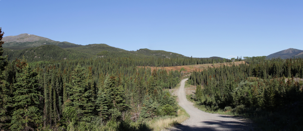
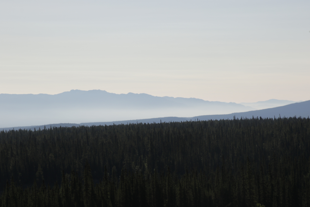
By 08:00 I was over 100 meters (330 feet) higher than my starting elevation, and could see wildfire smoke moving in from the east. We’ve been incredibly lucky so far this year.
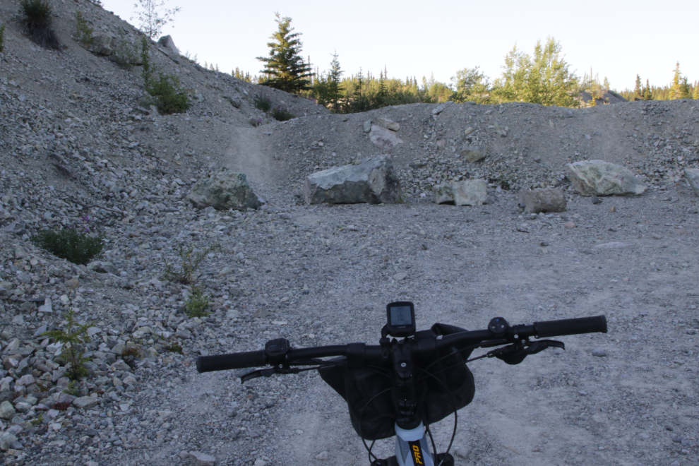
At km 6.66 I reached the Wolf Creek ATV trail. I’ve ridden the bottom section but not this part – that would be for another ride in the near future.
The Rodney A. Cox Memorial Bridge is just ahead. I took a bit of a break on a comfy bench here.
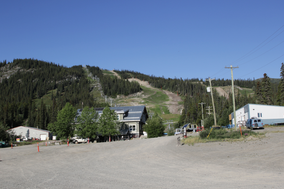
I reached the Mount Sima ski hill, km 8.97, at 08:20. I had this in my mind as a possible turnaround point when I started, but no, I was still rarin’ to go 🙂
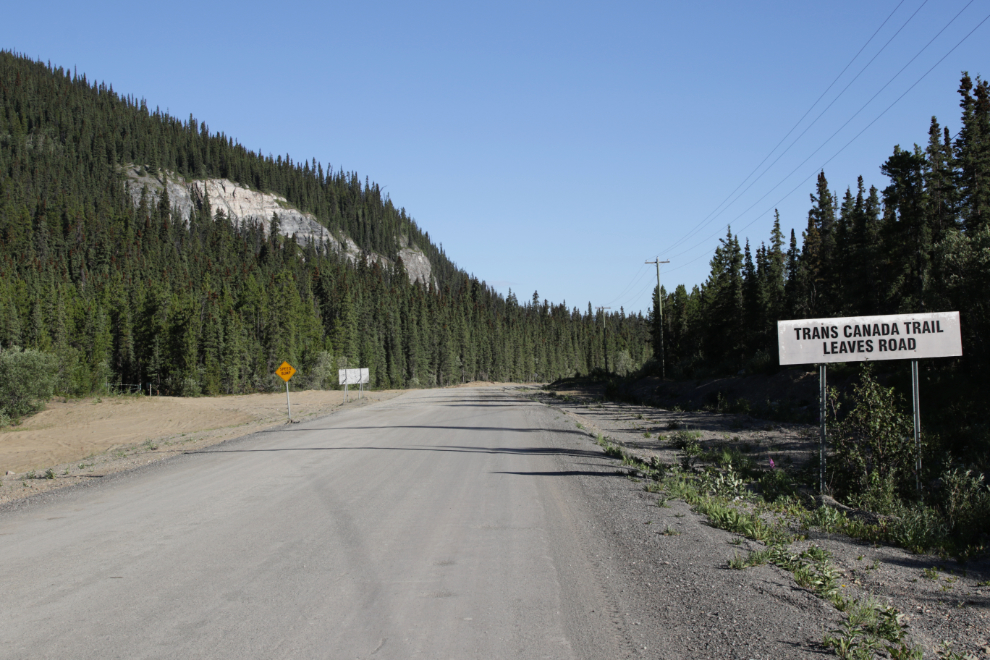
The Trans Canada Trail leaves the Mt. Sima Road just past the mountain, and I decided to follow it instead of the road, which isn’t very pleasant riding.
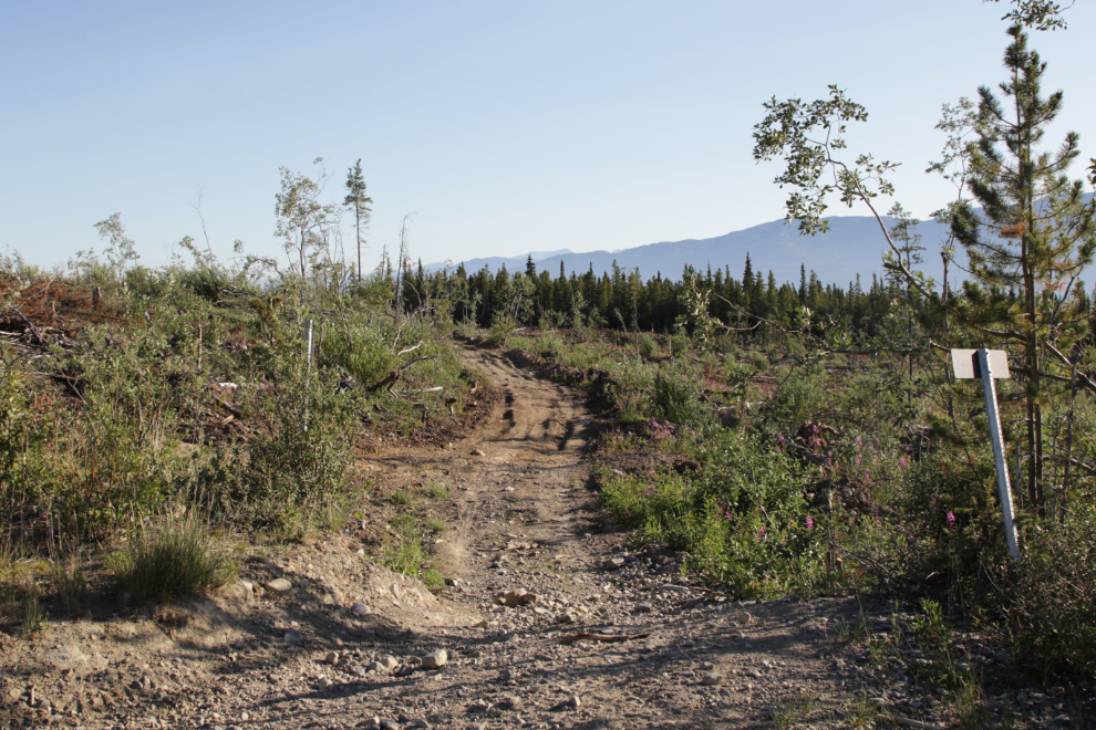
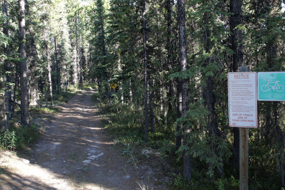
The Trans Canada Trail starts off very nice…
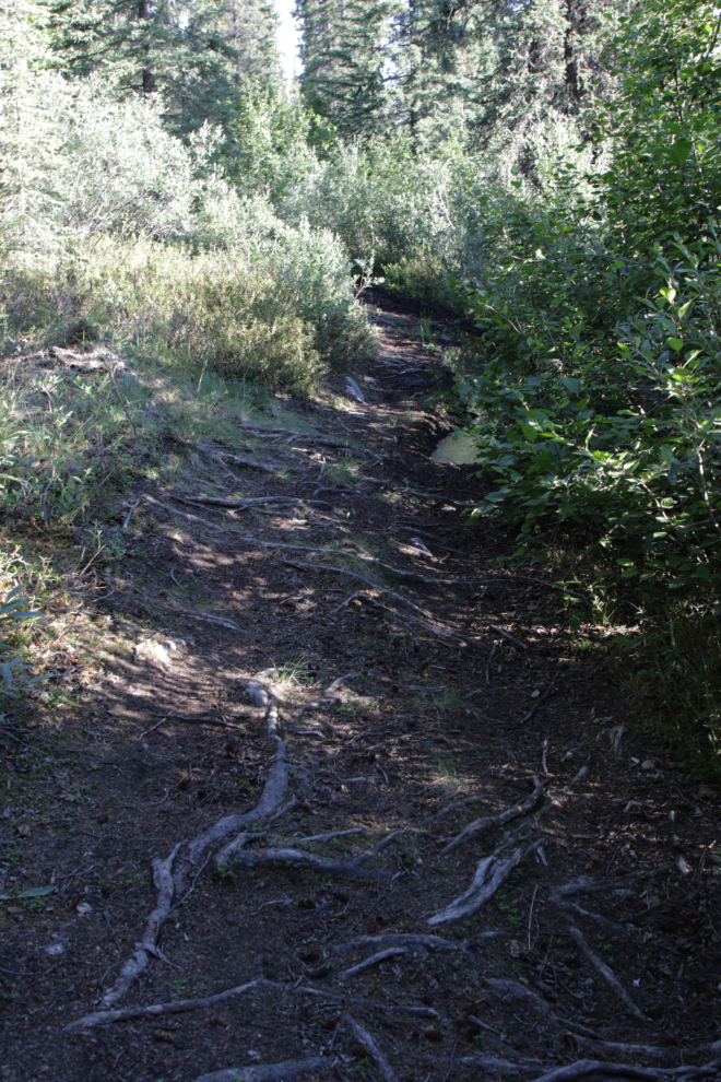
…but quickly turns to shit if you’re on a bike. I took a side trail back to the road – the side trail is well used, so apparently many people make that change.
At 08:34, km 11.29, the Copper Haul Road and Trans Canada Trail thankfully went to the left from the Mt. Sima Road.
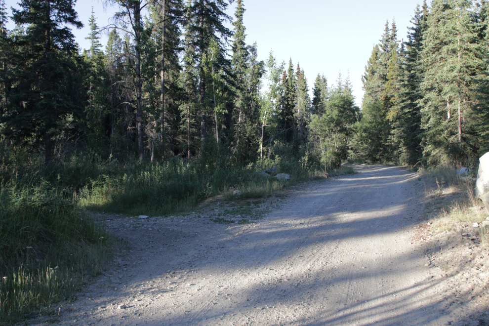
Just a particularly nice section of the road, which had pretty much no traffic.
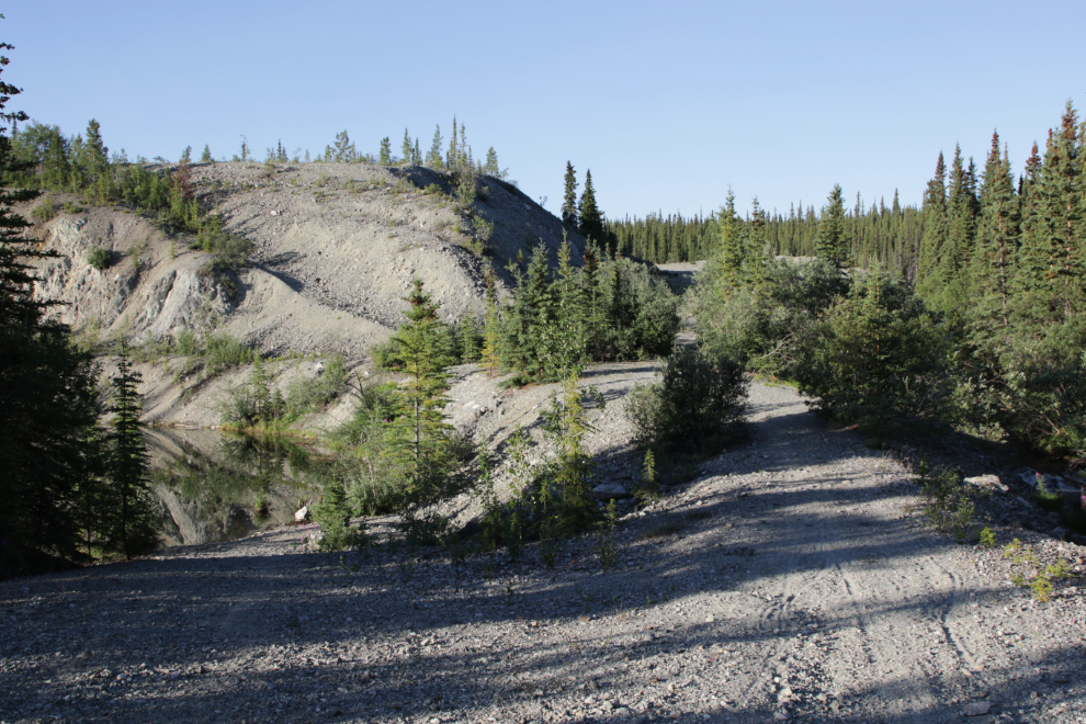
This lovely little lake was named Carr Glynn after one of the directors of the railway whose spur line ran along it in 1910 – there was also a small station and a water tower for the steam locomotives.
At km 16.29 (at 09:05), the sign to the left points to Fish Lake, but that road is more commonly the access to Mount McIntyre (“Mount Mac”), a road I’ve driven countless times.
Just another nice section of road at km 18.62.
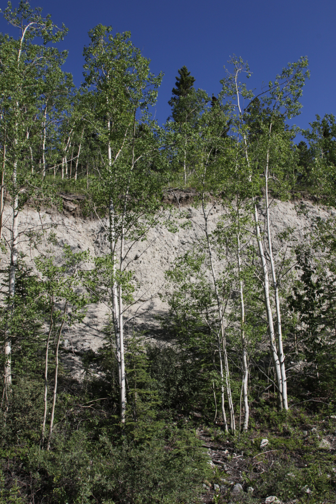
This cut through thick layers of glacial till (or possibly post-glacial sediment) is unique along the Copper Haul Road.
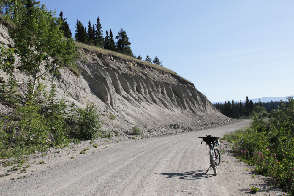
At the same location, poplar trees added a nice contrast and made my photo stop a bit longer.
A series of beaver dams at km 23.60 have caused problems with the road, which has now had about a foot aded to its height.
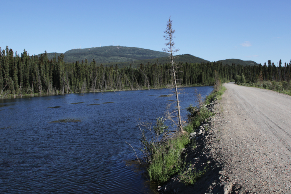
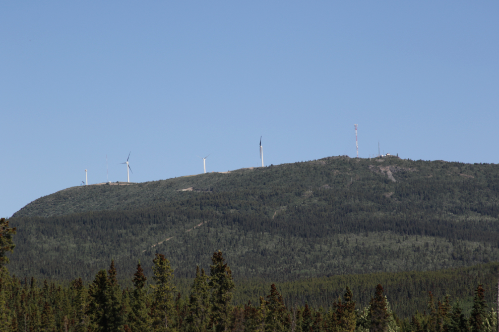
From that spot, the 4 wind turbines being built on Haeckel Hill can be seen. The new turbines willpower the equivalent of 650 homes for the next 20 years – see the Haeckel Hill Wind Project page for more information.
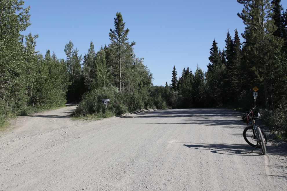
The End – time to turn back. At 09:30 I reached the Fish Lake Road, at km 24.57. I was very pleased by the way this morning had played out.
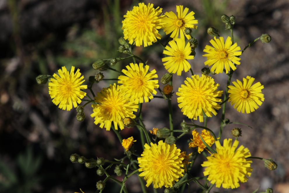
I only shot 6 photos on the way home, including these flowers. Once again, there were lots of butterflies and dragonflies, but no flies or mosquitoes.
Nearing home, I made the detour over to the Keewenaw swimmin’ hole again – this is such a wonderful way to end a ride! As a bonus, this was International Skinny Dip Day!! (yes, really) The temperature when I got home just before noon was 28°C/82°F.
That was such fun that I decided to see if I could do a more reasonable distance (25 km or so) every morning.
This is post #1,536 since I started The ExploreNorth Blog on April 25, 2006.
What a great little ride… decent roads, some great views, more challenging mucky trails if you had the interest and energy… and certainly some side trails for another day to explore. And a ‘bare butt’ moment too, for a finale! Is this an especially dry summer for the area?