Beach play and off-trail exploring at Summit Creek in the White Pass
On Monday, September 1st, we took the motorhome to the White Pass, and this is the second post from that trip.
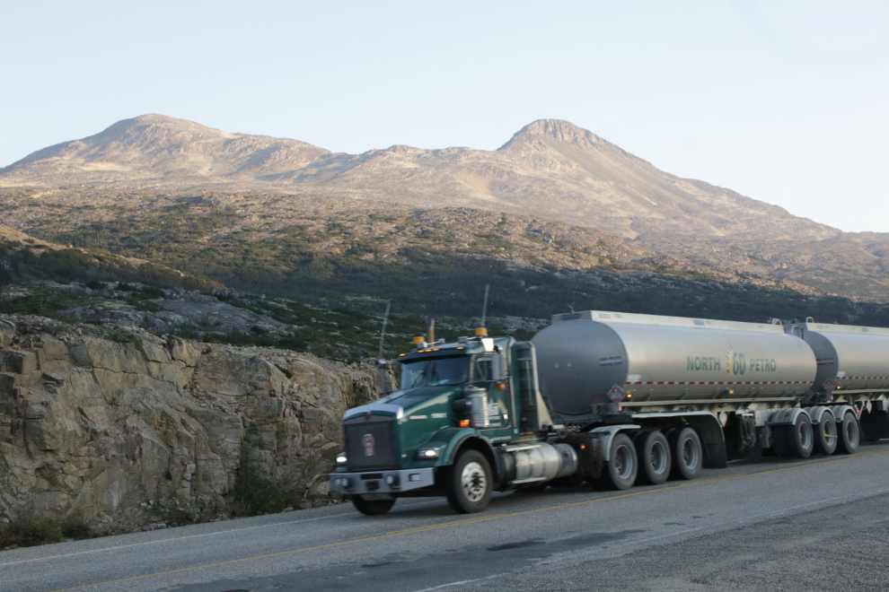
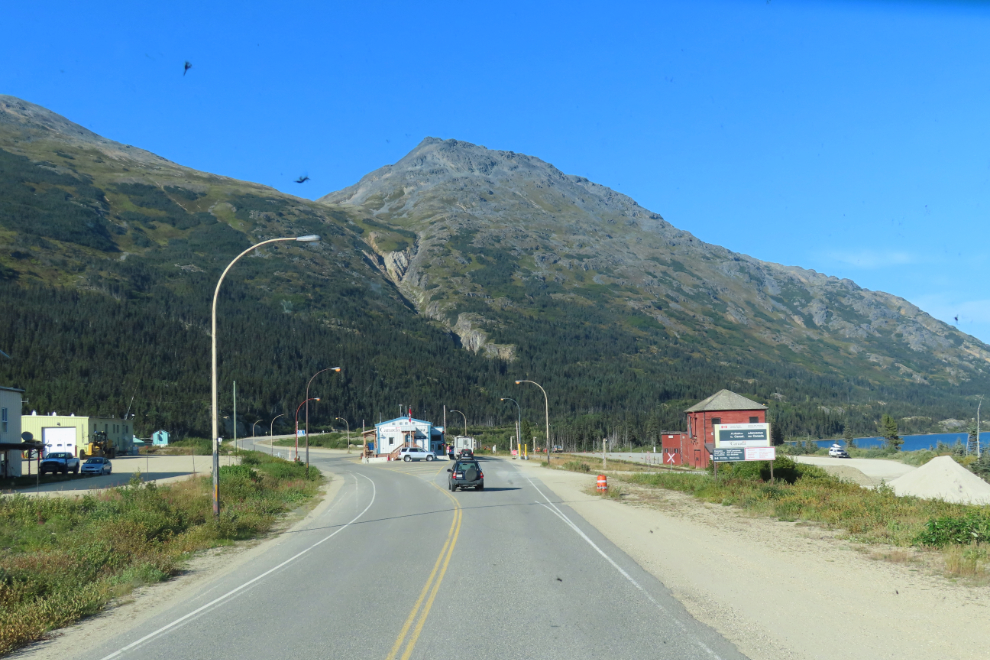
My day started early as usual, but this time I was on the road, to get some photos at the Canada-USA border while the highway was still closed (it’s closed from midnight until 08:00 officially, but southbound traffic gets to continue past the Fraser Customs post at about 07:30). Although I really miss my regular visits to Skagway, Alaska, for the foreseeable future that’s as close to the USA as I’ll be getting 🙁
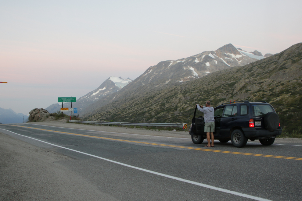
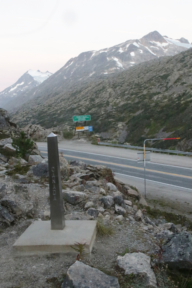
The orange barrel on the far side of the highway is new since I was there last. Given what’s going on, I stayed far away from it. You may think I’m paranoid, I think I’m cautious.
By 07:00 I had Bella and Tucker out for their first walk, while they could still be leash-free. There wasn’t a cloud in the sky, and there was just a slight breeze from the north – very different than Tuesday had been, so we’d be staying for the day.
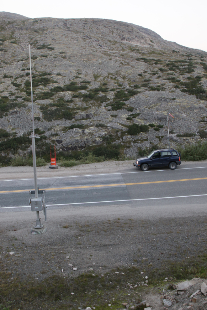
At 07:50 the traffic began, but it was much lighter than Tuesday had been – another win.
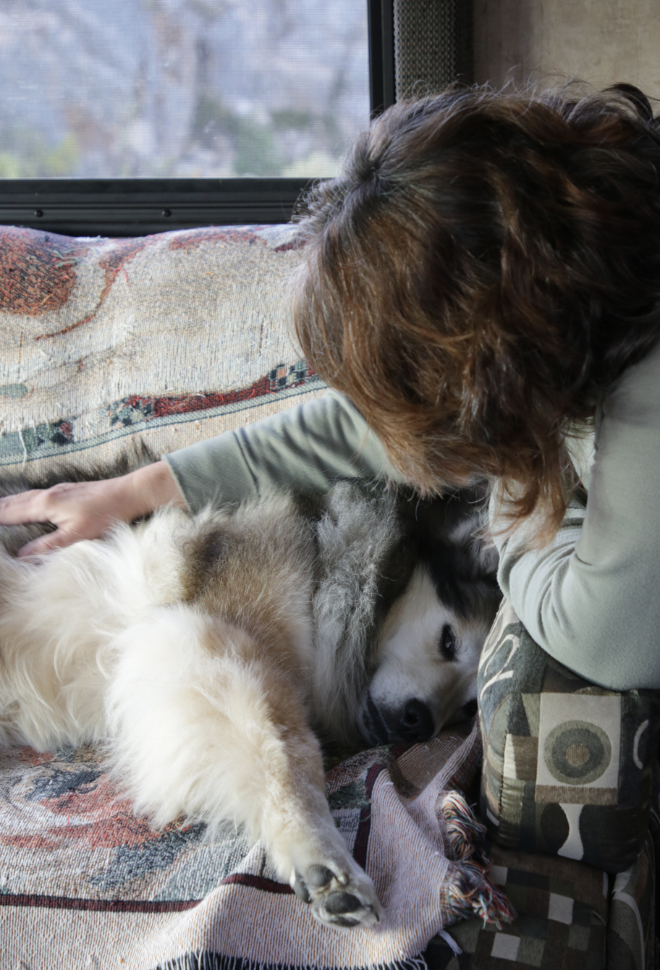
Love for Bella to start the day off well 🙂
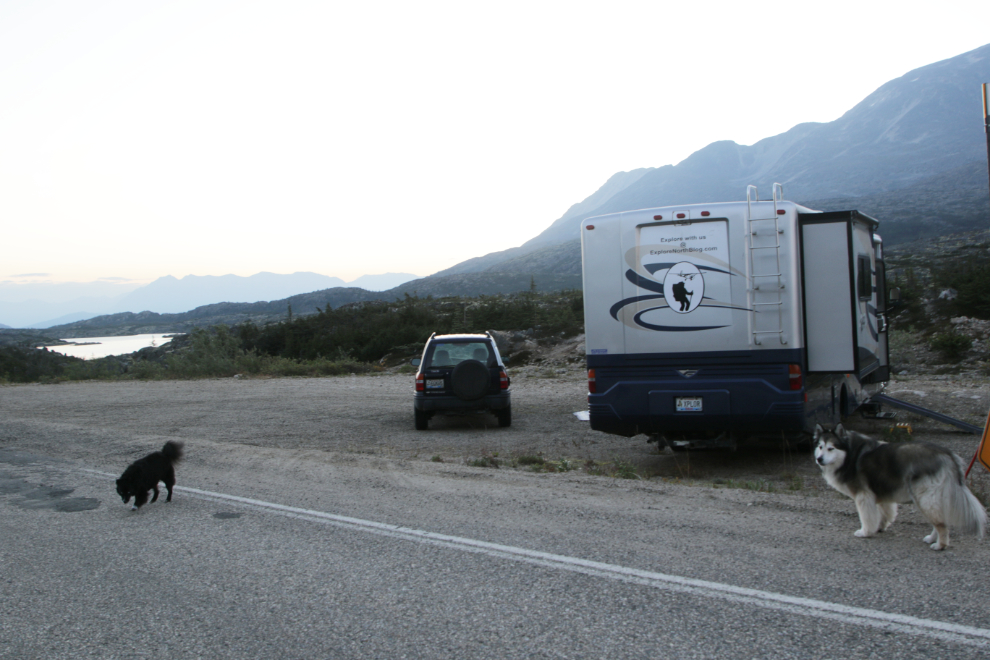
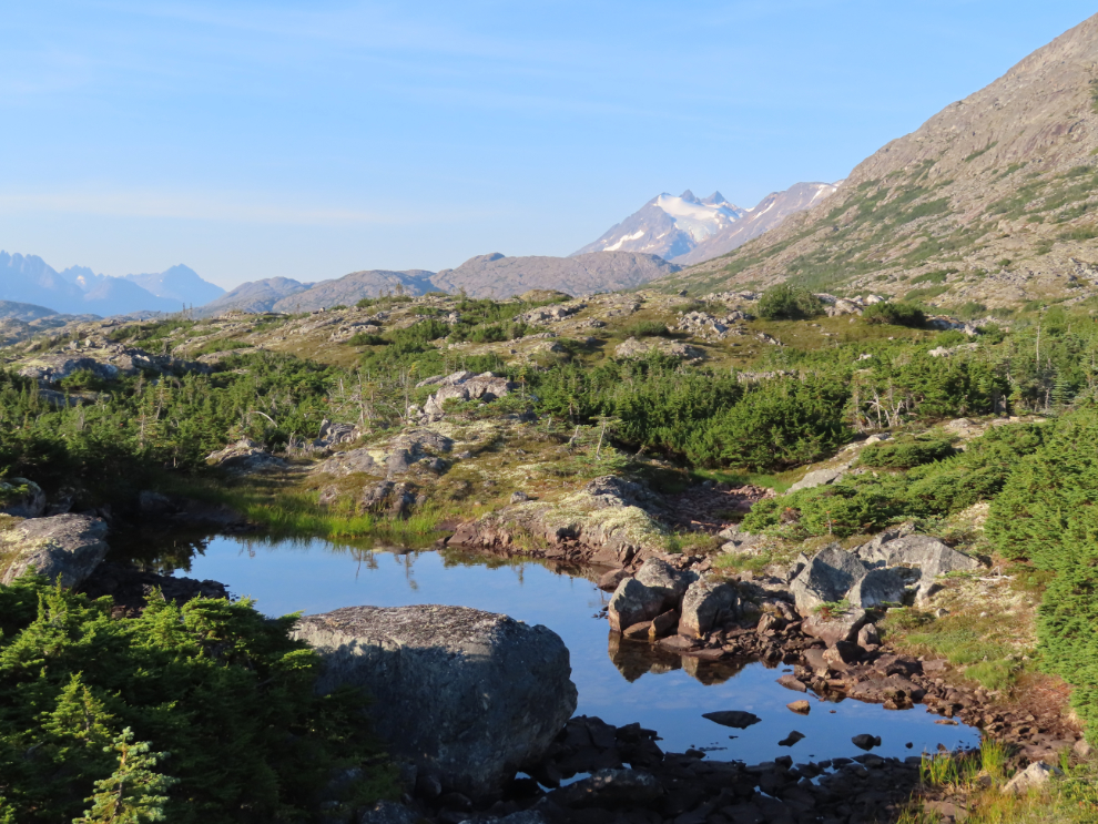
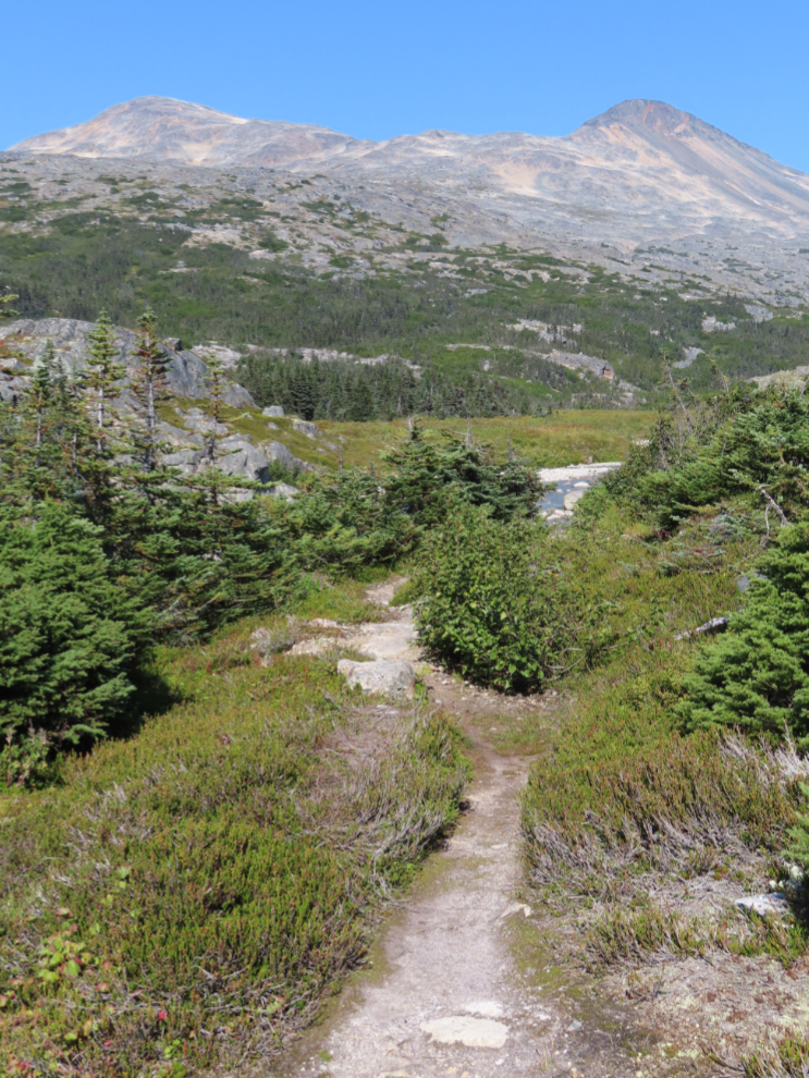
There is nice walking right from the pullout where we park the motorhome.
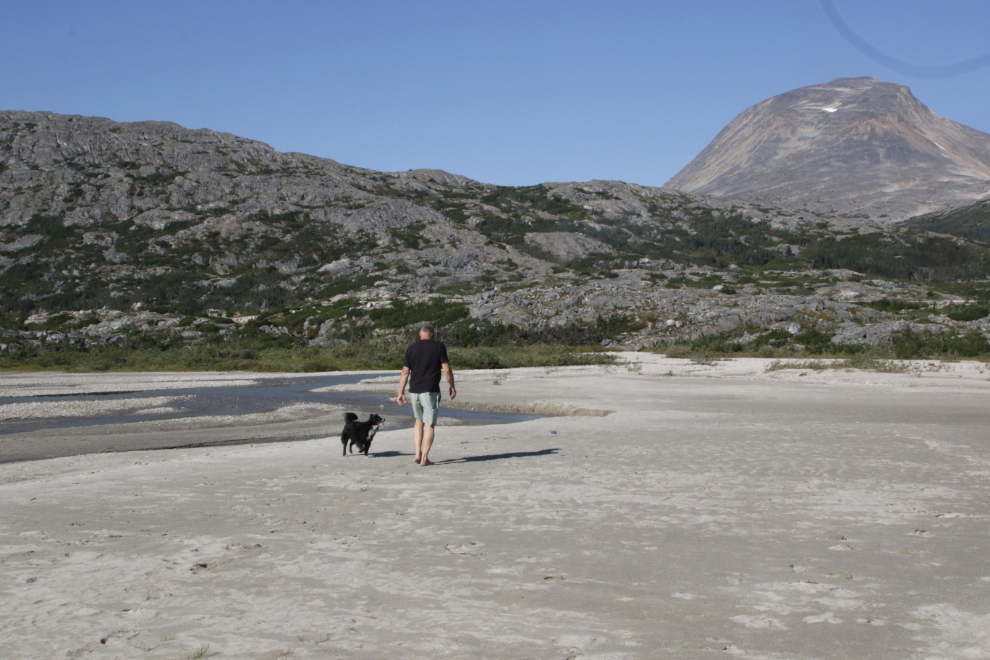
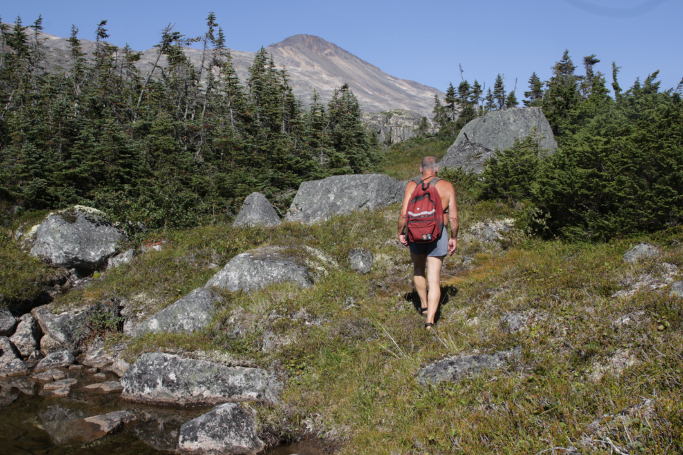
At about 11:15, Tucker and I started walking down the highway, headed for the large sandy beach where Summit Creek empties into Summit Lake. At the head of the trail down to the lake, we sort of had to elbow our way through the bus-passenger crowd, but we were soon far away from them.
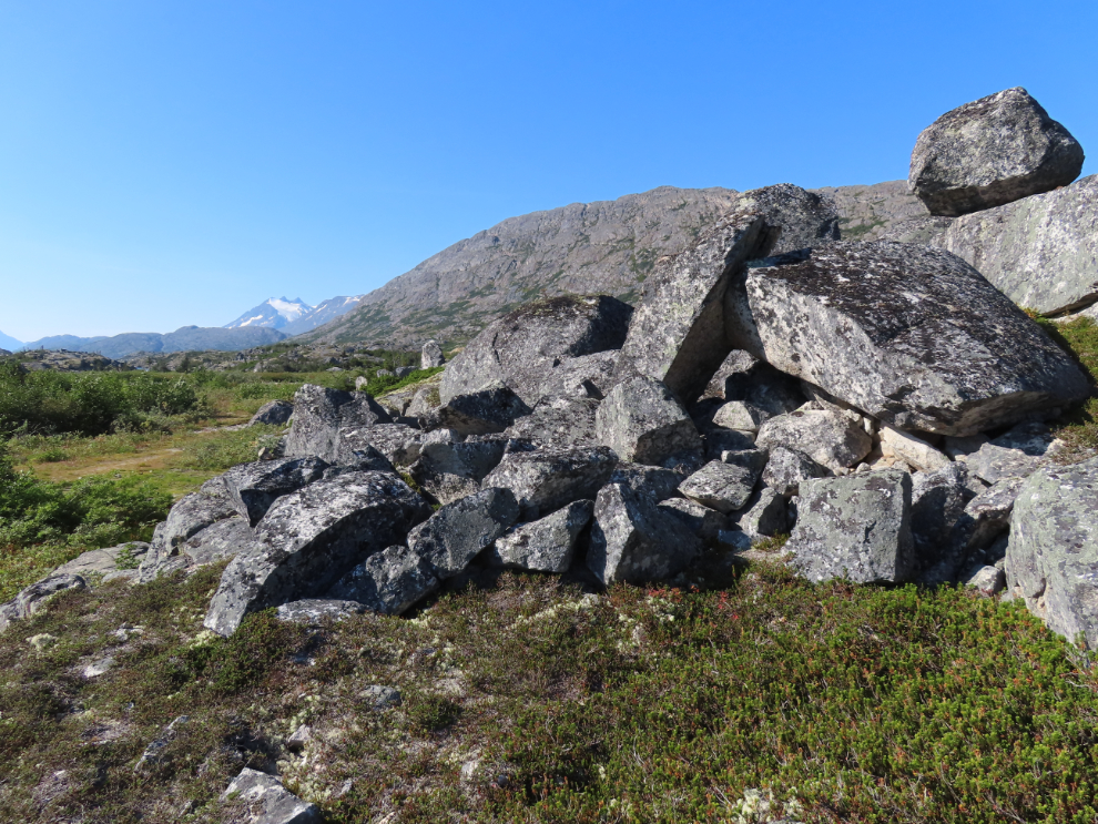
It’s quite amazing what Mother Nature has done with granite of all sizes along the trail.
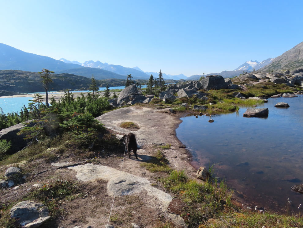
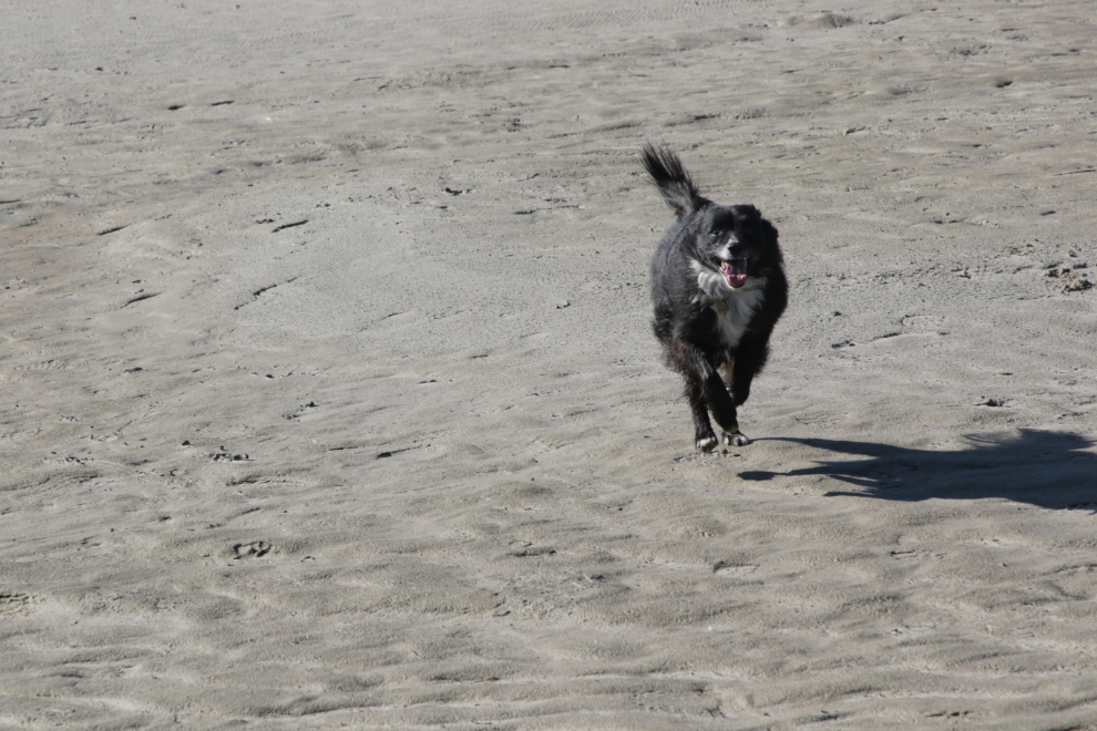
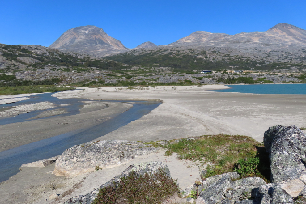
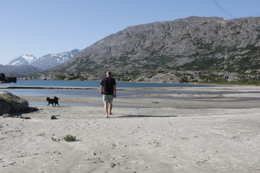
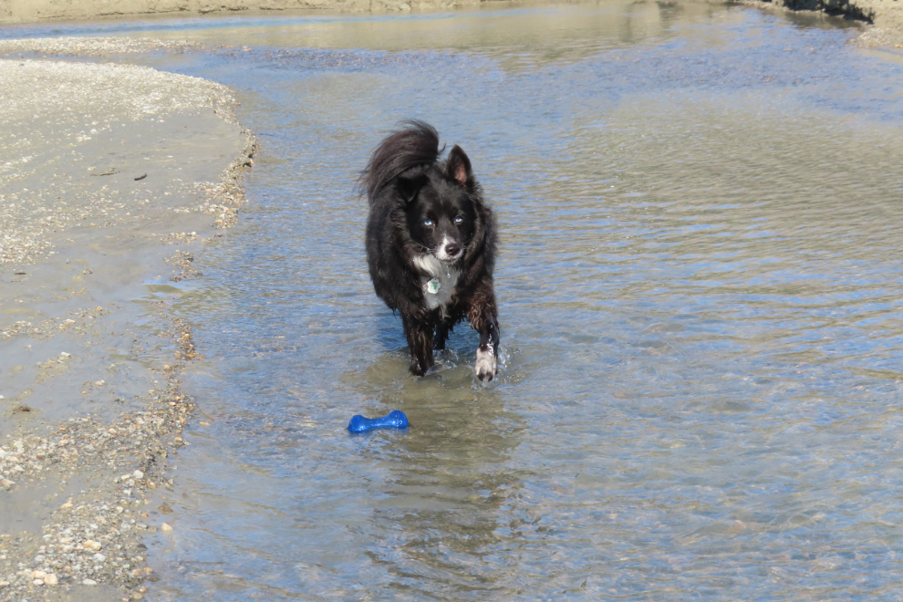
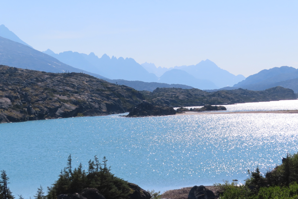
We were soon on the beach, and Tucker went crazy – he has always loved this beach 🙂
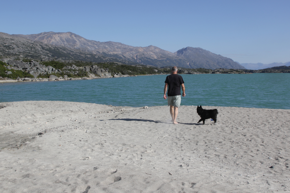
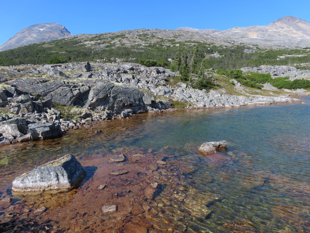
The beach is different every year – there’s never been that much sand by that island before.
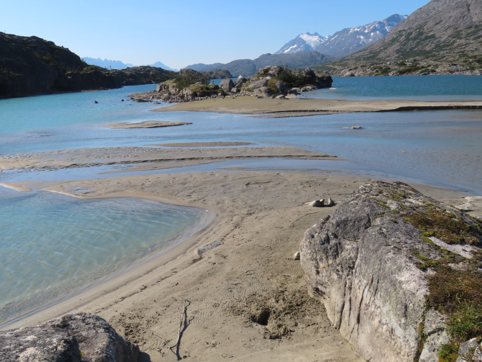
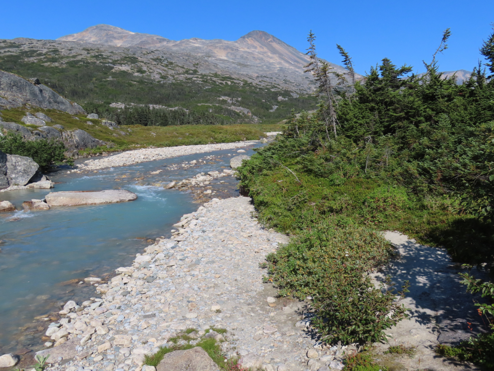
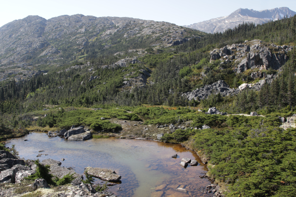
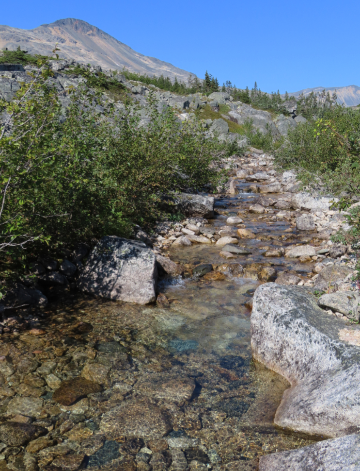
Looking up Summit Creek.
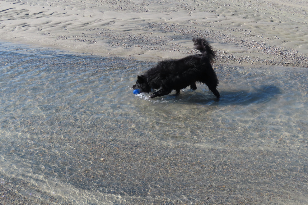
One channel of the creek provided a good play area for Tucker to follow his toy down 🙂
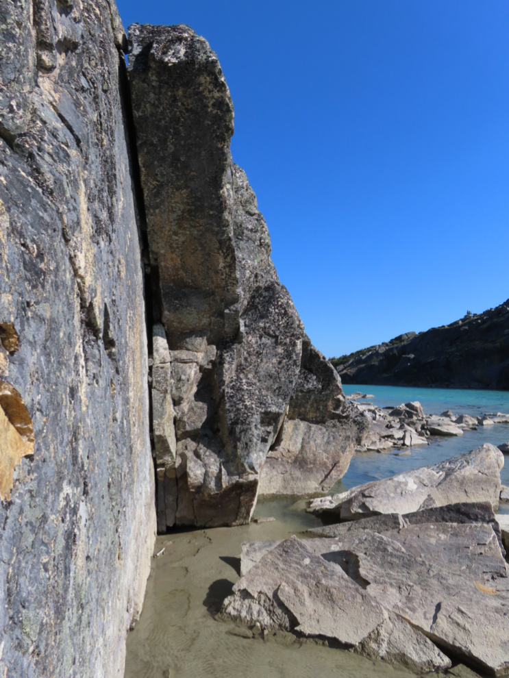
When Tucker pooped out, we did a bit of exploring along the great cliffs at the east end of the beach, then started walking back to the motorhome.
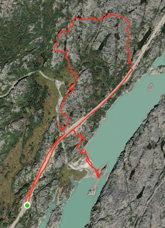
Back at the RV, I got my gear together to head out on another hike. I had thought about doing International Falls, then Bryant Lake, then decided to just explore a new area at Summit Creek, so Cathy would still have the car. The map below shows both the beach route, which covered 2.5 km, and the hike, which covered another 4.3 km. You can see details of the hike on my Strava page.
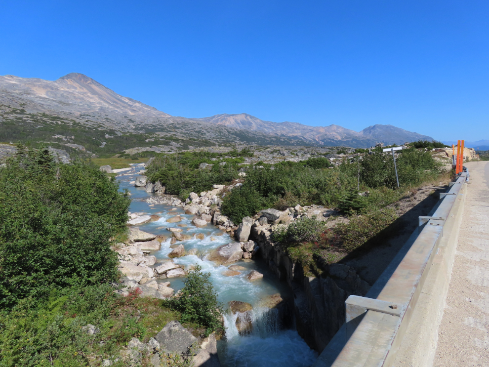
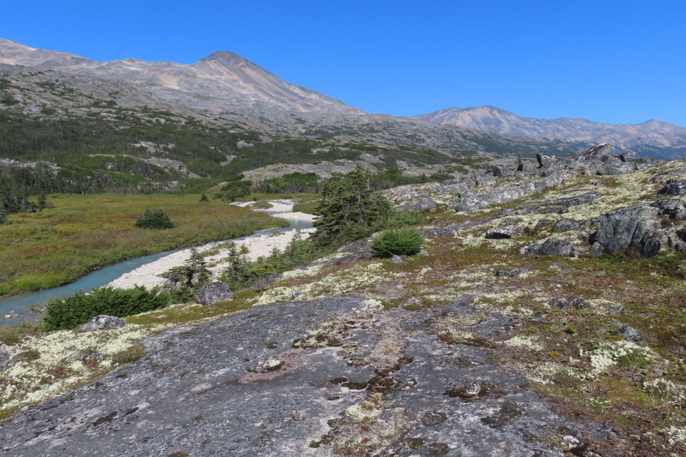
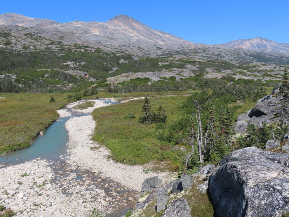
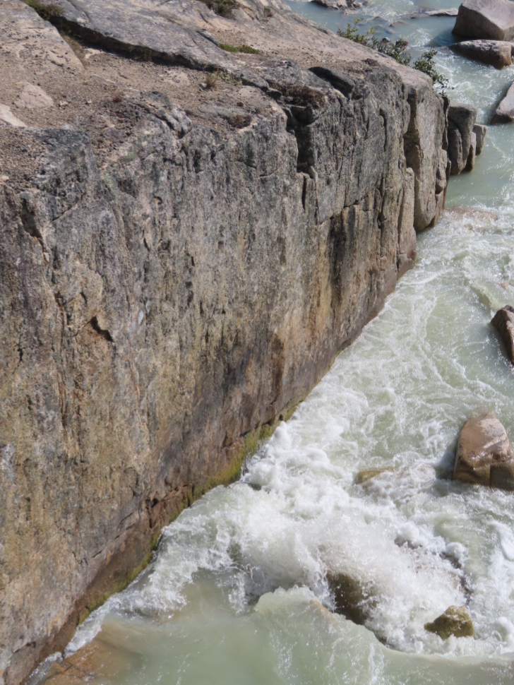
Looking up Summit Creek from the highway bridge at 1:05. It was now very warm, getting close to the day’s maximum of 25°C/77°F.
I saw a trail leading down to the creek…
…but it soon dead-ended here. This would be a completely off-trail hike.
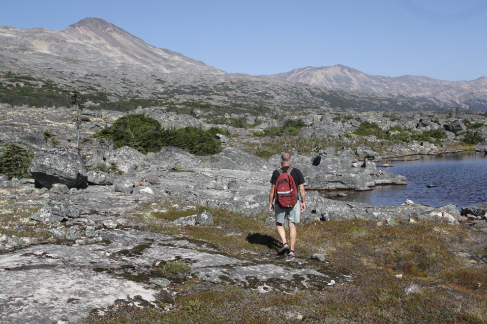
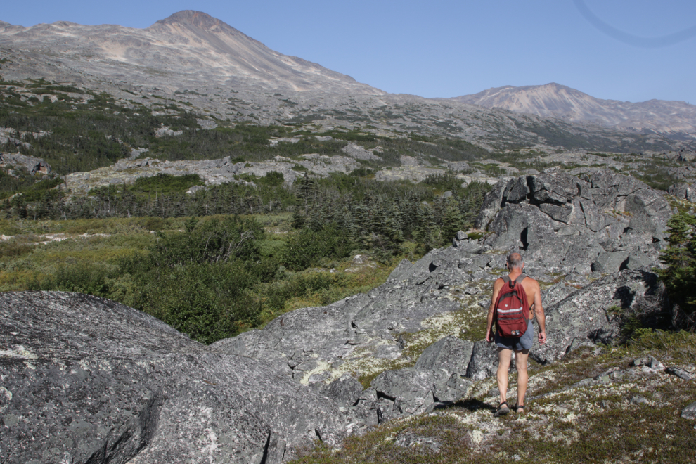
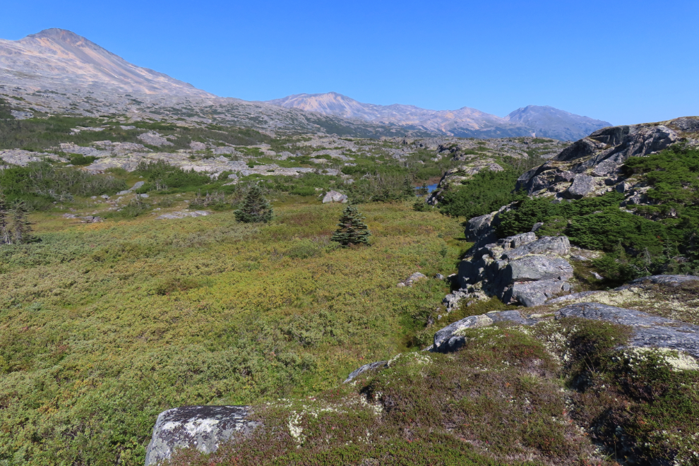
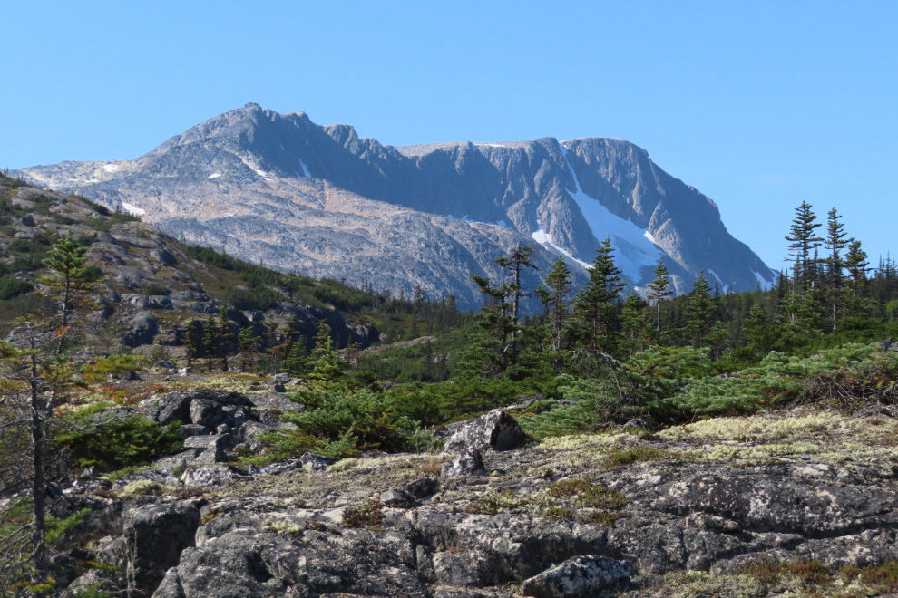
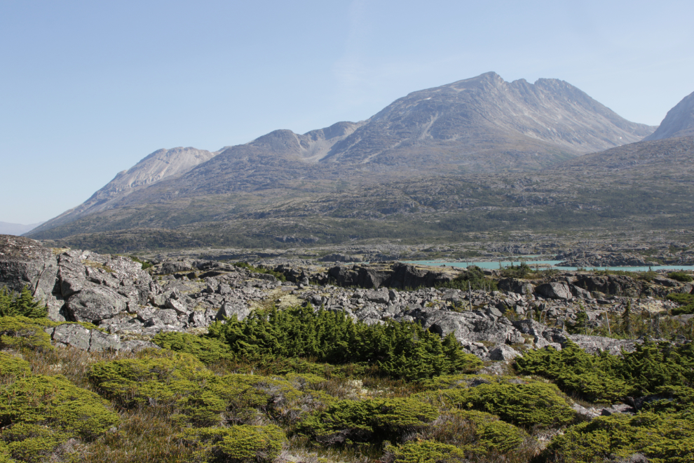
I then walked down the highway a couple of hundred meters and headed across a low outcropping of bare granite. Although I would have been happy to be able to get to the Middle Canyon, that wasn’t a goal – this was simply an exploration, a wander. The country is dramatic at a glance, beautiful and powerful when you stop and sit or lay down for a while, and I never tire of it.
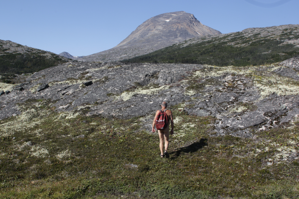
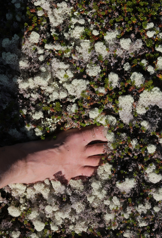
On a day like this, in a place like this, clothing has no practical purpose, and as soon as I shot this photo, it went into my pack, though as usual I kept a pair of shorts handy so I could shoot photos suitable for the blog.
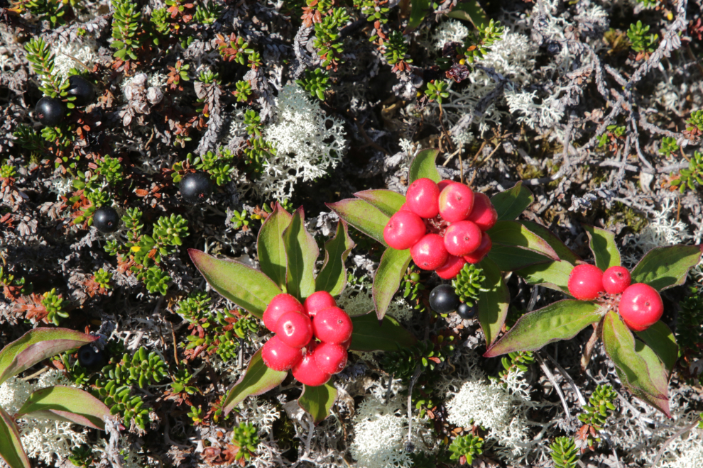
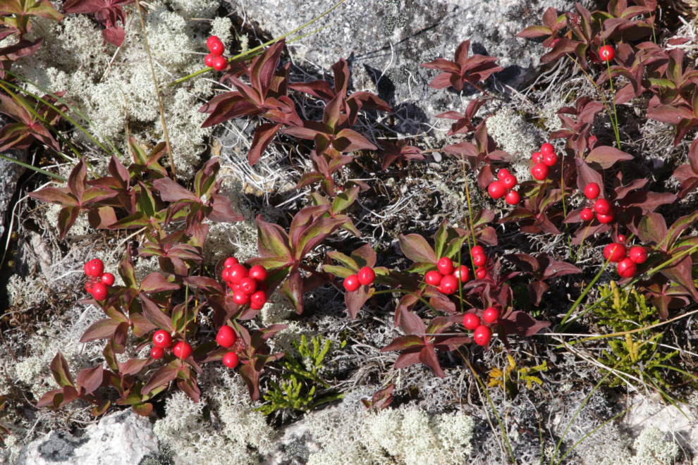
The red berries appear to be Bunchberry dogwood (Cornus canadensis), though my app says Lapland cornel (Cornus suecica).
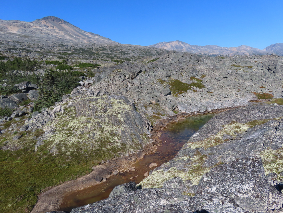
The biggest challenge to navigation here on the north side of Summit Creek is a broad bend of the creek that is very brushy, making going around it the probable easiest route.
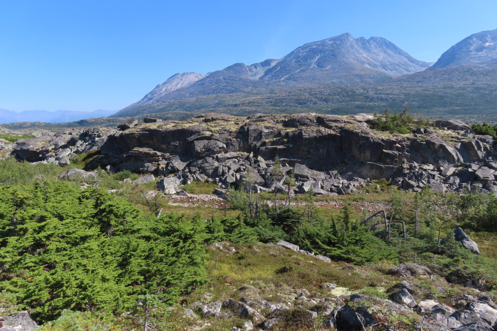
The granite, though, has its own challenges, with frequent cliffs to navigate around.
There was some very nice walking…
…but there came a point where I had to drop down into the brushy valley when an easy path down appeared.
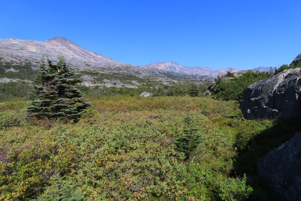
The brush was easier to get through than I had expected, then I was back in nice walking terrain, though navigation still took some thought.
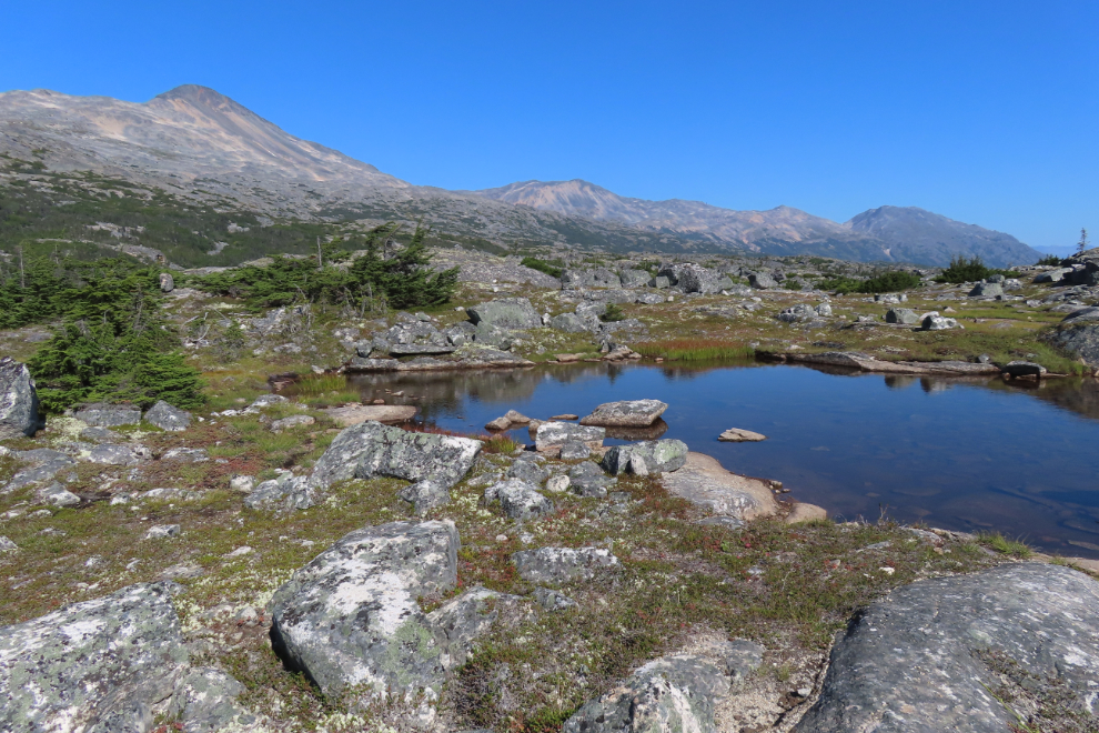
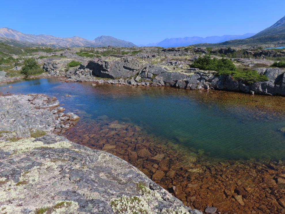
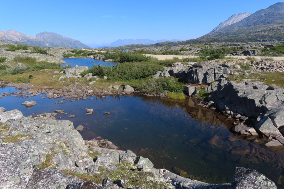
There were a few ponds that appeared to invite me to go for a dip, but none had easy access 🙁
A look back to the southwest.
More Bunchberry dogwood (Cornus canadensis).
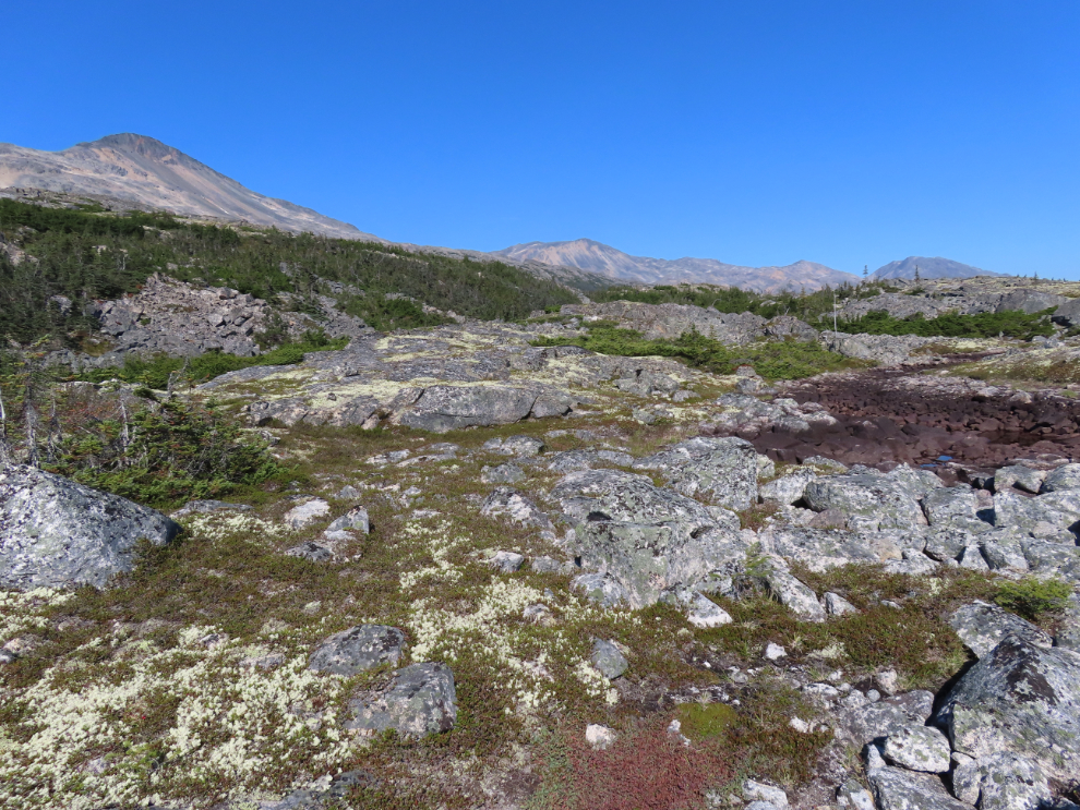
I found a high granite ridge with a thick carpet of moss, lichens, and other low vegetation. I spent a long time here studying the terrain, contemplating the world, and thinking about how incredible lucky I was to be in this place.
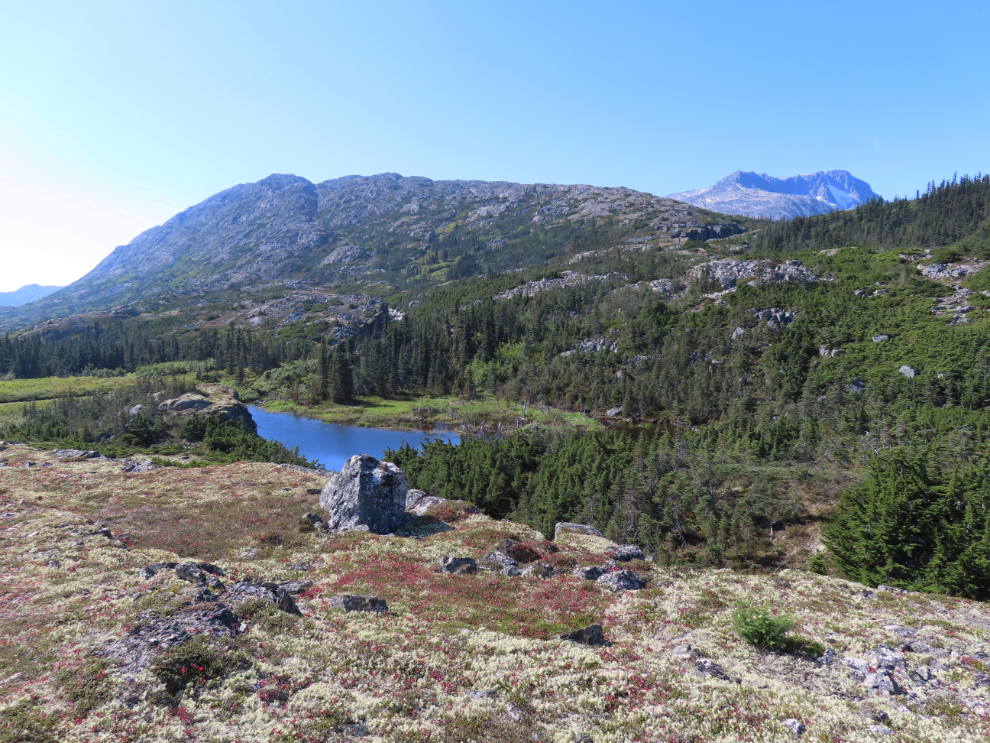
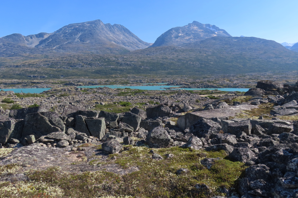
From that vantage point I could see no reasonable route to get back to the Middle Canyon area (which would be in the upper centre of the next photo), so decided to head back towards the highway on a circular route.
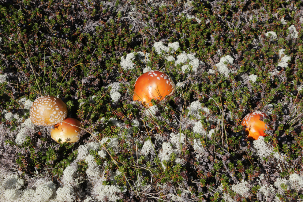
More of the very attractive Boletaceae-family mushrooms I had found the previous day.
The possible routes back to the highway this way all went “against the grain” of the land, so involved a lot of ups and downs, and navigating around cliffs and over rockfalls.
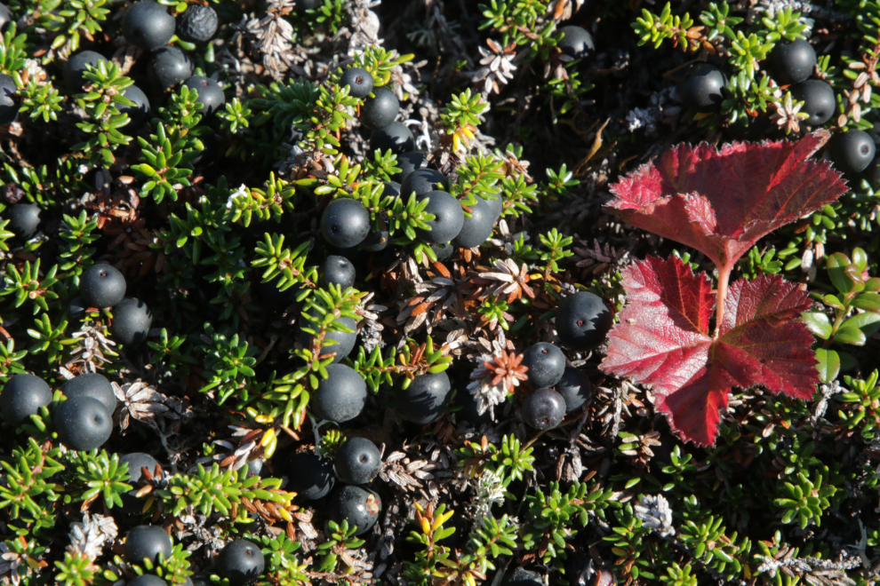
The evergreen Alpine crowberry (Empetrum nigrum) “exhibits a remarkable survival strategy by thriving in harsh Arctic and subarctic climates where few plants can endure.” This patch was certainly happy out in the warm sun 🙂
I was deeply happy on that trek back to highway. I felt so connected to the land on this perfect day. A huge bonus was that I had proven to myself that I had got my off-trail skills back – since getting injured, I had been afraid to go on my hands-down favourite route (about 4 miles from this one) because there was a real danger that I could get lost in very unforgiving country.
Plotting the route – that ridge required a “go-around” strategy 🙂
A lovely little creek. I actually shot a video here, but the wind noise was louder than the sound of the water.
“All of a sudden” I had gained a bunch of elevation and it was a very long way down to that pond.
That jumble of sharply-angled granite was a tricky one to get through.
One last pond to go around to reach the highway. It was a fairly lengthy walk back to the motorhome from there but traffic was down to a minimum so it was fine.
Looking south across Summit Lake and the beach Tucker and I had played on.
Looking down at Summit Creek from the highway bridge.
I got back to the motorhome just after 3:30. We had a lovely family afternoon, a peaceful dinner, then packed up to go home. I reached Fraser at 7:00, cleared Customs and then had a nice chat about rescue dogs with the officer 🙂
Except for having a Jeep to repair now, it was an excellent little getaway.
Congratulations, Murray. Hurray, hurray, upon your successful redevelopment of your internal way-finding compass. It’s been a long haul, and here you are!
Thank you, Ryan. It has indeed been a long haul, and for me this is a really significant skill to regain – to be afraid of some of the places I love the most because they could kill me was an awful feeling.
I keep telling myself that someday I want to hike to the border monument (117) at White Pass. Your photos of the area are beautiful indeed.
Thank you, Dan. Most of the hike to Monument 117 (off-trail) is excellent, though the last bit has some rather challenging brush to get through. The easiest access is from a couple of hundred meters south of the outhouses on the highway near the border. I usually go up from the border because I really like Monument 118 as well – https://explorenorthblog.com/hiking-canada-usa-border-in-the-white-pass/
Beautiful photos. I’ve always loved this part of the drive to Skagway. It’s amazing how that road has so many different types of vegetation and terrain.
Thanks, Ted – the incredible variety is certainly part of the reason I love the White Pass and spend so much time there.