Another hike to Bryant Lake, for the sandy beach and glacier
Continuing our RV-based hiking in the White Pass, I had decided to hike to Bryant Lake again on Monday, August 5th. Often called Fraser Lake because it’s located in a side valley right above the Department of Highways camp and Canada Customs post at Fraser, BC, its main features for me are a large sandy beach at the head of the lake, and the small glacier that feeds it. Although I left the dogs at home on my last hike there due some tough rock slides that need to be crossed along way, I decided to bring them this time.
The first photo today is my view of dawn from the motorhome at 05:52, looking north across Summit Lake.

Then a minute later, looking south into Alaska. The South Klondike Highway would be closed for another 2 hours by virtue of the fact that both Canadian and US Customs posts are closed from midnight until 08:00 Yukon time.
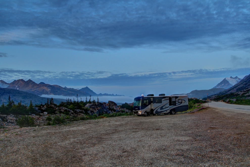
The trail begins across the highway from the north end of a huge gravel pullout at Km 35.2 of the highway. We finally started up the trail (which is an old road) at 10:45. The next photo showing the fireweed in Fall colours was shot 5 minutes later.
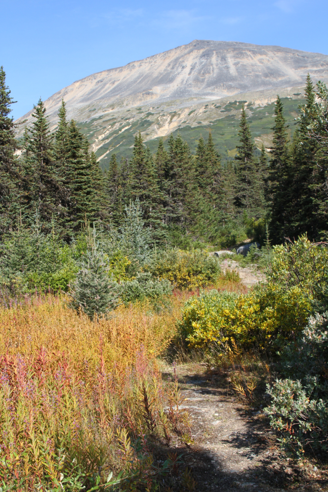
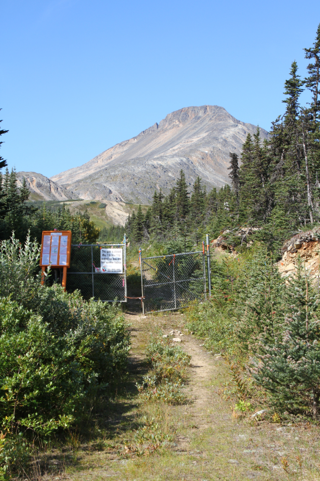
There are a couple of short fairly steep sections on the first part of the trail, but then you meet another old road that has a more gentle and even grade. At 10:56 we reached the fence that seasonally blocks the trail from motorized use to protect caribou habitat.
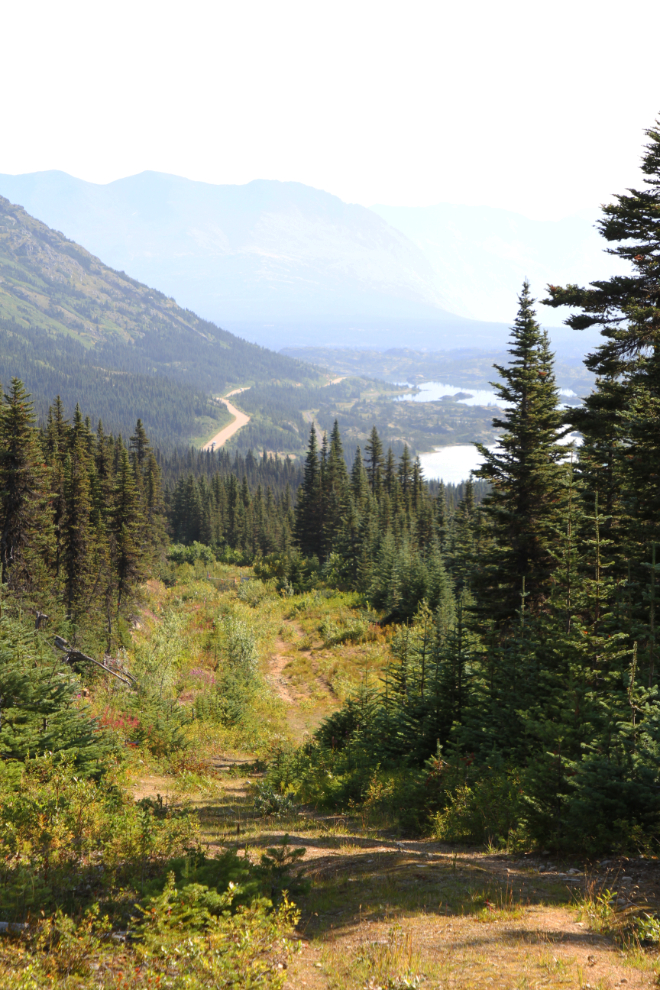
Looking back down to the highway, the WP&YR railway to the right of it, and Bernard Lake at 11:01.
By 11:12 we were nearing treeline. As is my usual practise when sightlines are limited, Bella and Tucker were on a double leash, and as usual on this trail, a can of bear spray was in my other hand.

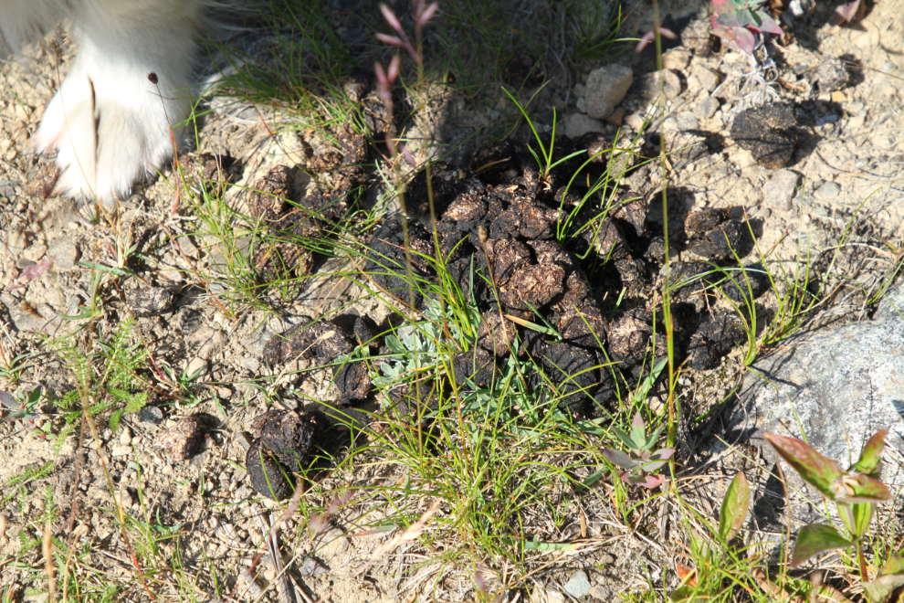
A few meters further along, grizzly scat on the trail. At least a couple of weeks old, I expect, but a good reminder of whose territory you’re entering here.
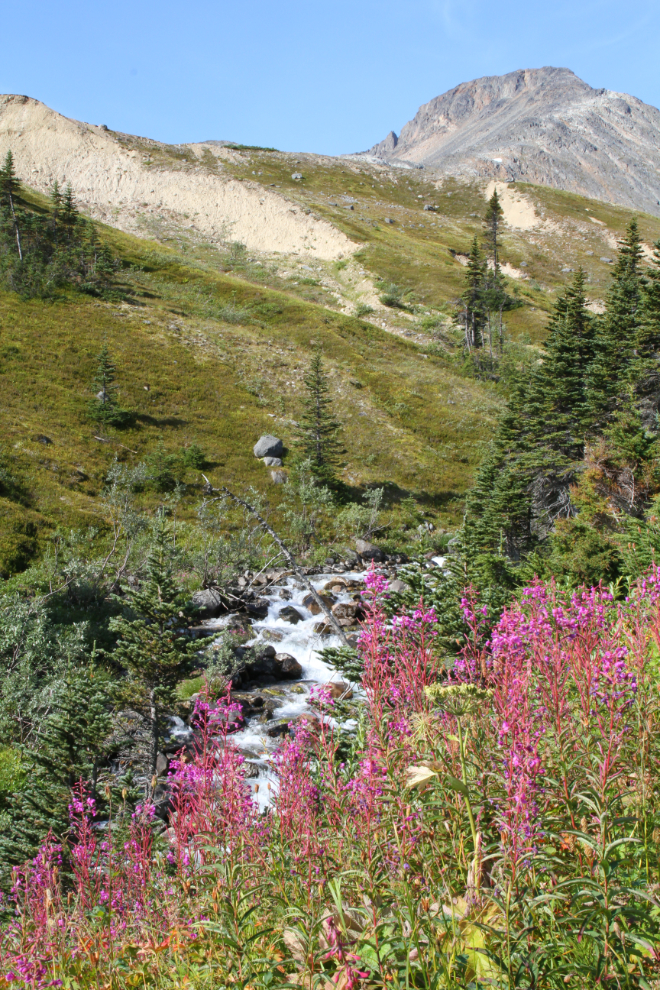
After seeing the fireweed leaves in Fall colours at the start of the trail, I was surprised (and pleased) to see wonderful blooms up higher.
There’s one creek crossing on the trail. Although some people walk along the water conduit, it has too much of a twist in it for my likely. I quickly realized that the water was too deep for Tucker, so carried him across. I’ve always been very careful to make sure I don’t ask him to do anything that might be beyond his ability, so he trusts me completely.

We reached the foot of the lake, and spent a while there, playing on the meadow and in the water a bit. I haven’t found any documentation or even oral history yet, but an earthen dam was built about 40 years ago to enlarge the lake, which now supplies water and electricity to the Fraser camp.
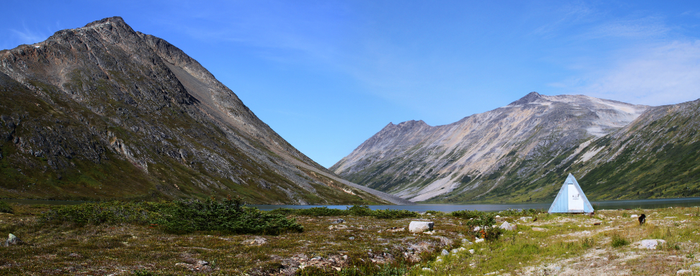
This is the really great part of the trail, along the lake, with just a bit of up and down. It sees little use. YukonHiking.ca calls the peak to the left (south) Fraser Peak, and it probably gets more visitors.
I made a comment recently about how good Bella and Tucker are about recall even when in hot pursuit of some poor critter. I may have to take that back. While Tucker eventually came to me in the instance seen in the next photo, Bella would not. I had to pull her away from the pika or whatever it was – she went on leash as punishment, though I suffer as much as she does.
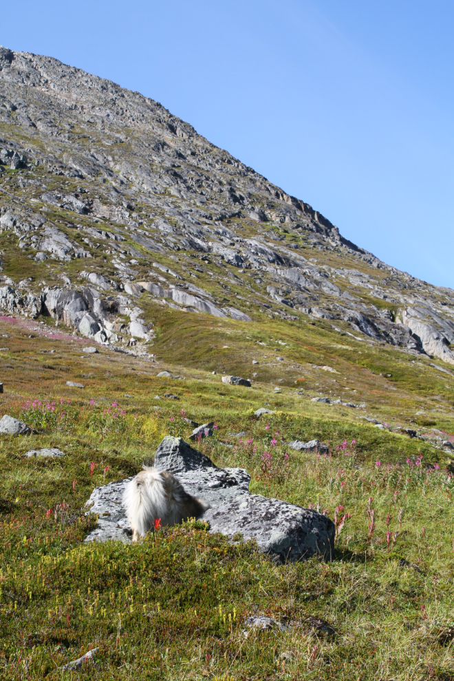
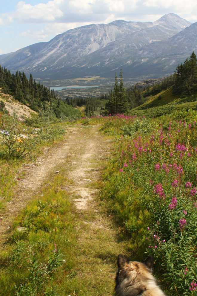
I didn’t keep Bella on leash for very long – she clearly felt bad about making me angry, and stayed close after that. I absolutely love this section of trail. Wonderful trail with nobody else around for miles, spectacular scenery, great sightlines for safety…
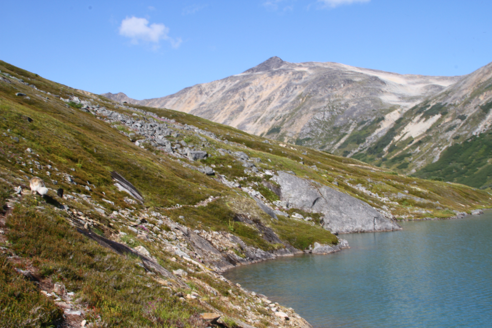
At a spot where the water was easy to access, the kids were both quickly down to cool off. The temperature was probably about 22°C/72°F.

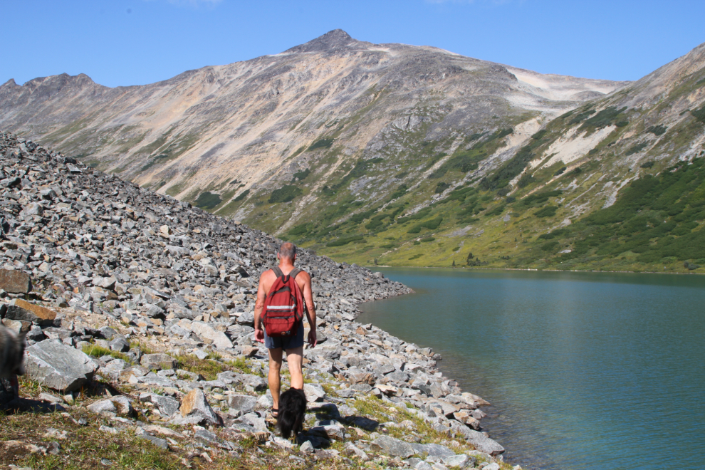
The next photo shows the reason I sometimes leave the kids at home – this rock slide is lengthy, and difficult for both of them.
After the big rock slide, there’s a smaller one, but that crossing is quick enough to not be a big deal.
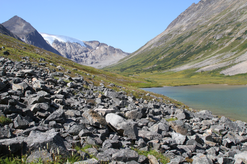
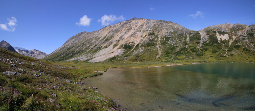
At 12:50, there’s our destination. Just looking at that photo makes me feel good 🙂
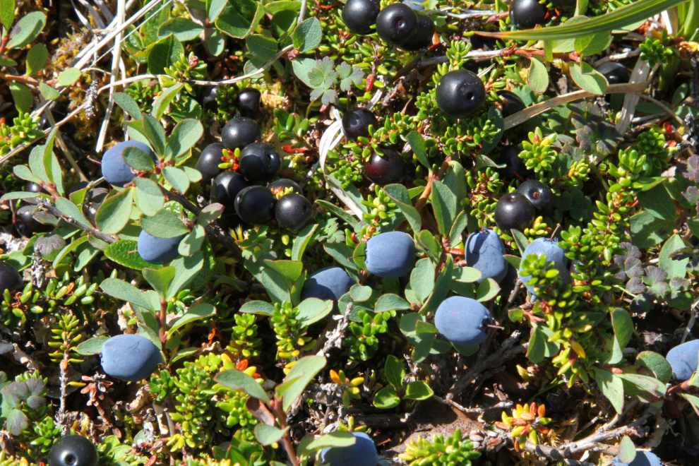
Every one of our plants that produces berries seems to be having a very good year.
We walked up the beach towards the north end, where there’s a very large shallow area that warms up fairly well. The small glacier that feeds the lake is less than 2 miles away, though, so the water is still more suitable for dipping than swimming.
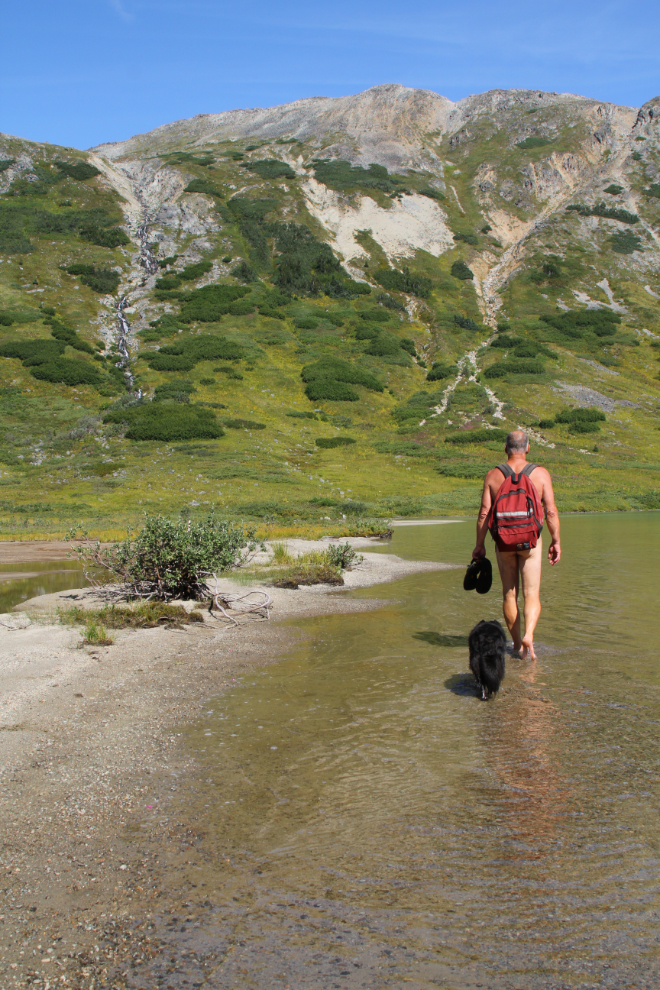
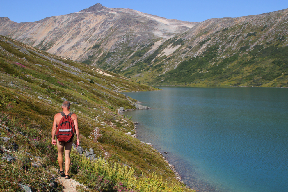
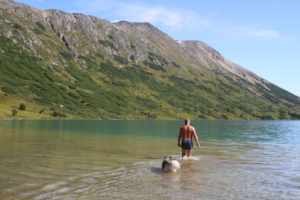
Even though this is one of those places where wearing clothes just isn’t logical, I put my shorts on to take some of the photos 🙂
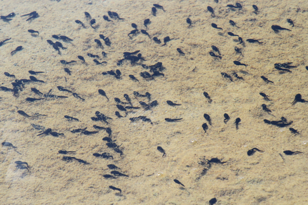
Wandering around the head of the lake, I found one little pool that was loaded with tadpoles. I’ve never seen a frog here, though I’ve seen the occasional one in the White Pass.
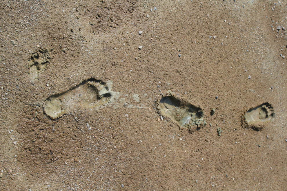
Yeah, I love mud. Especially super-fine glacial silt mud. This is seriously good earthing.
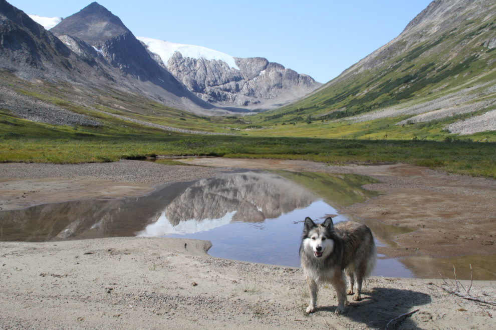
I had initially thought about continuing on to the glacier as I had on a 2016 hike, but it’s quite a slog and we were having too much fun on the beach.
This cascade just beyond the north end of the beach provides wonderful background music to enhance a mountain lake experience.

We spent about an hour on the beach, then started back. Bella and Tucker had played pretty hard, and stayed ahead of me but close.
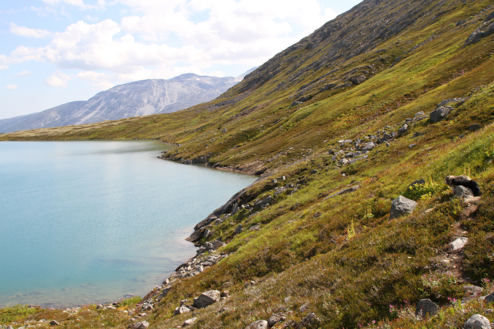
Back at the foot of the lake, 45 minutes after leaving the beach.

Not until you start back down the road from the lake do the peaks surrounding the White Pass really come back into view after a few hours away.
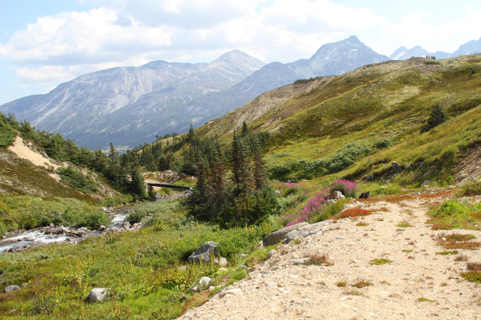
The kids were now back on leash and the bear spray was back in my hand. A friend asked me recently if I worry about bears. No, I don’t worry, but I am bear aware, and prepared.
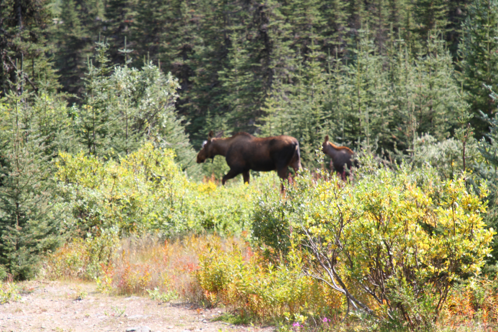
Just before 3:30, we were a few hundred meters from the car, looking forward to getting back to the motorhome to chill, when…. OH OH! Moose! A 2-year-old, then a cow, then a new calf. The dogs didn’t make a sound (which could have precipitated a charge by the cow). I tried to convince them to leave, but after about minutes gave up. I know a way around, but it’s about 2 miles long. I knew Bella was tired, but there was little choice. By the time we got the car, she was done, and I felt awful.
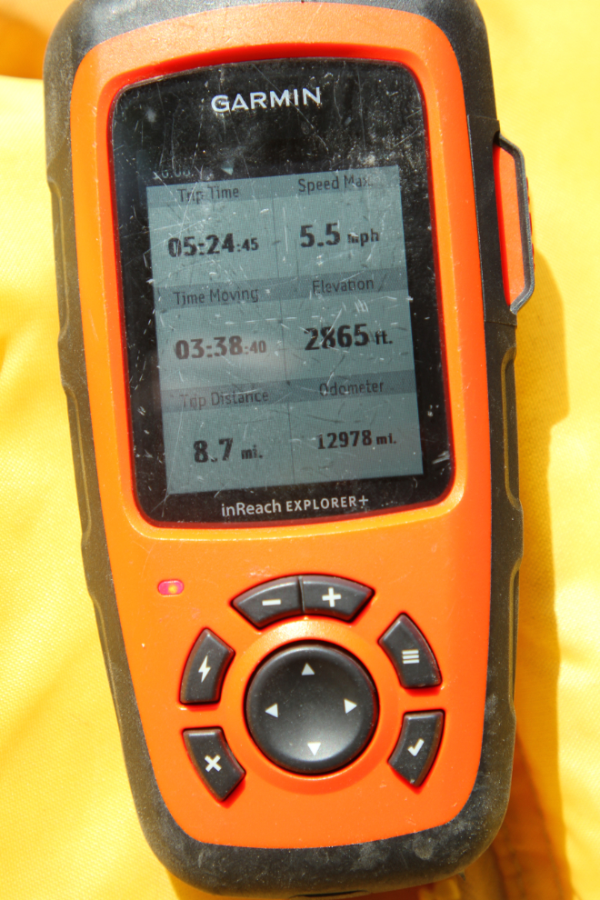
Here’s the final hike report by the Garmin inReach – 8.7 miles in 5 hours, 24 minutes.
The next day, Bella and Tucker would get a rest while I headed up Summit Creek into terrain too rough for them.
