Writing a Chilliwack-area trail guide, 1988-1990
When I lived in BC (the first 40 years of my life), I spent an ever-increasing amount of time in the spectacular Chilliwack River and Skagit River valleys. In 1988 I had an idea that a trail guide would be a useful addition to BC bookstore shelves. By the time my family and I moved to Chilliwack on May 1st 1989, the project was well under way, and it then went into overdrive.
Although I don’t remember any details, the captions on over 2,000 Kodachrome slides have allowed me to create a glimpse of the area and the book project. I’m hoping that as I write this post, some fragments of memory may appear to help fill in some of the details.
Although their website doesn’t list such a collection, all of my files and maps were donated to the Chilliwack Archives in about 1992 when I knew I wouldn’t be returning from the Yukon. I’ve just written to the Archives to see if the collection was eventually rejected, which would be a surprise given the amount of forestry and mining research I did for it, or if my memory is that bad.
The photos that follow are posted in chronological order.
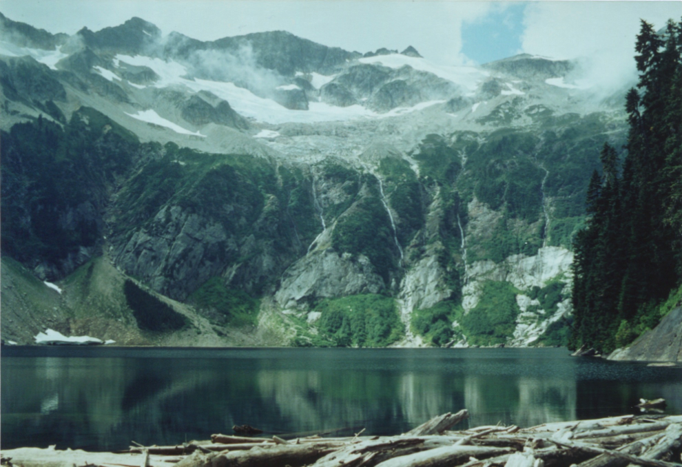
From the mid-1980s, the first photo is of Hanging Lake on my first hike up to it. The driftwood pile I was standing on seemed to have enlarged the lake a fair bit.
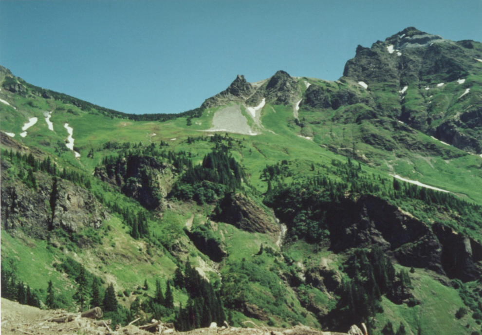
Hiking up Airplane Creek. The high peak is probably Foley Peak. Although it was well known that the creek was named because of the scraps of very old aluminum found along it, from an obvious plane crash, I never met anyone who knew where that crash site was. When I found the wreckage of a twin-engine plane on the ridge ahead in the photo, I was heavily involved in CASARA (the Civil Air Search and Rescue Association). The wreck site wasn’t on the search maps we used, so I contacted 442 Squadron. They had no record of it, but were able to find a report of a missing plane that had never been found – from 1948 or so.
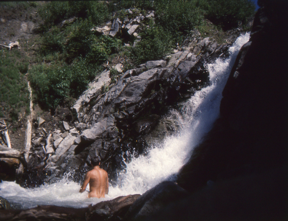
Many of the routes and trails I explored had excellent ways to deal with hot days when they happened. The next photo was shot in the Paleface Valley in July 1988.
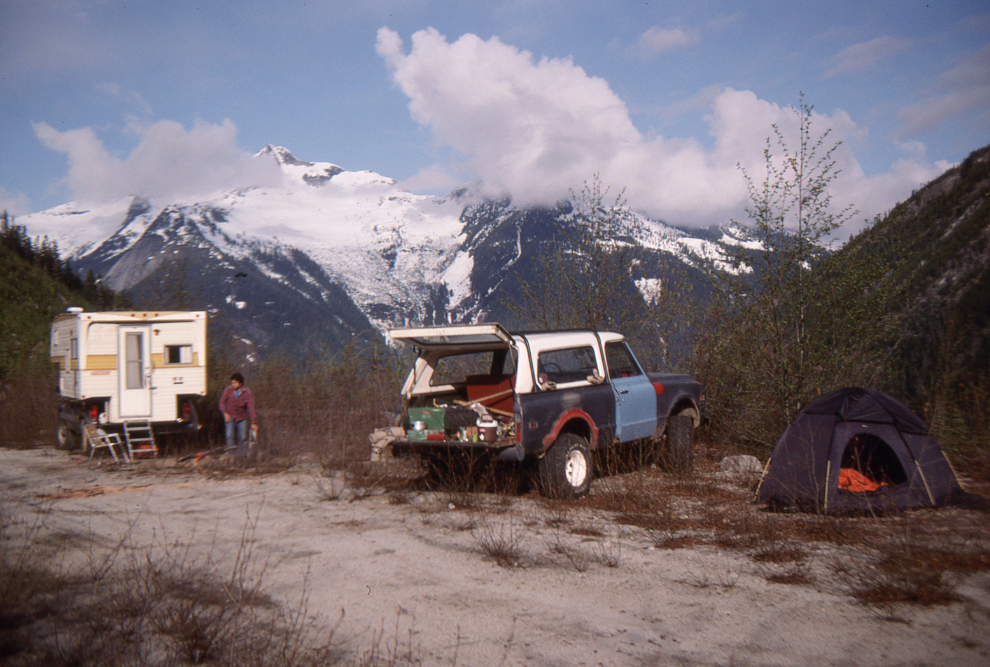
The Paleface Valley is a complex area, and I spent a lot of time there in 1988 and ’89 in particular. In April 1989 my son and a coworker/friend from Overwaitea Foods set up a base camp and hiked from there. Old logging and mining roads provided access to many of the areas I explored.
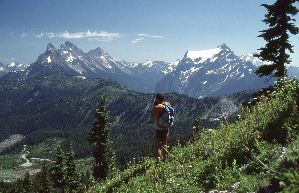
On July 30, 1989, I was exploring in the wildflower-carpeted alpine areas close to the Canada-USA border. The high peaks seen to the left from my meadow on Mt. McGuire are the Border Peaks. As is usually the case now, 33 years later, I almost always hiked alone, getting photos like this one with the use of a tripod and timer.
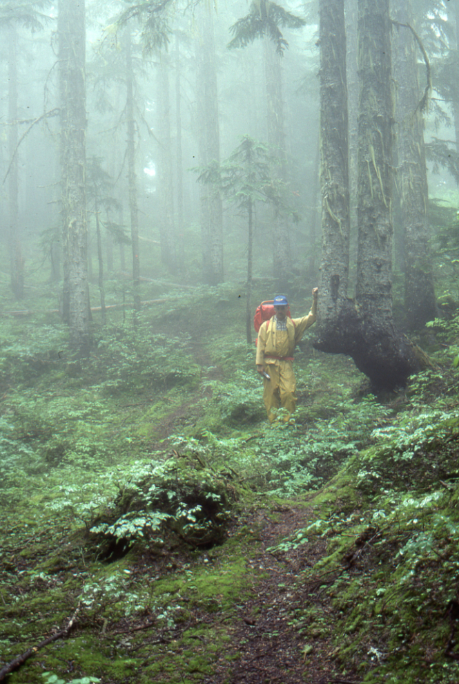
By the time I shot the next photo on Mount Ford on August 16, 1989, I was excited about and dedicated to writing a book about the incredible places I was finding, and would hike in any weather. A full set of heavy rain gear even had me out in rain and fog like on this day. I can barely be seen through the fog in another photo from this day.
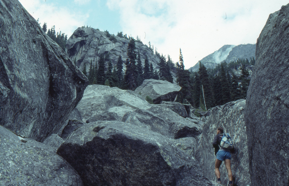
On August 30, 1989, I was traversing the north shore of Upper Hanging Lake. Although the next photo shows the difficulty of the route well, I don’t seem to have any photo of the lake itself.
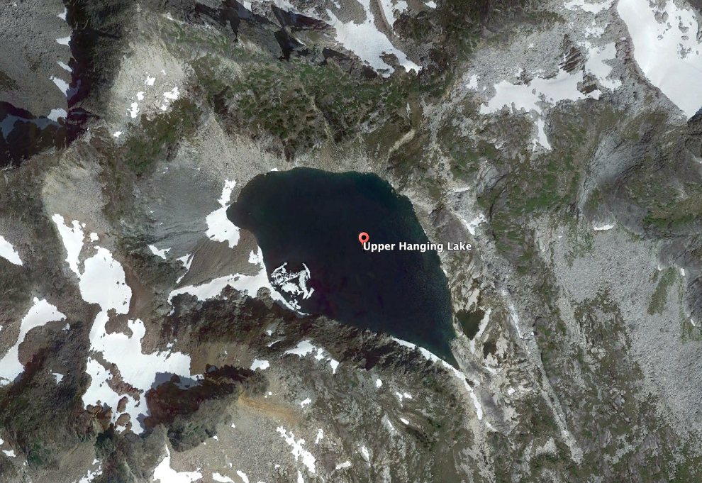
Google Earth supplied an aerial photo of Upper Hanging Lake.
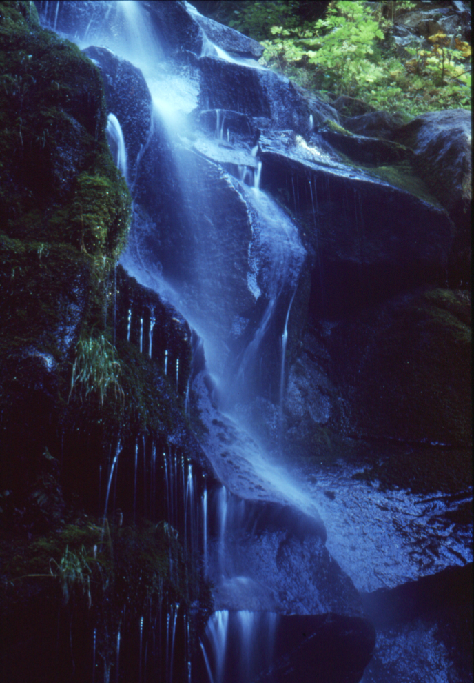
While I was doing the research hikes, I was also teaching night school photography at Fraser Valley College, so as well as documentary photojournalism for the book, I was also shooting a lot of creative images such as this little waterfall on the Lucky Four Mine trail. The water was made to almost disappear by using a 15-second exposure at f22. That sort of exposure information was recorded on the slide mount when it was unusual.
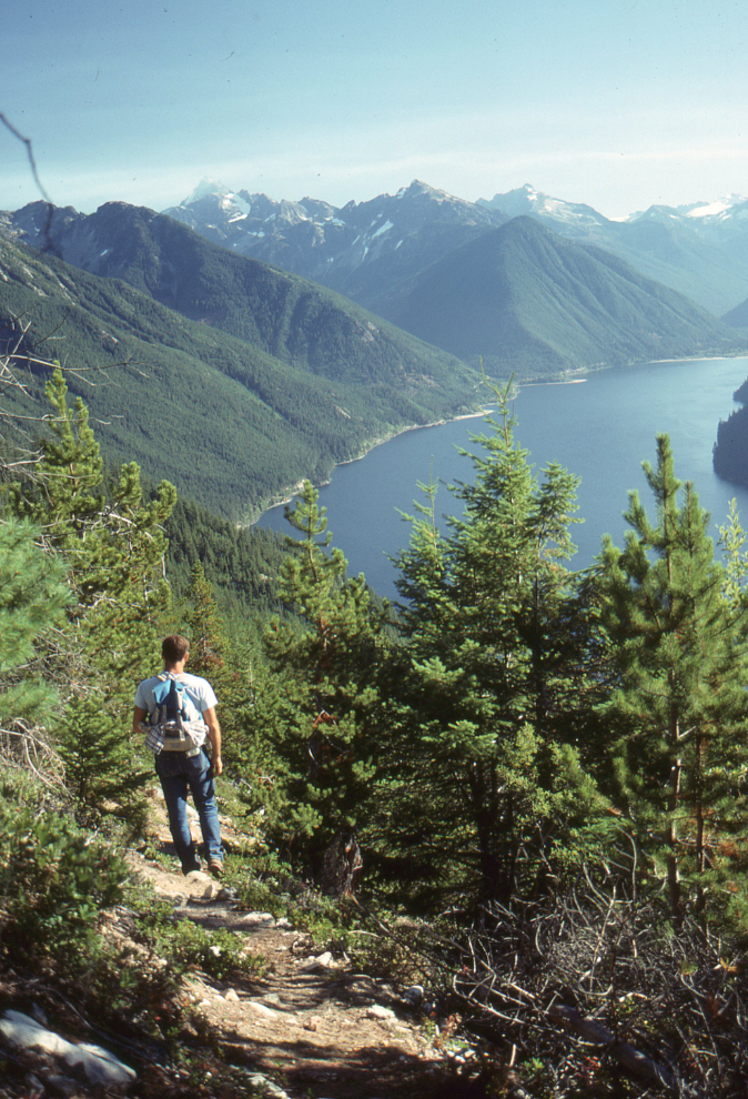
In 1989 I started paying some of the bills by getting photos published. The next photo of Chilliwack Lake, shot on October 3, 1989, was probably the second image I sold – it was used as the cover photo for the Chilliwack 1990 recreation guide. In a box somewhere, I probably have a copy of the guide – I’ll come across it eventually in my scanning.
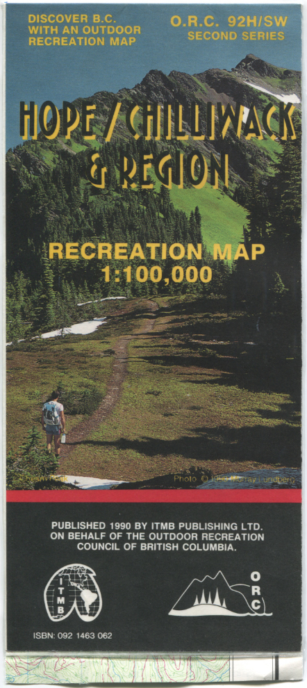
Another published image, used as the cover of a folding map showing Hope/Chilliwack recreation areas.
I would often pack for an overnight hike just in case I got carried away with exploring 🙂 This was shot on the Pierce Lake trail on October 7, 1989.
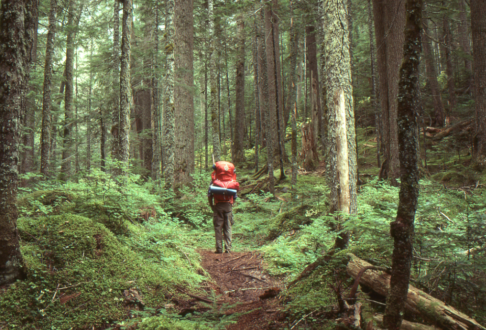
Later that day I was on the Upper Pierce Lake trail.
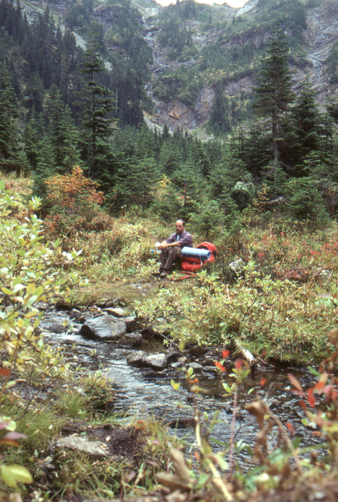
The next photo, shot on Cheam Peak overlooking Chilliwack on October 15, 1989, was the first photo I ever sold, days after shooting it. It was used as the single photo on the Chilliwack Progress’ calendar for 1990.
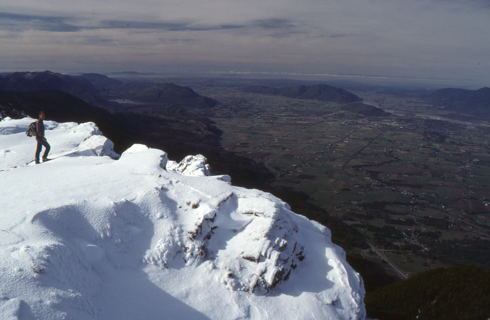
As access to the high country began to close in late October due to snow, I surveyed lower trails and filled in photos of more area activities, such as this very wet fisherman on the Chilliwack River below the Tamihi Creek bridge.
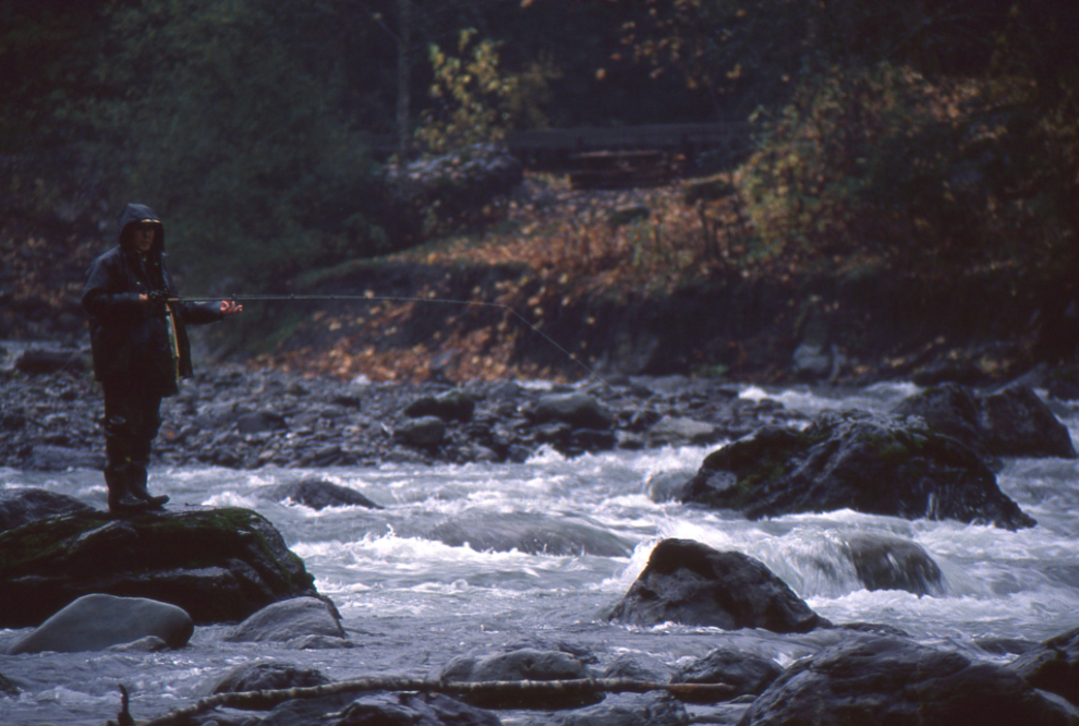
The book project was progressing extremely well, then Mother Nature wreaked havoc on the region. This headline was published on November 15, 1989. Storms had done a lot of damage the previous year, but nothing like the scale of the 1989 storms. When I first posted this article, I used a screenshot of the newspaper from the online archives I subscribe to. When I was scanning my Chilliwack slides, I discovered that I had taken a photo of it! I rarely take photos of newspapers – perhaps 5 times in over 50 years. That shows how important I felt it might be.

Many of the trails I had surveyed would obviously need to be re-done, but with much of the backcountry now inaccessible due to flood damage and/or snow, I didn’t realize the full extent of the destruction. On December 14th I shot this “selfie,” intended as the Author photo for the book.

In January 1990 I took my extremely talented photographer friend Roy Luckow out shooting a couple of times, to specific places I knew he’d enjoy for ice in particular. This photo was shot at Church Mountain.
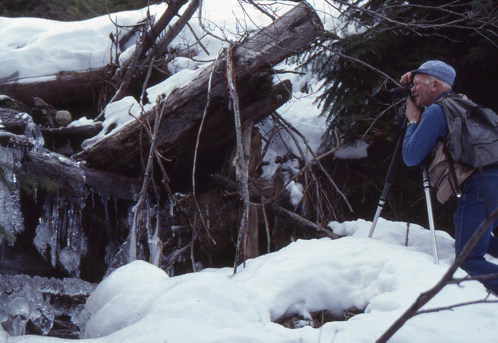
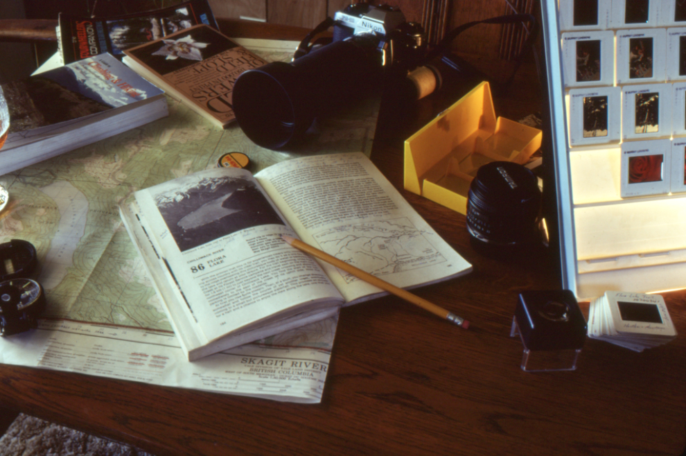
With hiking/exploring options now almost nonexistent, I shot a lot of still lifes of hiking, snowshoeing, photography, and aviation related subjects.

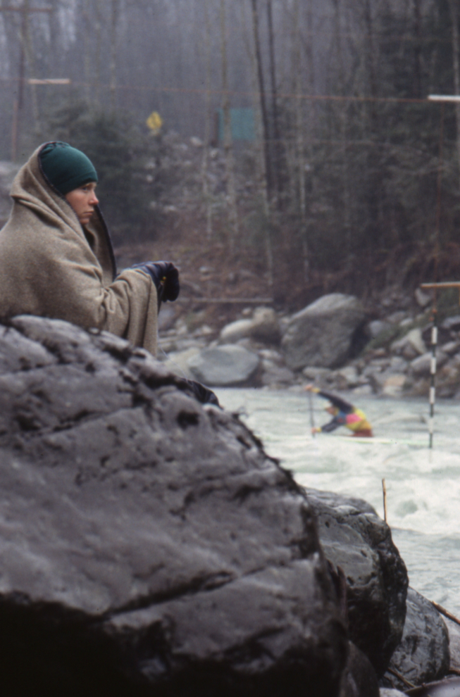
A wet and chilled judge at kayak races on Tamihi Creek on January 20, 1990.
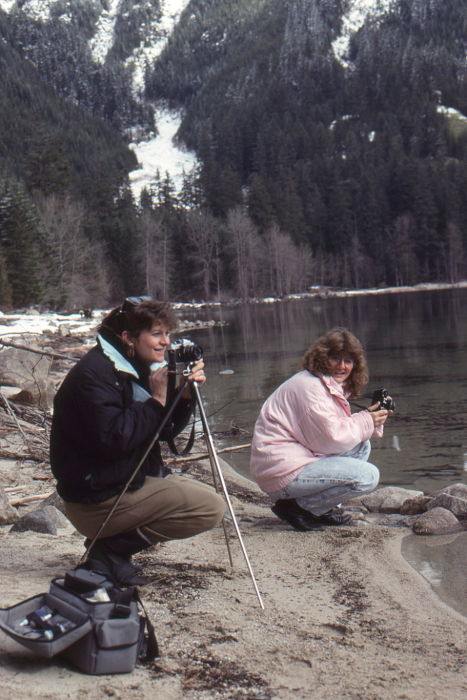
As disheartened as I was, I kept going to the Chilliwack River valley. I shot the next photo on a photography workshop I was running in March 1990.
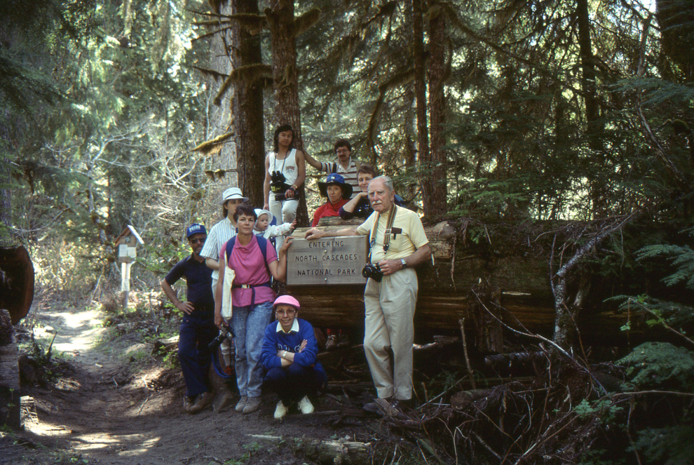
The final photo was shot on an outing I guided for the Abbotsford Camera Club, into the huge-tree forests at the south end of the valley, right on the BC-Washington border. This was run days before I left for the Yukon to drive a tour bus for the summer. Although I didn’t know it at the time, I would never again live in BC except for 2-3 months when I was trying to figure out a lot of things. The book then died…
I’ve been thinking about writing this post for a very long time, and now I’m really pleased that I was able to do it. This is a story that I don’t think even my kids know – they certainly don’t know much about it. Sometimes after a really bad day, which yesterday was, I get almost manic for a short while, and can be very productive. As I soon as I hit the “Publish” button, though, Tucker and I will be going back to bed for a couple of hours to recover.
Additional comments, 2 hours later: after reading that you would logically assume that the story was written from memories. But although I still know basic concepts – I was working on a trail guide, I have thousands of photos, and shit happened – the story was pieced together from what I saw in the photos, most of which I gathered months ago with this post in mind. The only major exception to that is the crash site above Airplane Creek. That I remember because of the trauma involved – when I arrived, there were scattered remains of two, perhaps three, human skeletons, including at least one skull. I don’t have even a single photo of the site. Once they realized what I had found, the RCAF quickly sent a team in to recover what body parts they could and perhaps clean up the site in other ways.
It occurred to me a few minutes ago that large parts of the area I was working on didn’t appear in the slides I went through. I quickly found a binder containing 920 Chilliwack-area slides in the stack beside my desk waiting to be scanned. There may well be lots more.

I was very interested in this post as a family friend wrote a good handful of hiking guide books covering Washington state in that same time period and our family was also involved in more than a few of those hikes. Your journey to get to the Yukon, though known through your blog, was just fleshed out for me in several new points of the compass. It always a good refresher to remember the film days of photography, even for a hobbyist like me. Enjoyed this post!
Thanks as always, Brad – I’m really glad you enjoyed this one.