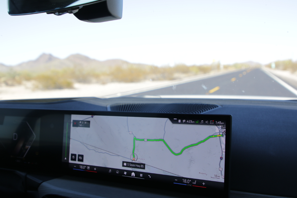
To Organ Pipe Cactus National Monument and The Wall
Back on November 28, I mentioned that although I thought that our drive to Oatman would be the highlight of the trip, we had another day that equalled it. This was that day, and it’s taking three posts to tell you about it (this is the second). See an interactive map of the basic route here.
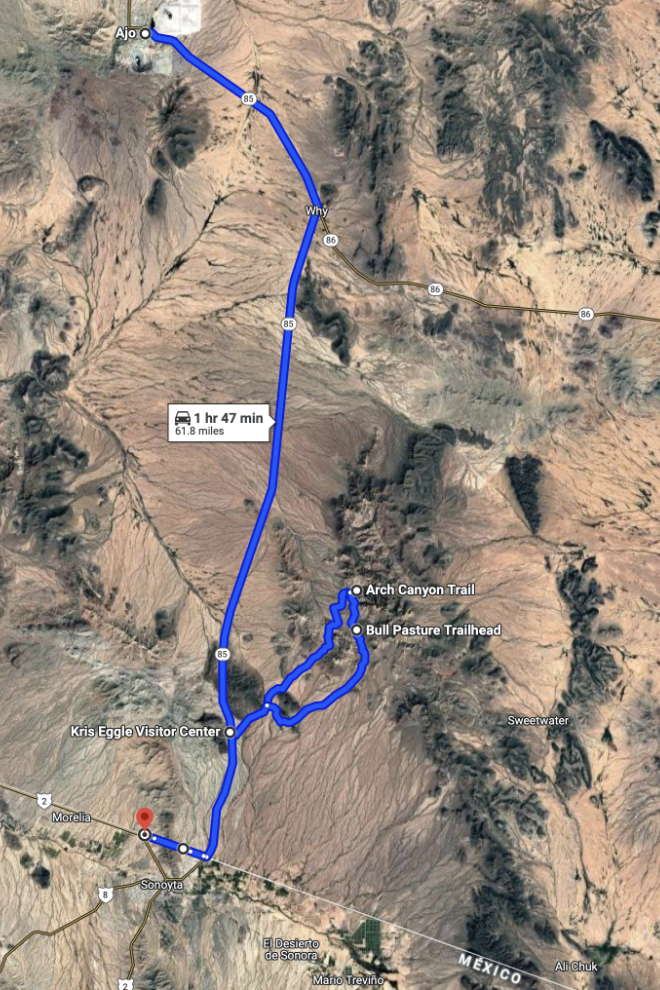
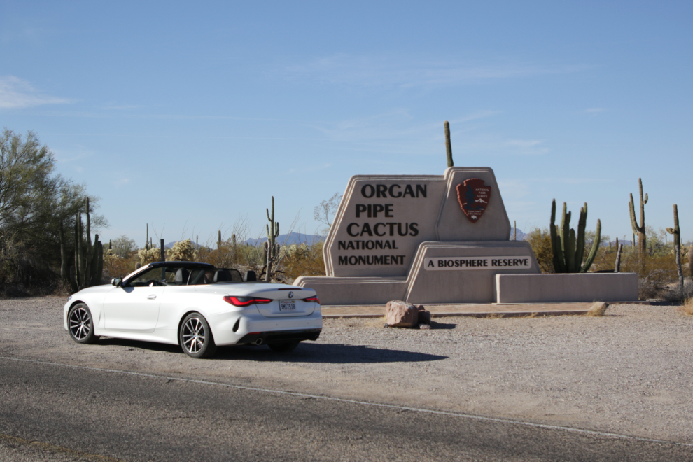
It’s a short drive from Ajo to the northern border of Organ Pipe Cactus National Monument. We left Ajo at 9:25 and the next photo was shot 20 minutes later.
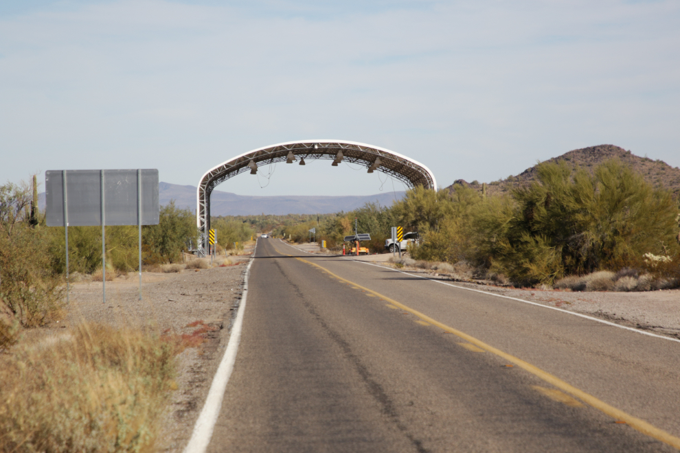
Looking back to the north, a border inspection checkpoint seemed to be either just being set up, or taken down. The Border Patrol has a budget of $17.5 billion and more than 63,000 personnel, of which over 16,000 are Border Patrol agents stationed along the US-Mexico border. Mind boggling.
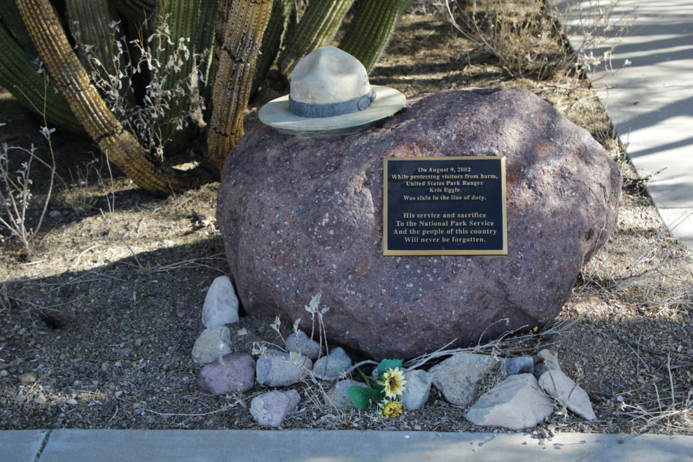
At 10:10 we checked in with the ranger at the Kris Eggle Visitor Center. The center was named for a ranger who was shot and killed at the border on August 9, 2002. Kris Eggle was 27 years old. The gunman was killed by Mexican police from their side of the border, which at that time was marked by only a barbed wire fence.
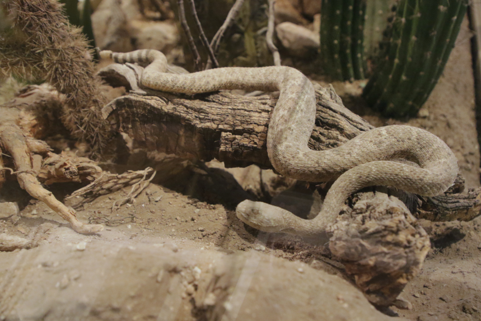
While the ranger on the desk was busy with other visitors, we checked out the displays in the center, including this rattle snake.
After talking to the ranger for a bit, I bought a National Park Service annual pass for $80, and decided to drive the 21-miles Ajo Mountain Drive loop, for which we were told to allow an hour and a half. Our car was not suitable for the longer loop to the west. Although it would have been a great top-down road, the ranger said “this is pretty sketchy country” and recommended that we keep the top up. Writing this now it seems like the negative vibes would have affected us, but the power and beauty of the land easily overcame those man-made vibes.
At 10:35 we started around the loop.
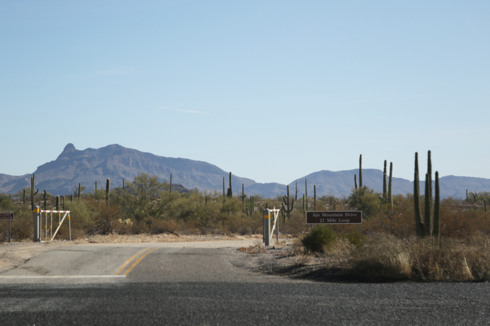
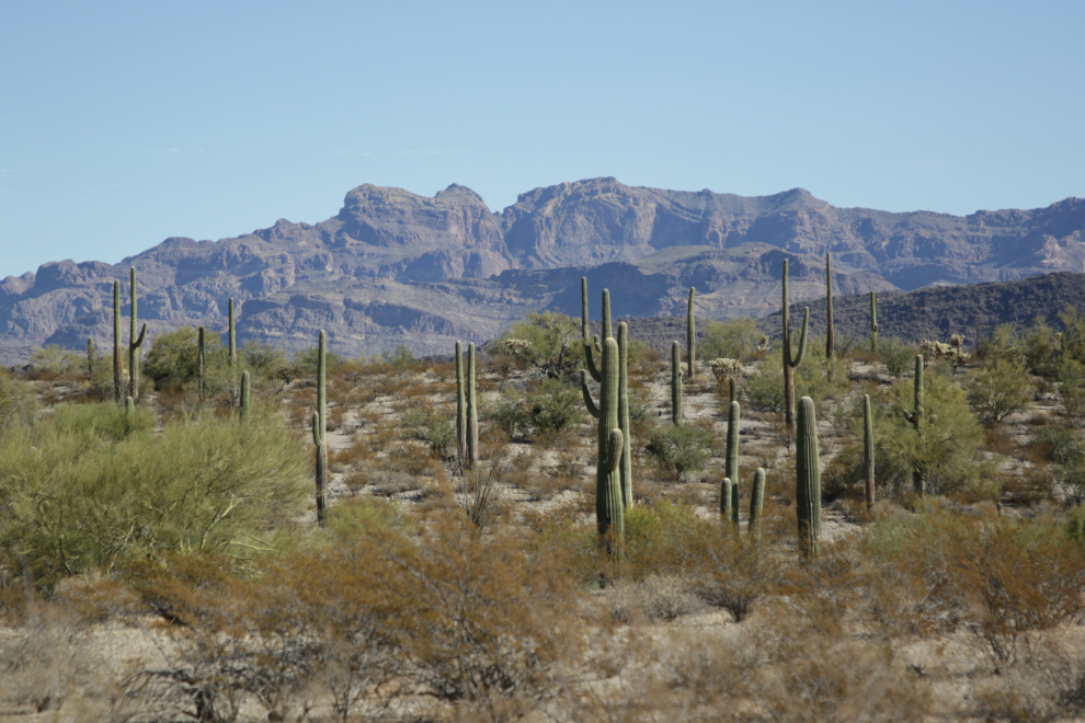
The drive would take us right up to those mountains, and a short hike might take us into one of the canyons.
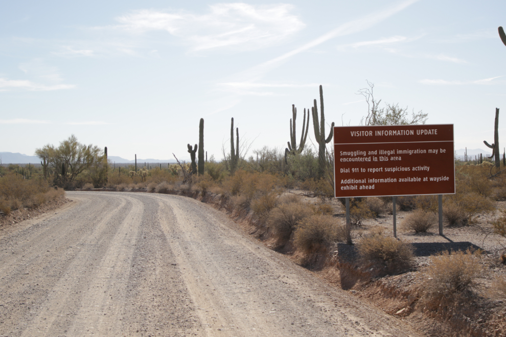
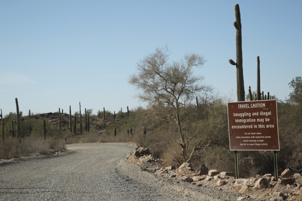
There are signs everywhere warning about “smuggling and illegal immigration” in the area – this was the largest one. As the ranger said, “pretty sketchy country.”
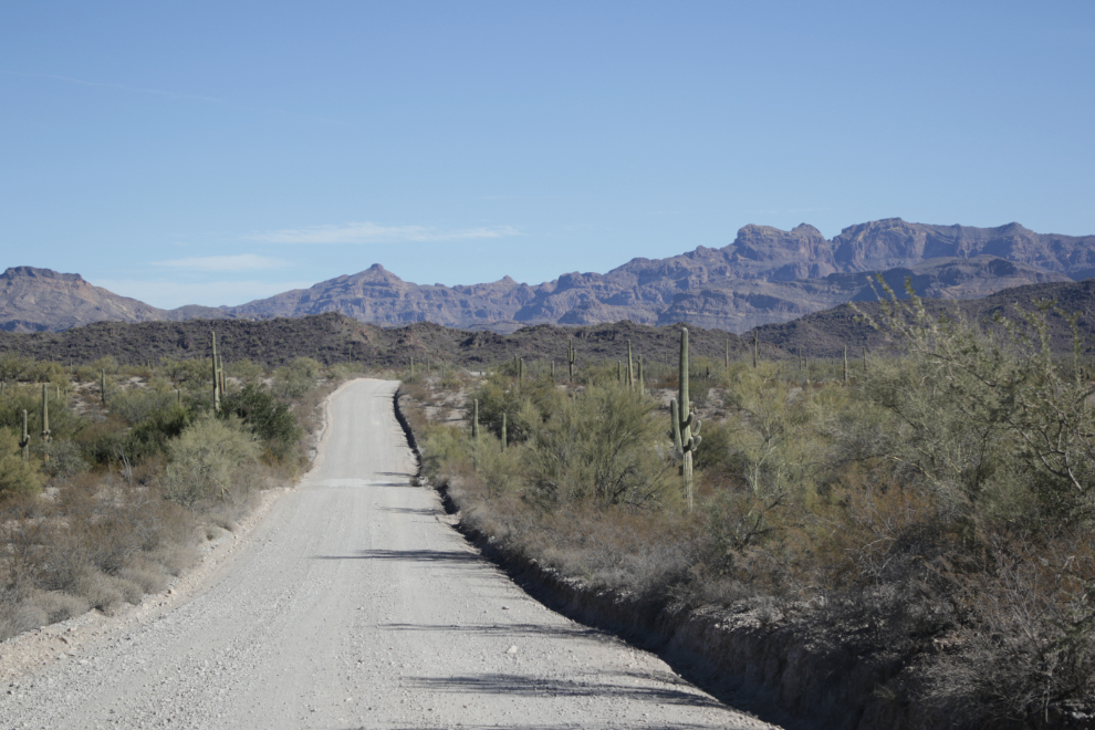
The first mile-and-a-half or so of the road is two-way, then it becomes a one-way road.
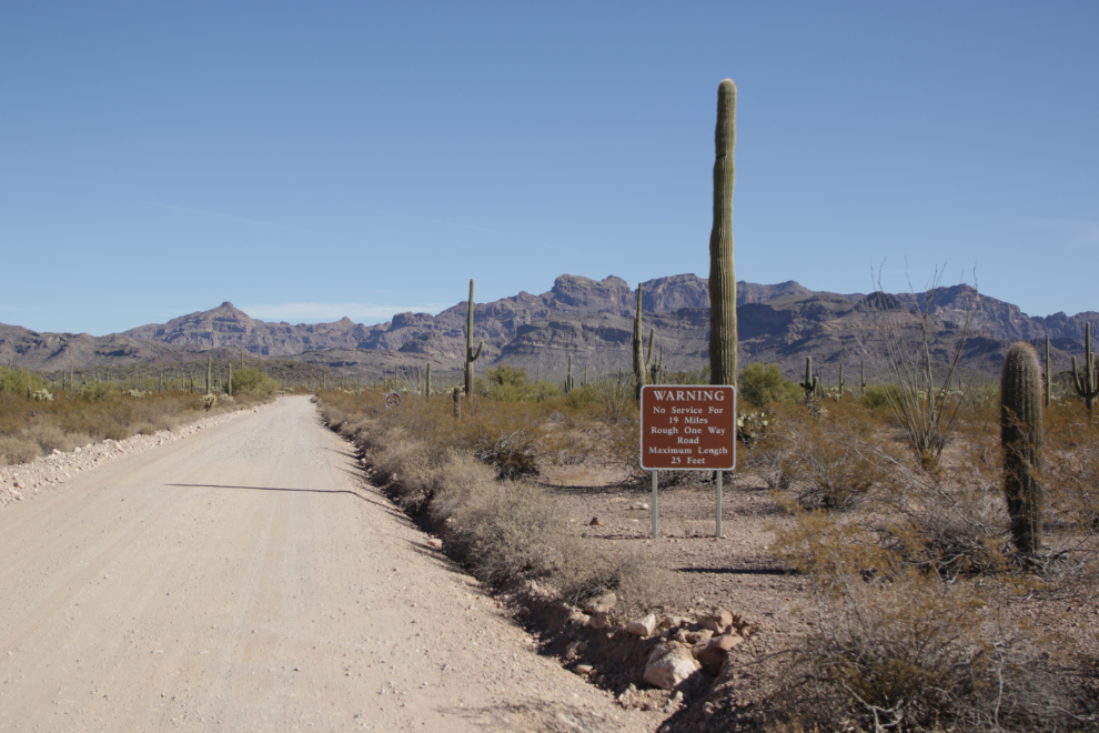
“Warning. No Service For 19 Miles. Rough One Way Road. Maximum Length 25 Feet.” The road to that point was not rough at all, and I saw no reason to think that would change.
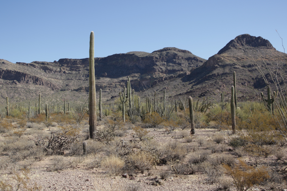
Seventeen minutes from starting, the mountains were much closer
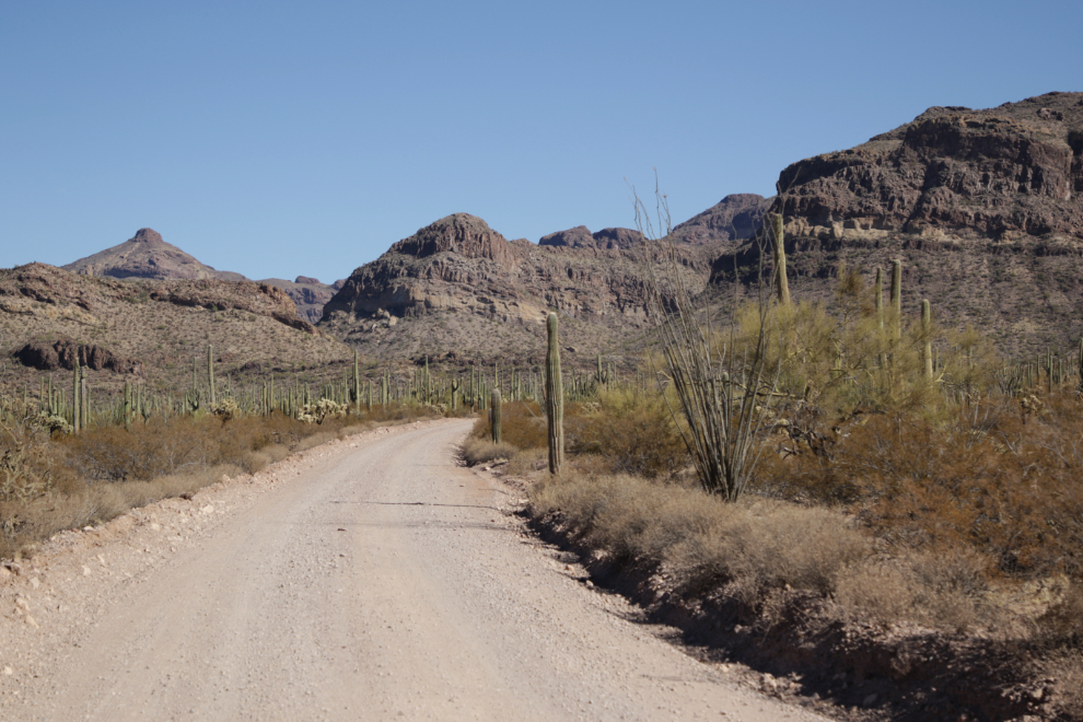
There we go – much better.
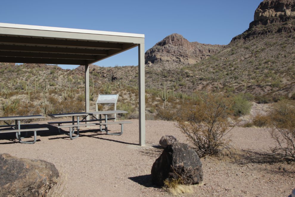
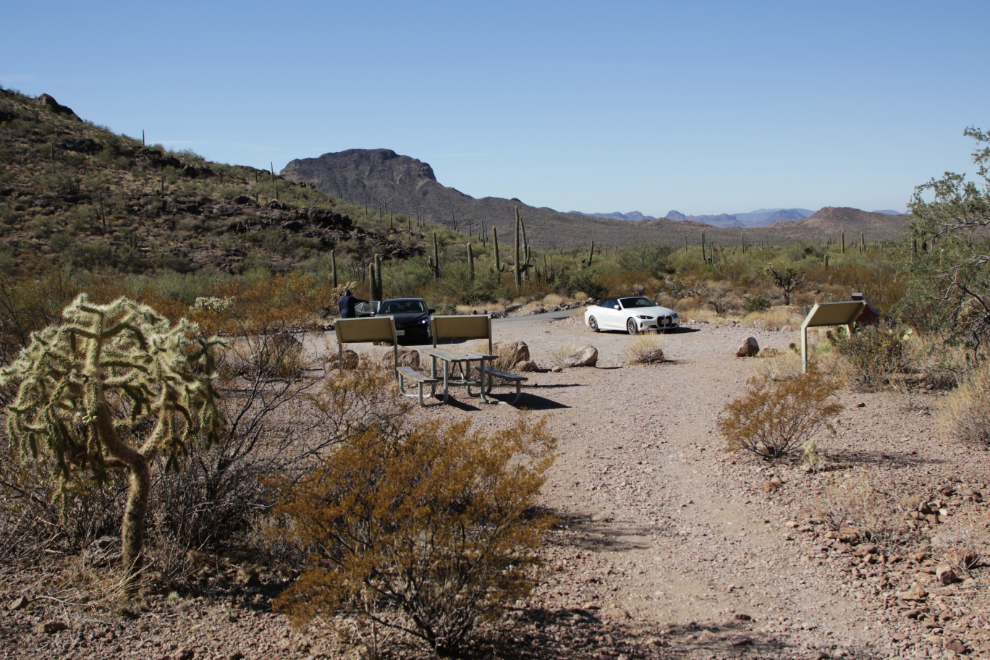
At 11:00 we stopped for a minute or three at a picnic shelter overlooking a dry riverbed.
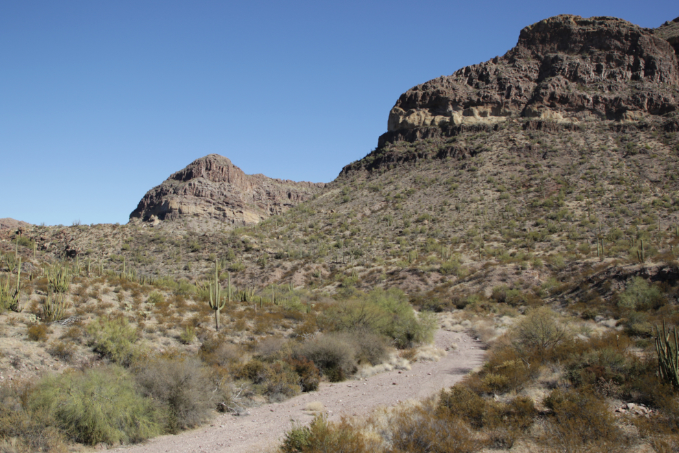
This trail/road leads to a place called Wild Horse Tank, though there’s no sign indicating that.
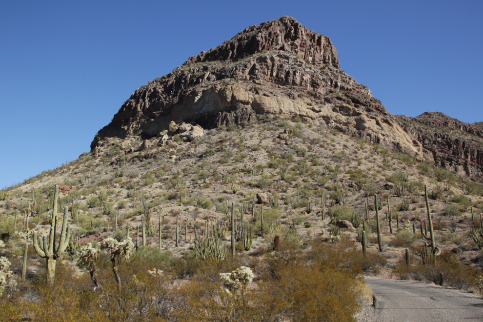
11:06 – the country was getting more powerful by the minute.
11:10 – I’ve run out of words to describe this place. Writing this post brings the feeling of it back strongly, though. Spectacular, yes, but “powerful” is more accurate, I think.
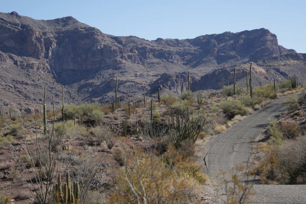
The NPS describes what we were seeing: “The present landscape of the Ajo Mountain Range began to take shape 30 to 14 million years ago (the middle and late Tertiary time) as the crust of the western part of North America stretched in an east-west direction. This stretching created fractures in the crust, and the resulting volcanic eruptions and lava flows created most of the modern landscape you see today.”
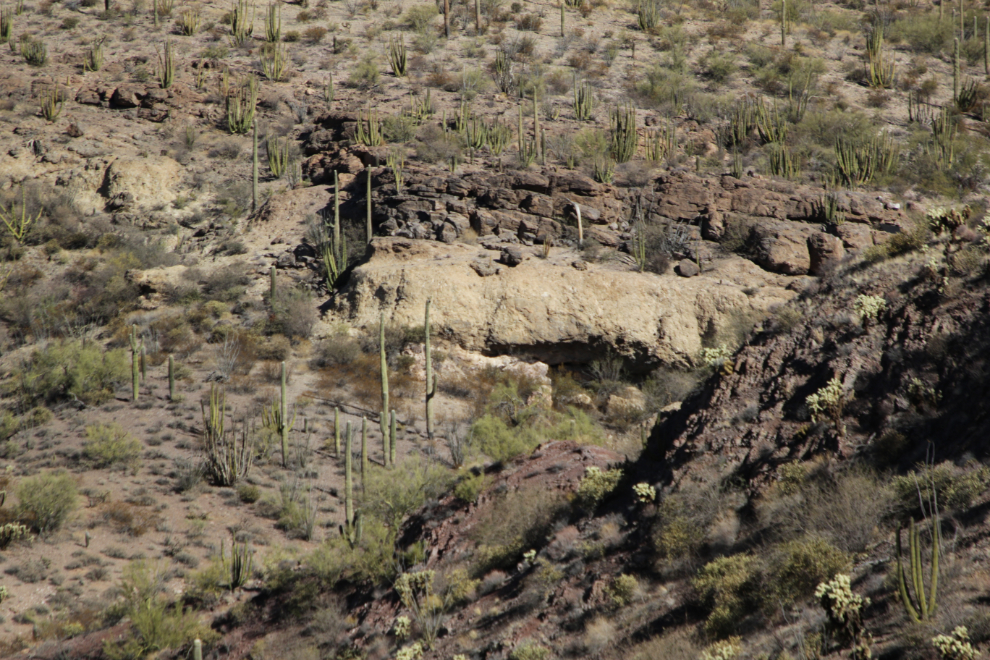
“Most of the reddish-brown rock you see forming the Ajo Range and the double arches is a volcanic rock called rhyolite. When it was molten, rhyolite was thick and gooey like maple syrup. It could not flow far before becoming too cool to move, creating relatively short mountain ranges like the Ajos.”
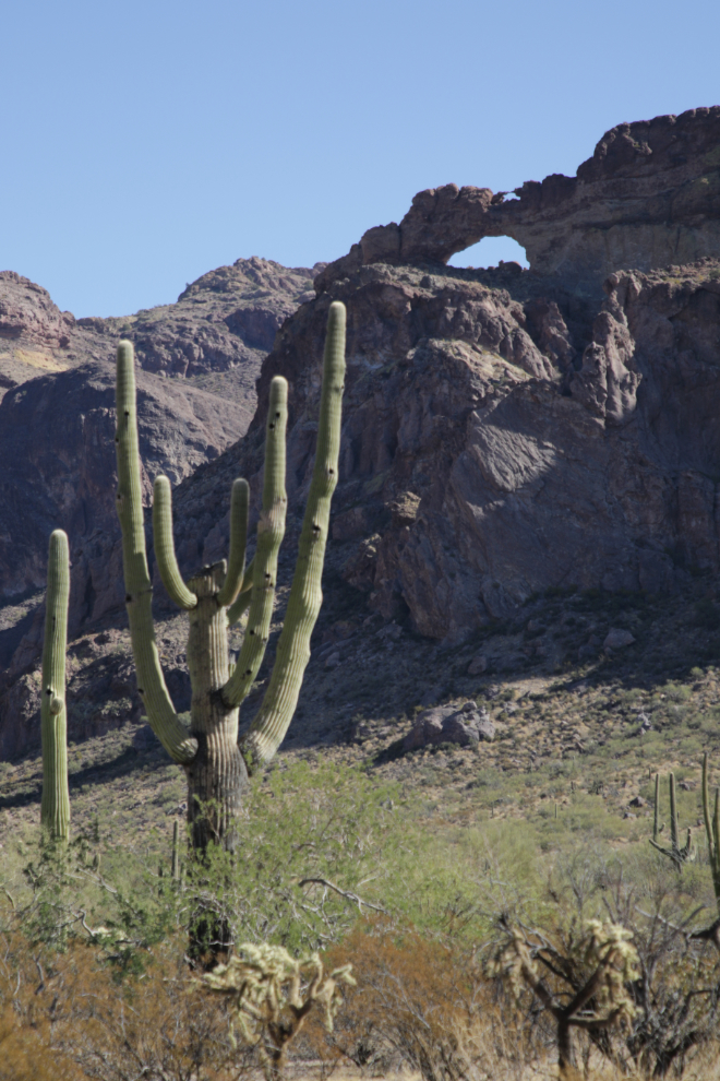
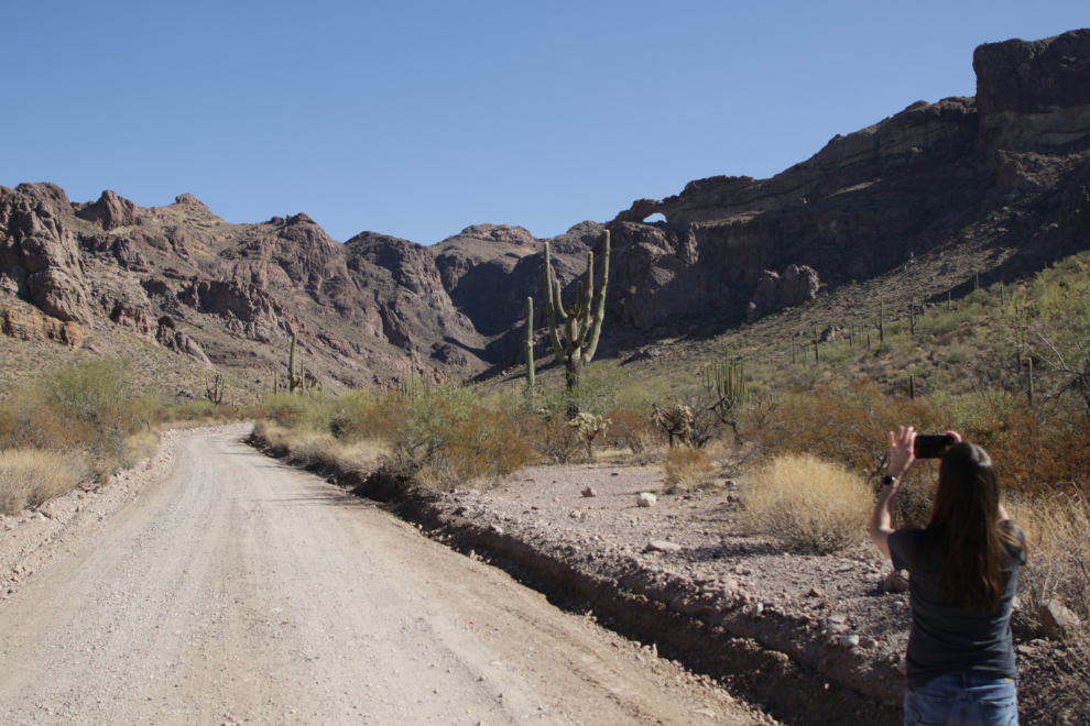
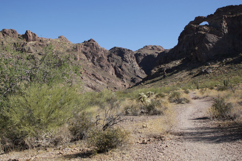
At 11:25 we reached the Arch Canyon trailhead, and quickly decided to go for a short hike (the trail is 1.2 miles round trip).
While the NPS says the trail is “easy, relatively flat,” there are enough ups and downs for a “moderate” rating even on a day with moderate temperatures, in my opinion.
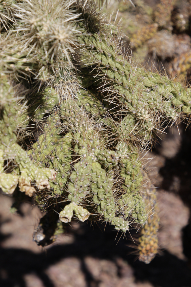
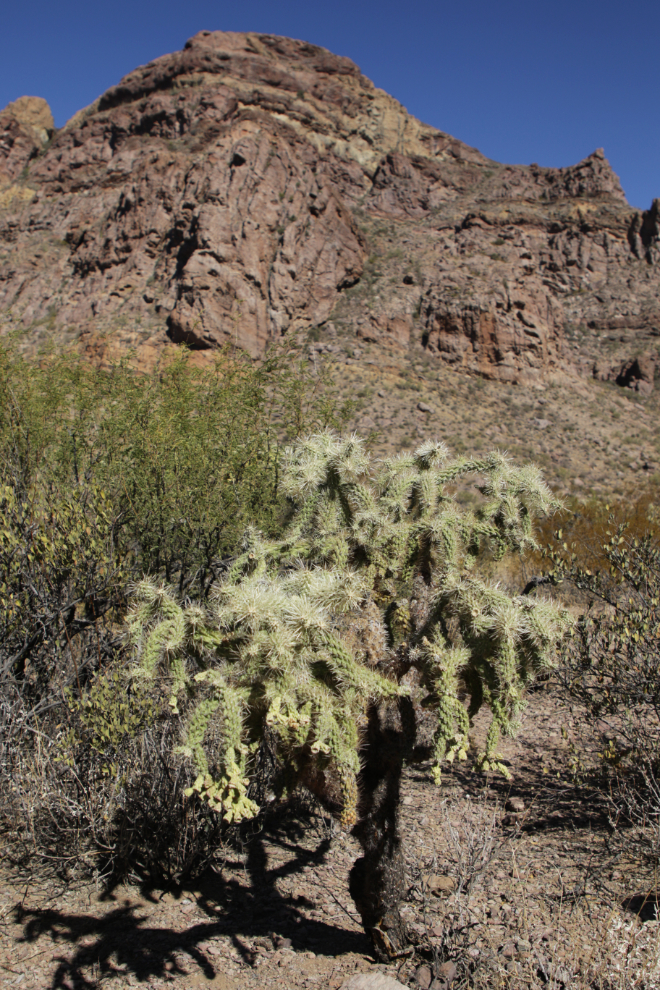
We soon came to a particularly healthy Jumping cholla (Cylindropuntia fulgida).
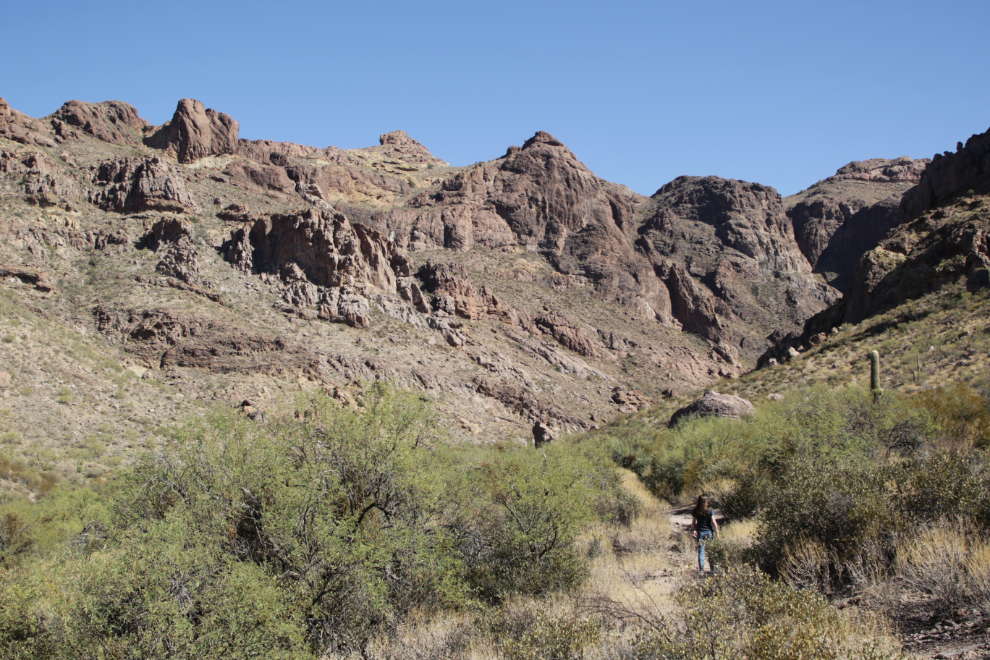
What will we find around the corner??
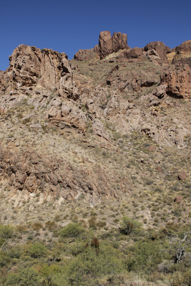
Some of the the shapes above us were incredible.
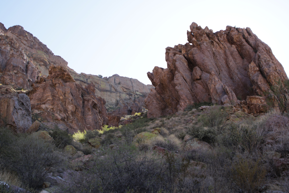
The next photo was shot at 11:48, 23 minutes from the trailhead.
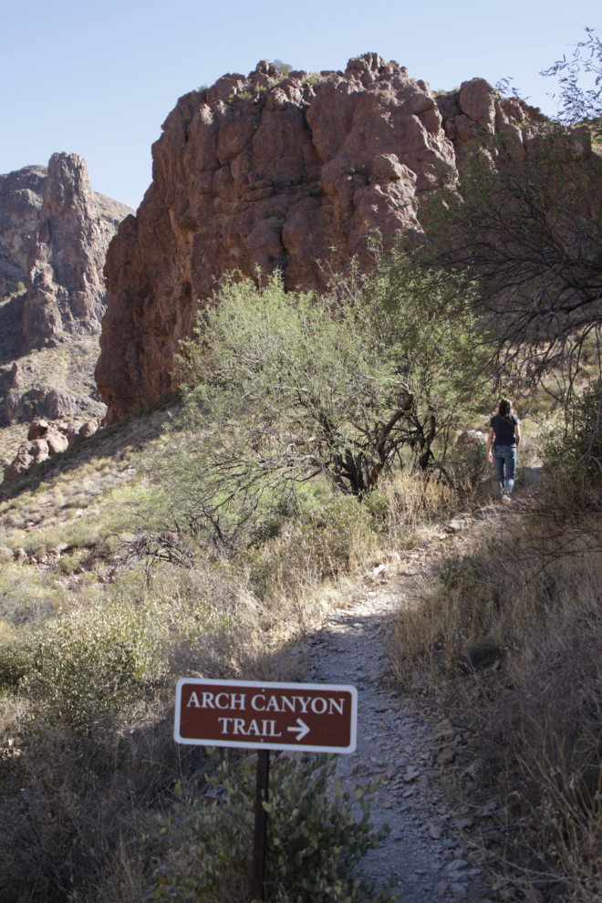
A minute later there was sign confirming that we were on the trail…
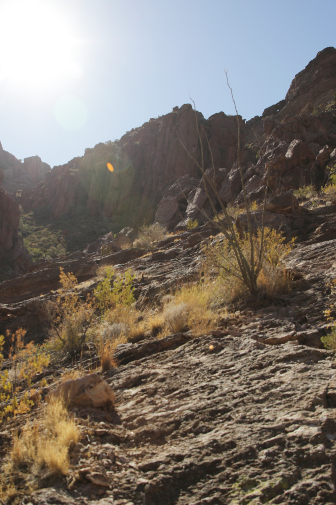
…but a couple of minutes later, the trail quit at the bottom of this steep, unmarked slope of rough rock. I started up, but quickly decided that was not what we wanted to do, so we headed back down.
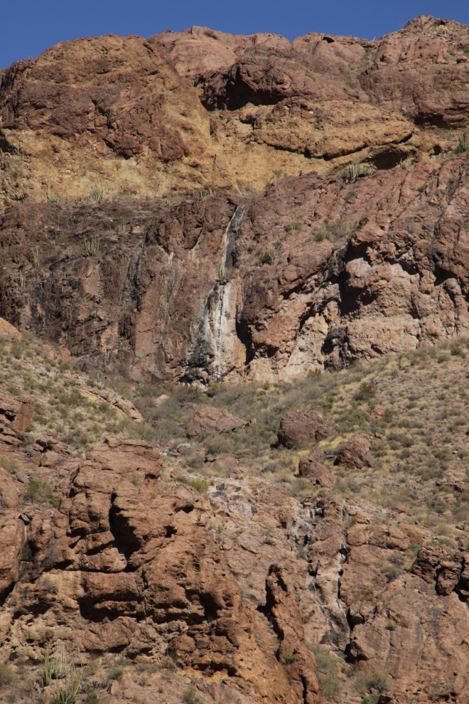
Across the canyon from where we quit, traces of a waterfall that sometimes flows could be seen.
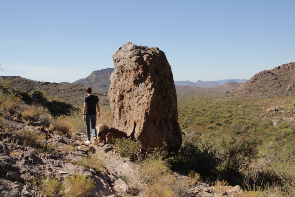
Almost back to the car.
It felt great to stretch our legs, but there was lots more to explore. The Arch Canyon trail is at the northern point in the loop, so we were now headed south. The next photo was shot at 12:17.
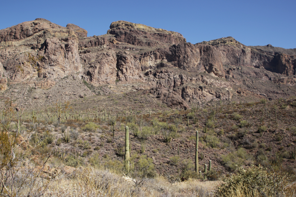
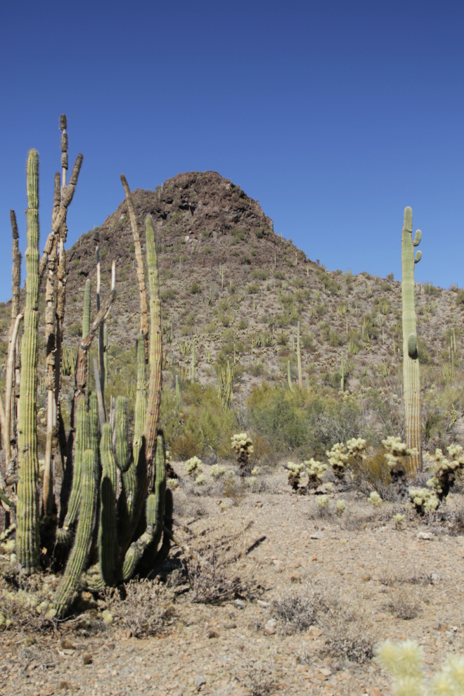
This spot we reached at 12:20 was one of the best for Organ pipe cactus (Stenocereus thurberi).
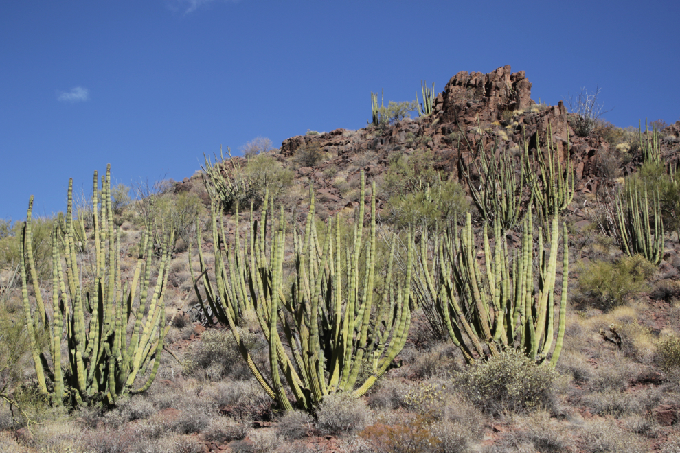
12:22.
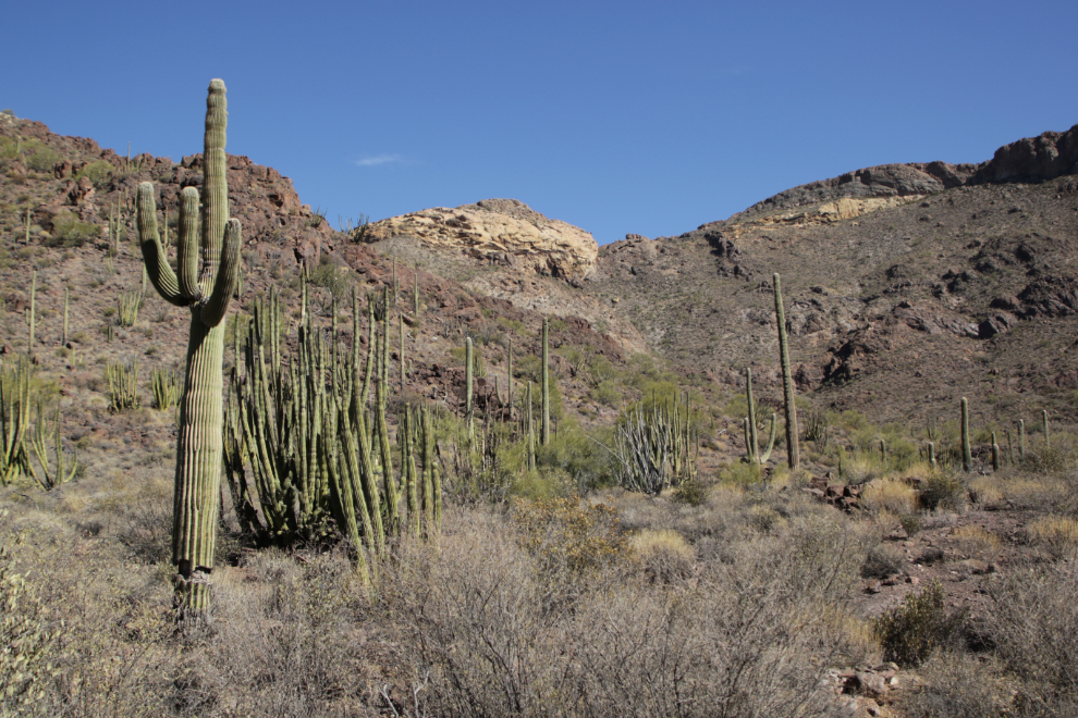
At 12:25 we stopped and went for a short walk among the cacti.
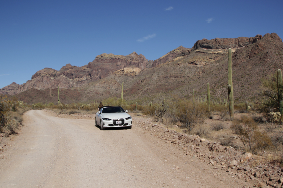
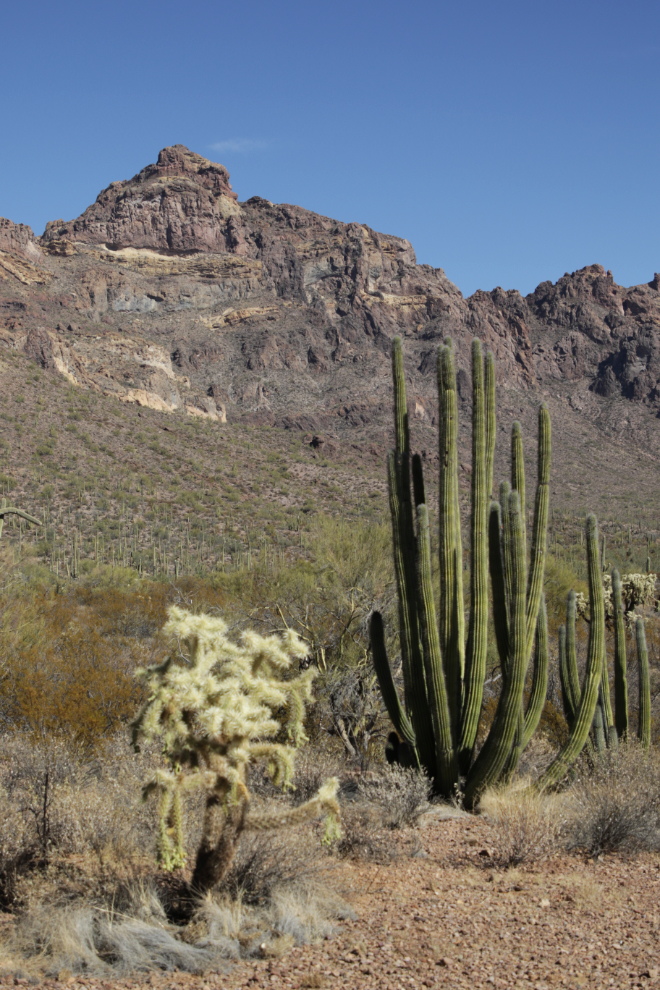
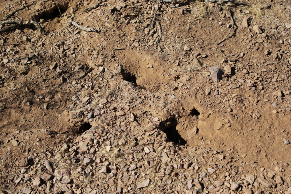
Andrea and I had both been wondering what lives in these rather small holes in the ground, but the ranger here seemed to have never thought about it and didn’t really have an answer that didn’t sound like just a wild guess.
A final shot as we pulled away from the mountains. We spent just under 2½ hours on the loop.
By 1:00 we were back on Highway 85, headed towards the Mexican border, with the temperature at 29°C/84°F.
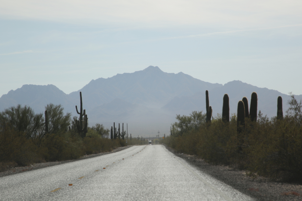
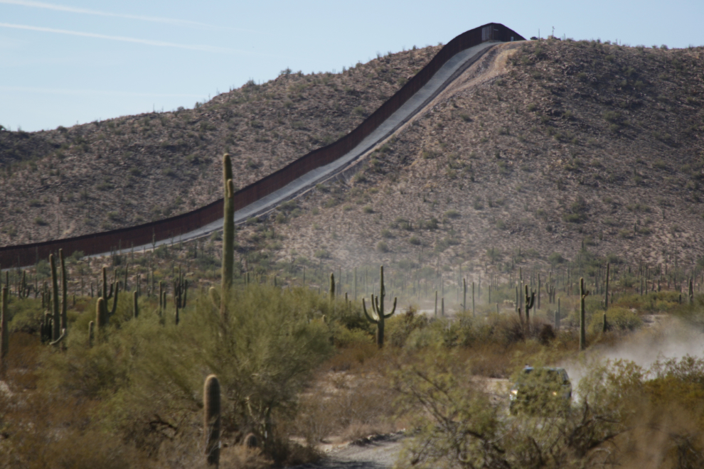
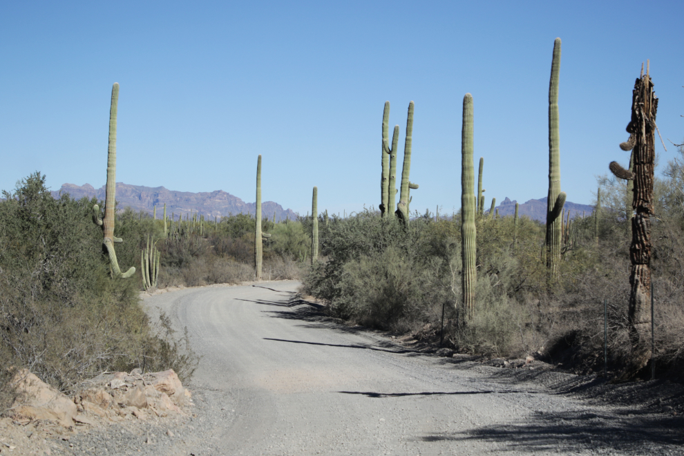
This is what the natural world looks like along Puerto Blanco Road.
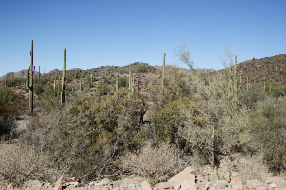
It’s harsh country to be struggling through at night with few or no supplies.
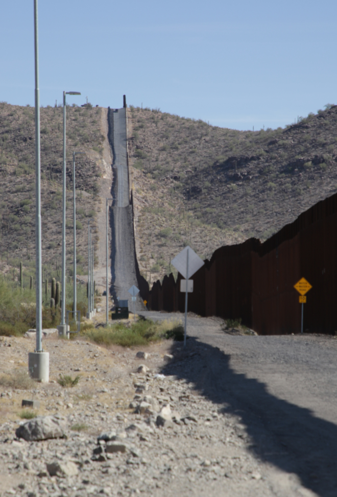
We stopped at this spot for a few minutes to try to process this monument to hate. Perhaps it was more difficult given the incredible country we had driven and hiked through over the past 3 hours. To go from Mother Nature’s beauty to man’s monstrosity…
At the spot we stopped was what I could only understand as a relief station for the many people who do get across the wall.
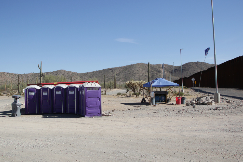
The insulated water barrels are labelled in Spanish, reinforcing my feeling.
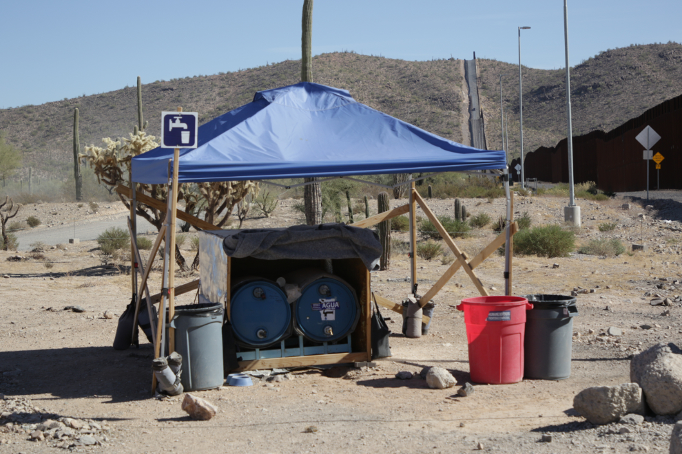
Researching it now, that turned out to be true. The blue flag to the right of the photo of the entire station is the proof (we saw those flags in a couple of other places as well). It was set up by a Tucson group which started in 2000: “Humane Borders operates a series of dozens of permitted water stations in the Sonoran Desert, along the Arizona/Mexico border wall and routes used by migrants making the perilous journey here on foot. Our primary mission is to save desperate people from death by dehydration and exposure, while also working to create a more just and humane border. Since 2000, more than 4,300 men, women, and children have died in Arizona while fleeing violence and poverty in their home countries. Many more individuals go missing and are never found.”
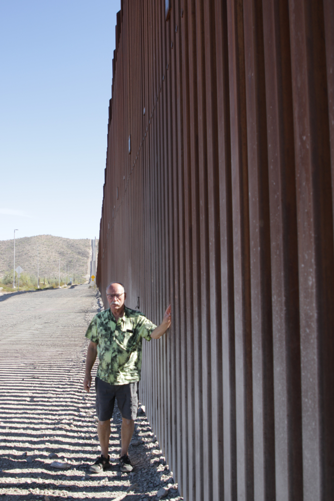
A look down the wall to the west. The wall is 30 feet high. I’ve been unable to find the costs, but it’s tens of billions of dollars just to build it.
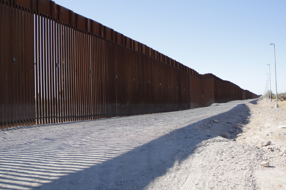
A friend posted a photo of what the border looked like just west of this spot in 2017 (thanks, Kevin!). The two reports I’ve looked at both say that the new wall’s reduction in illegal crossings is minimal.
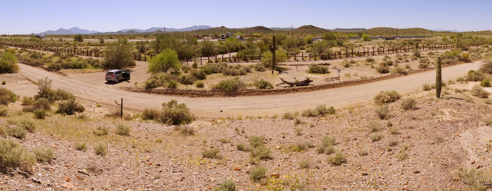
A final photo before pointing the car towards Tucson.
Driving back towards the highway.
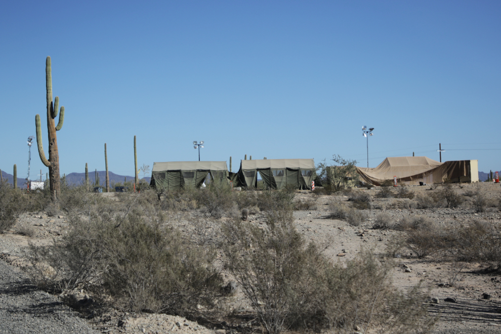
I don’t know what to make of this camp along the road. It has a military feel to it, with lots of high-powered lights, but there was nobody around.
Andrea has never been to Mexico, so stuck her hand through the wall! So close…
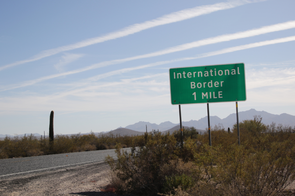
On Highway 85 headed north at 1:40.
