An e-bike wander around northern Whitehorse
Back in mid-May I did a 33.5-km wander around the southern part of Whitehorse by e-bike. Last week (August 23rd) I did a similar wander around the northern part of town.
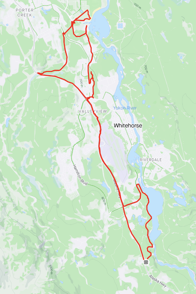
This route was 40.2 km – you can see details on my Trailforks page.
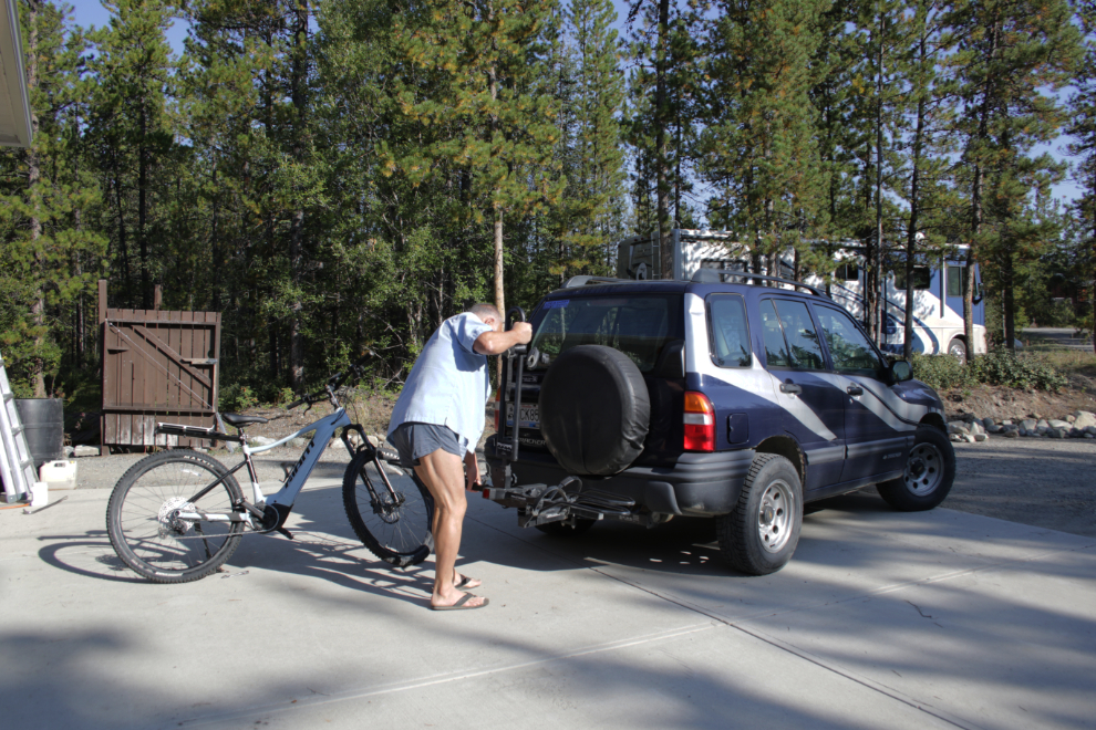
Once again, I started with a few miles of vehicle assist. The first step was to mount the rack on the Tracker.
On the drive towards town I changed my planned starting point to the start of Miles Canyon Road, adding a few very interesting kilometers to the ride.
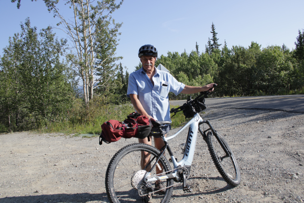
At 11:20 I was ready to get started 🙂 I’ve recently added a small luggage rack to the bike to get my daypack off my back – it mounts on the seat post.
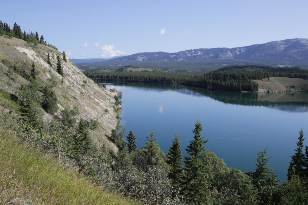
The views across Schwatka Lake from the Miles Canyon Road were wonderful this morning, with only a few ripples on the water.
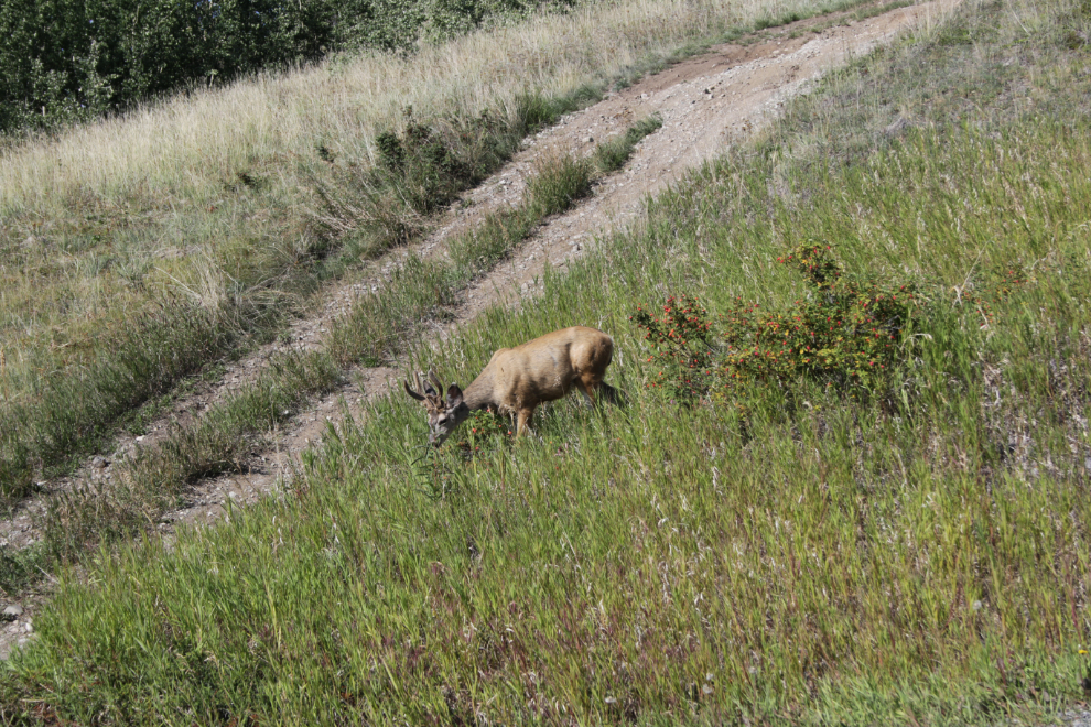
A few mule deer were grazing beside the road. Not coincidentally, multiple people reported seeing a cougar a few miles away the previous day. Cougar sightings are extremely rare here but they’re being drawn north by the deer that arrived a few years ago – well I suppose it’s quite a few years now.
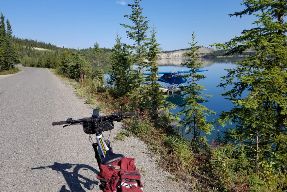
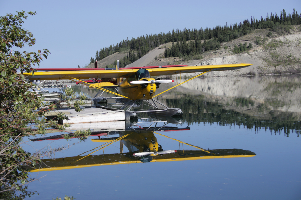
The float plane base was a big part of the reason for choosing Miles Canyon Road to start my day.
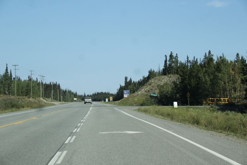
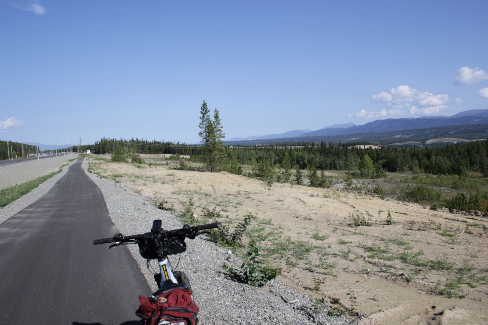
From the end of the Miles Canyon Road I climbed up to the Alaska Highway. I had written out a route that I’d like to follow, and had it handy in my pocket – the top of the hill is where it began, as I had initially planned on parking the Tracker at the rest stop there. The next photo shows a new trail along a rebuilt section of the Alaska Highway. It’s paved, has some hills, and the views are broad and excellent.
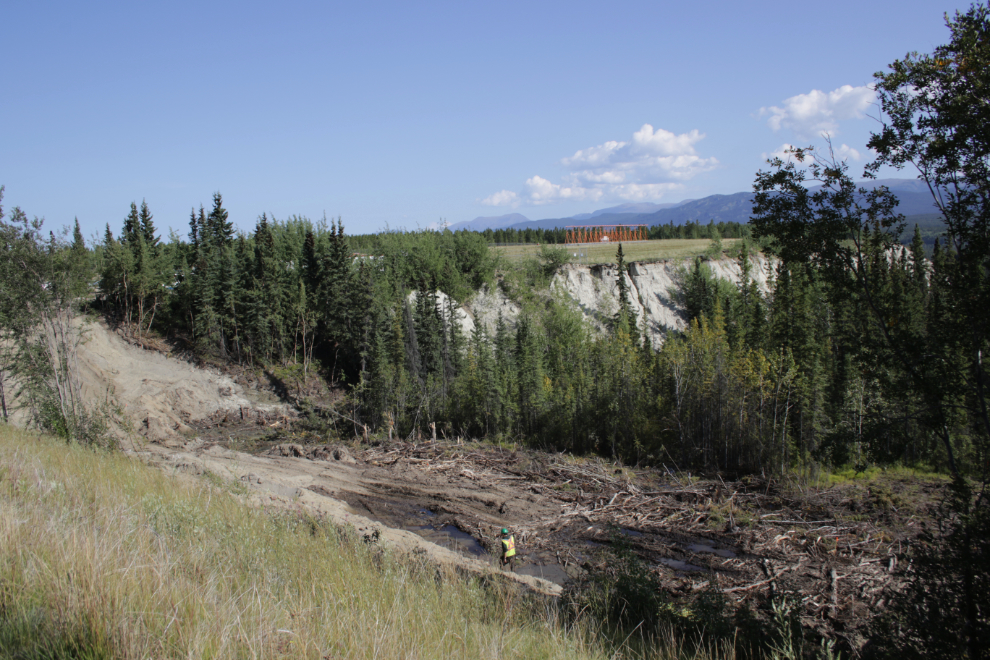
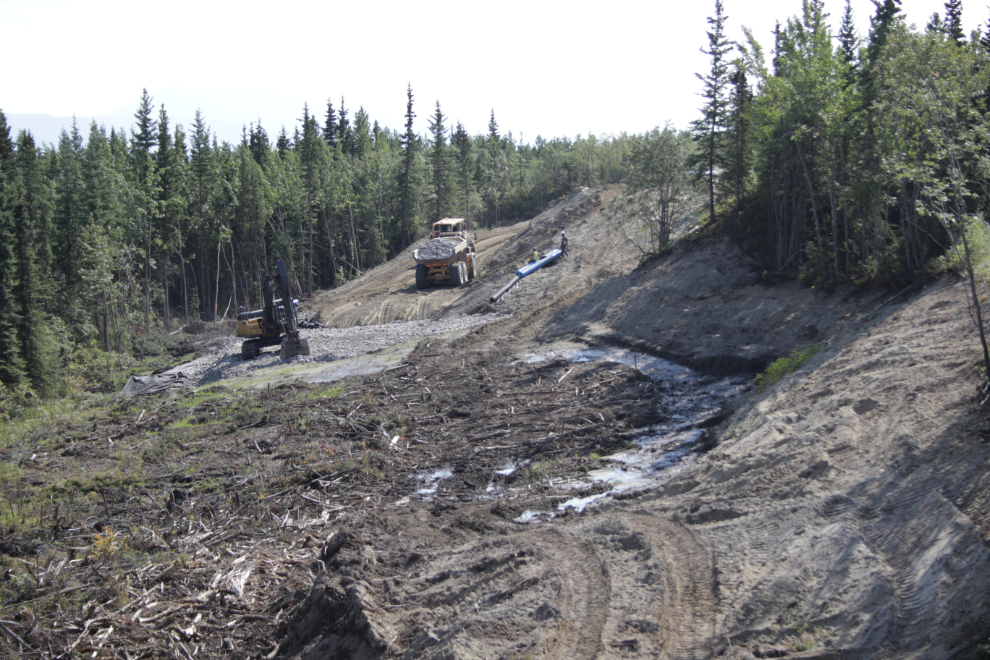
There’s some heavy construction going on at the west end of the airport, filling in the head of Spook Creek. They seem to be relocating a large sewer line there.
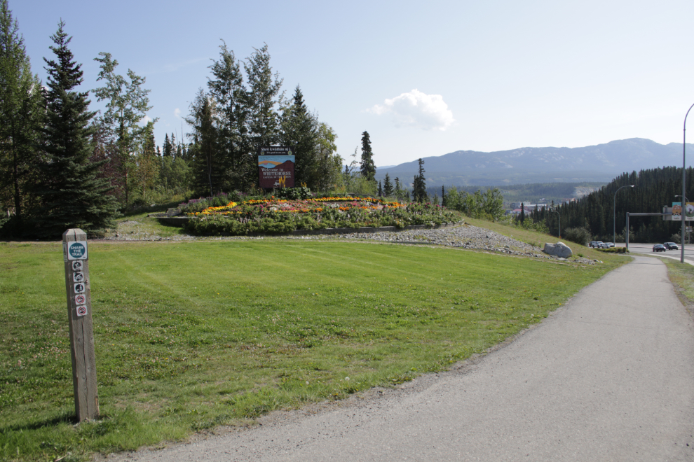
At 12:20 I reached the spot where I could start riding off the roads. The Sage Trail begins just above the “Welcome to Whitehorse” sign.
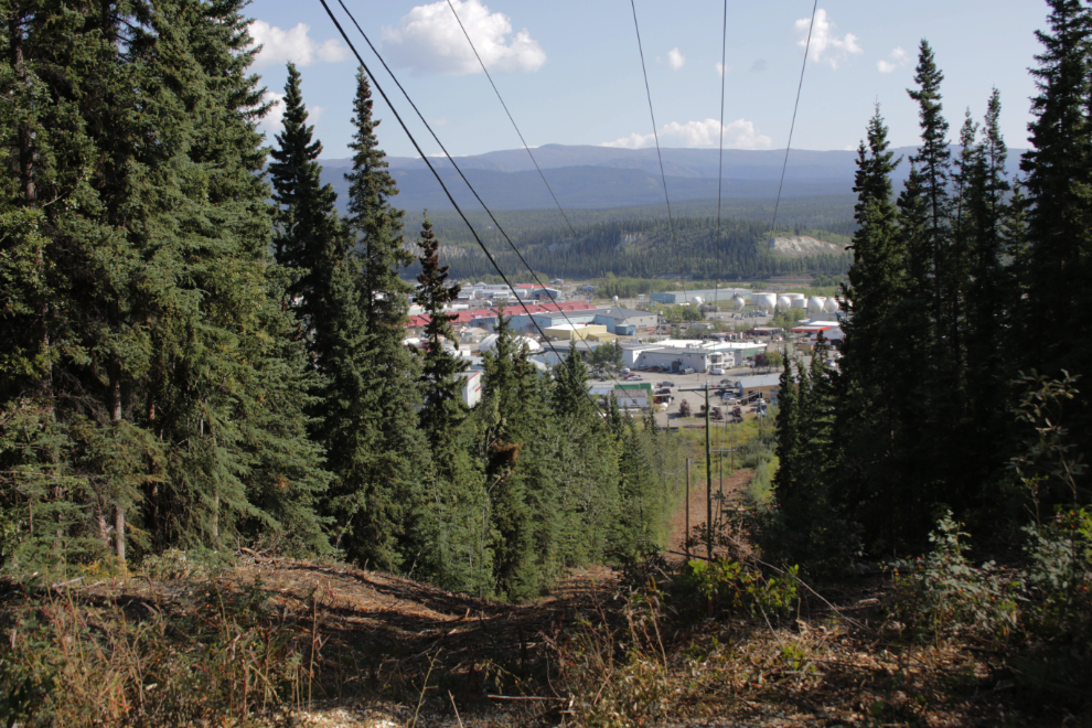
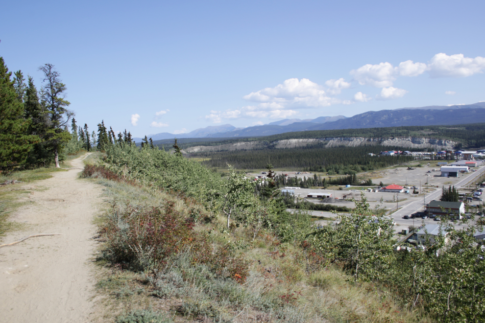
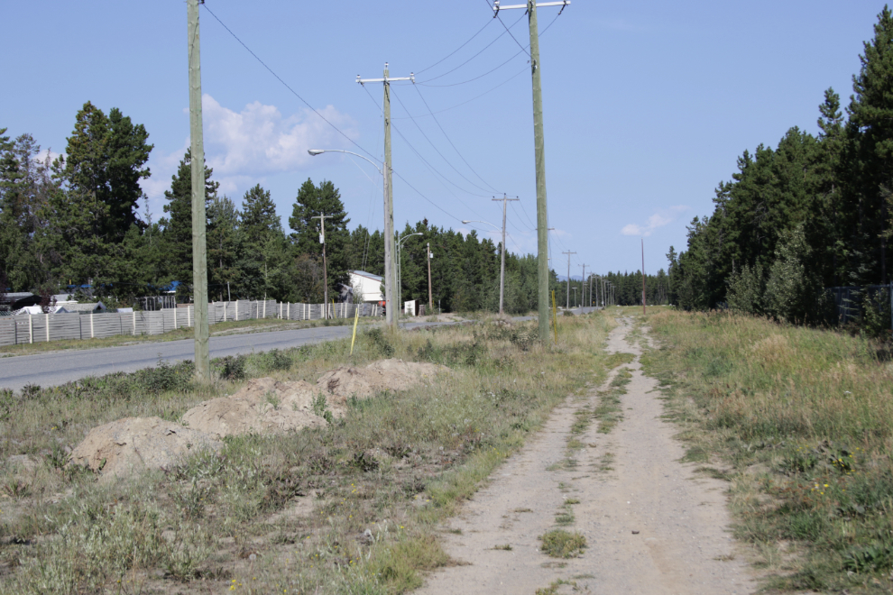
The Sage Trail runs above the Marwell industrial area – some of the views are brief, as in this powerline cut…
…but there are also some broad views.
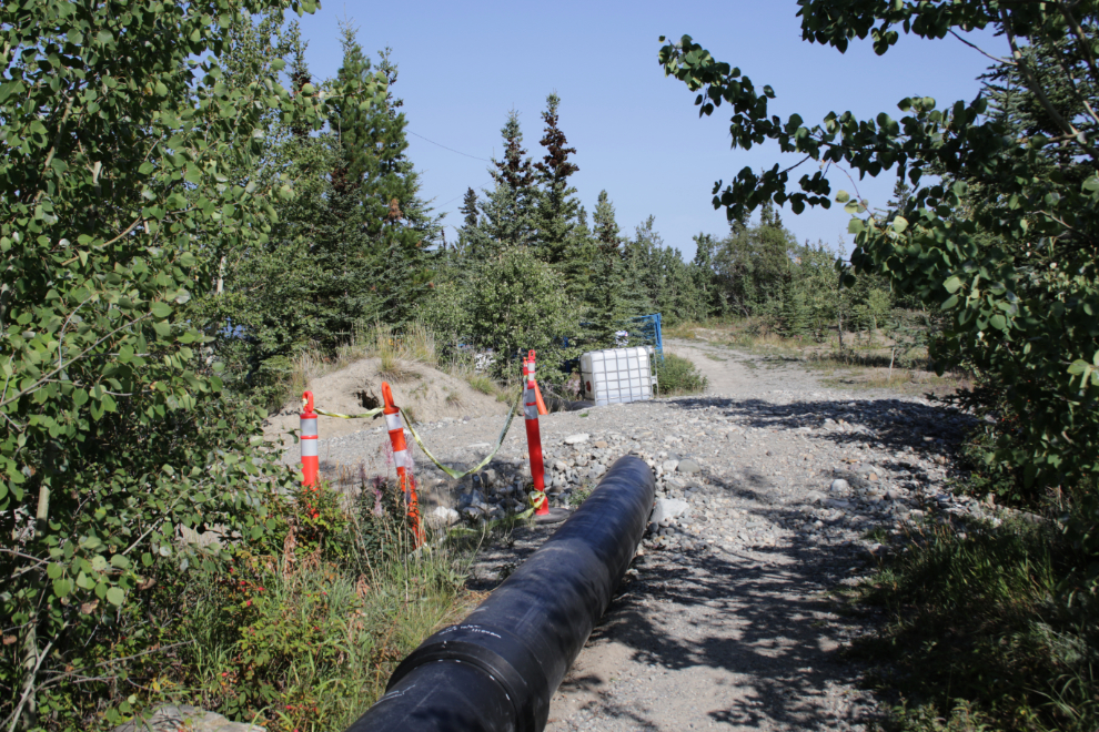
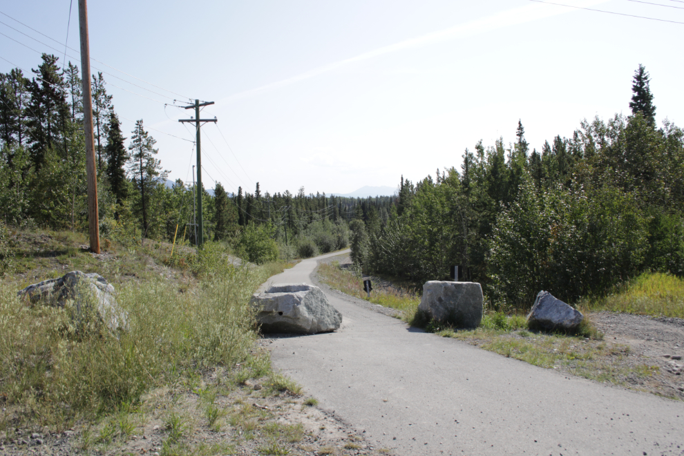
At 12:30 I came to another sewer line project, and a minute later the trail was closed. I knew about the project but though Range Road was closed to vehicles there was supposed to be foot and cycle access through the construction. I could find no such access.
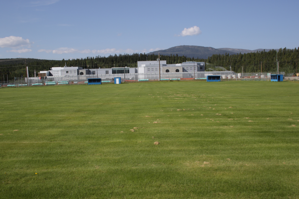
From the end of the trail, a look at two extremes of life in Whitehorse – the nicest softball field in town, and across Range Road, the Whitehorse Correctional Centre.
I eventually found a way to continue, but this was the start of my day going downhill. My brain injury has been giving me a lot of problems for months now – that’s why I haven’t been doing much or blogging much (and why it’s taken me a week to write up this ride). It’s hard enough to come up with a Plan A – if that falls apart so does my brain.
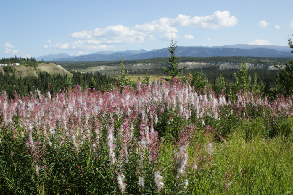
The way through took me onto the blind side of a big piece of equipment, but I powered through. Just past that, I stopped to get some photos of a particularly thick field of fireweed gone to seed. Although the thermometer says it’s summer, the fireweed says snow isn’t far off.
I seem to have now forgotten about the route I had written up, because this trail along Range Road wasn’t on it – I should have been on a single-track through the forest above the river. I knew where this one would lead, though, having driven beside it many times.
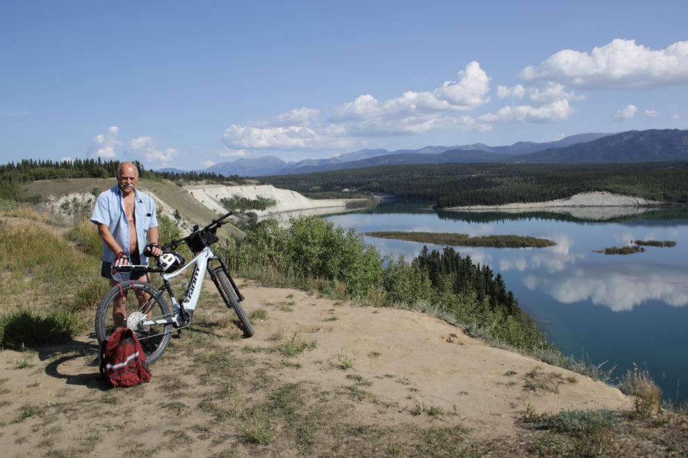
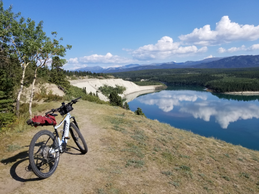
That took me to the old Range Road dump, now cleaned up and a popular walking spot because of the wonderful views over the Yukon River and McIntyre Creek. It might be a good aurora viewing location as well, though the lights in the Whistle Bend community behind to the left might ruin it.
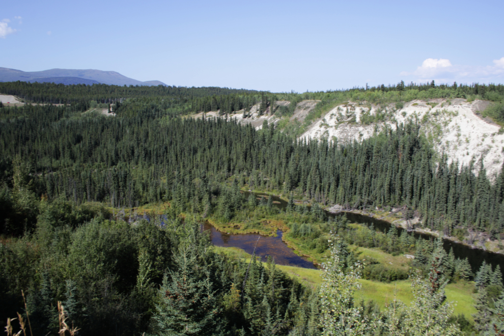
McIntyre Creek.
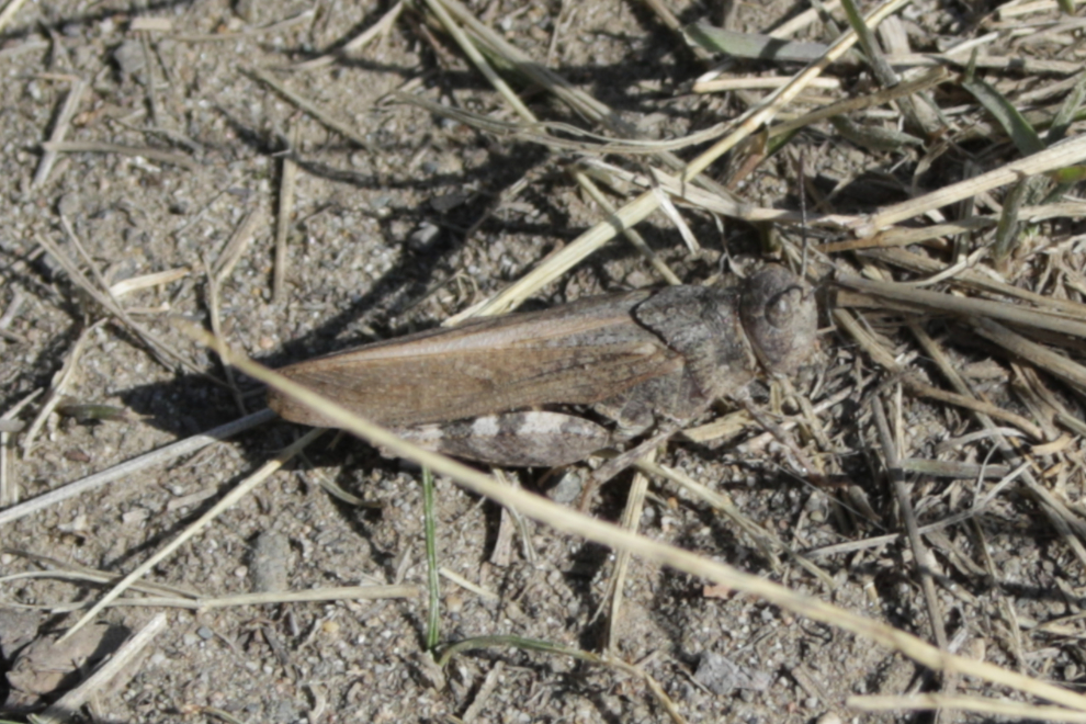
I somehow spotted this well-camouflaged speckle-winged rangeland grasshopper (Arphia conspersa) in the grass there. A Yukon biologist I follow on Twitter identified it for me (thanks, Syd!) 🙂
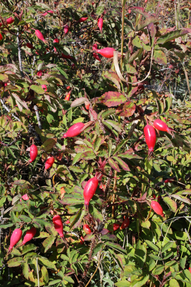
Rose hips add a nice little flash of colour now.
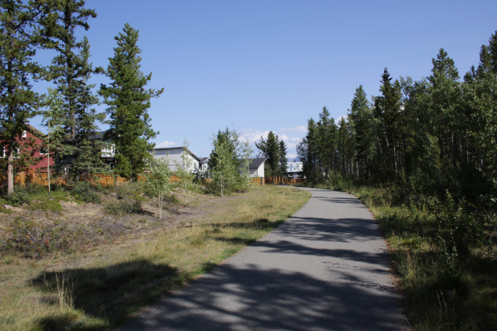
This part of the Whistlebend Perimeter Trail wraps around the southern part of the community. It was now 1:12 pm. This wasn’t the sort of riding I wanted, so I back-tracked a bit and found another narrow dirt track.
There are some nice views from this trail, which is called Caboodle, but it’s only 1.5 km long.
I somehow got off Caboodle, reached a dead-end, but made my way back to the Whistlebend Perimeter Trail. By then I was really tired, and I would have happily paid someone $30 to get me back to my car.
On the Whistlebend Perimeter Trail, I saw a young guy walking ahead with two dogs off-leash – he was on the trail, they were 15-20 feet off to the side. As I rode slowly by the guy, one of the dogs came charging over, and bit me on the ankle! Didn’t break the skin but hurt and left a mark. Dealing with that was far beyond my abilities at that point and I kept going.
The next photo was shot at 1:44. I don’t really know where I was, I was just riding in the general direction of the Alaska Highway.
Some muddy sections showed that I was on the network of trails along McIntyre Creek.
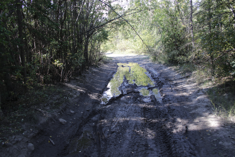
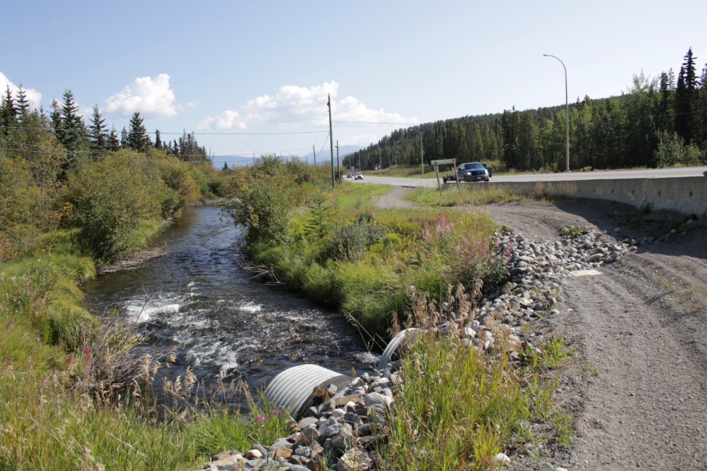
I soon reached the Alaska Highway where McIntyre Creek flows under it in a pair of culverts.
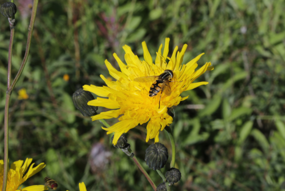
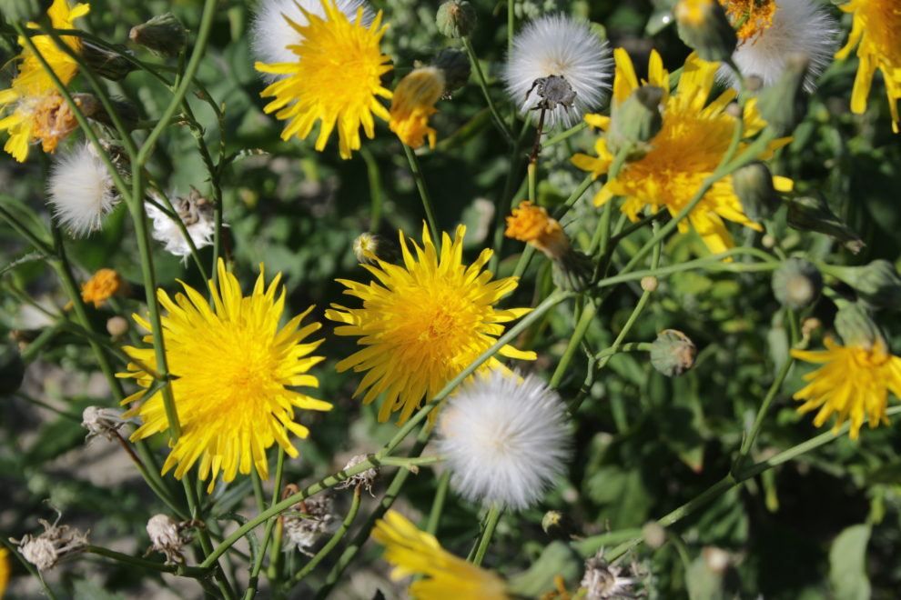
The noise of the highway traffic really bothered me and I could have used my noise-cancelling headphones, but since they weren’t available I tried to distract myself with some great flowers along the road. With help from my Facebook friends, I learned that this is the invasive Perennial sow thistle (Sonchus arvensis) with a hoverfly on the blossom.
Back at the airport sewer construction – from this angle I could see them dealing with the water that creates Spook Creek, with a rock drainage channel.
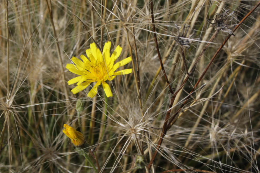
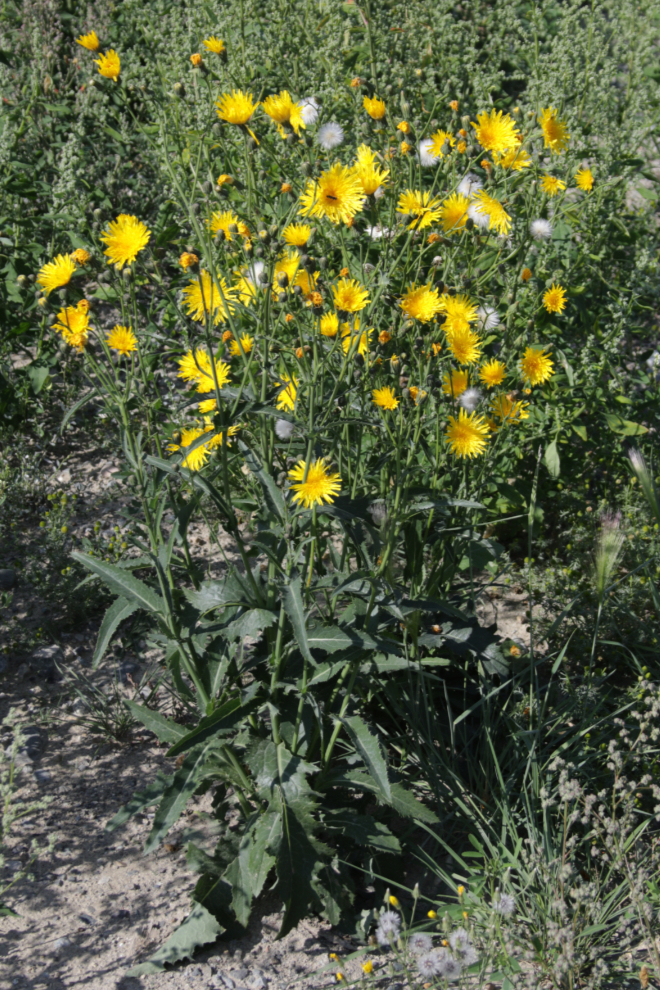
From there back to the car I only stopped to photographed flowers, most of them along the highway near the weigh scales. This is Tall hawkweed (Pilosella piloselloides), another invasive.
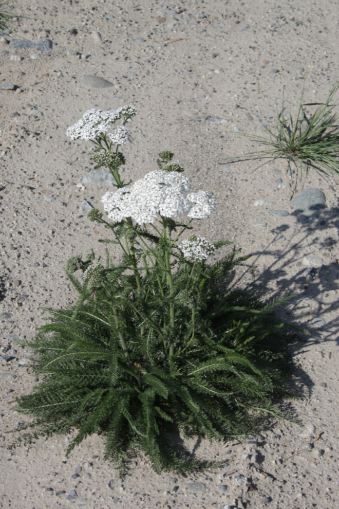
This is a lovely specimen of yarrow, sometimes called Northern yarrow or Siberian yarrow (Achillea millefolium).
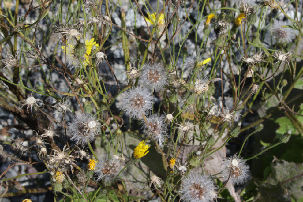
To finish this post, two more photos of a particularly lush Perennial sow thistle (Sonchus arvensis).
While I won’t try to repeat or correct that ride, I’ll do small parts of it again – in fact today I’m meeting a friend and her son to ride a couple of trails at Whistle Bend.
It is always good to get out, sad that you got accosted by the dogs…and that you did not at that point have the steam to lambaste the nearby owner…
If I go back there I’ll have bear spray handy and will be watching for that specific dog so I have it in my hand and armed.
Nicely done (except the damn off leash dogs, why are people so stupid?)
A biking friend who lives there says she never rides that trail because people use it as an off-leash park.