A hike to the Kluane Ice Cave
Deep among the spectacular peaks to the west of Haines Junction is an ice cave that first became public knowledge in 2016, and has been getting an ever-increasing number of visitors. Recent warnings to stay away because it’s collapsing prompted me to post a hike on a local group’s Facebook page, and on Thursday, February 28, 7 of us met in Whitehorse and headed to the trailhead.
For easy reference for other hikers, here are the Kluane Ice Cave trail stats according to my Garmin inReach:
Start: Elevation: 2,502.46 ft.
Lat: 60.814380 Long: -137.718065
Ice Cave: Elevation: 4,186.15 ft.
Lat: 60.812685 Long: -137.823701
Distance (round trip): 7.66 miles (12.3 km)
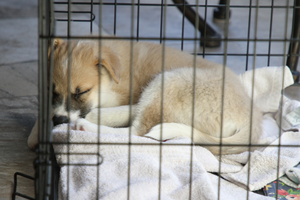
I’m down to one foster rescue puppy now (Catalina), and Cathy would come home at noon to let her out for a walk, so the day was free and the weather forecast was glorious.
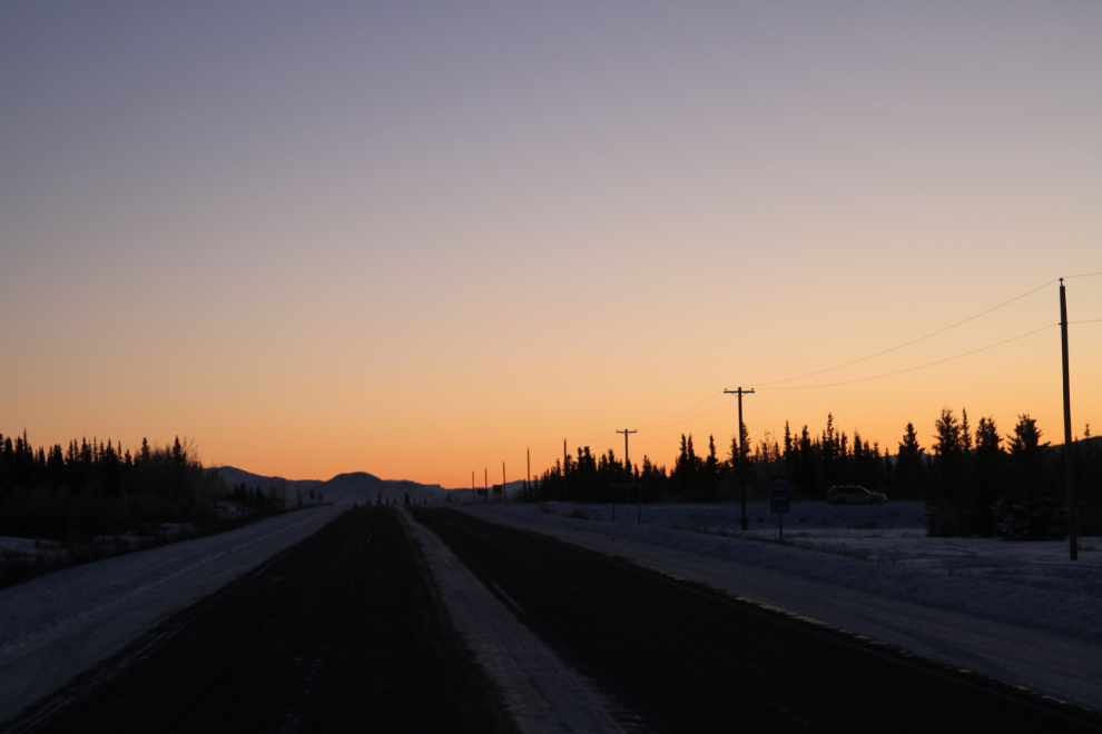
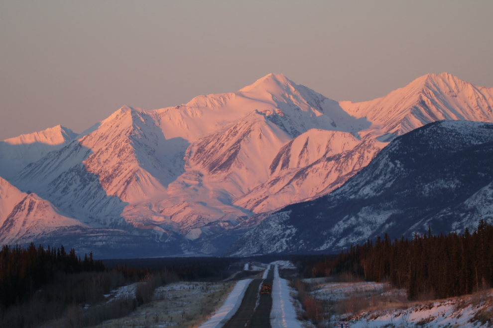
We met at 07:00 so we’d have a great view of the sunrise, which would be at 08:04 officially. The next photo, looking back towards Whitehorse, was shot at 07:39.
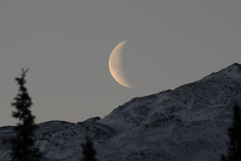
We made a couple of stops to photograph the moon as it was setting, and at 08:02 I got the shot I was looking for. This was shot with my Canon 100-400mm lens and then cropped to about a 1000mm equivalent.
As the colours got more and more beautiful, I made more and more photo stops, and soon the other hikers’ vehicles had all passed me.
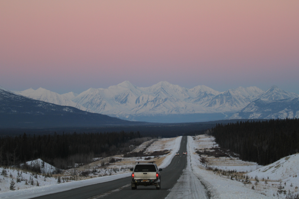
I have many photos of this section of the Alaska Highway, but when the sun lit of the peaks ahead, I added a few more during several stops 🙂
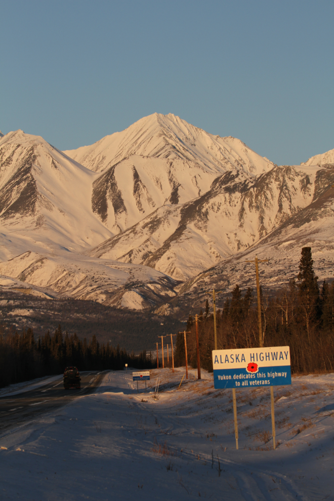
I made a U-turn to get this photo – it was perfect light and the perfect background for the sign dedicating the Alaska Highway to veterans.
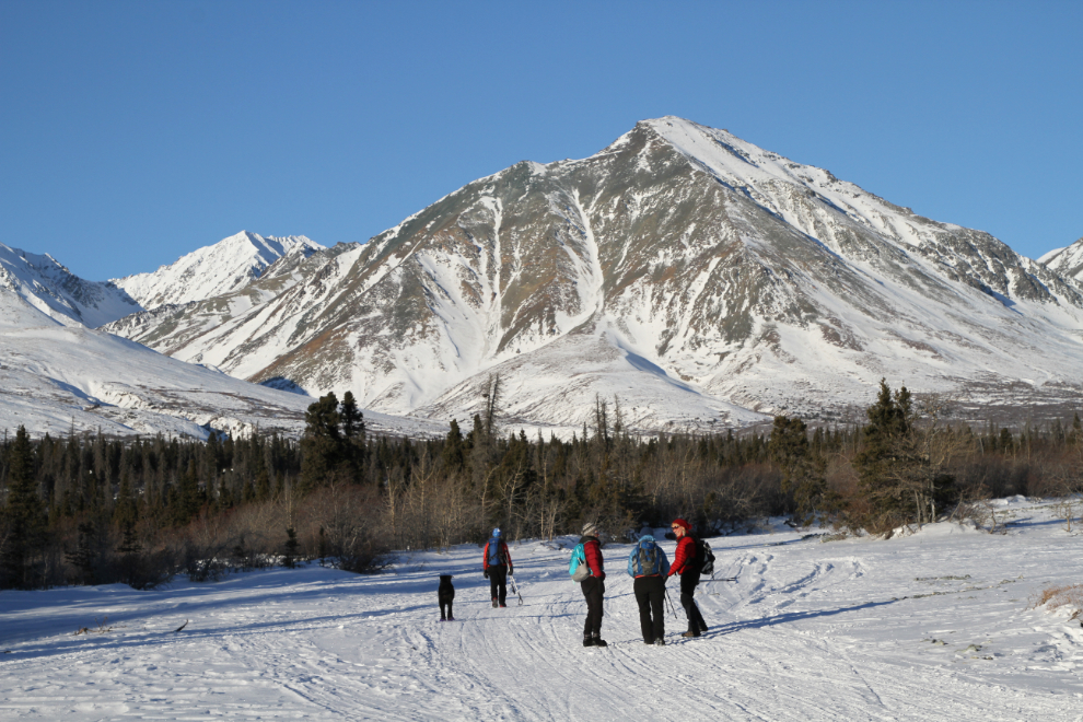
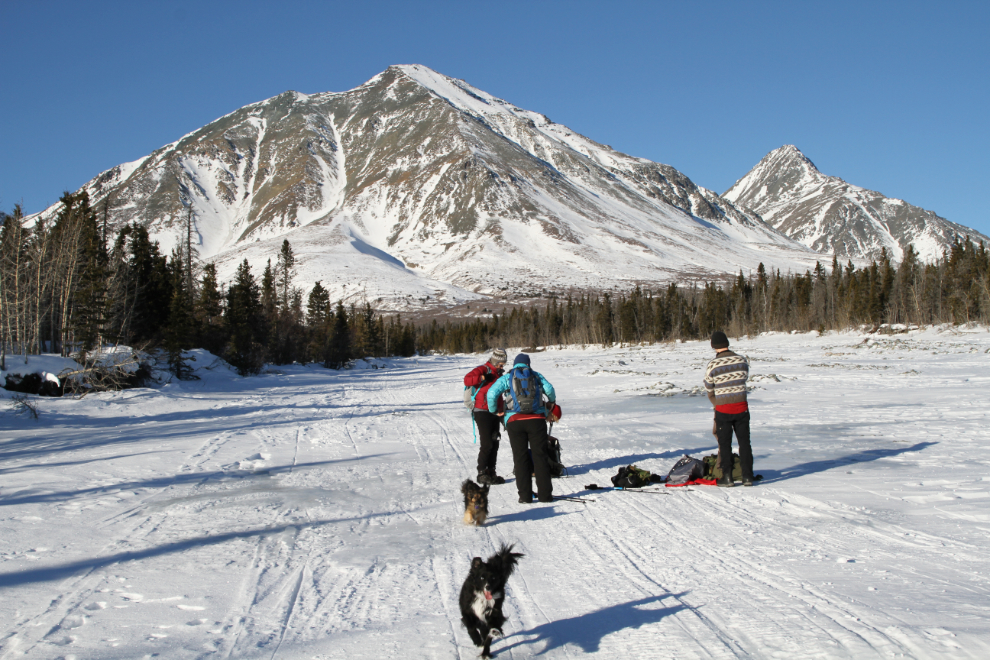
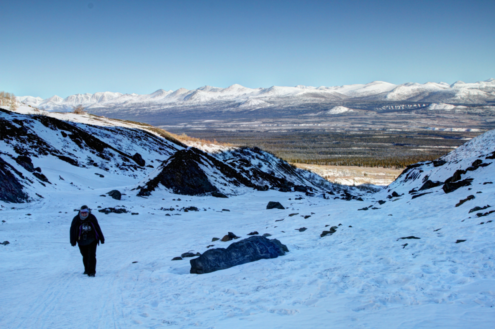
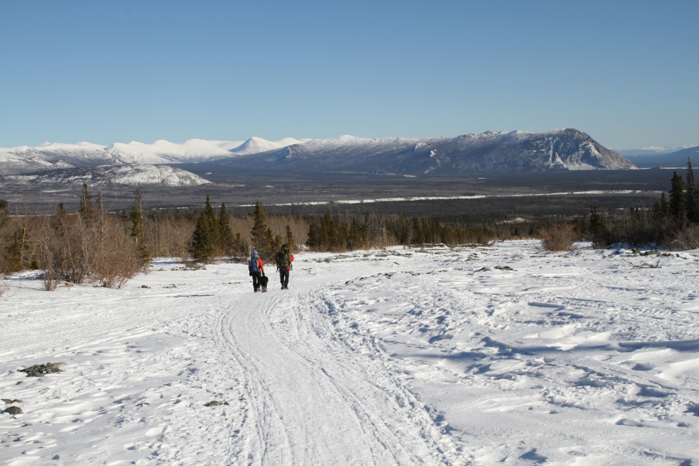
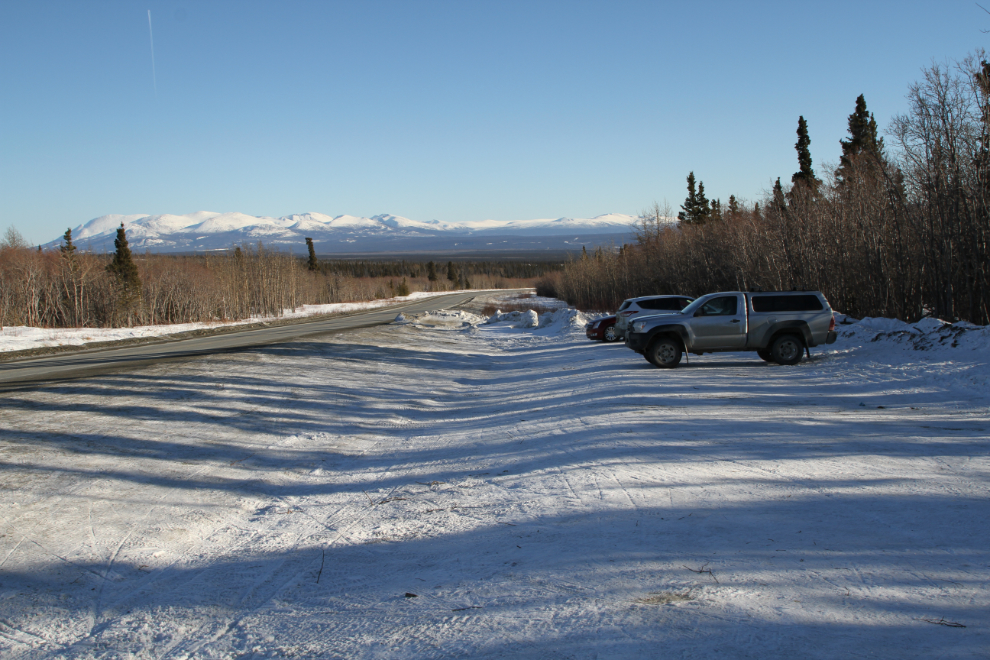
We reached the trailhead, 13 km west of Haines Junction, a couple of minutes before 09:00, and were soon on our way up the very well-travelled trail. A rustic parking area has been graded along the highway shoulder, as I’ve seen as many as 30 vehicles lined up along the highway on a nice weekend. Our group members were the only ones there this day, though – as I had hoped when I planned the mid-week hike.
The trail begins by wandering through a scrub forest. Snowmobiles have packed the trail nicely.
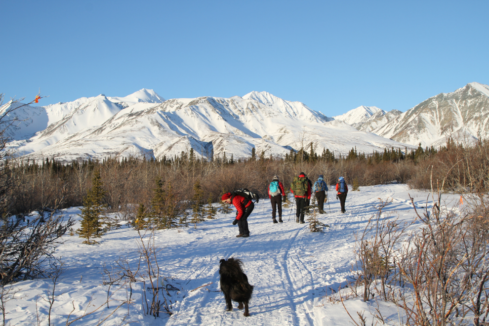
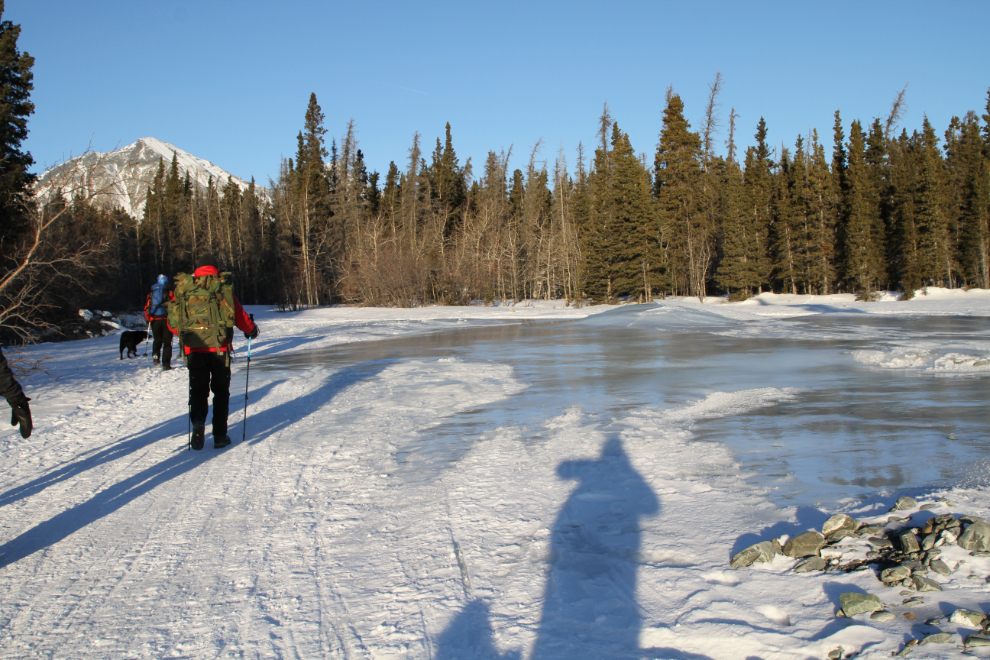
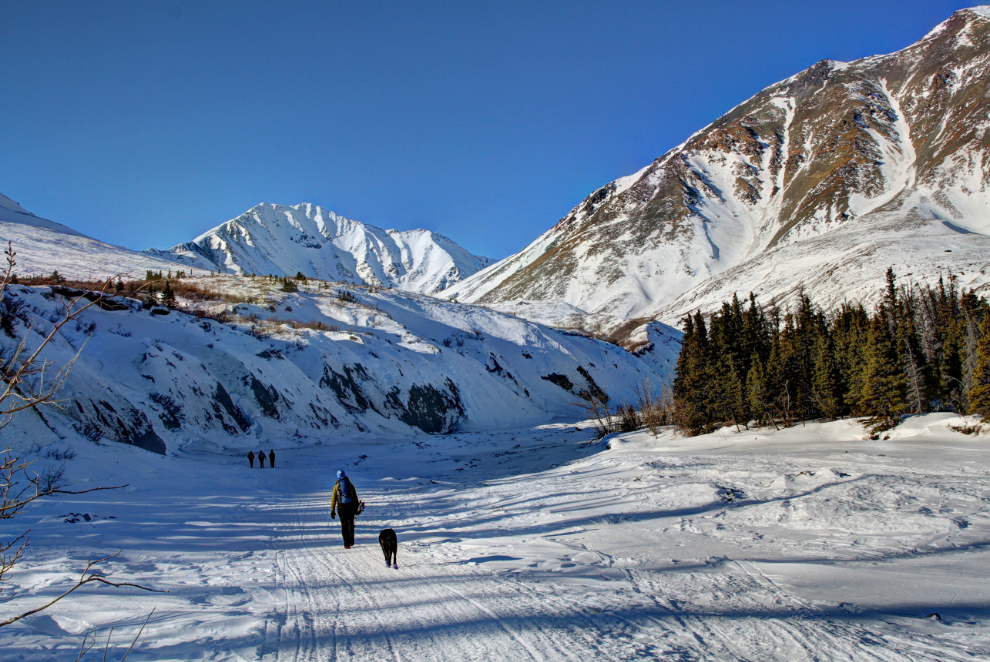
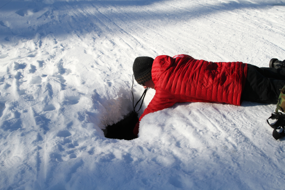
Within less than 10 minutes, the trail opens up onto the bed of a creek that appears to have no name. Overflow ice was common. Some members of our group had Yaktrax or similar ice cleats, but there was a path around most of the ice.
Overflow ice aside, the trail is superb on a day like that, with a gentle grade and broad views.
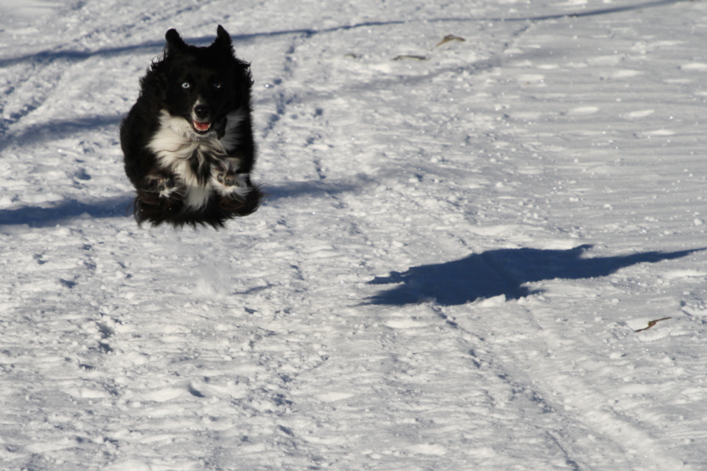
I tried for a while to get Tucker a head of me in a sunny area and then get a burst of photos of him running back to me, and had my camera set to do that. It finally worked.
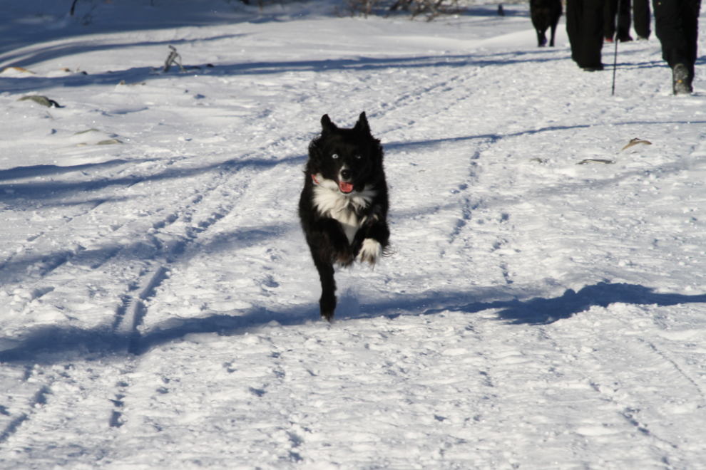
“Whoohoo, I can fly, daddy!” When I need to find an incentive to go hiking, photos like this of Tucker joyfully embracing life should be all I need.
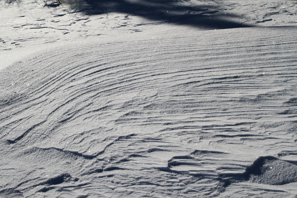
Sun-and-wind-sculpted snow along the trail.
It had been -23°C (-9°F) when we reached the trailhead at 09:00 and we were all suitably bundled up, but an hour and half later it was time to start shedding layers.
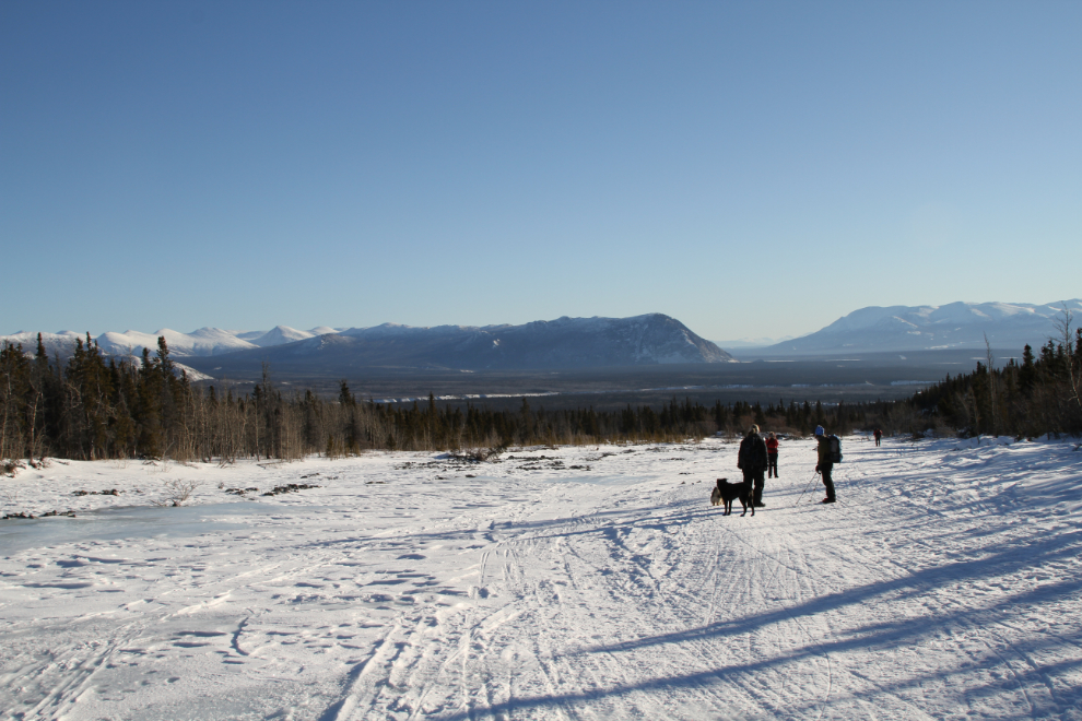
Looking back into the valley. The dominant mountain to the right of centre is Paint Mountain, which overlooks Haines Junction from the northeast.
Some of the overflow ice was quite extensive and couldn’t be walked around. I may invest in some cleats for future hikes of this sort.
Just after I shot this photo, Karla and I got a bad scare when her little dog Meeko fell into a hole in the ice crust. Karla grabbed her by the scruff of her neck as she was still dropping. We immediately put both her and Tucker on leashes. Shortly after that, the big Lab with us also fell through and needed help to get out. In many places, we could hear the creek flowing below us.
When we went back into the shade, it cooled off substantially, as we were gaining a surprising amount of elevation even with the fairly gentle grade of the creek.
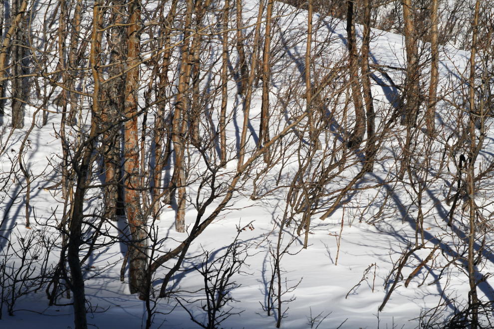
Patterns in the scrub forest.
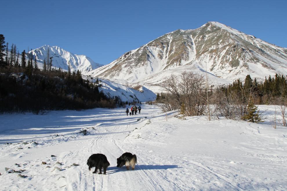
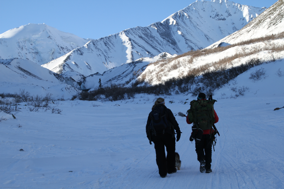
Just after 11:30, with the ice cave now visible in the distance, Philippe got to work, starting with an introductory monologue for the Northbeat program.
Interviewing Karla, who hiked to the ice cave in 2017, as we walked. She noted how dramatically different the trail is now due largely to the heavy use.
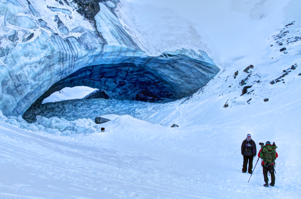
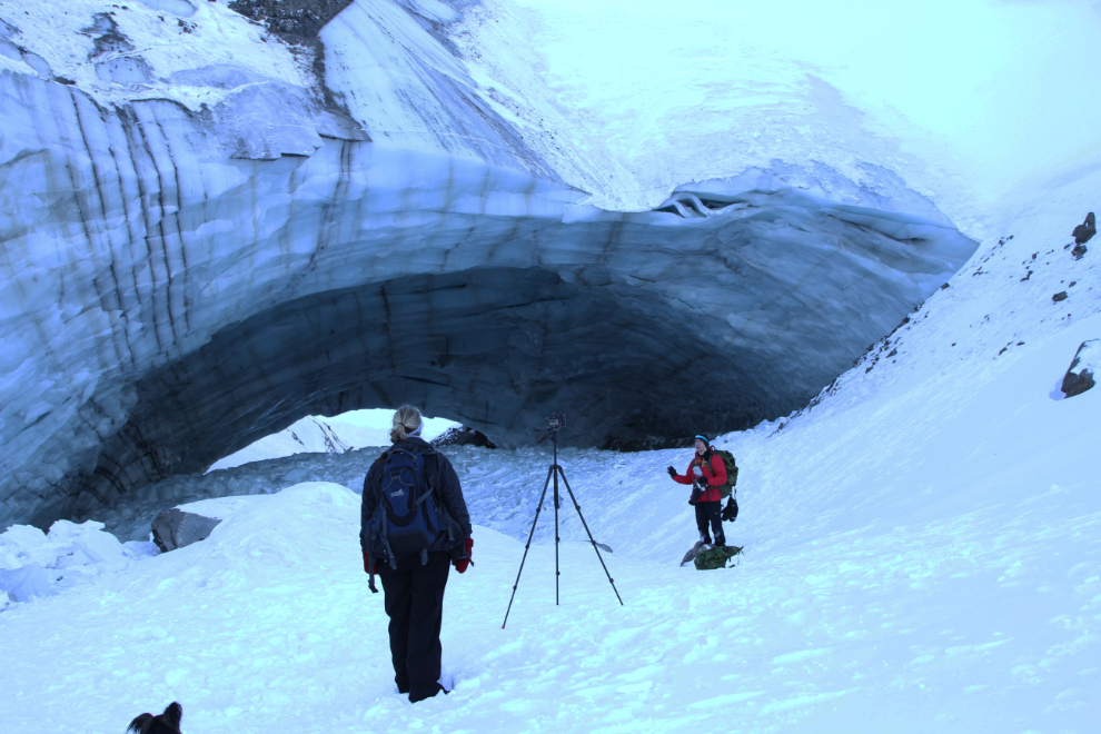
The first really good look at the Kluane Ice Cave. Yes, this hike had been a very good idea! 🙂
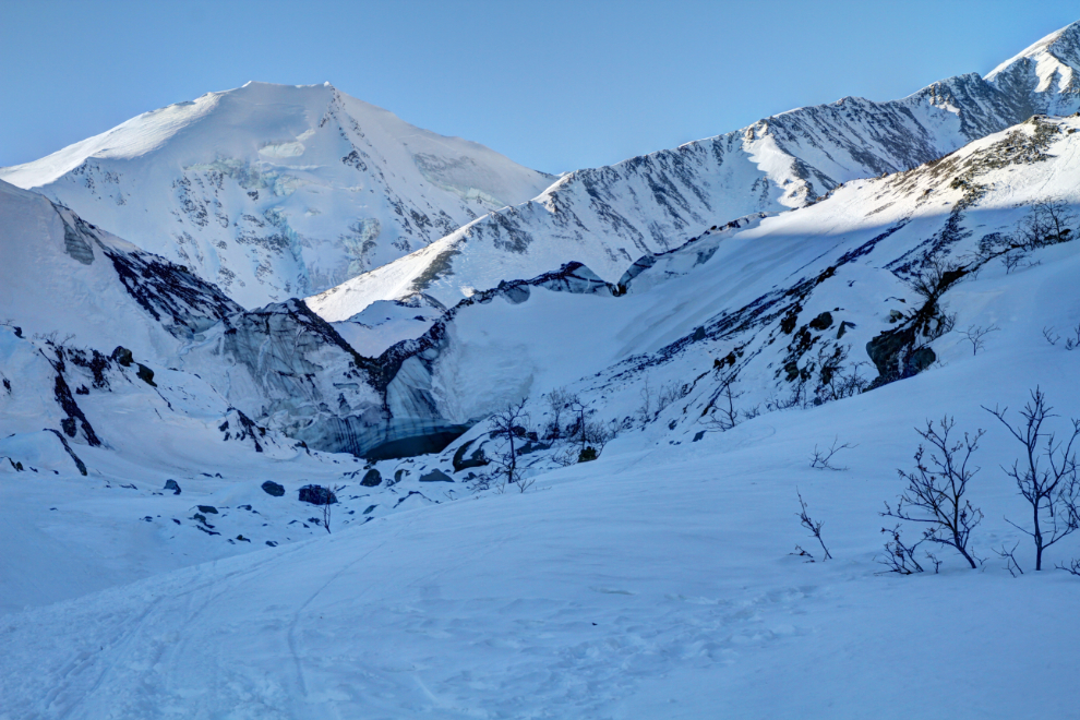
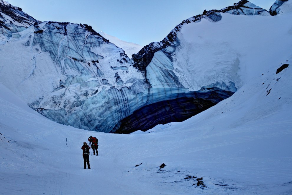
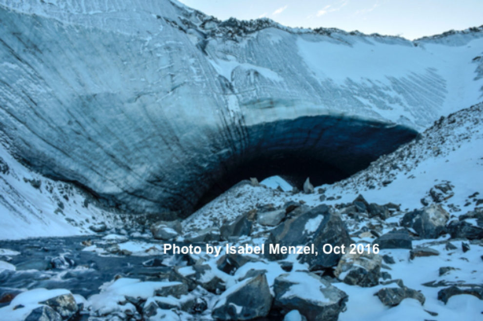
Having people in the view gives a better idea of how large the ice cave is. As many photos as I’d seen of it, I was still surprised by its size. This ice cave is, I think, at least 10,000 years old, forming as the glaciers retreated after the last ice age. I haven’t seen any reports about it by scientists yet.
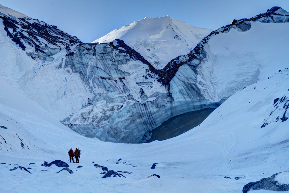
The view from the Kluane Ice Cave. A few minutes before, we had met 3 members of our group heading back down to have lunch in a warm sunny spot.
As we approached, I was studying the face of the roof to try to figure out where the dangerous areas were. A large chunk of ice had broken off the left side a few days previously, prompting the latest warnings to stay away.
The next photo was shot by Isabel Menzel in October 2016. The difference is obvious.
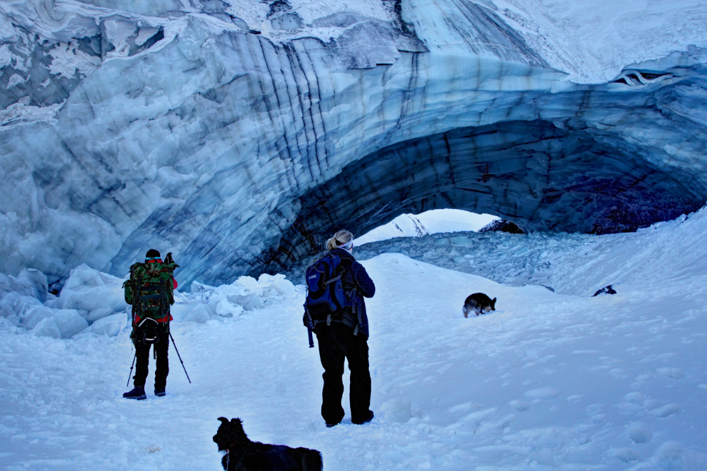
Karla and Philippe shooting another segment up close to the mouth of the ice cave.
Remembering photos I’d seen, there had clearly been a lot of ice falling from the ceiling. Just 2 years ago, walking through it was easy on a low and smooth pile of snow and ice.
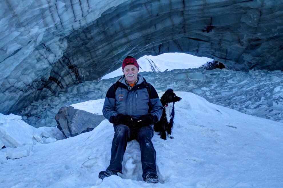
I asked Karla to use my camera to get some photos of Tucker and I.
Philippe then set up close to the mouth of the ice cave to do his main commentary about it. Seconds after I shot the next photo at 12:30, a huge section of the ice cave ceiling collapsed! There was no warning and it was over in a second, but hundreds of tons of ice fell. We were stunned, shocked, scared. Tucker was terrified and ran as far as his extend-a-leash would allow. The look on Philippe’s face, as it happened behind him, was funny, looking back on it. He didn’t know whether to scream, run, or just mess his pants! Then, his primary concern was “did I get that on video???” He did!! A few seconds later, a wave of icy water vapour hit us as we were still trying to get over what had just happened.
As I write this on Saturday morning, CBC Yukon hasn’t posted the video yet. I have no doubt that it will go viral world-wide – what we saw on the small camera screen was incredible. When it is posted, I’ll add a link here.
The hike back down was uneventful. At one point both Karla and Philippe shot video of the creek a couple of feet down in the one of the holes in the ice crust.
At 2:00 it was wonderfully warm – when we reached the vehicles it was -3°C (+27°F).
At 3:30, we were ready to head home. I had to make it a quick trip, as I had some dogs being dropped off for a weekend puppy-sit 🙂
Going through the photos of this hike as I put the blog post together, I may go up there again while this amazing weather holds. I think it’s entirely possible that the ice cave will collapse entirely this coming summer.
My last puppy has been adopted and I’ll fly her to Vancouver early Monday morning, then it’s on to one of many other projects. Yes, Cathy, including house renovations… 🙂