Driving the Alaska Highway from Kluane Lake to Snag Junction
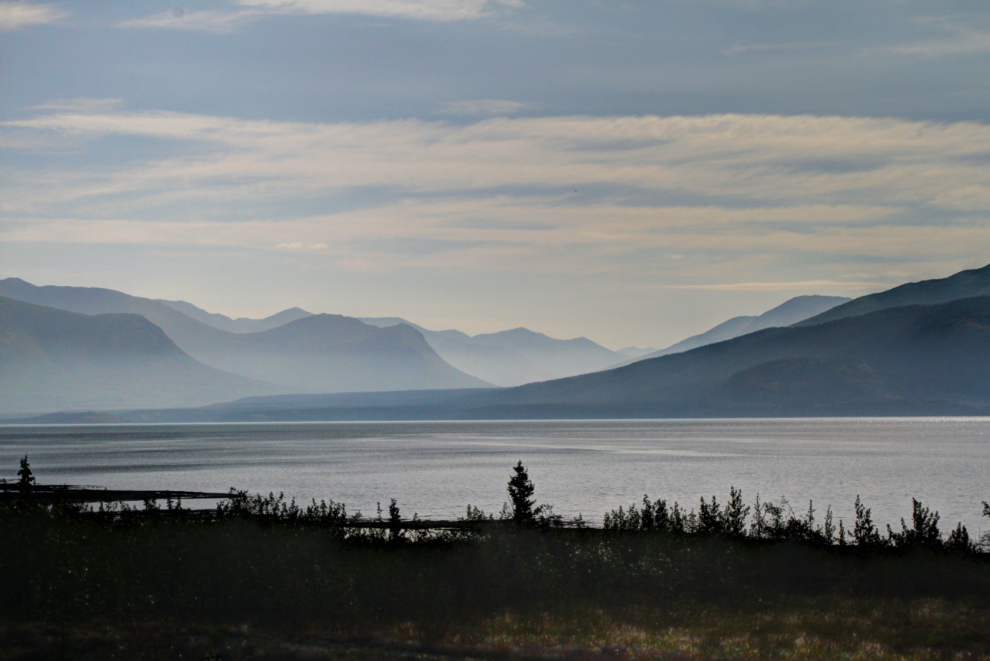
Just after 09:00 on July 6, we left the pullout on the Alaska Highway along Kluane Lake where we had spent 3 nights and 2 days. We headed west, with no particular destination in mind, and not really even a good idea of when I’d go back home. In the 29 years I’ve been driving this highway, this was the first time I could stop and go whenever/wherever I wanted. I love my motorhome 🙂
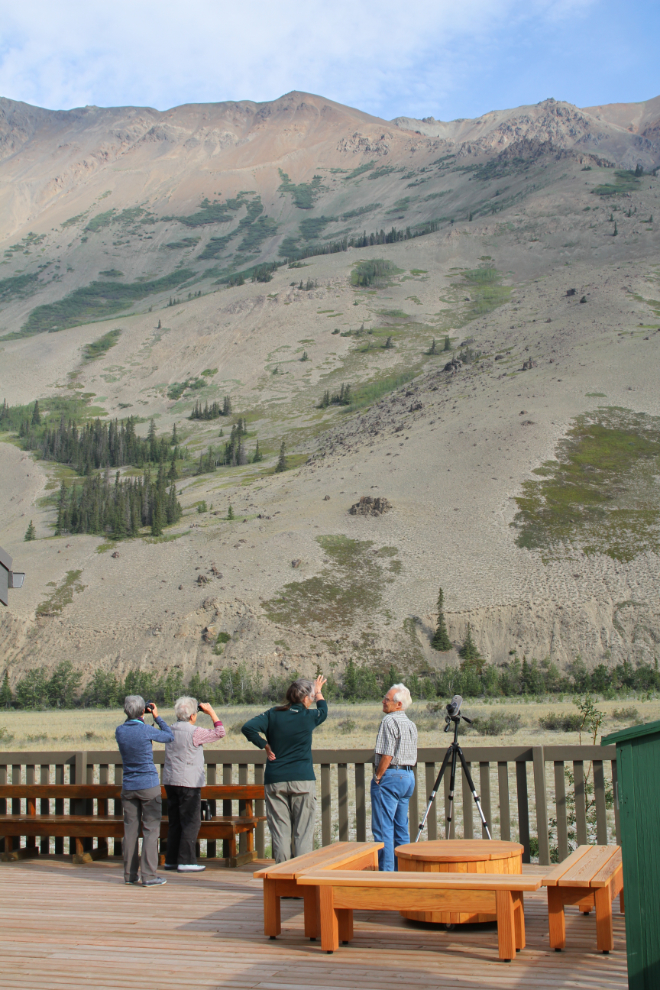
My first stop was at the Thachäl Dhäl (Sheep Mountain) Visitor Centre – I’d heard there had been some changes to the building, and wanted to ask a ranger about a couple of things.
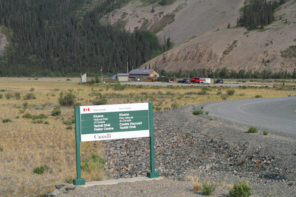
The centre does get to be a more and more comfortable and useful stop as the years go on. There were a couple of sheep laying down high on the mountain when we were there, but no good viewing.
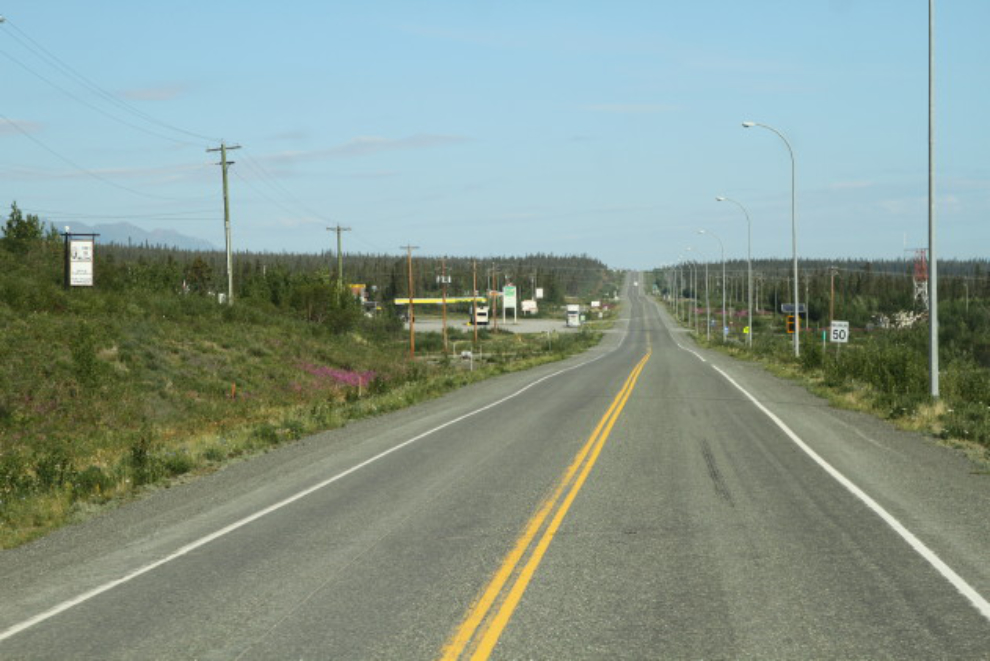
Looking up Kluane Lake from the huge pullout at Km 1662.5.
I was feeling lazy that morning, and although the kids got breakfast, I didn’t. When we reached Destruction Bay just before 10:00, I had my breakfast at the Talbot Arms.
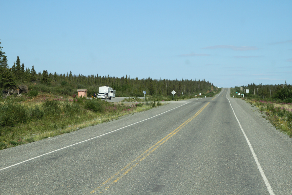
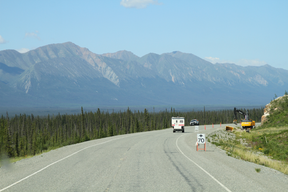
There are still a few campgrounds and rest areas that I don’t have good photos, so that was something I wanted to remedy on this drive. The next photo shows the rest area just west of “D Bay”, at Km 1685.1.
I find the glacier-fed creeks and rivers that flow out of Kluane National Park to be very interesting, and the Duke River at Km 1709.5 is one of the most interesting. The old steel-arch bridges used to be a wonderful addition, but they’ve all been replaced by concrete bridges with no personality in recent years.
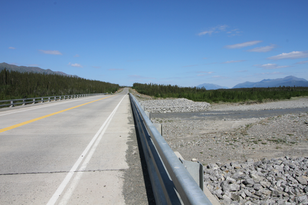
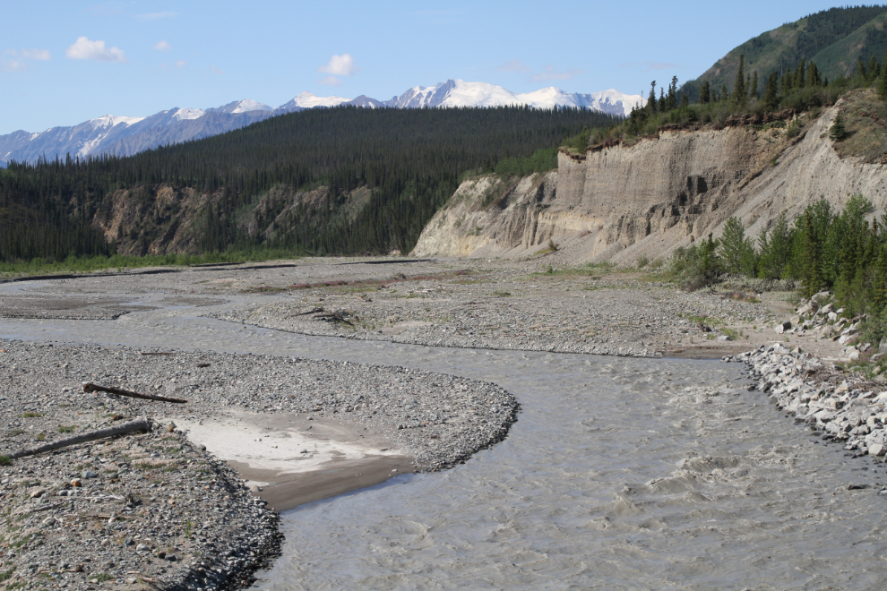
Because the Alaska Highway runs along the base of mountains here, many of the creeks and rivers look very different looking upstream and downstream from the bridges. We stopped for quite a while at the Duke, and as well as letting Bella and Tucker explore a bit, I took a lot of photos, both from river level and from the bridge. Looking downstream from the bridge, the Duke River has a vast spreading channel (a “braided channel“) that rarely has much water in it. What you see in the next photo is a rather heavy flow.
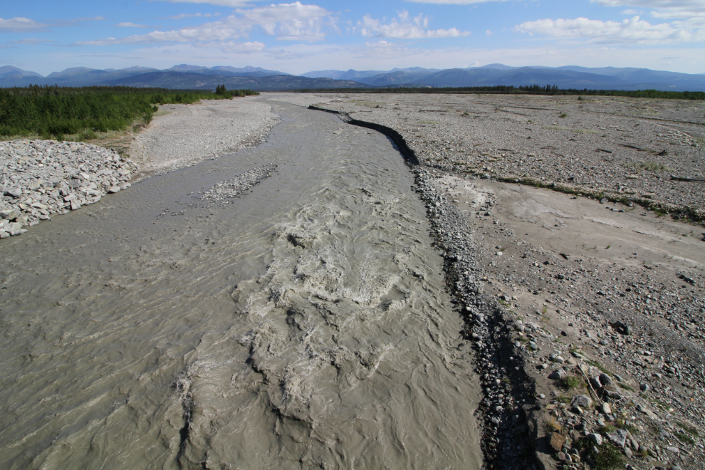
Looking upstream, the Duke looks very different, quickly narrowing with high cliffs on one side as you climb into the mountains.
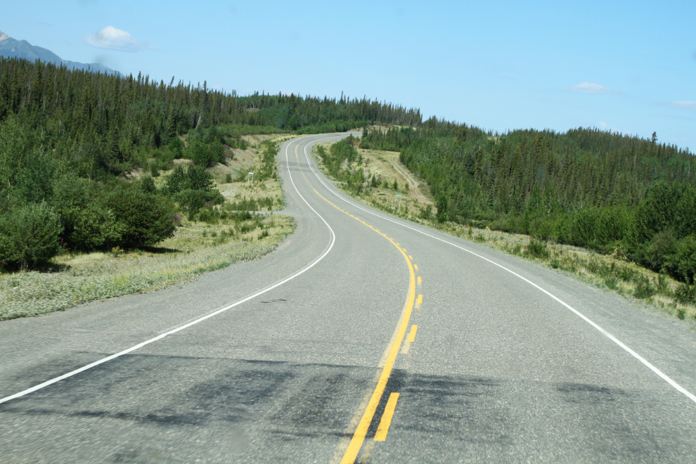
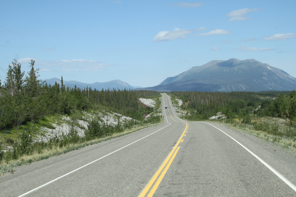
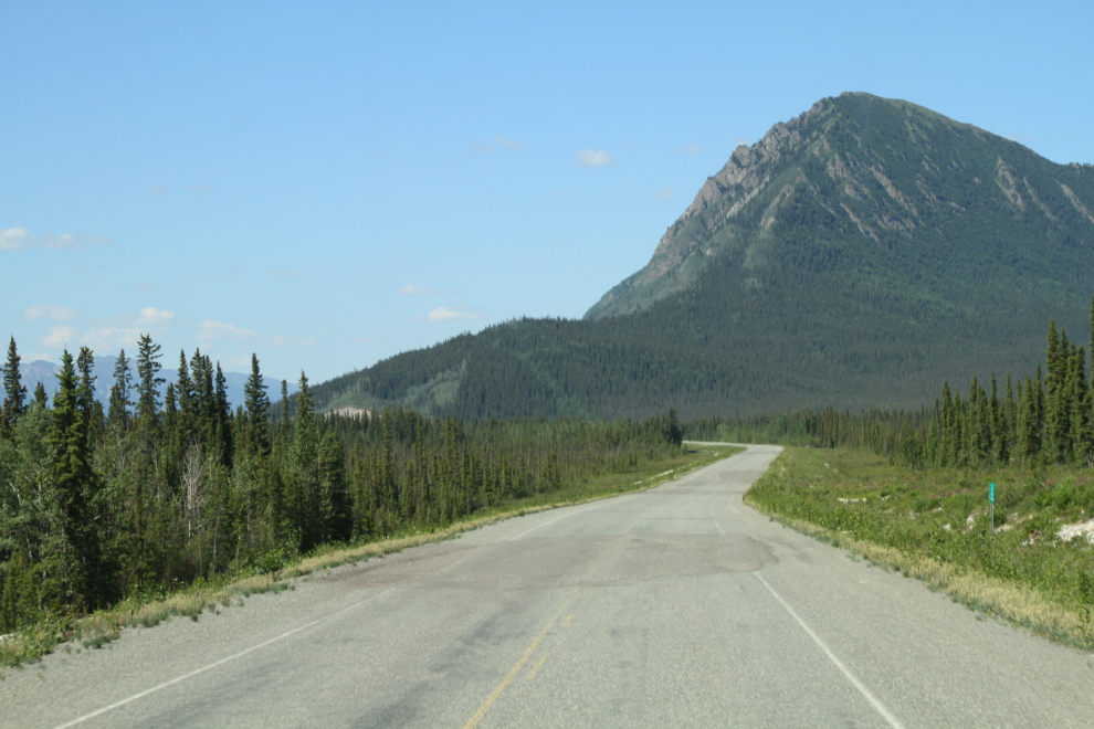
I’ve always like the way the highway curves to cross Sakiw Creek at Km 1724.6. I remember when the highway was rebuilt in the mid-1990s, enhancing the curves to reduce the grades on both sides.
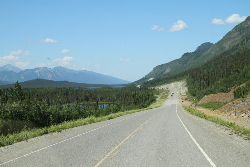
The large Kluane River rest area at Km 1726 is a lovely spot.
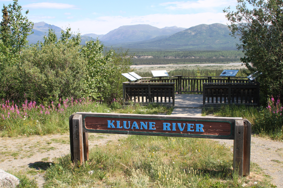
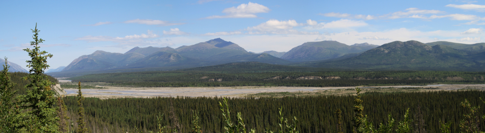
The next photo is a 3-photo panorama of the Kluane River shot from the viewpoint. The Kluane River is one of the wild cards in this country still – it drains Kluane Lake and it’s not clear what the reduced water and flow levels will do in the long term.
At the bottom of the little valley ahead in the next photo is Quill Creek, and on the right is an abandoned section of the Alaska Highway where a memorial to First Lieutenant Roland Small, who was killed near that spot during construction of the highway, is located.
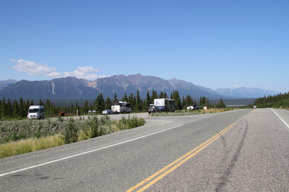
Our next stop was the large rest area above the Donjek River at Km 1755.5.
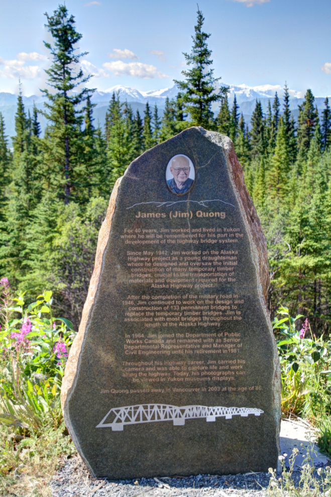
There is a fairly new memorial at that rest area, James “Jim/Jimmy” Quong:
For 40 years, Jim worked and lived in Yukon where he will be remembered for his part in the development of the highway bridge system.
Since May 1942, Jim worked on the Alaska Highway project as a young draughtsman where he designed and oversaw the initial construction of many temporary timber bridges, crucial to the transportation of materials and equipment required for the Alaska Highway project.
After completion of the military road in 1946, Jim continued to work on the design and construction of 133 permanent bridges to replace the temporary timber bridges. Jim is associated with most bridges throughout the length of the Alaska Highway.
In 1964, Jim joined the Department of Public Works Canada and remained with them as Senior Departmental Representative and Manager of Civil Engineering until his retirement in 1981.
Throughout his highway career, Jim carried his camera and was able to capture life and work along the highway. Today, his photographs can be viewed in Yukon museums displays.
Jim Quong passed away in Vancouver in 2003 at the age of 86.
Dropping down to the Donjek River, at about Km 1760. I had planned to stop there and get some photos, but there was work being done – traffic was one-lane and the pullout at the west end was full of trucks. I had never seen the Donjek with so much water in it, so I was sorry to miss that photo op.
The crews at the Donjek Bridge may have been stringing fibre optic cable, because from there on there were crews buried cable at several places.
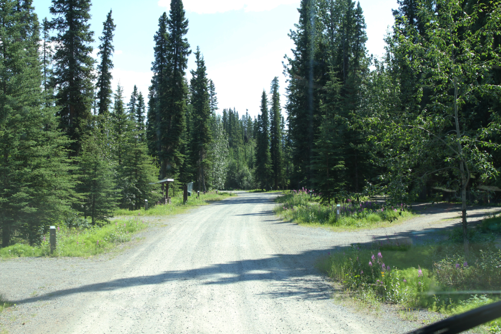
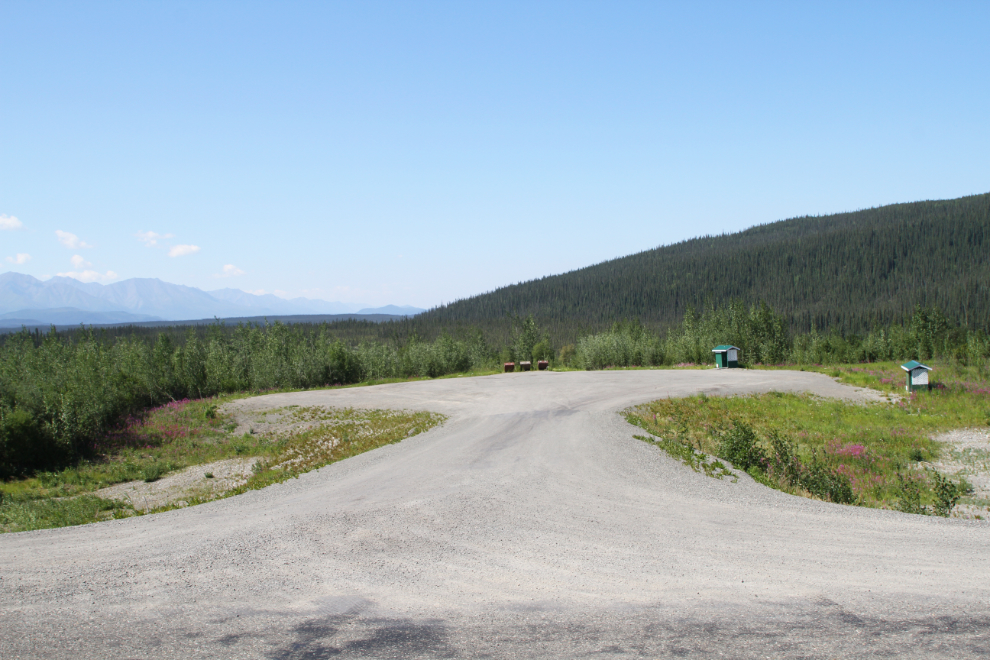
I stopped at the Lake Creek Campground at Km 1791.1 next. I pulled the rig into one of the 13 pull through camp sites (there are 27 sites in total), then went for a long walk with Bella and Tucker.
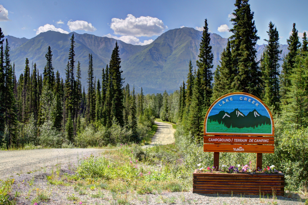
It’s a very nice campground, but I think it gets used little – I don’t think I’ve ever heard anyone mention it.
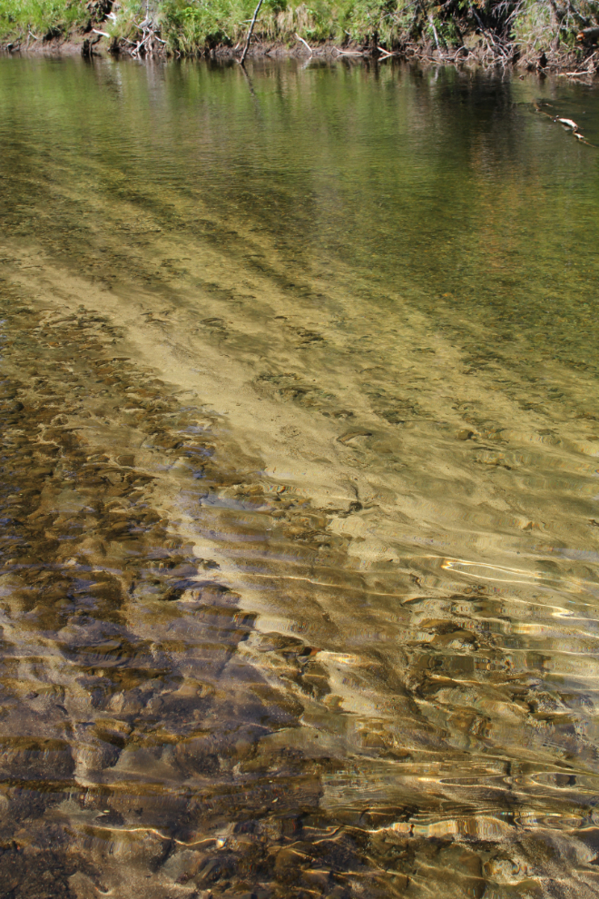
Lake Creek itself is an interesting, very pretty stream with lots of large sand and gravel beaches along it. The section seen in the next photo was particularly interesting with the water-sorted gravels along the bottom.
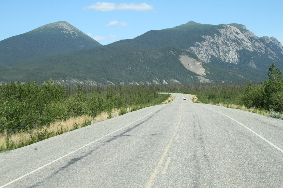
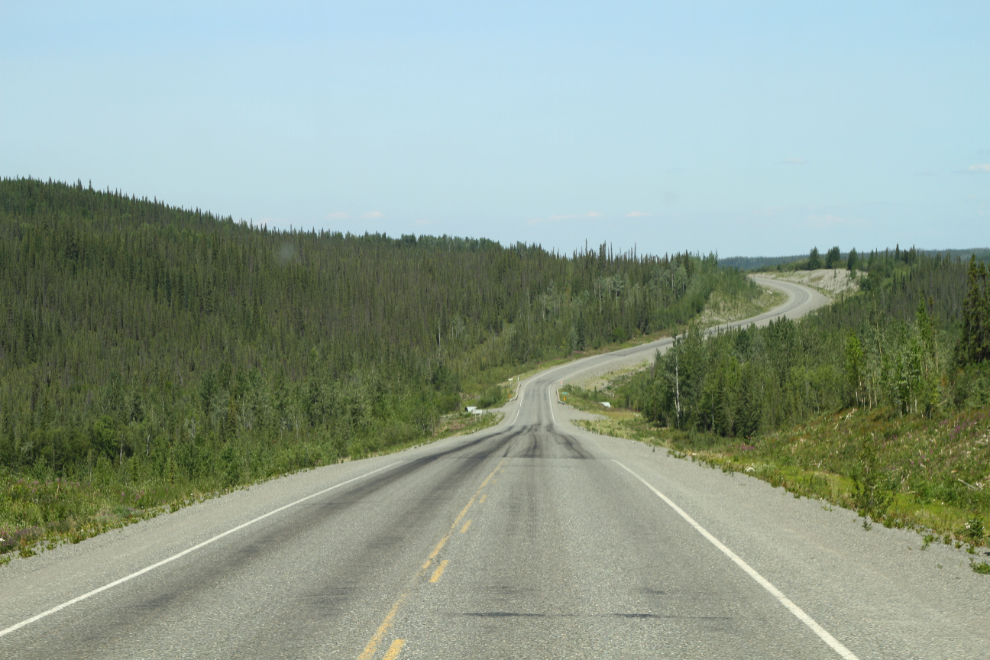
We left Lake Creek just after 2:00, thinking that the Snag Junction Campground would be a better spot to explore the area from. In the next photo, the green Km 1796 “milepost” can be seen on the right.
At Km 1800, another fibre optic cable-laying crew could be seen ahead. The large lake ahead is Pickhandle Lake – there’s a rest area there but it’s quite small and a large 5th-wheel RV left not enough room for me to get turned around, so I didn’t visit it.
The rest area below is at Km 1840.8 – in my days driving tour bus, I used to stop at that one quite often.
The highway crosses Dry Creek ahead, at Km 1841.8. Until it burned in 1951, the Dry Creek Lodge at what was then Mile 1184 of the highway was an important place. Here, bus passengers would transfer from the Canadian busses operated by the British Yukon Navigation Company to American ones operated by Alaska Coachways.
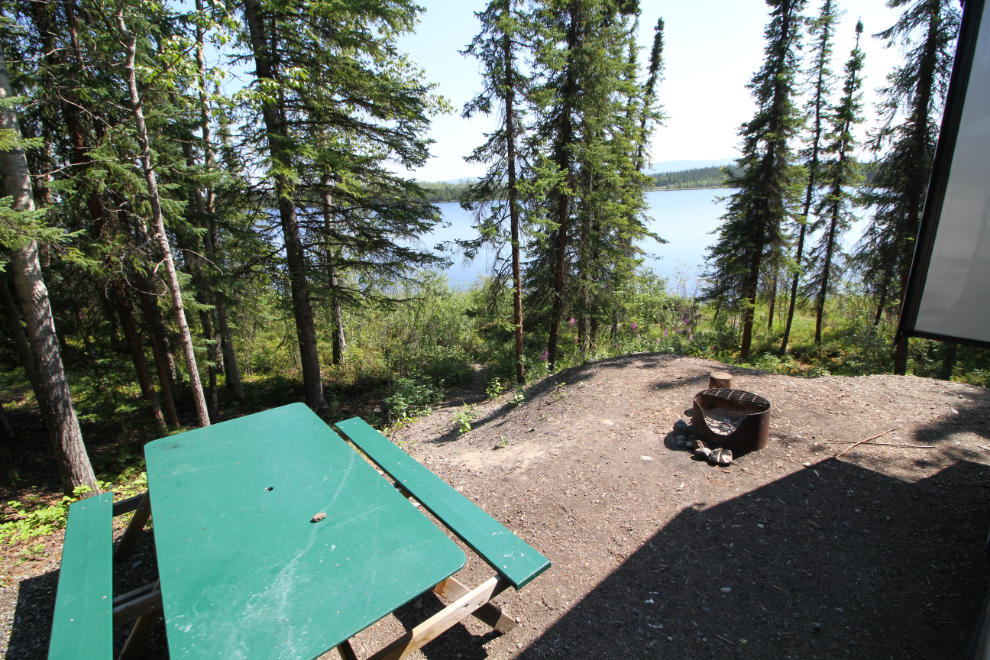
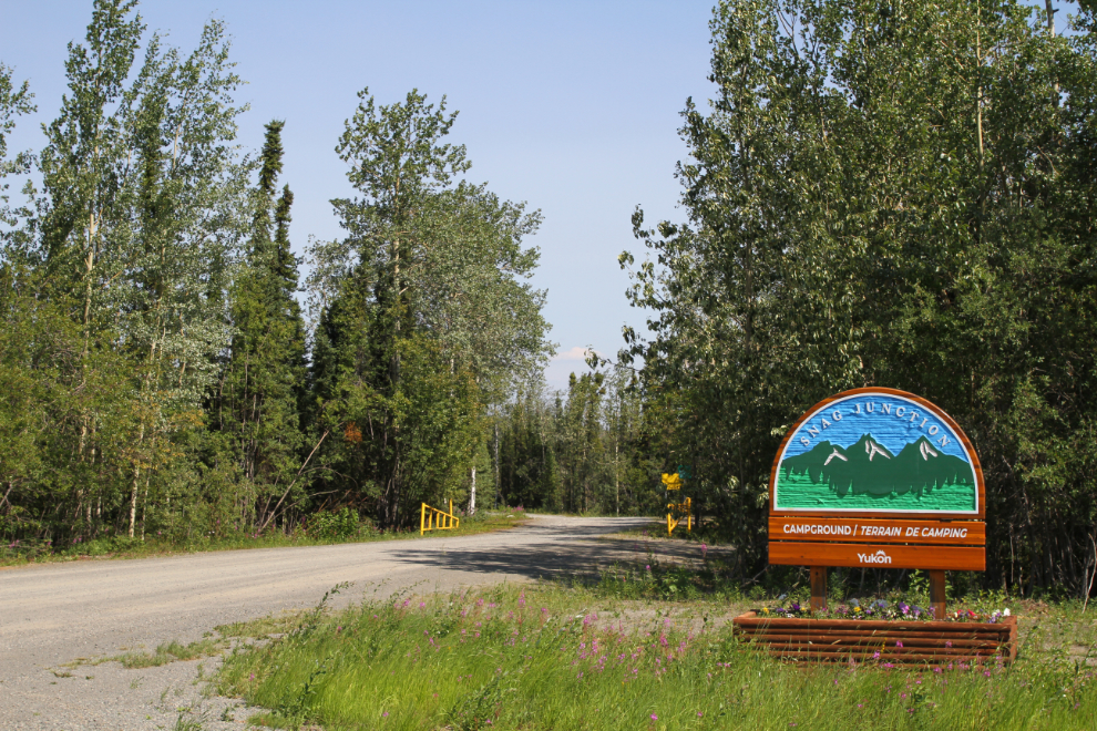
Right at 3:00, we reached the Snag Junction Campground, which has 15 camp sites, 3 of them pull through.
I picked a lovely back-in site overlooking the lake and was soon set up, planning on staying 2 nights. Bella and Tucker and Molly were all ready for an afternoon nap, and we were all sound asleep when all hell broke loose at 5:00! That, of course, is what I’ll tell you about in the next post 🙂