RVing Dawson, Five Finger Rapids, and home
Leaving Tombstone Park on Sunday, August 6th, was supposed to lead to another multi-day adventure, but the Tracker broke down and after a night at Five Finger Rapids, I’m back home instead.
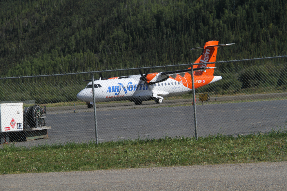
Following my last hike during Geology Weekend at Tombstone, we drove to the Dawson airport so Cathy could fly home while I continued wandering. At 3:55, her Air North plane arrived, one of their new ATR 42-300 turboprops. A few minutes later, Cathy went into the terminal, and I drove into Dawson.
This was Day 10 on the road without services, and I had various tanks on the RV to empty or fill before continuing on. I thought about just taking care of the waste, water, and fuel tanks, but decided to check into the Gold Rush Campground downtown, as I wasn’t really finished with Dawson City yet.
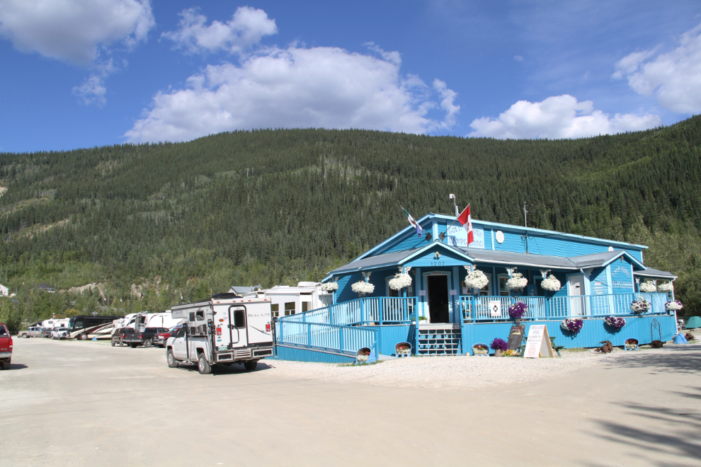
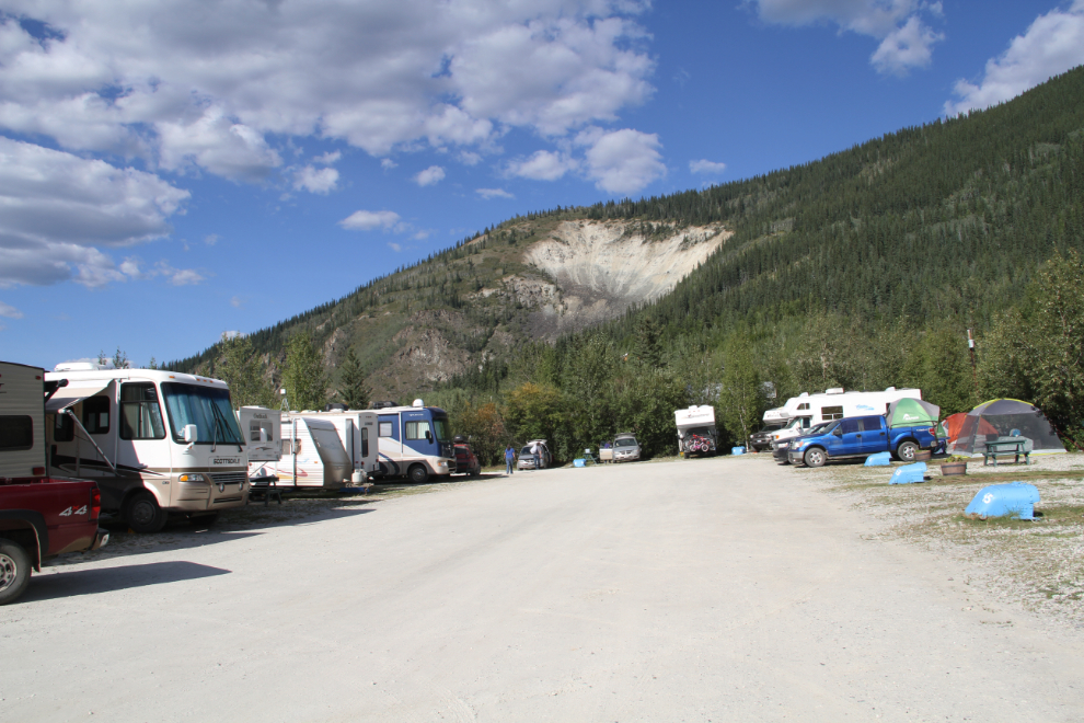
It ain’t much but it serves the purpose. The sites are very small and not very level, for $49 per night. It’s the only RV park that lets you easily walk anywhere in Dawson, though.
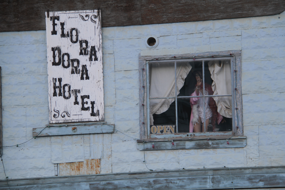
I started by walking to the Eldorado Hotel for dinner, leaving the air conditioners roaring to keep the RV cool (it was about 30C/86F). Once the sun had dipped below the mountain to the west enough to put the waterfront trail in shade, I took Bella and Tucker for a long walk. The Flora Dora Hotel is one of my favourite buildings in Dawson 🙂 It closed about 30 years ago, but it’s great to see that the owner has a sense of humour that makes it one of the most-photographed buildings in town.
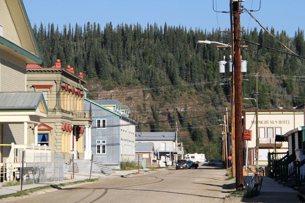
The next morning, I walked over to the YOOP Eight Avenue Cemetery, final resting spot of many members of the Yukon Order of Pioneers. I took a few photos during the walk – the next photo shows Queen Street.
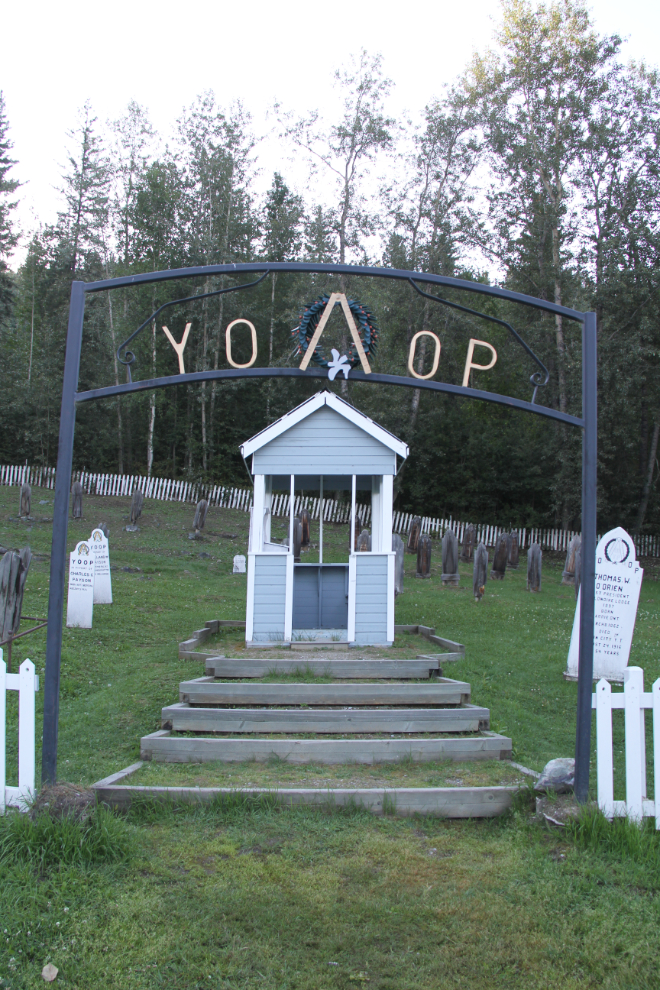
The cemetery entrance. Most of the cemeteries in Dawson are grouped together up on the hill, and few people know that this one exists. My goal was to take photos of every one of the graves and markers this morning.
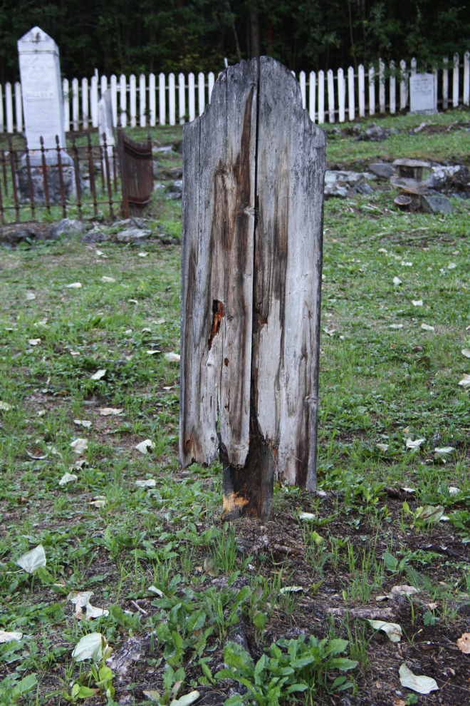
Some of the headboards are pretty much rotted away. I think that it’s a safe bet that there are records for each burial in this particular cemetery.
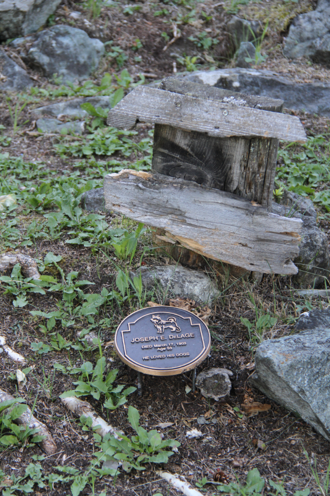
“Joseph E. DeLage. Died March 17, 1903, age 53. He loved his dogs.”
I had only been working for about 10 minutes when I started talking to a couple from BC. It turned into a very long conversation, and I eventually had to leave to get the motorhome out of the campground by the 11:00 checkout time. So much for that project…
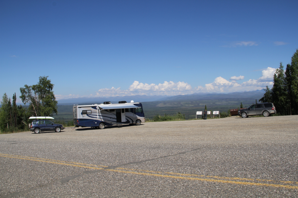
Stopping for fuel and dog walks, actually getting on the road took a while. Then the Tintina Trench viewpoint was a perfect location for a long lunch stop.
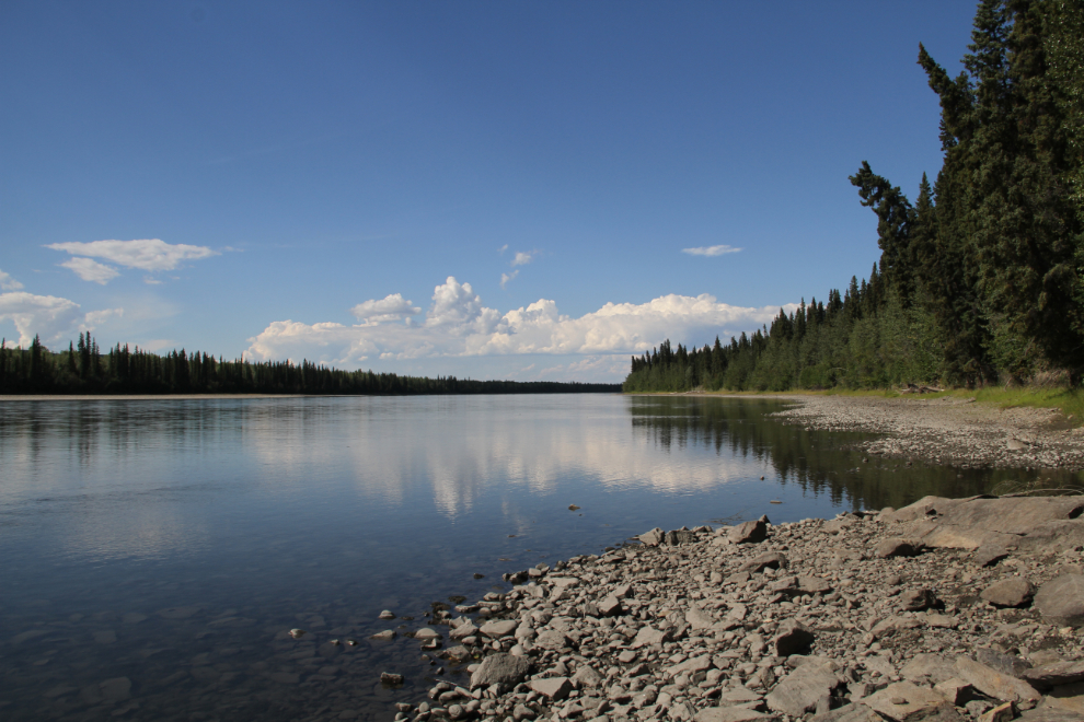
While it’s being towed, the Tracker has to be started every 200 miles to keep fluid circulating in the transfer case. I stopped at the Stewart River rest area to do that. The river is very low – odd when the Yukon River is very high.
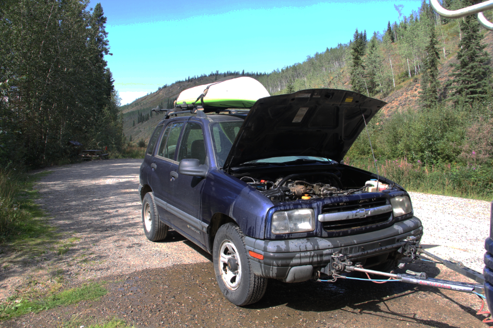
The Tracker wouldn’t start – the starter just spun without engaging the engine! Dust was very thick in the engine compartment, so I hauled a few buckets of water up from the river to clean it off for a look. My Haynes manual said that it’s a clutch inside the starter that has died, and there’s no remedy except to replace the starter. That put an end to my wandering – we had to get home 🙁
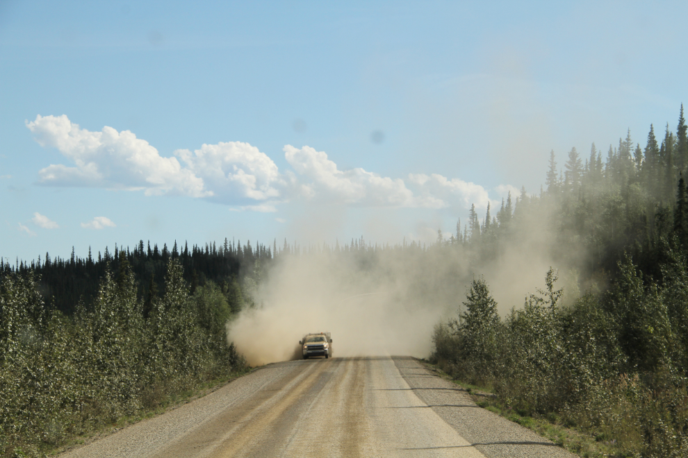
A road sweeper getting excess gravel off a section of new chipseal along the North Klondike Highway.
I decided to park overnight at the Five Finger Rapids Recreation Site. A couple from California asked me if that was legal, and when I replied that it was, they joined me. Another RV joined us sometime after I went to bed. Just before 06:00 the next morning, I took the next photo as the full moon was about to set.
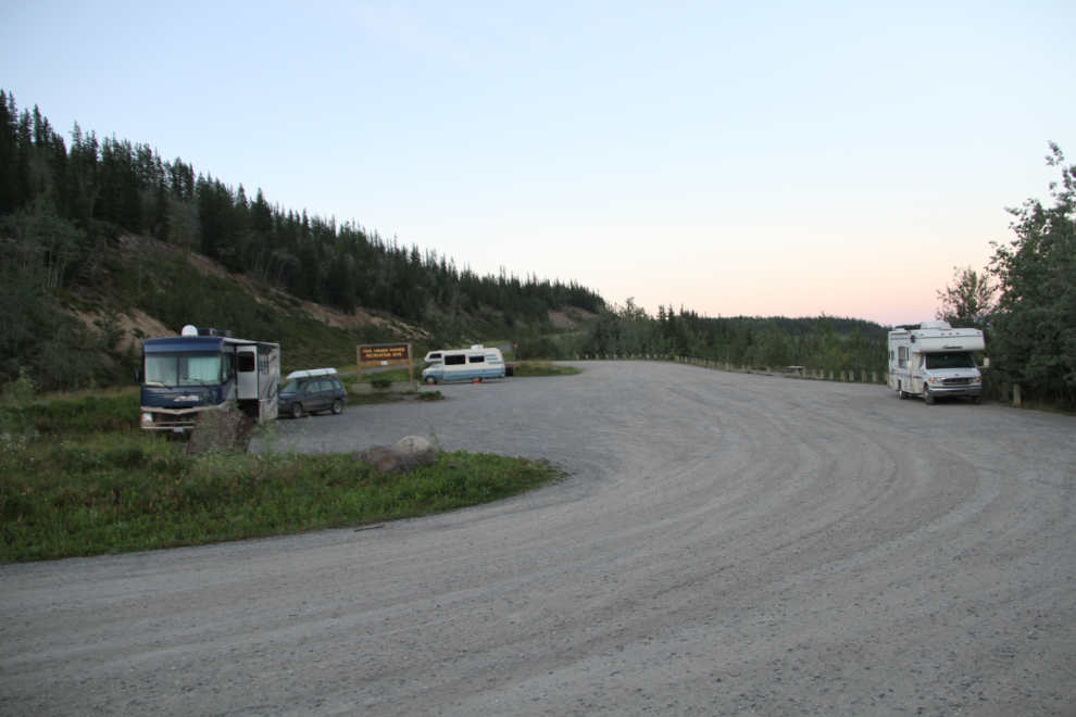
It was a gorgeous morning. I wanted to hike down to the rapids viewpoint, but had to wait for the sun to come up further to get the light I wanted. In the meantime, dog walks and other photography filled the time nicely.
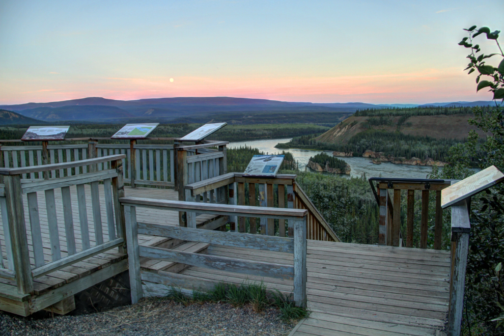
One of the reasons that I wanted to hike down to the rapids viewpoint was to get a count of the number of steps in the stairs – a few numbers appear in various accounts online.
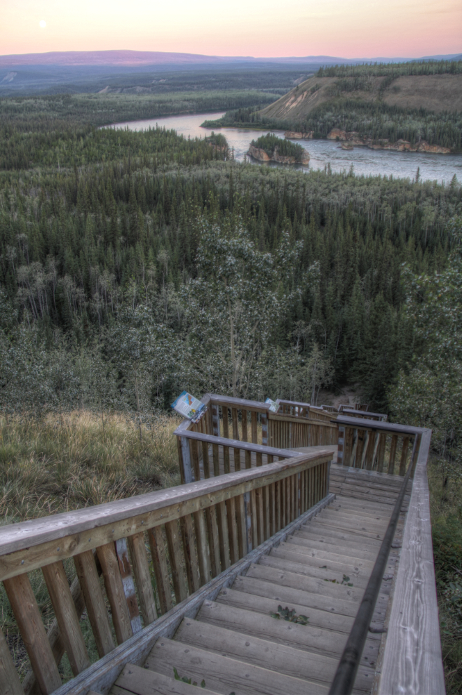
At 08:50, the light I wanted had arrived, and I started down the stairs. It’s too many stairs for Bella in particular, so I left both dogs in the motorhome.
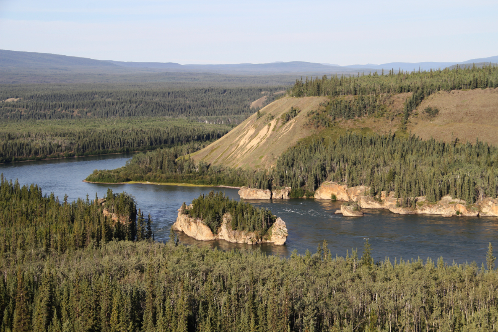
There are some wonderful rock formations along “the fingers”, including this large arch. While most visitors stop to see the view at the upper viewpoint, few make the hike down.
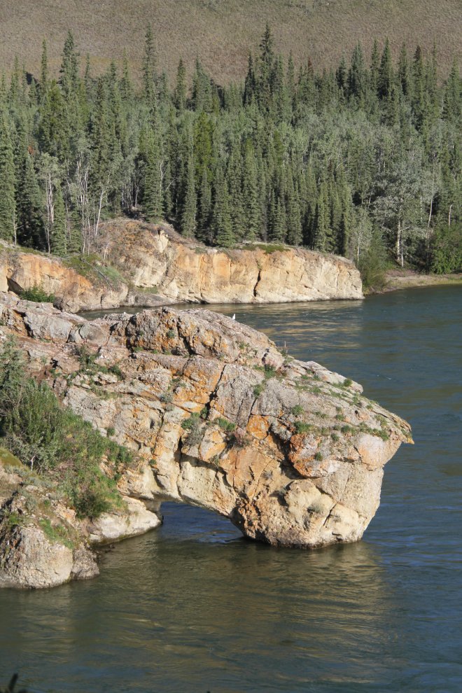
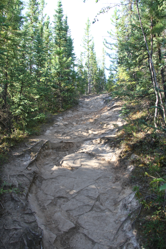
Once you make it down the 226 steps on two sets of stairs, most of the trail is really nice, with minimal grade. Then there’s a steep rocky section and 7 more steps up to the rapids viewpoint.
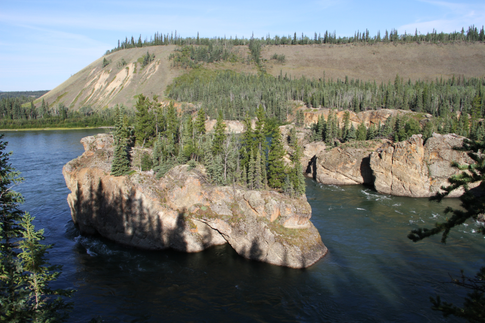
One final photo shot as I started the walk back to the parking lot. By 10:00 we were on the final leg home.
I dropped the Tracker off at the GM dealer (it’s handy being able to tow your own broken-down vehicle!), and am now just waiting for it to be fixed so I can get away again. The next destination will be wherever there’s sun – perhaps down the Alaska Highway in the Muncho Lake area.