Day 7: An Icefields Parkway morning
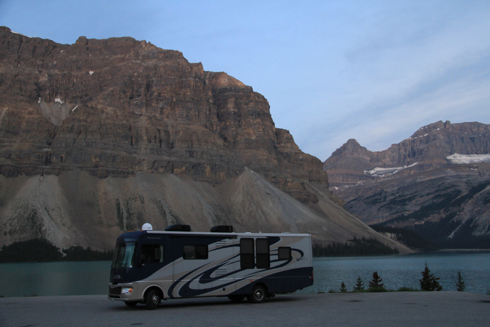
When I went to bed at the Bow Lake viewpoint on the Icefields Parkway Wednesday night, I had a comfortable feeling that I was almost home. Only another 1,400 miles to go.
A few minutes after 05:00, I went for a bit of a wander to get the blood flowing.
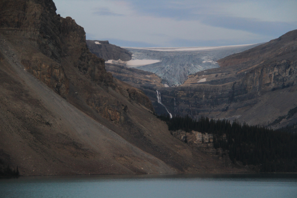
What an amazing place to start the day. And I had it all to myself – there was no sound except distant waterfalls.
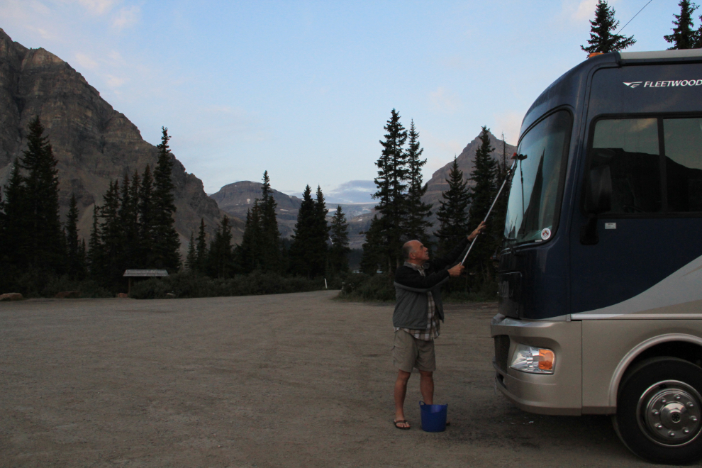
The huge expanse of glass on the front of the motorhome gathered a heavy load of bugs that had to be washed off before the sun came up.
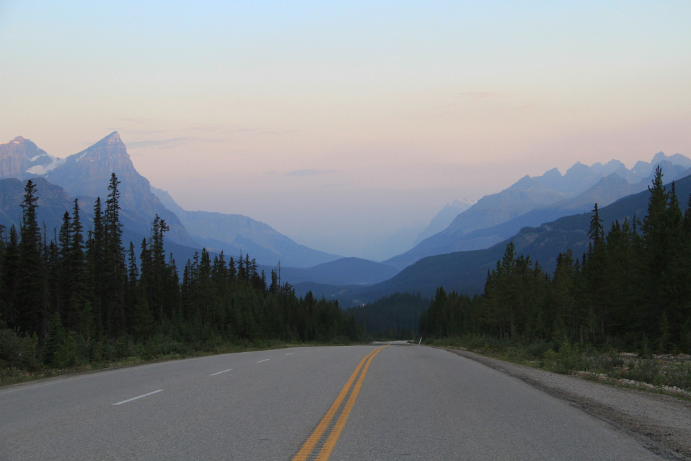
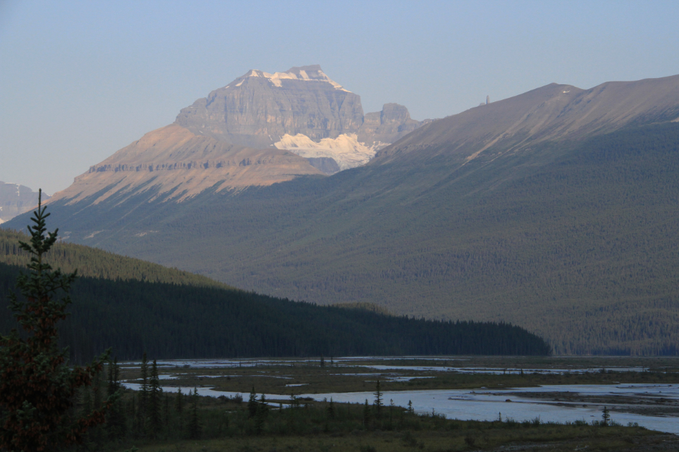
The view north from Bow Summit at 05:51. I pulled off on the shoulder of the road there for a couple of minutes to soak in it.
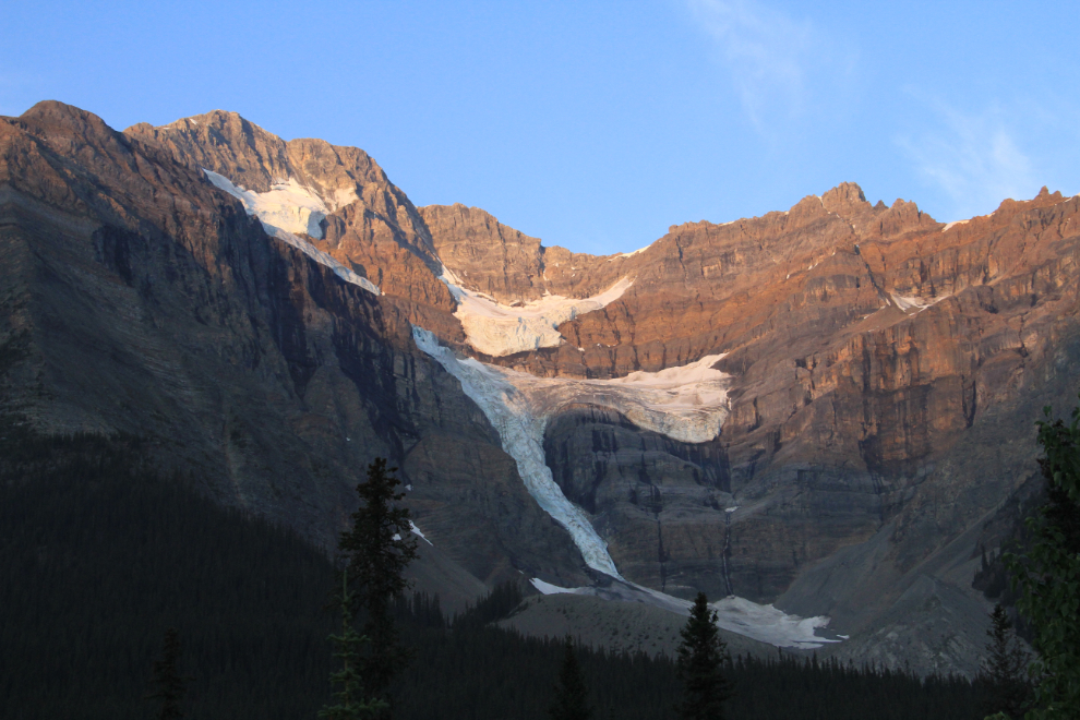
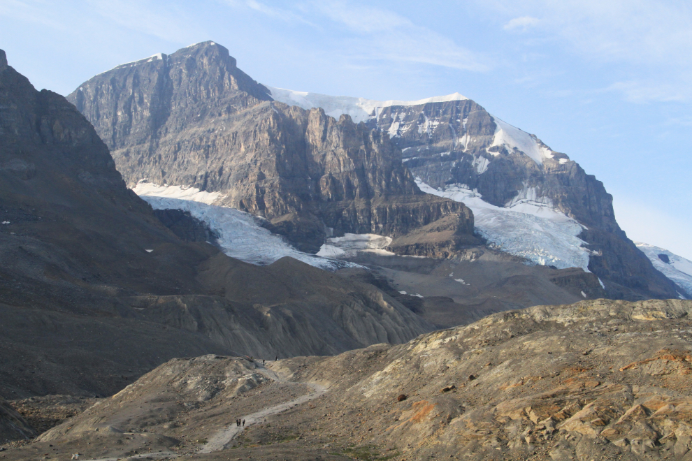
I found myself stopping often as the rising sun hit the peaks and glaciers around me. It’s amazing that some of the hanging glaciers stick to those cliffs.
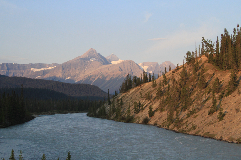
I stopped at the North Saskatchewan River crossing to get photos looking upriver into the rising run…
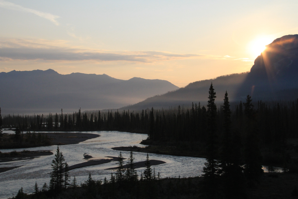
..and downriver.
I reached Saskatchewan Crossing Lodge at 6:30, making it a good choice for breakfast. A very basic buffet was $18.50, but it provided the fuel I needed for what I knew would be a long day.
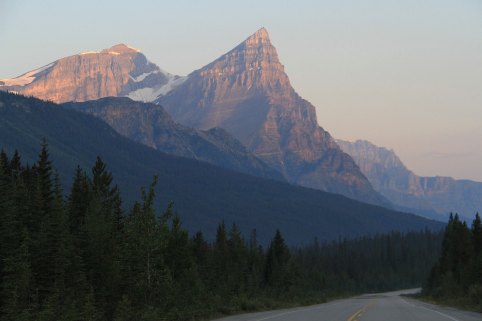
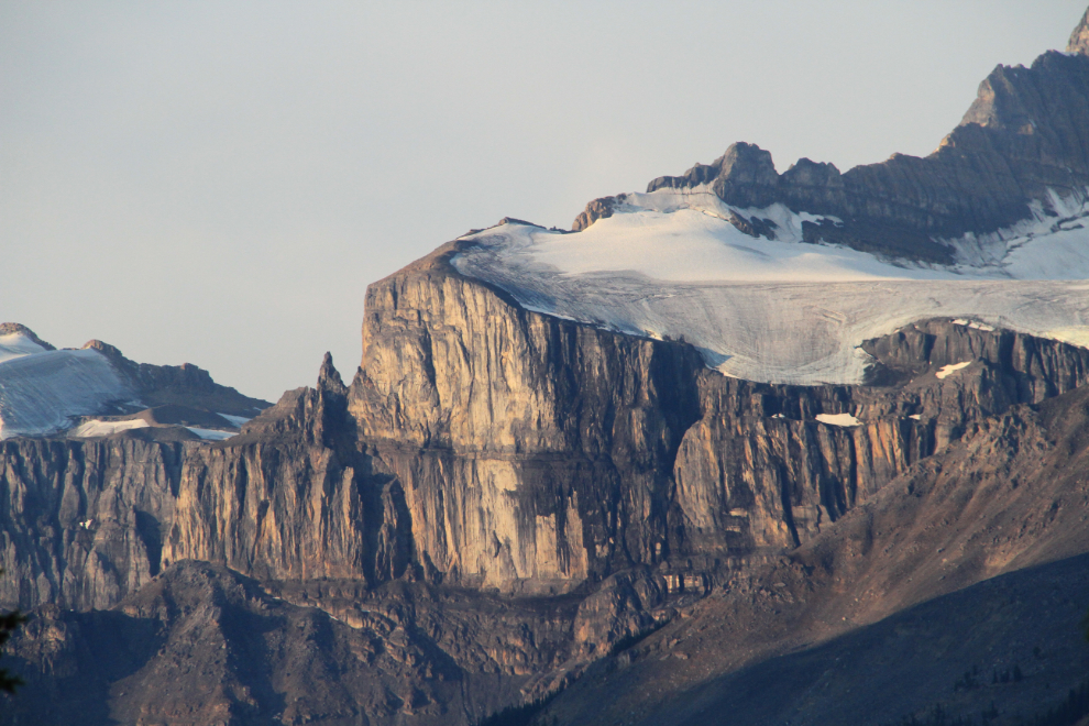
Mt. Saskatchewan. To the right is a spire known as Cleopatra’s Needle, or Lighthouse Tower.
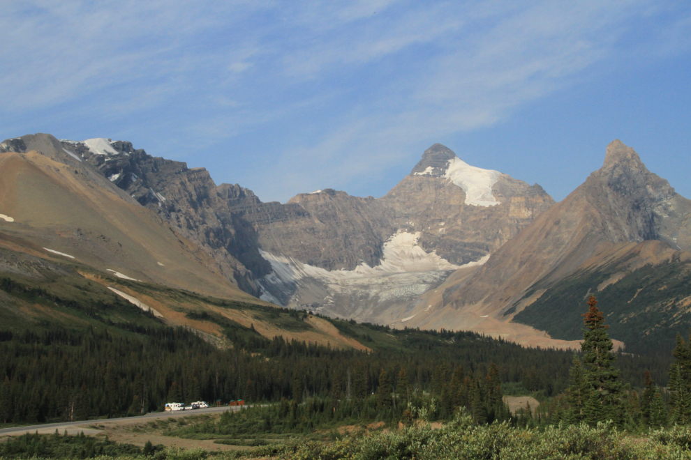
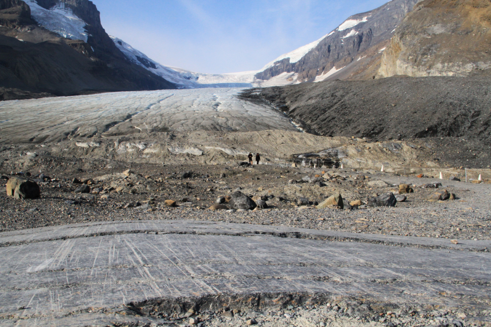
Reaching the Columbia Icefield just after 08:00, I decided to go for a walk up the short trail to the ice – the trail can be seen at the lower left of the next photo. If I’d ever been on that trail before, it had been decades ago.
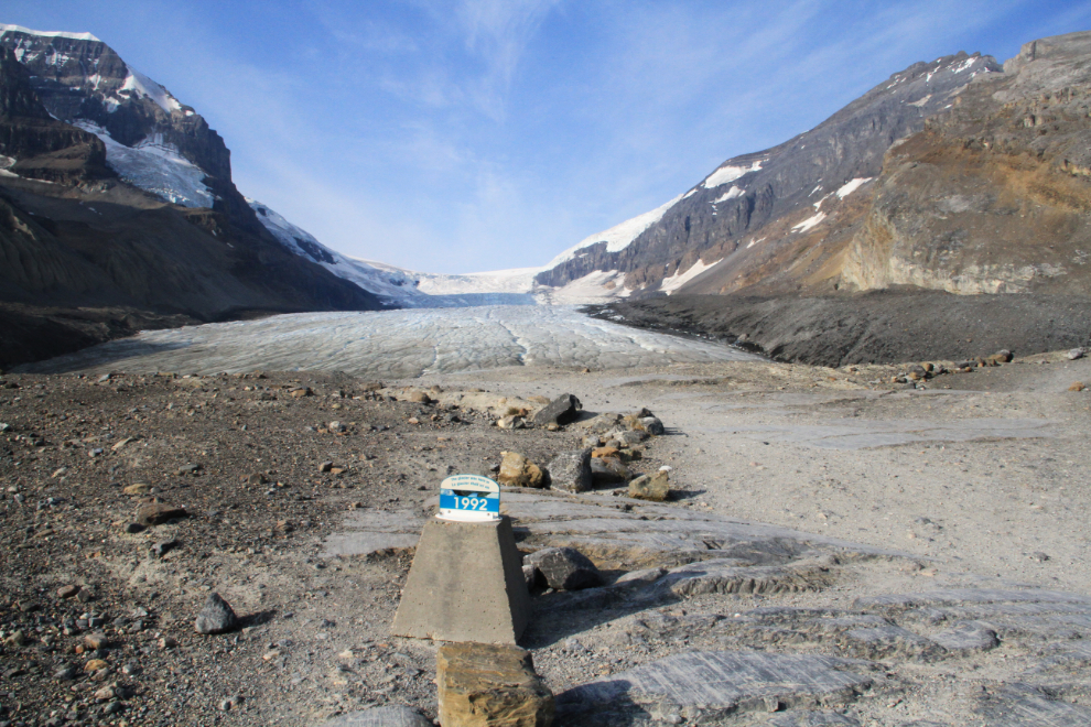
It’s quite remarkable how far the glacier has retreated over the past 90-odd years. This sign notes the position of the glacier’s face in 1992 – it’s several hundred feet from the current position.
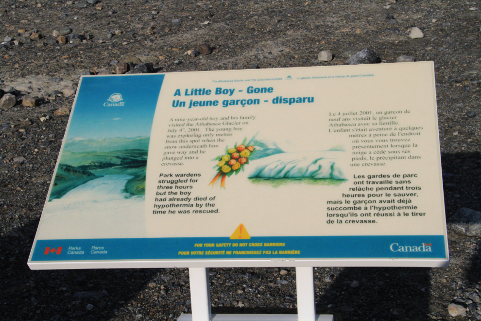
There are many signs warning of the danger of going beyond the roped-off area. This one tells the particularly sad story of a 9-year-old boy who went only a few meters beyond on July 4, 2001. He plunged into a deep, hidden crevasse, and died of hypothermia before rescuers could reach him.
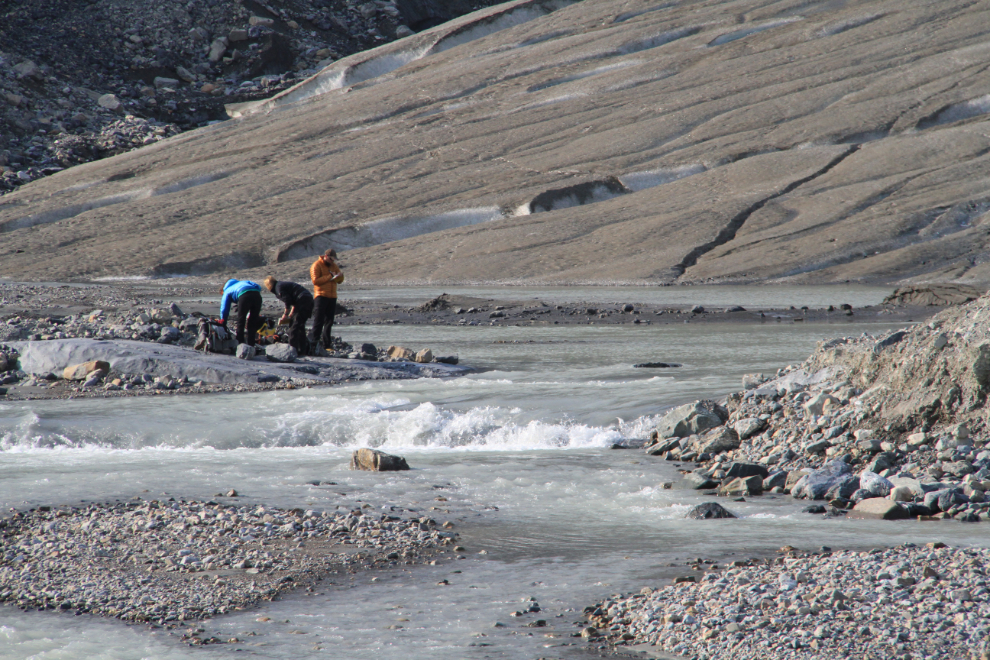
These people were taking measurements of something.
Only a dozen years ago, the glacier was still gouging its way across this granite.
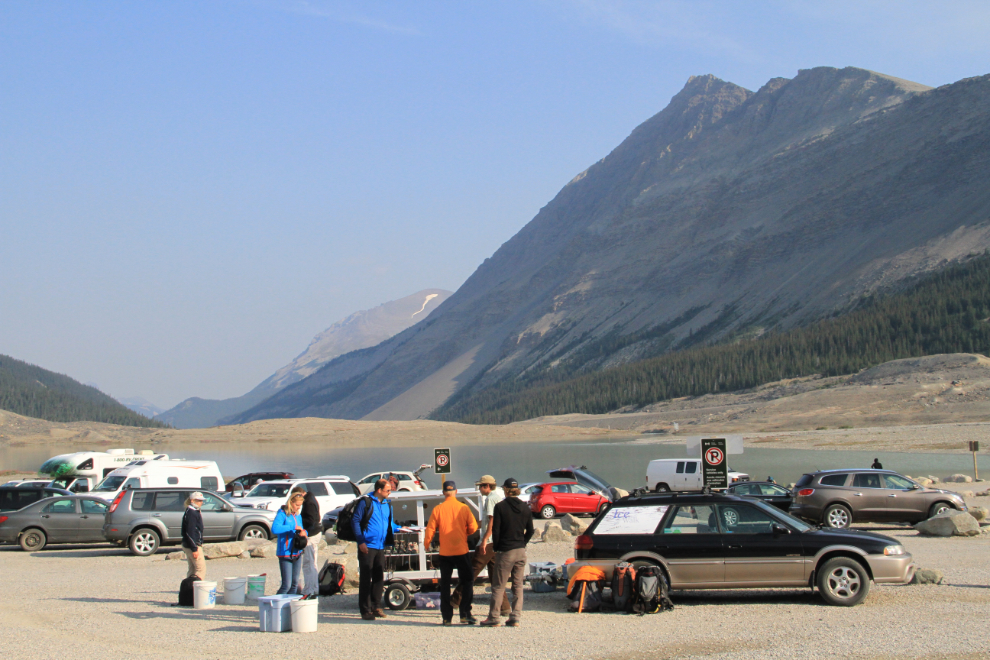
When I got back to the parking lot at 08:40, it was starting to get quite busy, and many people were gearing up at this car for an Ice Walk.
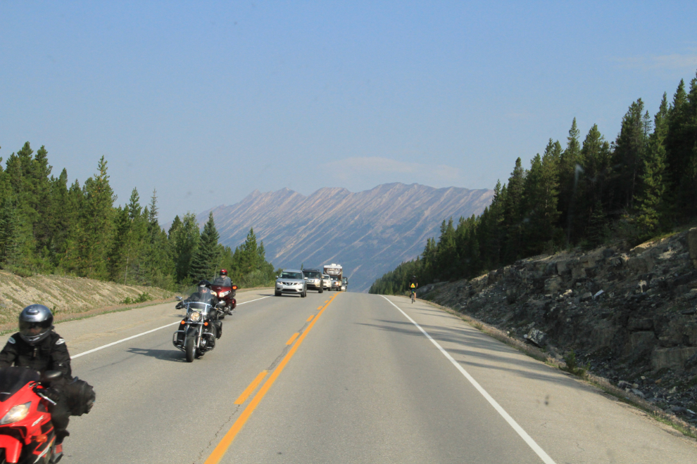
As the highway got busier and wildfire smoke limited visibility more and more, I quit making photo stops. There seemed to be almost as many motorcycles on the highway as there were any other type of vehicle.
I’d be seeing my son and his family in a couple of weeks, so didn’t even stop in to see them. Right at 11:00, I crossed the Athabaska River on Highway 40 north of Hinton.
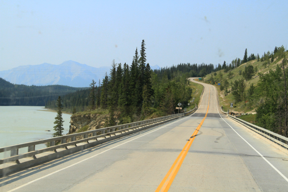
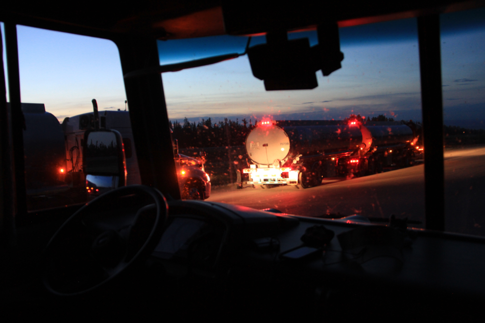
It’s possible to get stuck behind some heavy/slow loads on Highway 40…
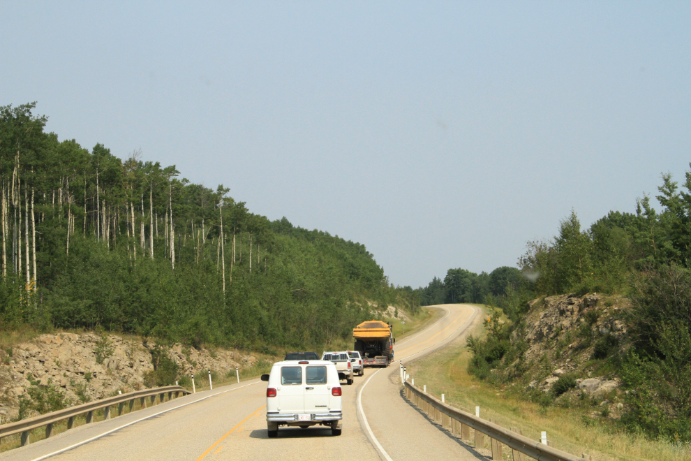
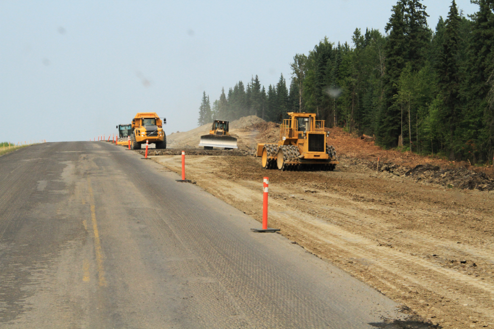
…but more and more multi-lane sections are being built to minimize those delays.
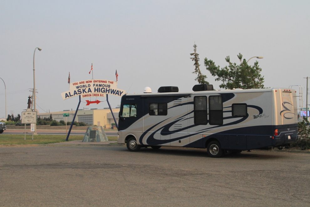
I powered through to Dawson Creek, only stopping for a final load of cheap Alberta gasoline at Beaverlodge. At 5:30, my first Dawson Creek stop was at Stuie’s Diner for dinner, then the obligatory “Mile 0” photo – the start of the road I live on, with only 900 miles to go. As you can see, the wildfire smoke had gotten very thick – it was eye-and-throat-burning strong.
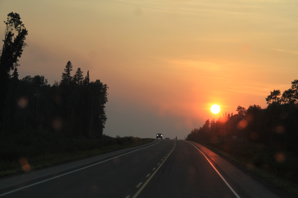
The wildfire smoke thinned rapidly after Fort St.John, but there was still enough to produce a dramatic evening sun at 8:17, just before it dropped into a layer of clouds.
Just before 10:00 pm, I parked at a truck brake check at the top of the long, steep hill south of the Sikanni Chief River. It’s not a great spot to camp, but I expected that this would be a fairly short sleep, and the truck noise doesn’t bother me.