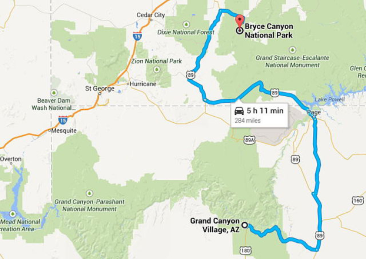
Day 3: Grand Canyon to the Utah border
To tell you about Day 3 requires more than one post – after editing, I have 537 photos in the day’s file. So I’m cutting this one off at the Utah border, which I reached just after 3:00 pm.
This was the planned route – seems simple and short enough for an easy day. Having 2 Bucket List destinations and many other sights of interest made it much longer, and a very odd GPS routing even more so. Click here to open an interactive map of the route, in a new window.
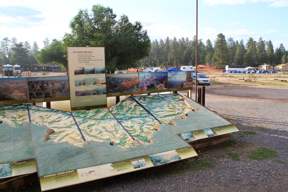
Before I left the Grand Canyon Camper Village I did some poking around, and found this 3d map with some great information for my route out, on Hwy 64 (Desert View Drive) along the South Rim of the Grand Canyon. In the background you can see the camp site and motorcoach of the French students I mentioned yesterday.
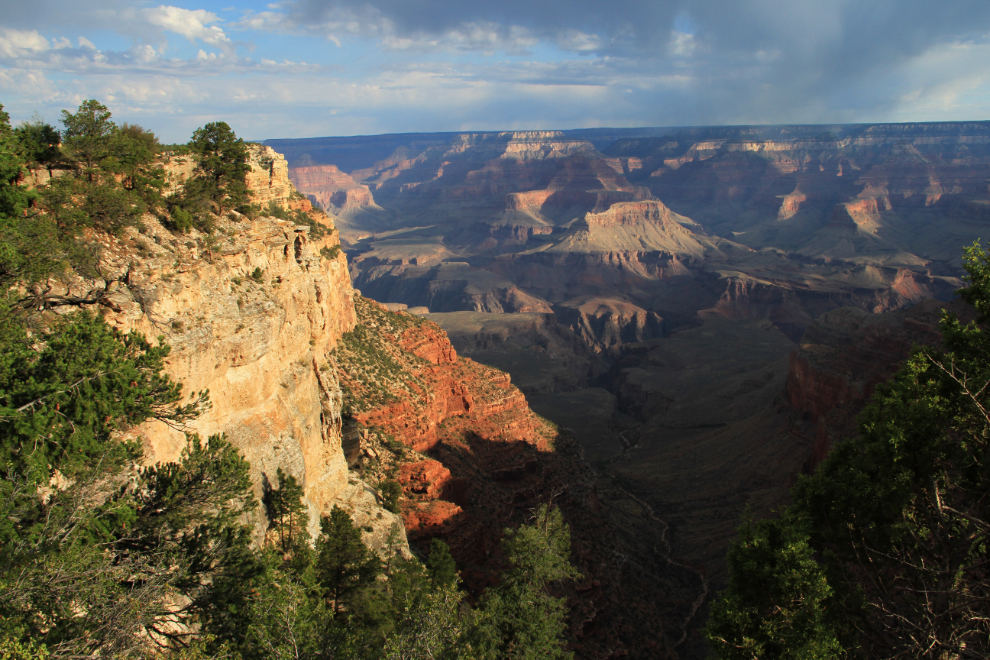
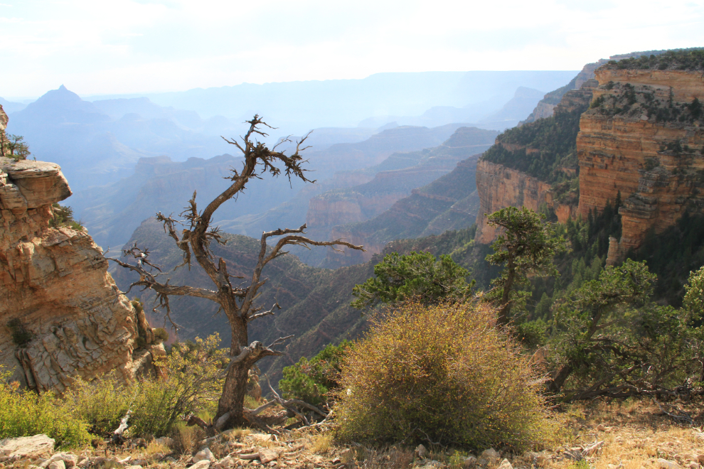
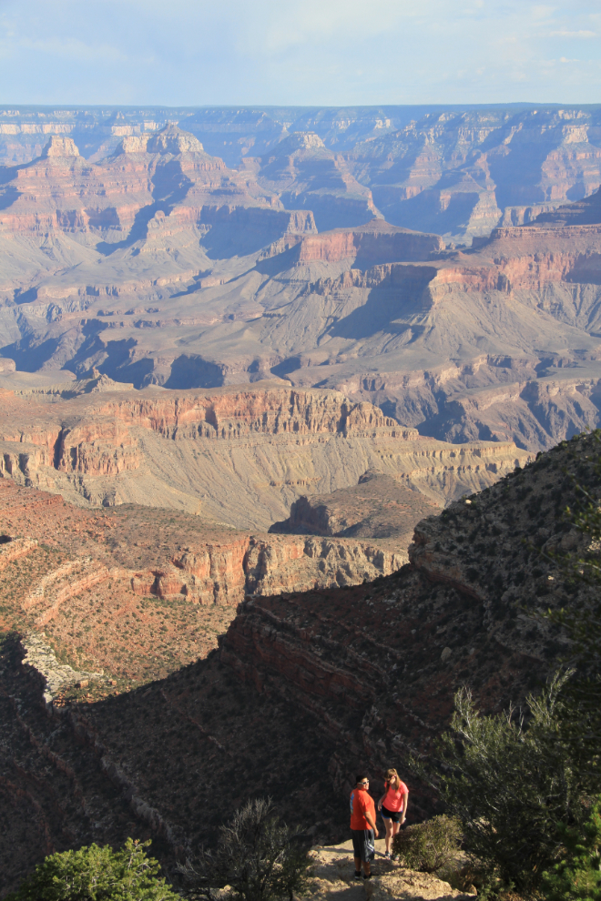
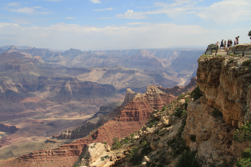
I pulled away from the RV park right at 07:00, and 20 minutes later my touring day got off to a spectacular start with this view from the side of the road between Mather Point and Yaki Point (see map).
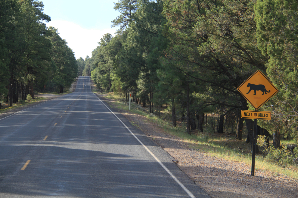
My first-ever cougar crossing sign! (a.k.a. puma or mountain lion) No cougars, though 🙁
I hadn’t expected the road to be so incredible, and made a lot of stops.
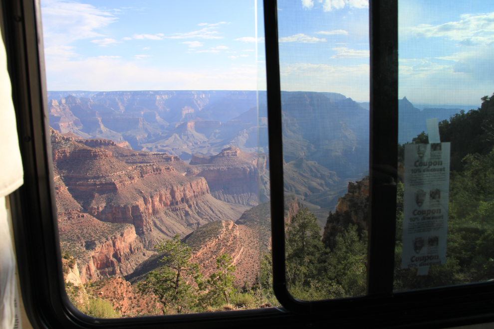
Many of the views are available without any walking – this was the view out the side window of the motorhome.
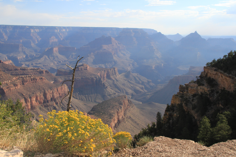
The same view as above, from ground level.
A few minutes after 08:00, there were still very few people around. Much better than yesterday afternoon at Mather Point.
This view reinforced my feeling that a person could spend their entire life studying and exploring the Grand Canyon. At left center is Horseshoe Mesa, and the mostly-cleared oval at the bottom right is the site of the Last Chance Mine, where copper was mined starting in 1890. This view is from Grandview Point, from where a “steep and rugged” trail takes hikers 3 miles (4.8 km) to the mesa 2,500 feet below.
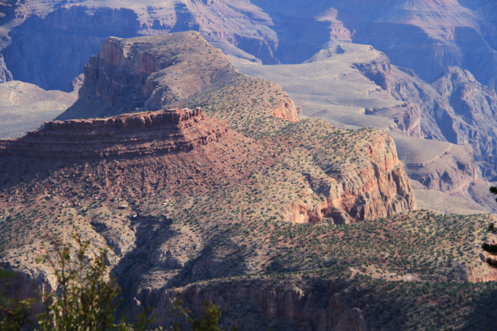
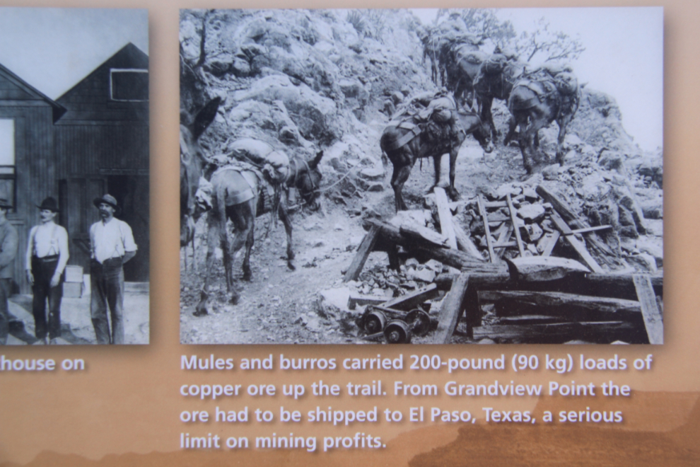
Life at the Last Chance Mine was hard for both men and animals, but the mine operated until 1907 when copper prices crashed.
The patterns and colours change constantly – fascinating and captivating, and I soon resigned myself to this being a very long day 🙂
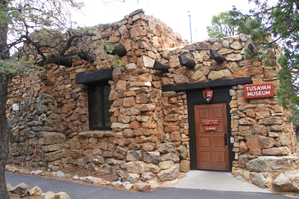
I reached the Tusayan Museum and Ruin at 08:45, a few minutes before it opened, and had the large site pretty much to myself. Tusayan was a thriving Pueblo Indian community some 800 years ago, as illustrated by its pottery, arrowheads and other household artifacts.
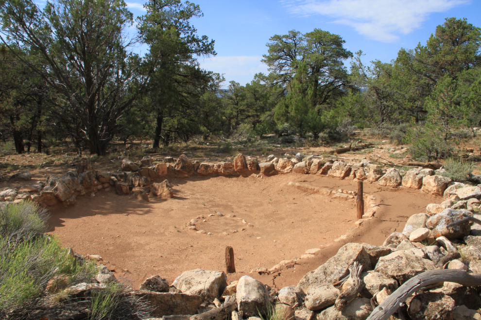
This is the foundation of the kiva, the Tusayan’s ceremonial and spiritual center.
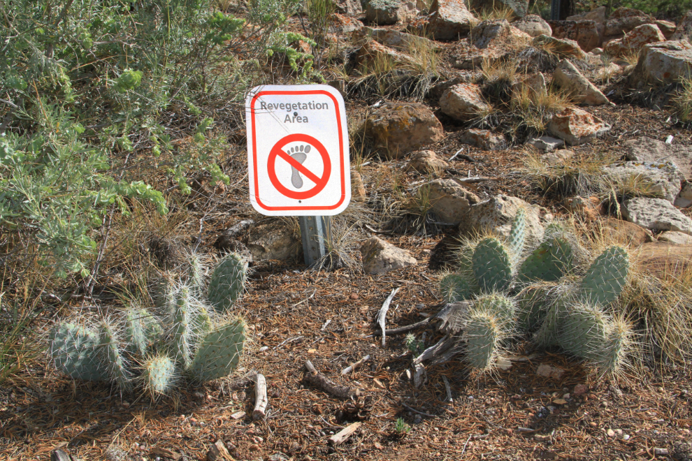
This struck me as funny – the type of vegetation would tend to discourage the barefootin’ the sign warns against 🙂
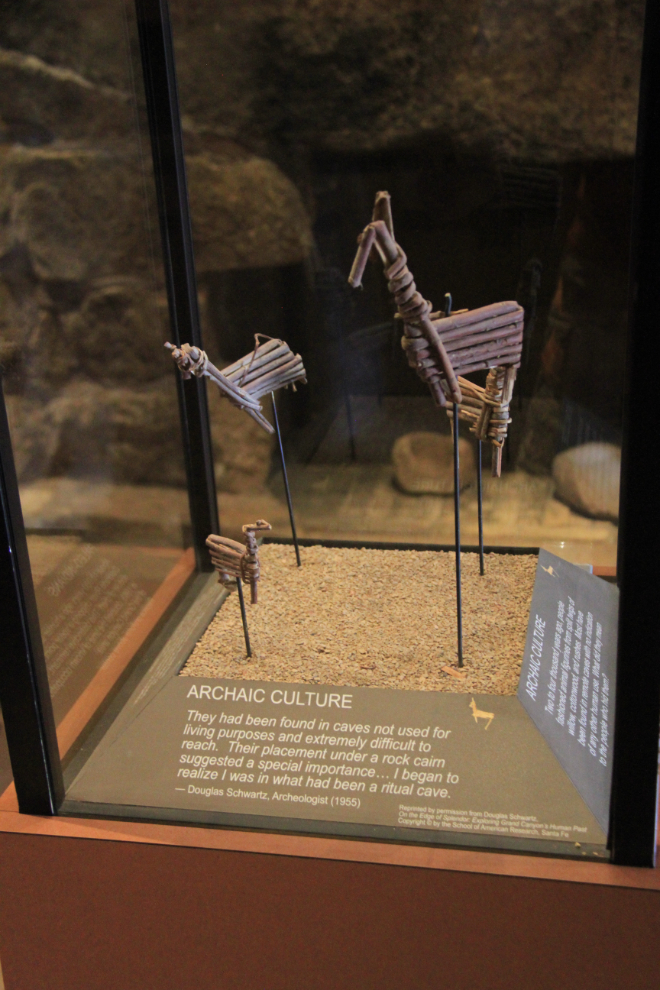
Between 2,000 and 4,000 years ago, people made these animal figures from split twigs of willow, cottonwood and rushes. They’ve all been found in remote, hard-to-access caves with no sign that they had been lived in, so they have a special meaning, though exactly what can only be guessed at.
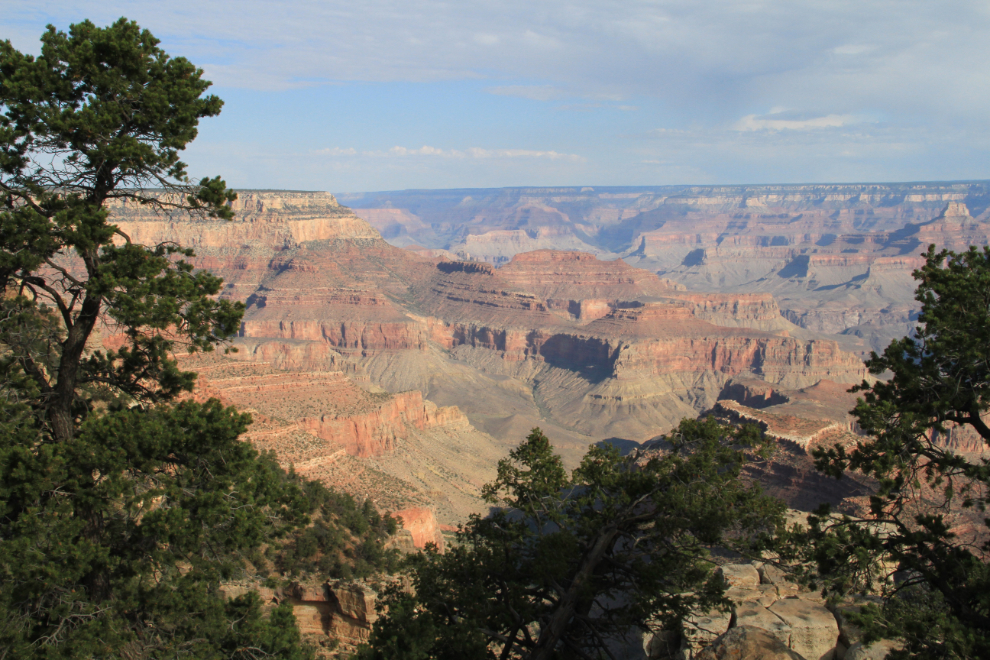
The view from Lipan Point.
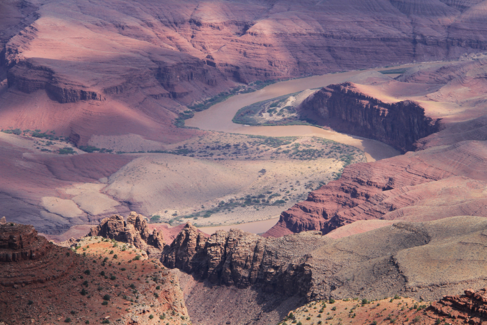
In the 1960s, archaeologists discovered that the Unkar Delta, seen in this photo, was the site of a thriving agricultural village 1,000 years ago. One of many such villages along the canyon’s bottom, the people here grew corn, beans, squash and cotton on terraced fields.
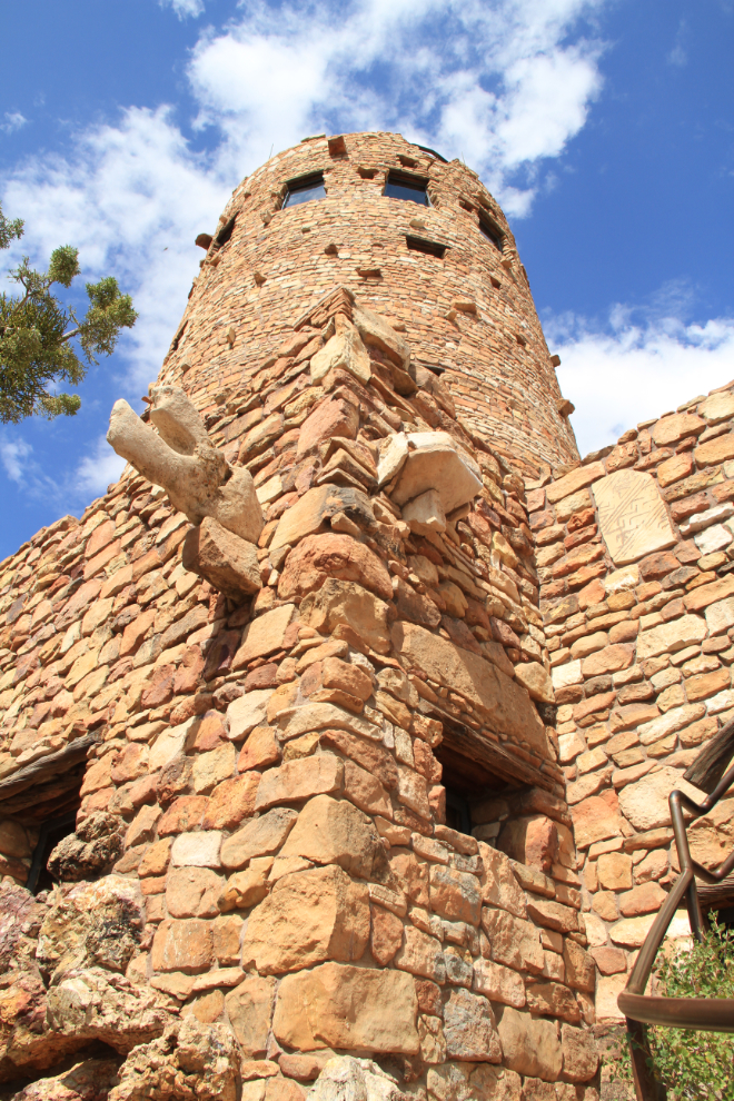
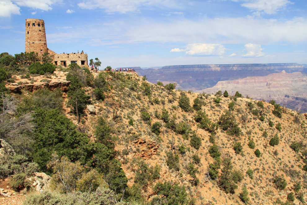
The Desert View Watchtower, 70 feet high and built in 1932, was designed by architect Mary Colter.
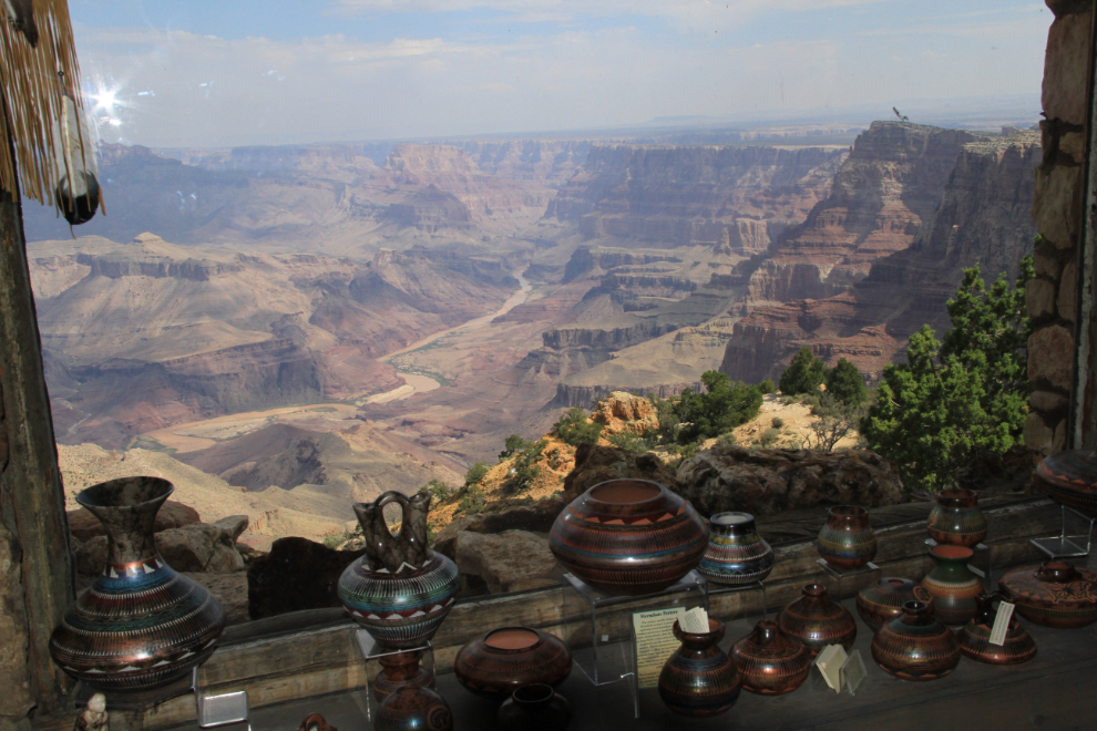
The gift shop in the Watchtower must surely have the most incredible view of any gift shop in the world. No, that’s not a mural, that’s looking out the window!
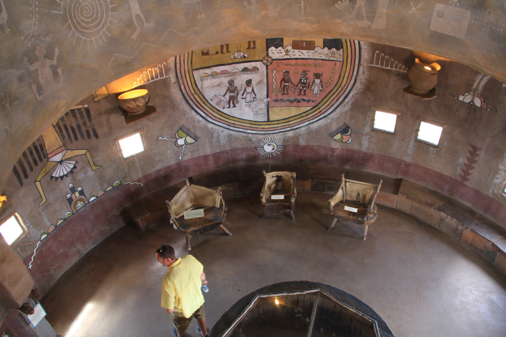
The interior walls of the Watchtower are covered in designs from the culture of the ancestral Puebloan people.
A long-abandoned trail along the canyon rim took me to this view of the tower. I had to keep reminding myself of the elevation of the South Rim – at Desert View, it’s 2,267 meters (7,438 feet).
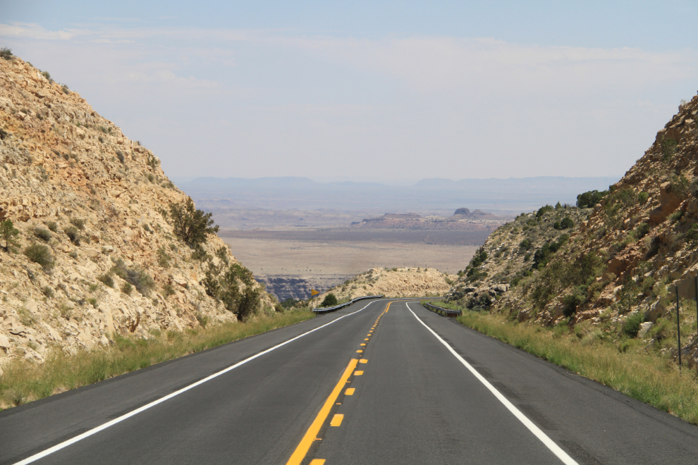
Dropping down to the desert along the Little Colorado River, at 10:50. I was starting to feel like breakfast might be in order, but there seemed to be few options!
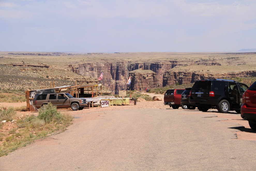
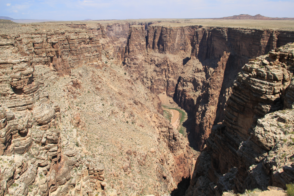
A sign pointing to a Scenic View, obviously of the dramatic canyon of the Little Colorado River, prompted a turn off the highway. As well as the trail to the viewpoint, there was a very large booth selling Navajo jewellery, the first of many along the highway.
The trail and view of the gorge were definitely worth the stop, though the access road was very rough.
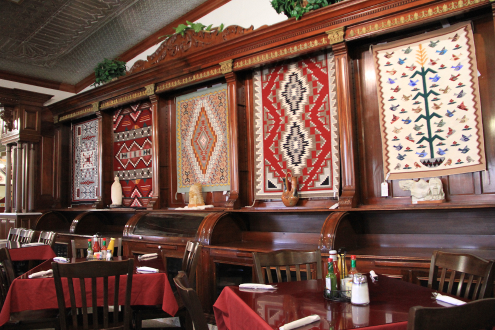
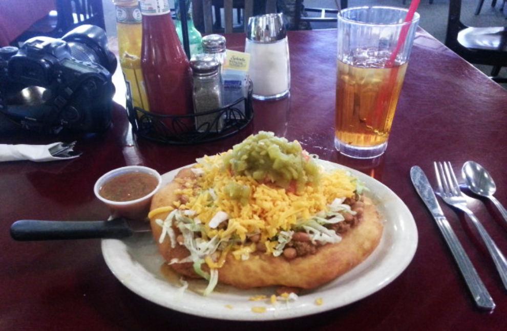
As noon approached, food became the prime focus, and just in time, the large Cameron Trading Post appeared right after I turned north on Hwy 89. The restaurant is beautiful.
And the Navajo taco was amazing – worth waiting for 🙂
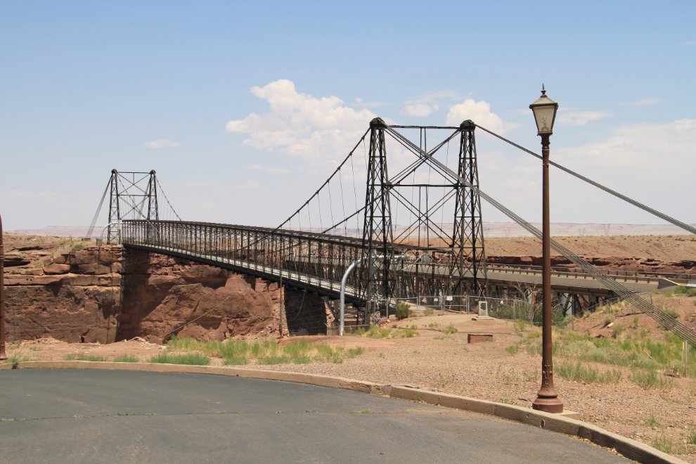
The Cameron Suspension Bridge crosses the Little Colorado River beside the Trading Post. Built in 1911, its main span of 200 meters (660 feet) was the longest suspension span west of the Mississippi River.
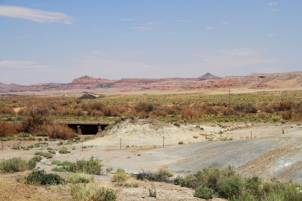
One of the things I noticed early in the trip was the virtual absence of rest areas or even pulloffs, but even now and then I took advantage of a wide shoulder to get photos, in this case of a bridge from the old highway, and the colourful bluffs beyond.
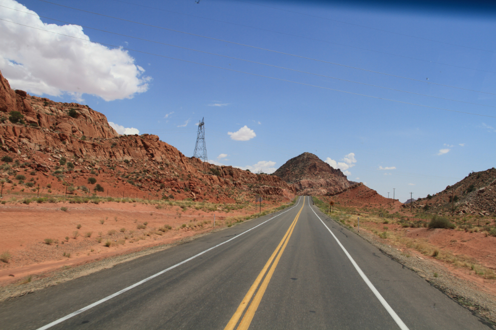
A detour to avoid construction took me onto Indian Route 20, now signed as 89T (Temporary), at 1:10 pm.
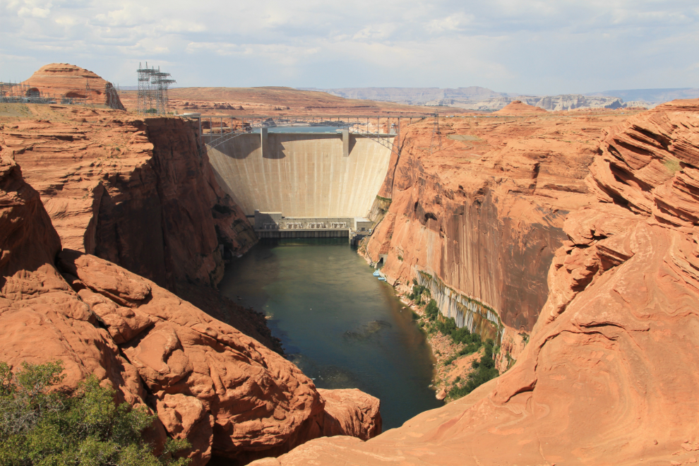
The Glen Canyon Dam on the Colorado River at Page prompted a couple of long stops and walks.
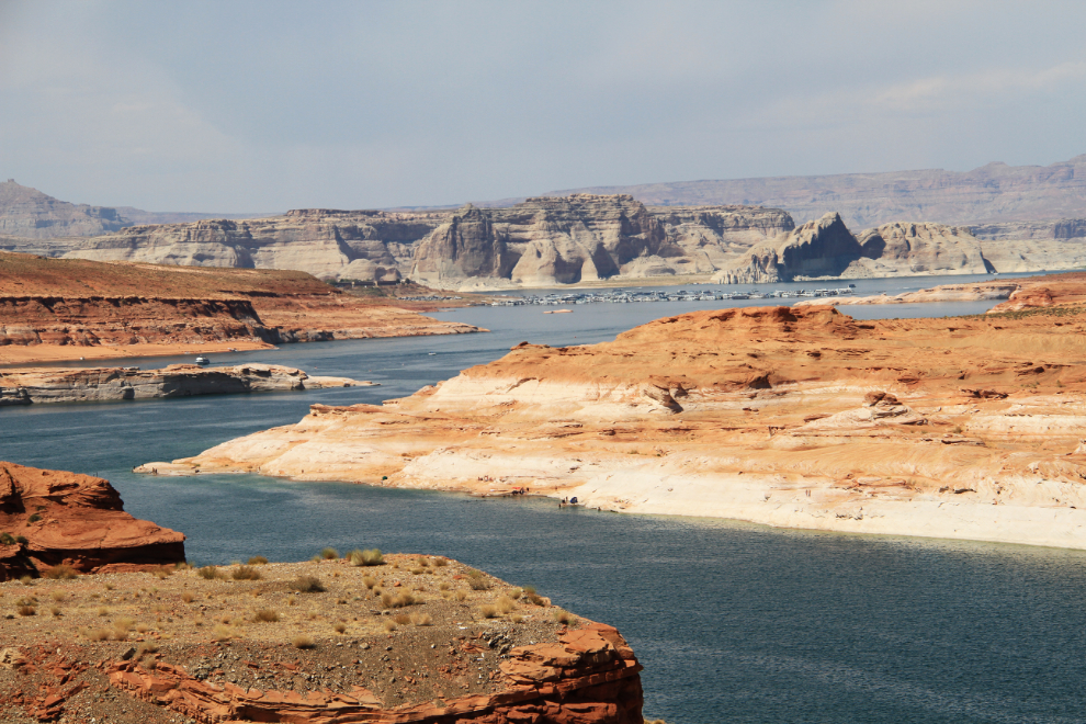
Lake Powell, formed by the Glen Canyon Dam, must be incredible to explore by boat. There seems to be almost no road access to it. A very large marina can be seen in the distance in this photo shot from the dam.
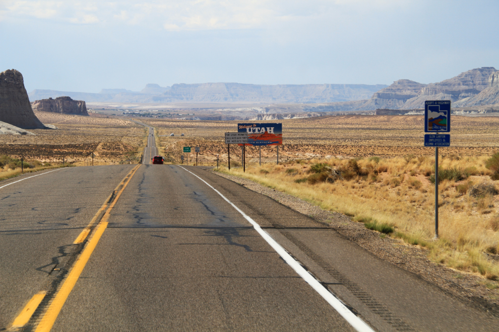
At 3:10 pm, I crossed into Utah on Hwy 89, my first time in the state. I’ll tell you about the rest of the day, getting to and exploring Bryce Canyon, tomorrow…