Road trip: Vancouver to Whitehorse in 46 hours: Day 2
Quesnel to Whitehorse, via the Stewart-Cassiar Highway
Having reached Quesnel at a reasonable hour Friday evening, I had a good night’s sleep and was away from the Gold Pan Motel by 4:30 am. I planned on a very long day, with Dease Lake the hoped-for destination.
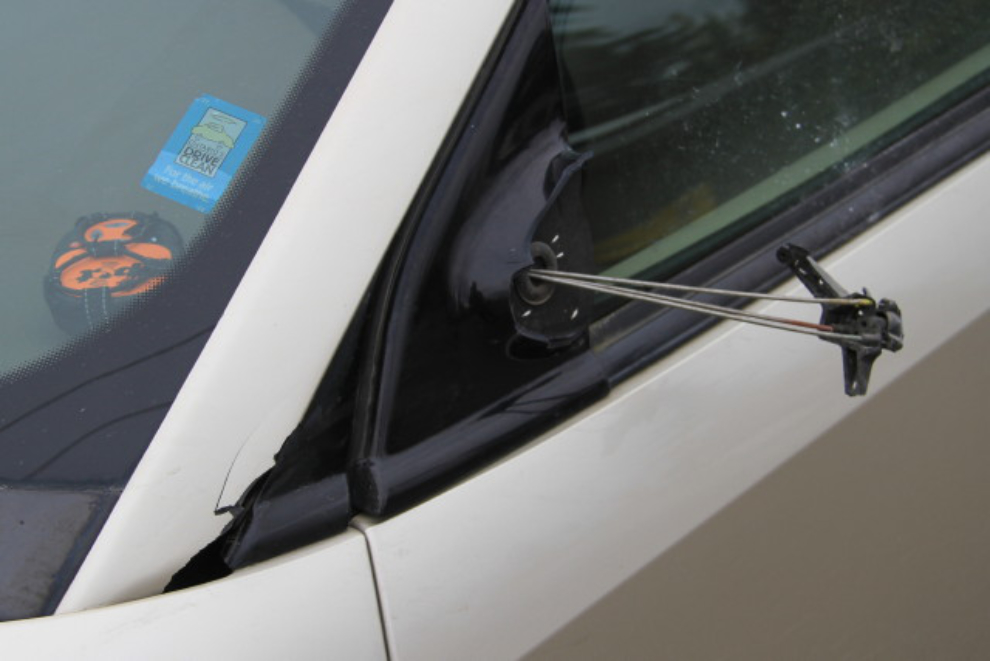
It was inky black and raining when I left Quesnel, but at least traffic was very light. I was thinking for a while about how oncoming headlights completely blind you, and the only way to stay on the road is by keeping your eyes on the right-hand painted line. Around 5:30 am, I found out the hard way just how true that is. For about 1 second, I saw a deer that had just walked across the road and had reached the right-hand side. I never did really see the one that tore the left-hand mirror off the car – just a split-second of something tan-coloured. By the time I got stopped, there was no deer on the road, but it certainly could have been badly injured. In all my years driving these roads commercially, that was the first large animal I’d ever hit – very distressing.
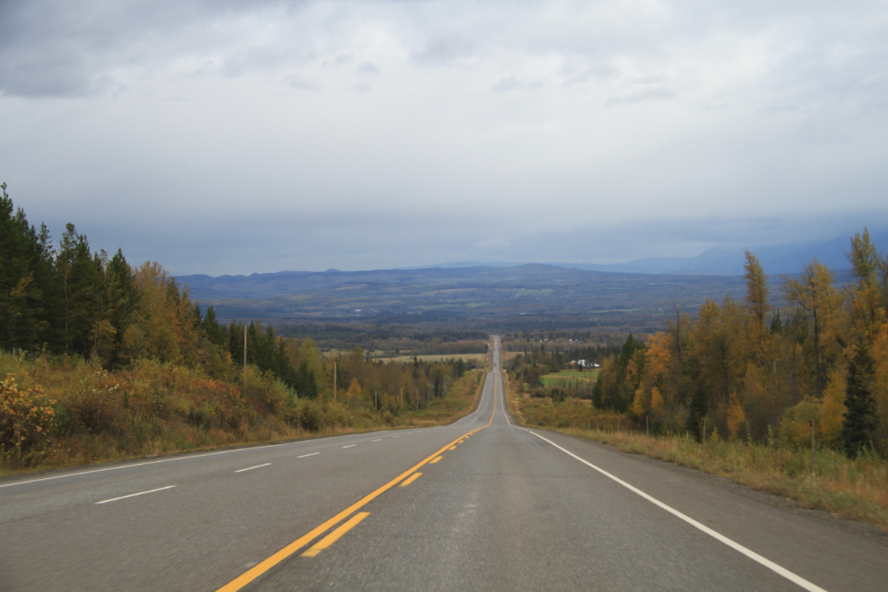
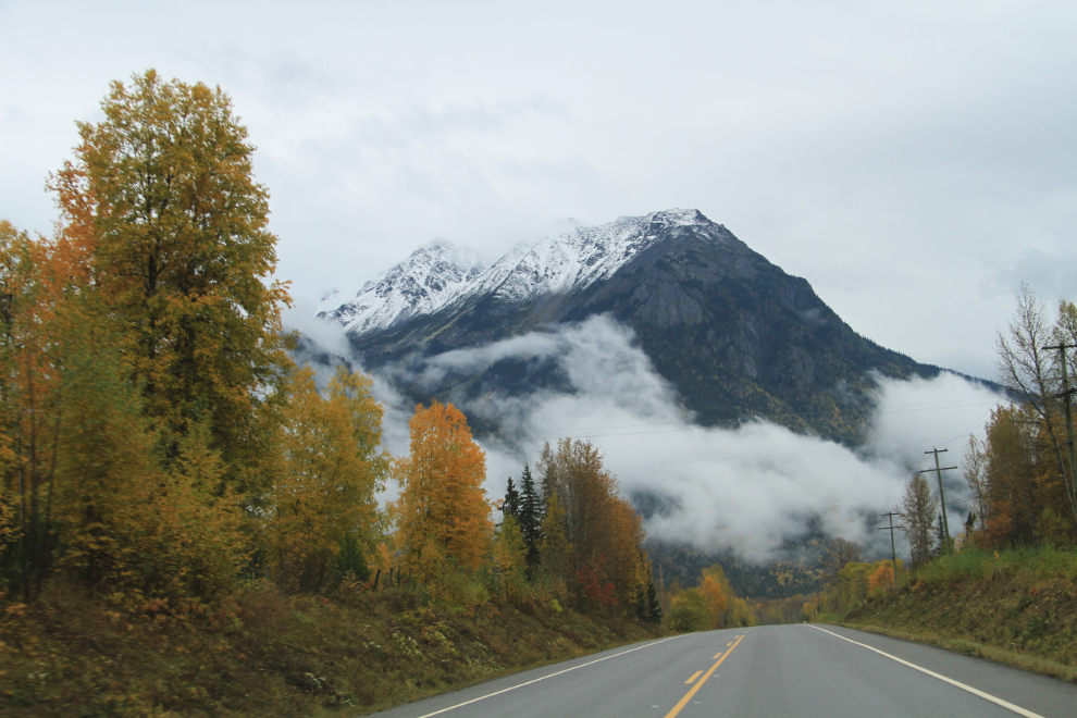
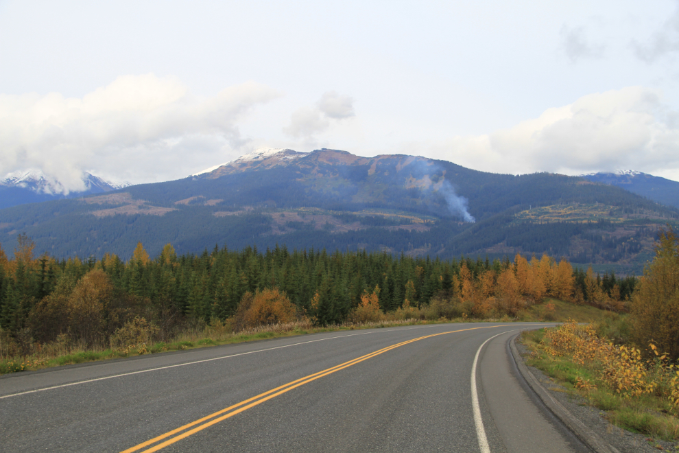
Heading west on Highway 16, the Yellowhead. In a good year, the Fall colours along this highway are stunning, but I’d heard that this wasn’t a very good year – more browns than golds.
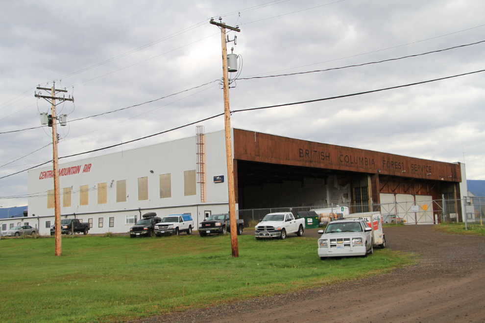
I stopped in at the Smithers airport to get some photos of a hangar that was built in 1942 and that I expect won’t be standing for too many more years.
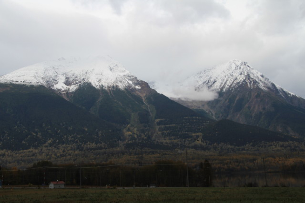
The view of Hudson Bay Mountain from the airport. In the large valley to the right in the photo is the Twin Falls Recreation Site, and I decided to go for another look – the last time I was there was in 1985 during a trip to the Yukon and beyond with my little Cessna.
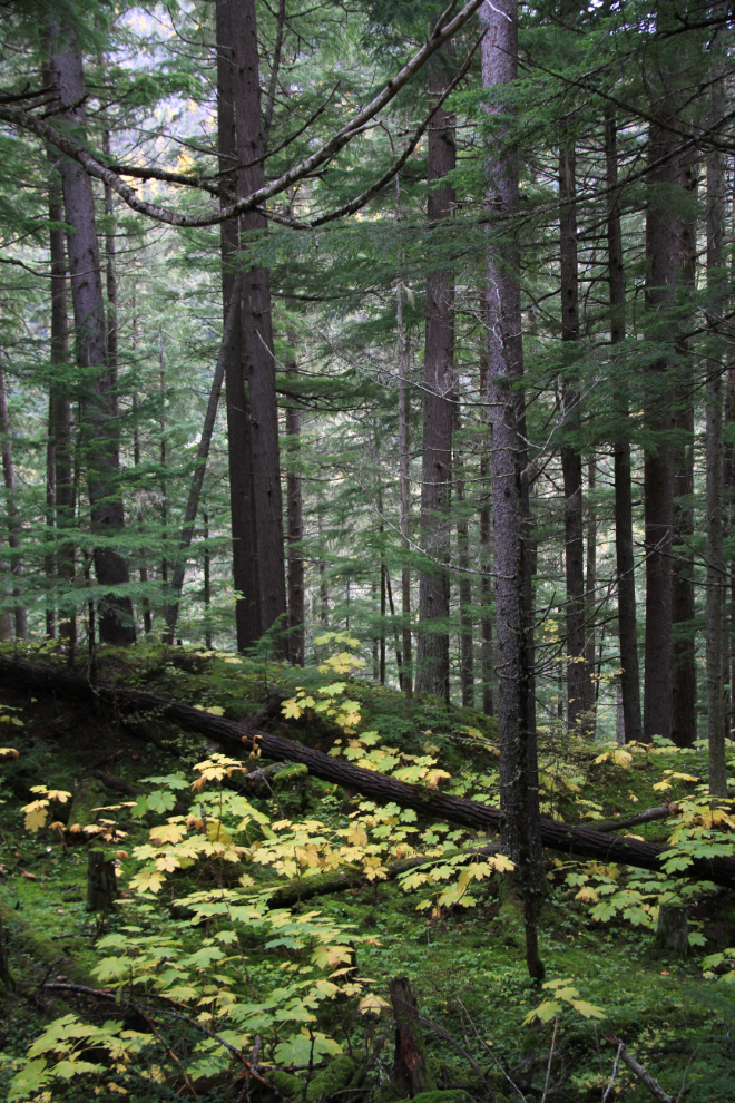
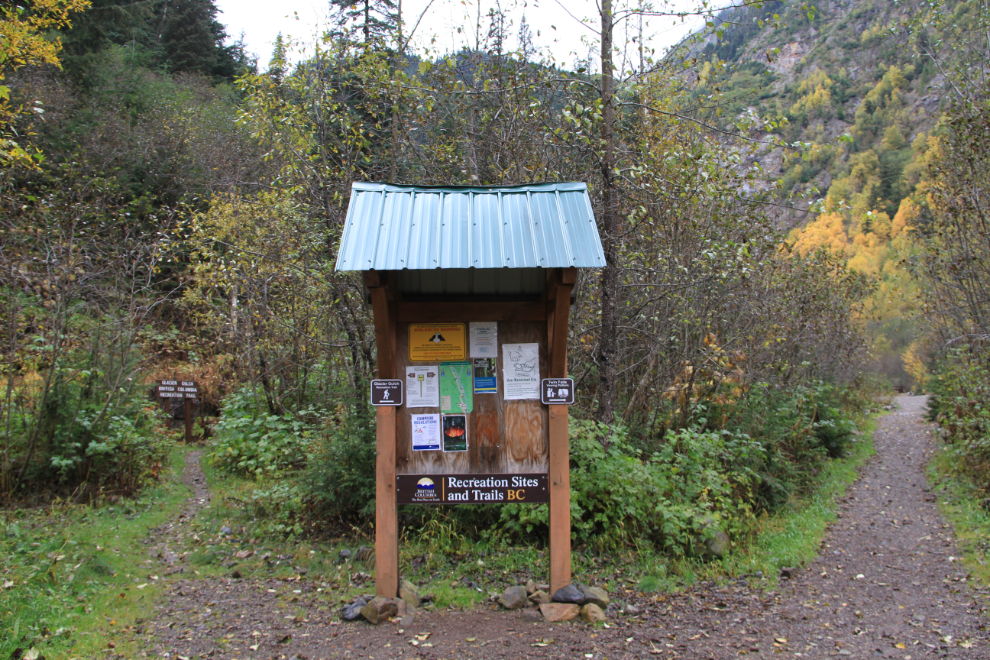
The beautiful forest along the steep and narrow road up to the Twin Falls Recreation Site.
A map of the Twin Falls Recreation Site, with an easy trail to the base of the eastern waterfall, and a much tougher one to the glacial cirque that feeds them both.
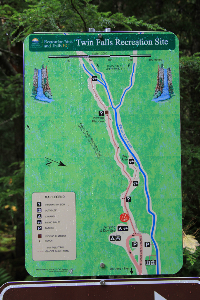
The long, tough trail is to the left, the easy one that I took is to the right.
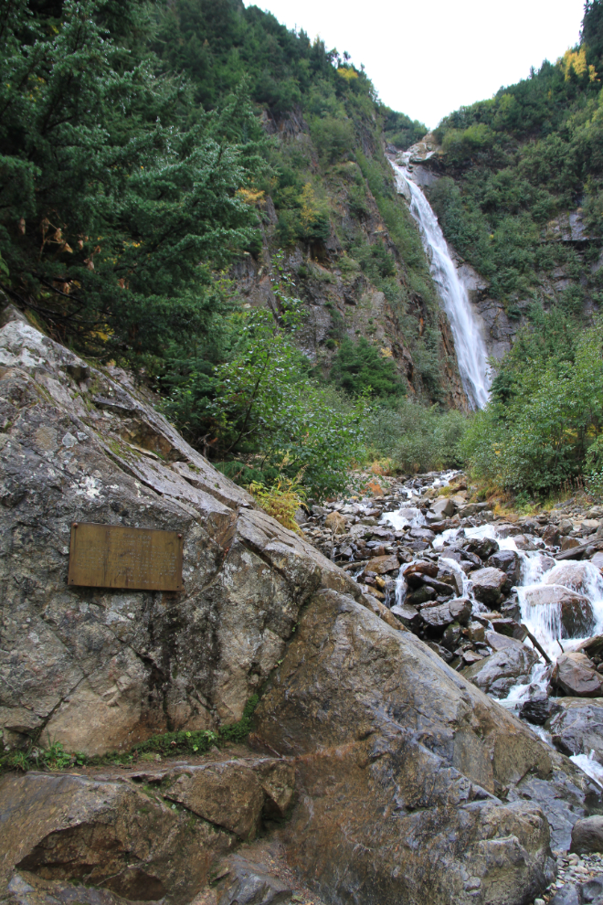
The eastern waterfall, with a memorial to Eric Paul Buss, who was killed here in an avalanche on November 27, 1991.
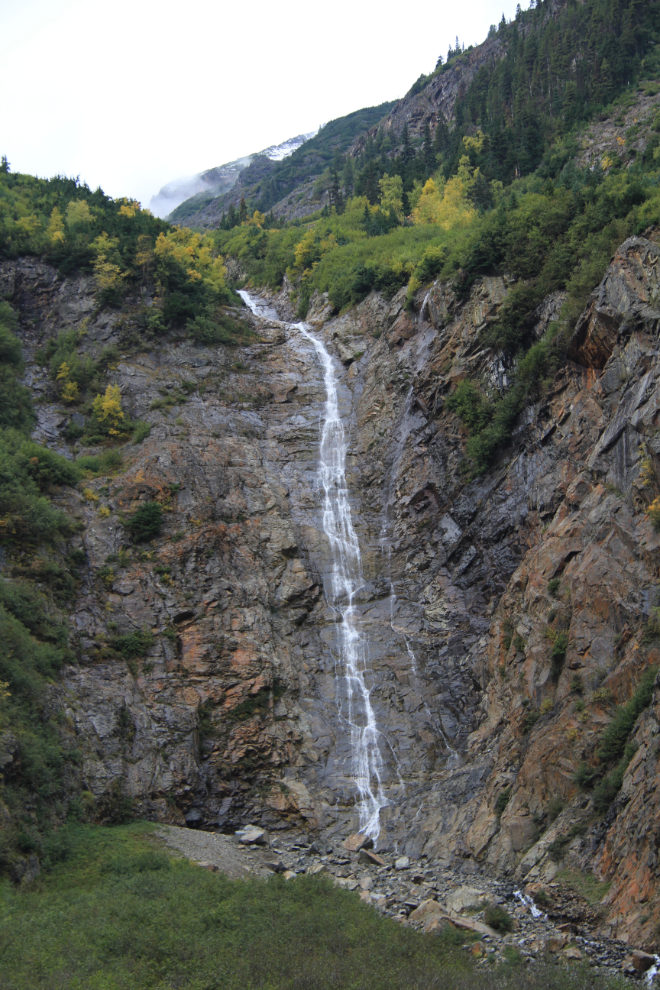
The western waterfall.
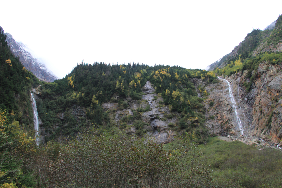
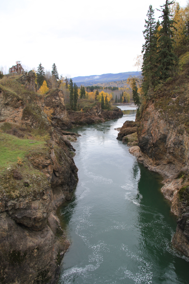
The broad view of both falls. Have a look at Google Maps to get a better idea of what’s above that view.
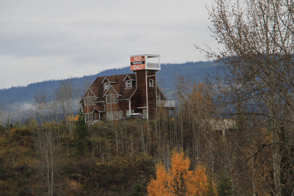
Along Highway 16, I saw a few signs opposing the Enbridge Northern Gateway Pipelines Project, but none more striking than this one at Moricetown Canyon. This is a very controversial proposal to construct twin pipelines 1,170 km in length, from Bruderheim, Alberta, to Kitimat, BC.
Moricetown Canyon on the Bulkley River, seen from the bridge on the Telkwa High Road.
The highway between Smithers and Hazelton in particular offers many photo ops, most of which I didn’t stop for.
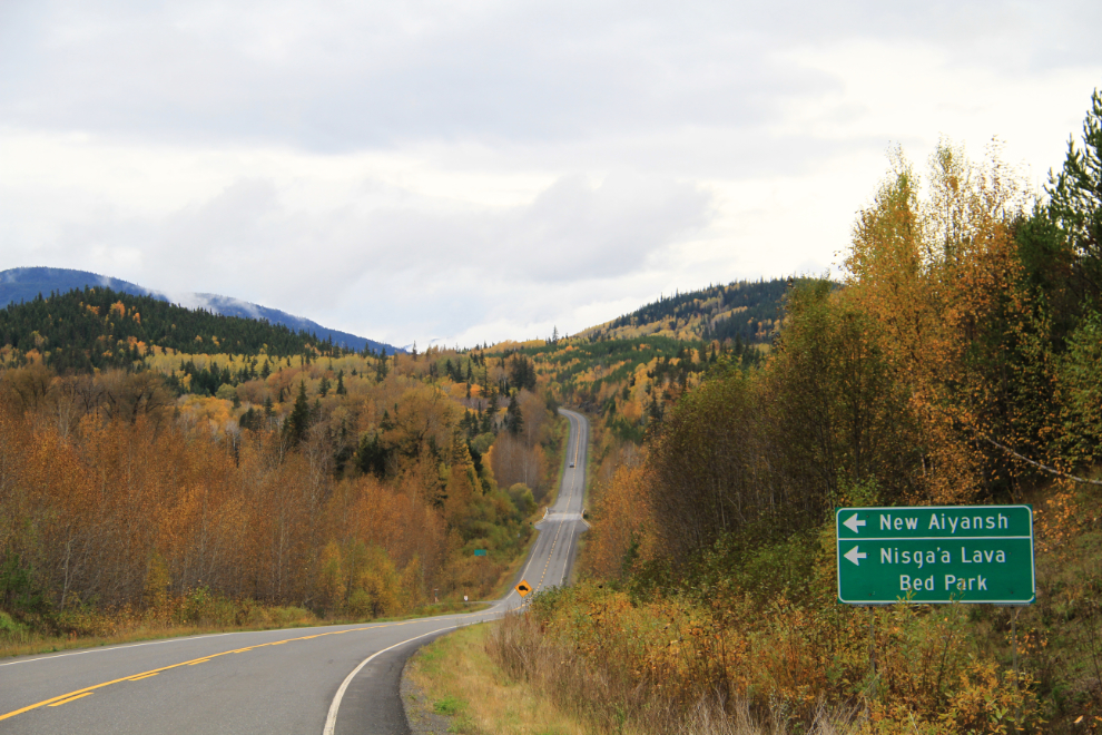
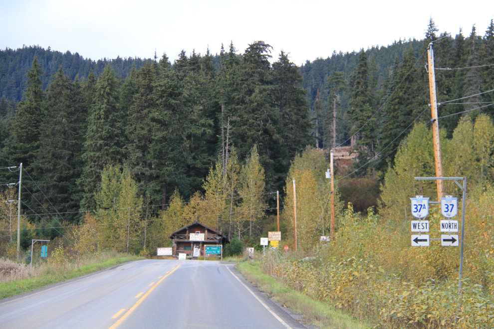
I stopped for lunch and a top-up of fuel at the junction of Highway 16 and the Stewart-Cassiar, and by 2:50 pm had reached Cranberry Junction. The Nisga’a Lava Bed Park off to the southwest is extremely interesting, worth a day itself.
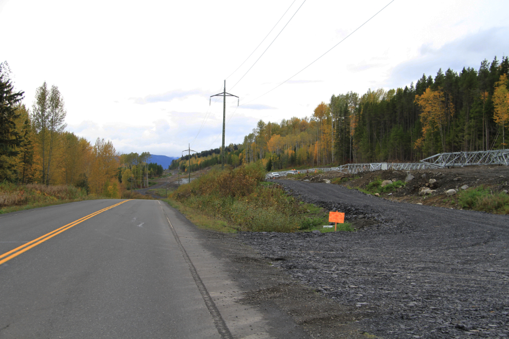
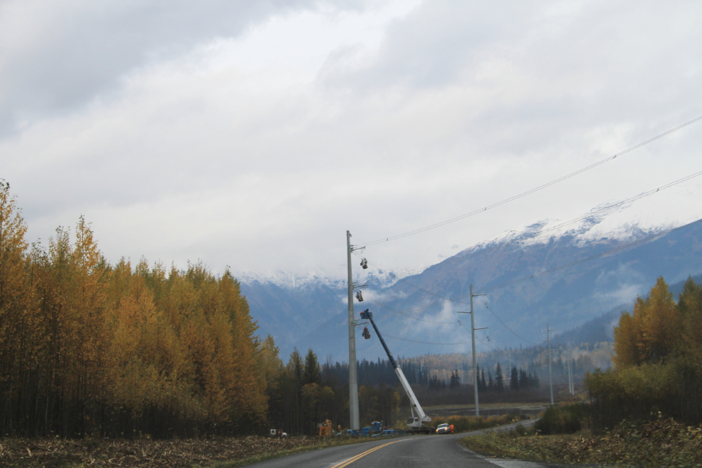
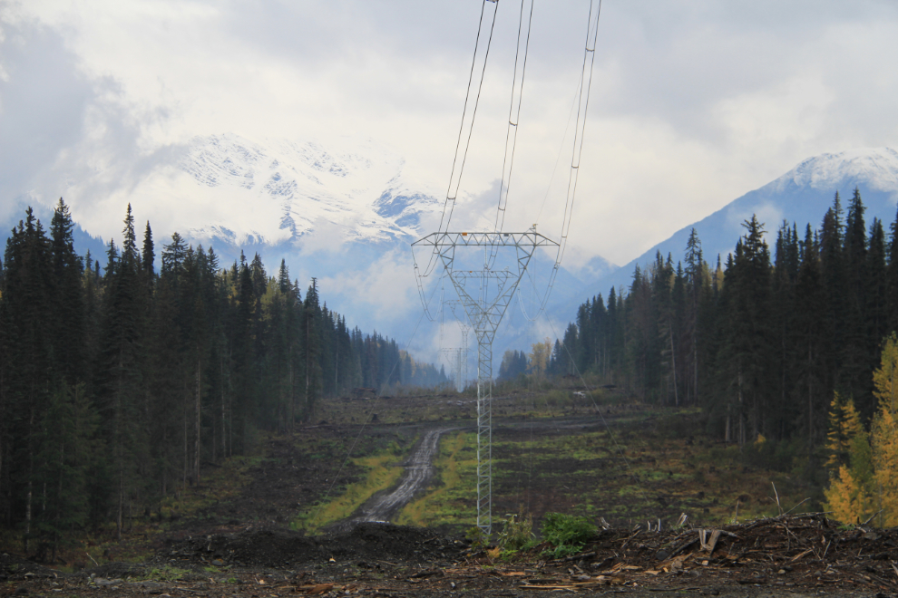
Over the past few years I’d seen some information about the Northwest Transmission Line, but didn’t know that construction is well underway. This is an approximately 344-kilometre, 287 kilovolt transmission line between Skeena Substation (near Terrace) and a new substation being built near Bob Quinn Lake at Km 197 on the Stewart-Cassiar, with a connecting line to Iskut at Km 406.
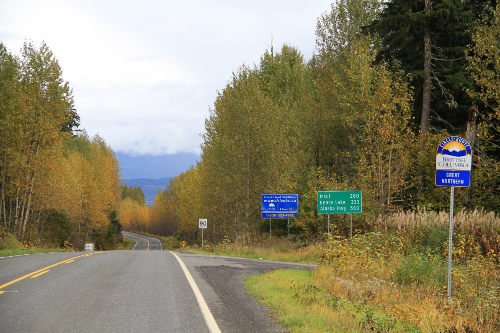
Meziadin Junction, at Km 97.5. To the left (south) 61 km is the town of Stewart, to the right 569 km is the Alaska Highway.
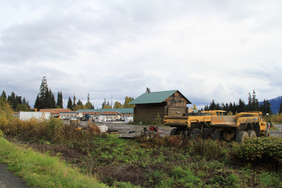
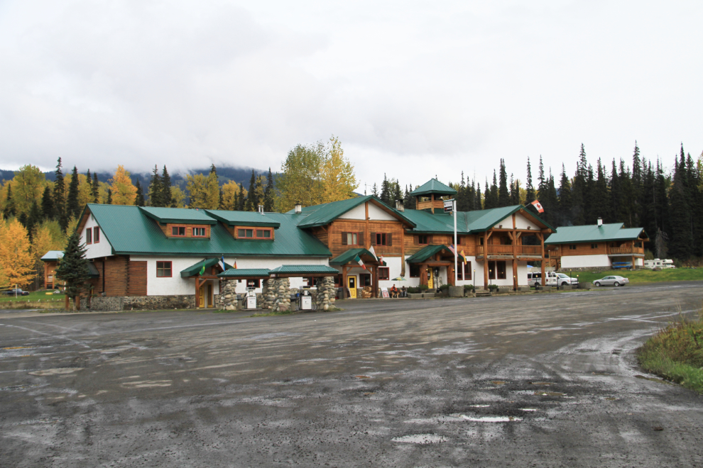
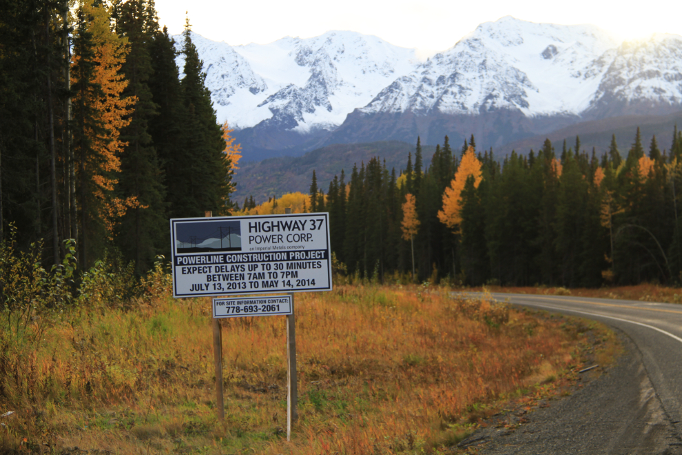
There used to be a lodge at Meziadin Junction, but it closed quite a few years ago. The owner of the property is probably doing well now, with a powerline construction camp on the site.
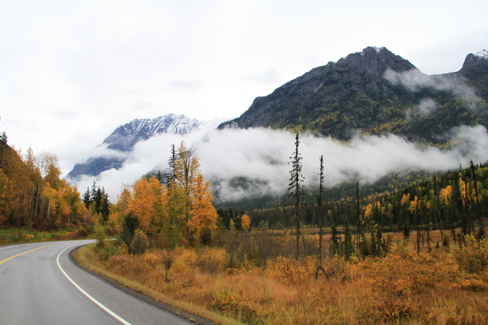
Heading north from Meziadin Junction at 3:50 pm.
The smoke is coming from clearing along the new powerline high on the slopes above the highway.
Along the Stewart-Cassiar, it’s a good idea to fuel up at almost every opportunity. The Bell II Lodge presents just such an opportunity, and the price wasn’t bad at $1.45 per liter.
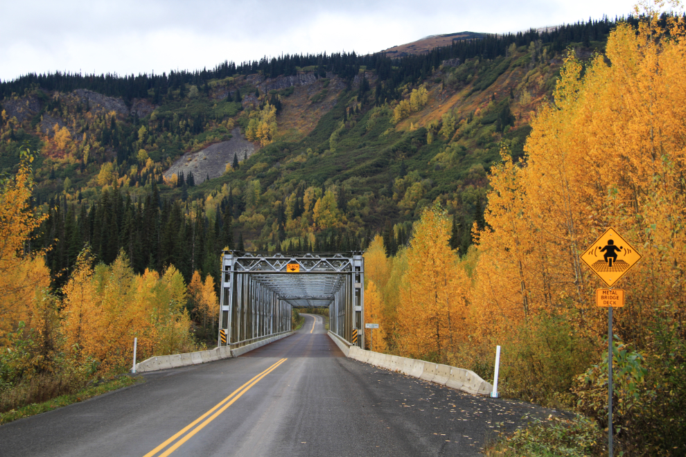
The second crossing of the Bell-Irving River is a few hundred yards north of the lodge (so Bell II). The yellow sign warns motorcyclists that this is an open-grate metal deck bridge (awful things on a bike!).
The unspoiled wilderness that made the Stewart-Cassiar unique is certainly history 🙁
There were a few signs warning of possible lengthy delays due to the powerline construction, but I didn’t hit any.
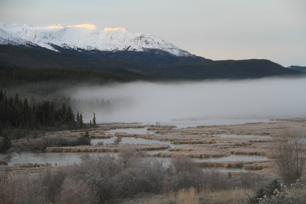
Sunset was at 6:58 pm, when I was at Gnat Pass, south of Dease Lake. I had packed my Arctic sleeping bag in case I decided to sleep in the car, and that’s what I did on Saturday night. I actually had 3 sleeps of varying lengths between Dease Lake and Nugget City on the Alaska Highway – 3 hours, 2 hours and an hour and a half. I hit a lot of fog and some rain during the night, so driving was exhausting at times.
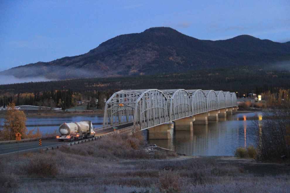
This shot of the Nisutlin Bay Bridge at Teslin was taken 35 minutes before the 8:10 am sunrise on Sunday morning.
Sunrise along Teslin Lake at 7:45 am.
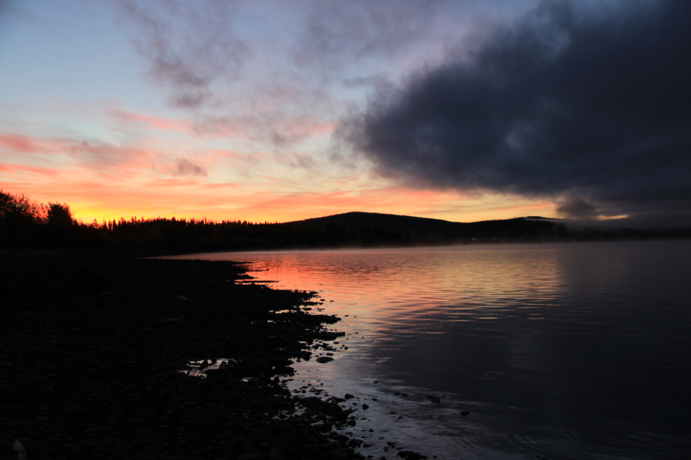
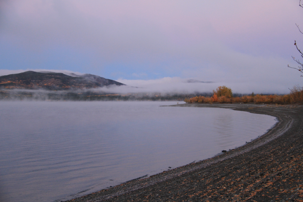
Further down Teslin Lake 11 minutes later.
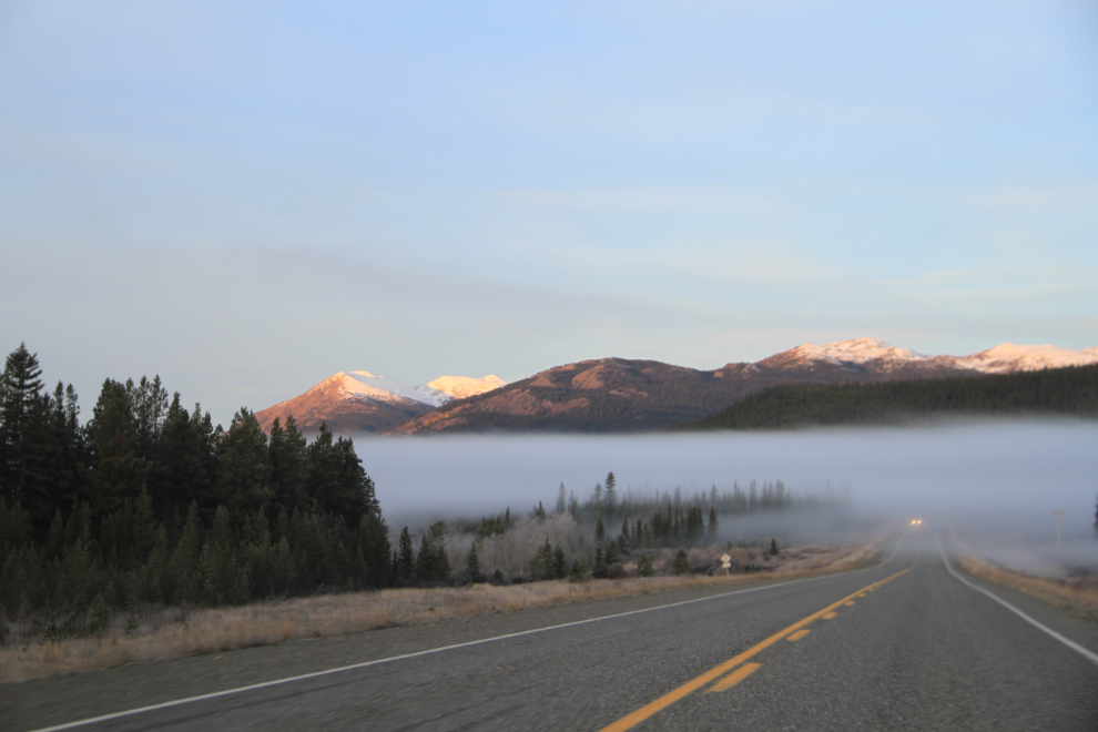
This spot west of Johnson’s Crossing is a good location to see caribou. Although I didn’t see any this time, I did make a U-turn to get some fog photos.
And that was it – I got home, fairly well rested, just after 9:30. Cathy hadn’t expected me back so soon and had a plan for the day, to do a road trip to Braeburn for lunch with my niece. Of course, I invited myself to join them!