Driving from Vancouver to Whitehorse in 46 hours: Day 1
Richmond to Quesnel, via the Fraser Canyon and Cariboo
I’ve just returned from another trip, short in time but long in miles. A friend from Vancouver has just moved to Whitehorse, and when I found out that she’s not a fan of long-distance driving, I offered to drive her car up for her.
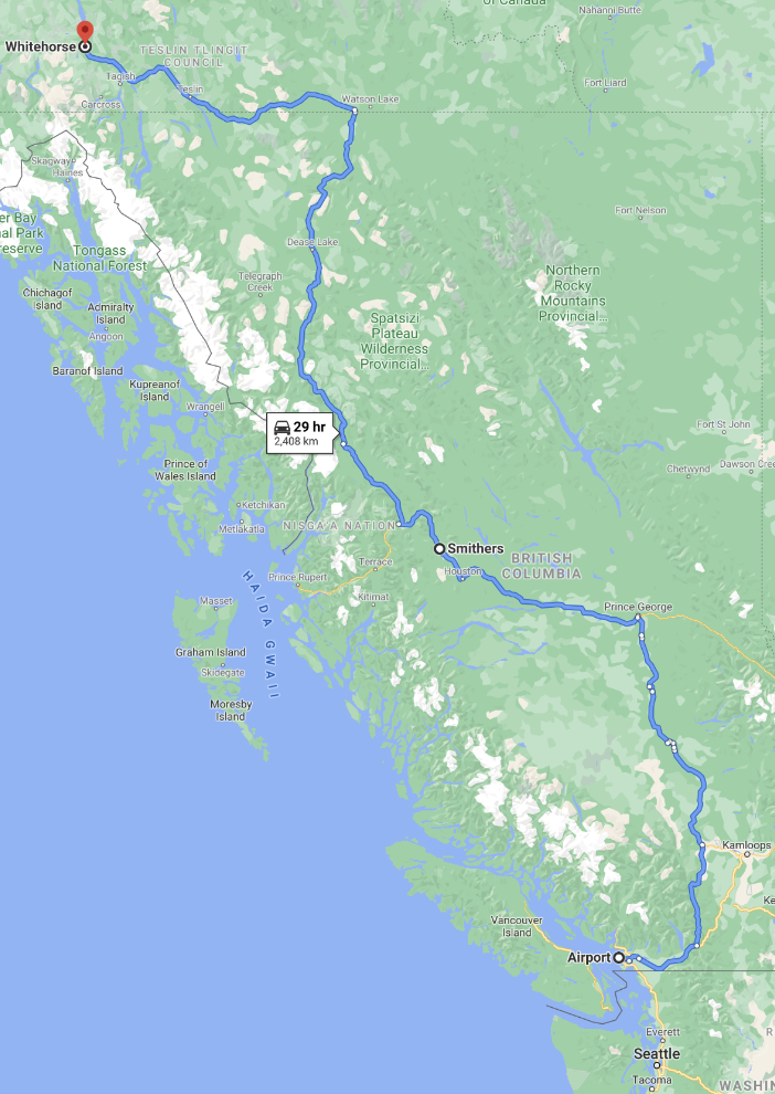
The route from the Vancouver airport to Whitehorse via the Stewart-Cassiar Highway is 2,408 km (1,497 miles) – that’s 13 km further than from Vancouver to Ensenada, Mexico!
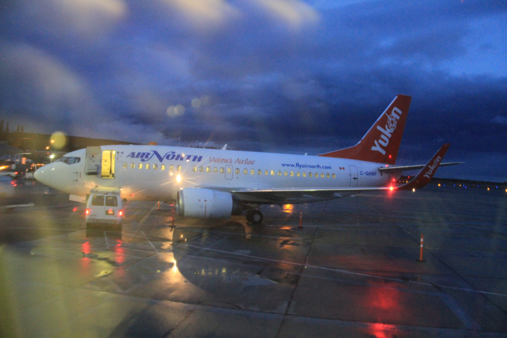
By 7:40 am on Friday, I was settled in my seat in an Air North 737, watching the action on the ramp.
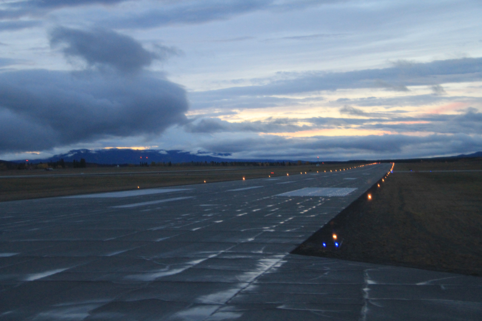
At 8:02 we were lining up to take off, and a few seconds later, we were on our way.
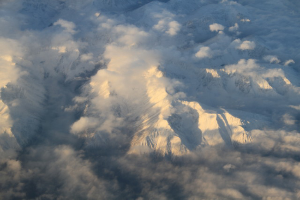
As expected, we were in the clouds almost all the way – I slept for about an hour, but woke up to get a glimpse of some of British Columbia’s coastal peaks, probably in the Tweedsmuir Park region.
A friend of Laurie’s who works close to the airport picked me up in her car, and back at his workplace at about 10:45, handed me the keys and I was off. There’s no easy way to get from the airport to Highway 1, the Trans-Canada Highway. First, south on Hwy 99 towards the US border…
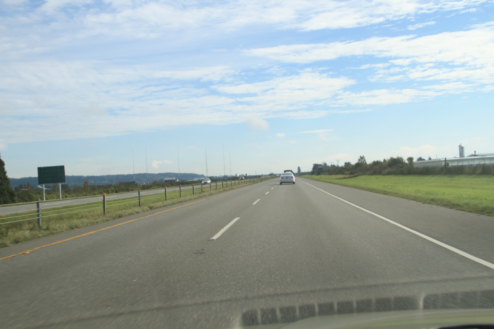
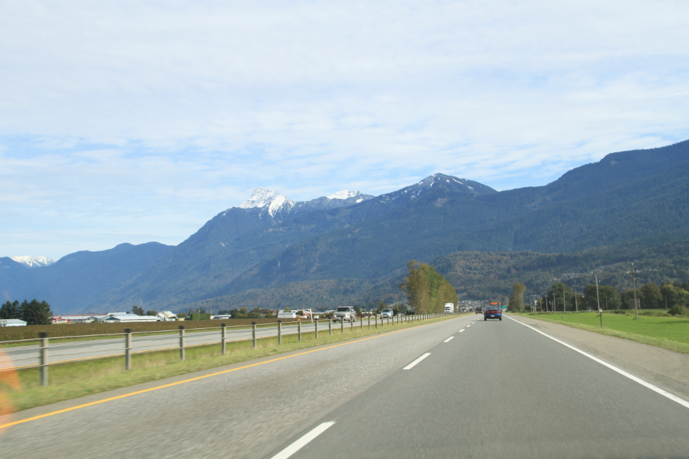
… then along a congested road through Surrey and Langley, finally getting to the highway, which was also very busy. I stopped in Chilliwack for lunch and to pick up some supplies, including batteries for SPOT so Cathy and Laurie could keep track on me on the SPOT Web page that I called ExploreNorth’s Wanders (it’s no longer active). At 1:40, I was north of Chilliwack in country that I know well and still enjoy, with Mount Cheam dominating the view.
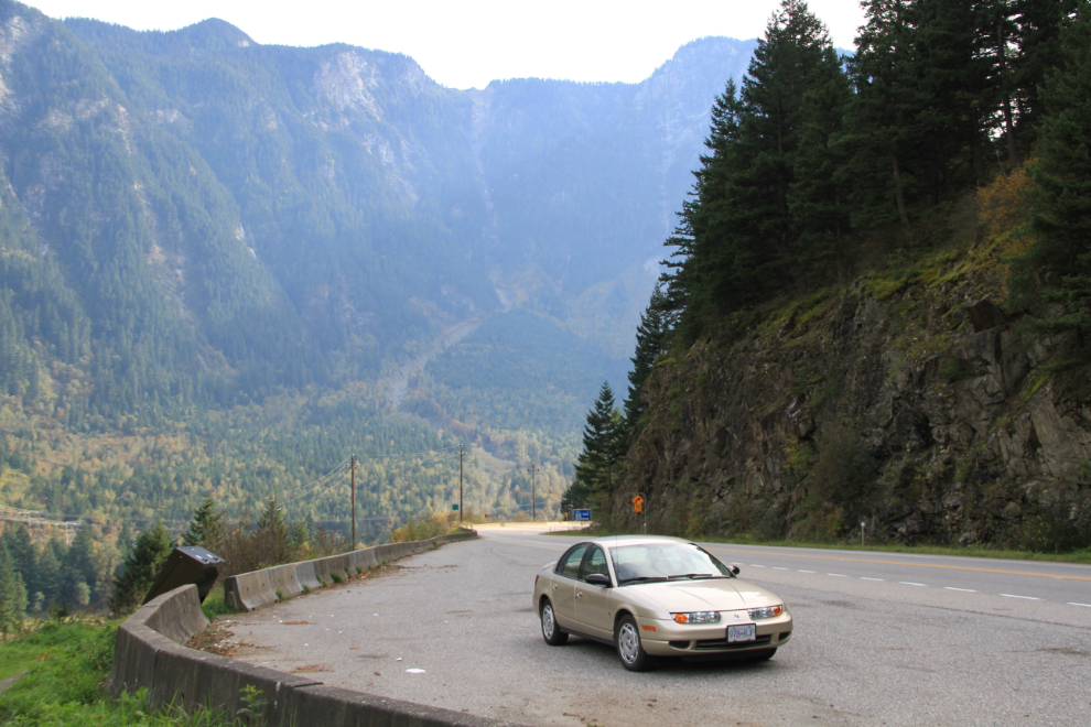
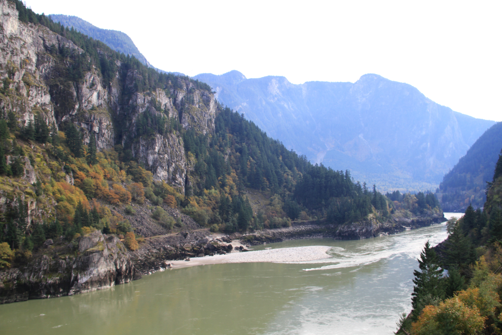
I’ve always loved the Fraser Canyon and with the weather much better than had been forecast, I knew that there would be a few photo stops. This is Laurie’s car, a 2000 Saturn with only 121,000 km on it. I never mind driving basic cars – I seldom use things like cruise control even in cars that have it.
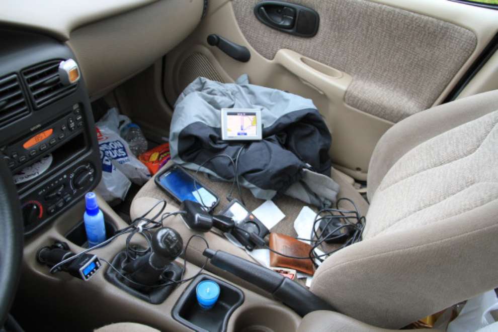
The geek’s road trip, with SPOT, iPod with FM transmitter, GPS, phone, 110 convertor, chargers, cables – and Cheezies 🙂 The back seat was full of travel stuff, too (including an Arctic sleeping bag and a case of bottled water), and the trunk was loaded with Laurie’s stuff. This is why hitch-hikers have no luck! It was mentioned to me that a phone can now also be a GPS and iPod, but I’m seldom in areas that have cell service, so that array of equipment can’t actually be consolidated.
I was surprised and disappointed to see that many of the pulloffs that used to provide photo ops have been blocked by concrete barriers, but there are still a few.
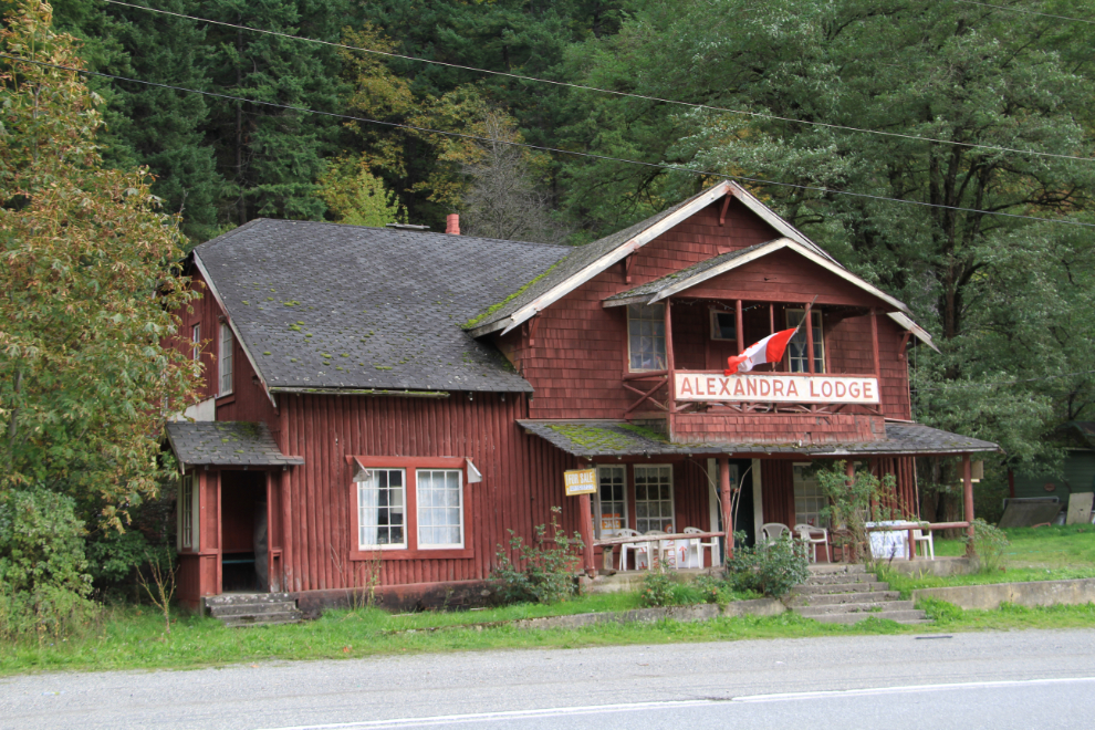
The sight of the Alexandra Lodge prompted a U-turn to get this photo. The Fraser Canyon landmark has looked like this since the 1930s – I’ve had a few meals there over the years, though the last was probably 40 years ago.
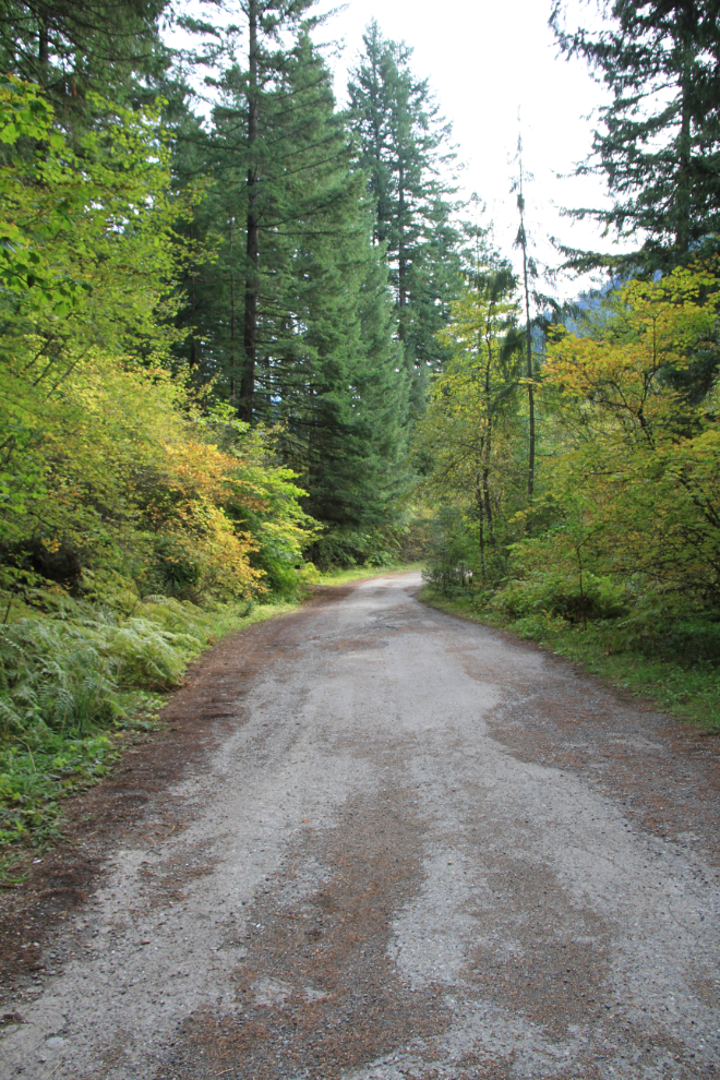
I had planned on hiking down to the old Alexandra Bridge, but the large rest area there has been closed and blocked off, so I kept going. Now that I was stopped and on the right side of the highway anyway, though, I went back to the former rest area, parked on the shoulder of the highway, and walked down to the bridge. The route starts with a trail through the forest, then on the old highway, seen here. I can still recall one trip on this road from about 57 years ago. The road hung from some of the cliffs on wooden bridges, and the section south of the bridge terrified me to that point that I was on the floor of the car – when we reached one of the bridges and the ride got very smooth, I thought that we’d gone over the edge. Funny now, but not so much when you’re 5 years old!
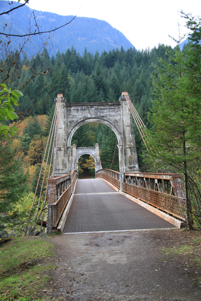
Seeing the Alexandra Bridge for the first time in about 35 years brought back a flood of good memories. I spent quite a while exploring the area, and walking along the very dangerous cliffs high over the river made me understand why the rest area was closed. Strangely, the BC Government Web site says that the rest area, in Alexandra Bridge Provincial Park, is still open – the barriers that I saw were not of the seasonal-closure sort, so I’ve sent them an email asking about it.
I reached Lytton, at the junction of the Fraser and Thompson Rivers, at 4:15 pm, and made a short photo stop – this is the view to the north, up the Fraser River. I chatted briefly at this spot with a local fellow who was trying unsuccessfully to hitch-hike to Vancouver to visit a sick sister. He didn’t understand why hitch-hiking is so tough these days. Although I didn’t try to answer his question, the simple reality (in my opinion) is that there are too many strange people around, and picking up one of them can be uncomfortable or even dangerous.
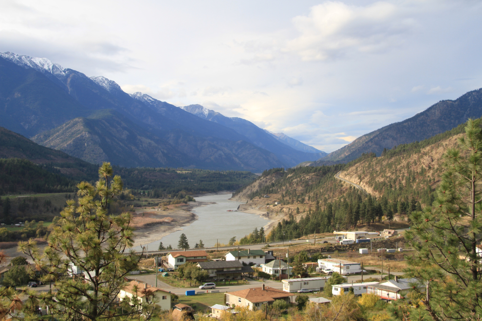
In the Lytton area, fairly consistently the hottest spot in British Columbia during the summer. On July 16 and 17, 1941, Lillooet and Lytton set the all-time Canadian high temperature record of 44.4°C (112° F)
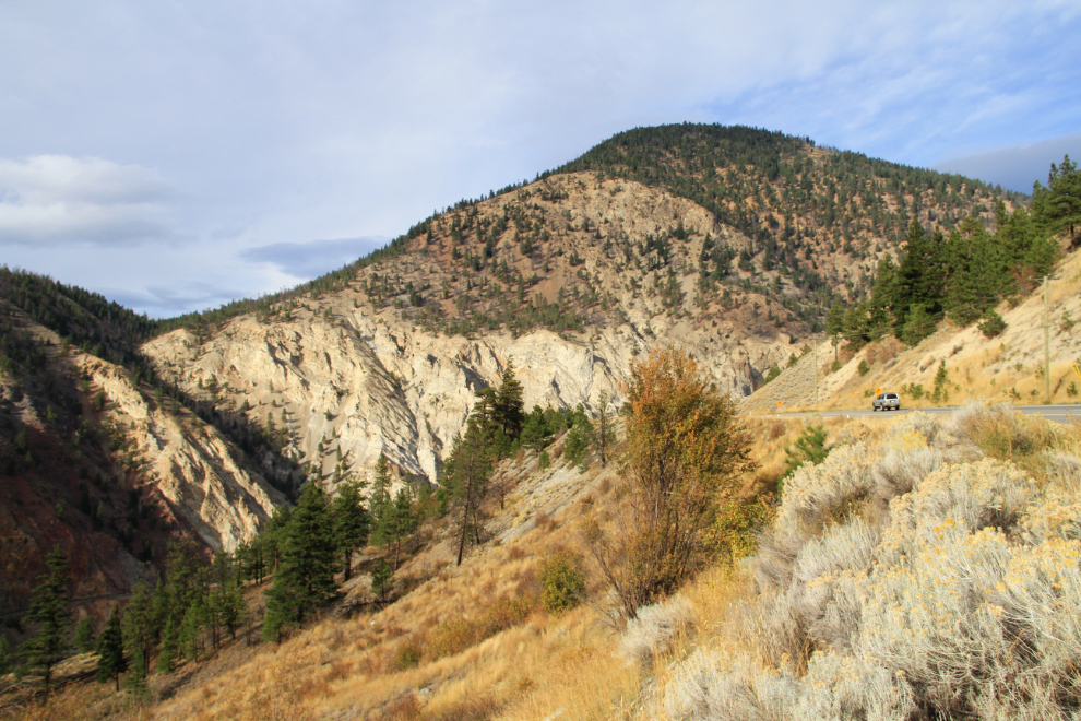
Along the Thompson River south of Spences Bridge at 4:30.
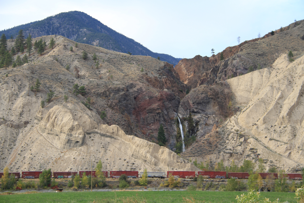
The 123-foot drop of Murray Creek Falls right at Spences Bridge is worthy of at least a photo stop, and offers a great hike for those with time. Above the main drop is a smaller drop, and the remains of a dam and water system, parts of which can be made out in this photo.
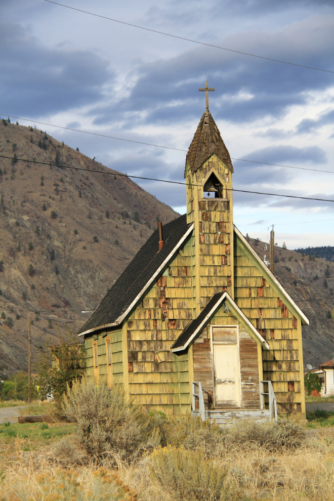
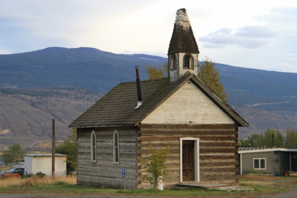
St. Michael and All Angels Anglican Church on the Indian Reserve (Cook’s Ferry First Nation) in Spences Bridge. Built about 1905, it appears to have been abandoned in the late 1960s.
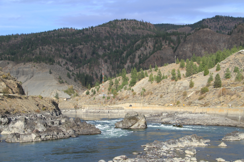
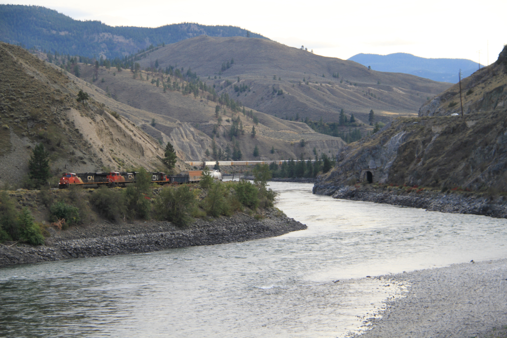
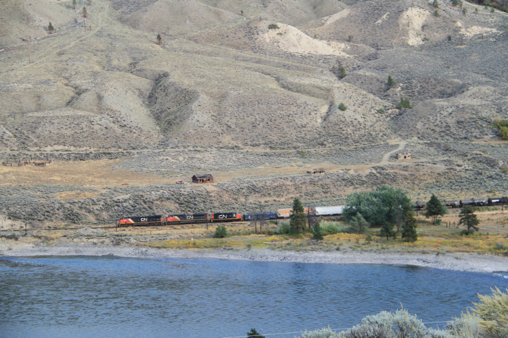
Along the Thompson River at 5:00 pm, with the Canadian National Railway on one side, the Canadian Pacific Railway and highway on the other.
“Canadian Northern Pacific’s Last Spike: Canada’s third trans-continental rail link was completed near Basque on January 23, 1915. In a simple ceremony the last spike was driven, witnessed by a small group of engineers and workmen. The line later became part of the Federal Government’s consolidated Canadian National Railways system.”
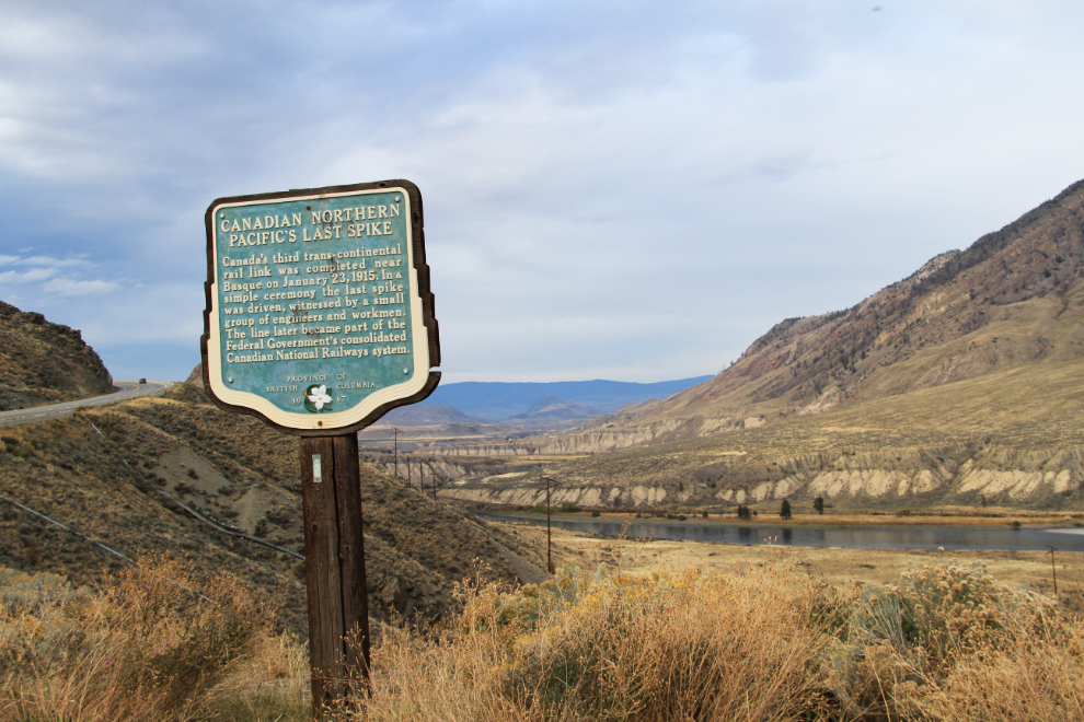
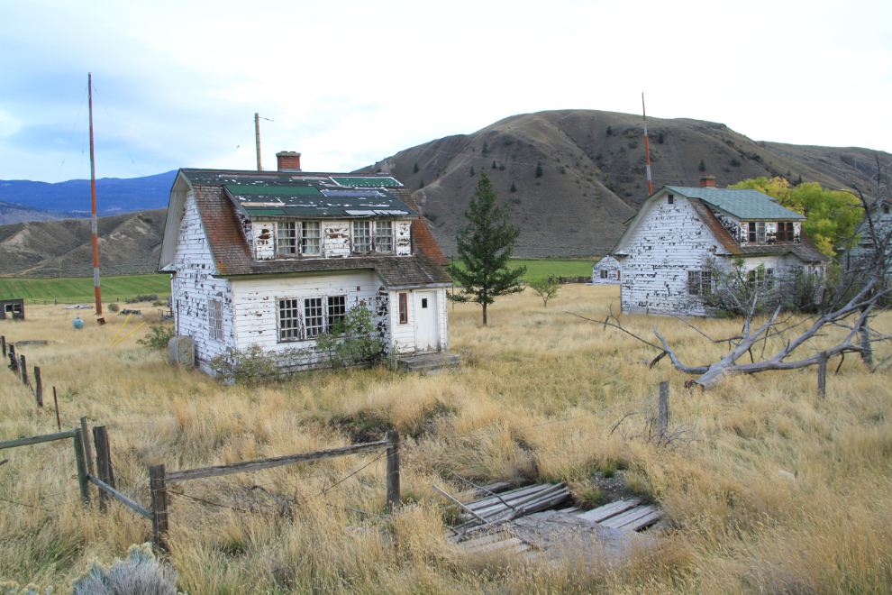
Looking down from the heritage sign seen above. I love abandoned buildings, whether they be churches, ranches or regular homes, and BC is full of them. There used to be an excellent page on Facebook but the owner got tired of her photos being stolen, even by big media, so she closed it
I took a short detour off the highway to see the Church of St. John at the Latin Gate. Built between 1880 and 1891 on the Cornwall Ranch, it was moved in the early 1900s to its current location on one of the Ashcroft Indian Reserves.
Since I was stopped anyway, I backtracked on the highway a few hundred yards to get some photos of an abandoned Radio Range Facility which was built during WWII. I remember it as a weather station in the 1960s, and for a short time after that, a forestry camp, but it’s been unused for many years now.
By the time I reached Cache Creek it was too dark for photography (sunset was at 6:31 pm), and it began raining not long after that. I kept driving to Quesnel, though, and got an old but clean room at the Gold Pan Motel for $52 plus $6.76 taxes. I spent a while sorting photos and checking emails, but was in bed early for a long-before-sunrise start on Saturday morning.