The road to Bella Coola: BC Highway 20
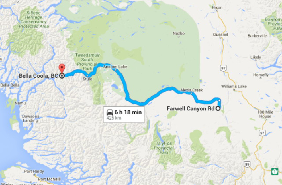
The itinerary for Monday, May 3rd, Day 10 of the trip, was to drive from Farwell Canyon to Bella Coola. It would include one of the big Adventures of the journey – driving “The Hill” into Bella Coola. It’s been infamous due to its very steep drop, and winding, gravel sometimes-one-lane surface.
Now that I have good Internet, I can include some extra features, like this interactive map of the day – just click here to open a large one in a new window.
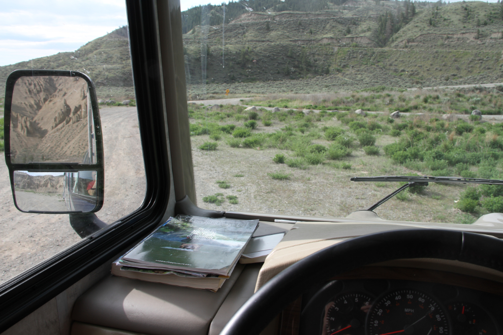
I was in no hurry to leave Farwell Canyon – I’d love to spend a few days there. But, just before 09:30, we were ready to hit the road.
The Farwell Canyon Forest Service Road’s one-lane bridge across the Chilcotin River.
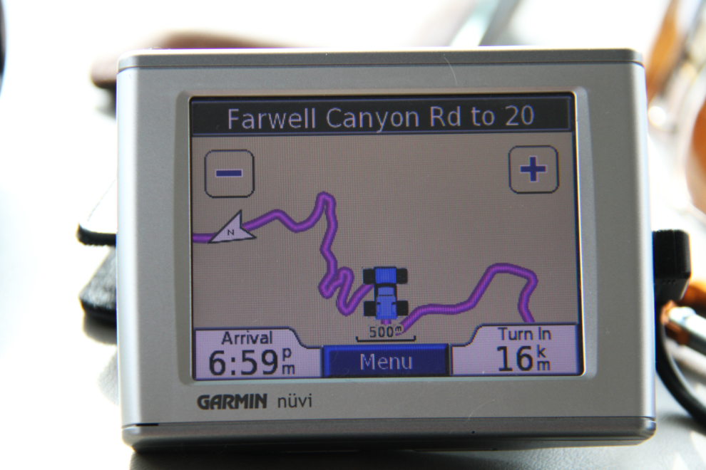
The climb up from the canyon looks good on the GPS 🙂
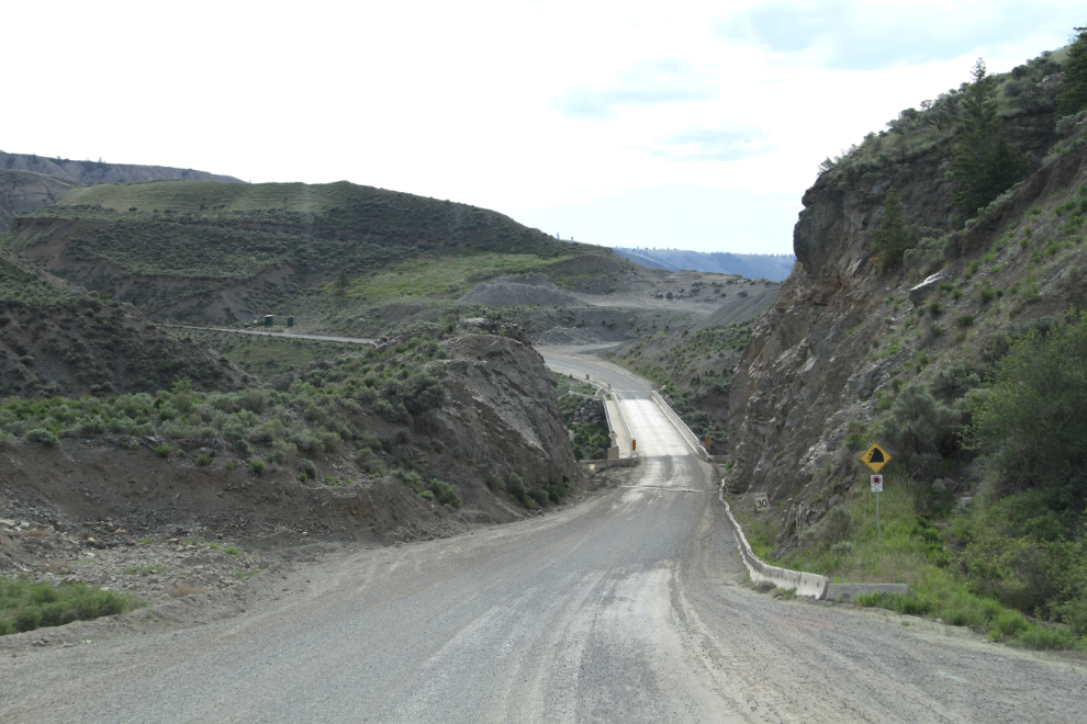
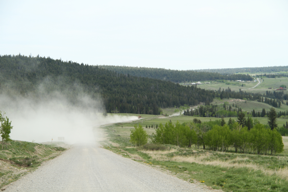
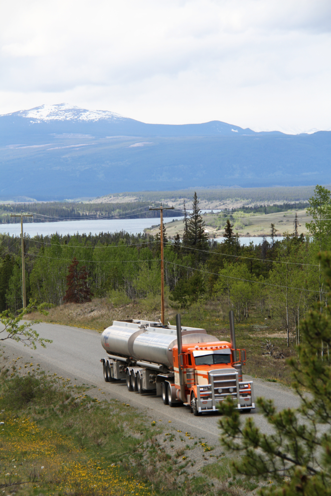
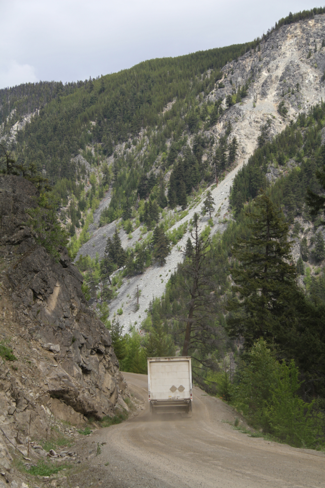
As I had the previous day, I spaced myself between 2 logging trucks to both stay out of their way, and stay out of their dust as much as possible. This was shot about 2 km from the junction with Highway 20 at Riske Creek.
I’d be going through 2 of the 3 regions covered by the Cariboo Chilcotin Coast Tourism Association, and had been in the third region for part of the previous few days, from high-elevation, dry cattle country, though the Coast Mountain Range and down to sea level. The region sees relatively few visitors, and visitor services are few and far between.
This was shot just west of Riske Creek at 10:00.
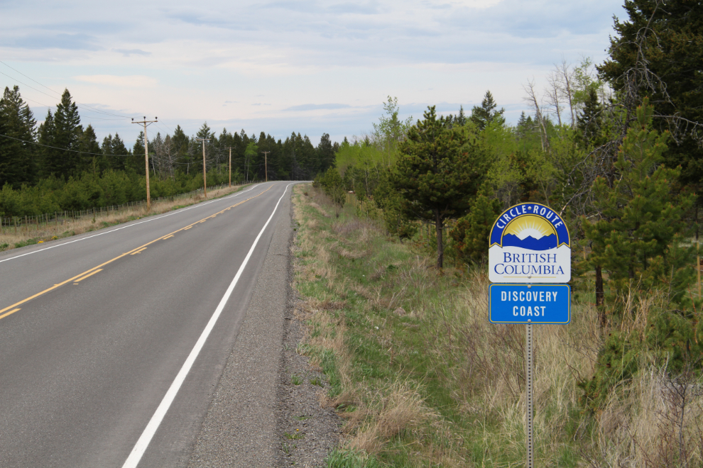
The Discovery Coast Circle Route is a 7-10 day, 2,116 km (1,315 mi) loop from Vancouver to Bella Coola by ferry and road.
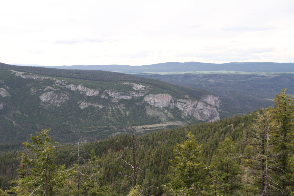
The view from the Hanceville Lookout Rest Area at 10:25.
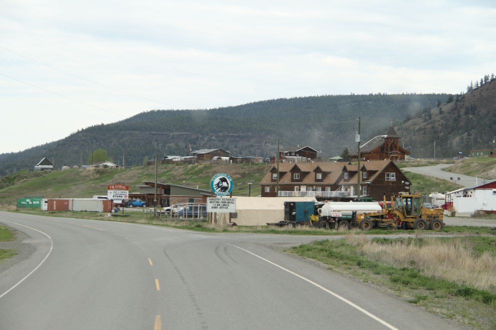
Alexis Creek, population about 140.
Bull Canyon Provincial Recreation Area, with a lovely little campground on the Chilcotin River.
At the village of Redstone, a few miles past Bull Canyon, a large and heavily-harnessed dog was laying on the narrow (less than 2 feet wide) gravel shoulder of the highway, apparently guarding a cooler whose contents were spilled around it. While I was trying to figure that out, I came to a man peacefully sleeping on the shoulder, perhaps a foot from the pavement. It was nearing noon.
Turning into a viewpoint is always a big of a risk, as you can’t be sure that there will be room to turn around. This one was just barely big enough. I mentioned to a flagperson that you can’t back up when you’re towing a car, and he assumed, as I used to, that it was because the driver didn’t have the skill. But Cathy and I discovered that it’s because the front wheels of the towed vehicle don’t track, they just go sideways.
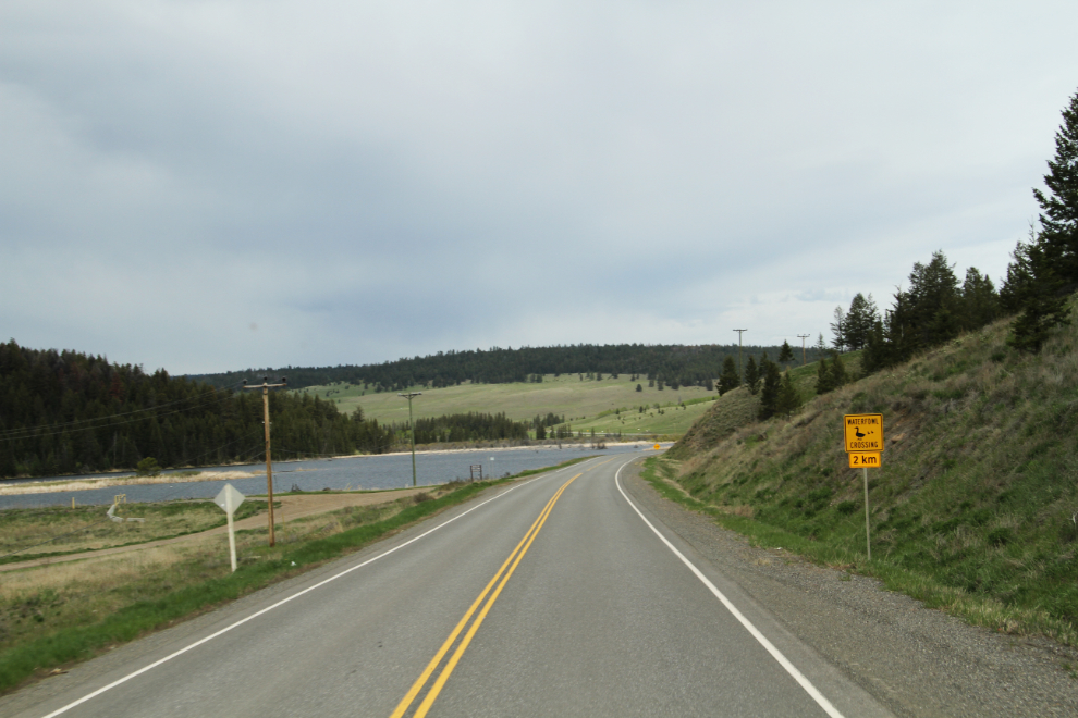
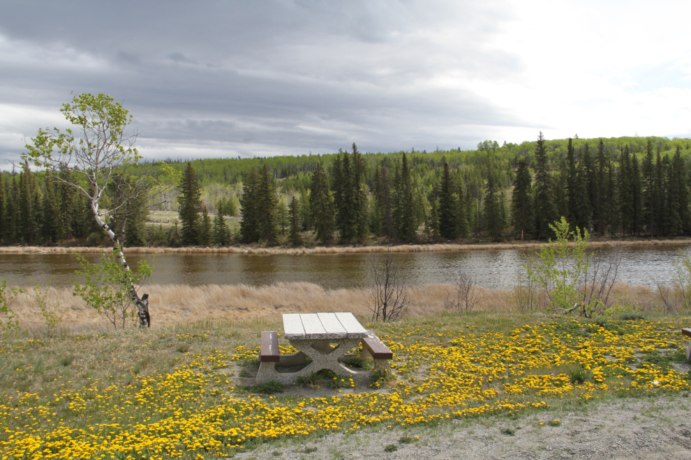
The Rest Area at Pollywog Marsh, a Ducks Unlimited conservation area, is very nice, the nicest I saw along Highway 20. Bella and Tucker and I got a long walk here.
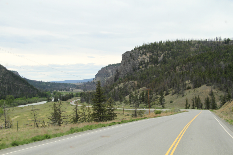
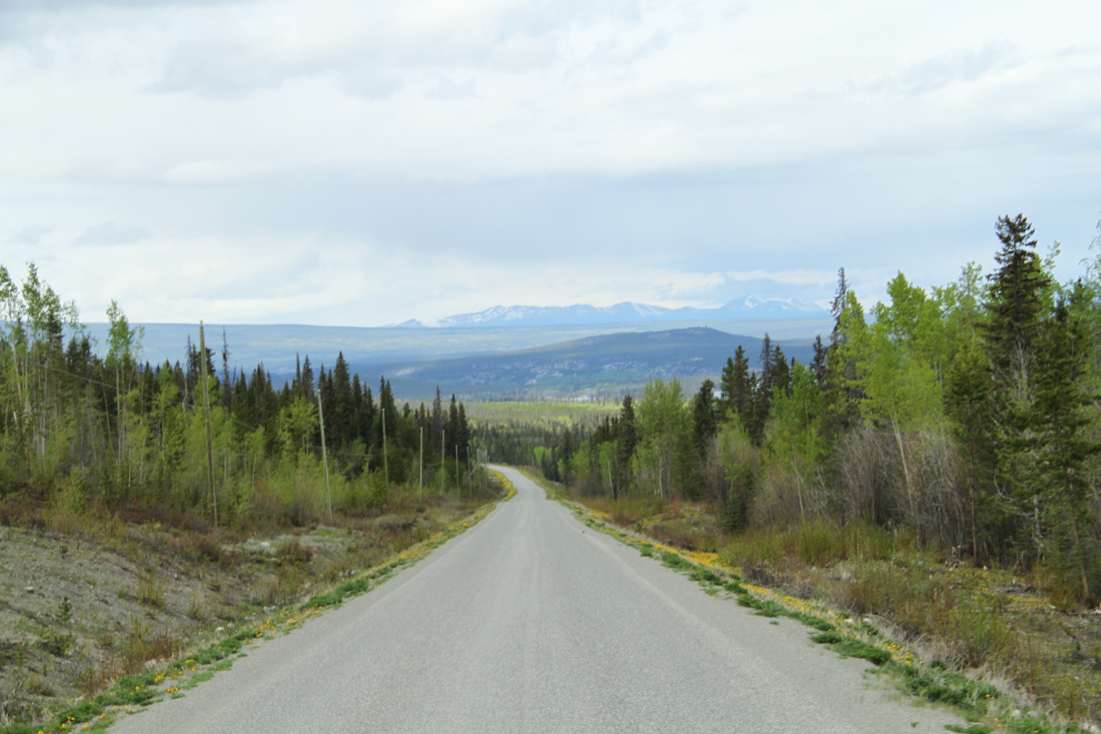
The view to the west at 12:45 with the Coast Mountains getting closer.
I was going to fuel up at Nimpo Lake, and should have – the price, $1.239, wasn’t high for this region.
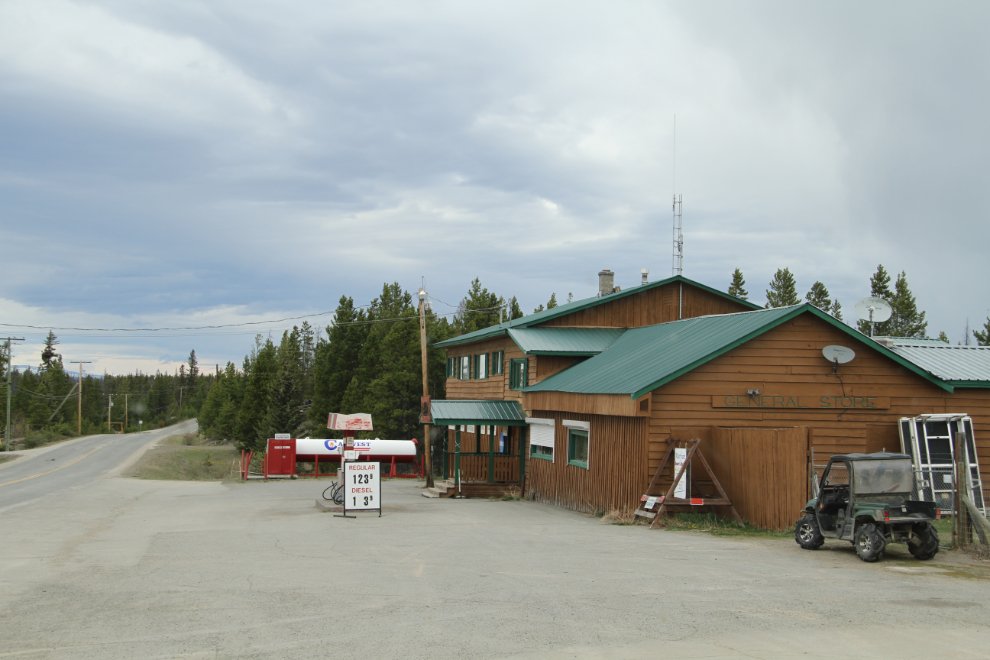
Anahim Lake, where I planned to fuel up, is the largest community in the Chilcotin (population about 1,500) but whatever services there are, are off the highway somewhere. At Anahim, the road turns to gravel for some 60 km (37 mi). This is as close as I’d driven to Bella Coola before. In 1970 I got this far before a landslide on The Hill closed the road for several days. My goal on that trip was to drive from the Fraser Valley (Vancouver) to Bella Coola without ever touching pavement, and I almost made it (did that get me into some odd places!).
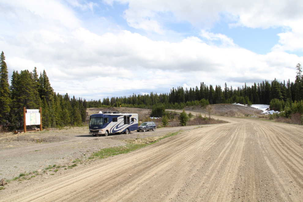
The gravel was in a great shape, and speeds of 80-90 kmh were easy. This pullout had a large sign with tourist information, primarily aimed at fisherpeople
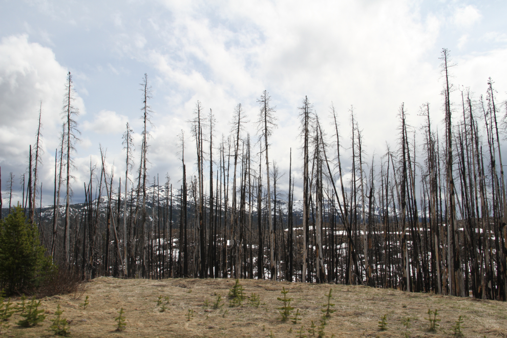
A forest fire burned a large area at the eastern boundary of Tweedsmuir Provincial Park. Now I was heading into an area that I have a lot of photos of, but shot from 35,000 feet.
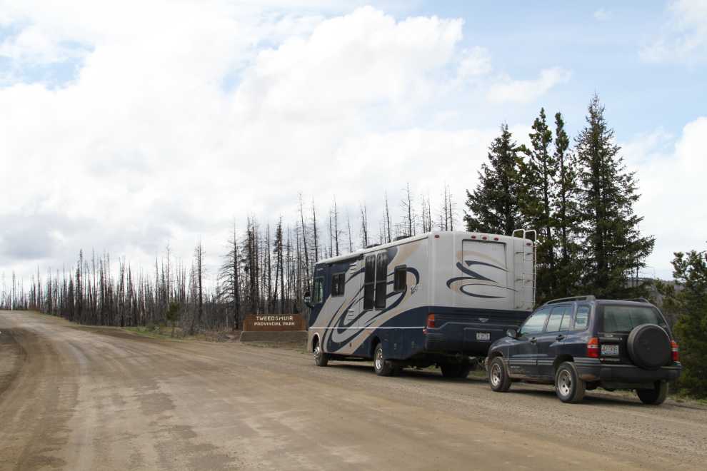
Entering Tweedsmuir Provincial Park, at 2:50 pm. The light really sucked for photos for most of the day.
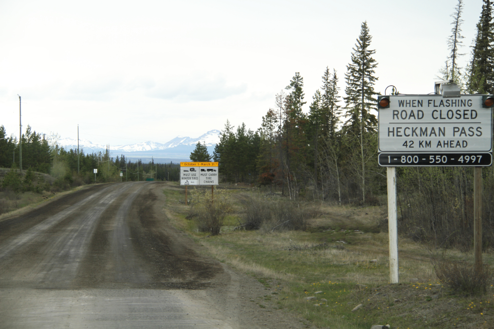
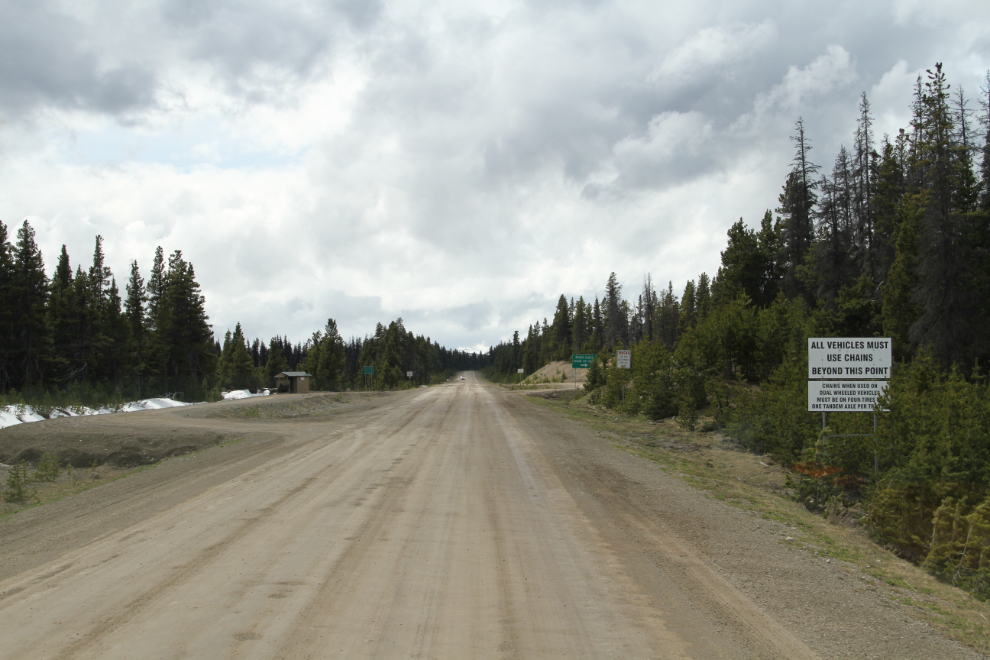
Approaching The Hill. The sign on the right says “All vehicles must use chains beyond this point”, and several more warning signs follow.
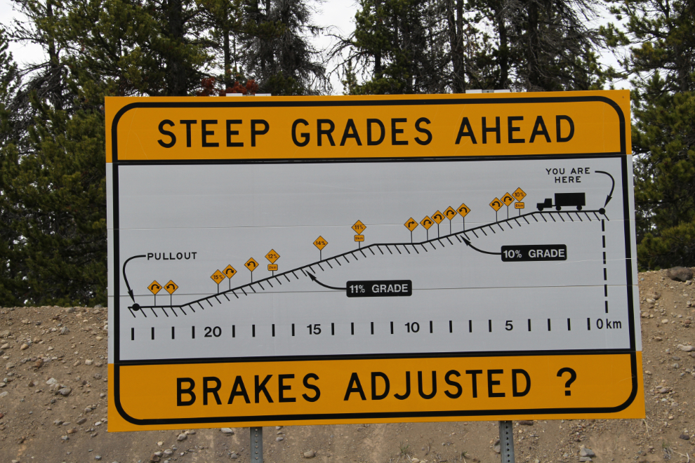
The amount of misinformation about this hill is amazing – even this sign, which should be definitive, has the length of it wrong (I discovered the following day). But its main purpose is to warn about the grades ahead – 10%, 11%, 14%, 12%, and finally 15%. A common figure seen online and even in The Milepost, is 18%, and there is no 18% grade.
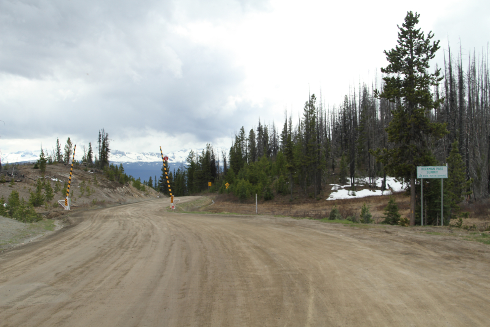
Heckman Pass Summit, elevation 1,524 meters (5,000 feet), the start of The Hill.
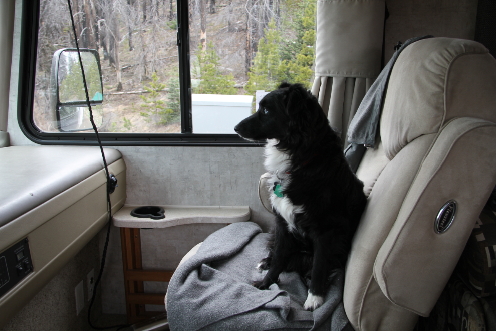
My little adventurer wanted a window seat! 🙂
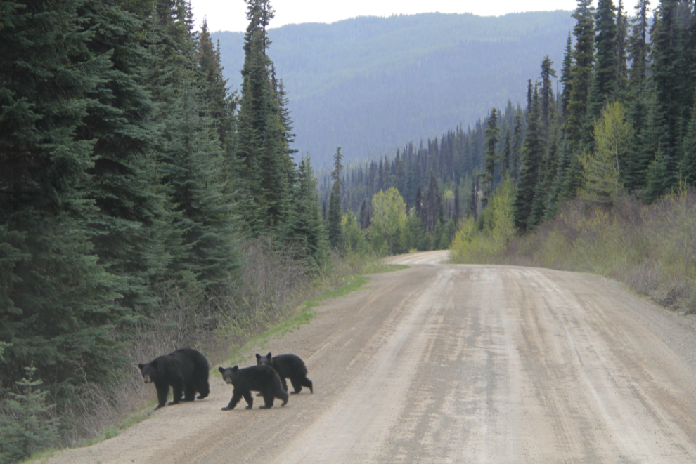
A black bear with twins slowly crossed the road on a fairly level stretch of the hill.
One of the narrow sections, with the Atnarko River far below.
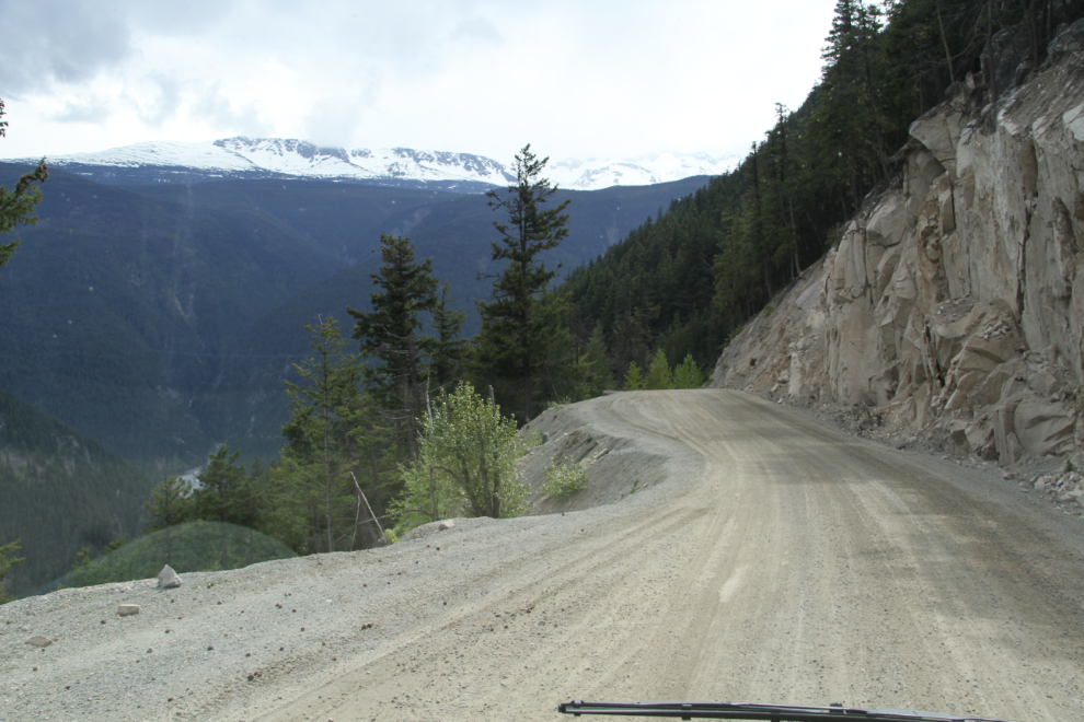
Another narrow section. I wasn’t worried about the grades, but on a steep hill these could be a challenge.
It started raining as I reached the valley bottom, and got heavier and heavier. I was going to stay at the Gnomes Home RV Park, but both of the guys at at gas station in town said that the Rip Rap across the road from the Gnomes Home was better. It was mostly very good – more about that in the next post 🙂