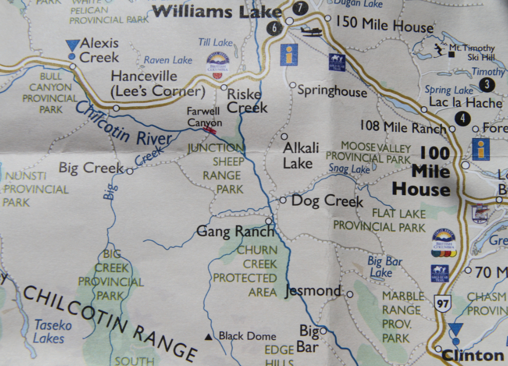
Driving the Farwell Canyon / Gang Ranch circle tour
Monday (May 2nd) had already been a fabulous day by noon, but there was a circle tour recommended by Destination BC that I wanted to see. It was supposed to take 6 hours, but having the Gang Ranch in the description was enough to get me going.
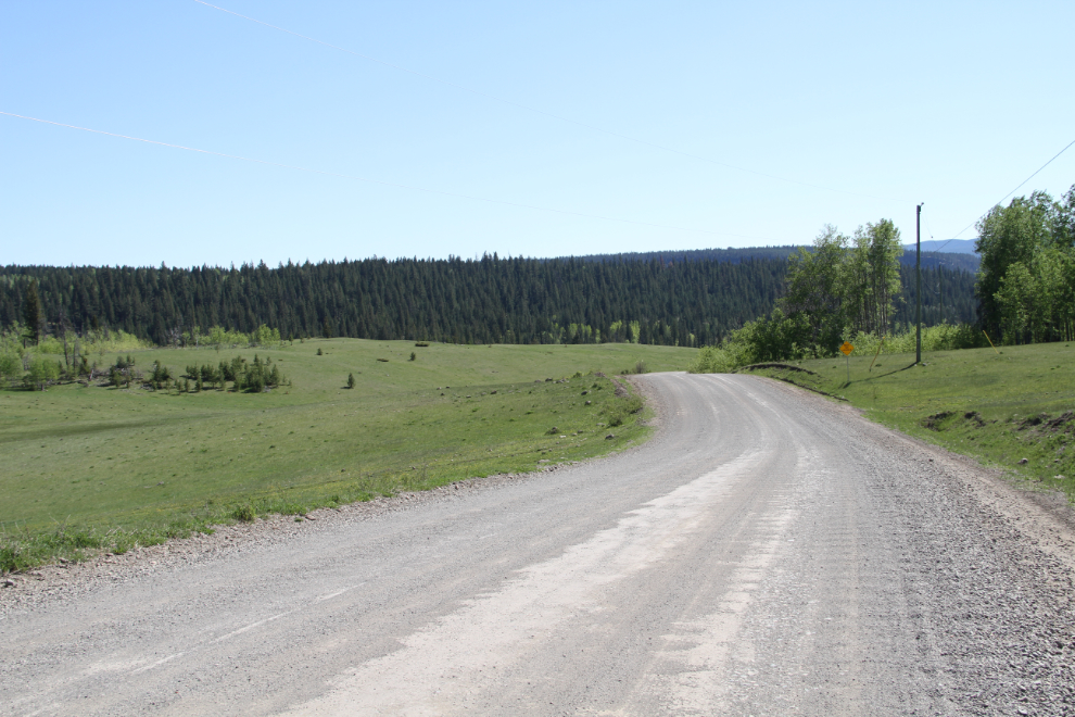
The route turned out to be 247 km long (about 170 km of that is gravel), and I’d say that 6 hours is about right, but add some time to that to get out and walk a bit and enjoy the country.
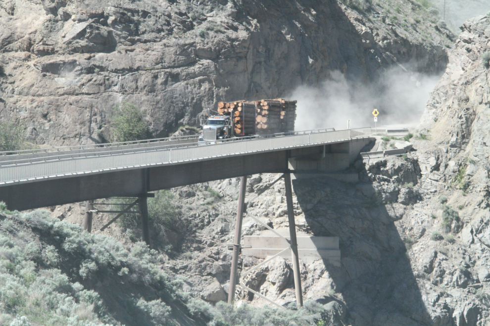
I left “home” just after 12:30. I wanted a photo or two of a logging truck on the Farwell Canyon Bridge, then I spaced myself between a couple of them to stay out of their way and avoid as much dust as possible.
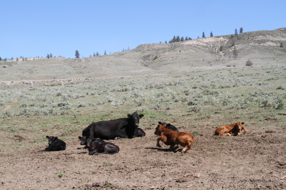
Climbing the hill, I had lots of time as the logging truck crawled its way slowly up. Another cow babysitter was at work – this morning it had been a brown one 🙂
I made a couple of quick stops in Williams Lake for some fuel for both me (an A&W burger from the drive-thru) and the Tracker (there are no services along most of the route). The first hour out of Williams Lake isn’t particularly interesting as the road climbs and climbs and climbs, but once you reach the high country at Springhouse it gets better in a hurry. This was shot at 2:40.
The home of the Esketemc First Nation.
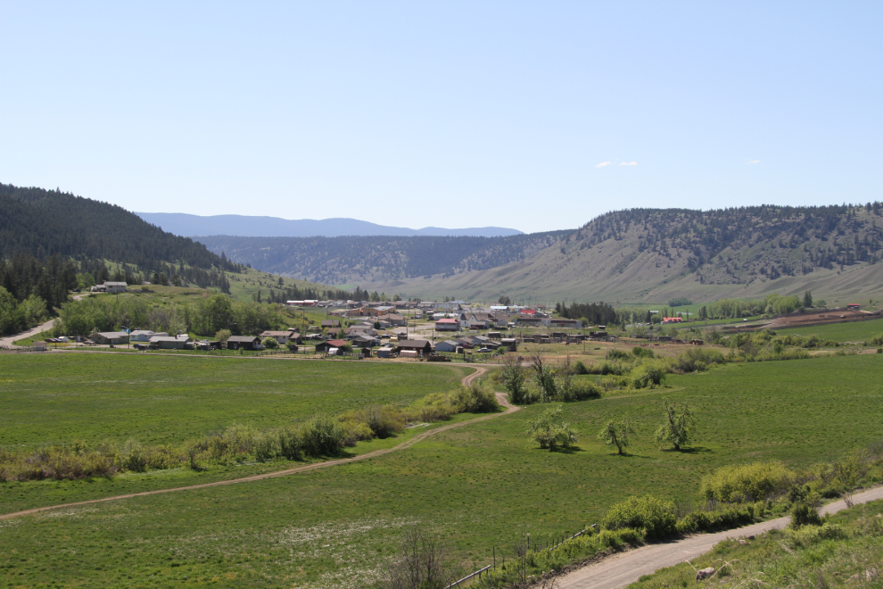
The Alkali Lake Ranch is among the legendary ones for people interested in BC’s cowboy culture/literature, which I very much was 30-40 years ago. The huge home (just left of centre in the photo) looks very grand.
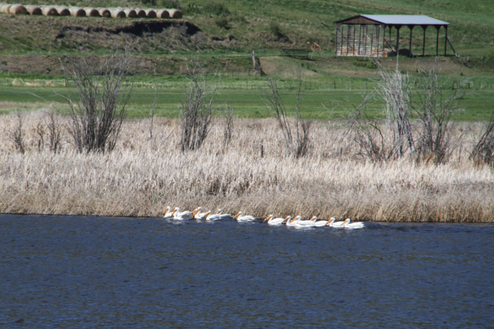
I didn’t know that BC had pelicans, but on a lake at Alkali Lake Ranch, there they were. These are American White Pelicans according to the lengthy species list on a sign at a pulloff at the lake.
Tucker has suddenly turned into a real Adventure Dude the last few days. It’s like a switch got turned on, or he’s now mature enough to realize what a life he’s going to have. As I’m writing this at 06:00 Saturday, he’s been curled up on the chair beside me, sleeping, for the past hour or so. He’s turned into the most wonderful little dog I could have hoped for.
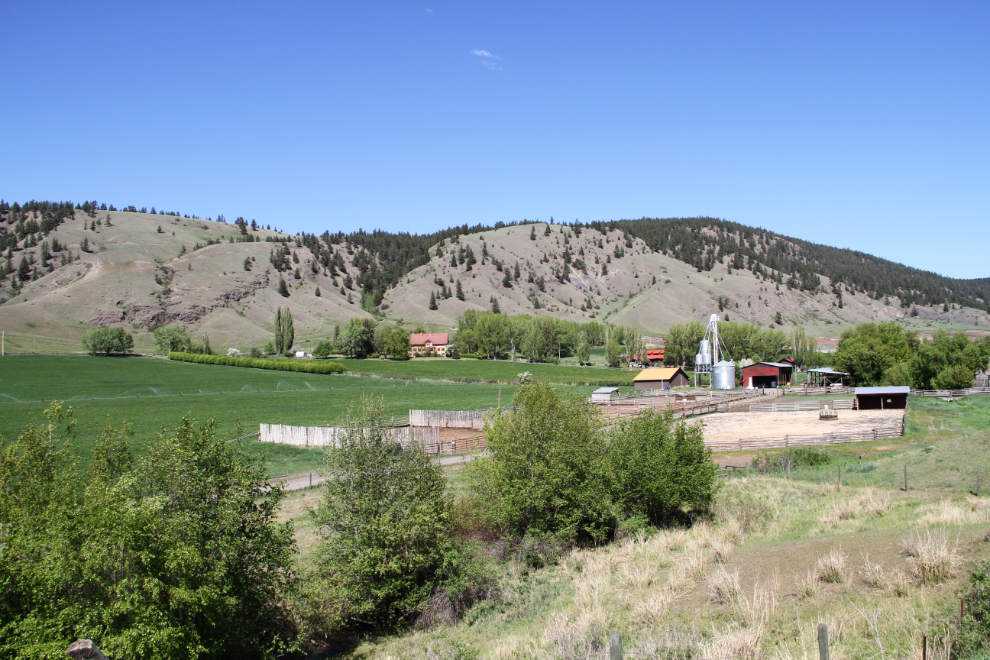
Looking back at the bird-watching lake and Alkali Lake Ranch
This is magnificent country. Not spectacular generally, but powerful, and it amazes me what has been accomplished here by ranchers large and small.
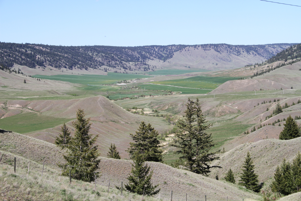
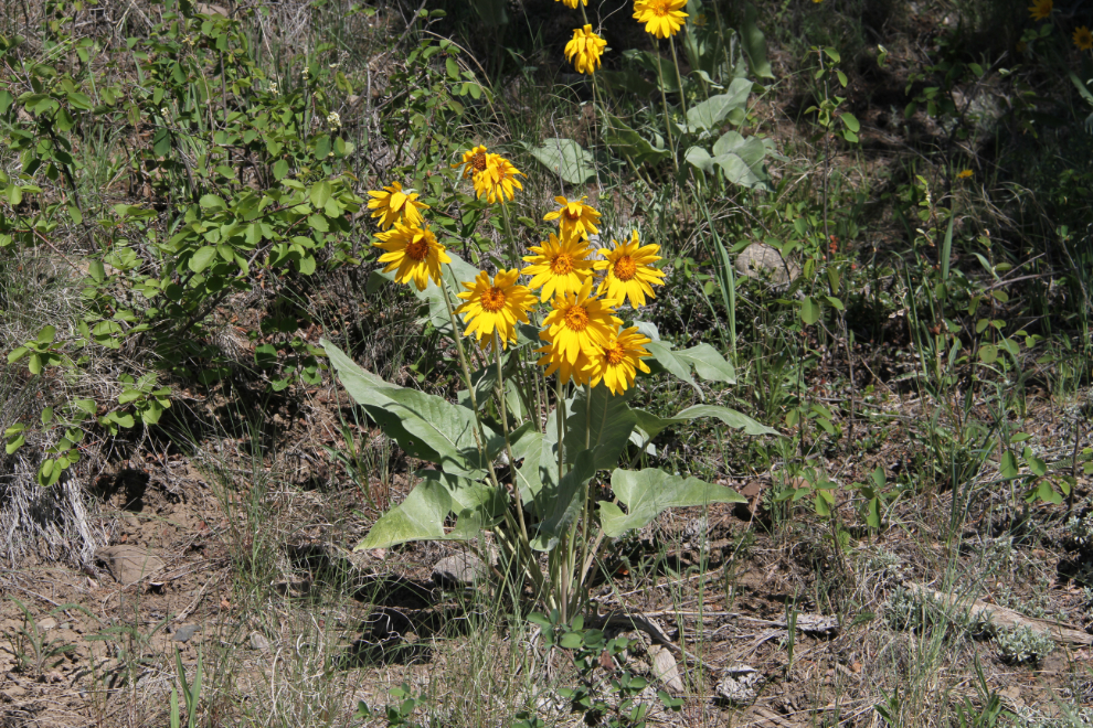
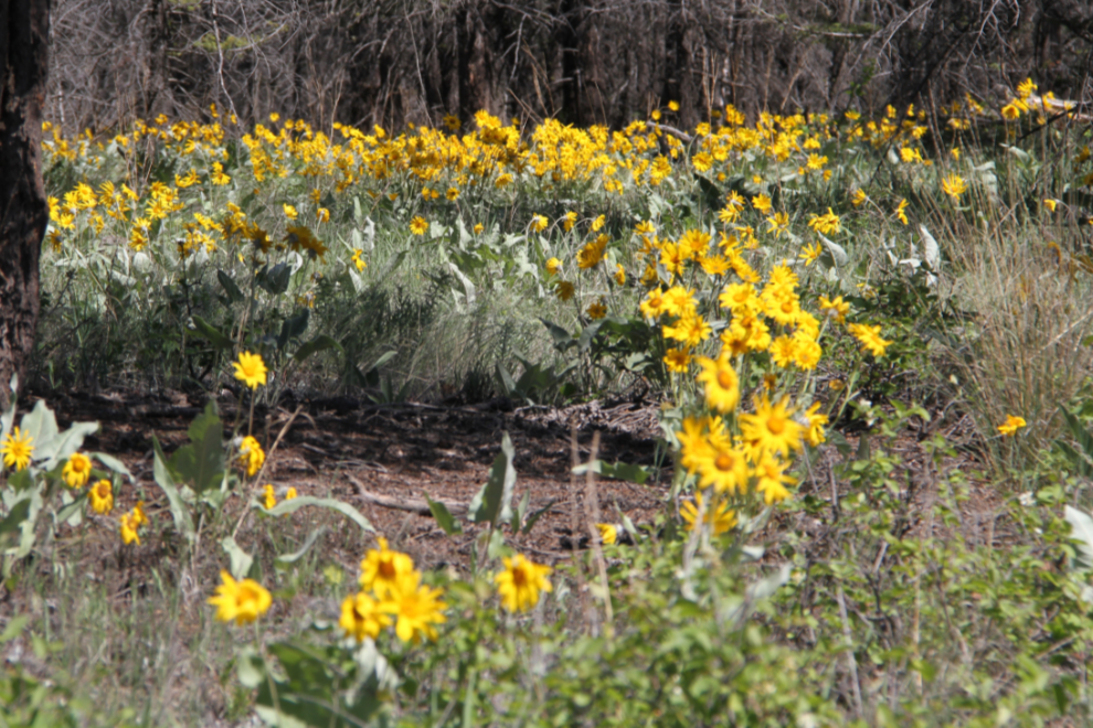
Treeline works backwards to what most of us are used to. In most places, the trees quit growing when you climb to a certain elevation. Here, the trees start growing once you climb out of the dry valleys – my guess is at about 4,500 feet or so. At the edge of the forest zone, these flowers grow, carpeting some slopes.
Looking back down the road.
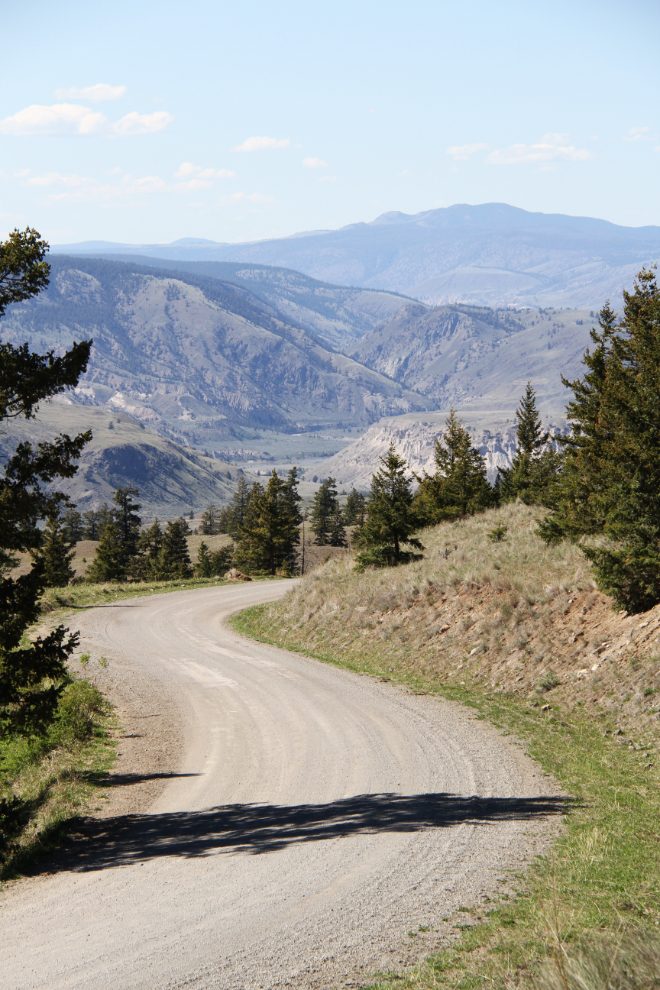
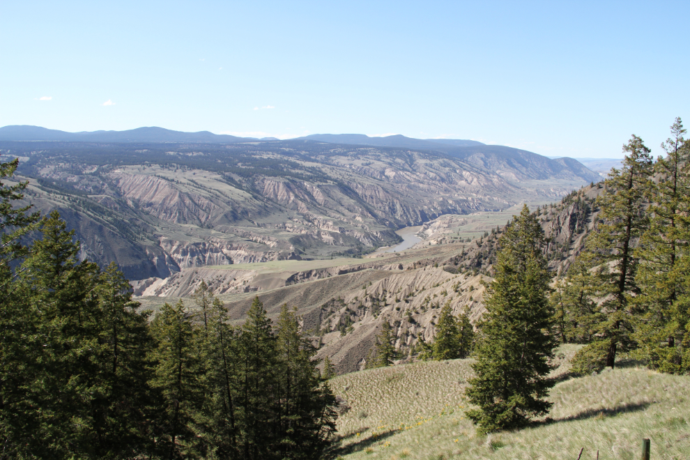
And now the mighty Faser River can be seen far below, with the water flowing south, the same direction we were travelling.
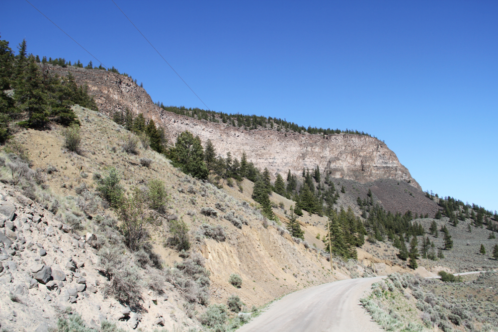
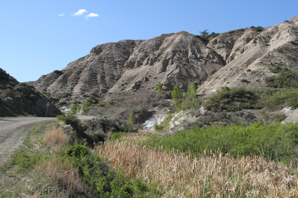
Nearing Dog Creek, this massive basalt towers over the road for half a mile.
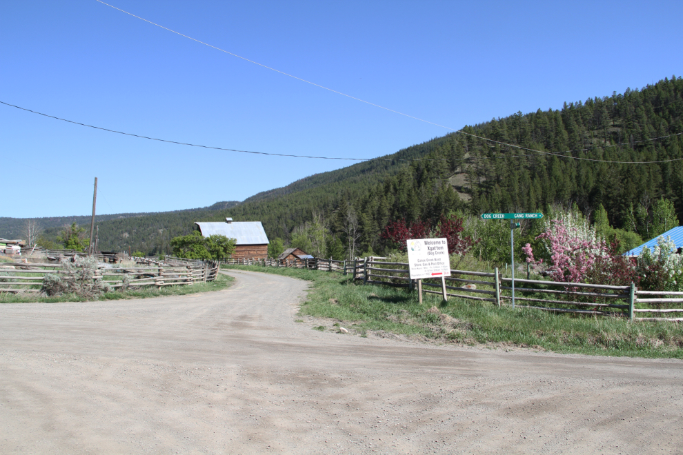
At Dog Creek, you make a right turn onto the smallest road yet on the journey. It was now 3:40 pm.
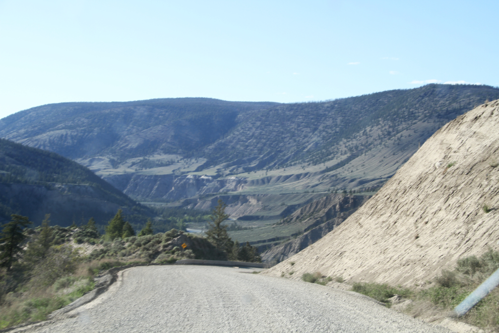
The very impressive descent to the Fraser River. The road on the other side of the river can be seen at the right of the photo. I need to keep my altimeter/GPS in the motorhome – I really would have liked that information on a couple of roads already on this trip.
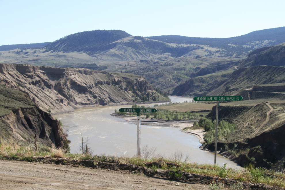
Turn left to get to Highway 97 on the Meadow Lake Road, or right to go 8 km to the Gang Ranch on the Gang Ranch Road.
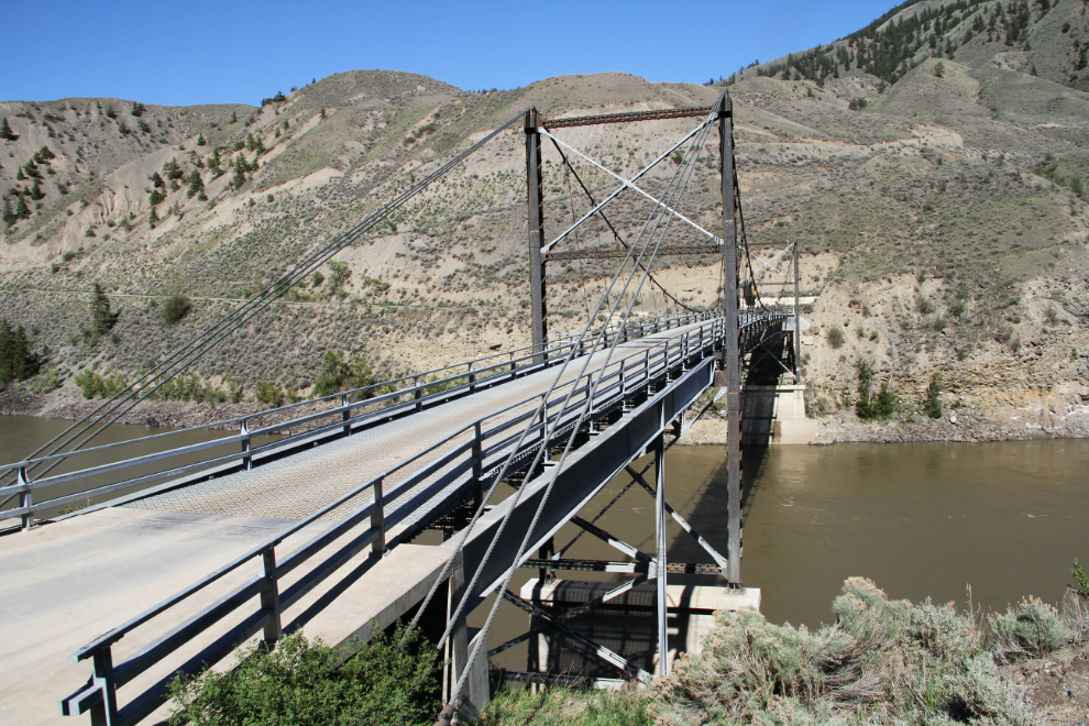
The Churn Creek Bridge over the Fraser River is below, and the road does a hairpin turn just ahead to get to it.
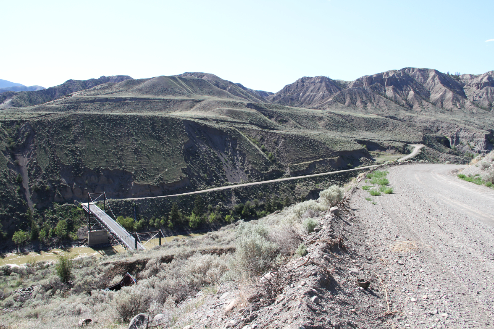
The Churn Creek Bridge has a metal-grate road surface.
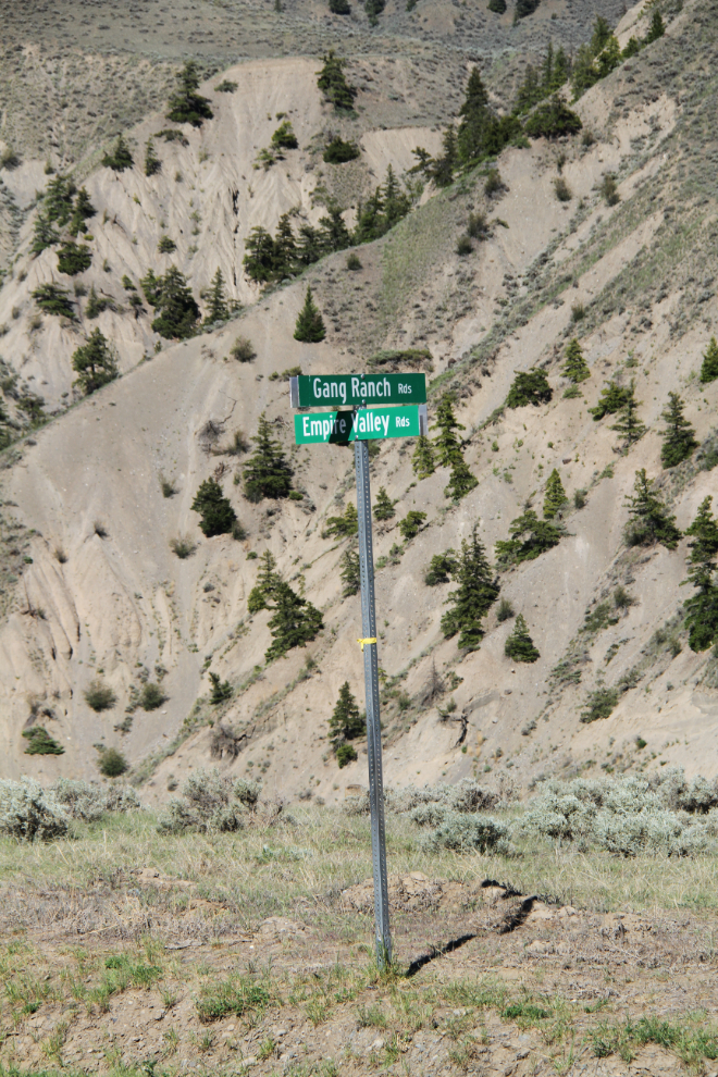
The junction of Gang Ranch Road and Empire Valley Road – surely two of the most iconic names in BC cattle-country history.
A mineral spring along the road climbing up from the river was quite an oasis for plants, animals, and birds.
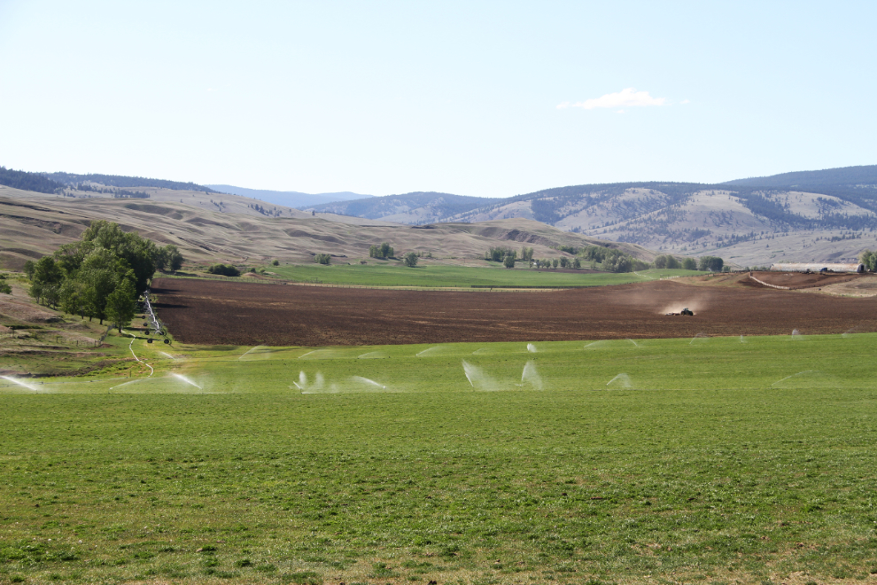
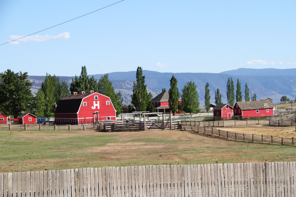
Made it! The Gang Ranch, at 4:15.
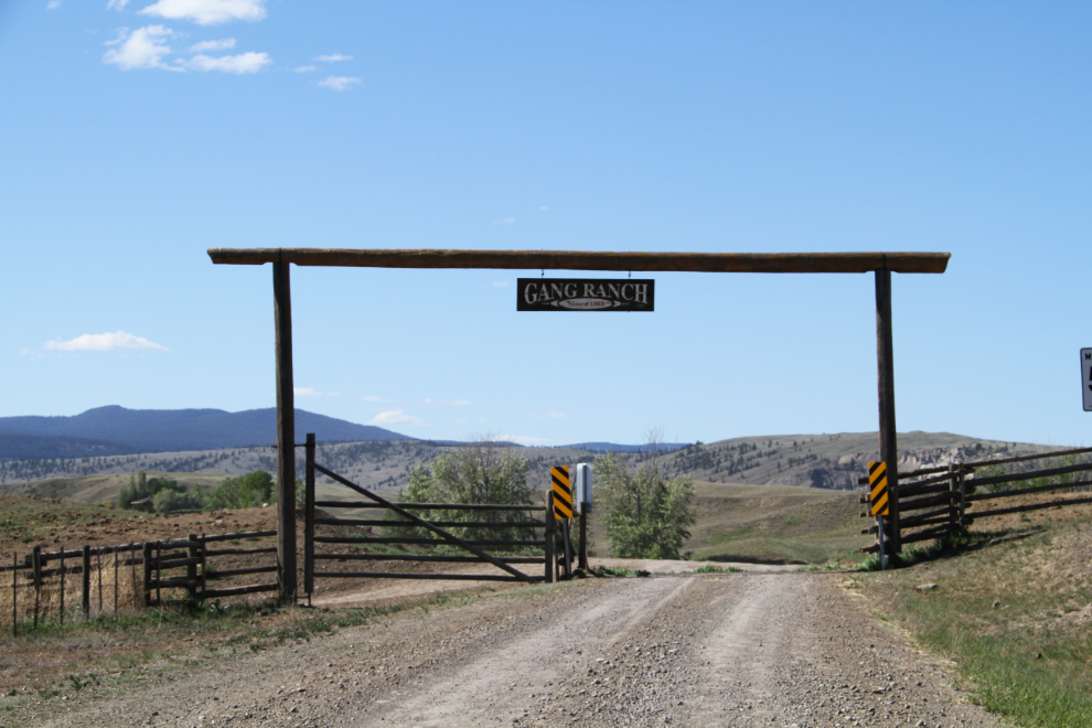
Now that looks like a successful ranch. It’s amazing what a little water can do. Okay, a lot of water.
The Gang Ranch. The tour description says that there’s “an old cook house and store with a post office”, but I saw no store, and no indication that there was anything that visitors were welcome at.
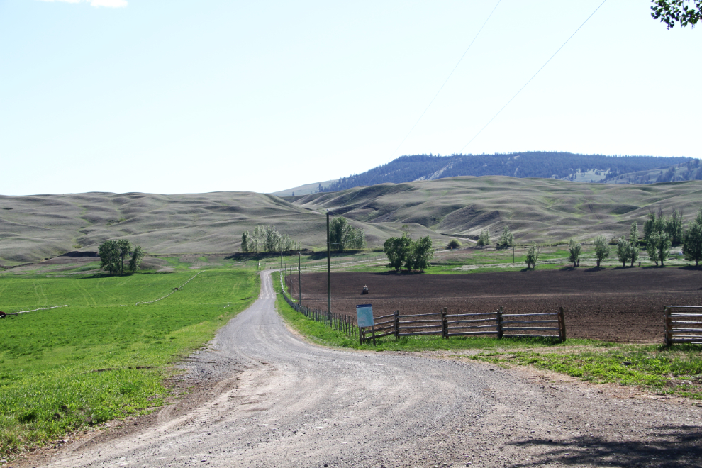
This spot just north of the ranch headquarters caused me a lot of frustration. The tour description says: “Keep driving and you soon come to a fork in the road. Stay on the 2700 Road heading north. Be prepared, this is a very rough gravel road and you may come across some logging trucks. Stay on the 2700 Road until you arrive at Farwell Canyon.” Whoever wrote that has never been here. No road is marked as the 2700, and going straight ahead on a very rough dirt road (not gravel) for a few minutes got me to a sign stating that the publicly maintained roads ends at that point. Backtracking to the junction and flagging down a local woman got me the information that the left turn is the one I wanted – the one straight ahead would get me to Farwell Canyon but is very rough. The photo shows the correct road, which a tiny, faded sign identifies as the Gang Ranch Reservoir Road, but a map just a head calls the 3100 Road. Anyway, back on the road – and the dogs got another long walk while I tried to figure it out.
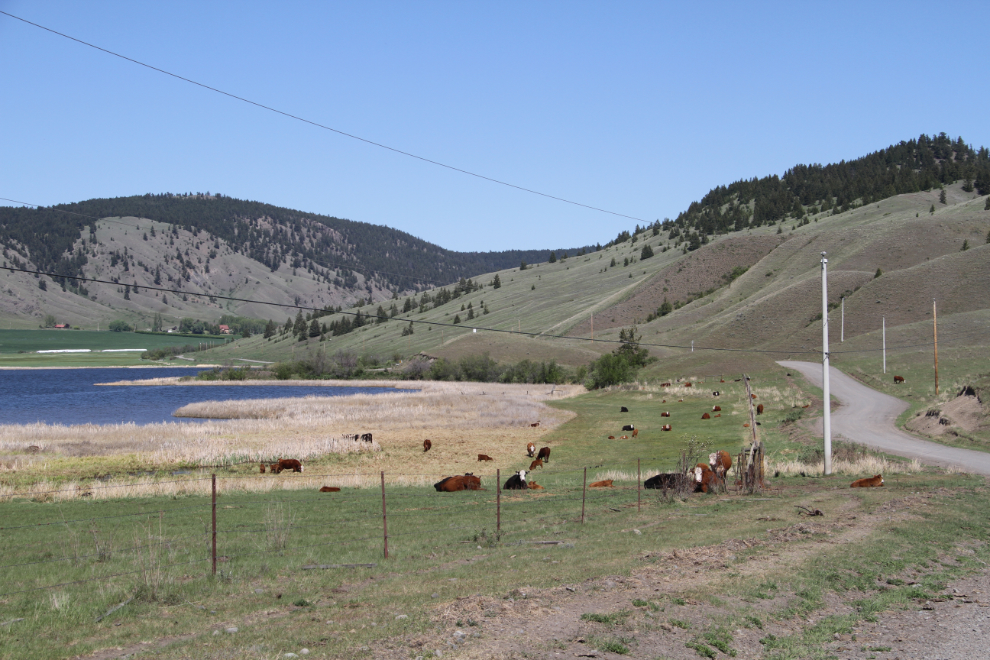
The Gang Ranch Reservoir.
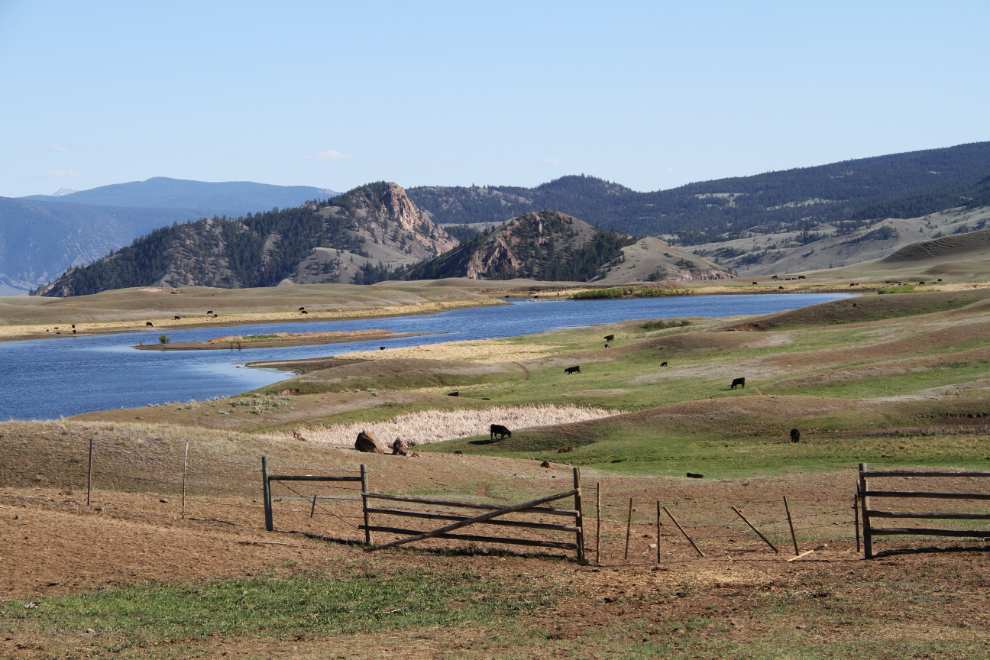
Looking back to the reservoir.
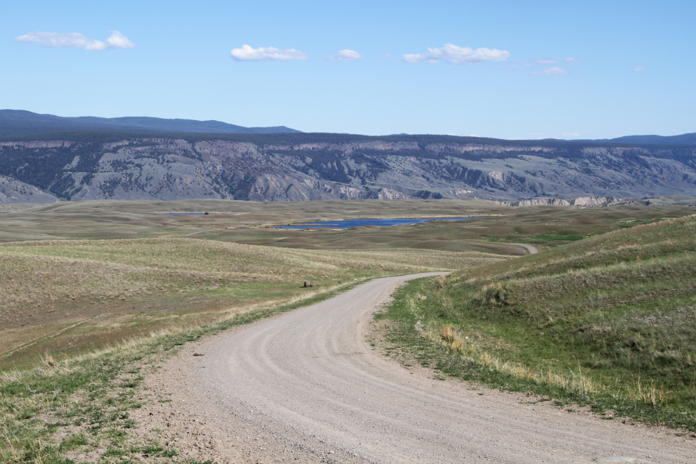
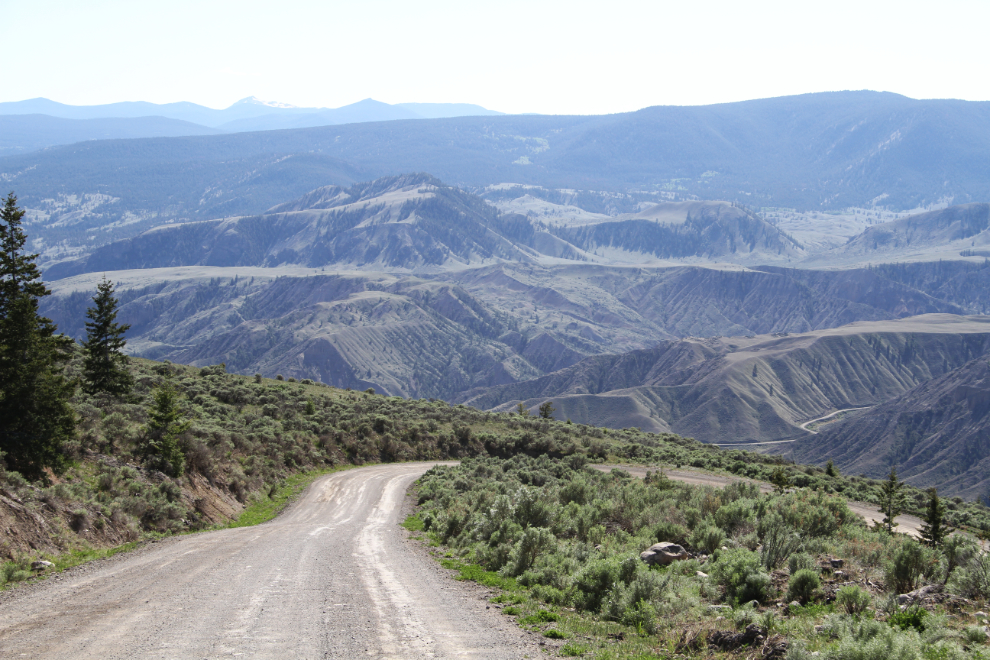
Just after 5:00 pm, I reached the end of what was basically a really good ranch road, where it met the 2800 Road, the Gaspard – Churn Creek Forest Service Road (FSR), which is a major logging route that leads north, the direction I wanted to go. This photo was shot 20 minutes later.
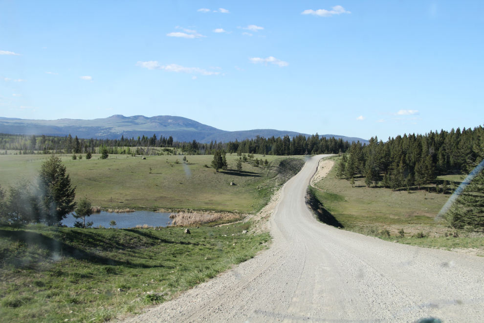
A couple more obvious turns onto other FSRs got me to this grouping of signs which could only mean that Farwell Canyon was ahead 🙂
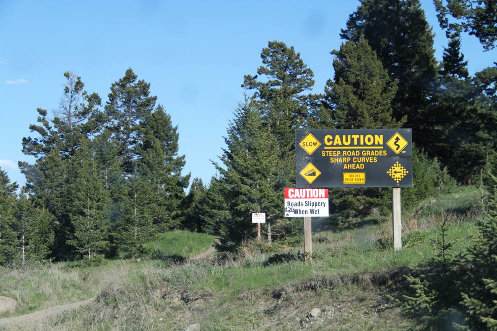
Yes, those warning signs are accurate – that is quite a drop! Especially in a loaded logging truck. The grades, though, aren’t actually as steep as the visuals make it seems – I doubt that any exceed 12%.
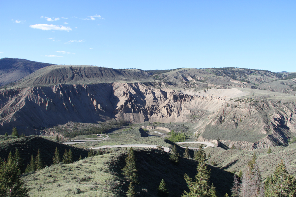
And there’s Farwell Canyon, with our home just to the left of centre.
We spent 5½ hours on the circle tour, but rushed a bit because of the late start. I’m definitely glad that I made the trip – as you can see, it got us into some incredible country that very few people ever see, and brought back some good memories.
The next morning, we’d be off to Bella Coola for a couple of nights – another place I’d been wanting to get back to for decades.