Riding the White Pass & Yukon Route railway
On Sunday, May 19th, Cathy and I took advantage of the Yukoner’s Special that the White Pass & Yukon Route railway offers every Victoria Day long weekend, and rode the train from Fraser to Skagway and back. We chose that rounder because it makes Customs clearance very simple – lineups on the highway are common on this weekend in particular.
The last time a ride on the WP&YR showed up in the blog was 2014, but Cathy was certain we had ridden it since then. Going through my photos I see that we did indeed do it in May 2019, but strangely it didn’t make it onto the blog. In the early days I rode it up to 3 times a year, so I’m probably up around 30 times now. We bought the motorhome in the Fall of 2014 and I was gone for the next several Victoria Days, then covid hit and the railway closed for a while. It was great to be back on it – there have been a lot of changes to the rail line and equipment, and even though the weather wasn’t great there are 67 photos in this post.
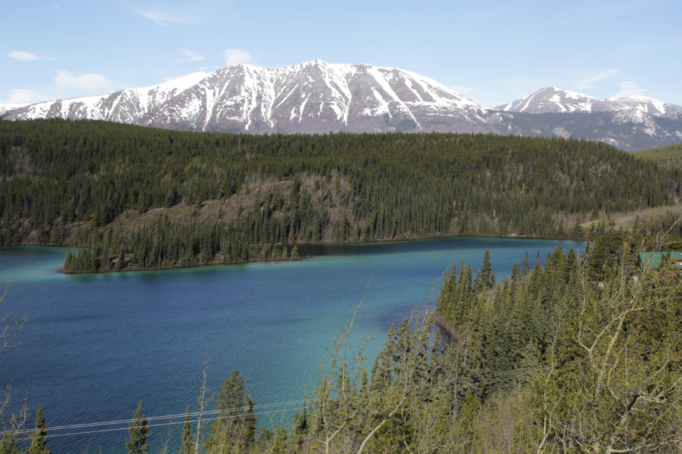
A quick stop was made at Emerald Lake, just to update my page about when the ice leaves the lake.
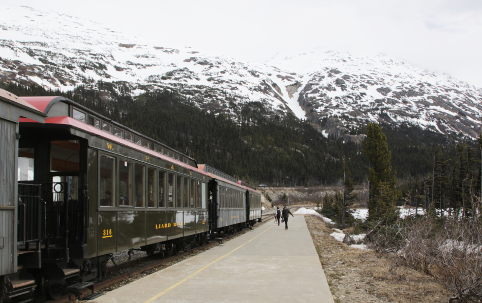
We reached Fraser at 10:30, but I went to the wrong parking lot and had to clear Customs to get back to the correct one. I wanted to get the last car on the train because it allows for clear shots down the tracks. We walked around the train then up the line of cars to give our tickets to the ramp agent.
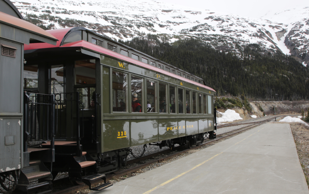
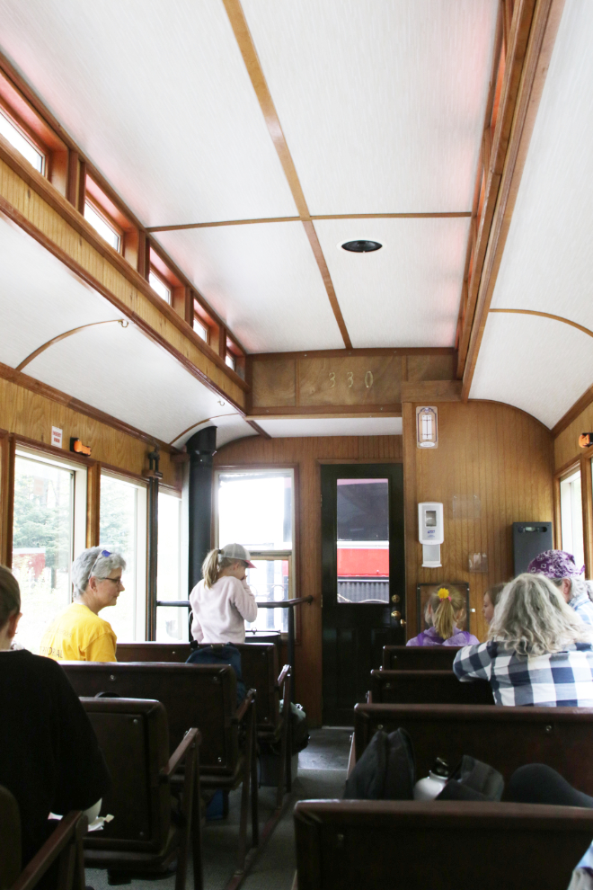
My chosen car was #330, named the Peace River. This steel-body car was built in 2001 (ine of 10 new passenger cars added that year) and has just recently been refurbished – it looks like new. It’s 50 feet 8 inches long and has 42 seats.
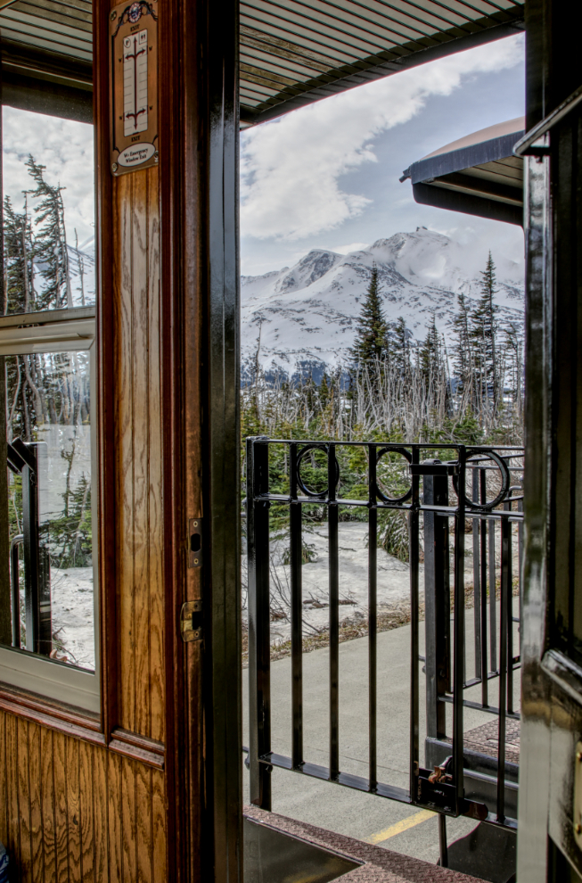
We took the front seats simply because they were empty, but the view from there was very good.
Fraser, elevation 2,764 feet, is at MP 27.7 of the 110.7 mile rail line to Whitehorse, though it hasn’t been used past Carcross (Milepost 67.5) for many years. You can see the 80 main points of interest along the line listed on my RailsNorth site.
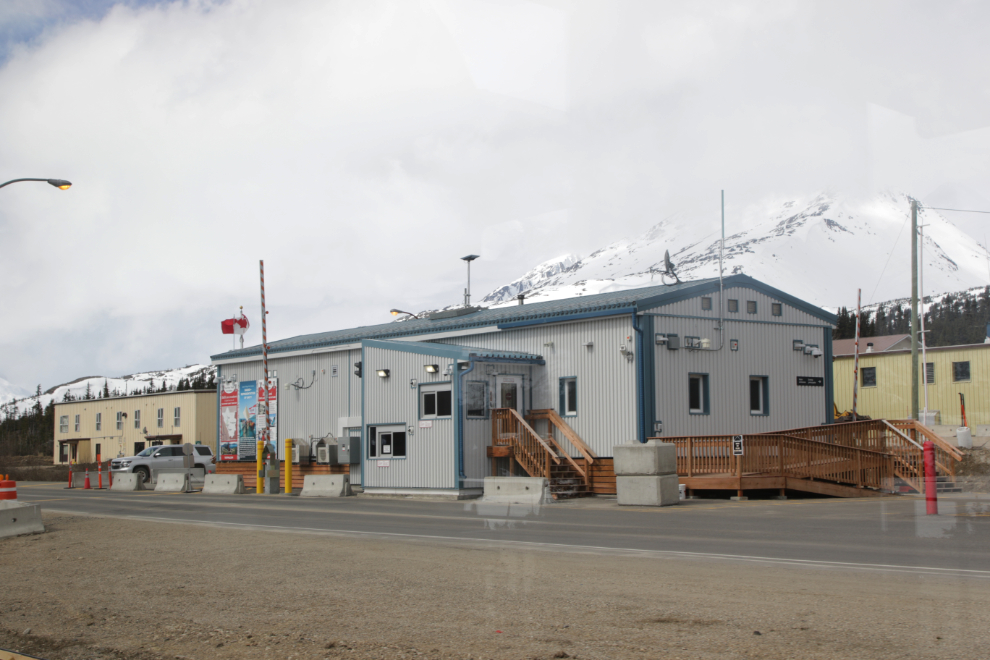
I had a bit of a power-nap, and just before our scheduled 11:15 departure time, we headed south. The next photo shows the new Canada Customs post, with the Highways camp behind it.
Just a mile south we crossed over the Thompson River.
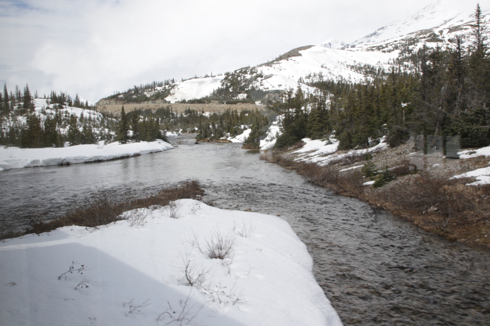
The line then climbs steeply along the cascading river.
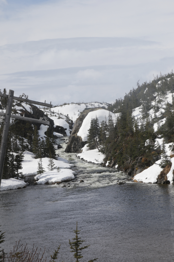
Crossing Meadows, elevation 2,931 feet, at MP 25.3.
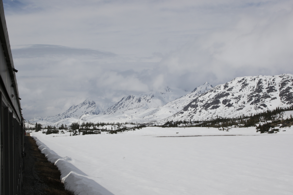
The highest point on the rail line isn’t at the Summit as you would logically assume but here at MP 24.2, where it tops out at an elevation of 2,940 feet.
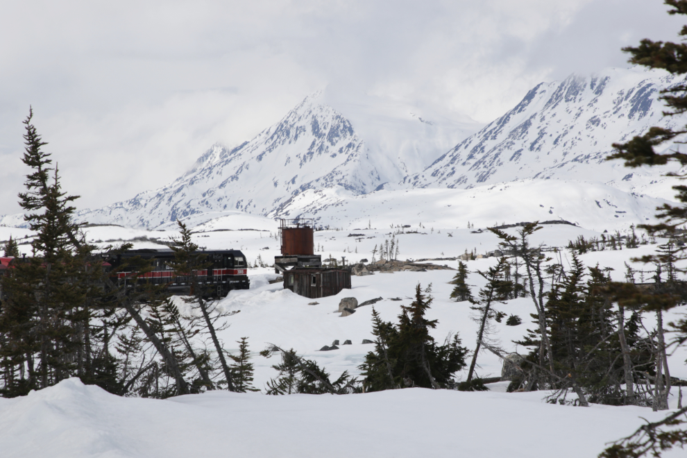
At MP 23.8 there is an old boxcar and fuel tank that used to be used by MoW (Maintenance of Way) crews. A Skagway company used to offer snowshoeing excursions and we would pick the people up here to take them back to Skagway.
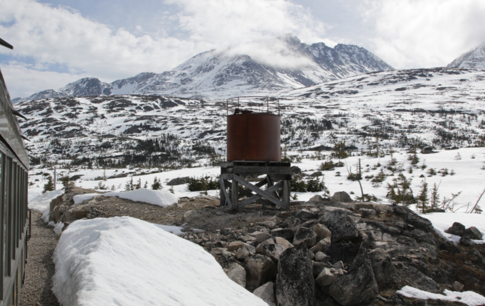
In July 2018 the fuel tank was the target for a buddy and I to start a long day-hike to a high, unnamed valley to the east. We canoed across Summit Lake to a bay just below this spot.
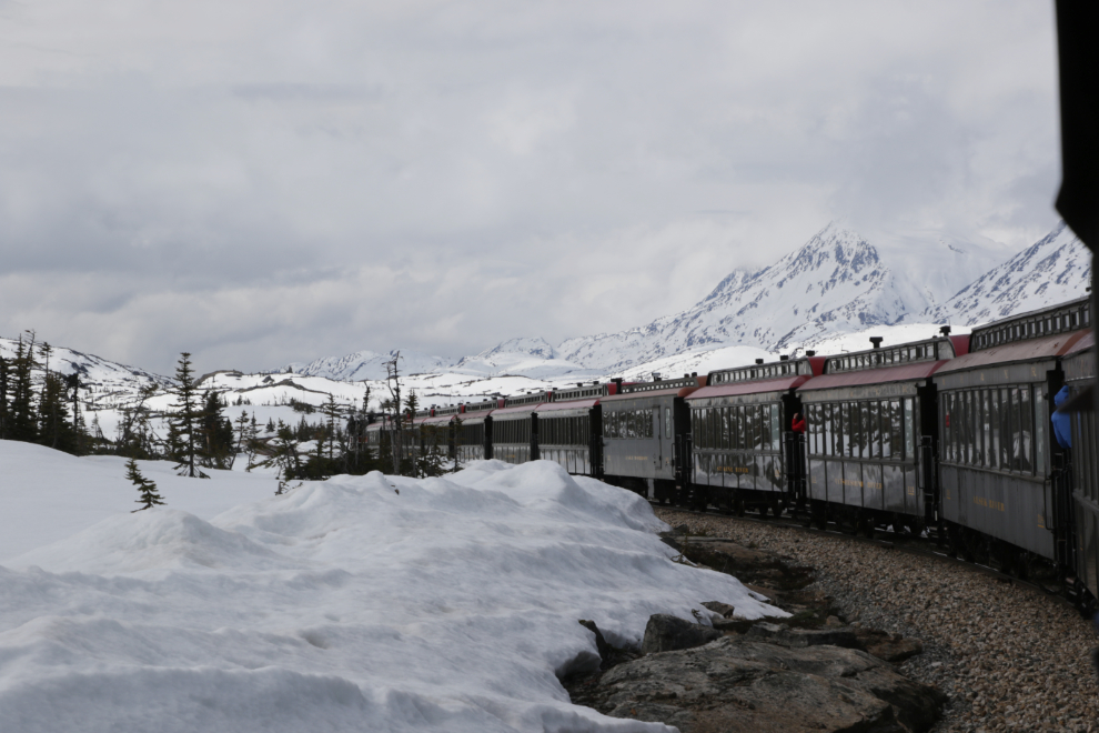
To minimize the amount of blasting 125 years ago, the railway was built wandering around many of the granite hills rather than going through them. Some of the curves have been straightened but many remain.
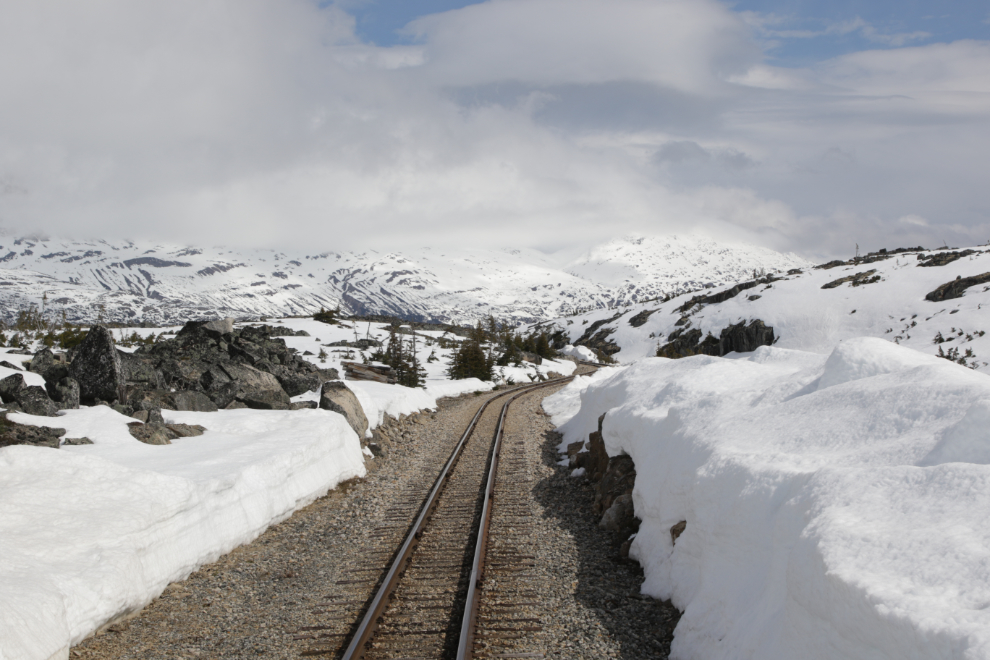
The next photo shows the northern end of the new loop track at the Summit. The vast majority of people choose to just go from Skagway to the Summit and back, and this loop has made switching directions much easier.
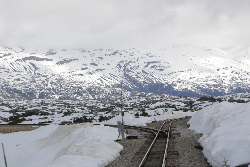
A lot of ballast is stored along the loop. Though it was hidden by snow, just north of this pile is the ruins of a pump station for the WWII Canol pipeline. A friend and I canoed down to have a good look at it in 2018 – you can see it here.
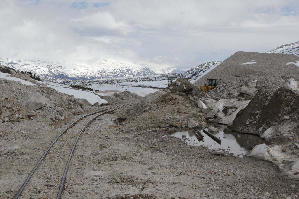
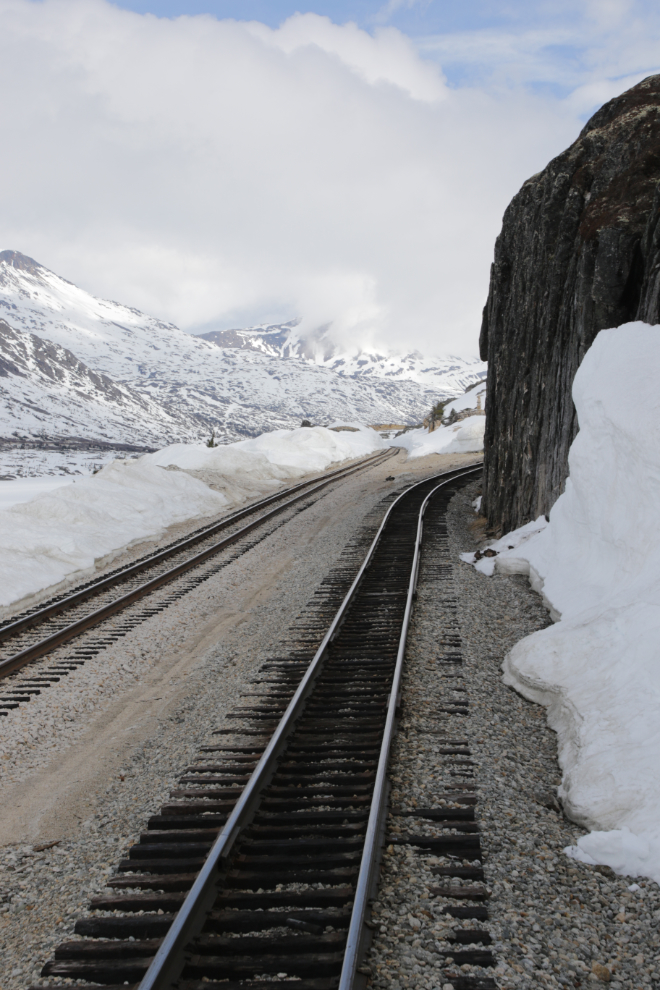
To combat snow drifting, two sections of track just north of the Summit had roofs built over them back when the railway worked year round. The Canadian Snow Shed was at MP 21.0 and the Boundary Snow Shed was at MP 20.5 but both were demolished many years ago.
As part of the 1995 celebration of the centennial of the arrival of the North-West Mounted Police in what is now the Yukon, two replicas of police patrol cabins were built, one in Whitehorse and one here at the Summit.
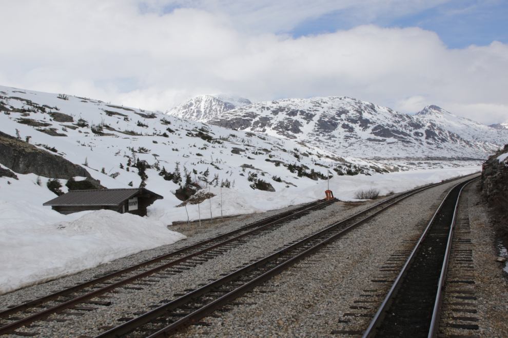
At MP 20.4 is the White Pass Summit, elevation 2,885 feet. Above the line on the left is the monument to mark the Canada-United States border.
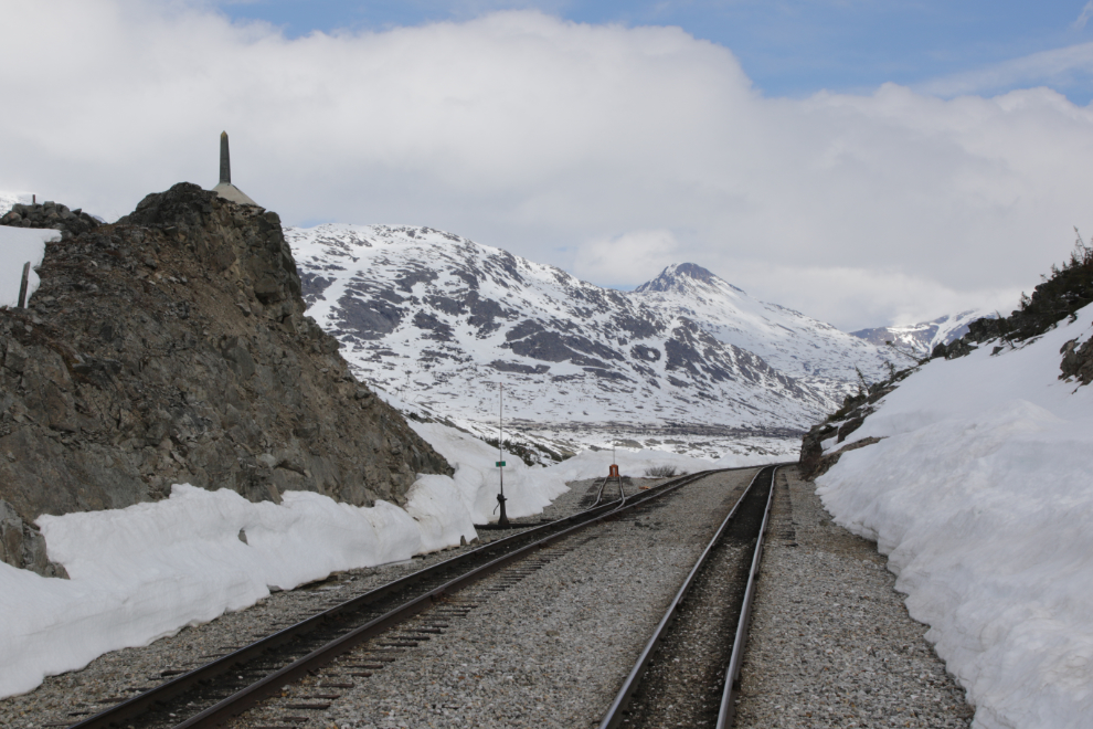
The snow depth reached its maximum just south of the Summit. Cathy and I both thought that there wasn’t much snow but looking back at my photos, it’s about average. Some years there has been hardly any snow there, and some years it’s been higher than the rail cars.
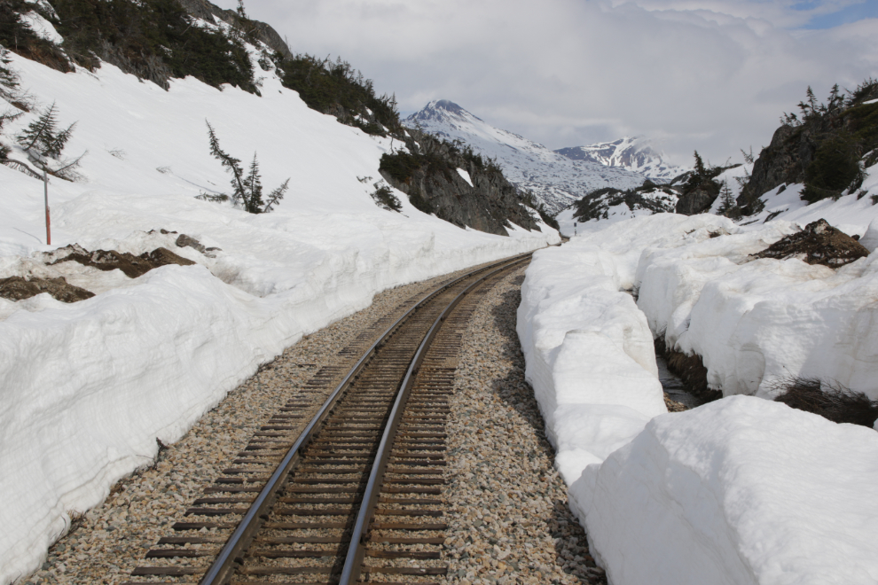
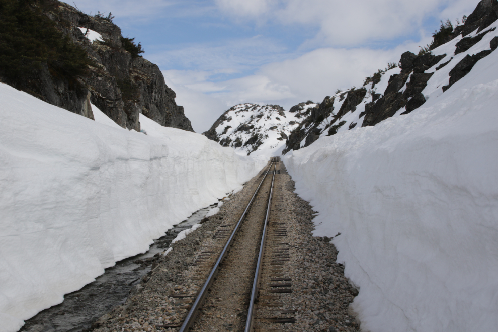
A sign marking the Trail of ’98 can be seen below. I’ve hike din from the highway a few times to hike that section of the original White Pass trail to the Klondike gold fields, and it’s very cool, with horse skulls and discarded/lost tools scattered along it. This was known as the Dead Horse Trail – the brutality experienced by thousands of pack animals along here was incredible. 🙁
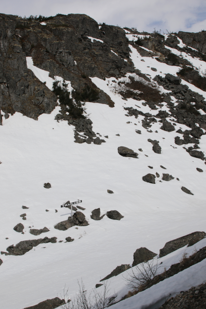
The American Snow Shed was located here at MP 19.2 but it too was demolished many years ago. When the snow goes a massive amount of wood from it can be seen below.
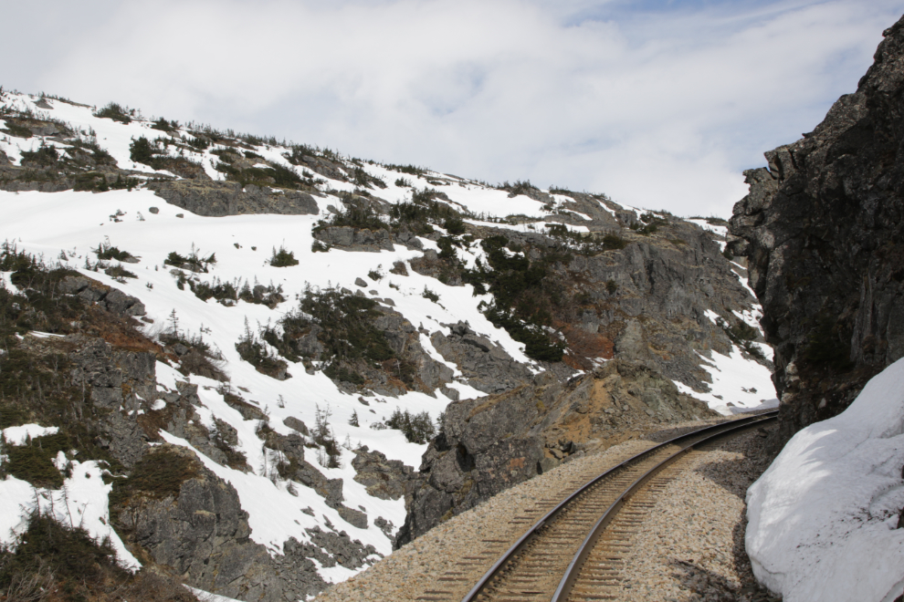
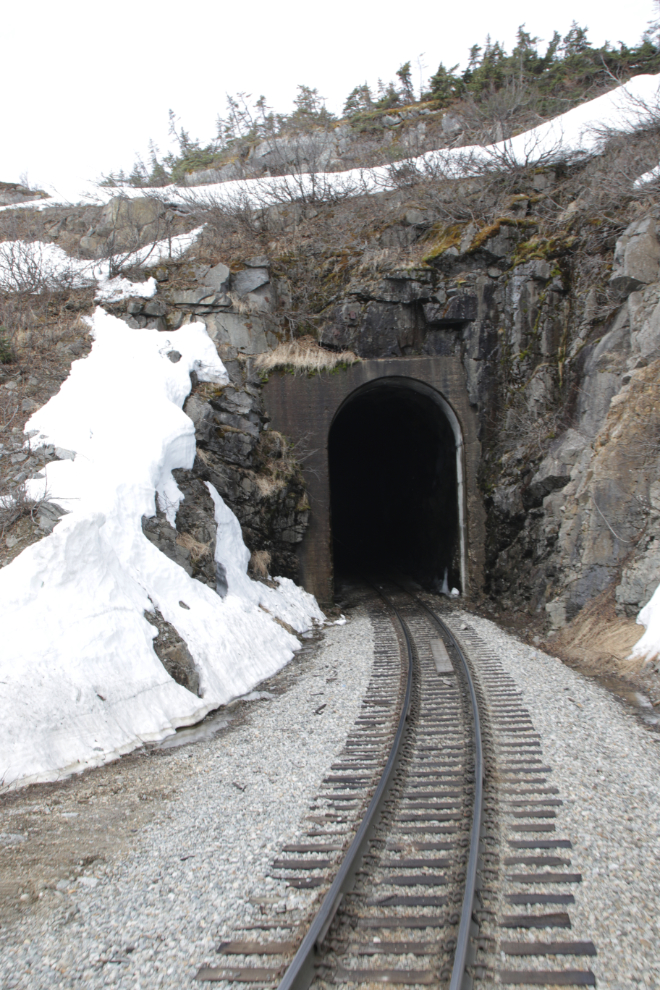
At MP 18.9 we entered the first of two tunnels – this one is 670 feet long. You may have noticed by now why I wanted to be in the last car. 🙂
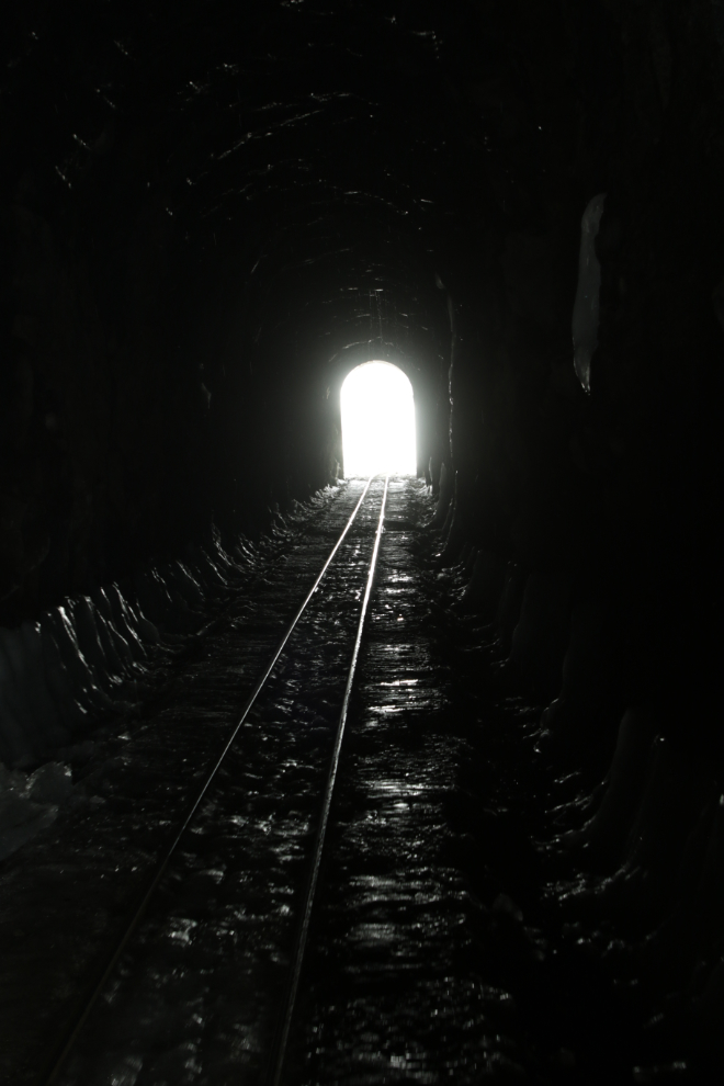
The south end of the tunnel.
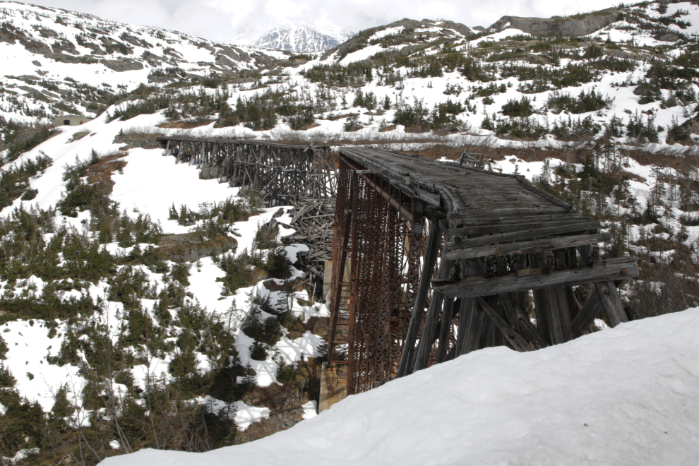
Immediately upon leaving the tunnel, the world-renowned 1901 cantilever bridge comes into sight. It was the highest bridge of its type in the world when it was built.
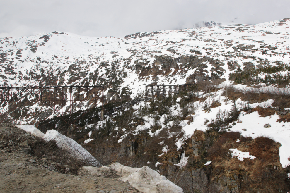
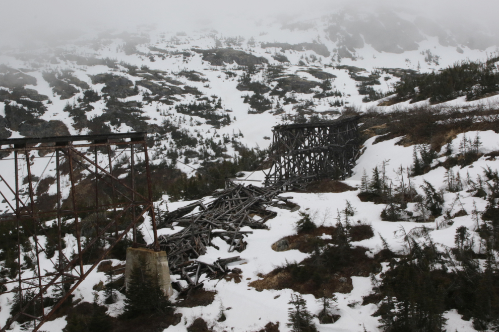
The northern section collapsed sometime over the winter of 2021-2022. “If a bridge falls in the mountains and no one is there, does it still make a sound?” It seems very likely 🙂
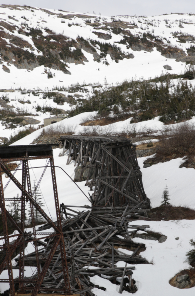
Even in ruins it’s a remarkable structure.
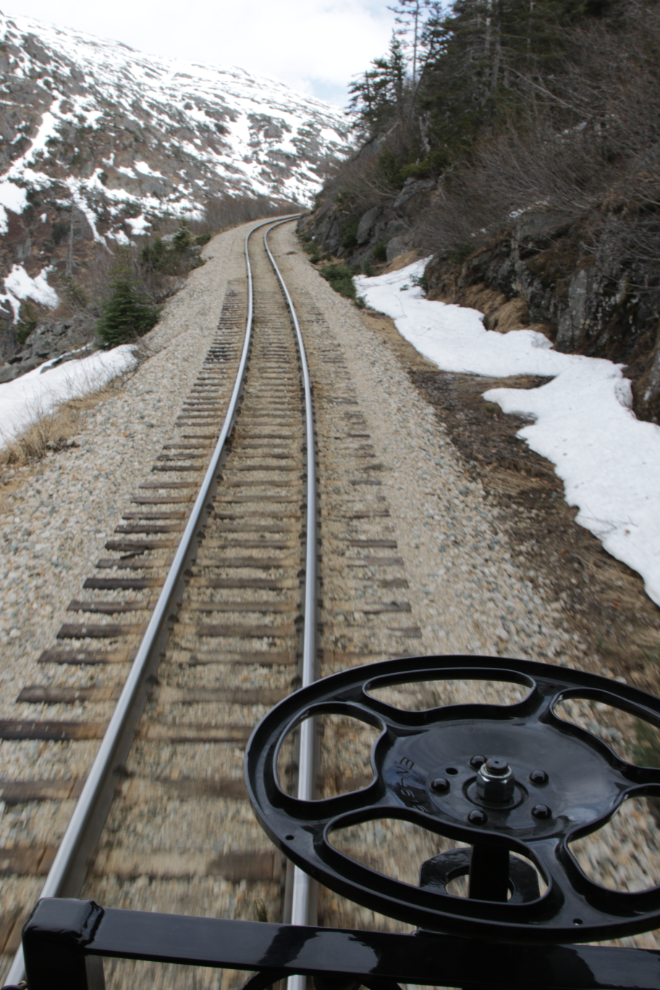
There has been an enormous amount of work done on the line recently, with new rails, ties, ballast…
At MP 15.9, “15 Tunnel” (which means it’s the first tunnel after Milepost 15) goes through Tunnel Mountain – it’s 250 feet long.
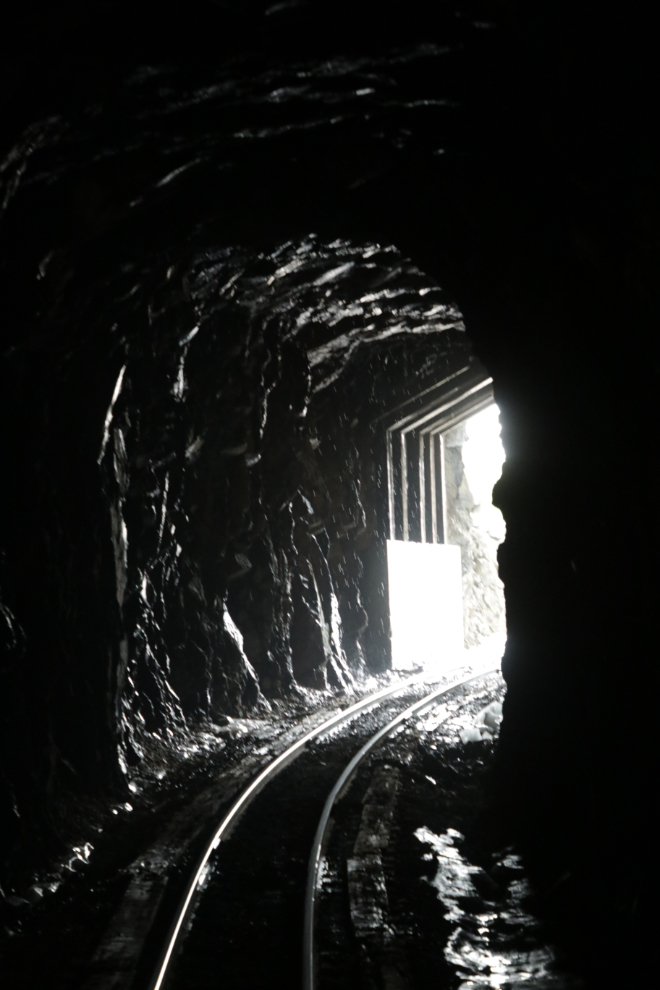
The south end of 15 Tunnel is one of the most-photographed spots on the WP&YR line – it’s best shot from a few cars back on a northbound train.
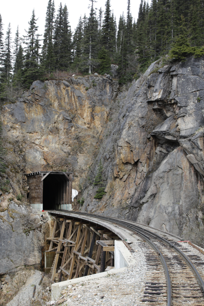
A lot of blasting was done here a few years ago to widen the shelf.
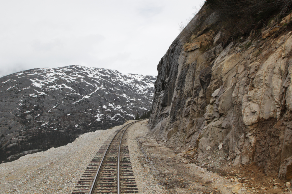
The cliffs above the section known as the Highline are very impressive.
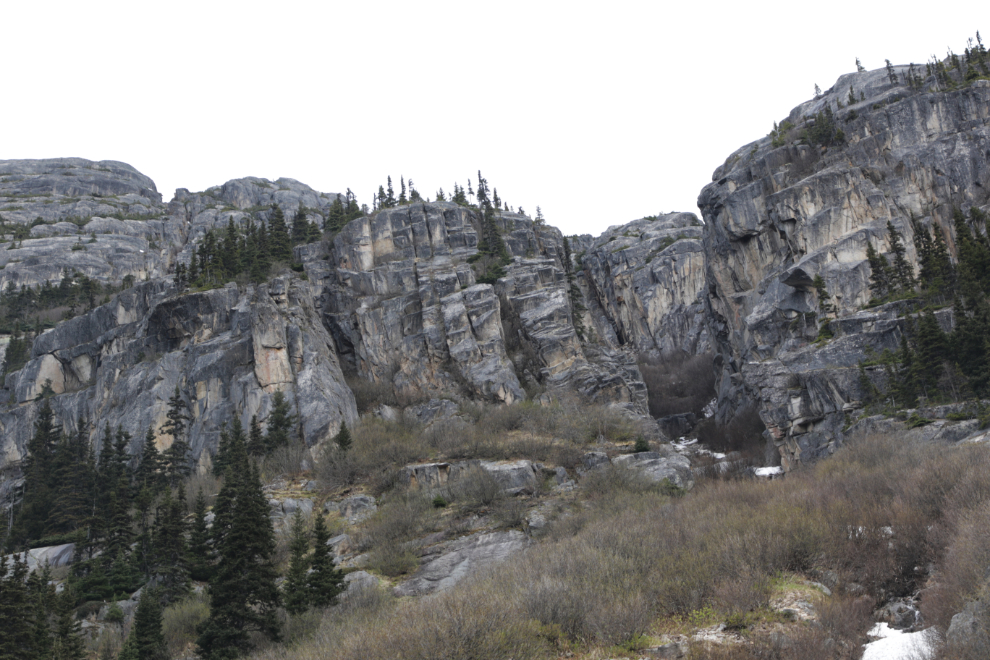
Just before reaching Glacier Station at an elevation of 1,871 feet, Bridge 14A crosses the main fork of the Skagway River.
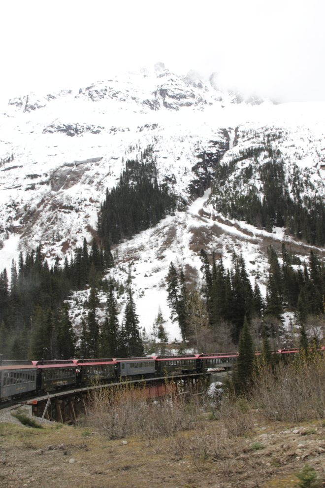
Looking back at Bridge 14A.
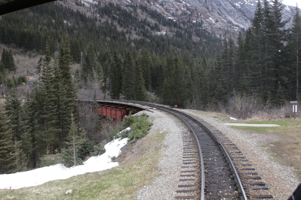
MP 13 – the double- and triple-tracking added over the past decade or so allows for maximum usage of the line, ensuring that the White Pass & Yukon Route remains one of the most profitable railways in the world on a per-mile basis.
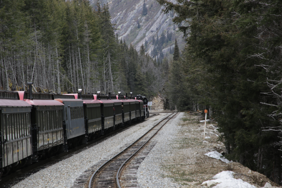
One of the countless creeks that flow under the rail line, most through culverts.
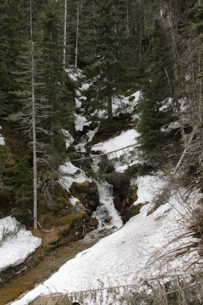
Bridal Veil Falls can be seen across the valley at MP 11.5.
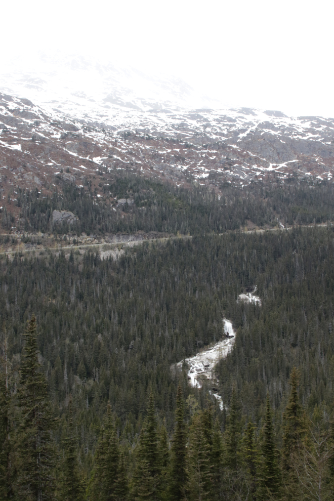
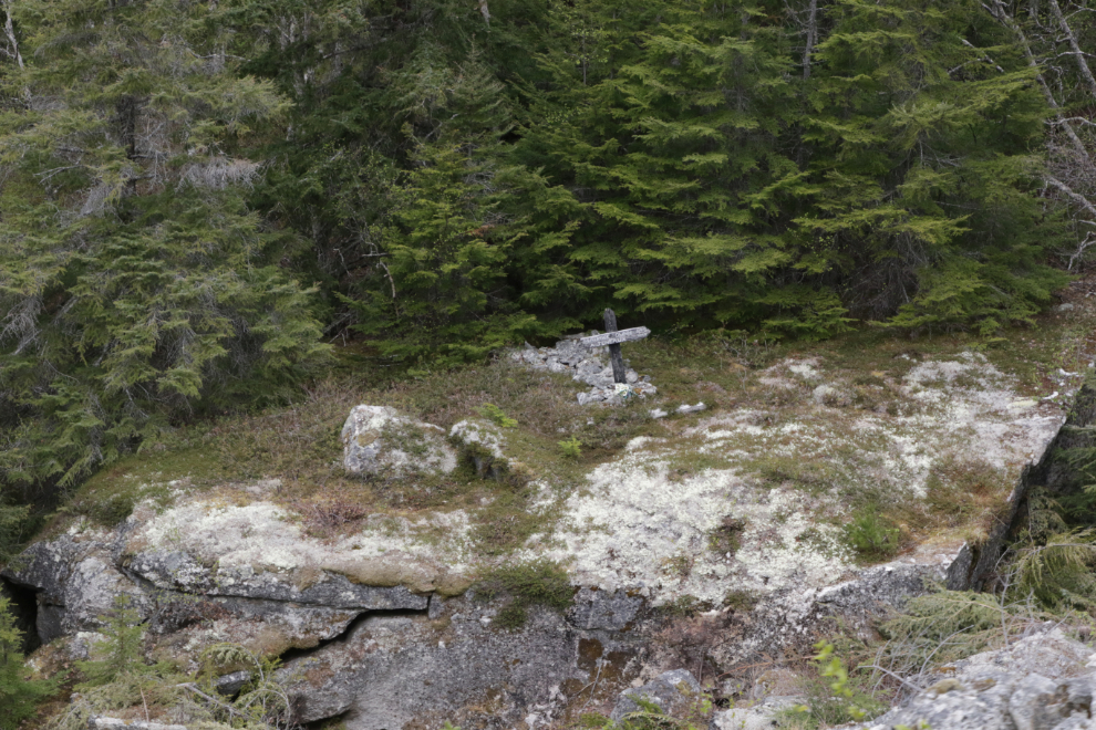
Black Cross Rock, at MP 10.4, is the final resting place of Al Jeneaux and Maurice Dunn and their mules, who were crushed by the 500-ton boulder the cross stands on, on May 28, 1898.
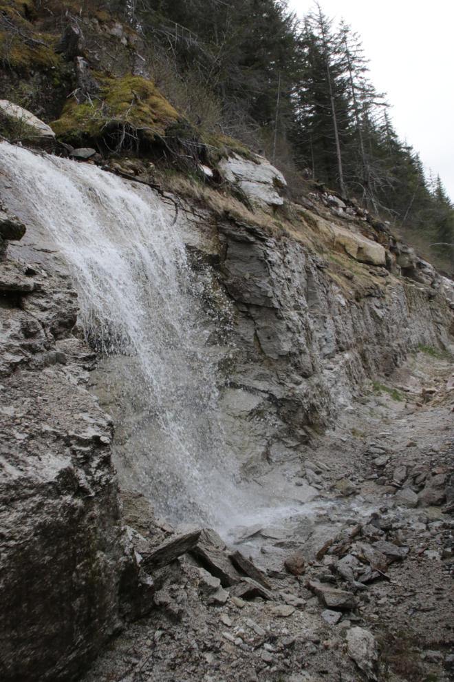
A man-made waterfall tumbles over a blasted cut.
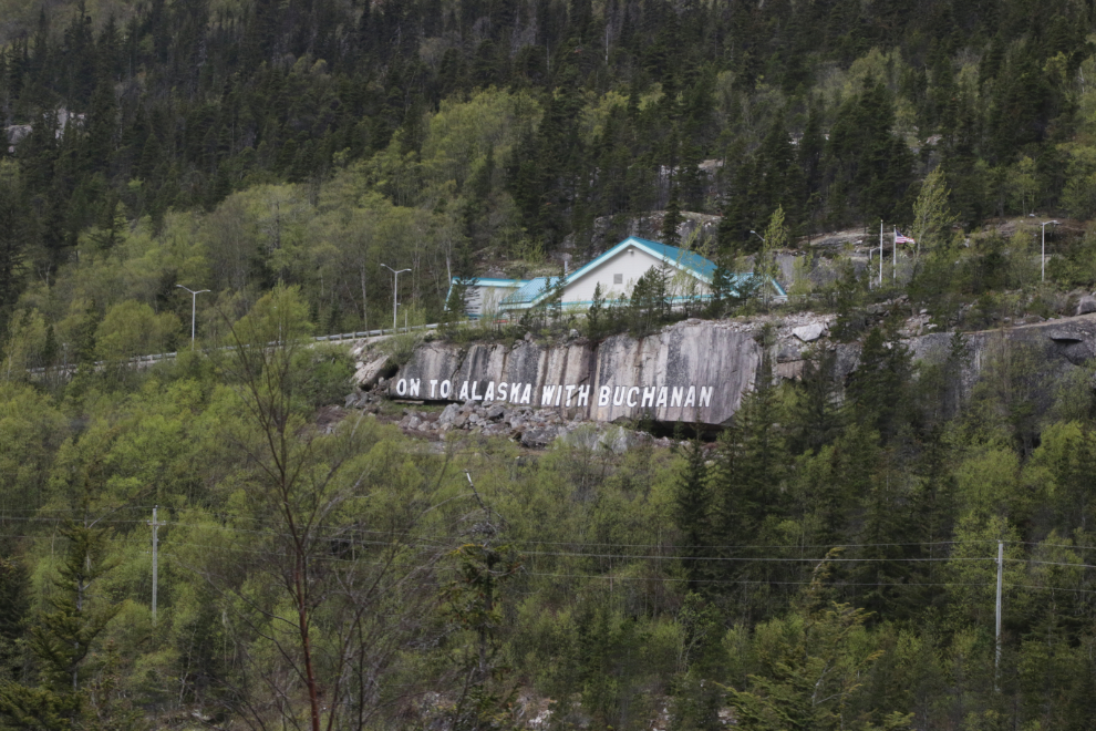
Below the US Customs post, painted in six-foot high letters, is the slogan “On To Alaska With Buchanan.” This sign commemorates Alaskan trips run for kids from 1922 until the late 1930s, sponsored by George Buchanan, a wealthy Canadian industrialist who made his fortune selling coal in Detroit, Michigan. He wanted to instill values of hard work and thriftiness, so the children were required to raise 1/3 of the cost of the trip themselves by doing odd jobs.
By about MP 10, leaves on the trees were getting noticeably larger as we got into the warmer coastal air.
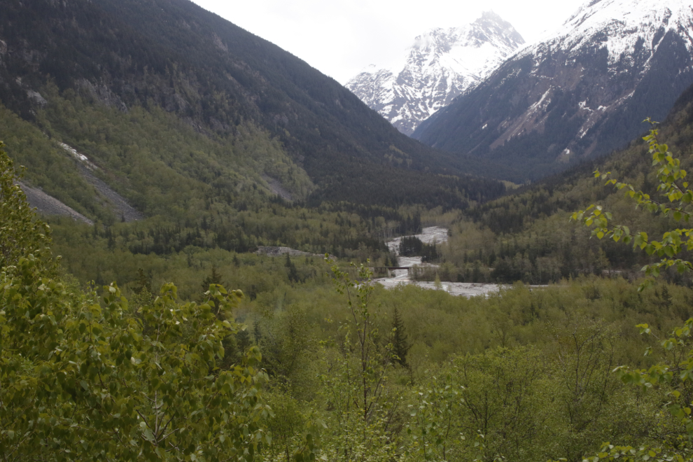
Bridge 5A crosses the East Fork of the Skagway River at MP 5.9.
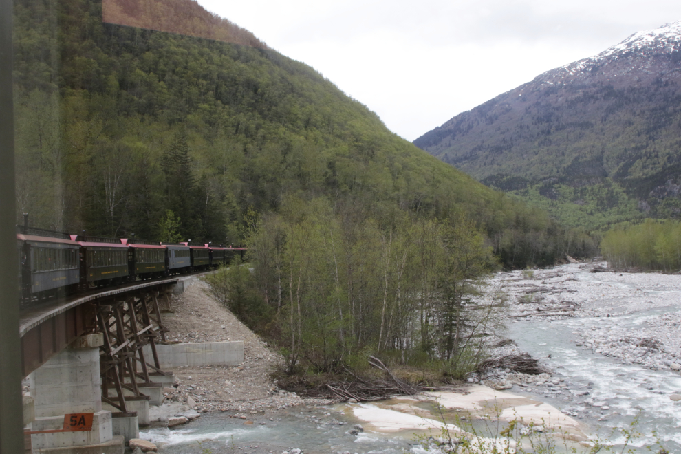
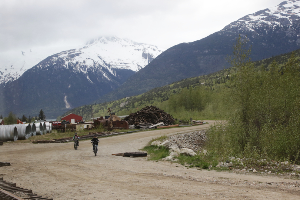
The northern end of Shops, the railway’s maintenance area. We had just passed by the Gold Rush Cemetery.
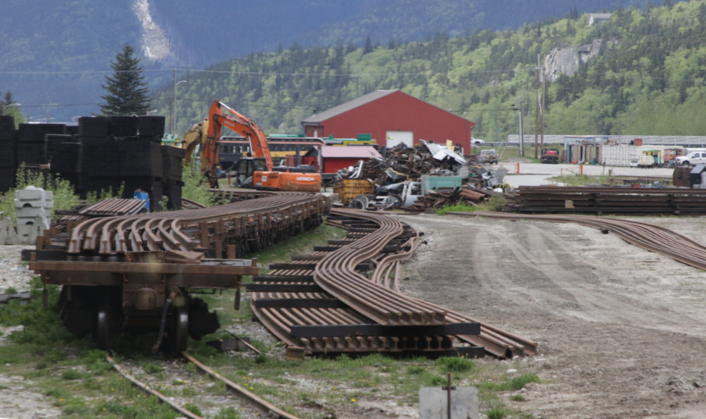
Miles of long rail are ready to be installed. While standard American rails are 39 feet feet long, long rails can be almost any length that the railway can deal with. I expect that these are about 300 feet long.
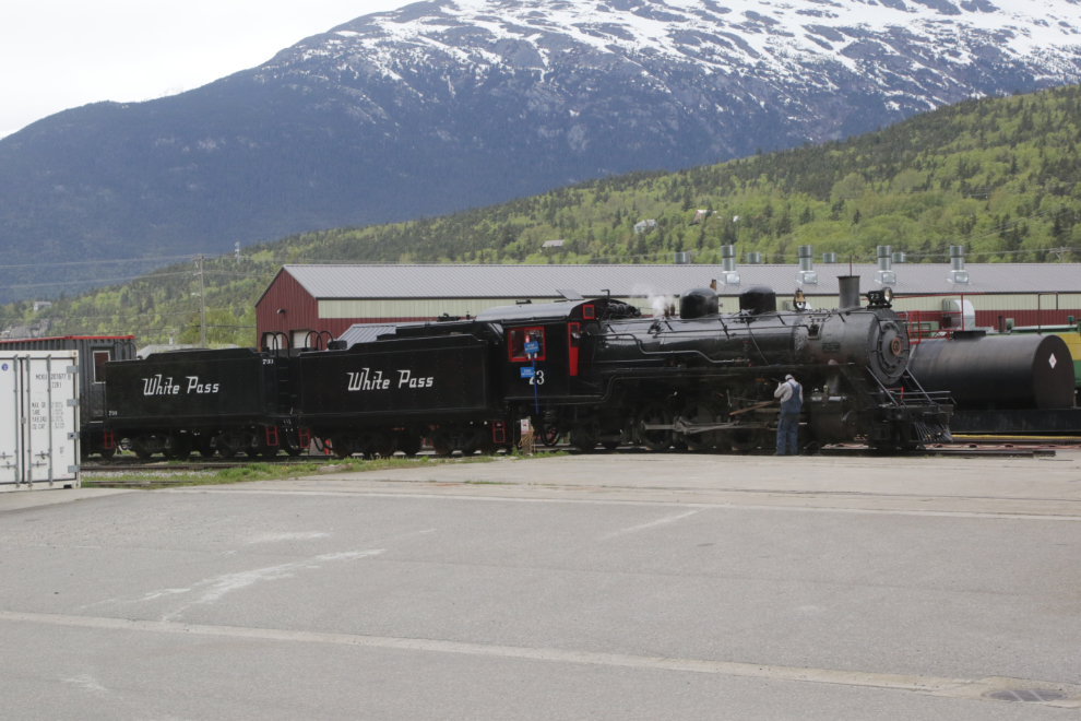
The railroad’s pride, Engine No. 73, a 2-8-2 Mikado type Baldwin Locomotive built in 1947, was fired up as we went by Shops. The steam locomotive was custom built for White Pass & Yukon Route.
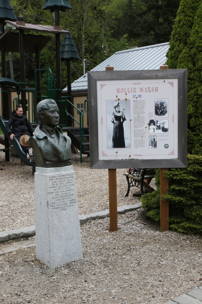
For some unknown reason, our train stopped quite a distance from the heart of Skagway and we decided to walk the kilometer or so to get a coffee. On the way we passed by Mollie Walsh, named for a Gold Rush heroine who was murdered by a spurned lover.
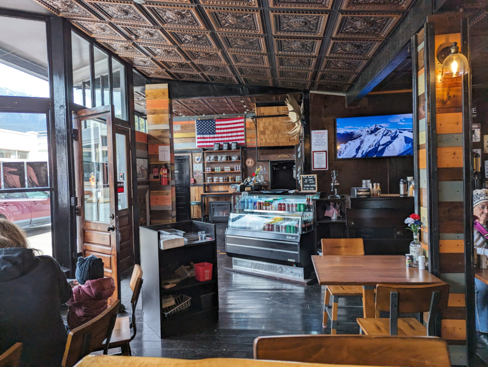
A new cafe called The Sittin’ Sasquatch looked like a good spot for a light lunch. Great vibe, and the clam chowder was among the best I’ve ever had, but one panini, one cup of soup and two speciality coffees totalled $56 Canadian. That’s a typical Skagway price but about double what we pay 100 miles north.
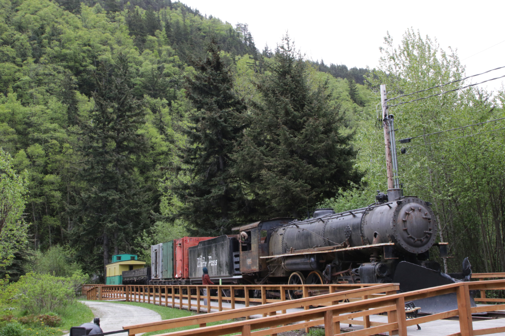
On the walk back to our train, I was pleased to see that Engine 195 is getting some attention. When World War II began, the WP&YR was in poor condition, but was needed to get men, equipment, and materials into the interior for the Alaska Highway and Canol oil projects. The railroad was taken over by the U.S. Army, and was operated by the 770th Railway Operating Battalion for the duration of the war. Engine 195 is a 2-8-2 steam locomotive built by the Baldwin Locomotive Works in February 1943 as part of the Army expansion.
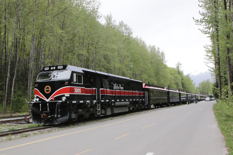
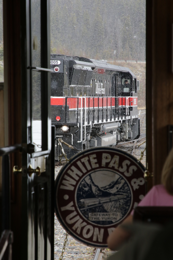
The locomotive pulling us was one of six bought in 2000. Built by National Railway Equipment Company of Mount Vernon, Illinois, they are massive by White Pass standards, about 30 per cent larger than we’re used to. They weigh 120,000 kg, have 3,000 horsepower, and cost about $2.5 million each.
We re-boarded car #330 – this is what it looks like inside.
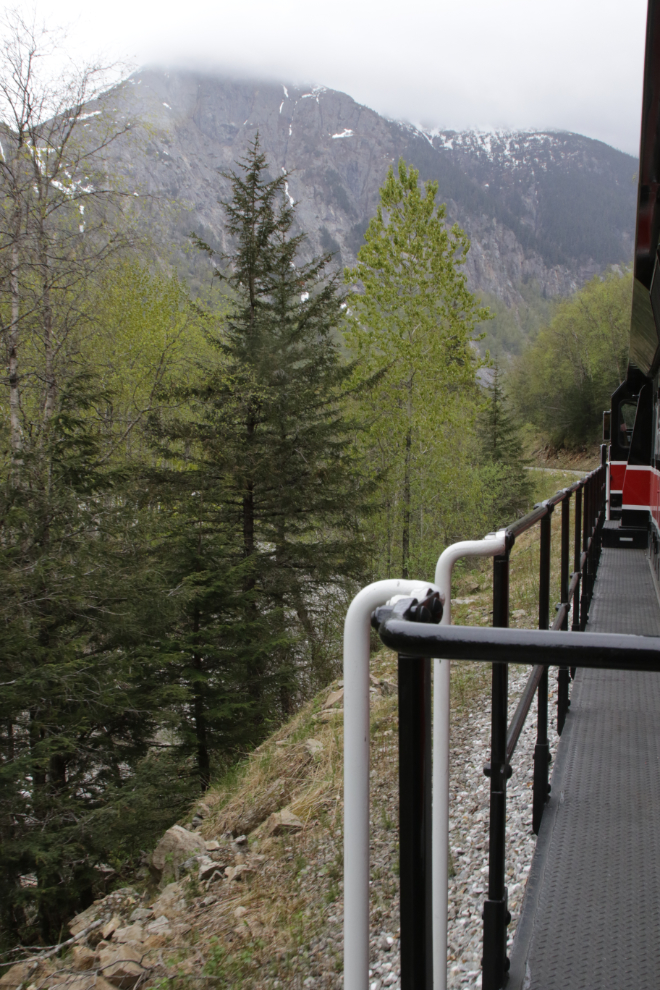
It started to rain as we pulled away from Skagway at 1:45 Yukon time. That was the forecast, so I wasn’t surprised. In fact I was pleased that the rain had held off that long. From being the last car on the way down, we were now the first car, which offered some different photo perspectives.
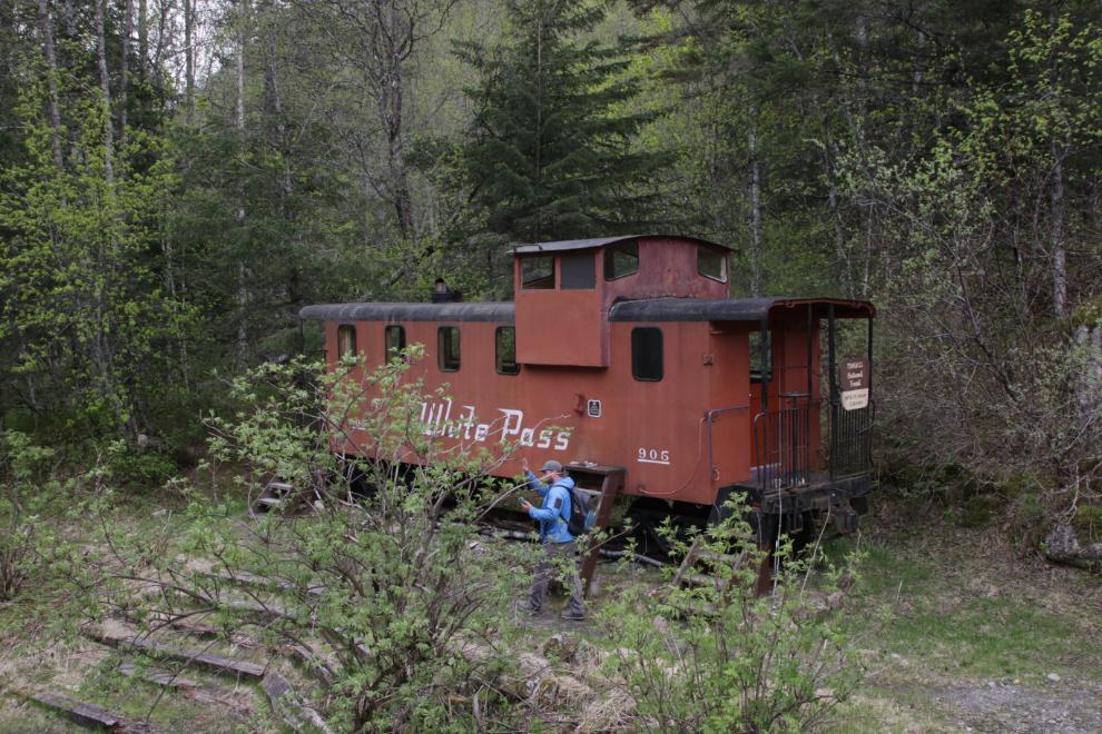
We dropped someone off at the Denver Caboose, which has been converted to a cabin which can be rented from the Forest Service for $45 per night.
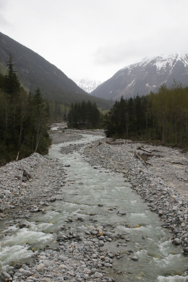
Looking up the East Fork of the Skagway River from Bridge 5A.
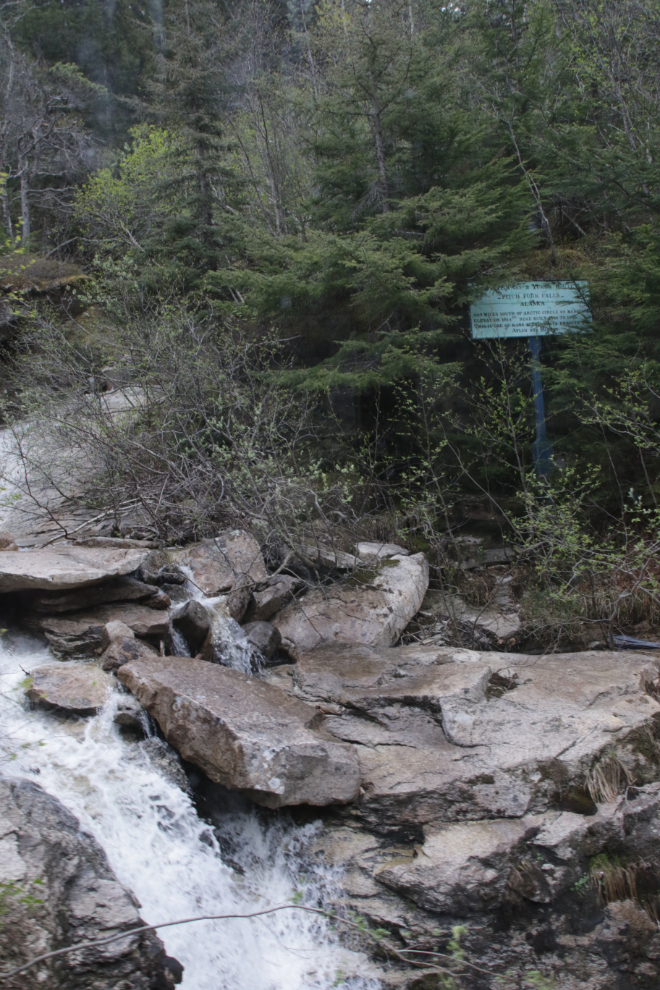
To get a photo of Pitch Fork Falls you need to know it’s coming and be very quick! Trains used to slow right down for it, but time is money now.
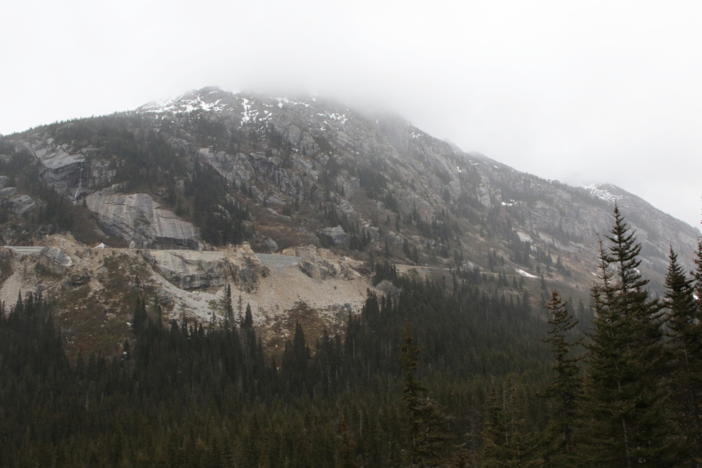
The Highline from down below.
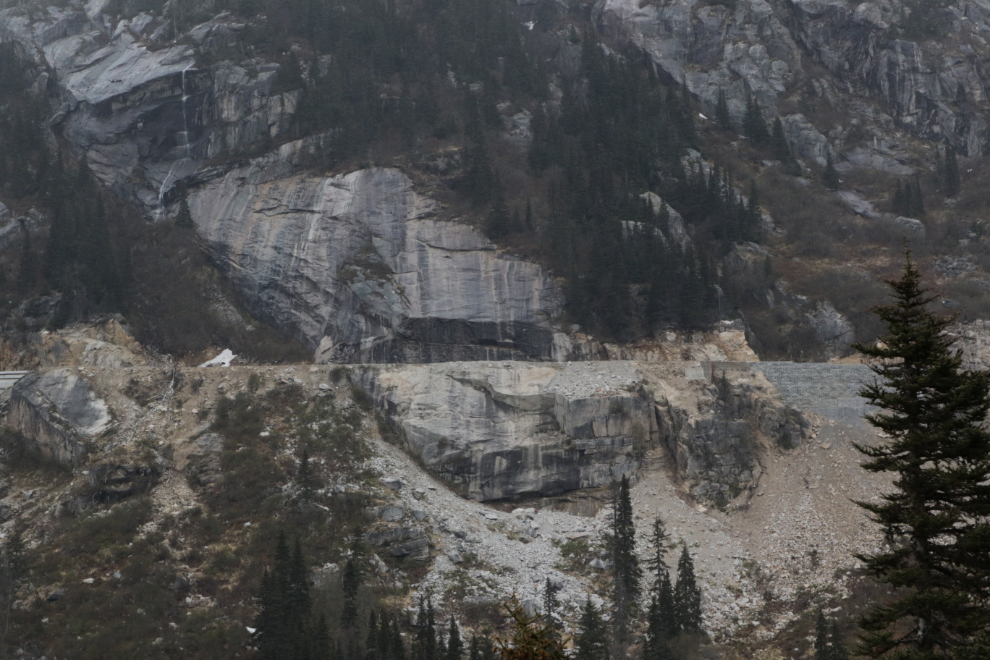
A telephoto look at Slippery Rock. Some of the most famous photos from the construction period (by E. A. Hegg) show men hanging from ropes drilling holes to blast a shelf across this cliff.
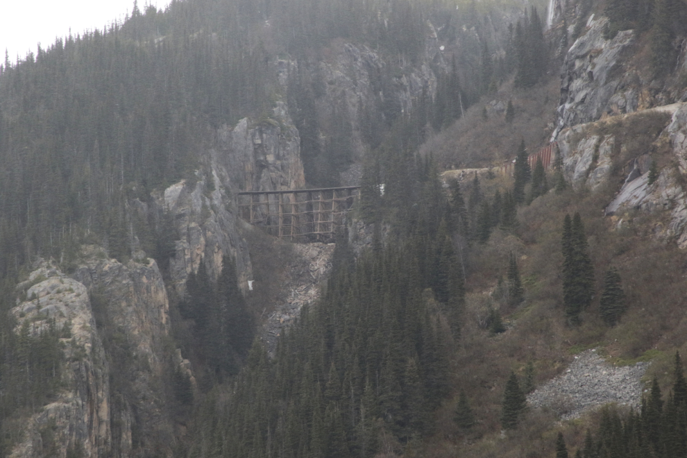
The trestle leading up to Tunnel Mountain, seen through the rain. Wiping rain off the camera lens was a constant job.
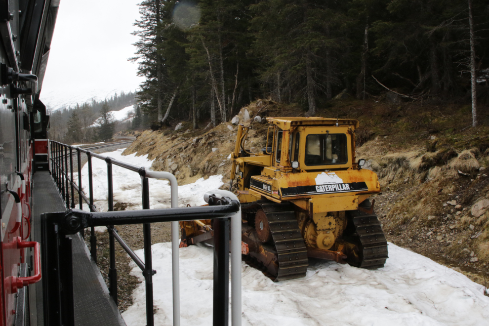
One of the hard-working Cats that clear the line each April, and keep it open into October.
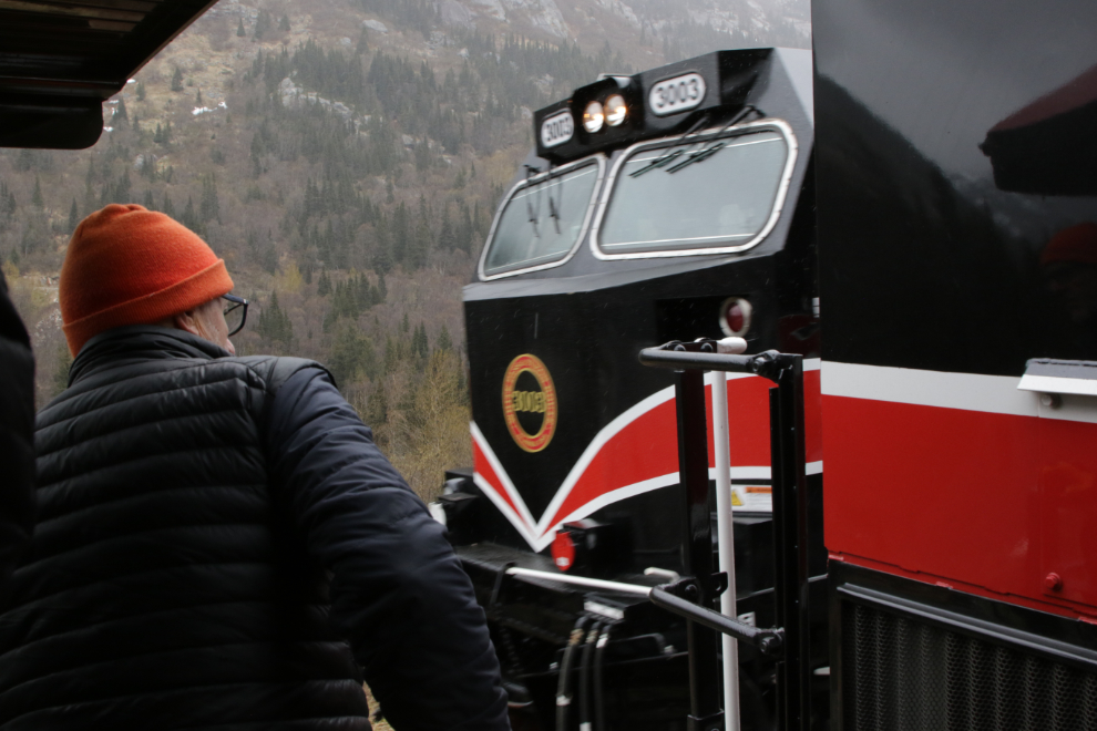
A split-second grab shot of another locomotive going by. 🙂
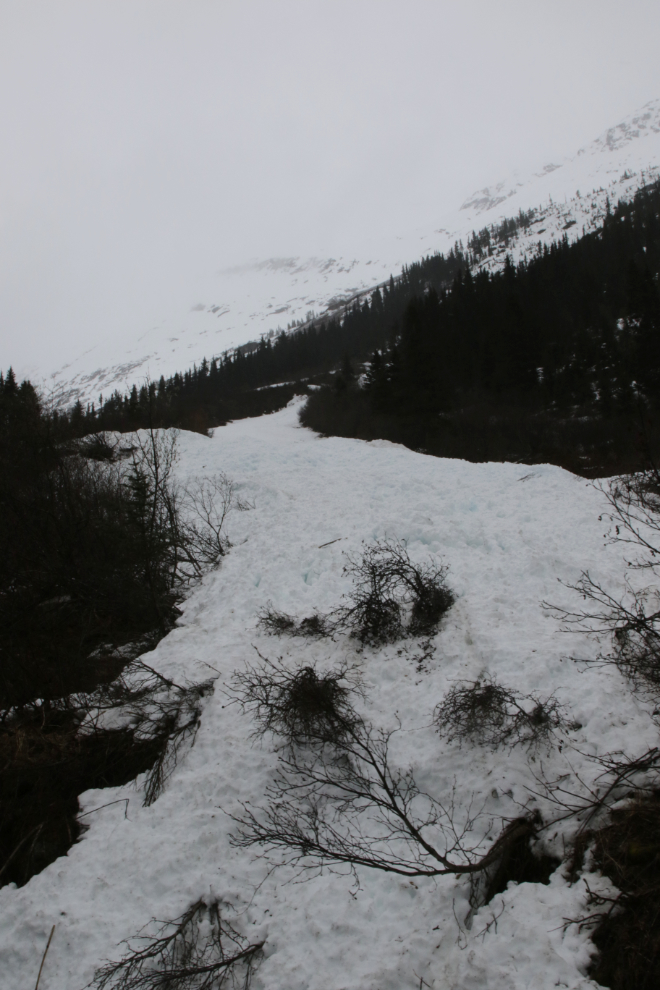
Avalanches can be a problem well into May some years. I was on a train that got trapped by an avalanche for 2-3 hours on an April ride many years ago.
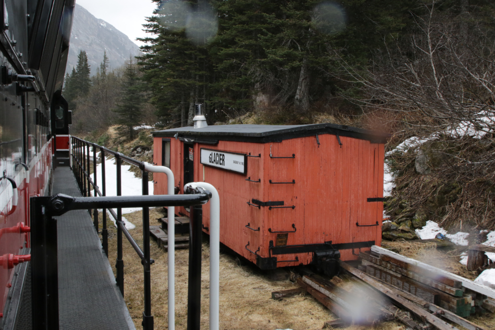
There is another caboose parked at Glacier, but this one isn’t for rent. The rain had gotten heavier and it was very cold, so times on the outside platforms got shorter and shorter 🙂
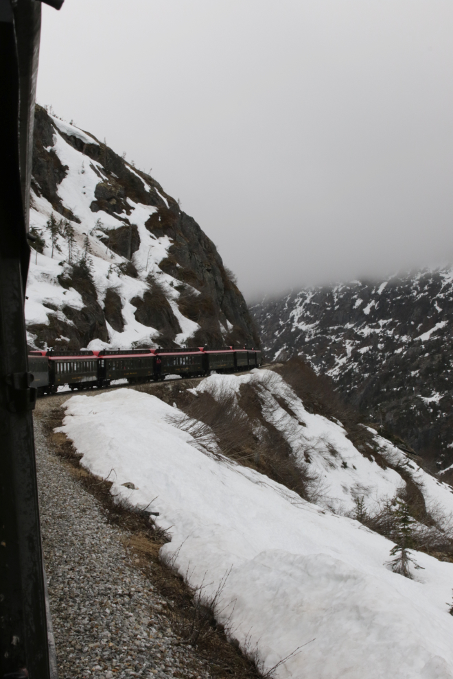
A couple more photos of the cliffs above us.
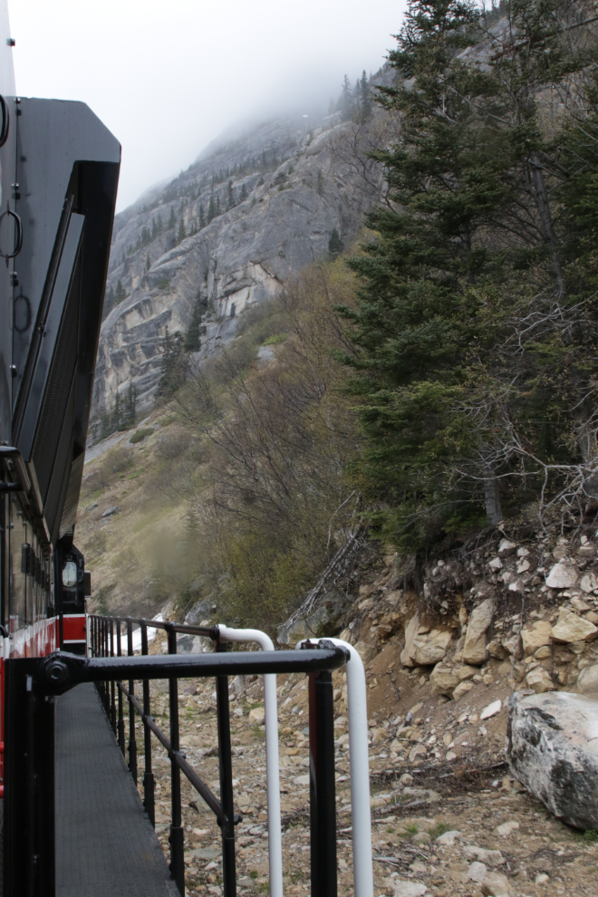
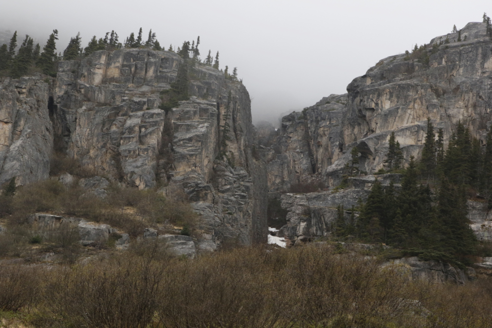
Winding along the slope above the Trail of 98.
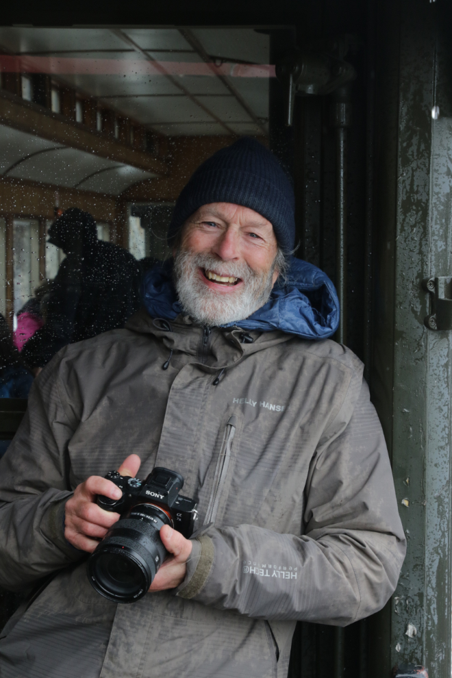
Some new people had joined us at Skagway for the trip back up the hill, including two photographers I know well. Sitting right behind me was Vince Federoff, photographer for The Whitehorse Star for many years and now with the new paper, The Yukon Star.
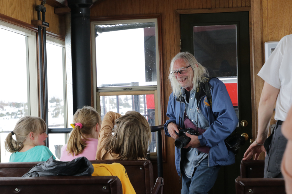
In the car right behind us was the very talented Ray Marnoch. It was really nice to be able to chat with both of them for a while.
Another shot of the ruins of the cantilever bridge just because I couldn’t resist.
Before reaching the Summit again, the clouds had dropped down and it had started snowing quite heavily. My photography ended except for a final shot at Fraser. The final photo of the day shows the locomotive repositioning to tow the train back down to Skagway again.
As we had hoped, this was a very relaxing, incredibly scenic way to spend a day. I hope that you’ve enjoyed this look at “The Scenic Railway of the World,” the White Pass & Yukon Route 🙂
This is blog post #1,587 since April 25, 2006, and there are a total of 24,811 photos.

After taking the summer off from all forums, blogs, social media and so on…I am looking forward with real pleasure to seeing what you and Cathy and the fur kids have been up to since then… and what a great way for me to start couch journey… what has been a bucket list item for me on every trip to Alaska over the years now has a date next to it… the first week of the season seems that it would interest me the most. Glad to see that the day really piqued your interest. I really enjoyed the photos and commentary. Always enjoy being along for the ride with you.
Murray,
How great it is to that you are still around!! (after all you are a bit younger that I)
Am I to assume that you have recovered from your mishap a few years ago?
Judy and I still remember the trip up the mountain you treated us to!
Hi Dave! It’s great to see you here. The 5 years since my injury have been a roller coaster – I’m still a mess but am working very hard to do the things I love.