BC & Alberta RVing: Pine Pass through the Rockies to Hinton
On days 6 and 7 of the trip, Monday and Tuesday September 14th and 15th, I was mostly on a push to reach Hinton, though I was going to stop as often as possible when the opportunity arose.
The West Pine rest area had been a really nice place to spend the night – the highway was extremely quiet. We were in bed before 8, and with a few minutes up just after 01:00 to give Monty his tramadol I’d forgotten at dinner (and woke up because of, I think), slept until after 07:00! That’s my first real “crash” night of the trip.
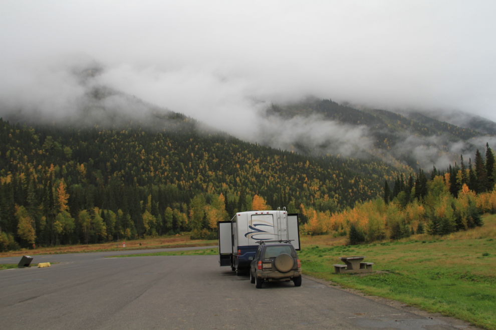
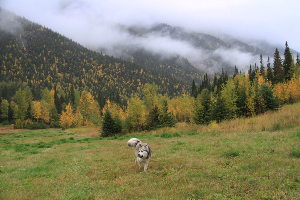
Before we hit the road at about 9:30, Bella and I had a good ball play on the large grassy area beside us. She hasn’t had a lot of opportunity to run free during the trip, so this was really good for her.
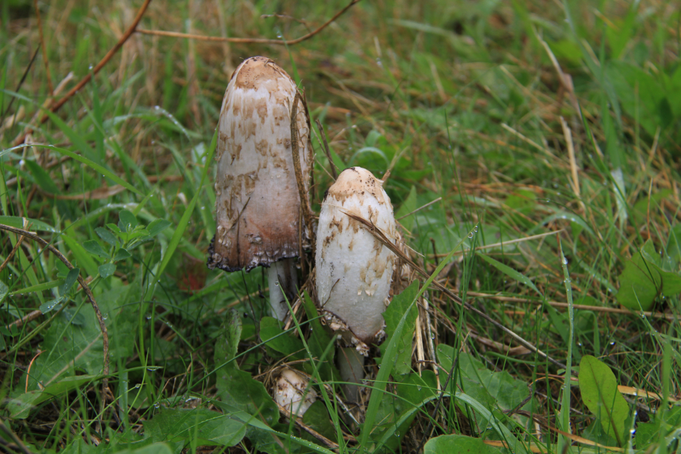
If I knew my mushrooms, I probably could have had a good addition to my breakfast omelette.
One of the places I was determined to stop at was Bijoux Falls. The park is right at the bottom of this steep hill down from Pine Summit, so in the large vehicles I’m usually driving, this takes some forethought beyond the 2-km-ahead highway warning signs.
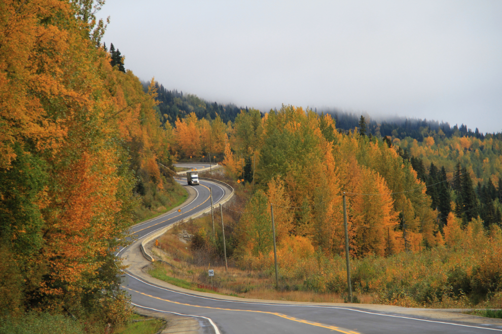
It’s just a tiny park, and I’ve never had the combination of time and weather needed to make the stop possible or worthwhile.
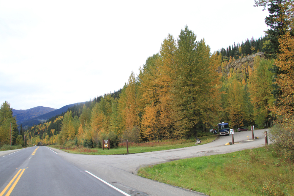
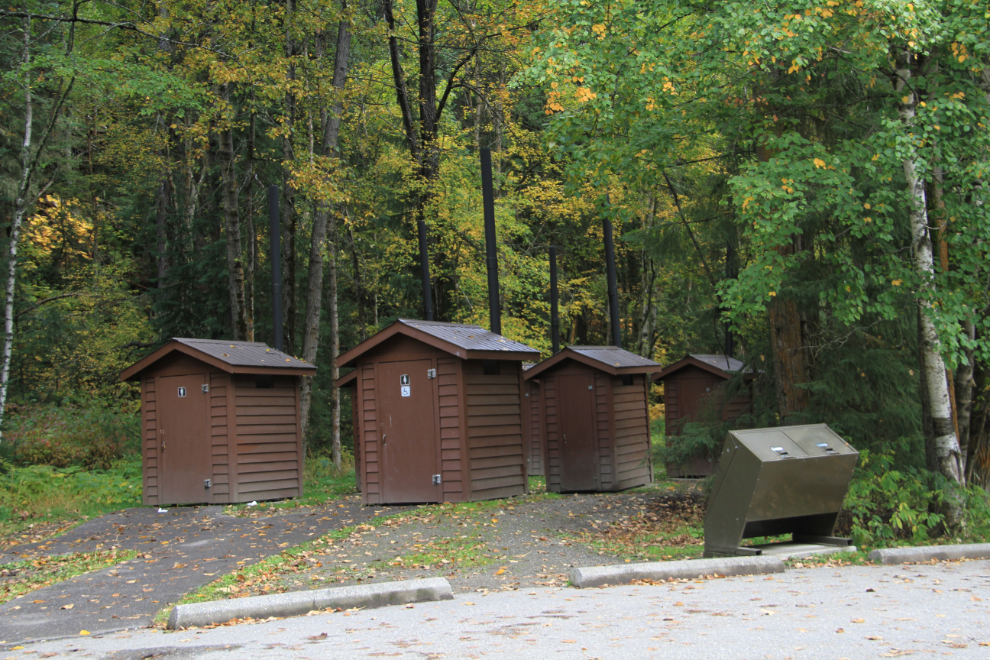
There was only one other vehicle when I arrived, but apparently the park does get well used, judging by the number of outhouses 🙂
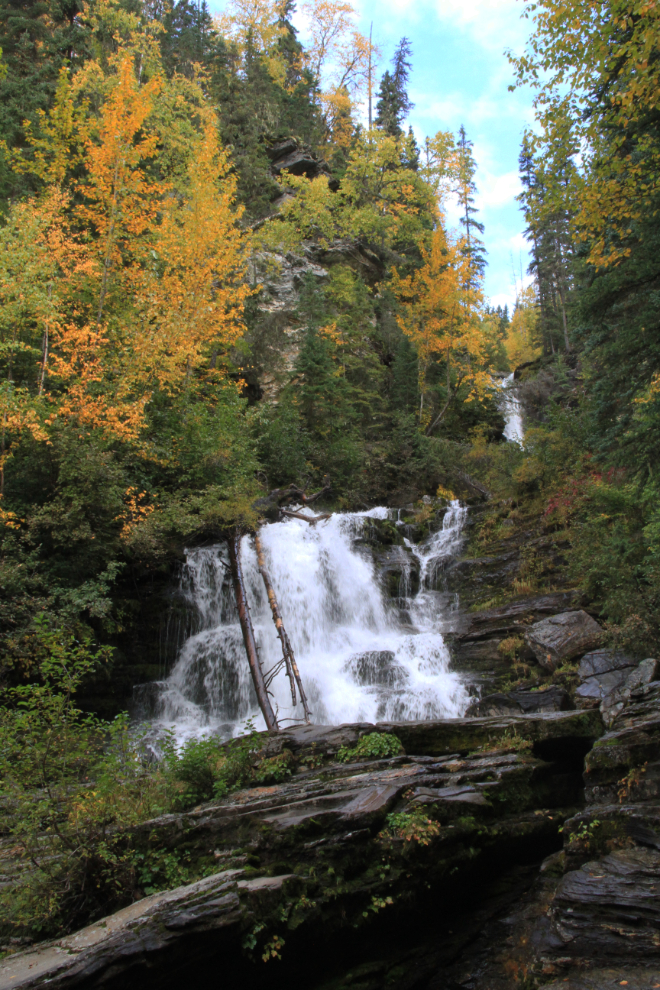
Bijoux Falls is lovely – it would be, as advertised, a great place to stop for a picnic
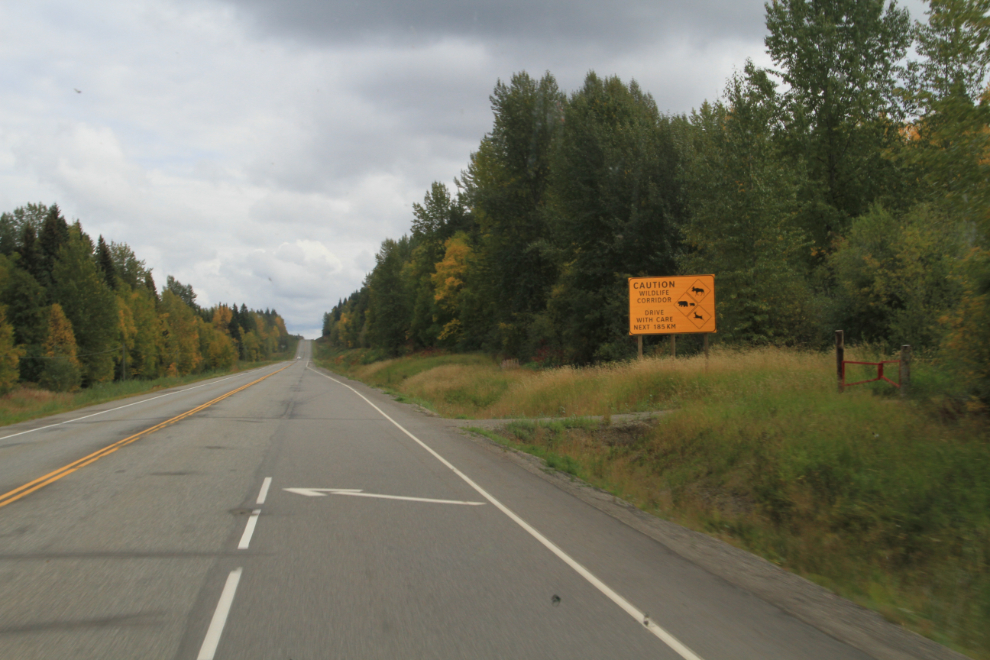
By 2:00 we were headed east on Highway 16, the Yellowhead, east of Prince George. The sign says “Caution, Wildlife Corridor. Drive with care next 185 km”, with graphics of moose, bear, and deer.
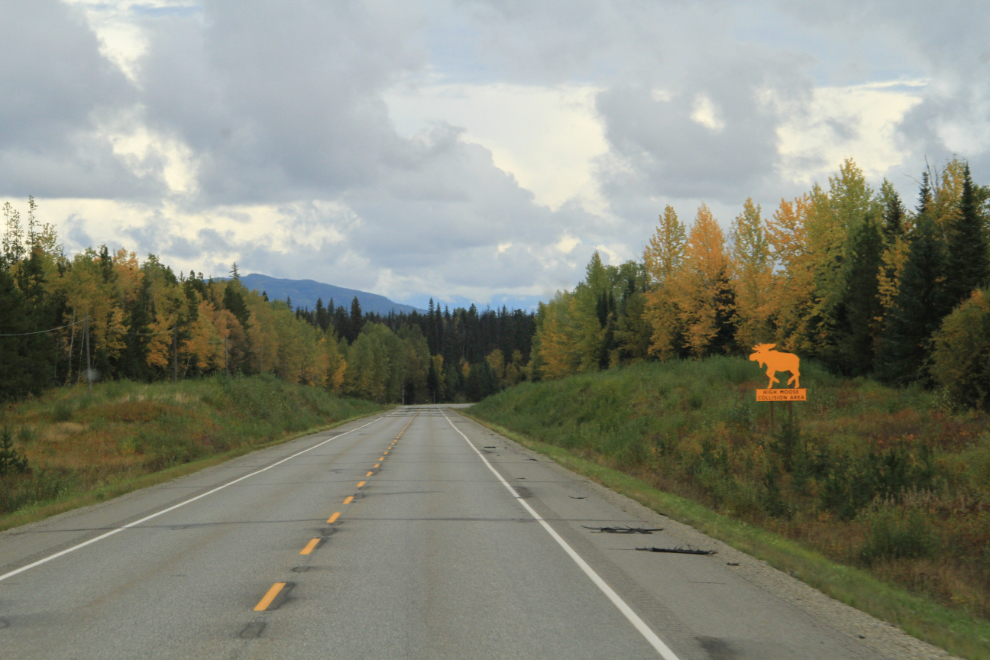
Now the signs are getting serious – “High moose collision area”.
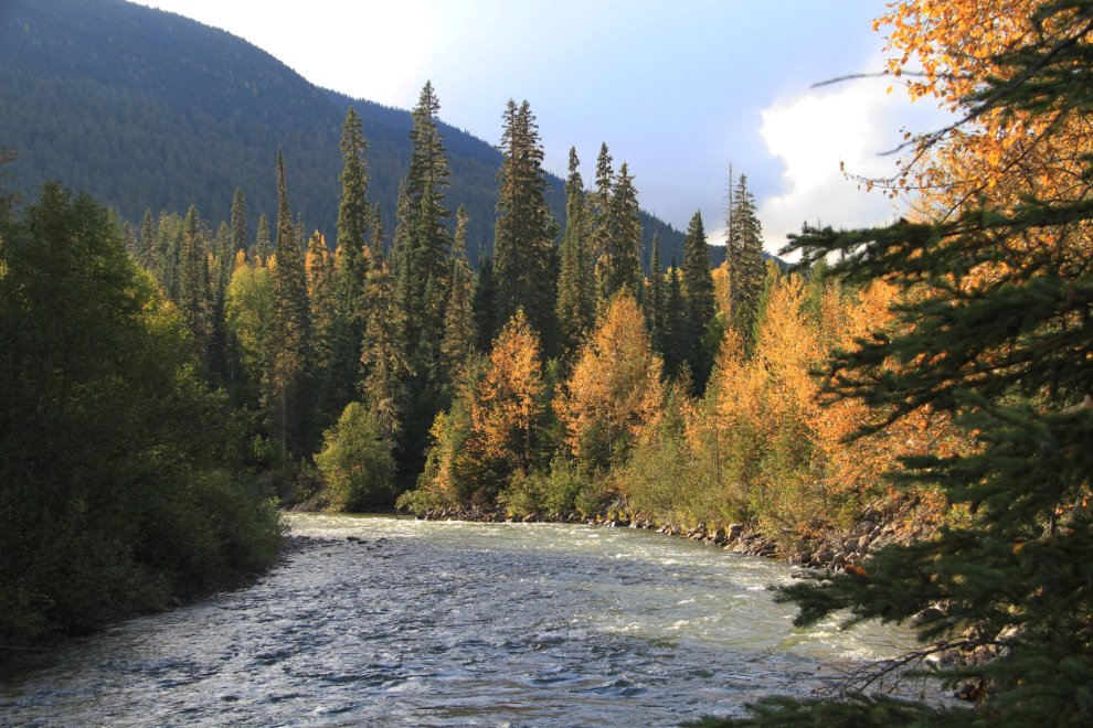
The large Slim Creek rest area 123 km east of Prince George was a lovely place to walk the dogs and is big-rig friendly – we were the only ones there.
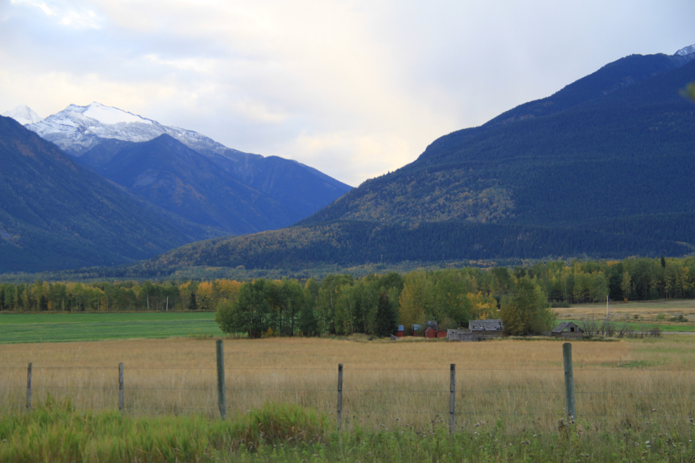
The further east you go, the more impressive the mountains get, as you’re getting into the Rocky Mountains. East of McBride, I would have stopped a few times for photos if I was in a vehicle that was narrow enough to park on the shoulder and be out of the traffic lane.
At about 6:30, I shut down for the night at the small Baker Creek rest area, 234 km (146 miles) east of Prince George. I was the only one there, but a semi joined me a while later – that made access through the parking lot tight enough for other semis that I only moved my dining room slide out a few inches.
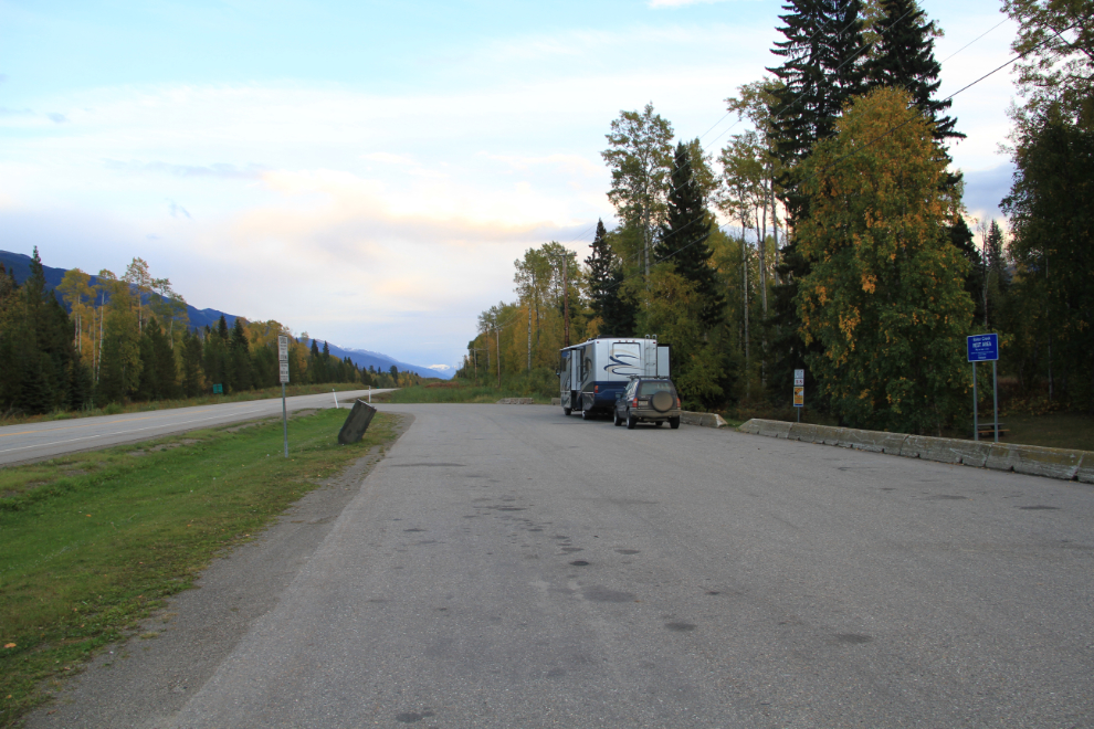
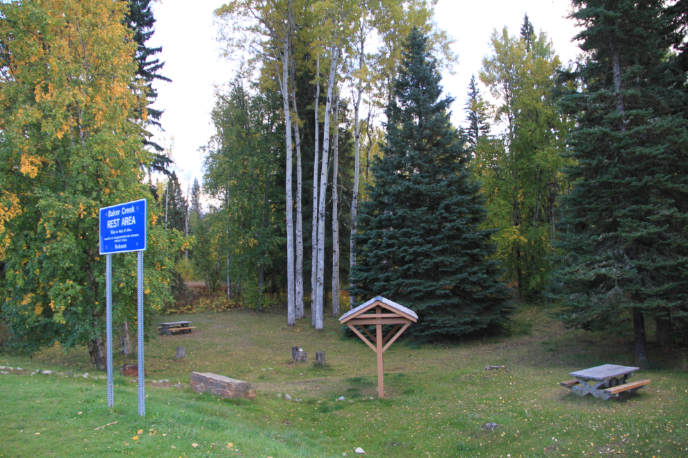
The Baker Creek rest area was a great place for the dogs as well – they enjoyed a run down the forest trail that goes to an unstated destination.
Tuesday, September 14th started off cloudy as expected. It hadn’t been either a very quiet or very restful night, with semis going by on the highway and through the rest area, the semi that was parked behind me running a lot to stay warm, and an Amber Alert very much on my mind. A van stopped at the rest area just after I got up, while it was still quite dark, and I had studied it to see if it could be the suspect van with a new paint job. The Amber Alert came to a heartbreaking end later that day.
Generally, RV mornings are wonderful for us. When I get out of bed, all the kids come out to stay close to me. Once Cathy arrives, I’ll be out here by myself in the mornings, or maybe just with the cat 🙂
We were on the road just after 08:00 – this was certainly not the weather I wanted heading into the Rockies! When the fog broke, I could see clear skies to the west that appeared to be coming my way, so decided to drive down Highway 5 to kill some time as well as checking out the area.
I turned around at Valemount, a community that I hadn’t been to in many years. I was tempted to go for a walk down to the salmon spawning channels behind the visitor centre, but getting to Hinton early was really my focus.
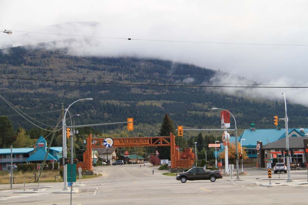
As I neared the junction with Highway 16 again, the blue skies were arriving as I’d hoped – fingers crossed that the clearing continued as we drove towards Jasper.
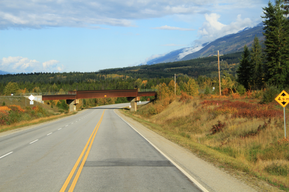
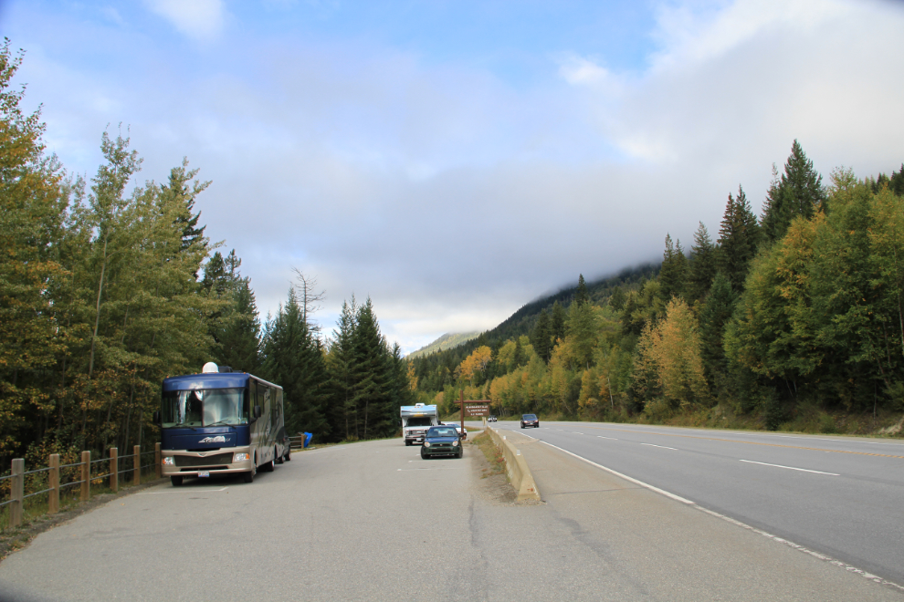
We had one more stop that I’d been planning on for a couple of days, at Rearguard Falls Provincial Park. Although it was okay when we arrived just after 09:30, it was a safe bet that this parking lot was far too small for summer, or even later in a shoulder-season day, with only 2 spots for buses and/or RVs, and a dozen or so for cars.
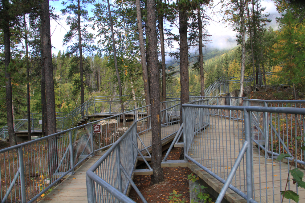
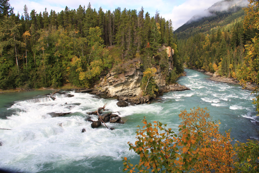
A short walk down from the parking lot takes visitors down to the falls, above which these steel walkways make getting across the boulders to viewing areas safe and easy.
The falls, though not large, are quite stunning. Until a couple of weeks ago, we might have seen spawning salmon jumping the falls.
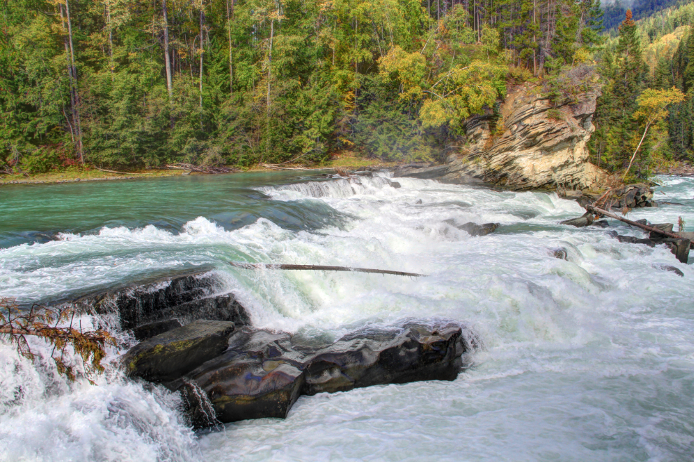
A closer look at the falls. There were few people there, and most of those were Germans who were clearly not fans of big dogs. I did get into a long and pleasant discussion with a couple of American men about travelling and the Rockies and dogs, though. Having seen the layout at Rearguard now, I’d certainly leave the dogs in the RV if I come again.
The most spectacular location along this route is certainly Mount Robson – at 3,954 meters (12,972 feet) high, it’s the highest mountain in the Canadian Rockies, and getting a view of it was the main reason for my dawdling, waiting for blue sky. If you get lucky, the first view of the mountain is both sudden and dramatic as you round the corner where the Mount Terry Fox rest area is located.
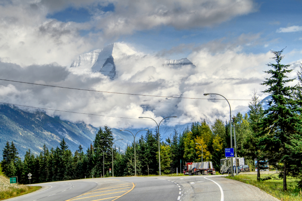
The very large Mount Terry Fox rest area is definitely worth a stop.
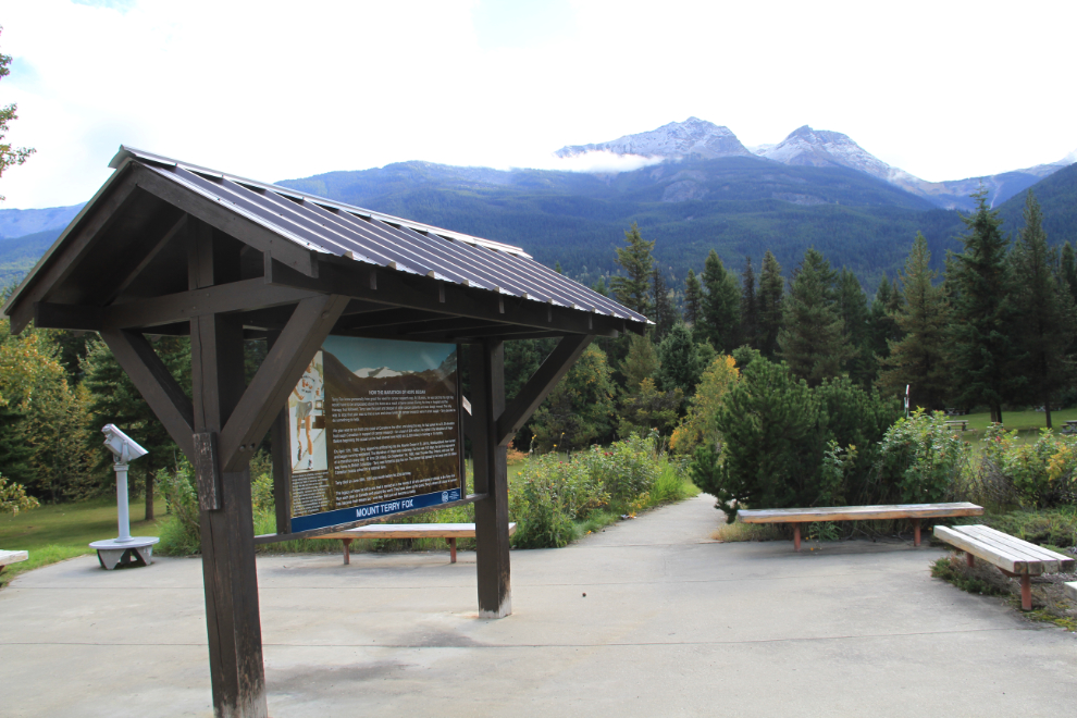
As quickly as it had appeared, Mount Robson disappeared into the clouds again.
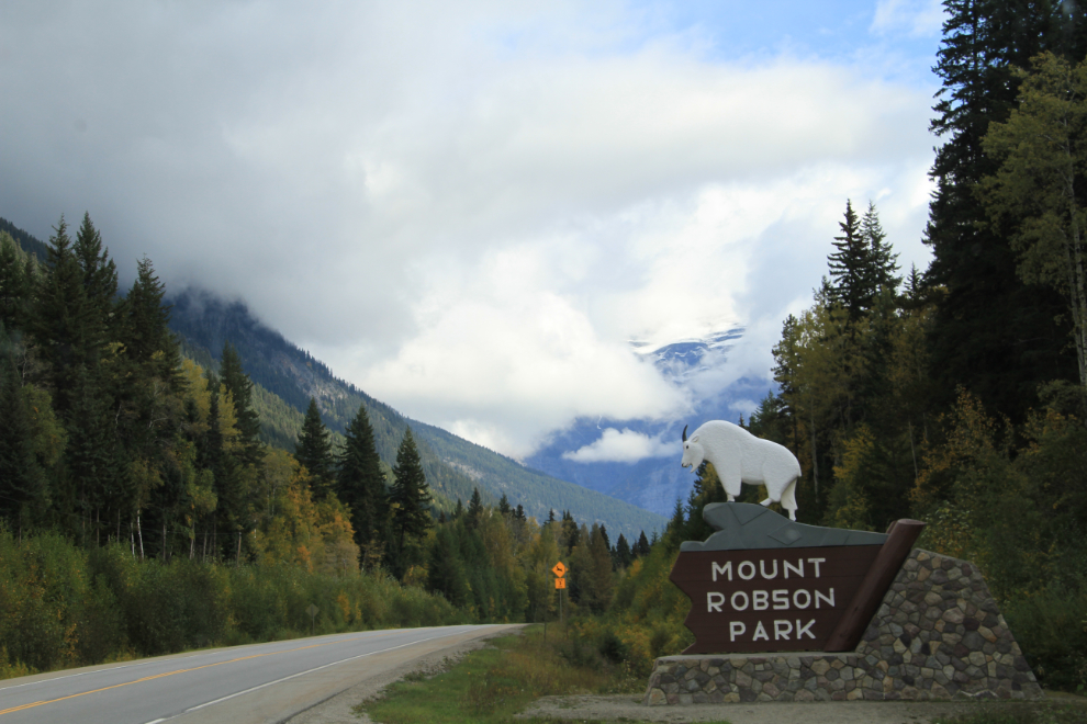
As I passed the main Mount Robson Provincial Park viewing area, I could just see the summit peeking out of the clouds. The park was very busy with buses and RVs so I just took this shot from the side of the highway and continued on my way. In March 2014, I’d seen the mountain at its finest on a crystal-clear morning, and spent quite a while there.
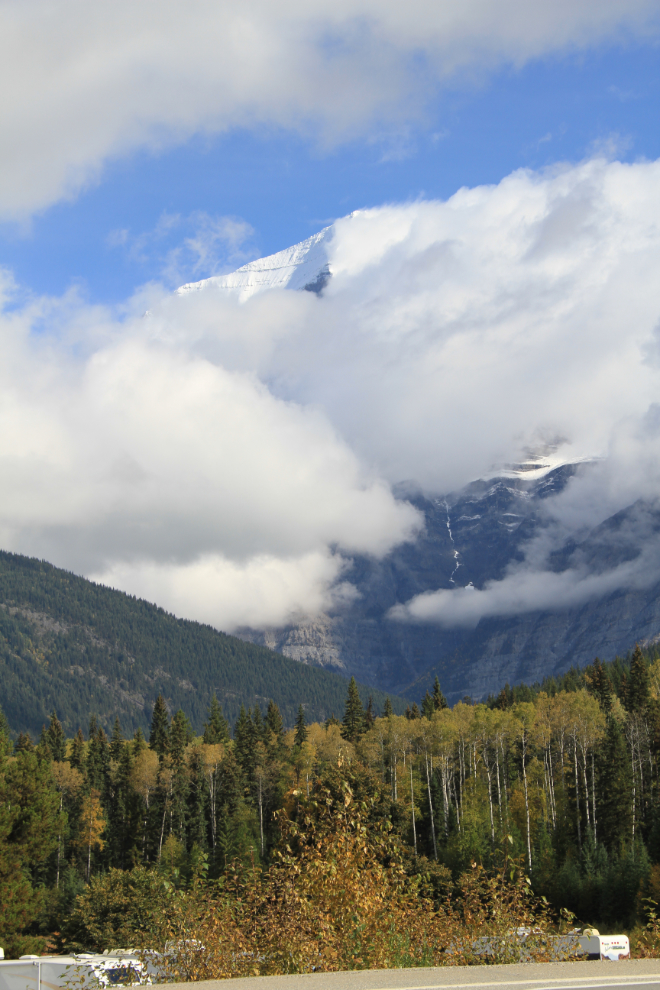
The view ahead, along Moose Lake.
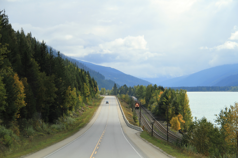
The Fall colours and fresh snow would make this a slow trip for a photographer on a beautiful day!
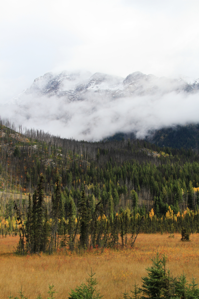
One van going 15-25 kmh under the speed limit and refusing to pull over even though there was lots of room to do it made it a slow drive to the the Jasper National Park gates. I just said that I was going through to Hinton, and was waved on.
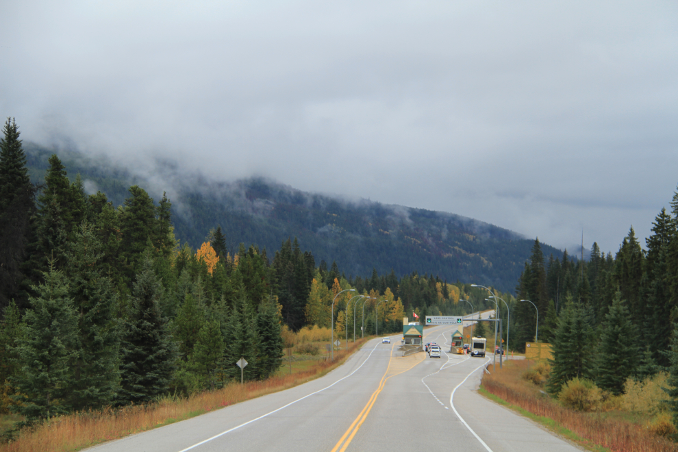
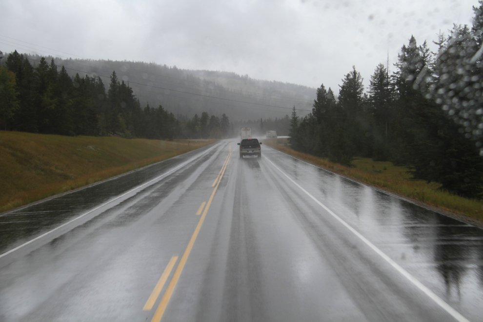
Heavy rain came back and eliminated any more views all the way to Hinton.
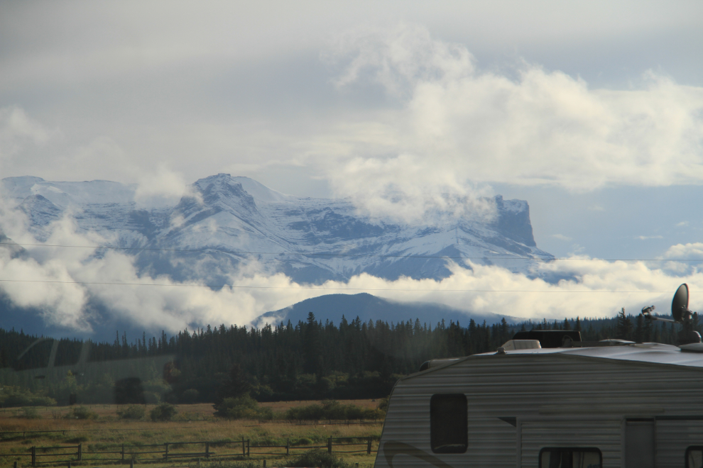
By about 2:00 I had started one of the really important stops of the trip, and was with my son. We picked my grandson up not long after, and when I took the dogs back to the RV for dinner, the weather gods were starting to smile again – this was the view from the rig at 5:40. I’ll tell you more about this beautiful KOA RV park in my next post.
