Musgrave Harbour – the beach and Dr. Frederick Banting
On Saturday, June 20th, Day 23 of our trip and the 16th day in Newfoundland, I did a long walk on the vast sandy beach at Musgrave Harbour, visited the memorial for Dr. Frederick Banting, then visited a couple of other communities on our way to Terra Nova National Park, where we had a 2-night reservation.
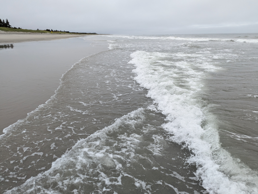
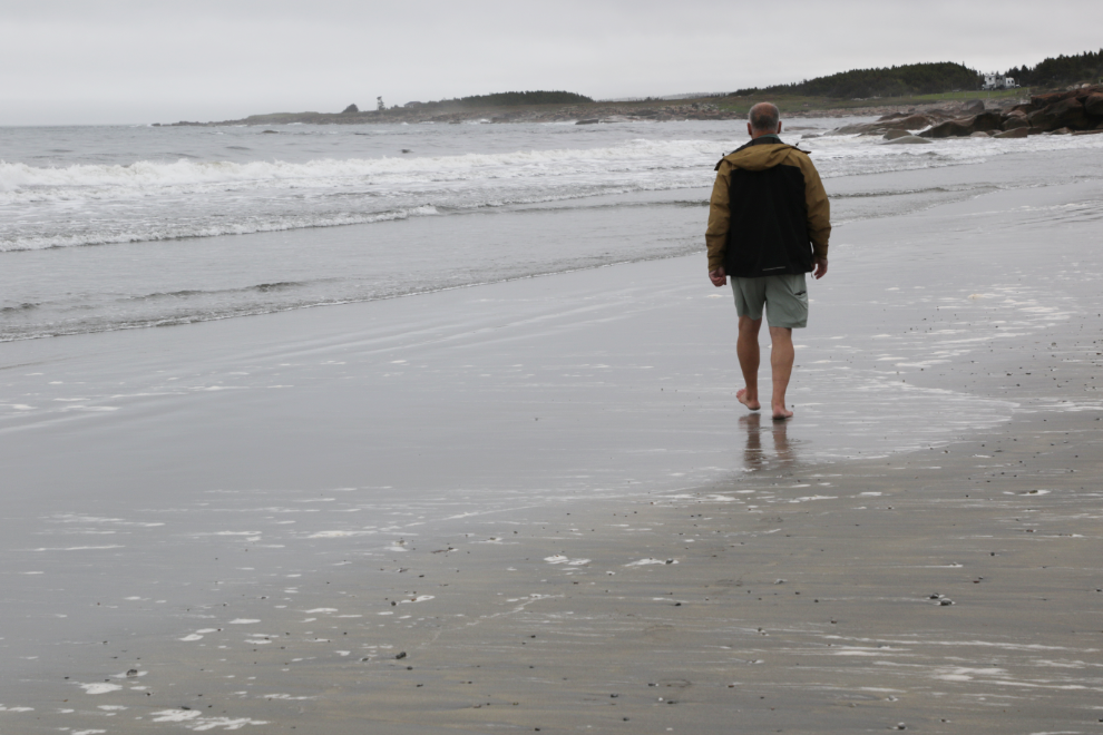
My walk on the beach the previous evening had been short due to a cold drizzle and wind, but it was much better this morning, though still chilly. The water was very cold! 🙂
A video was needed here…
Seeing, hearing, and feeling the surf was a powerful way to start the day. I wonder if I’d get bored doing that every day.
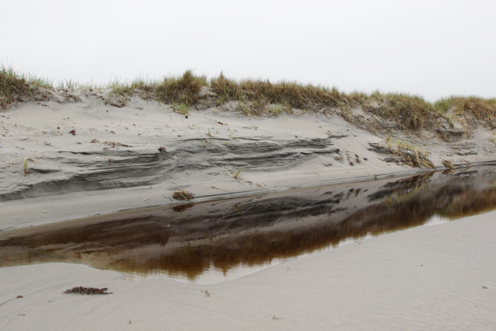
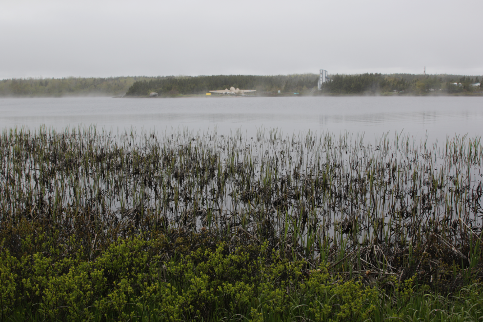
A creek flowing out of a large saltwater pond added some interest.
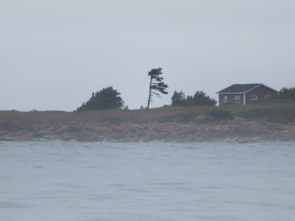
I thought I could make out a lighthouse in the distance, but the zoom showed it to be just storm-gnarled trees.
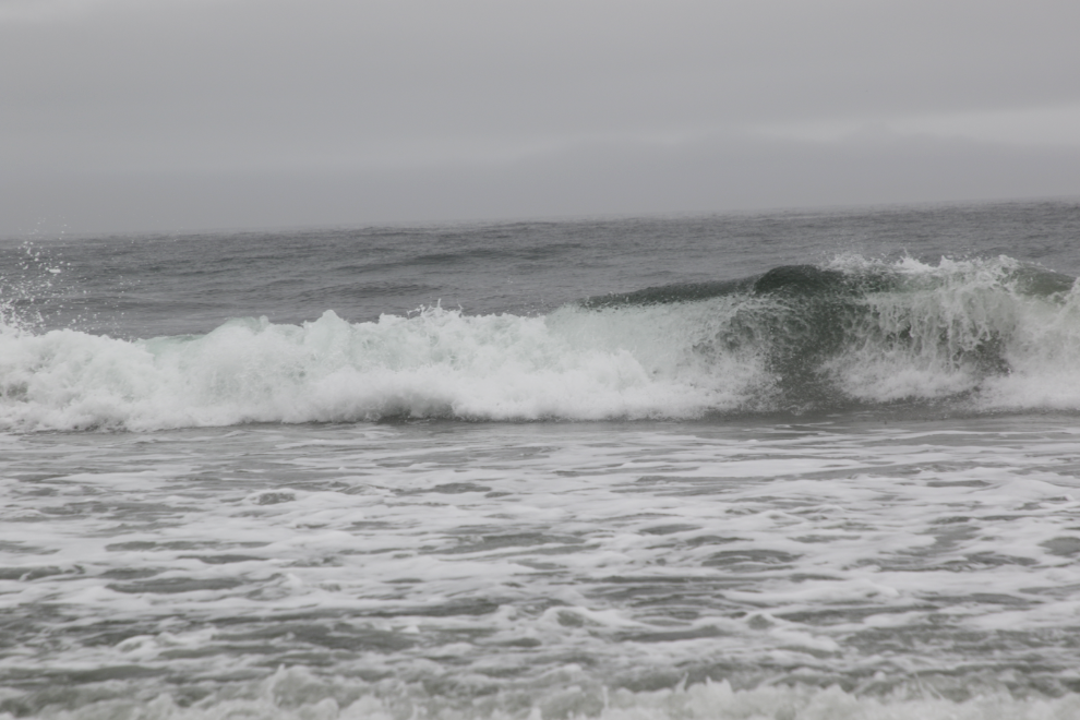
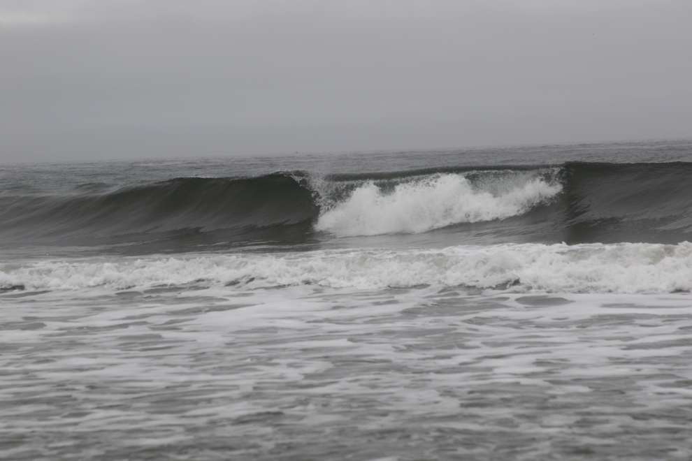
I was loving this and just kept walking, weaving back and forth in and out of the waves, enjoying both the hard-packed sand and the sofft areas…
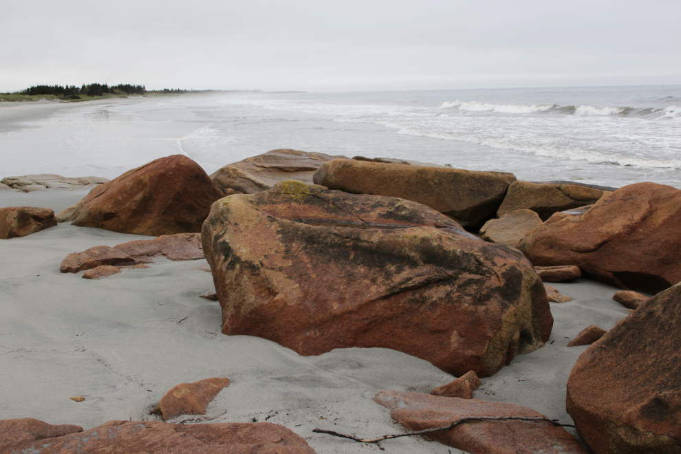
These rocks were where I turned back. I was thoroughly “in the zone” by then, and went skinny-dipping there. It was quite brief, though – when a wave hit my chest I quit! 🙂
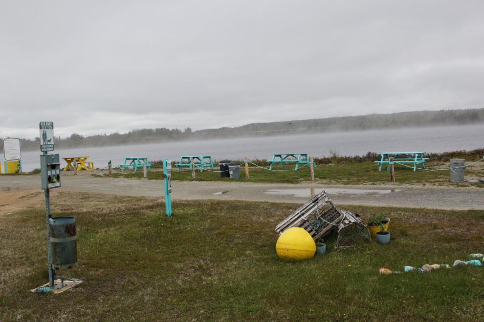
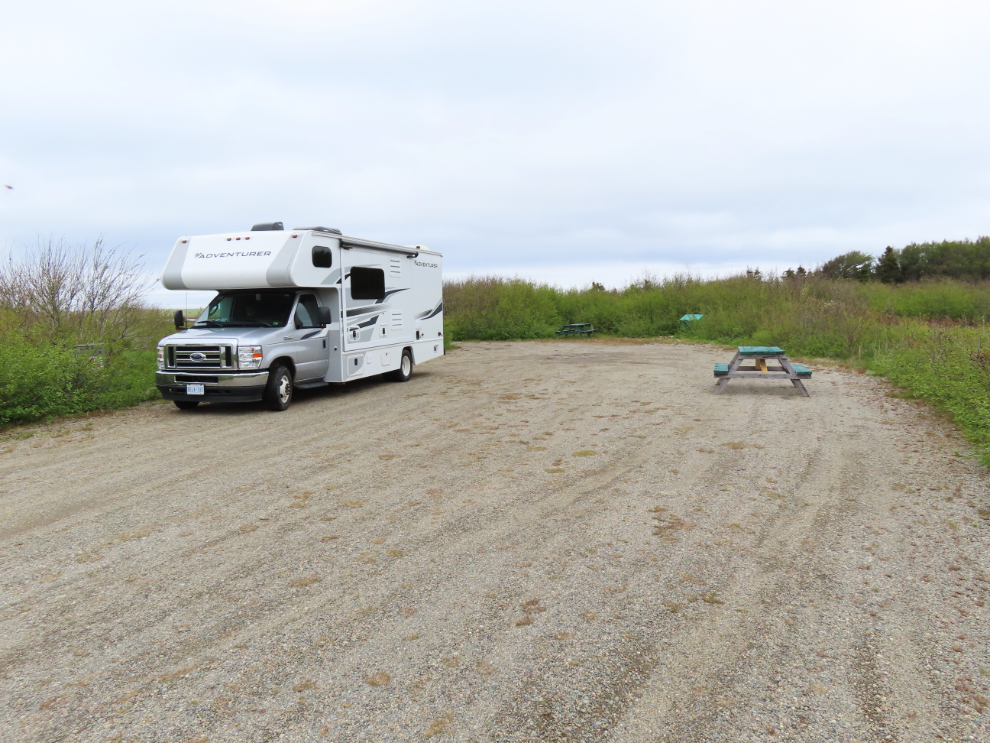
I took a few photos of some of the Banting Memorial Municipal Park campground facilities as we drove away. The only negative to a very nice park is that the bathroom is a long way from the camping sites.
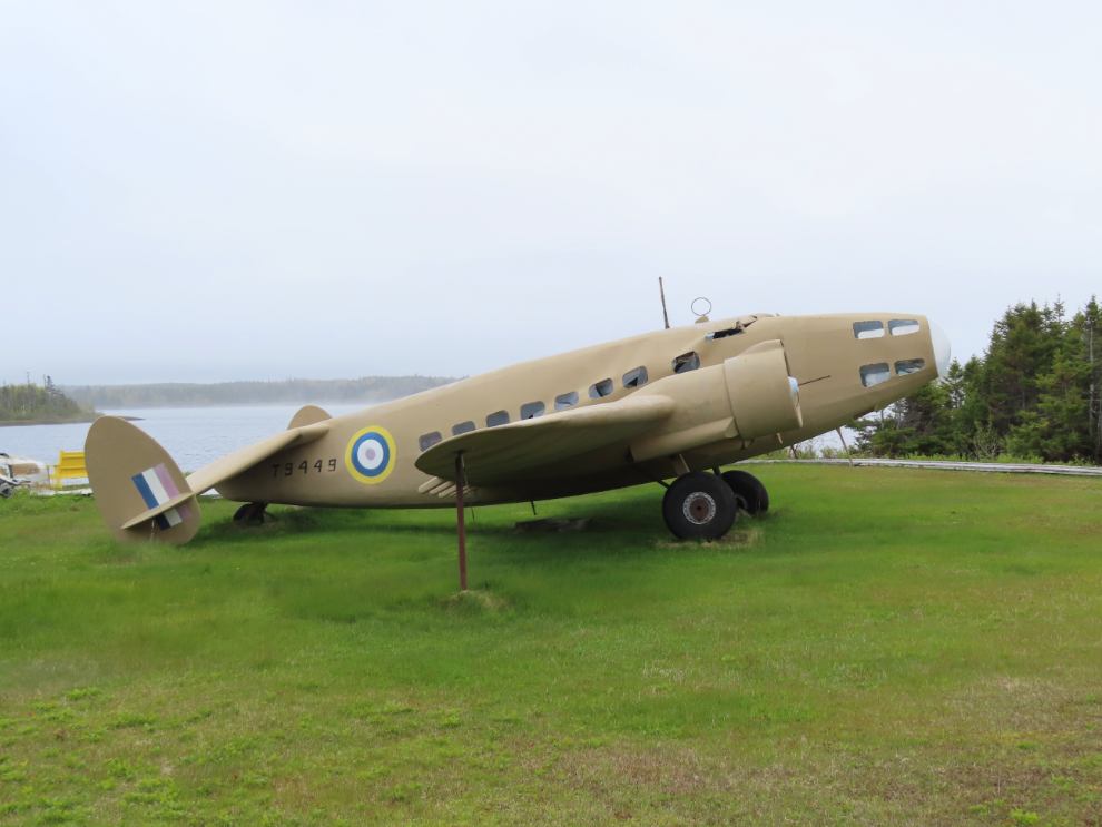
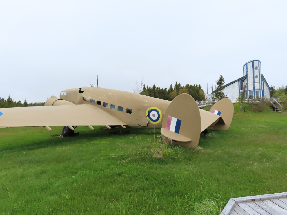
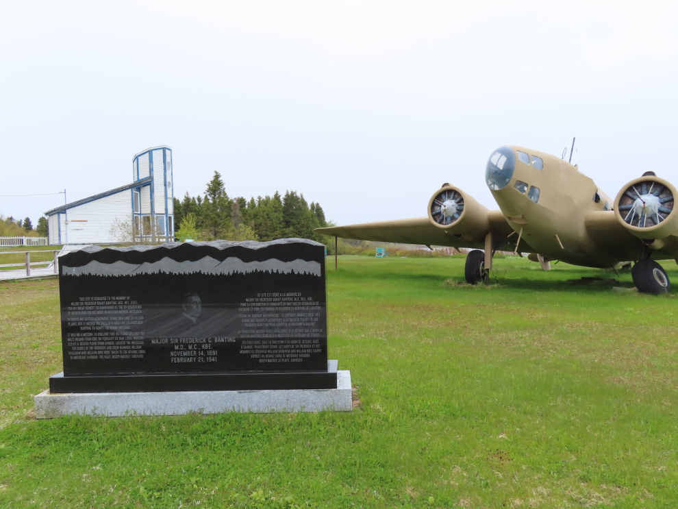
The main place I wanted to see was the Lockheed Hudson bomber across the pond.
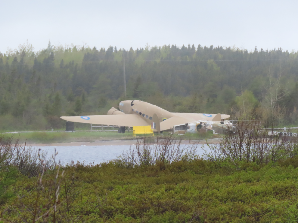
I had done little research into places to see along our route, and this was a complete surprise. On February 20, 1941, Dr. Frederick Banting was a passenger in a Hudson that had crashed 10 miles south of here, and he died of his injuries the next day.
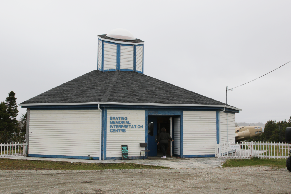
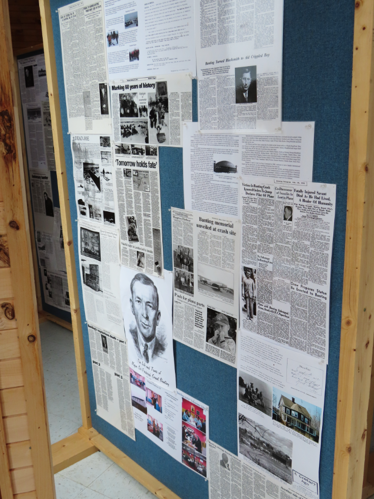
Cathy and I began our visit in the Banting Memorial Interpretation Centre, which was kind of a wreck, half torn apart (long ago), but we got the basics.
Going outside, I quickly realized that the visible aircraft was a reproduction that had been damaged, I expect, by heavy snows.
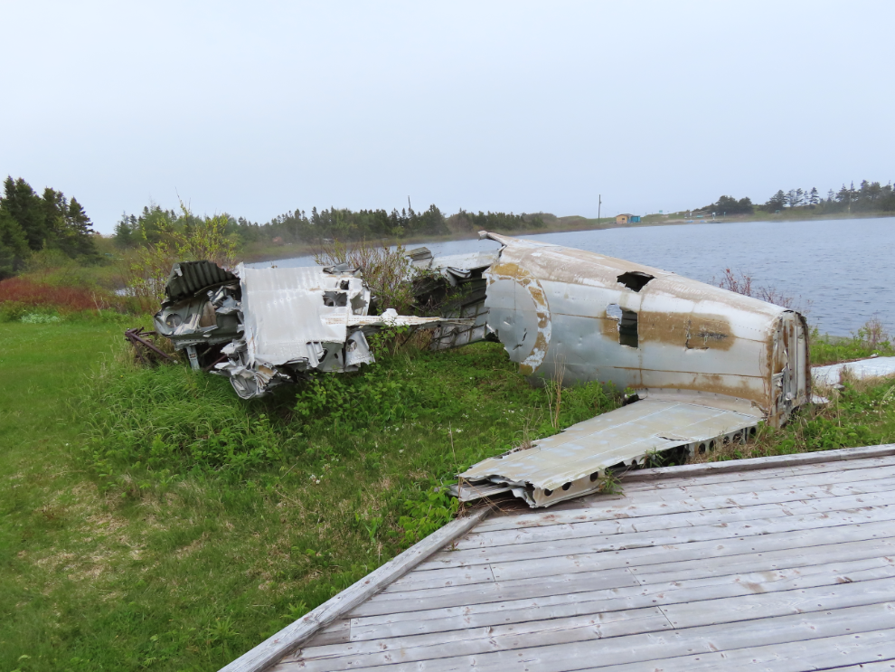
This is the wreckage of the plane that crashed.
A great deal of money was obviously spent building this memorial site, and it’s very sad to see it falling apart. To add to that, a paintings of an airplane with a hole in it that allows you to stick your head in to get a photo of yourself in a plane has been added – I find that to be extremely disrespectful.
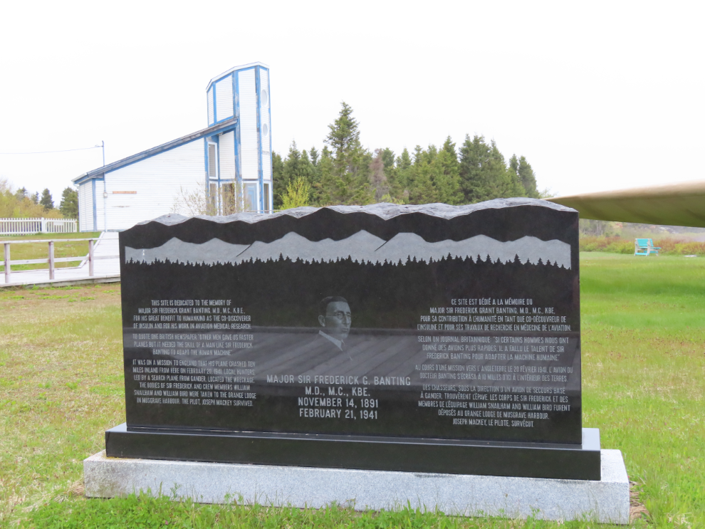
This large monument, luckily, will last pretty much forever:
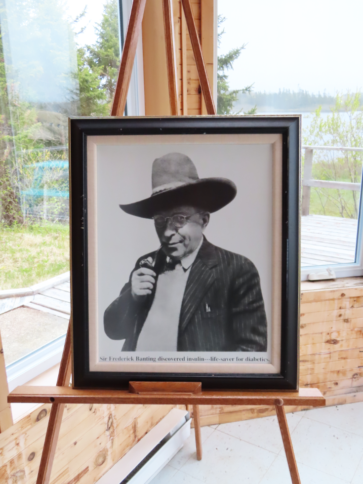
“Major Sir Frederick G. Banting, M.D., M.C., KBE.
November 14, 1891 – February 21, 1941
This site is dedicated tom the memory of Major Sir Frederick Grant Banting, M.D., M.C., K.B.E., for his great benefit to humankind as the co-discovere of insulin and for his work in aviation medical research.
To quote one British newspaper, ‘Other men gave us faster planes but it needed the skill of a man like Sir Frederick Banting to adapt the human machine.’
It was on a mission to England that his plane cashed ten miles inland from here on February 20, 1941. Local hunters, led by a search plane from Gander, located the wreckage.
The bodies of Sir Frederick and crew members William Snailham and William Bird were taken to the Orange Lodge in Musgrave Harbour. The pilot, Jospeh Mackey, survived.”
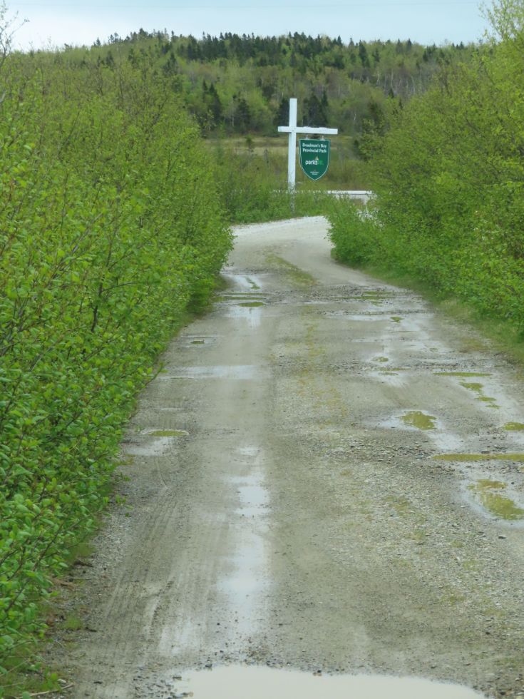
Having learned a lot and paid my respects, we headed south on Highway 330. In a few minutes we came to Deadman’s Bay Provincial Park and decided to have a look. The sketchy road in should have been a clue. This is where the road ended.
This trail led toward the beach – we didn’t bother.
The sketchy road back to the highway.
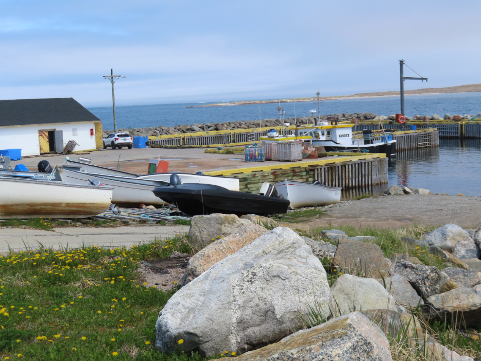
We took some detours off the highway. Cape Freels is just far enough off the highway to get few visitors. As I was exploring on foot, a very friendly local fellow came over to chat and see wat in hell I was doing. He agreed with me that communities like his are what real Newfoundland is about.
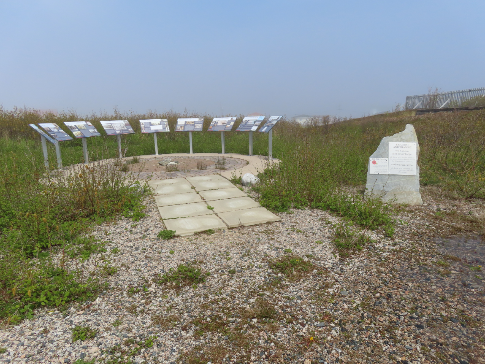
Newtown might have been a lengthy stop if not for the fog that rolled in. There are many excellent interpretive panels around town including this large collection of them, and several parking spots for visitors to park and walk from.
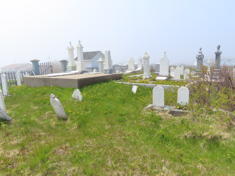
We spent a while in the cemetery.
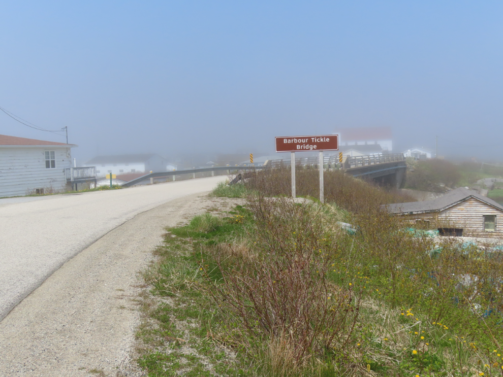
While the bridge may not be particularly photogenic, the name sign is – “Barbour Tickle Bridge.” A tickle is a body of water separating two other bodies of water – a channel.
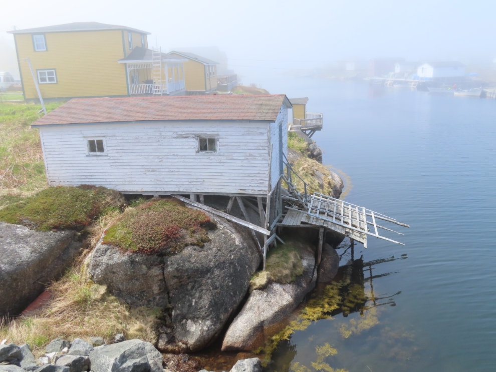
One final photo of Newtown. Who knows – perhaps some day we’ll get another chance.
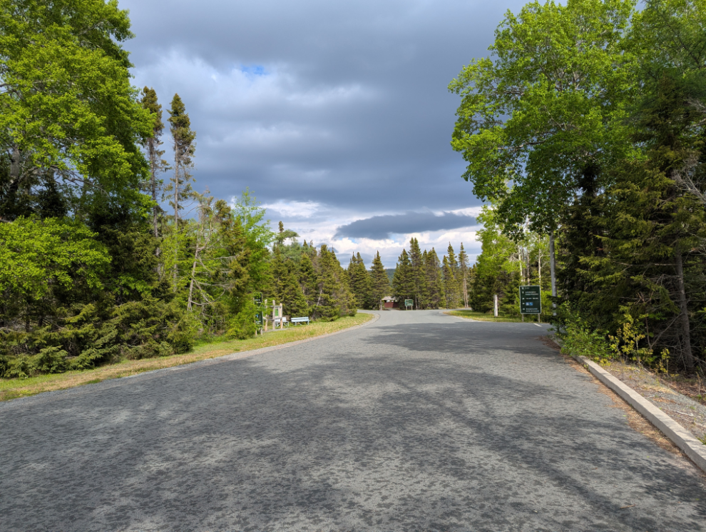
We were soon at Terra Nova National Park, got set up at Site 256 in the Newman Sound Campground, and I went for a walk…
Terra Nova is all about hiking, and I planned to make the most of that during our stay…