Hinton to Whitehorse in 46 hours
I knew that I wouldn’t have much time in Hinton, but for a few reasons, it was even shorter than I’d expected. I went out for breakfast with the kids and at 09:30 was on the road.
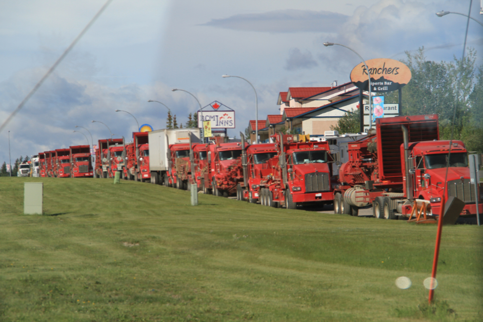
In Hinton, you can smell the economy (the pulp mill – “the smell of money”), and you can see it, with oil/gas field equipment clogging some of the roads, like this lineup in front of several motels and the gas station where I loaded up the tank of the motorhome.
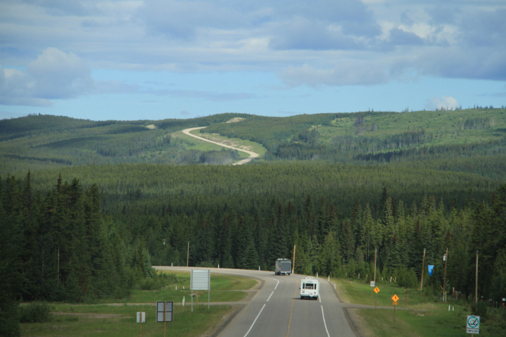
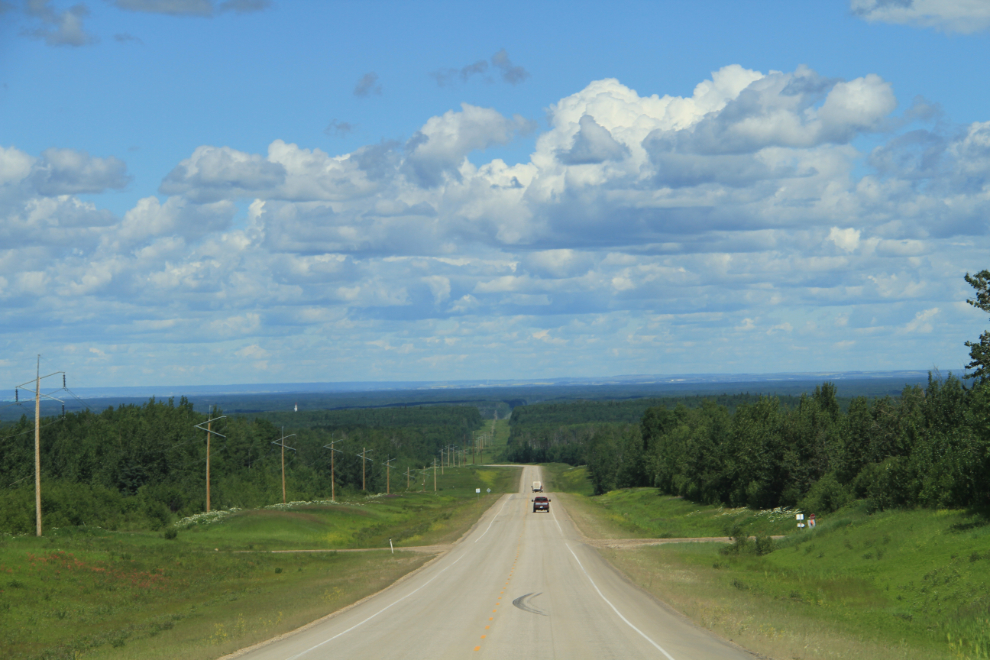
Alberta Highway 40 is the scenic route north as long as your rig has enough power to deal with a lot of hills. The only things that I don’t like about 40 is that there are no shoulders along most of it (this photo shows one of the few stretches that does), and very few pullouts (a.k.a photo stops).
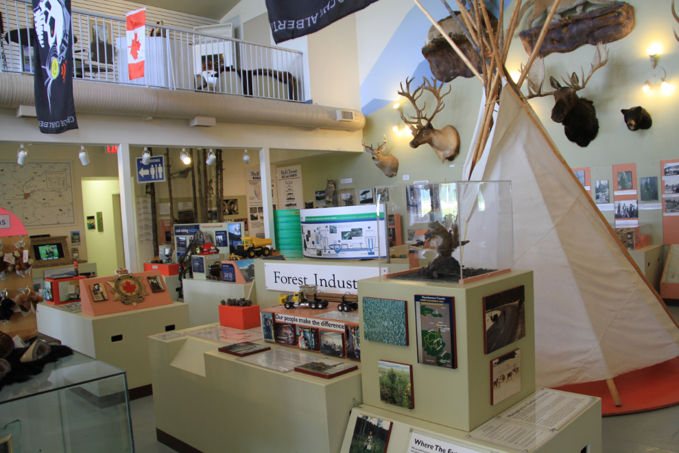
I had to pass quickly through Grande Cache this time, but I had a good look around 4 months ago – see Exploring to and around Grande Cache. I did make a short stop at the excellent Visitor Centre, though.
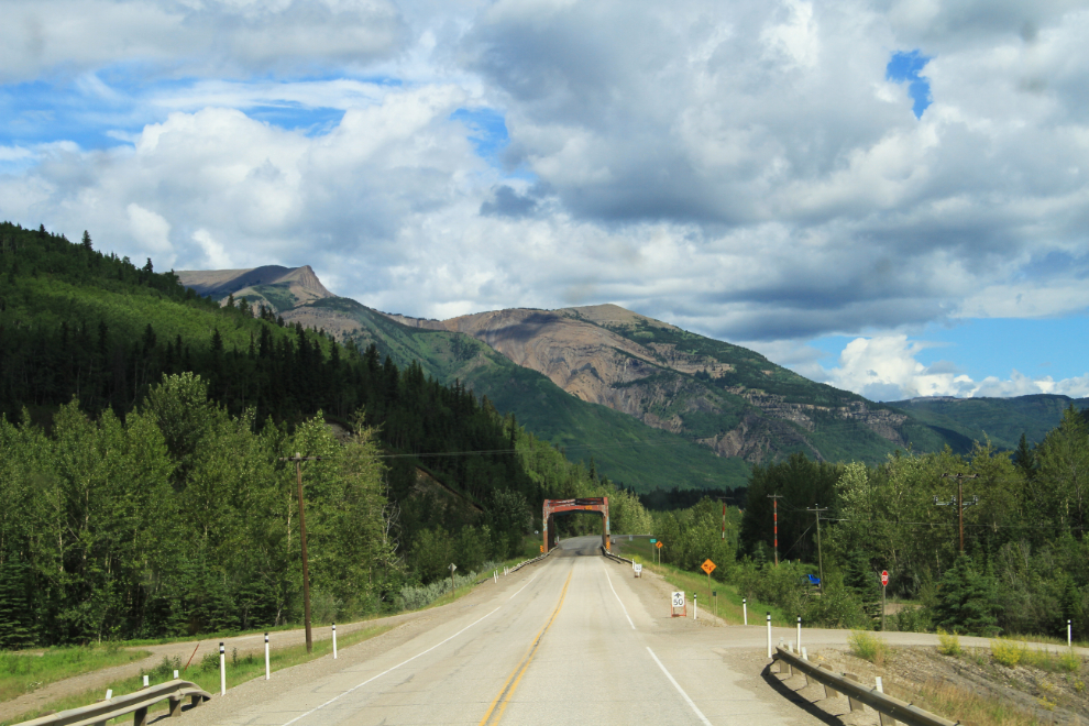
Crossing the Smoky River just north of Grande Cache, with the large coal fields just ahead.
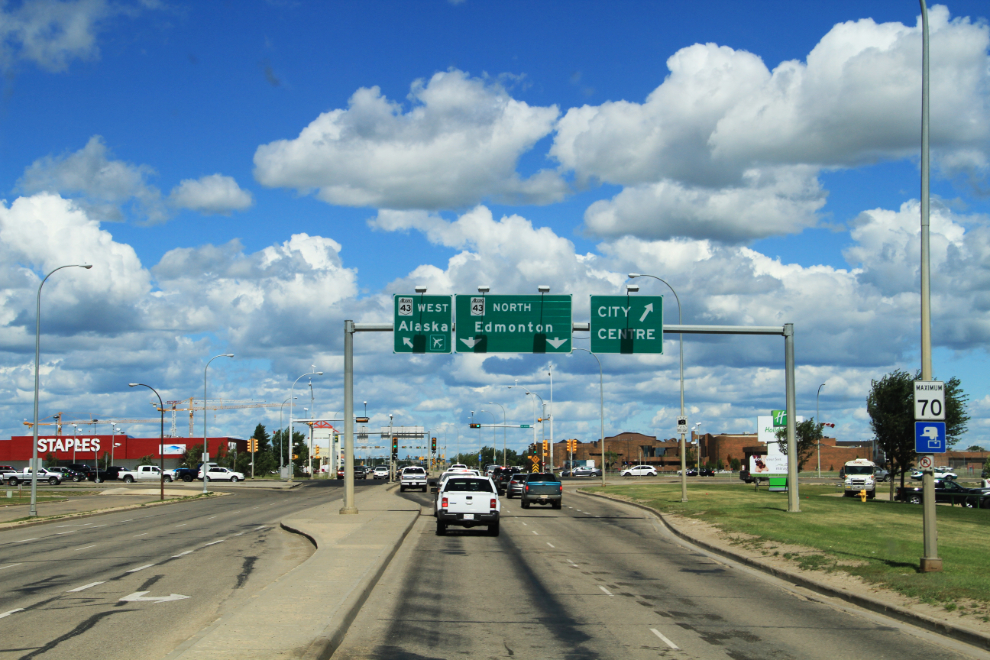
Dropping down to Grande Prairie just after 1:00 pm.
Grande Prairie – turn left for Home! The motorhome I was driving has a range of over 800 km on a tank, so efficient fuel stops are really easy to plan – in this case I could get to the last town in Alberta before crossing over to much higher BC gas prices.
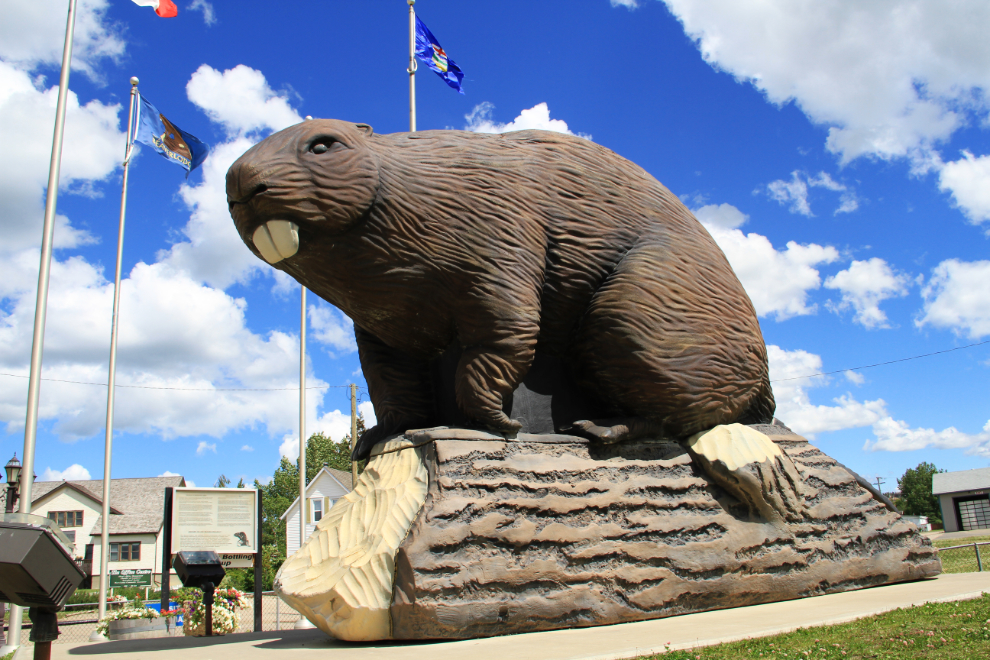
I hadn’t yet gotten photos of the Beaverlodge Beaver in good weather, so I took a few minutes and rectified that 🙂
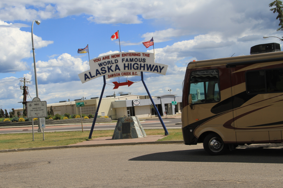
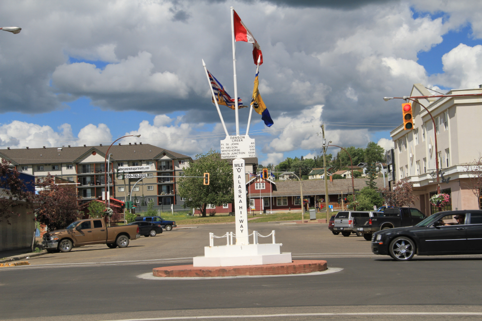
I stopped in Dawson Creek to see a friend at Tourism, but she gets Sundays off. At the same location, this “record shot” of the trip was mandatory.
From the main “Start of the Alaska Highway” signs, I made the short walk to the Mile 0 sign downtown – another place that I don’t have many summer photos of
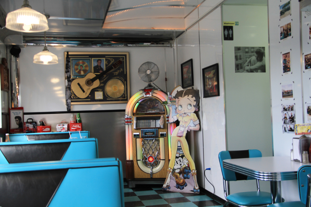
I was long overdue for lunch, so backtracked a half-mile to a 1950s-themed diner I’d seen. Good choice – everything about Stuie’s Diner was top notch, from the decor to the food, service and prices.
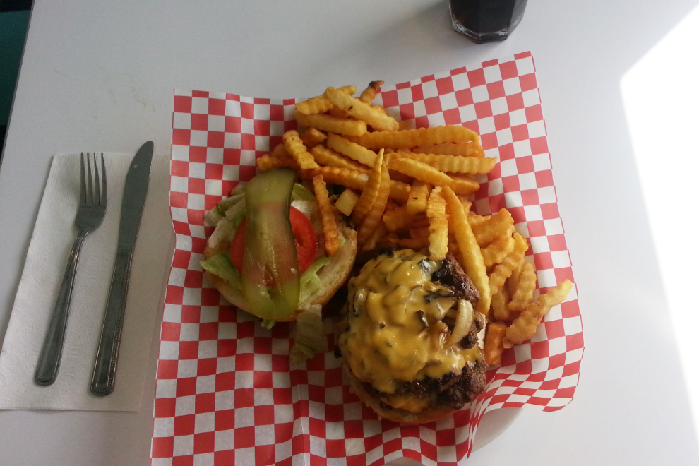
Stuie’s Classic, a loaded double-patty beauty, is a heck of a burger for $12.99 – yuuuuum!
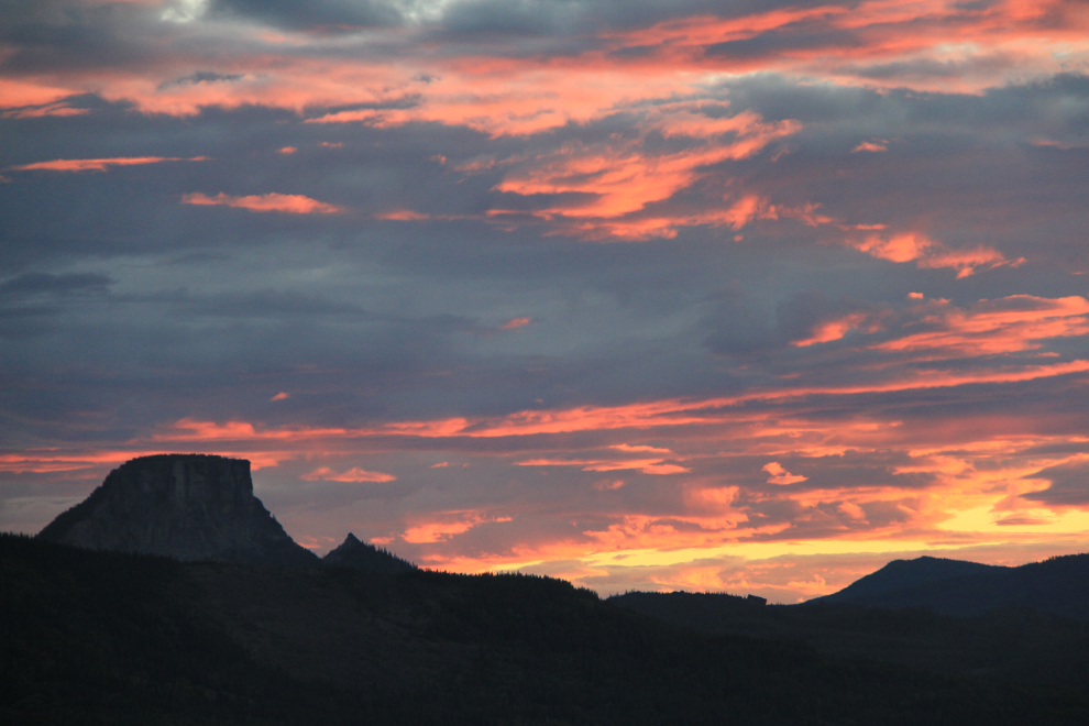
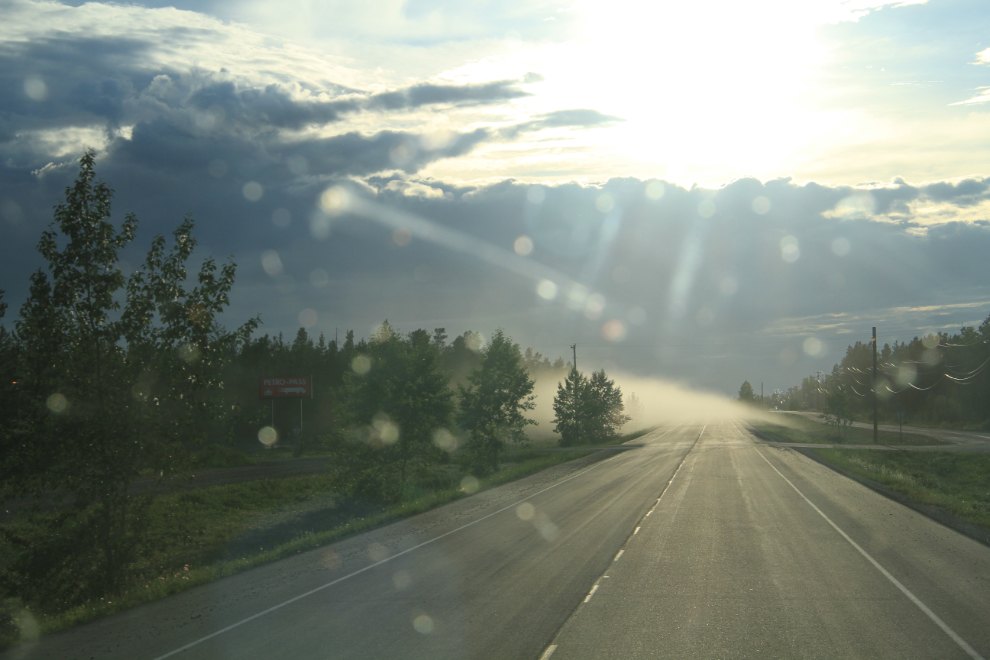
My plan in the morning was to get to Fort Nelson, as the weather forecast appeared to be good for the spectacular Summit Lake / Muncho Lake area and then would start raining. I fueled up in Fort Nelson but then kept going, and this was my reward – this was shot from Steamboat Summit at 10:26, right at sunset.
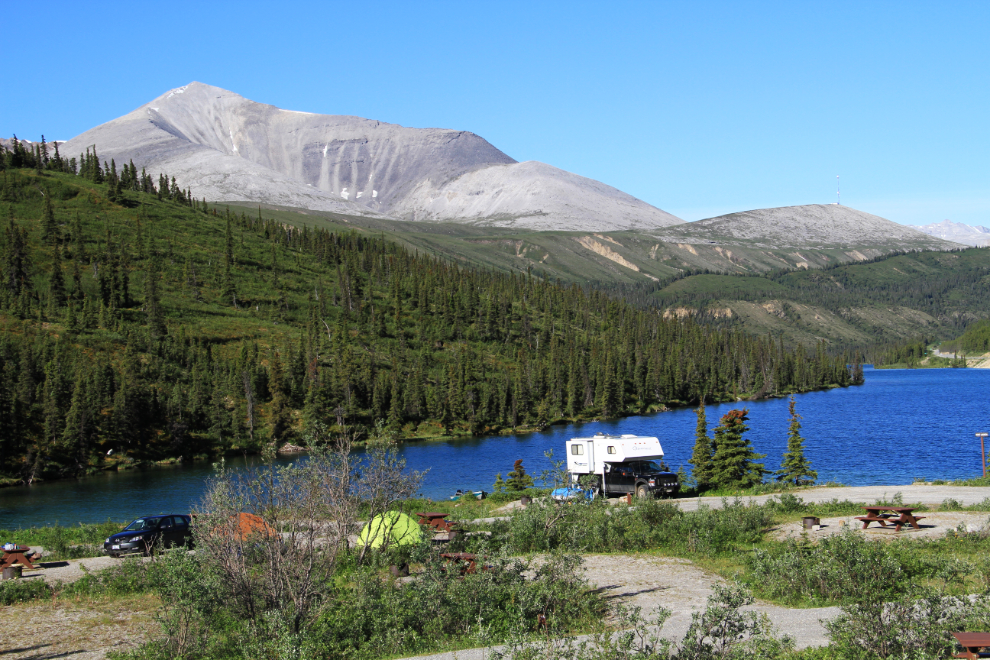
I stopped on the side of the highway and got a great sleep. I’d been watching for a parking spot were I could hear the Tetsa River all night, but didn’t find it. By 08:00 Monday, I was at Summit Lake, extremely pleased to find that the weather forecast had been accurate. Ever since I hit the Alaska Highway I’d been surprised by how quiet it was, and there were only half a dozen camp sites occupied at Summit Lake, one of the prime spots on the Alaska Highway.
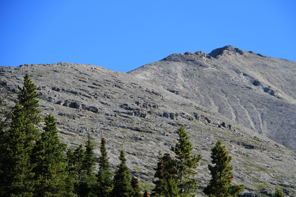
Look up, look waaaay up! I’d been driving by these mountains for 25 years, never able to see the top. Today would change that 🙂
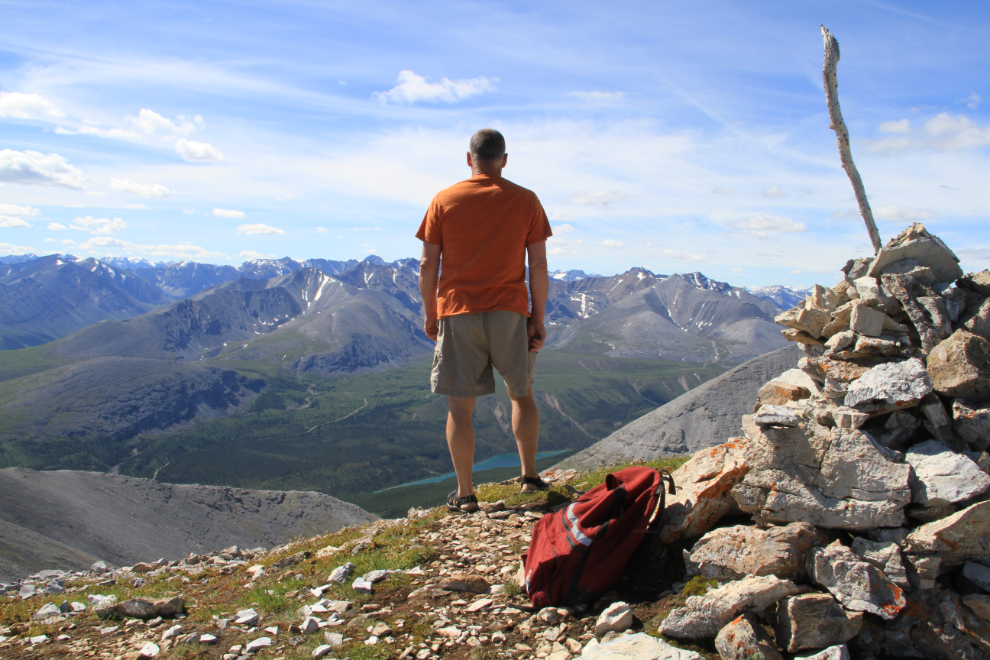
The 2,015-meter (6,611 foot) summit of Summit Peak, a.k.a. Mount Paul E2, 3½ hours later, via the Summit Peak Trail. This was one of the best one-day hikes I’ve ever done, and I did a separate post about it, as I shot 190 photos in the 5½ hours it took!
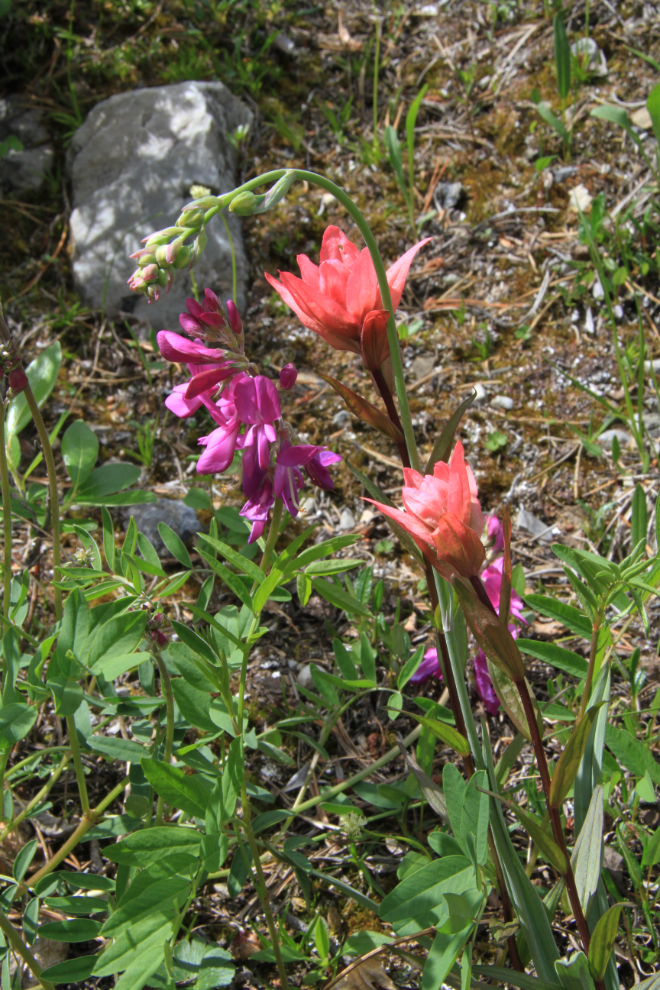
The flowers were great at the start of the trail, too. The 2 on the right are Mountain Indian Paintbrush (Castilleja parviflora).
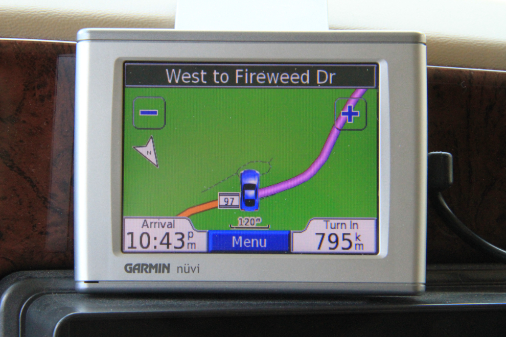
From Summit Lake, GPS directions to get home are pretty basic – drive 795 km and turn left into the Mary lake subdivision where our home is.
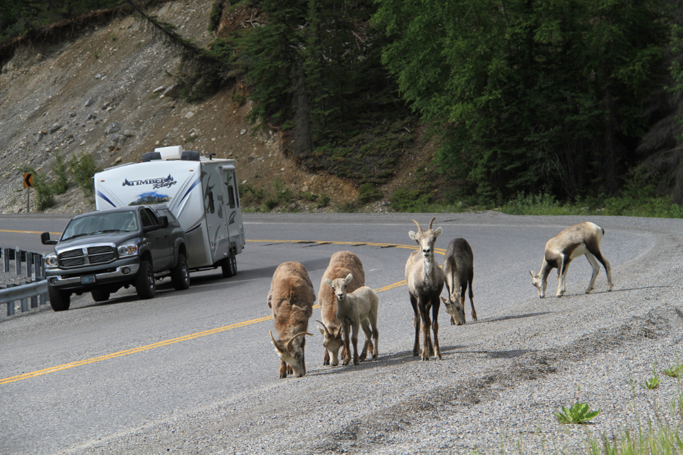
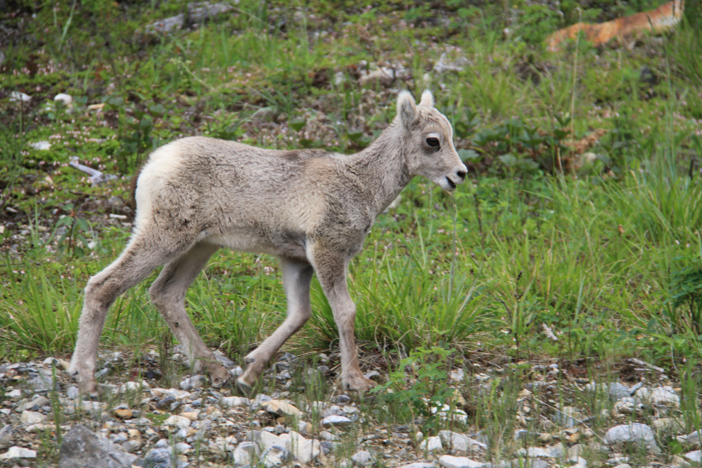
Stone sheep at the west end of Muncho Lake – they all calmly walked by me, about 15 feet away.
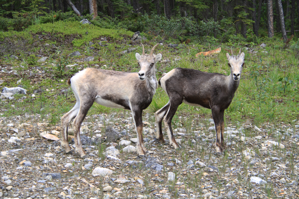
The colour differences in Stone sheep can be quite dramatic, even in what appears to be siblings.
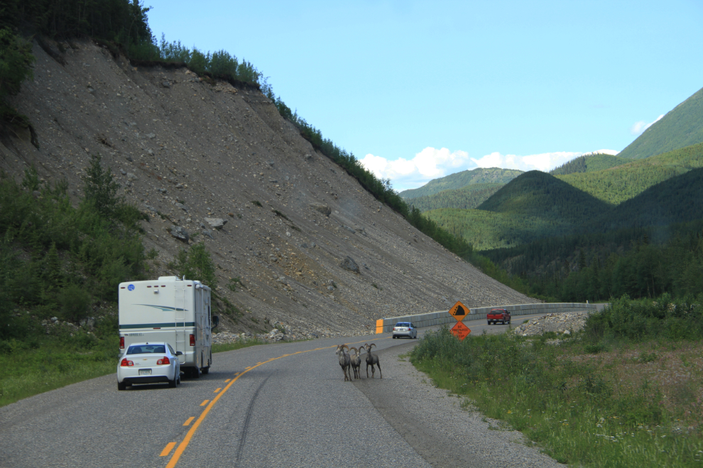
Stone sheep rams about half an hour further west.
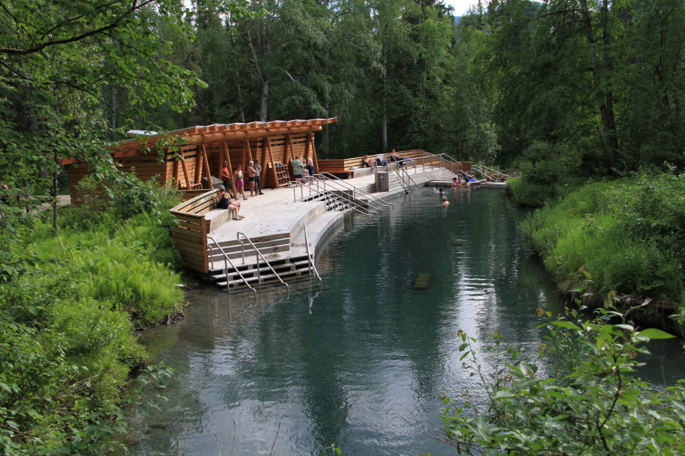
A stop at Liard Hot Springs is a must, and I was happy to pay the $5 day use fee even though I wasn’t sure whether I’d go for a dip or just take pictures. I did go in, but only for a few minutes – hot water on a warm day didn’t really work for me. It’s much nicer in the winter.
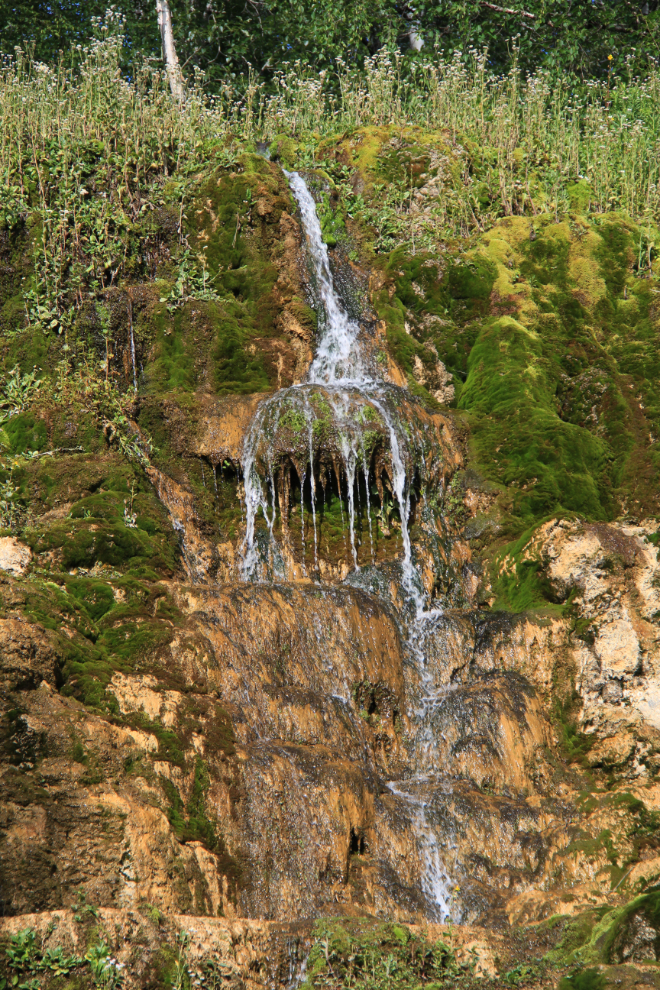
The Hanging Gardens were the feature I really wanted to photograph, as I hadn’t seen them in the summer in many years. They were a huge disappointment – vegetation now covers the tufa terraces that used to make it a wonderful feature.
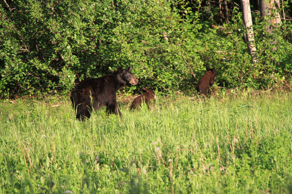
I’ve never seen so much wildlife along the highway except in mid-winter. Not huge numbers of animals, but great variety. There were Stone sheep, bison, porcupines, moose, deer, and bears – 2 grizzlies and a LOT of black bears! I didn’t stop for many, but backed up a long way to spend a couple of minutes with this momma with her babies.
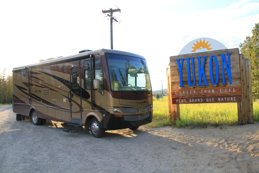
I reached the “Welcome to the Yukon” sign at Watson Lake at 9:00 pm as I’d hoped, for another record shot.
A vehicle of some sort going down the gravel access road beside the highway through Watson Lake left quite a dust trail. I drove another half an hour and then stopped for a nap at the rest area near the Stewart-Cassiar Highway junction.
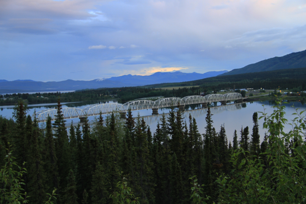
I didn’t sleep particularly well, and was soon back on the road, reaching Teslin just before 05:00 Tuesday.
Less than 2 hours after leaving Teslin, I was back with Cathy and the fur-kids, well before she had to leave for work. She left for Vancouver the following morning (that was the primary thing that made this such a rush trip). I got the motorhome cleaned up, and my friends were very pleased to have it in their driveway well before they expected to. Now, Cathy and I need to get one instead of just shopping for one week and after, month after month – what a great way to travel!