Hiking in the White Pass: Summit Creek Hill
My only big hike of our 4-day White Pass staycation – climbing Summit Creek Hill – started off as a short walk to photograph flowers, but the mountain kept calling my name 🙂
Just after 2:00 pm on Friday, I decided to go for a walk in a lush little valley directly west of the South Klondike Highway beside our camping spot. Almost hidden behind a low granite ridge, it’s barely visible from the road, but is quite unique compared to the rest of the White Pass. The skies looked like the weather could go sour at any time, but it was warm, perhaps 20°C/68°F, though when the sun peeked out every now and then it was very warm.
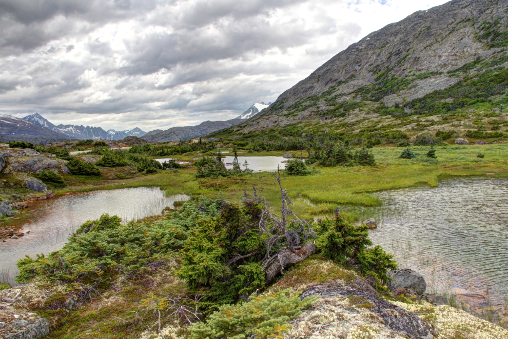
There’s lots of water in the little valley – ponds and slow-moving creeks – and the soil is quite thick so the vegetation, though low, is thick, with lots of variety.
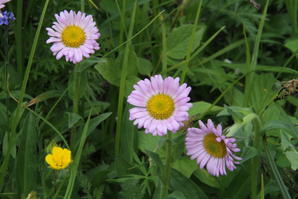
I’ve been looking at Summit Creek Hill for 26 years now, and decided to see how a route up it might start – even YukonHiking doesn’t list a summer route. The summit of Summit Creek Hill is 1,320 meters high (4,331 feet), and the spot I camped at is about 910 meters (2,986 feet), so it’s a good climb. A ridge on the north side looked reasonable, and it was fairly easy to get through the willows, alders and various evergreens and up a rock slide to the area of mostly bare granite, which I’m a particularly big fan of. I wear Keen sport sandals on all but the most extreme of trails, and love them, for comfort and for their grip on pretty much any surface.
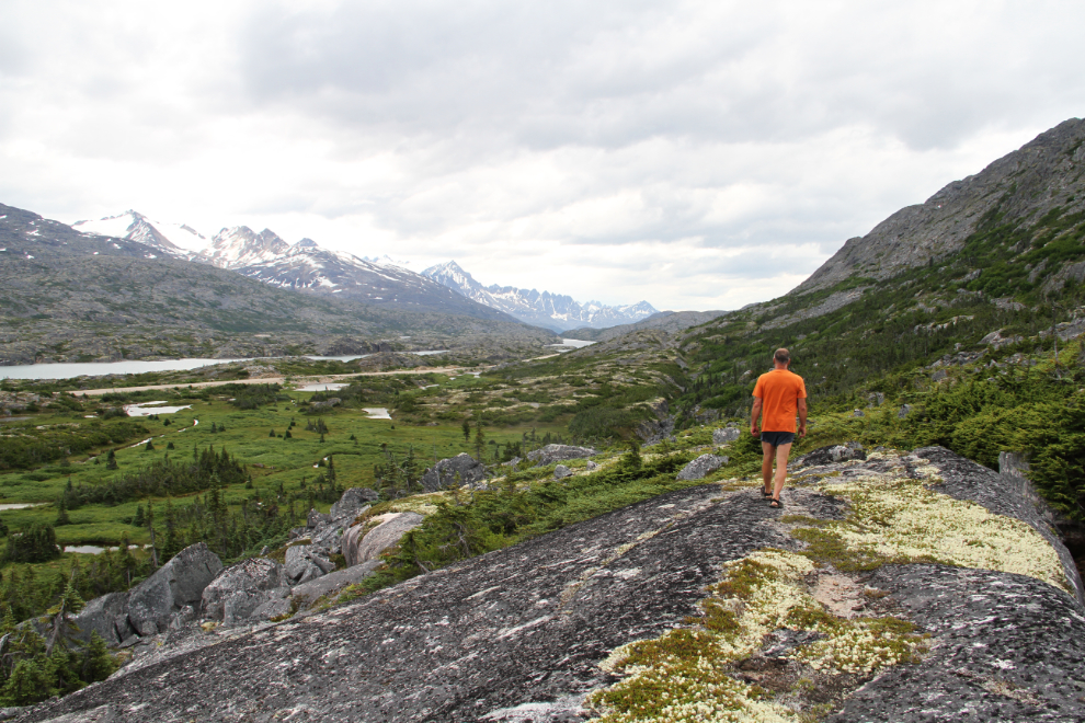
Incredible. What a place to be able to get to so easily. Deep mosses and heathers between the bare granite made extremely nice walking – it would have been great barefoot if not for the fact that the reindeer moss over much of it was really crunchy.
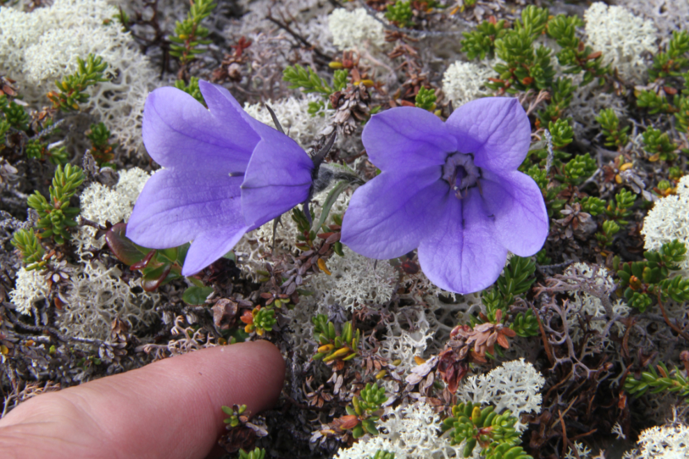
One of my favourites alpine flowers is the Alpine Harebell (Campanula uniflora), and these two were particularly large for the species.
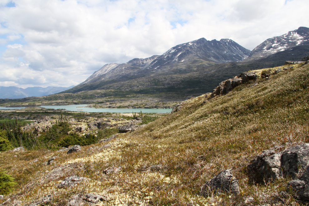
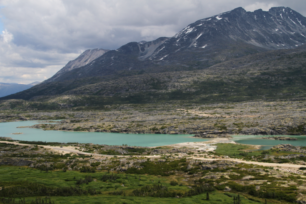
By 3:00 pm, I had a good view of the mouth of Summit Creek and the beach that we play on.
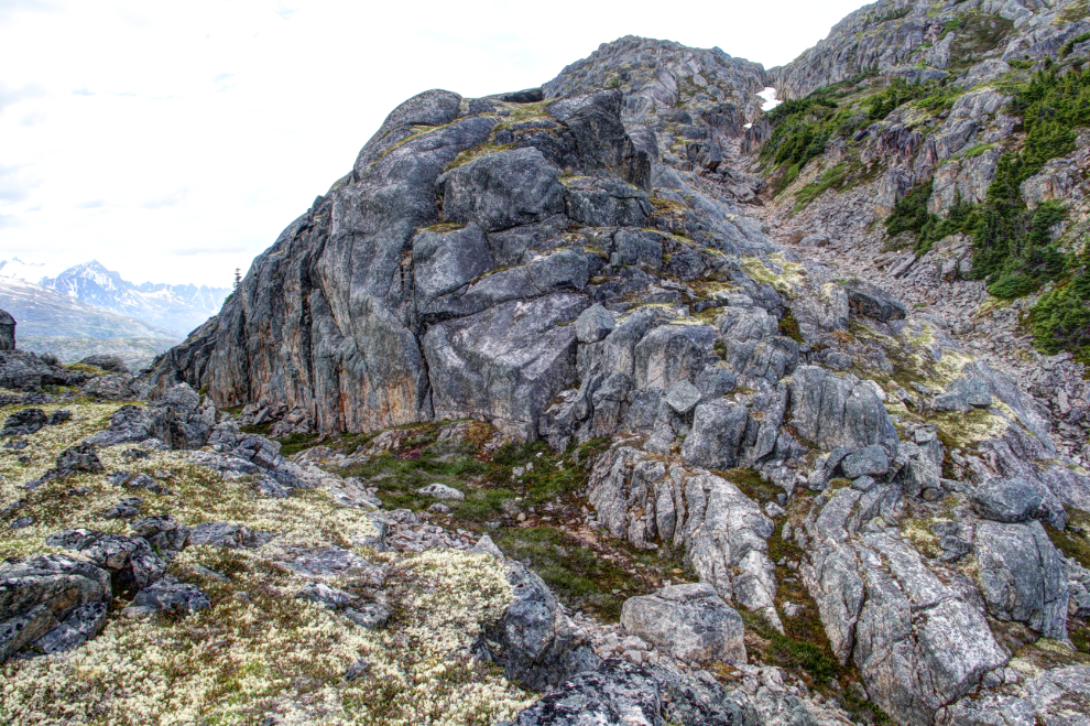
A few minutes later, though, route-finding got somewhat more difficult, with lots of cliffs and dead-end ledges. Does this look like a “hill” to you? It sure looked and felt like a mountain to me! 🙂
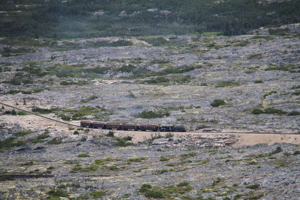
It was great seeing the White Pass & Yukon Route’s steam train excursion from up there. I need to ride it again some day soon, though 🙂
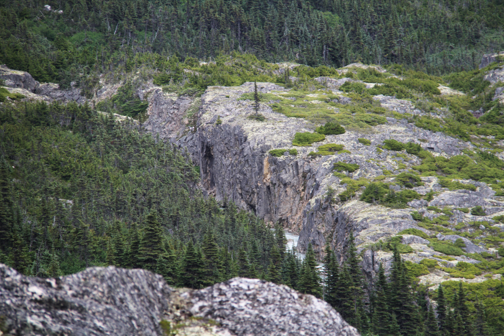
Summit Creek has some great canyons visible from the hill. So much to hike, so little time…
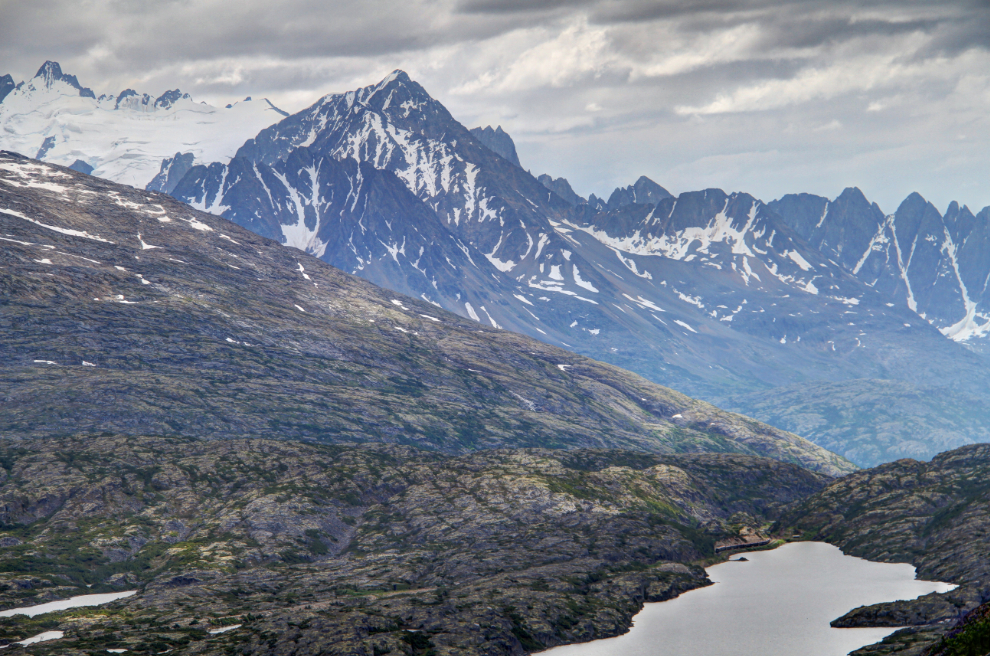
The view to the head of Summit Lake, with a WP&YR train at the switching area there, right on the US/Canada border. The Sawtooth Range of mountains is beyond to the right.
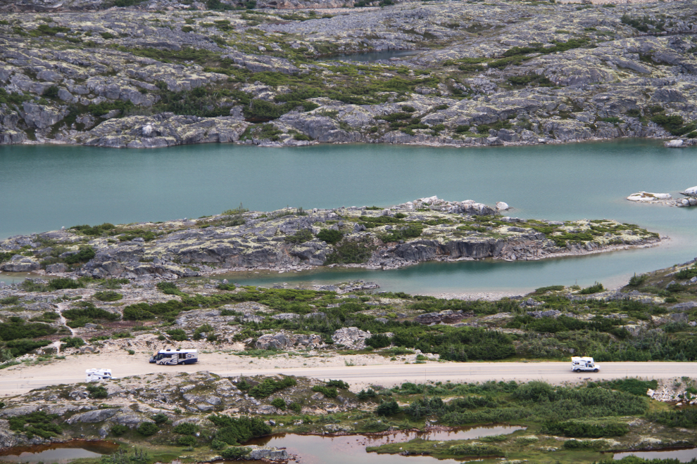
Looking down on my campsite.
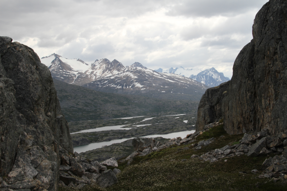
The higher you go, the more extreme the granite gets. But OMG the views!
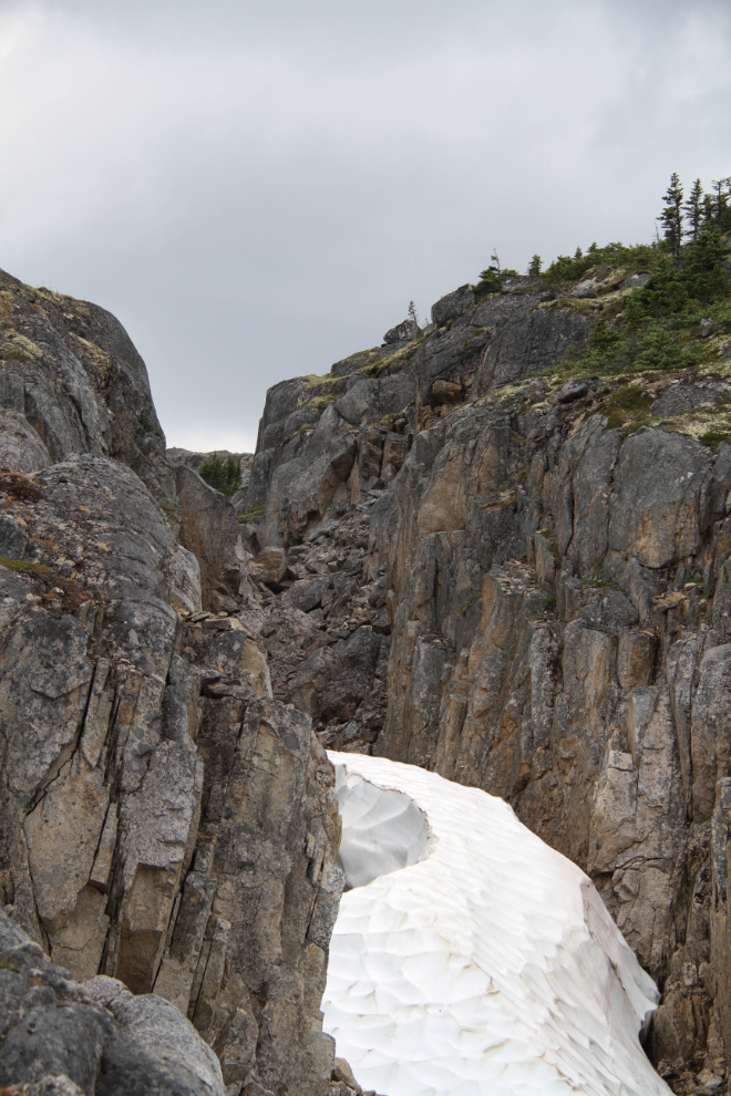
By 3:30, this canyon was becoming a bit of a problem, but I really wanted to get to at least that snowslide.
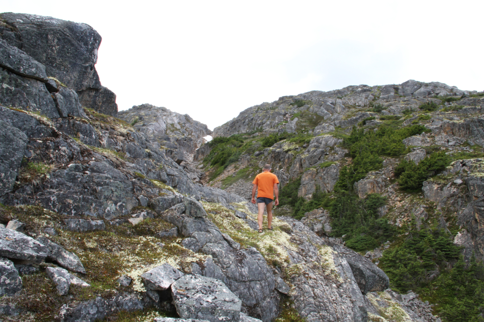
One of the dead-end ledges I mentioned before. You could maybe get across that with shoes that grip well, but the 80-foot drop to the right made it inadvisable to try.
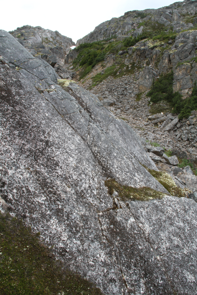
No problem, I soon found a way around that roadblock.
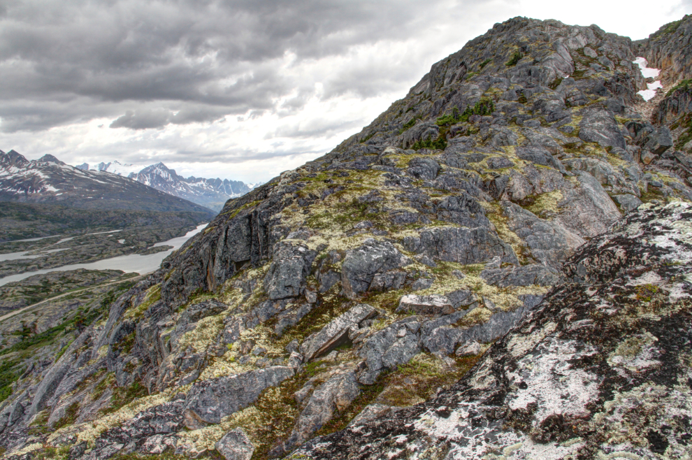
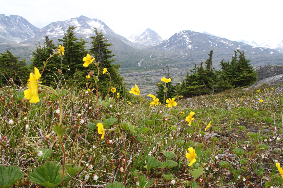
There were still plenty of flowers blooming even as I neared the snow, and any little patch of soil or even decaying vegetation had life of some sort on it.
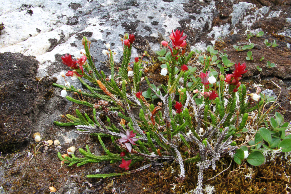
This is where I quit. I was probably only about 300 vertical feet from the summit, but a combination of time, lack of gear (I hadn’t even taken my Spot), and being mentally tired made turning back here seem like a good idea.
Ah yes, back to the flowers and very easy hiking.
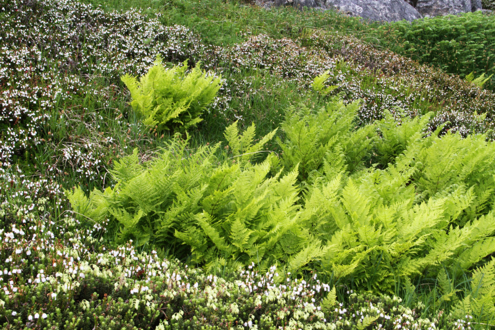
This was the only patch of ferns I saw on the mountain – a brilliant green that practically glowed.
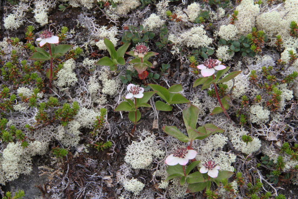
Reindeer moss (Cladonia rangiferina), a.k.a. reindeer lichen, with some flowers I haven’t identified yet.
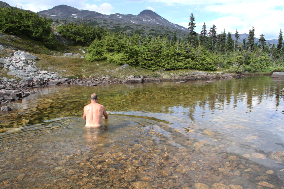
What better way to end the hike than with a cool dip under the very warm sun?
The hike took me a total of 2:40 from start to finish, and I saw enough that I want to go ack as soon as possible to see the summit, where there’s a series of small lakes/ponds among the granite.
