Hiking at Broad Cove and Middle Head, Nova Scotia
On Monday, July 6th, Day 39 of our trip and the 7th day in Nova Scotia, we drove from the Broad Cove Campground at Ingonish to the Hyclass Ocean Campground near Havre Boucher. That’s a 213-km drive, and the only stop we made was at the Middle Head hiking trail shortly after starting out.
My day began on the beach at Broad Cove. It was quite chilly when I started walking just before 09:00, but my hoodie soon got removed. The trail that runs along the outside of the campground to the beach is very nice, and our campsite was only about 60 meters from it.
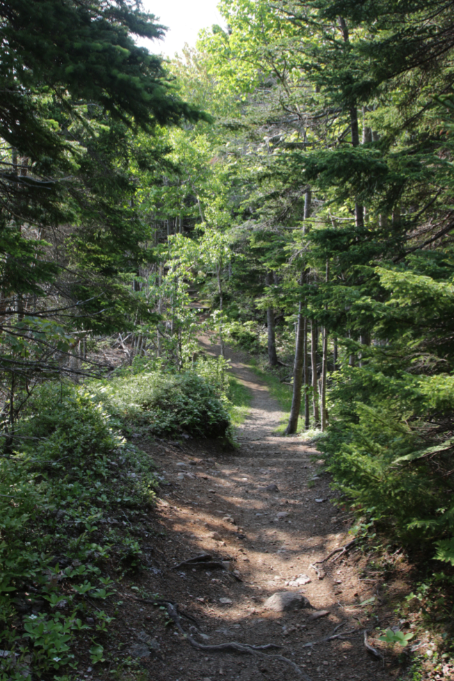
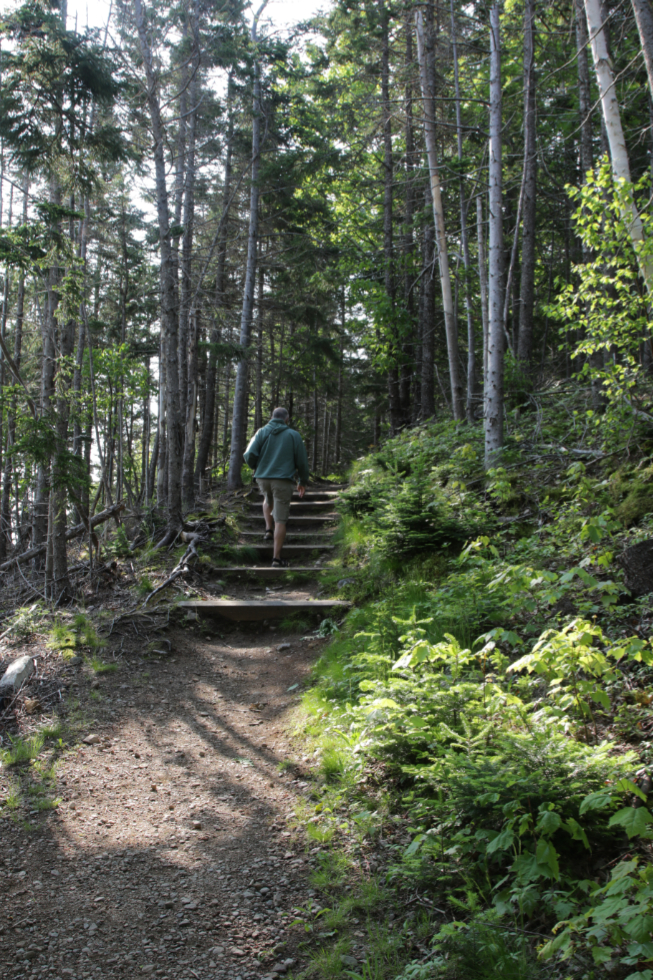
This and Musgrave Harbour were the most perfect beaches we visited during the entire trip (but the weather at Musgrave sucked).
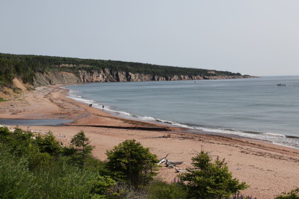
Fine sand, warm sun, and surf. Yes, this was the perfect way to start the day.
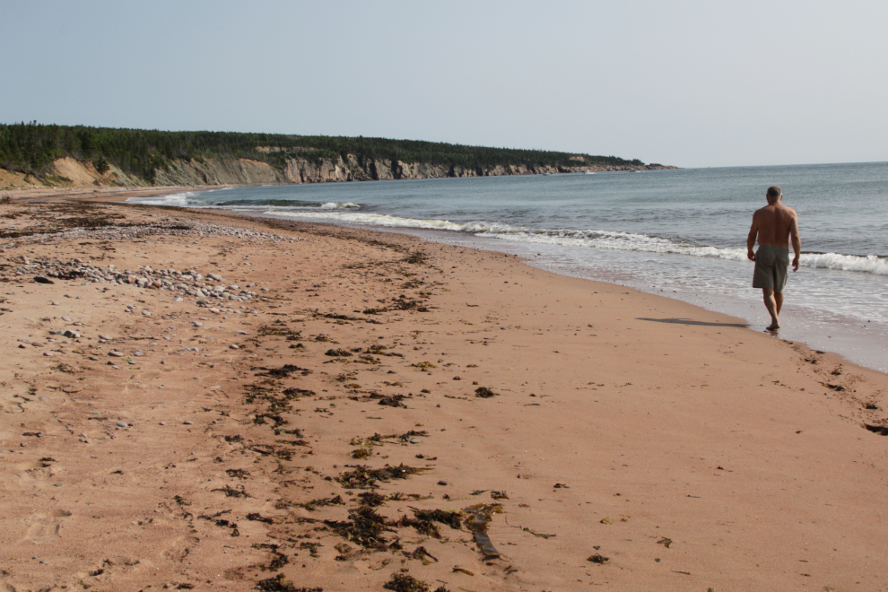
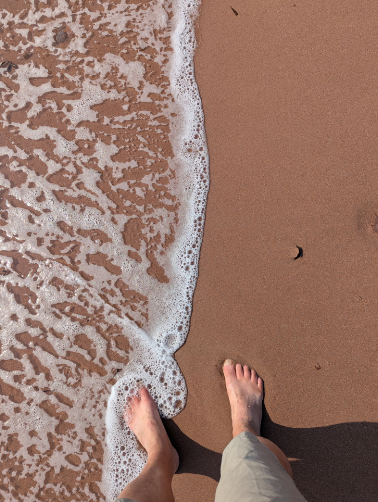
Within a few minutes, the other two people on the beach had left, and I took full advantage of having almost 2 km of beach all to myself.
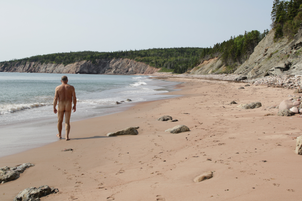
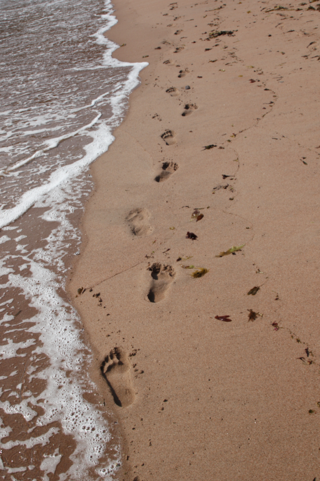
At its north end, this very friendly, peaceful beach becomes dramatic.
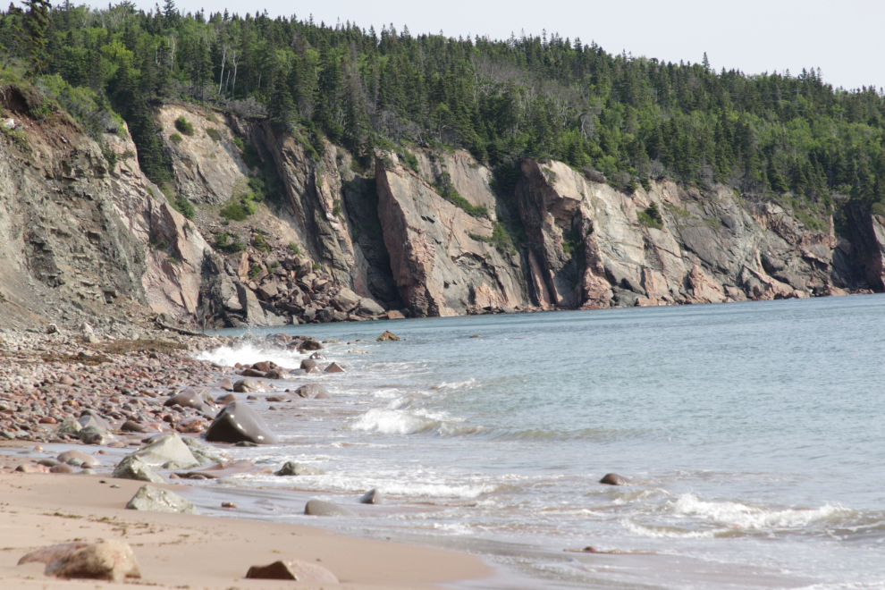
A minute of this place…
I spent over half an hour walking the beach, embracing its beauty and power (I walked 3.7 km in total) but then it was time to get back to the RV, pack up and hit the road. It was only 14 km to the trailhead at Middle Head, though, where I’d get some more energy from the sea.
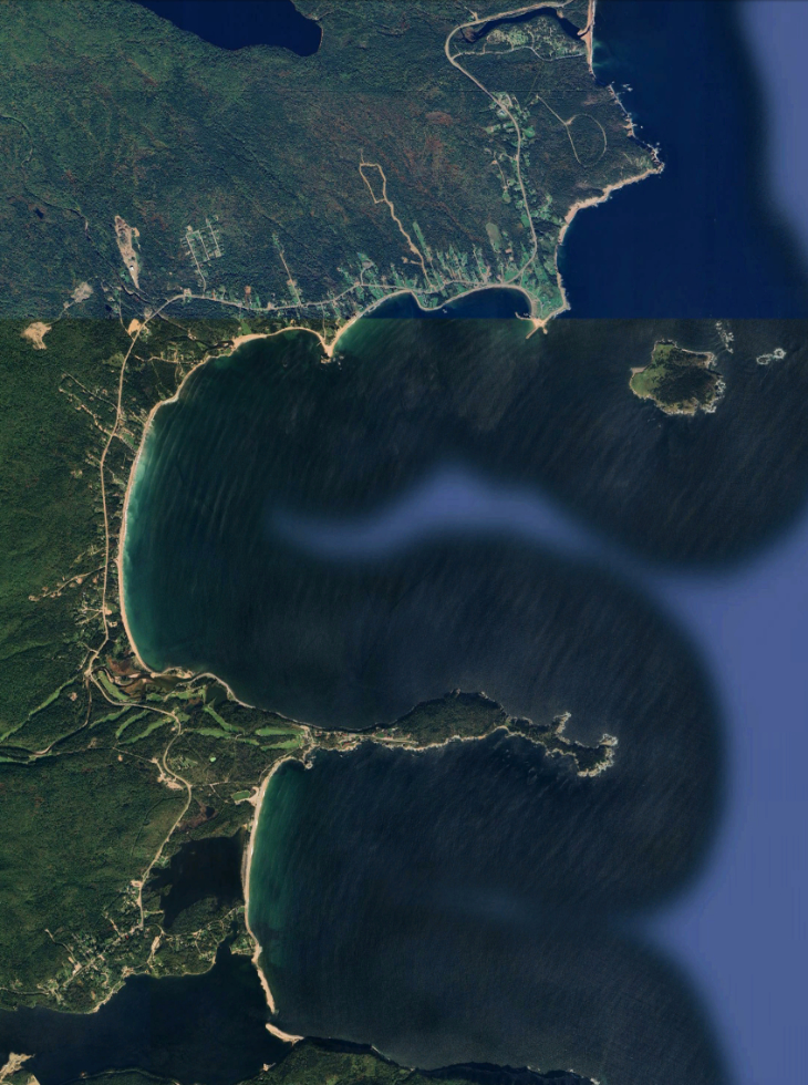
The Ingonish area is particularly beautiful, with kilometers of beautiful red beaches. In this Google Earth image, Broad Cove is at the top, and the two bays are North Bay and South Bay, separated by Middle Head. Click here to open an interactive map in a new window.
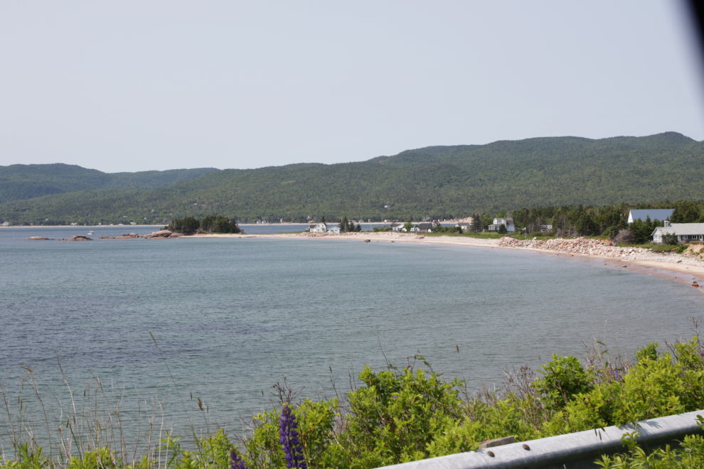
A pullout allowed me to get this photo of King’s Point in North Bay.
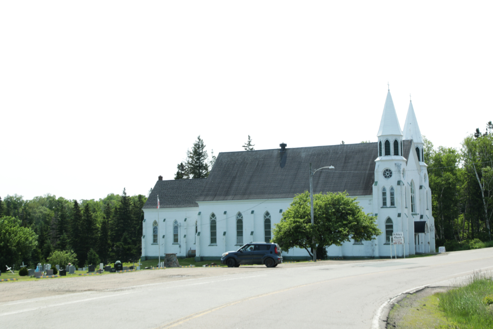
The very impressive St. Peter’s Catholic Church at Ingonish Beach was built in 1913.
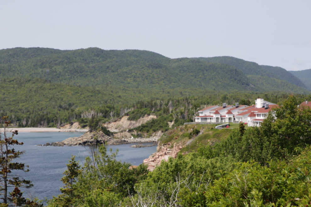
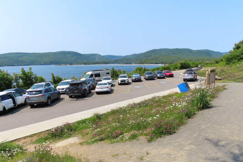
The Middle Head trail is accessed through the Keltic Lodge property. The trail parking lot was full, so I parked a few hundred meters away at the huge original lodge which seems to have been built in 1940 but was closed in 2024 due to advanced deterioration. I’ll tell you more about it after the hike. The next photo show part of the lodge property from my parking spot.
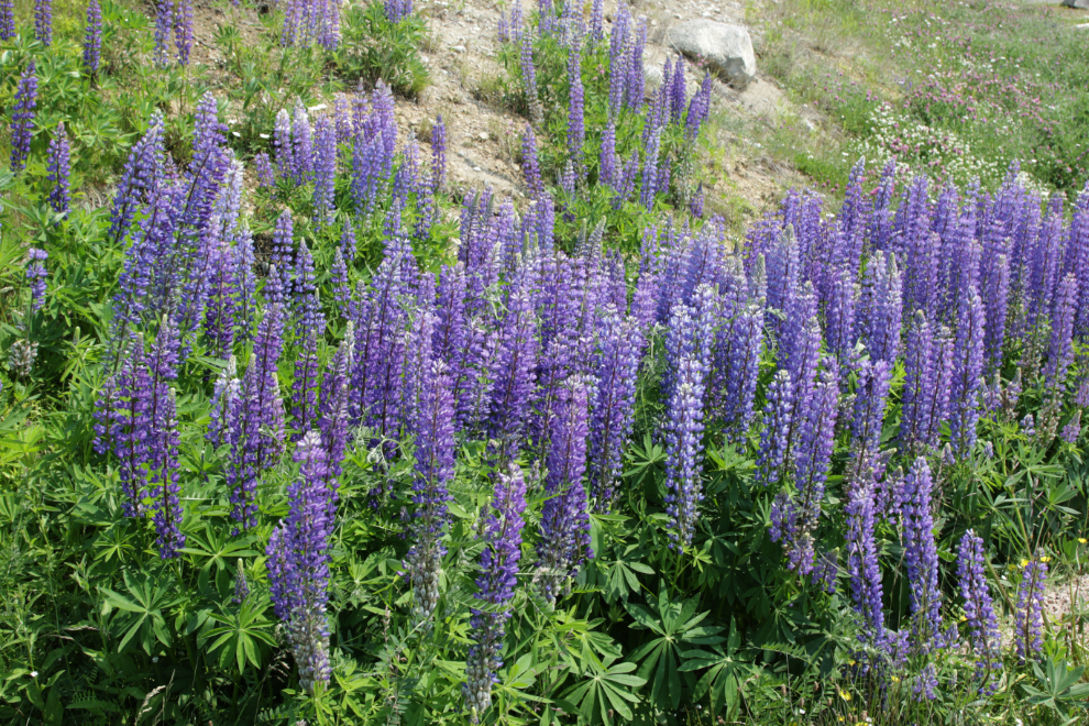
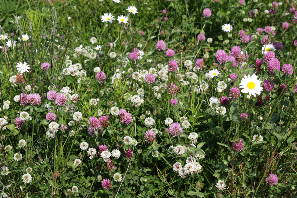
There were lots of flowers along the road back to the trail – lupine, pink and white clover, daisies…
The trail is 5.3 km long, rated as easy.
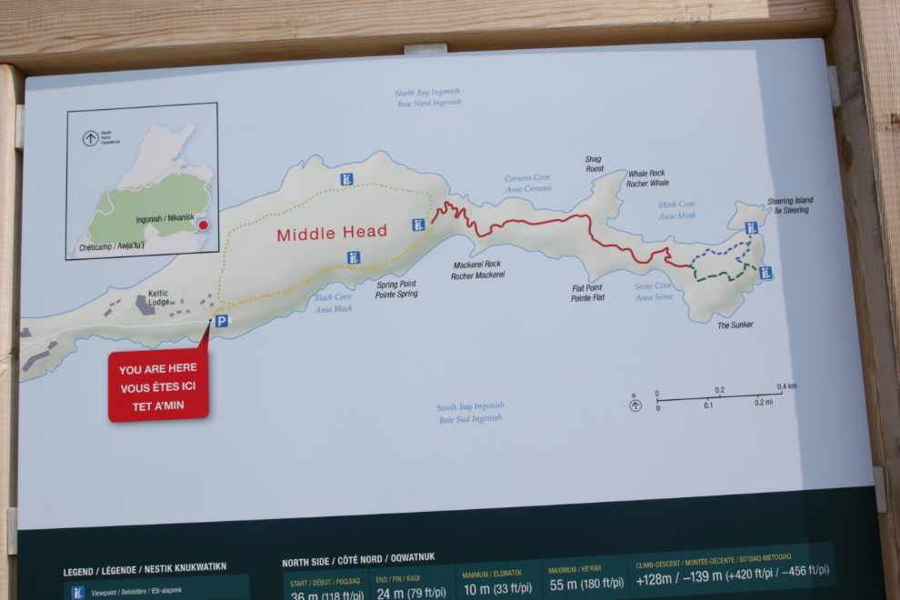
This shows about half of the parking lot.
Looking back at the concrete pillars for one of the gates on an estate that was built here by Henry Corson of Ohio starting in 1890. He was touring Cape Breton with Alexander Graham Bell when he spotted this place. His large home became the Keltic Lodge in 1940, and was replaced by the new lodge in 1951.
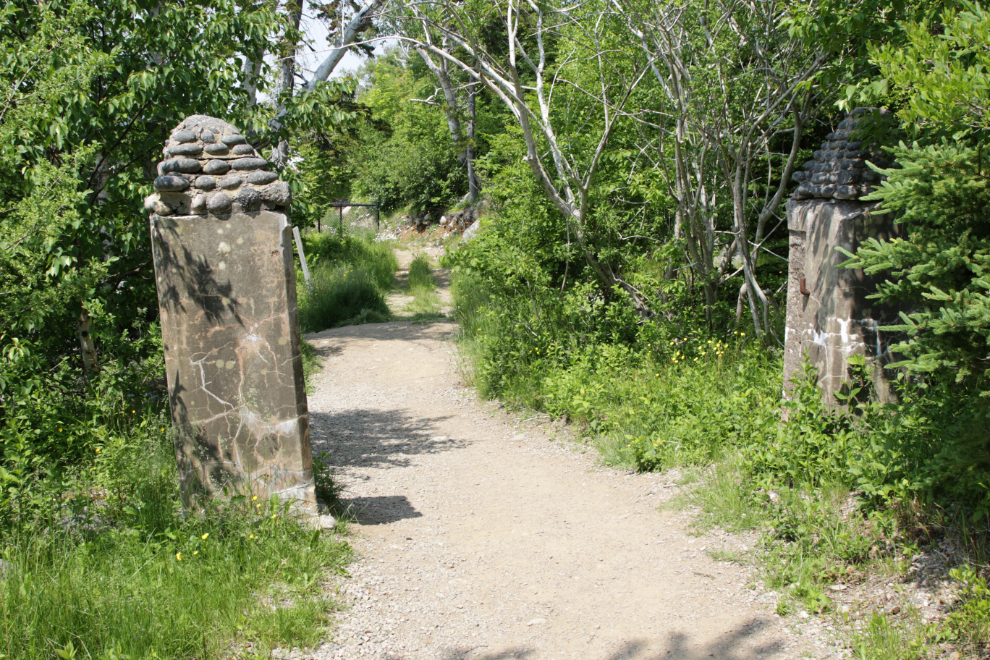
The start of the trail, through the forest, is very nice, and despite the full parking lot, people came in bunches and then the trail was empty again.
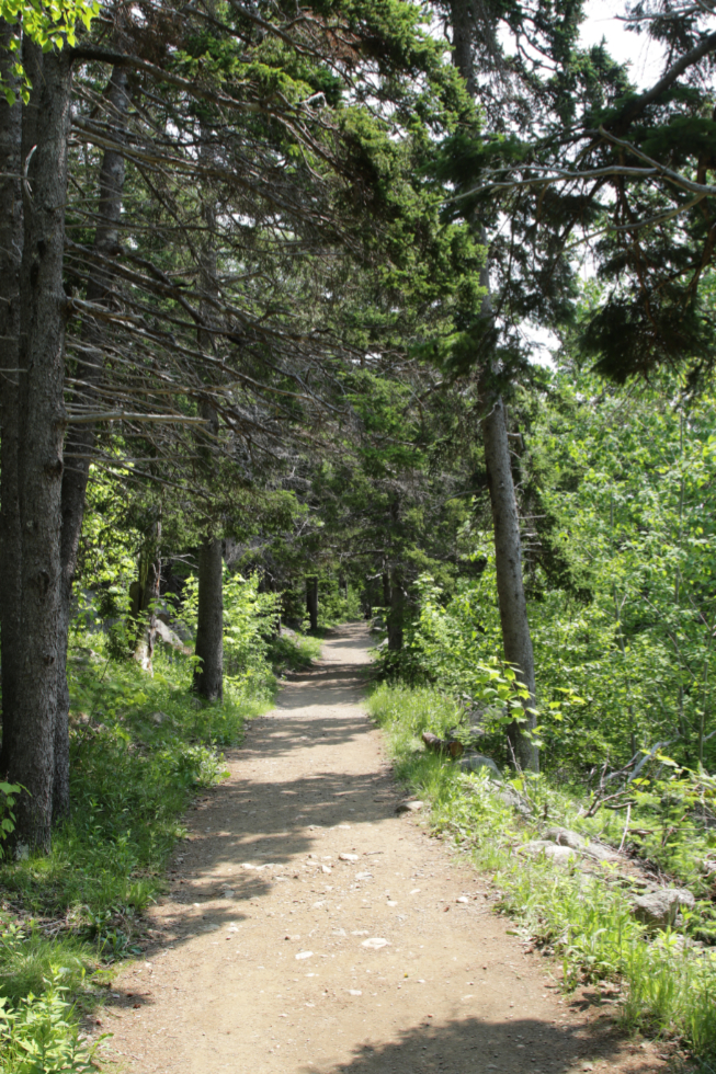
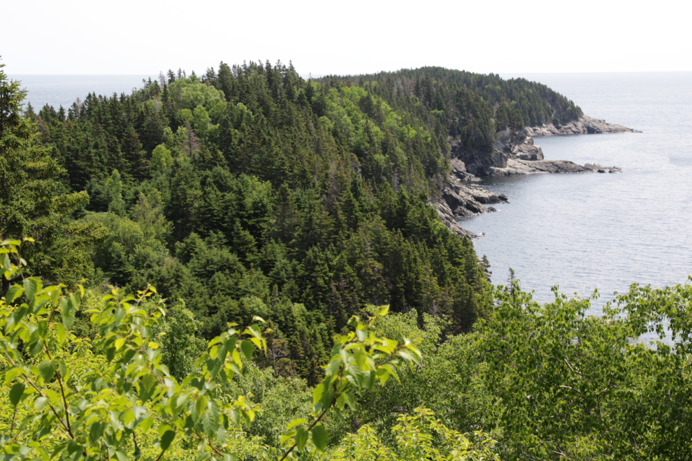
There were occasional wonderful views of the coastline through breaks in the trees.
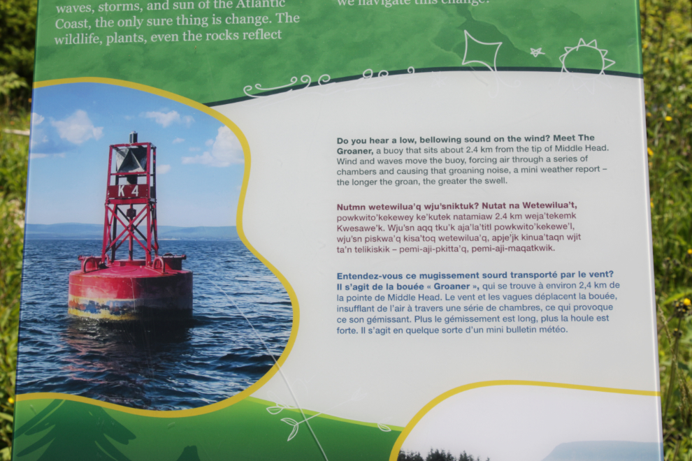
I started hearing a moaning/groaning sound I couldn’t make sense of every few minutes. This interpretive panel explained that the sound comes from a buoy known as The Groaner 🙂
Views of the rocky shores and cliffs got more and more common
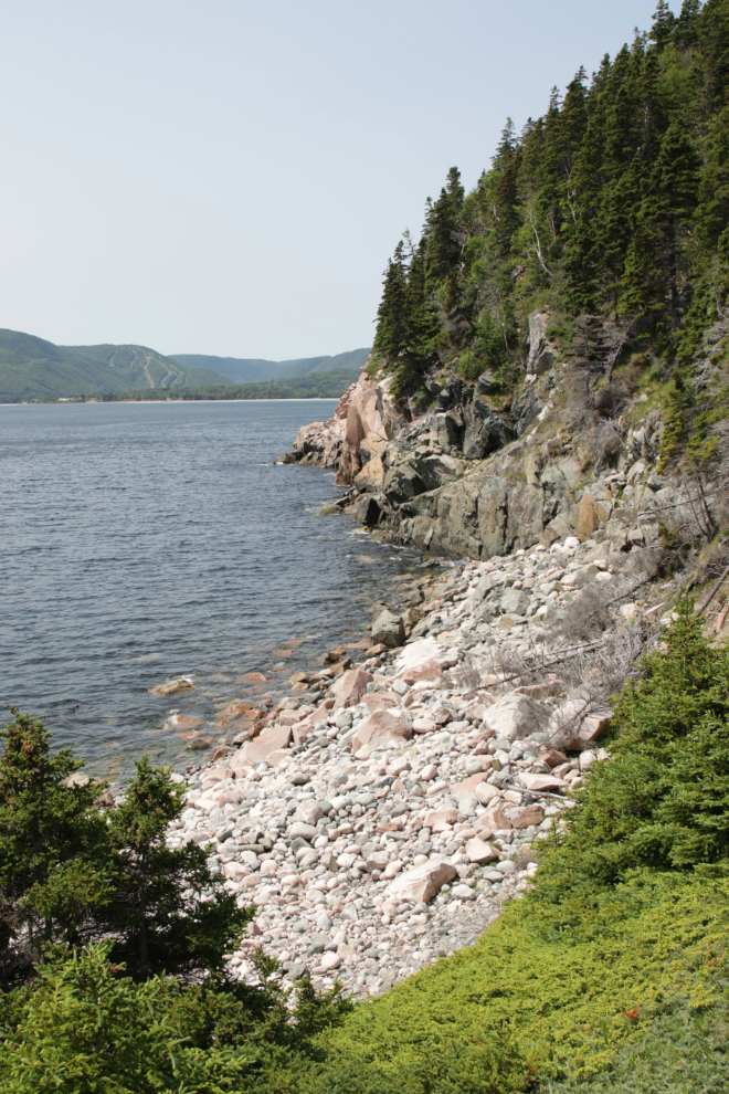
That’s Antigonish Island in the distance, on the north side of North Bay.
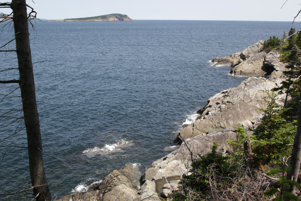
The rocks along Mink Cove, with Whale Rock out on the point.
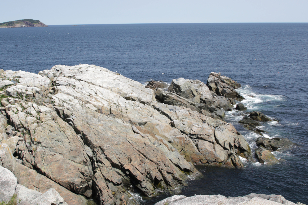
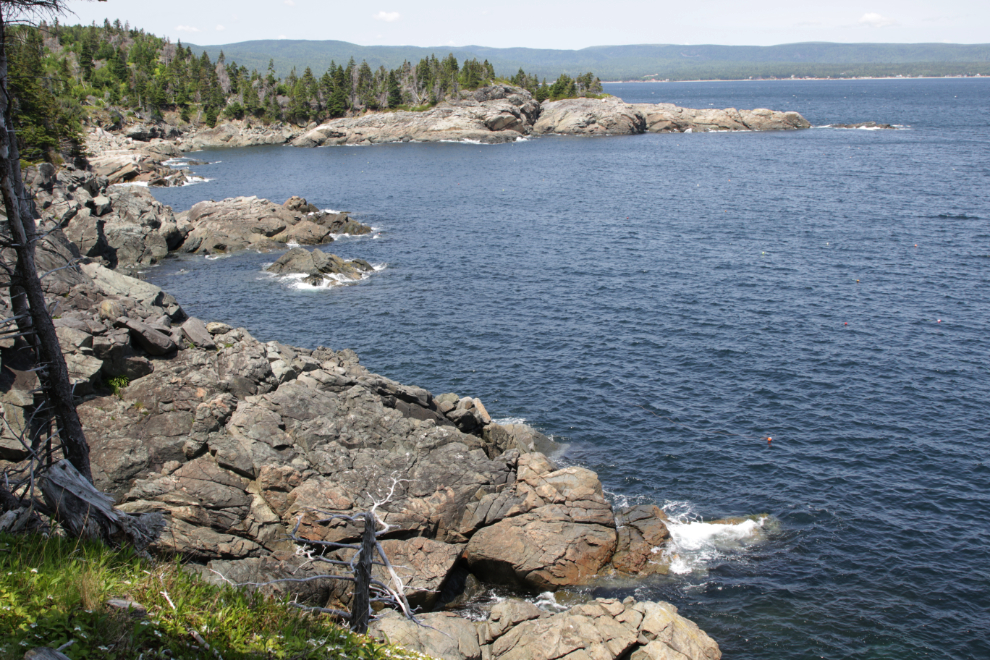
Steering Island is popular with birds – all I saw was gulls but apparently sometimes there are a lot of Arctic terns.
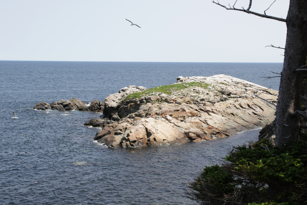
There were a lot of people out at the viewpoints at the end of Middle Head, and on the walk back I met a few of the bunches of people Im mentioned. One of the young guys in this bunch was singing French-Canadian folk songs non-stop – smh…
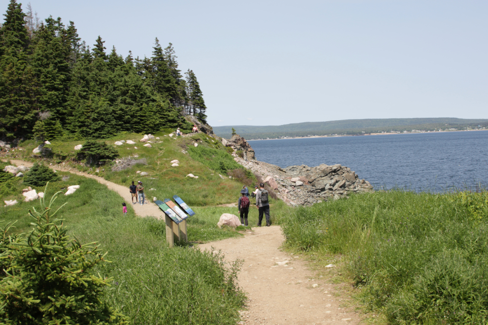
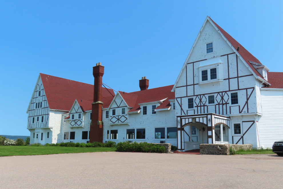
Back at the RV, my Strava tracker reported the hike as 6.27 km, with an elevation gain of 136 meters. Before departing, I had a good look at the magnificent 1951 Keltic Lodge. The RV is just out of sight to the left.
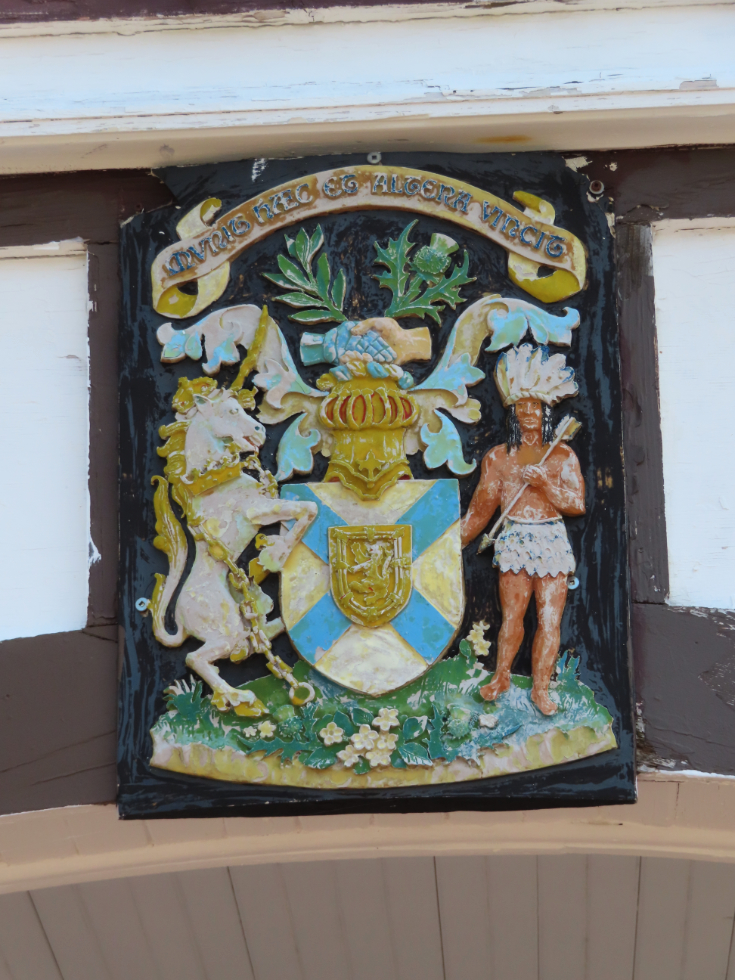
Over the front door is the Nova Scotia coat of arms, with the motto Munit Haec et Altera Vincit (One defends and the other conquers).
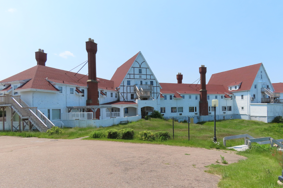
The back of the building is perhaps even more impressive than the front. I would have paid for a tour of the interior.
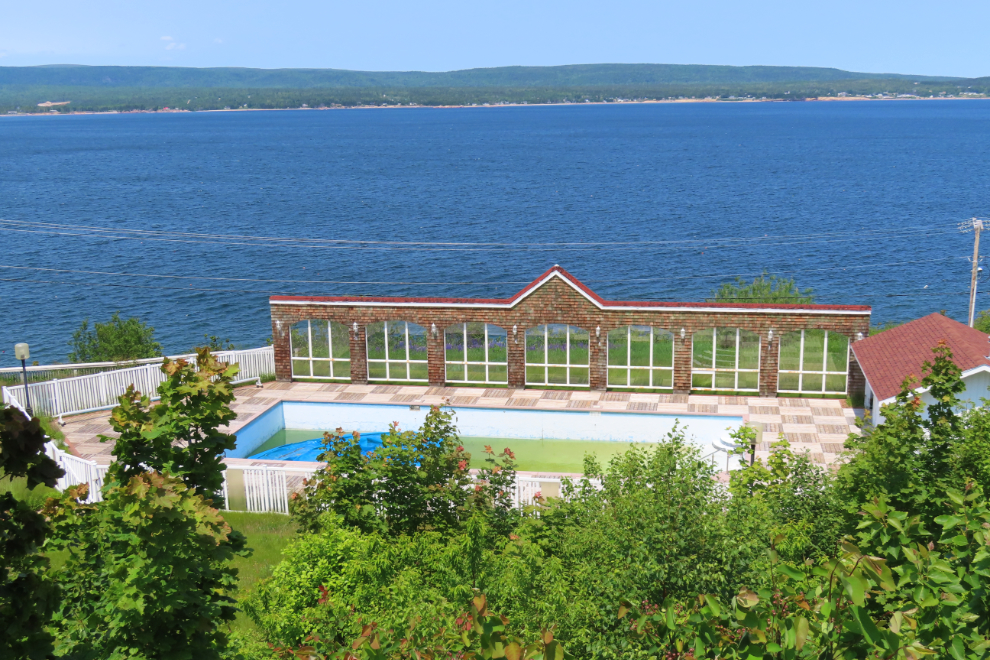
The swimming pool on the slope far below the lodge.
The Keltic Lodge must have been quite a place in its heyday, but the building is in rough shape now, and three options are being studied. Option One is the “Heritage Restoration for Continued Hotel Use. This option includes the conservation and restoration of the building’s heritage character-defining elements. It also addresses accessibility shortcomings, code compliance and deficiencies, and the need for contemporary hotel amenities. Work would restore the original exterior, with full replacement of the existing wood cladding. Approximate project cost: $69.5 million.” Option Two is demolition, and Option Three is renovation for other uses. I sure hope Option One becomes the choice, and I expect that is the community sentiment as well.
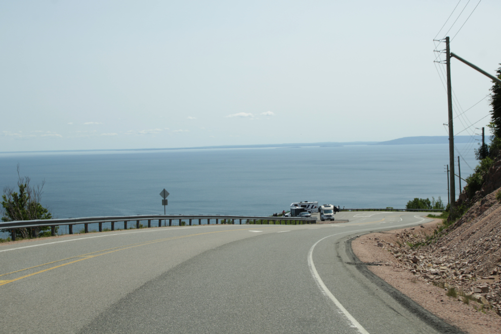
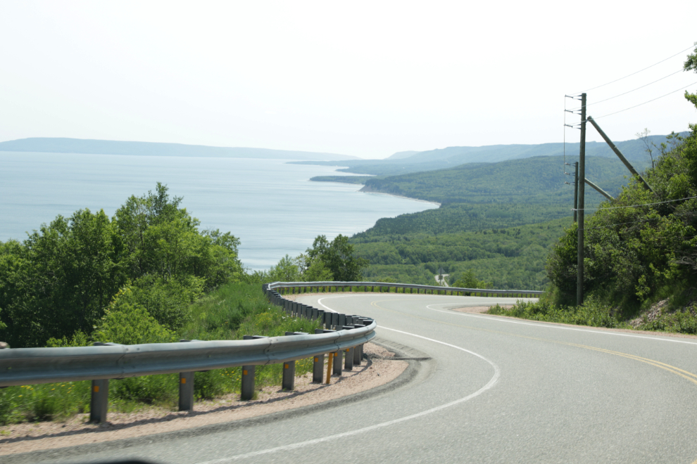
Okay, back on the road, with 197 km to go – 78 of it on Route 30 and most of the rest on the much busier Trans-Canada Highway. The highway in the Cape Smokey area has some wonderful vistas.
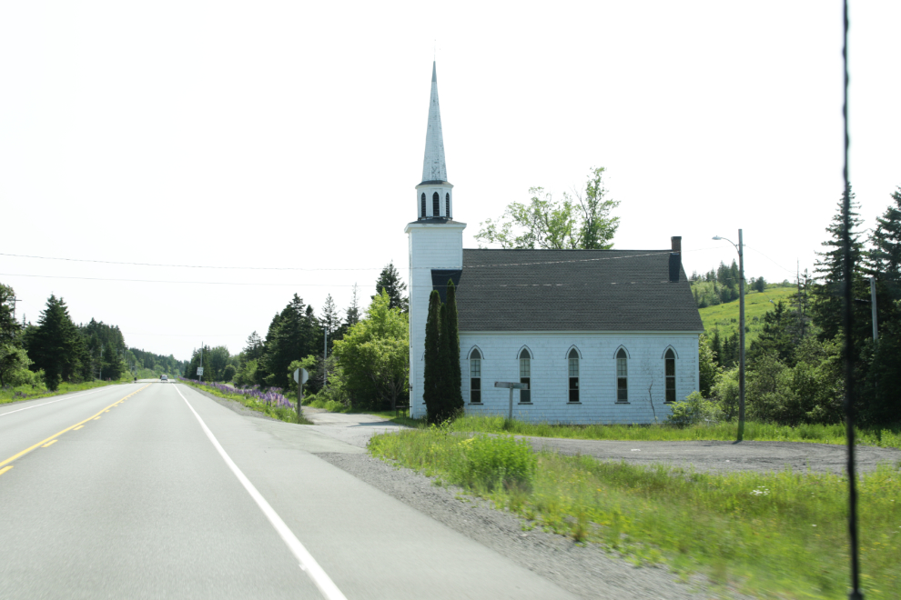
This is the Ephraim Scott Memorial Presbyterian Church, caught on the fly by Cathy. Built in 1893, it is Cape Breton’s oldest Presbyterian church.
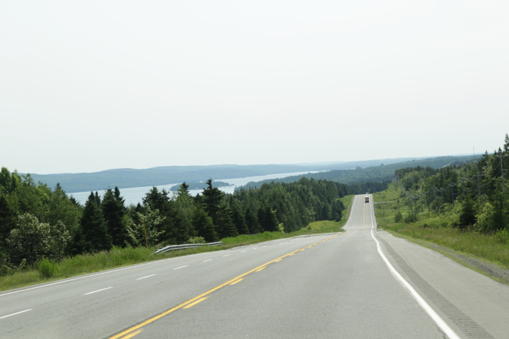
Back to Bras d’Or Lake again.
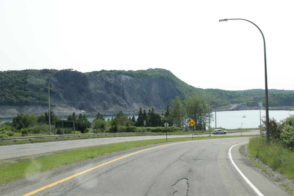
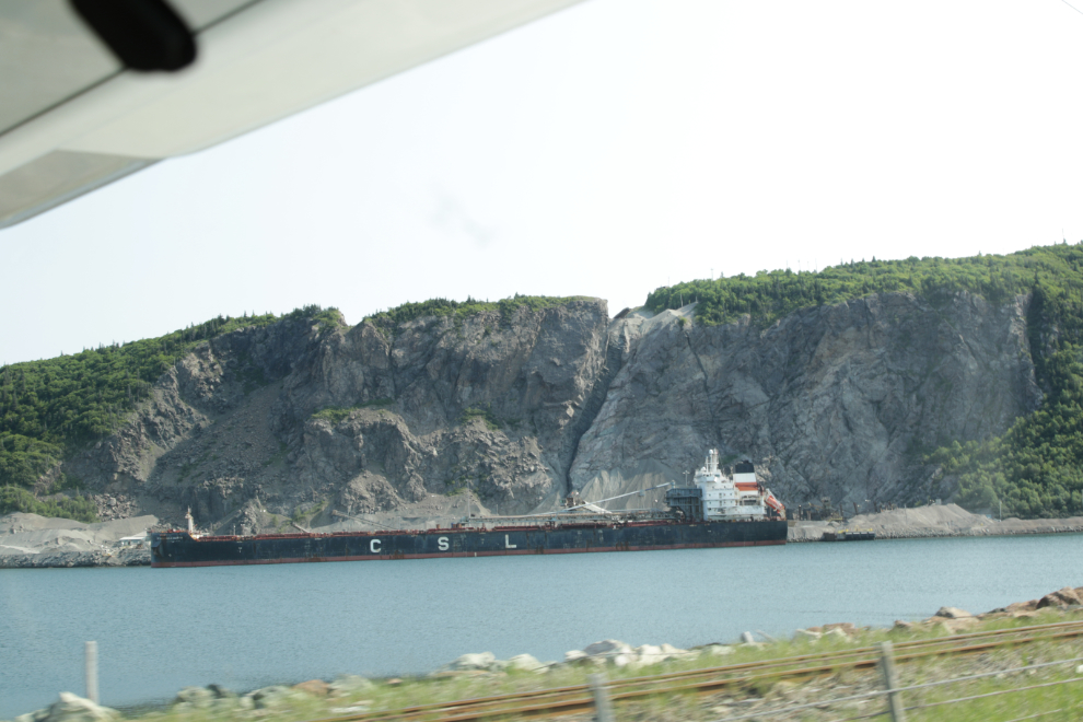
That certainly got our attention! Mostly hidden by the trees, there was a large freighter loading something in bulk.
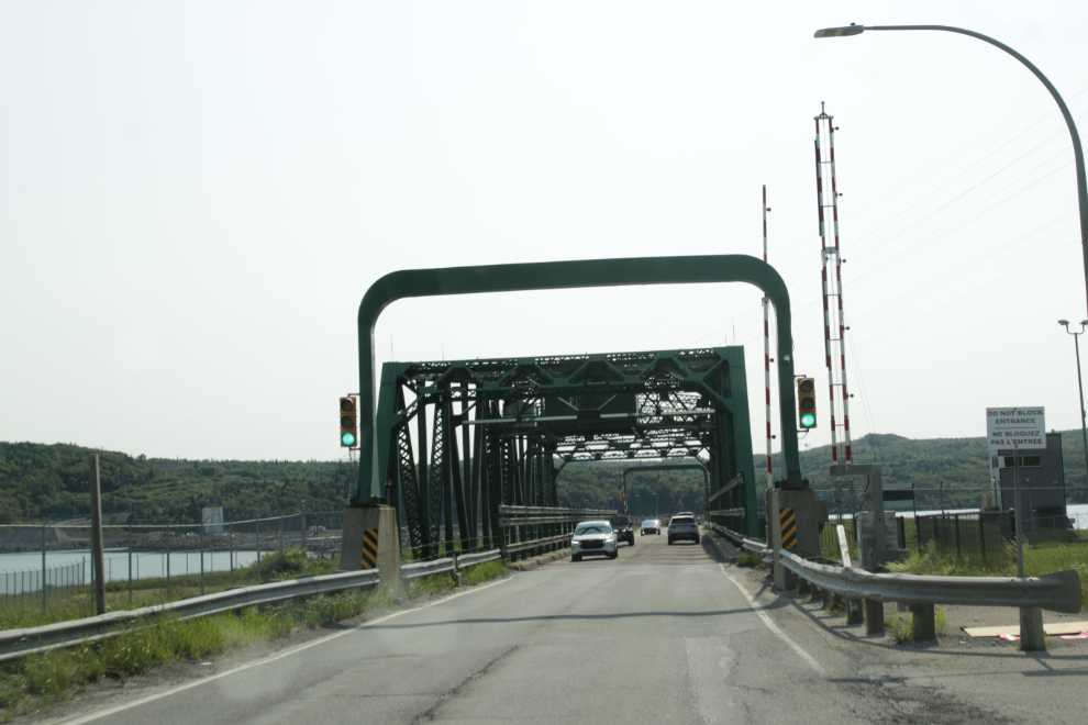
A minute later, I screwed up at a roundabout and headed off on the wrong highway, and it took some time to get turned around. But eventually we were back and crossed the Canso Canal on this steel bridge.
This is the quarry that provided the stone for the Canso Canal and Causeway. It was started in 1952, and today the Martin Marietta Porcupine Mountain Quarry is a major shipper of gravel and aggregates.
We had booked a spot at the Hyclass Ocean Campground after cancelling the second night at Broad Cove, to make the drive to Halifax easier. It was chosen for being halfway, and being on the water. While the property is beautiful, it’s “hyclass” in name and price only. Our “Pull-Through Ocean View RV Site – Full Hook Up” cost $53 plus 14% HST.
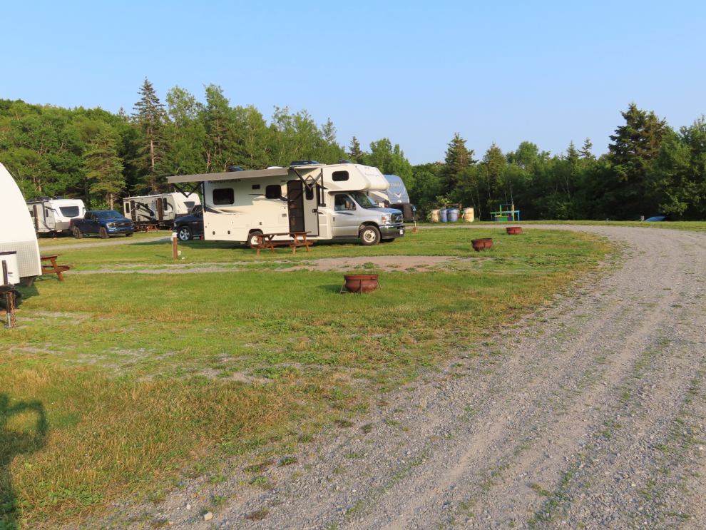
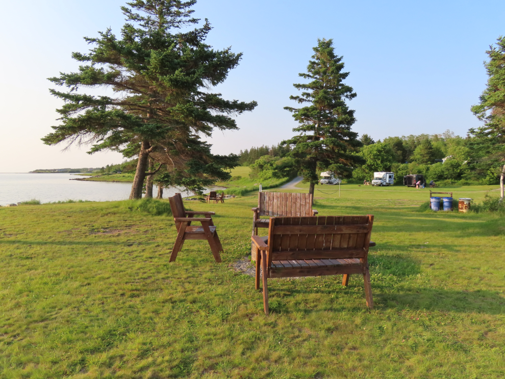
The bottom row of RV sites has no services. The play and sitting area is a beautiful place to sit and enjoy the water view, but the “beach” isn’t a beach I could enjoy a walk on, it’s a rocky barnacle-covered shore.
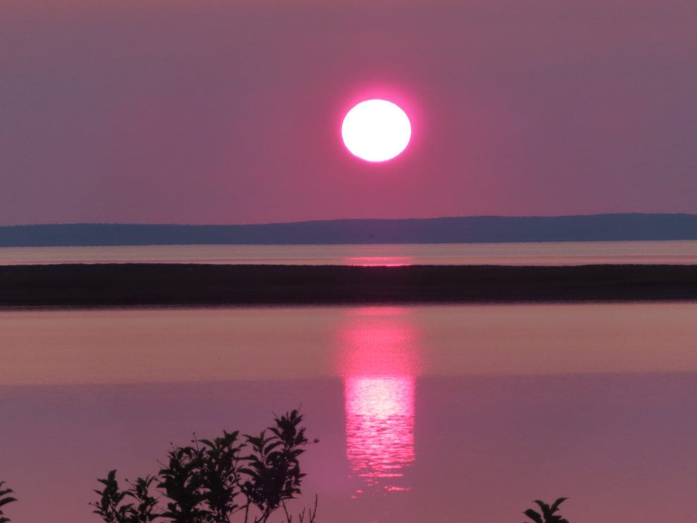
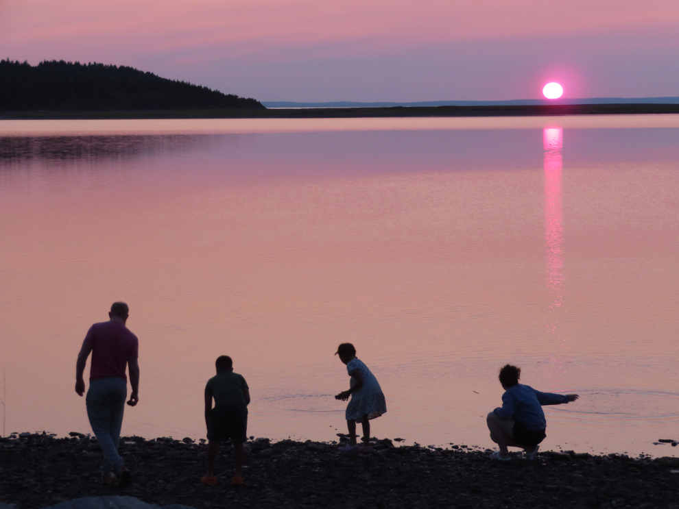
The sunset was the finest of our entire trip, and I went down to the shore to watch it. The camera couldn’t capture the incredible deep red of the sun.
The next day, we would drive to an RV park close to Bedford, where we would drop the RV the following morning. The break for this day would be a visit to the Atlantic Canada Aviation Museum near the Halifax airport.

About The Author
