Hay River, NWT to Manning, Alberta, by motorcycle
The Grand Adventure part of the trip is now over. I’m in northern Alberta, and most of the rest of the ride is on highways I’ve been on dozens of times. Beautiful country for sure, though, and something new could pop up 🙂
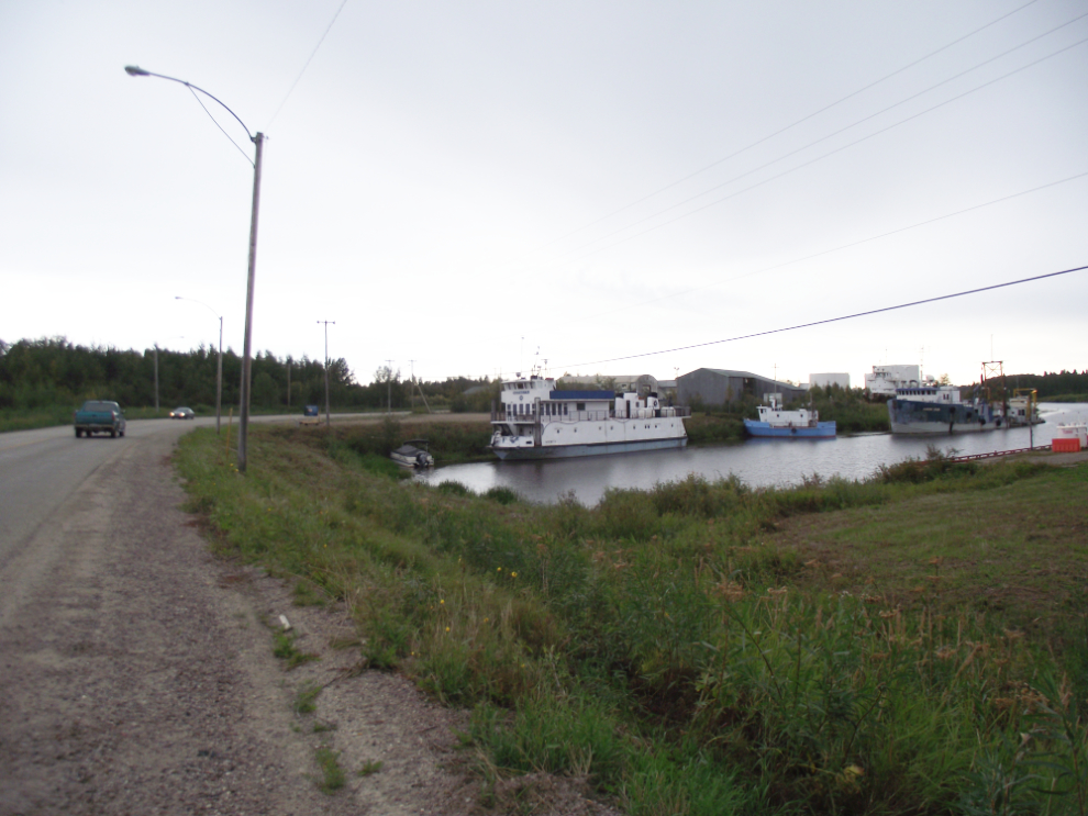
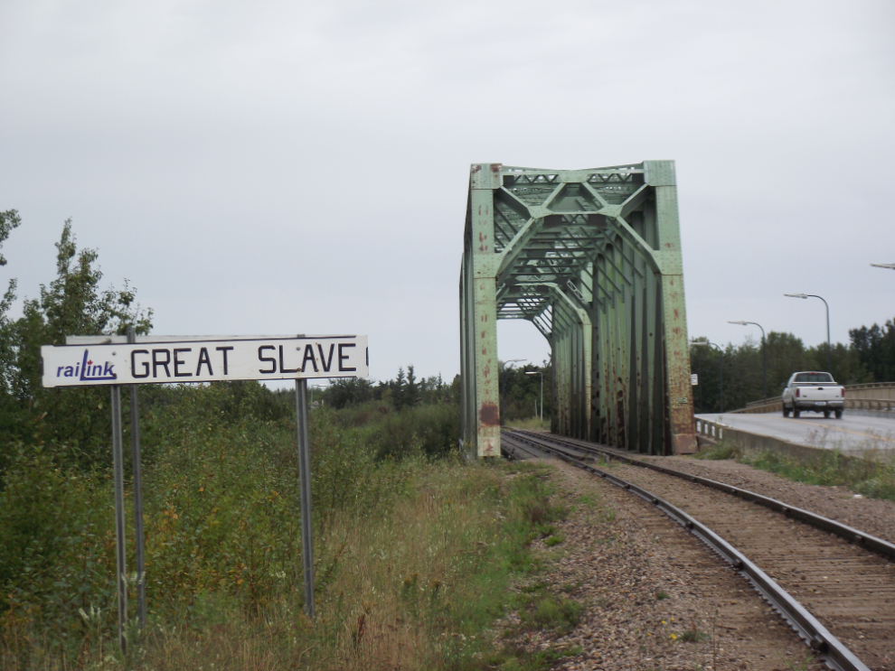
It started to rain hard as I left my hotel in Hay River at about 9:30 yesterday morning, and I had rain to varying degrees for much of the long day. The first photo, shot from the shoulder of the Mackenzie Highway, shows my first look at Hay River’s port status – Great Slave Lake and the Mackenzie River are a virtual ocean for shipping.
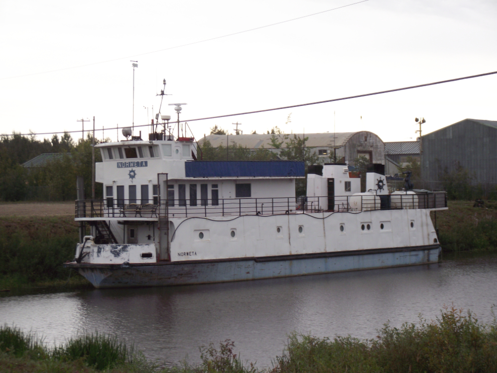
The MV Norweta is a famous boat in the North, having run tours up and down the Mackenzie River for 19 years. She’s unfortunately now parked and up for sale.
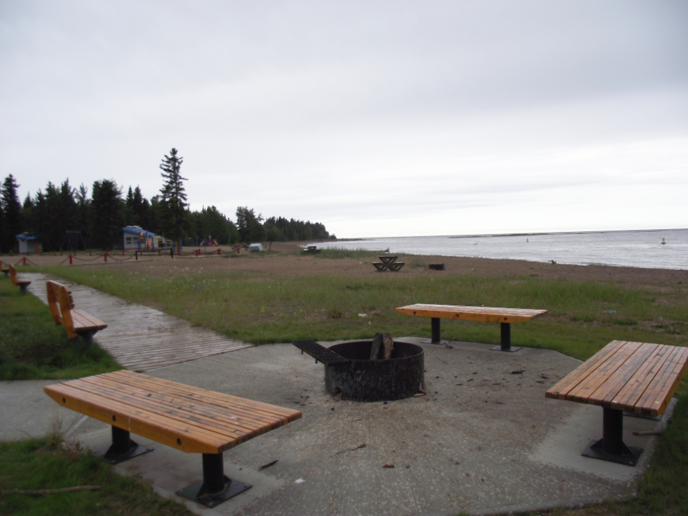
Great Slave Lake apparently has gorgeous beaches – yesterday the beauty was a bit obscured.
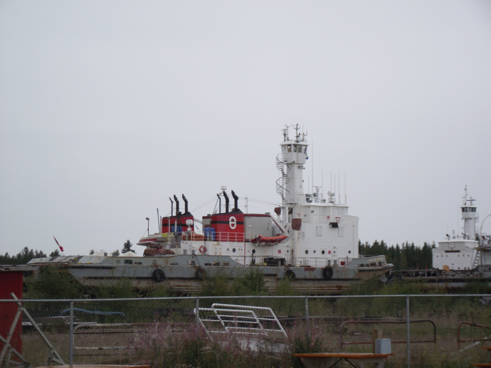
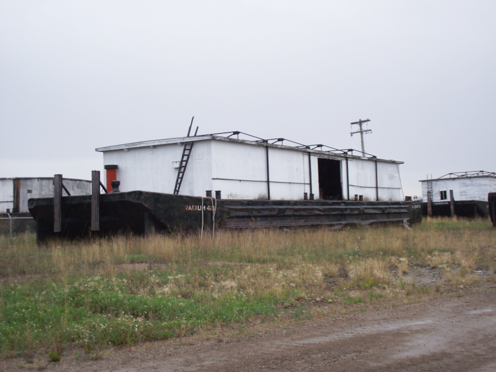
The number of ships and barges parked in the yard at NTCL (Northern Transportation Company Limited) amazed me. [Update: NTCL filed for bankruptcy on December 30, 2016, and no longer exists]
That barge could be sitting beside the Yukon River 110 years ago – other than having a steel hull now, it’s identical to what the sternwheelers used to push.
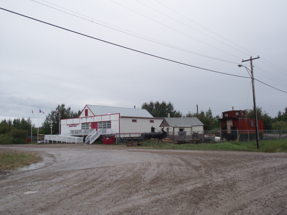
The Hay River museum was closed.
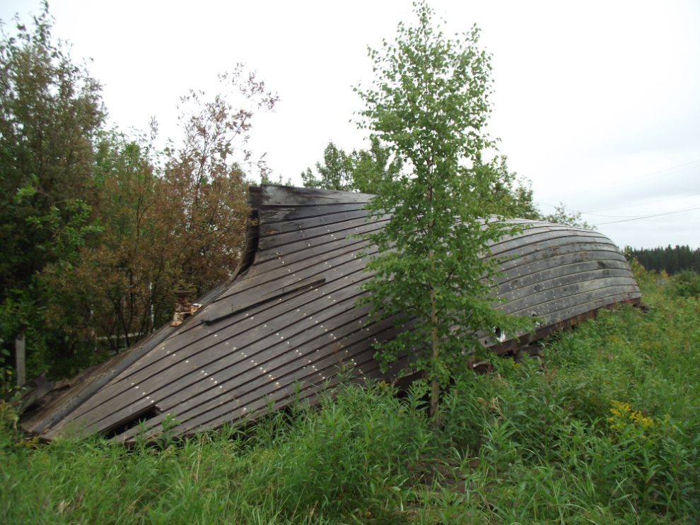
I caught a glimpse of something interesting through the trees across the street from the museum, though…
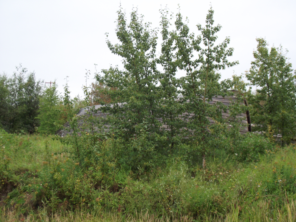
… and found this particularly fine example of the boat-builders’ art. She’s about 25 meters long, and was driven by a single prop.
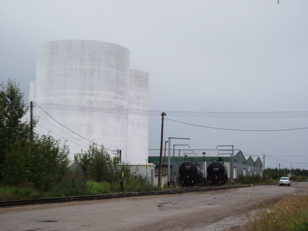
Much of the shipping at Hay River involves fuel – there are railway tank cars, tank farms and fuel barges all over the place.
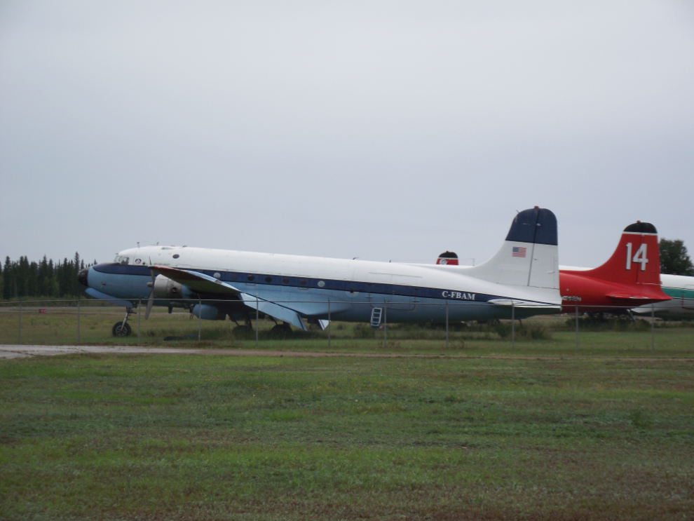
Buffalo Airways has a lot of aircraft stored at Hay River! This is a 1944 Douglas C54G-DC, C-FBAM.
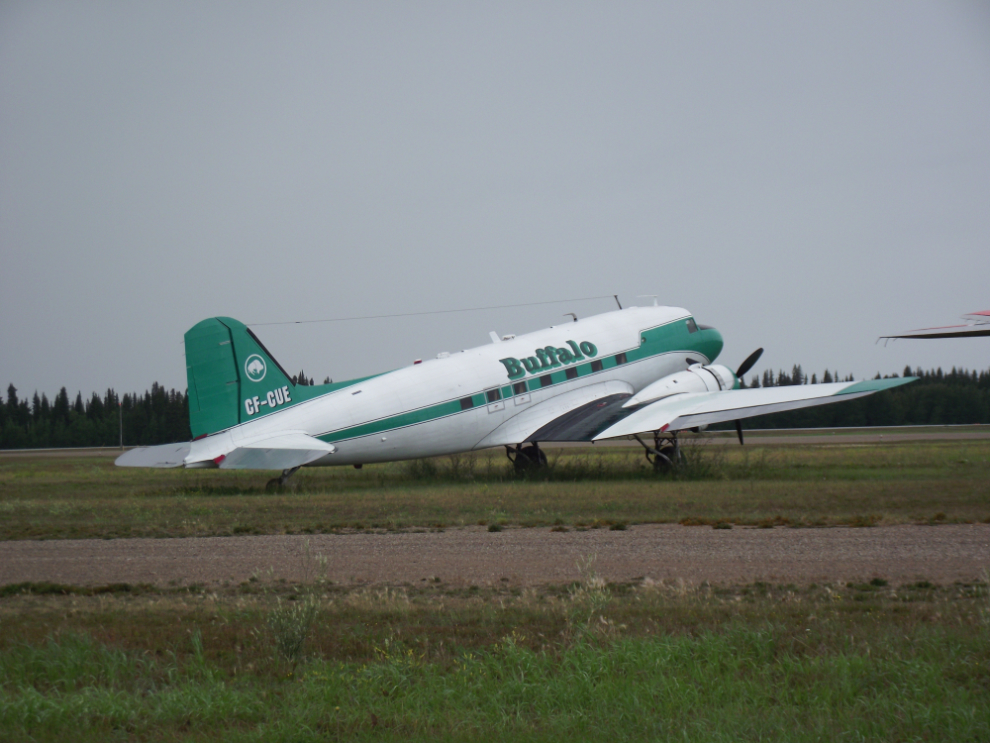
To me, a DC-3 is one of the most beautiful aircraft ever designed. CF-CUE is a 1942 C-47A. While I was shooting from outside the fence, a fellow came along in a pickup and offered me a ride along the aircraft line!
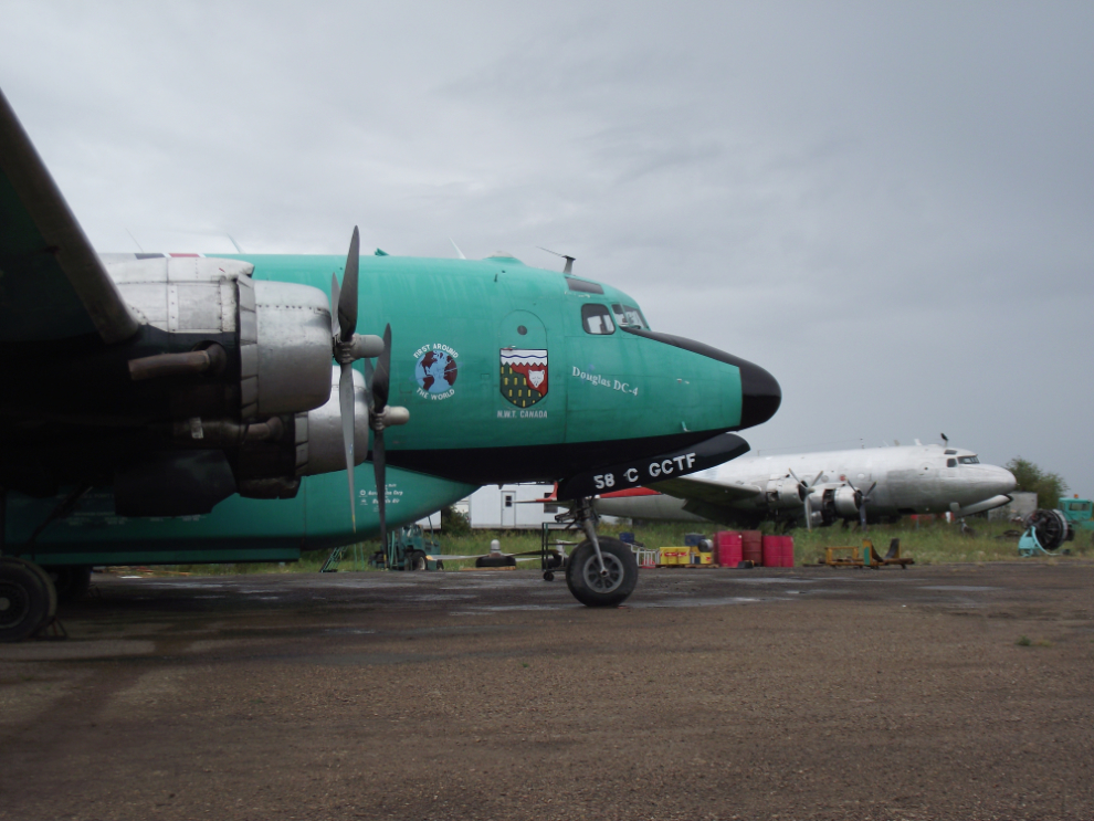
A 1945 Douglas C54E-DC, C-GCTF. The symbol in front of the props is a globe with “First around the world” – I don’t know what that means exactly.
The railway just came north here in 1964.
Heading out of town, this was tough decision. I really wanted to go left here to see the ruins of the town of Pine Point, but that would take at least 3 hours. Perhaps in good weather I would have – oh well, next time! 🙂
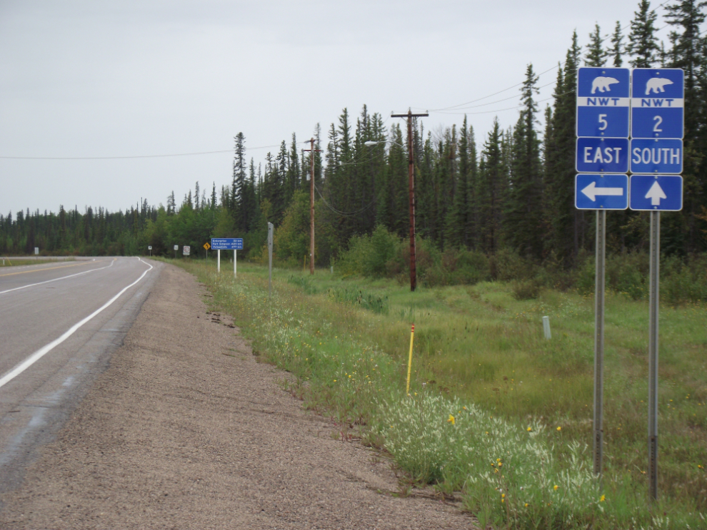
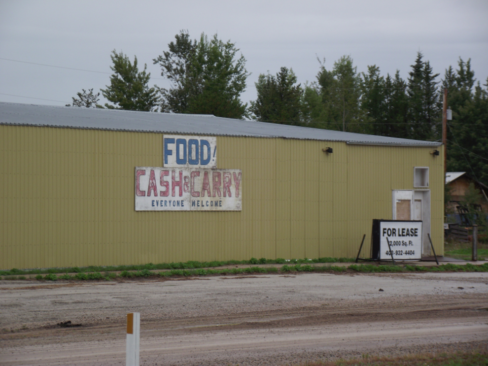
The population of the community of Enterprise (“Gateway to the Northwest Territories”) is supposed to be 100, but other than a lodge and a mobile home sales office (??), it looks pretty much abandoned.
Back on Highway 1, the “Waterfall Route”. First stop, Louise Falls, 15 meters high (50 feet). This view is a 5-minute walk from the parking lot.
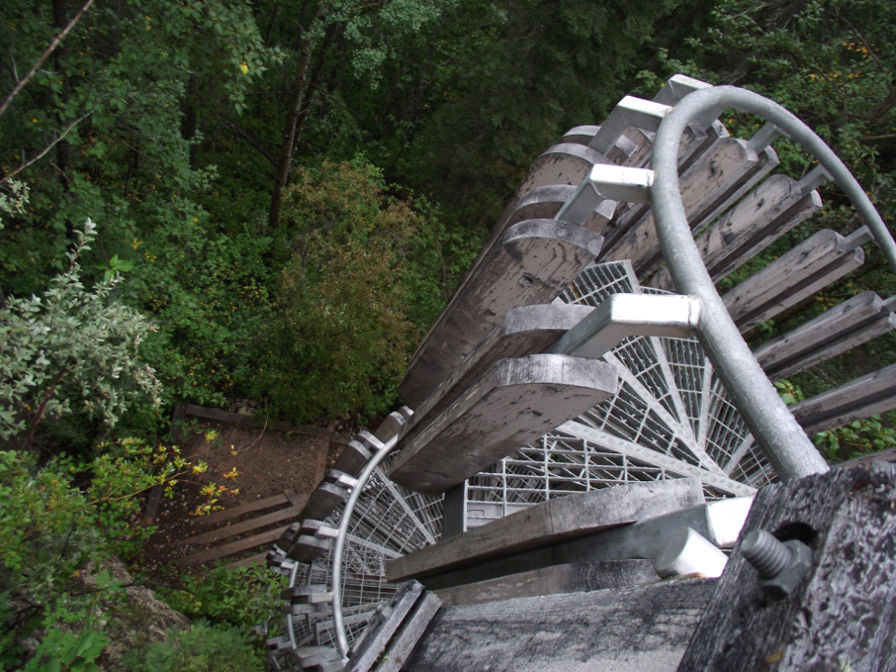
This impressive and dizzying spiral staircase takes you down closer to the lip of Louise Falls, to a trail that would have a chain-link fence along it in any jurisdiction other than the NWT!
The view of Louise Falls from the lower trail.
If you scramble down the bank, you get this view.
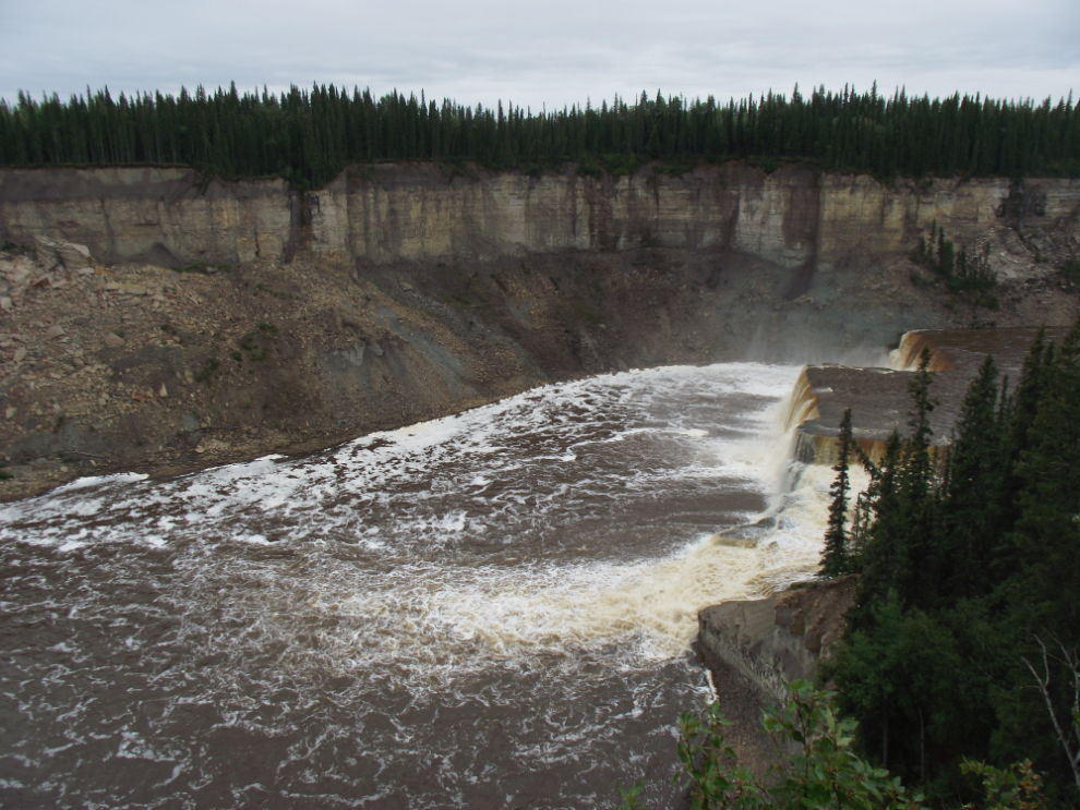
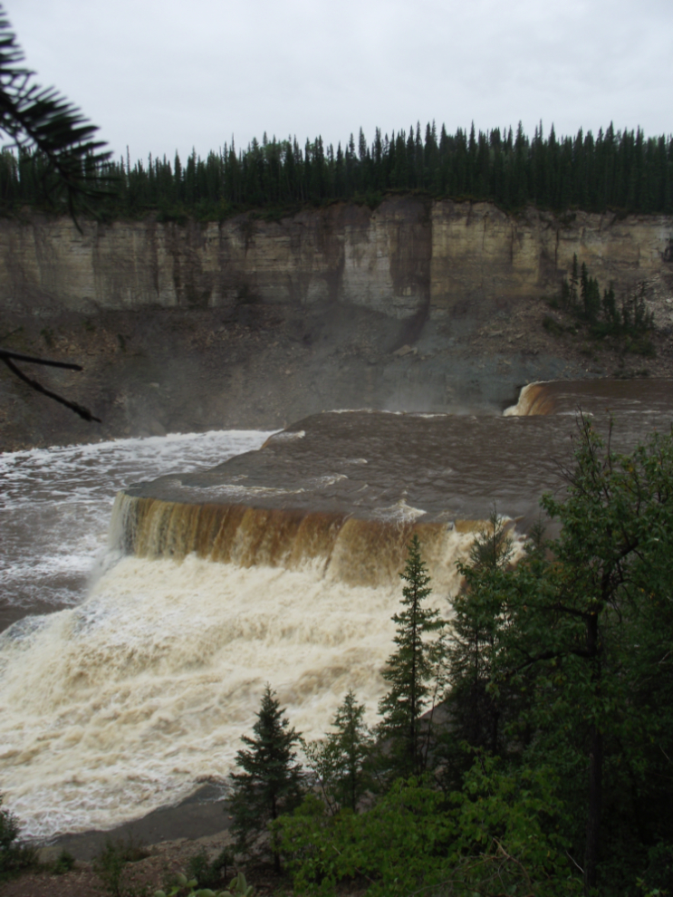
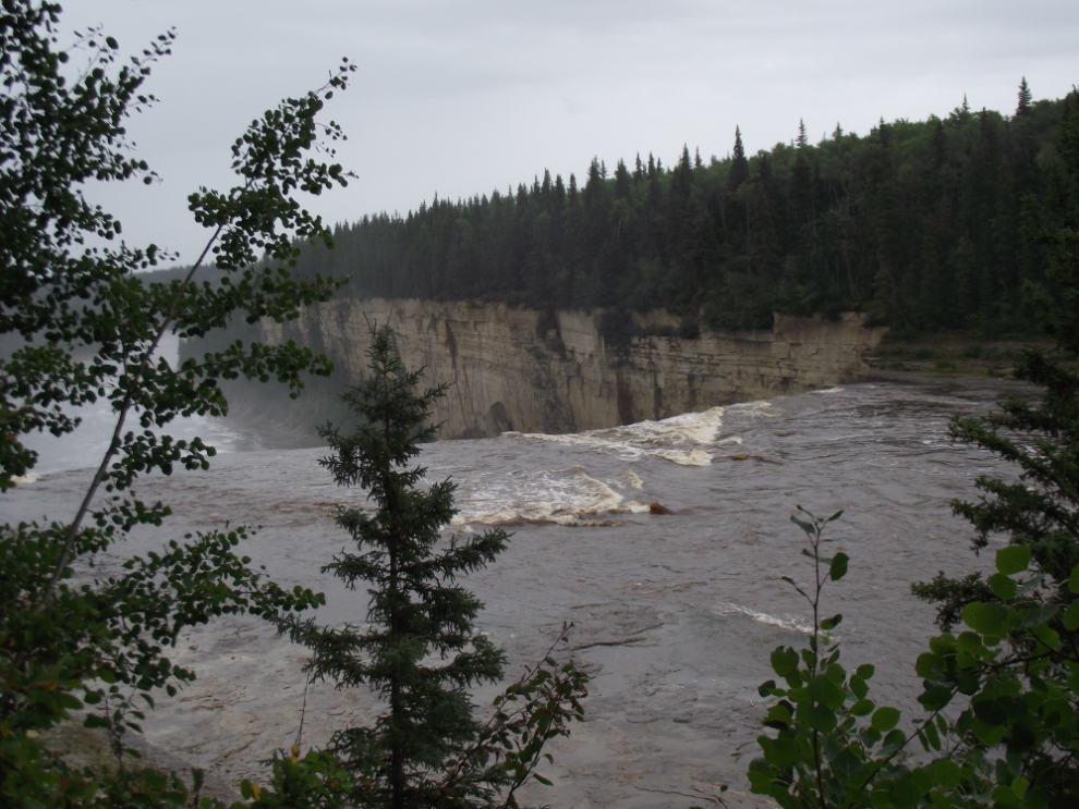
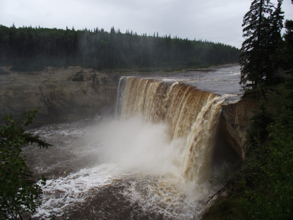
Three minutes further down the highway is the parking lot for Alexandra Falls. From the river above, a hint of what’s ahead – a time to start paddling very hard if you see this view from a canoe!
The Hay River goes over the edge!
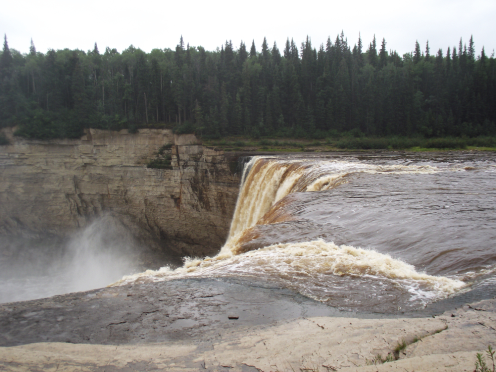
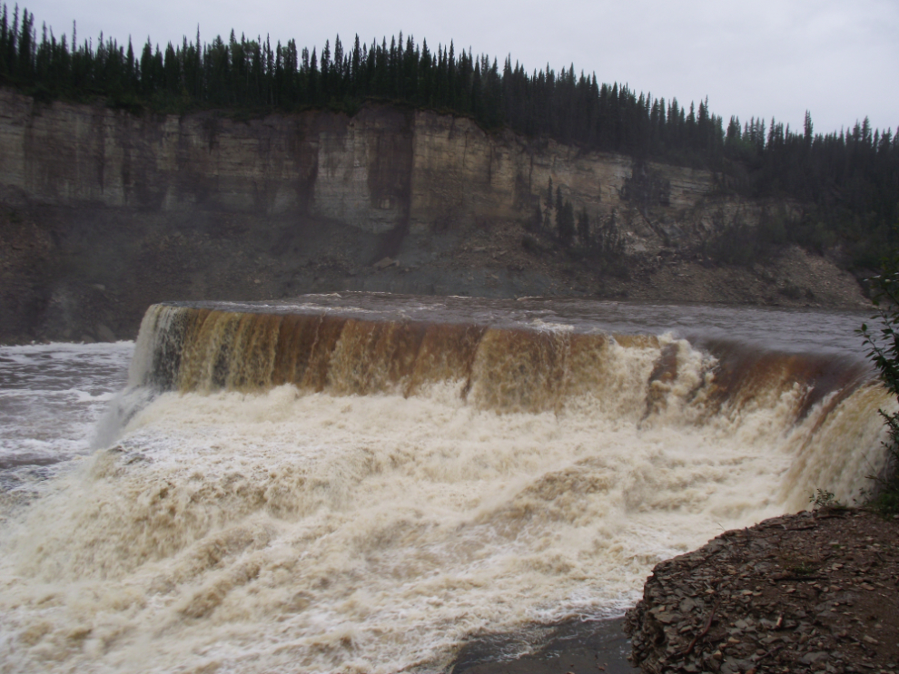
WOW! That’s a 35 meter drop (115 feet).
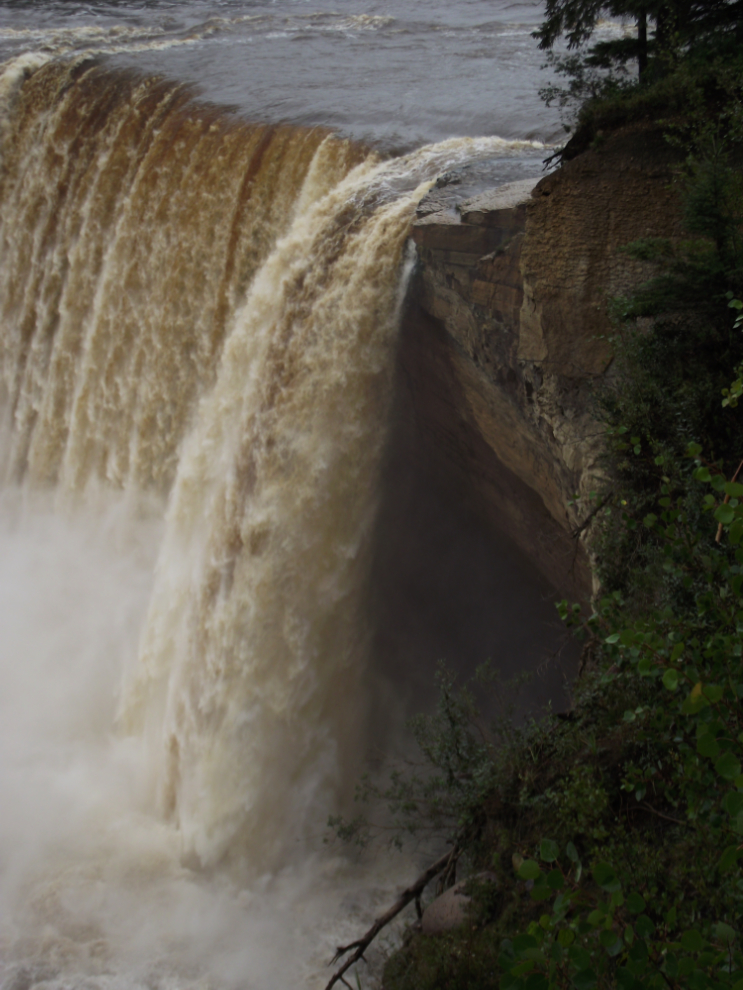
The impressive undercut.
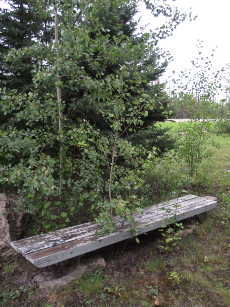
As with all other parks in the Northwest Territories, the one at Alexandra Falls is extremely well developed. This is the “picnic shelter”!
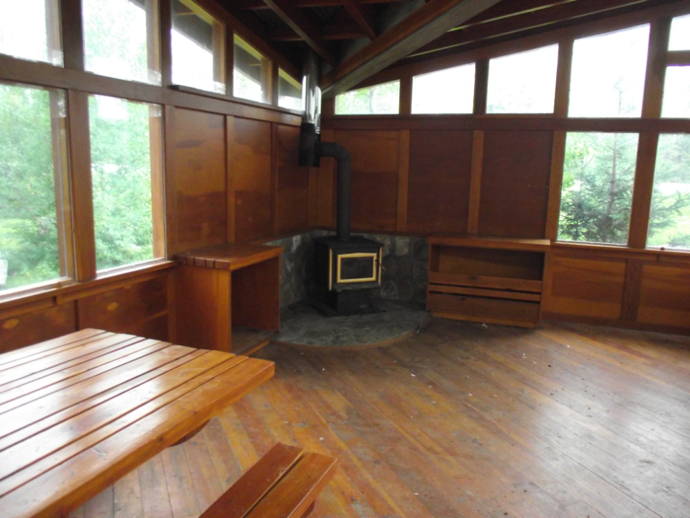
The tree growing up through the bench is a good indication of how much use some of the facilities are getting.
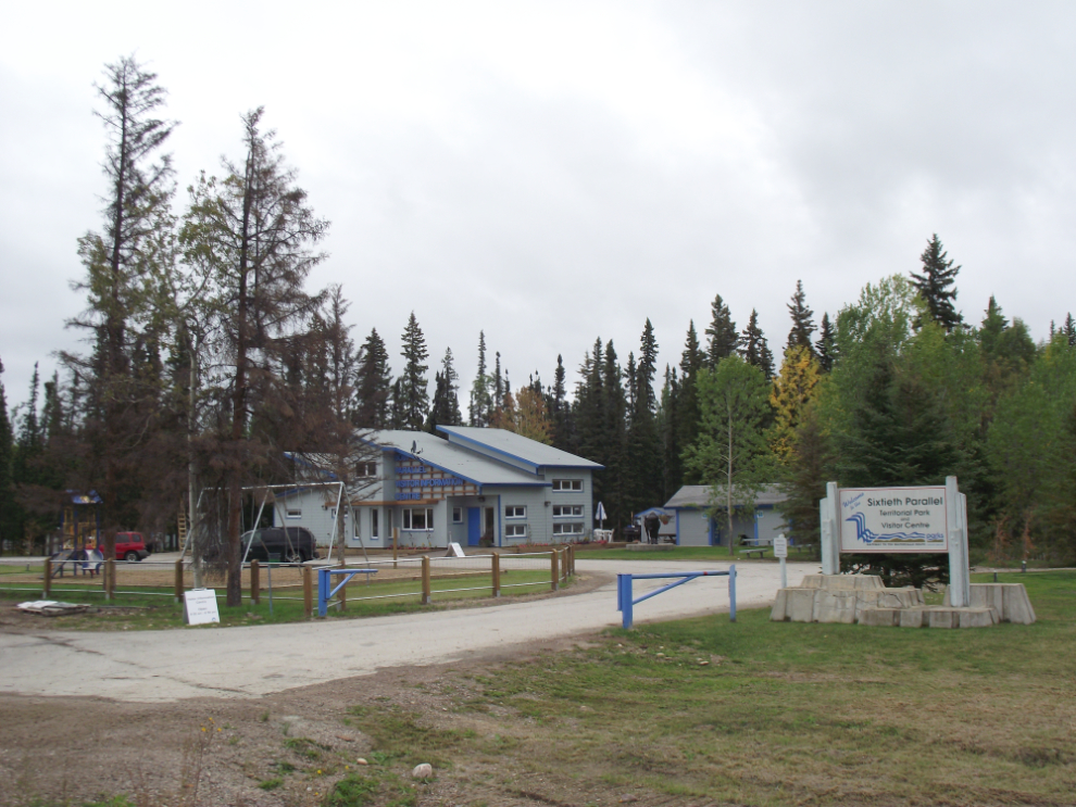
The brand-new visitor centre at the Alberta-NWT border is very impressive, as it should be for $3 million! The plush white leather sitting area seems a bit much, but the displays are excellent and the windshield-washing station is a nice touch.
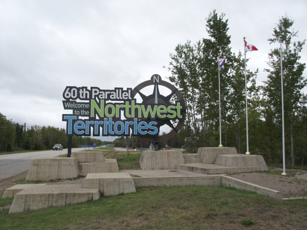
Crossing the 60th Parallel – from Alberta, Welcome to the Northwest Territories! For me, bye-bye NWT 🙁
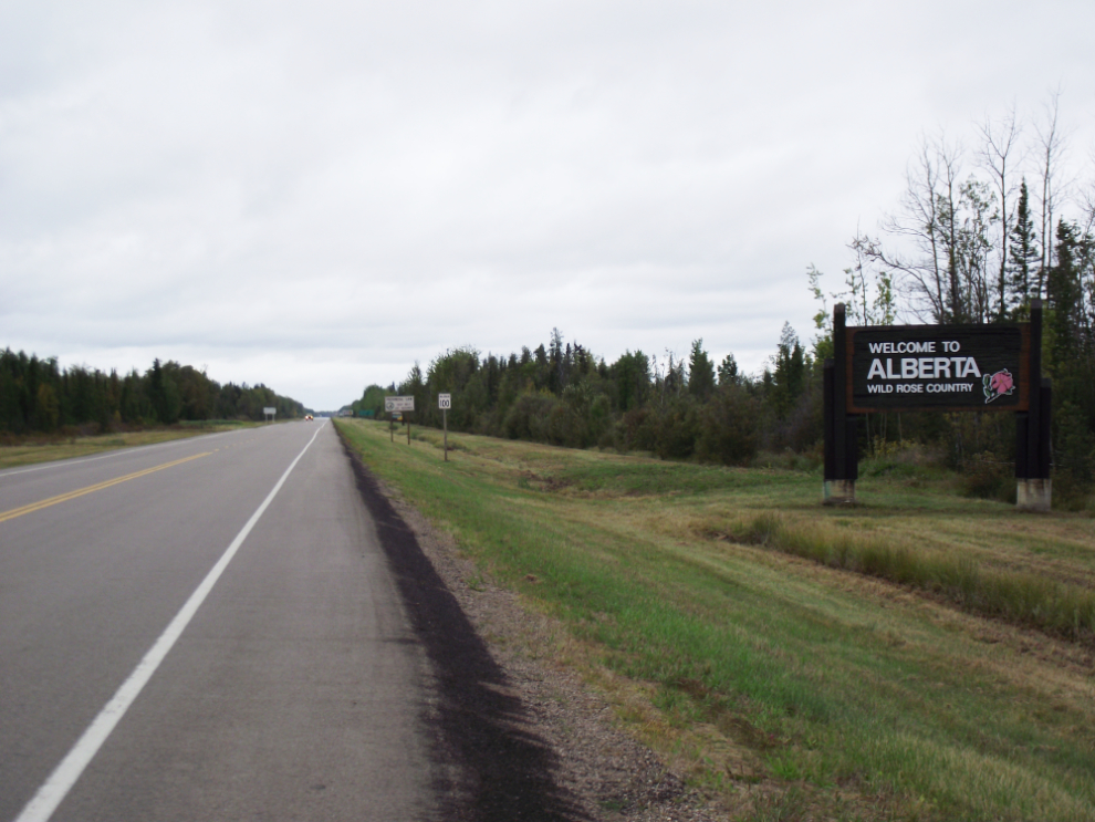
There’s not much to say about the drive south from there – this view is typical.
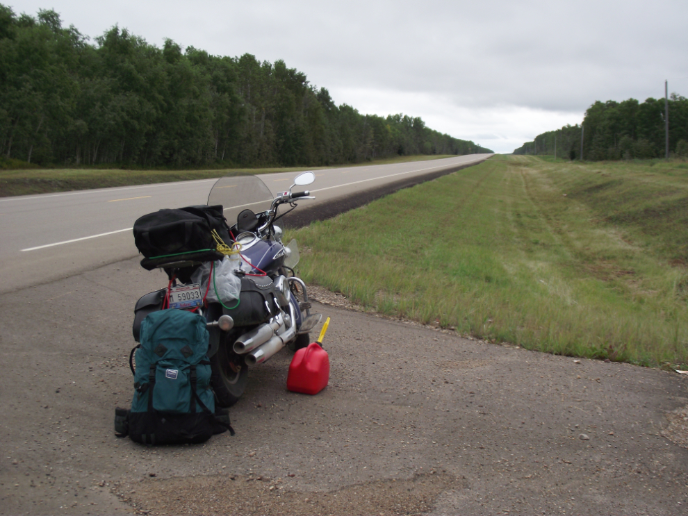
I used my spare gas again due to a missing town. Both the government map and signs along the highway say that the community of Meander River has fuel and groceries. I did see a groceries-and-fuel stop that’s been closed for many years, but none of the 4 houses visible from the highway seemed to be in business of any kind.
I stopped for an A&W dinner at High Level and thought a lot about staying there last night. But my original plan was to make it to Manning, and that’s where I am now, at the Manning Motor Inn, about ready to head out for breakfast.
This trip from Whitehorse to Yellowknife and back is covered in 9 blog posts with a total of 221 photos:
- Whitehorse to Fort Nelson (10 photos)
- Fort Nelson to Fort Simpson (27 photos)
- Fort Simpson to Sambaa Deh Falls Park (18 photos)
- Sambaa Deh Falls Park to Yellowknife (21 photos)
- Exploring Yellowknife (24 photos)
- Exploring the Ingraham Trail at Yellowknife (22 photos)
- From Yellowknife to Hay River (30 photos)
- Hay River to Manning, Alberta (29 photos)
- Manning to Whitehorse (40 photos)