Getting hot: Williams Lake to Spences Bridge
So far on the trip, I’ve been very lucky with the weather. The only 2 days that were really not pleasant were the day of snow at Summit Lake, and a few hours of rain at Bella Coola. Day 13, though – Friday, May 6th – would take us into hot country, with temperatures nearing 30°C (86°F), which would limit outdoor activities for Bella and Tucker in particular.
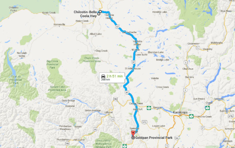
Here’s a map of our easy 268-km (166-mi) route for the day – click here to open a large interactive version of it in a new window.
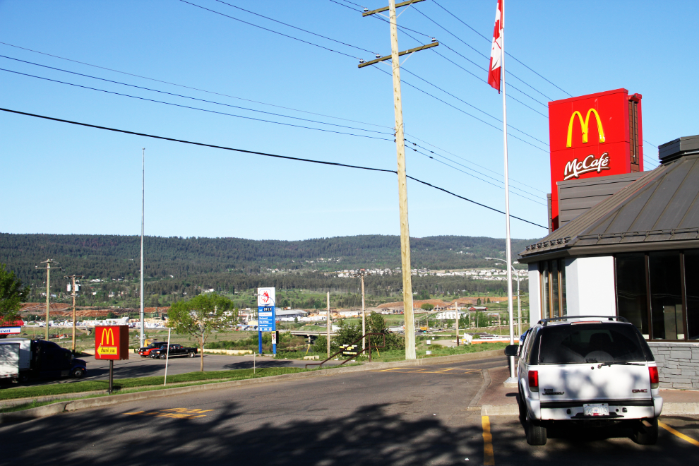
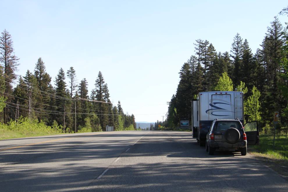
I had a few things to take care of in Williams Lake and just wasn’t into cooking, so I unhooked the Tracker and came into town to start the day off at MacDonald’s. I had spent the night in a pullout along Highway 20 south-west of town. By the time I shot this at 07:30, I was ready for action.
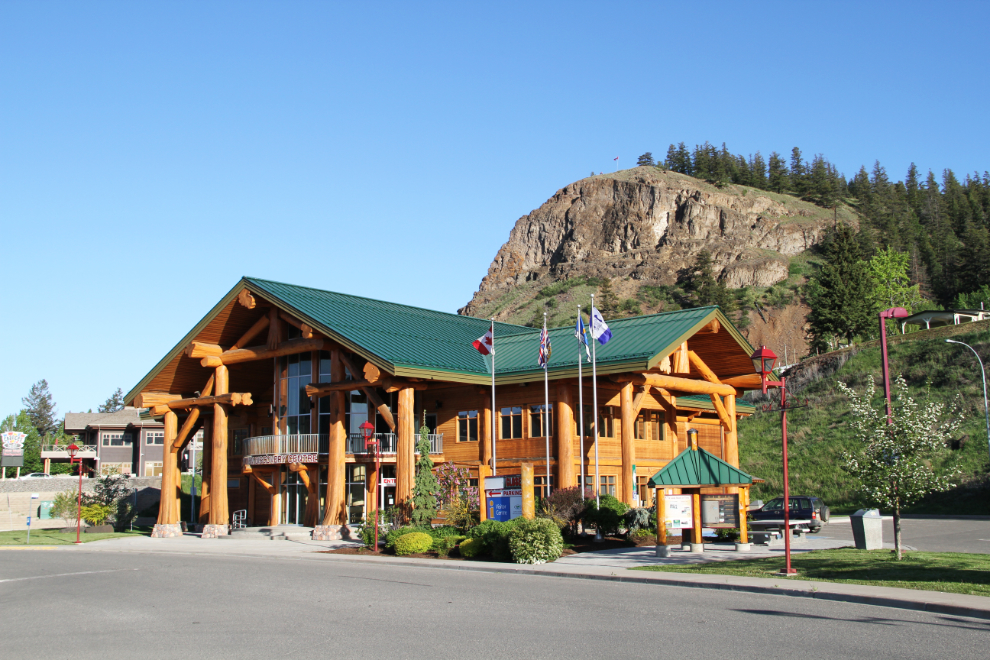
Before going back up the highway to get the motorhome, I had a look at the outside of the gorgeous Visitor Information Centre. Williams Lake has developed quite a reputation for log building construction, and this is certainly a good example.
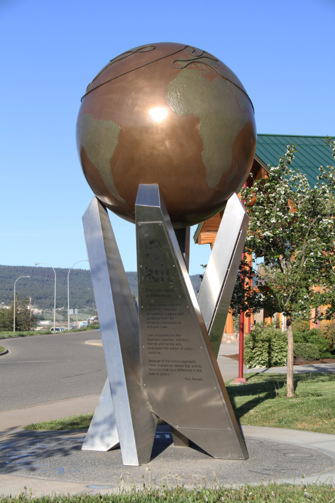
Beside the Visitor Information Centre is this monument to paralympic athlete Rick Hansen, a Williams Lake native best known for his “Man In Motion” tour, an epic two-year wheelchair trip around the world to prove the potential of people with disabilities.
I picked up a few groceries on the way back to the rig, and just before 09:00, I was hooked up again and ready to go.
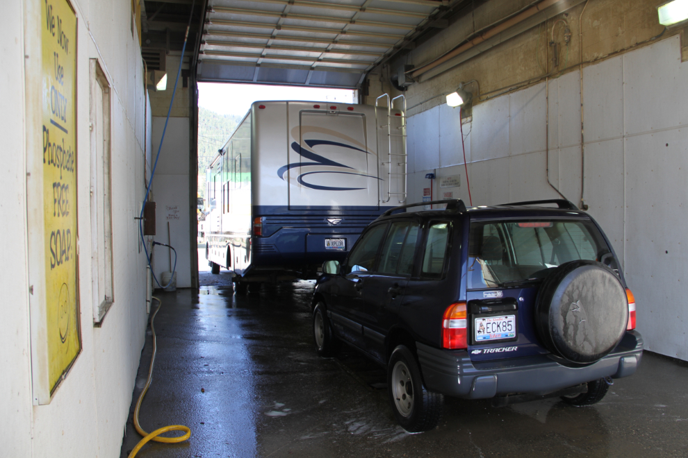
The first stop was a car wash – there would be no more gravel roads for the motorhome for a few weeks. Blacky’s Truck & Car Wash was perfect – the attendant came to the large bay to see if I wanted to set a timer instead of plugging in a whole lot of coins, and even sprayed the windshield with bug-melter. With a $25 bill, at the lower end of what I expected, I was ready for civilization.
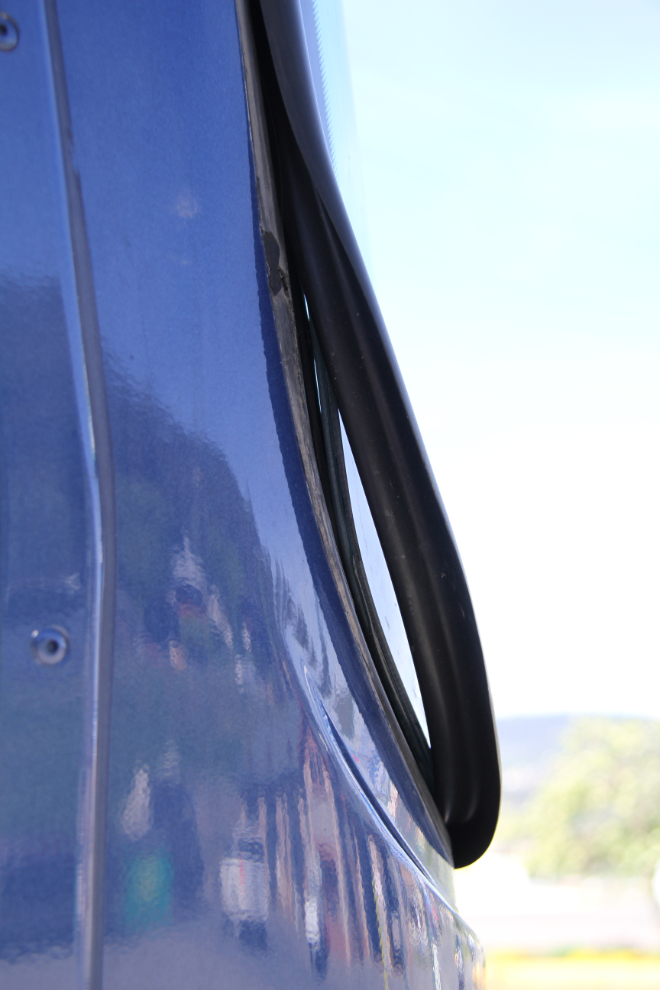
The next stop was at Speedy Glass to get a rock chip in the windshield fixed. The guys there were great – a perfect fix, and they pointed out the incredibly poor job that All-West Glass in Whitehorse had done when they replaced the windshields. There are large gaps in the sealant, and the rubber moulding is coming off. They said that the windshields aren’t going to fall out on the highway, but will certainly leak. The gaps explain the extra wind noise. I phoned All-West, left a message about the problem, and never got a call back.
We were on Highway 97 headed south just after 11:00 (this section is known as the Cariboo Highway), and an hour later, I decided to make a major stop at the 108 Mile House Heritage Site, a site that I’ve only made brief stops at over the years.
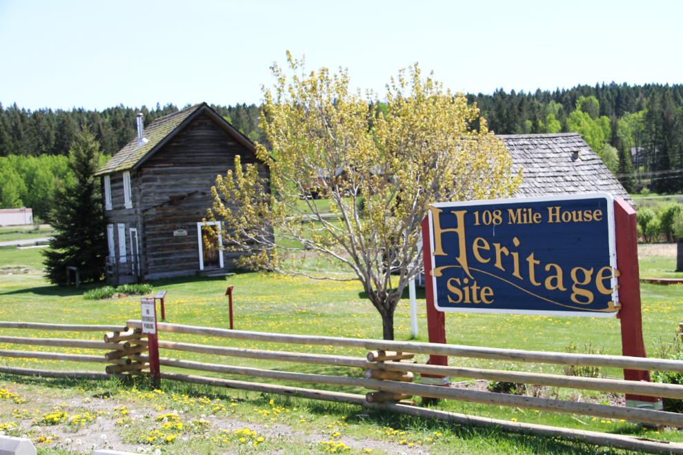
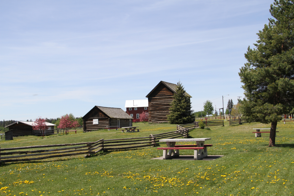
None of the buildings were open, but it’s a lovely site and there’s lots to see, including a beautifully-restored Mack logging truck.
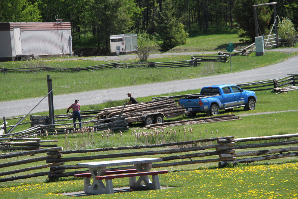
A couple of fellows arrived with a trailer of logs to build or repair some fences.
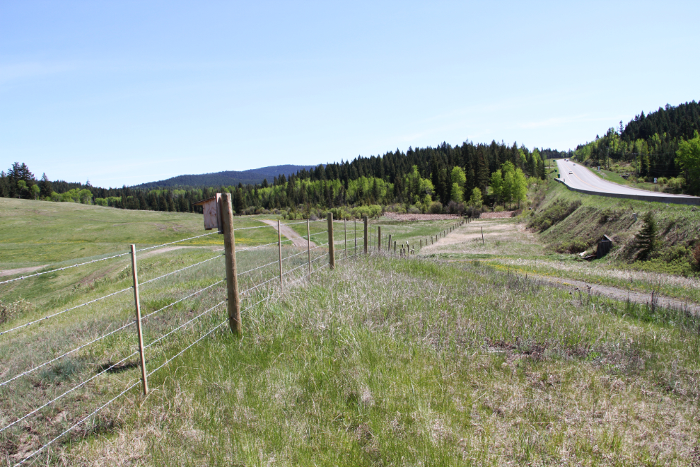
A tunnel under the highway led to some good dog-walking that the kids enjoyed. Going through the tunnel a couple of times was also good exposure for them, to help them be comfortable with new and unusual situations, which they will continue to get plenty of.
I fuelled up at Cache Creek, where going straight south changes the highway number from 97 to 1. A few miles further south, I decided to make a 10 km detour to Ashcroft, a town I hadn’t been to in a few decades. It was now 3:15 pm, but far too hot to do anything, so I just looped around and headed back to the main highway.
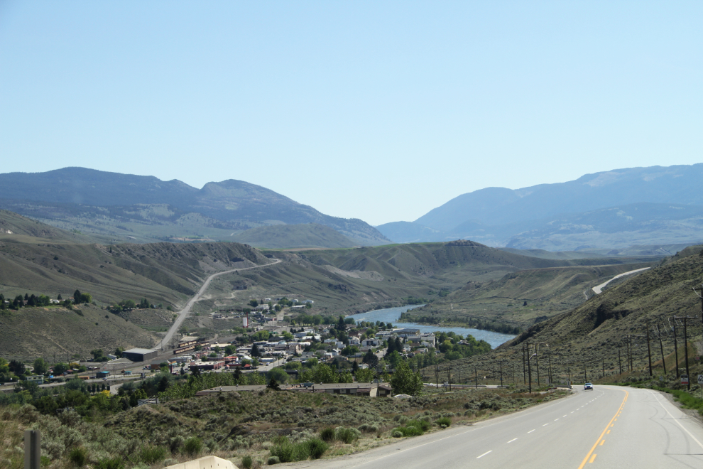
The rugged valley just north of Ashcroft demanded a couple of photo stops.
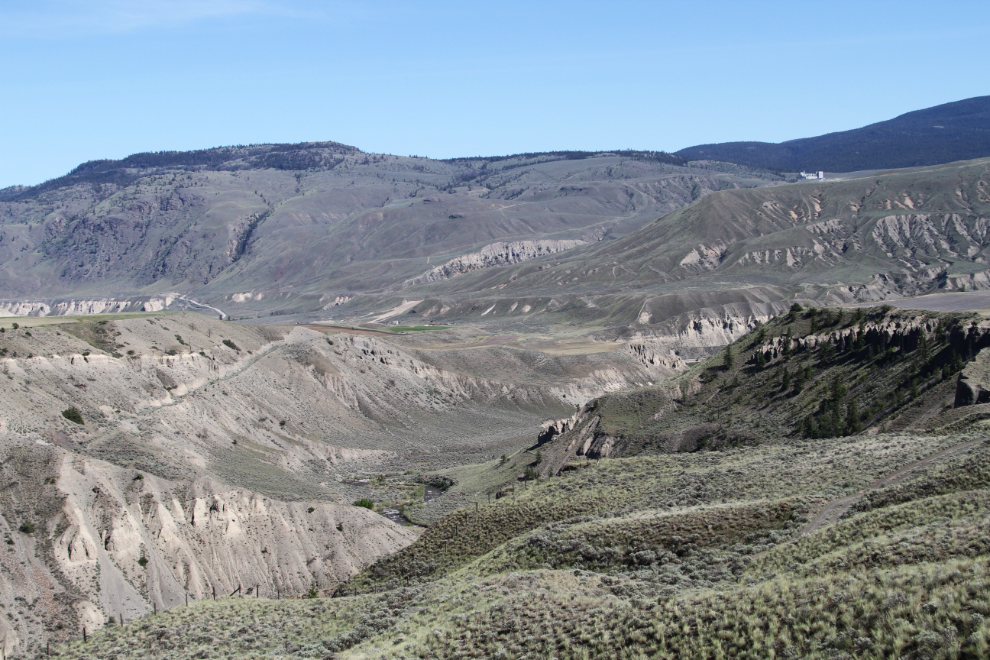
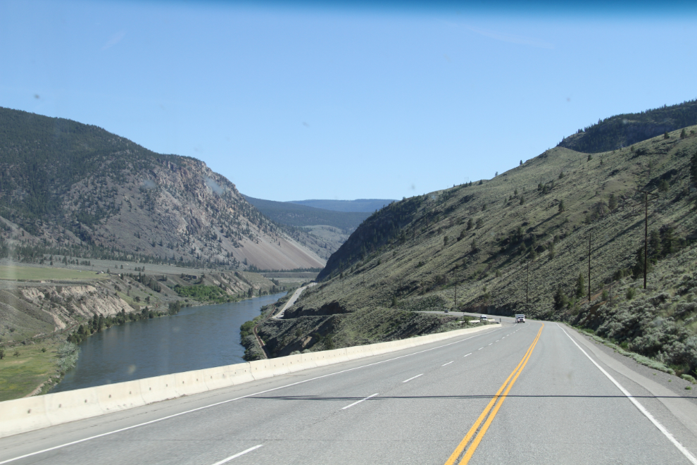
Southbound on Highway 1 along the Thompson River.
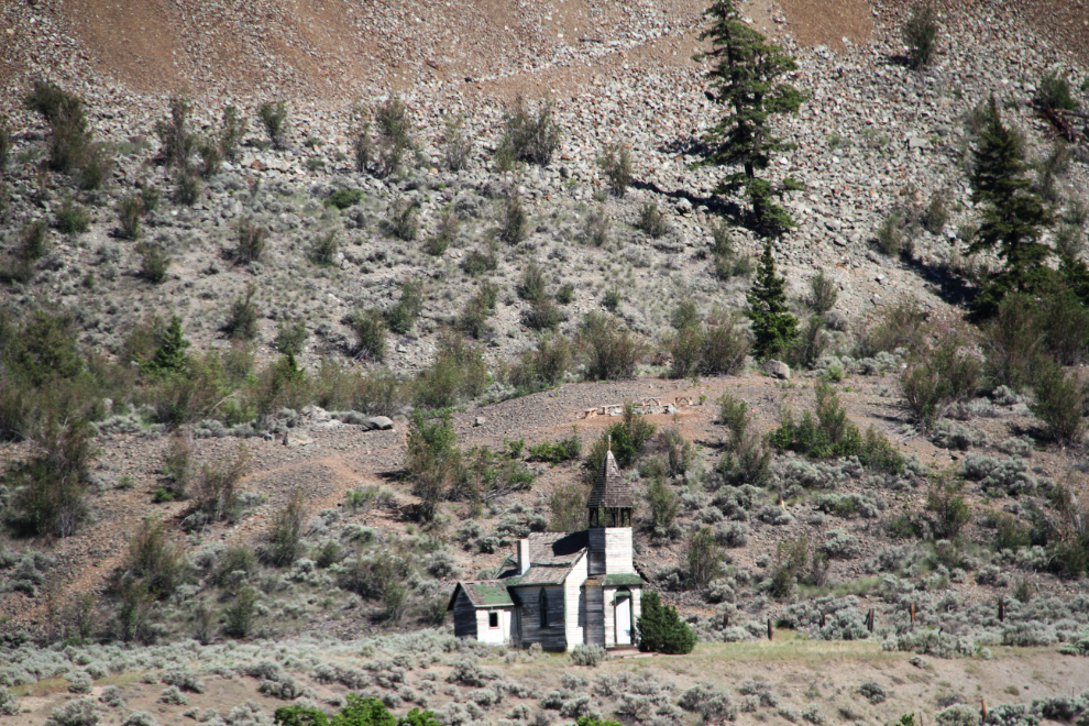
The backroads exploring opportunities in this country are endless, and I used to spend a fair bit of time up here with my Chevy Blazer in the late ’70s. This long-abandoned church is on the opposite side of the river from the highway.
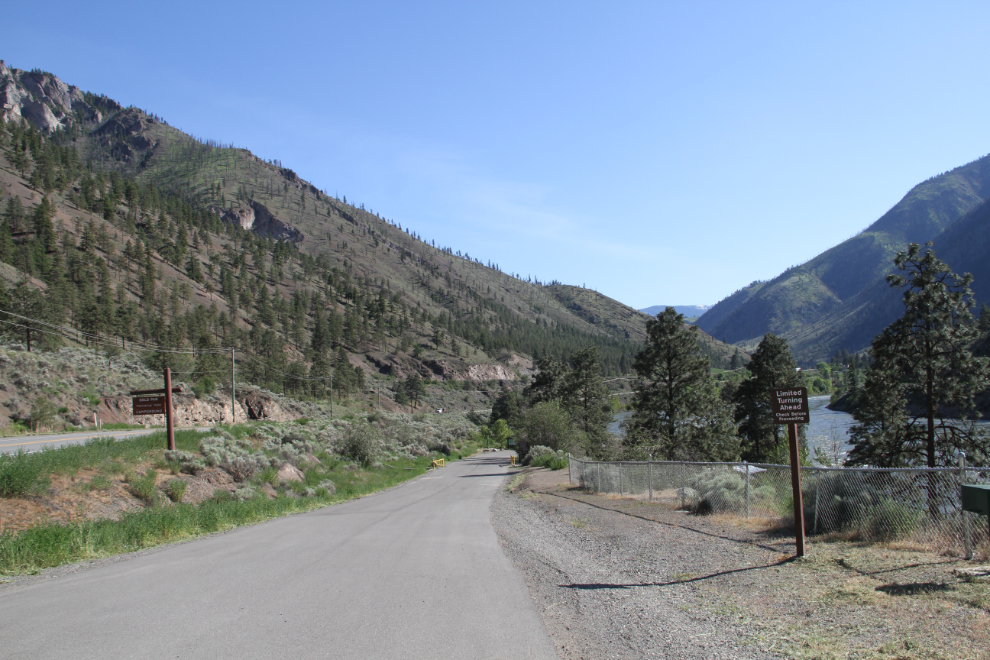
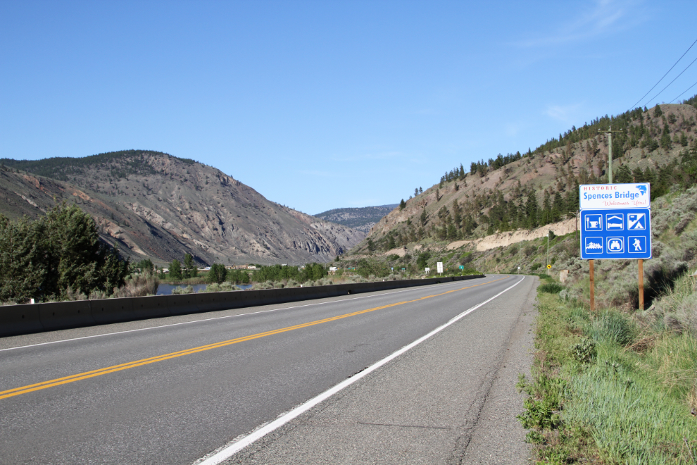
I had a few options in mind for overnighting, and the timing worked out for Gold Pan Provincial Park 10 km south of Spences Bridge to be the choice. The sign on the right of the access road says “Limited Turning Ahead. Check Before Proceeding”. I didn’t check because I knew that I could deal with whatever showed up.
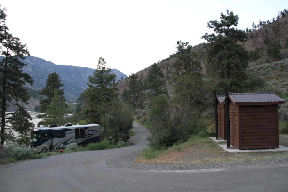
The turn at the end of the line of campsites was indeed far too small for me, so I disconnected the Tracker to make the turn, and went back to site #3. Bringing a trailer down, or a motorhome much larger than mine, would present much more of a challenge. A while after I set up in site #3, the people left site #2 and I moved because it offered more shade.
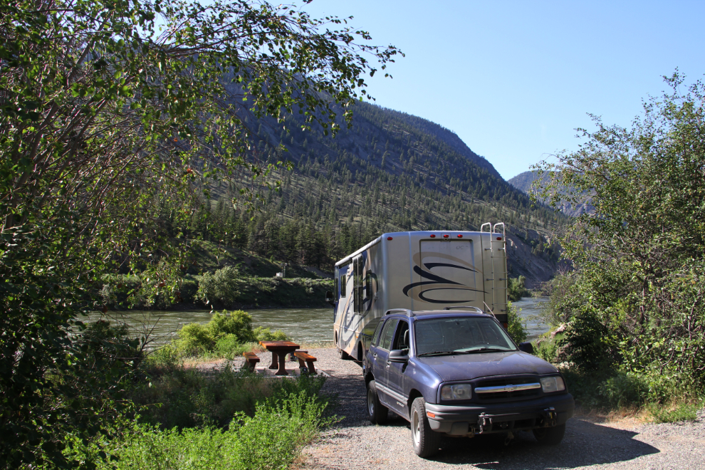
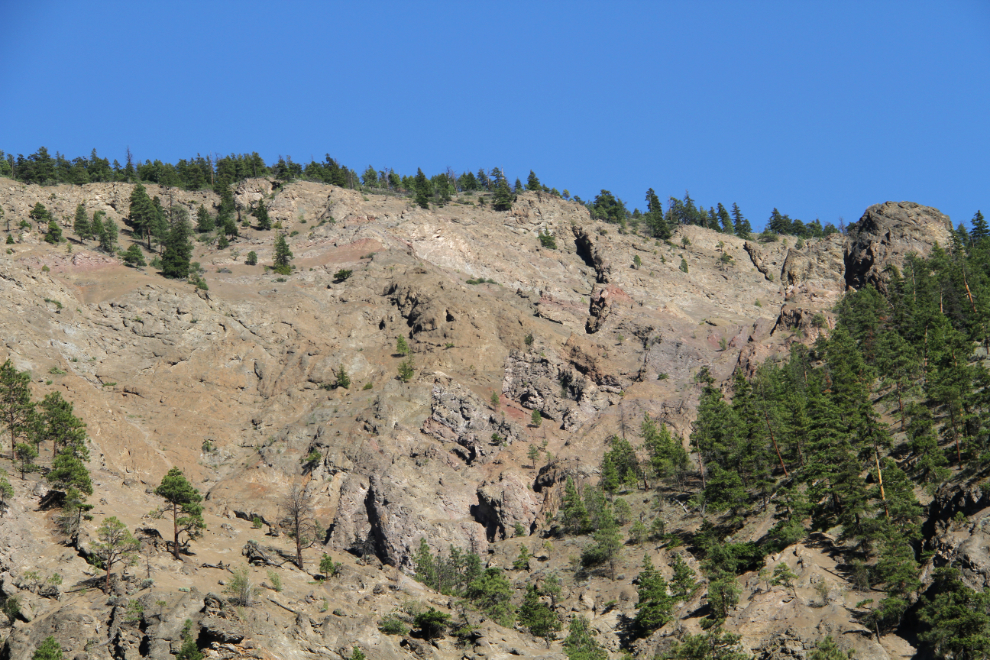
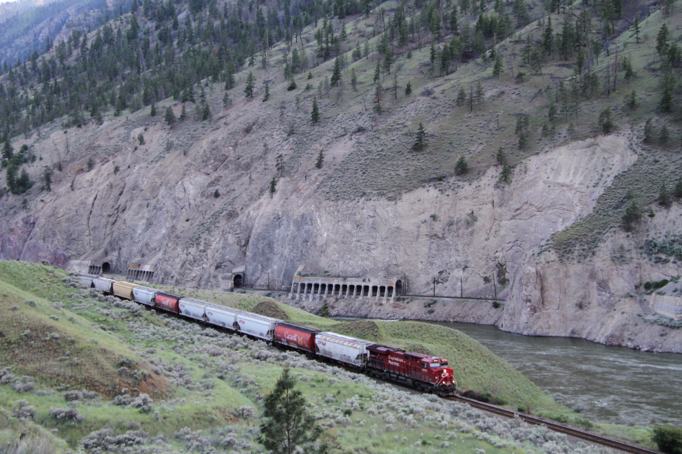
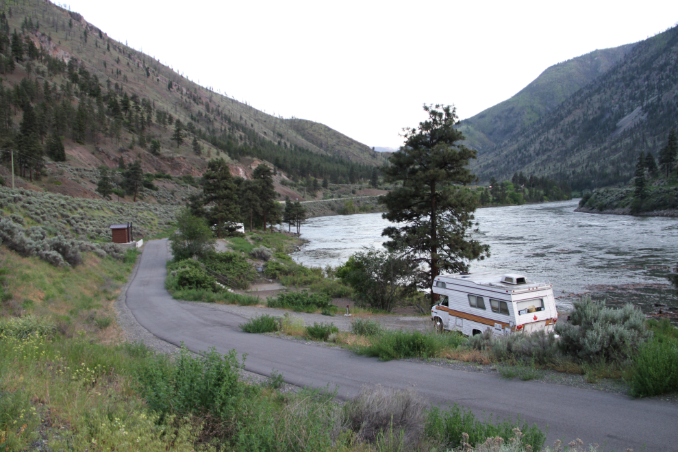
With the Thompson River at full flood a few feet in front of us, these impressive cliffs towering above, and the Trans-Canada Highway and both national railways running through the very narrow valley, there was a lot going on here, but it was all good.
The temperature was nice at the campsite, so I left the kids there and went back up the highway for a short reconnoiter of the Spences Bridge area.
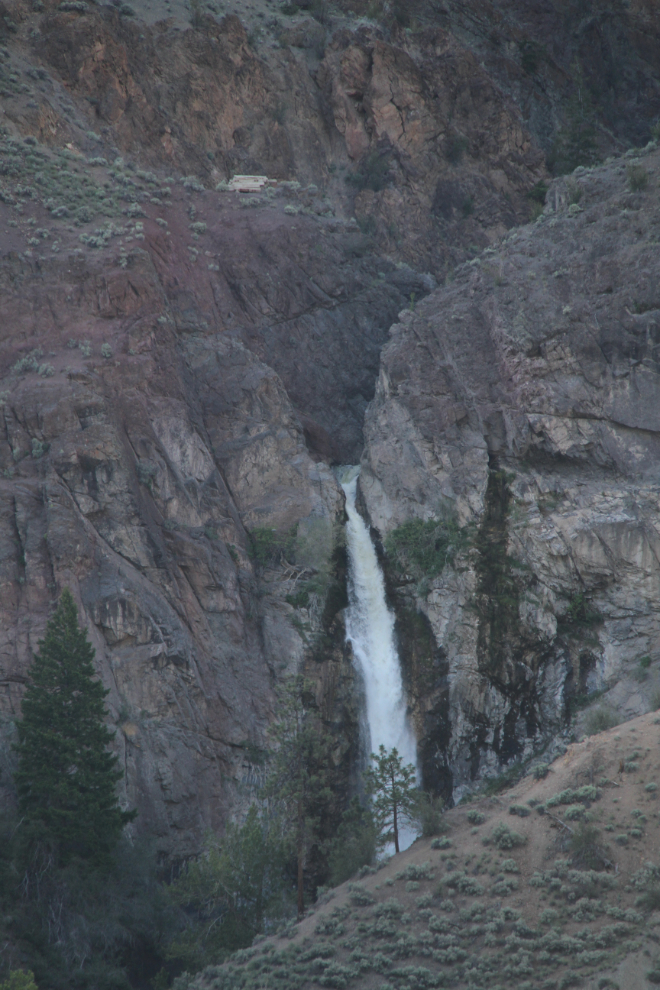
This waterfall, Murray Creek Falls, would be the main target for the next morning when the light was good.
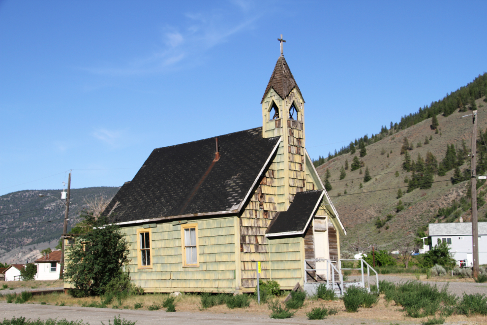
St. Michael and All Angels Anglican Church (a.k.a. Nlak’pamux Church), built about 1905, is the other main feature that stops many photographers in Spences Bridge. It appears to be abandoned.
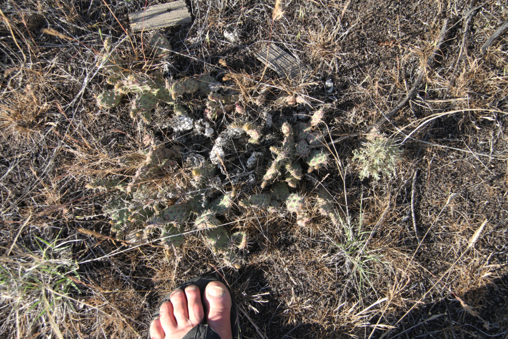
I just about stepped on that bugger while focussed on the church and cemetery. It’s a desert – there are cactus and rattlesnakes, dummy! 🙂
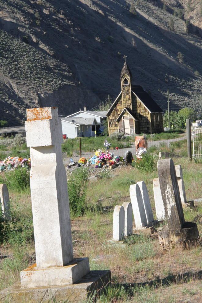
The cemetery and church.
When highways get re-routed, some people’s lives get changed dramatically, and the old sections of highway can produce some wonderful photo ops.
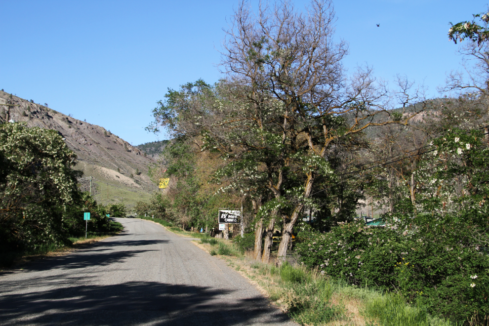
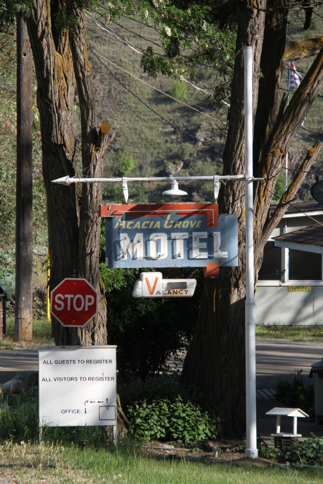
This 1950s motel, the Acacia Grove Motel, is a good example of that sort of change – the sign in particular is classic. The four motel blocks have been re-sided, but their basic design is also classic highway motel. The RV park that’s been added actually looks very nice.
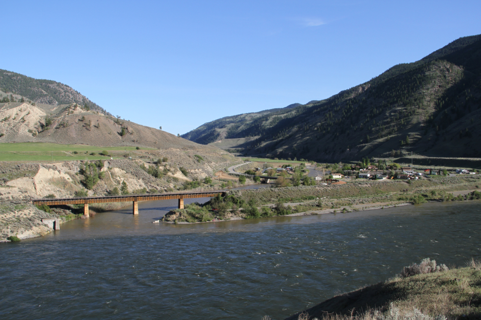
I drove as far as this view of Spences Bridge and the Canadian Pacific Railway bridge before turning back.
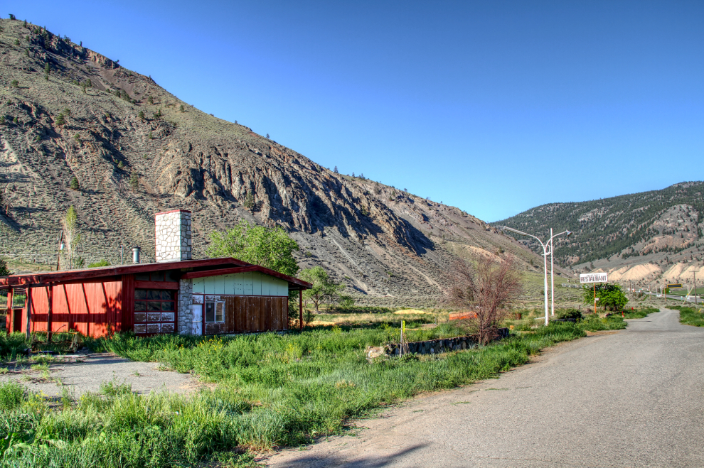
The Shell station in Spences Bridge has been closed for many years, the Sportsman Restaurant next door (originally the Sportsman’s Lodge, I think), once a significant business in this region, closed and then burned many years ago.
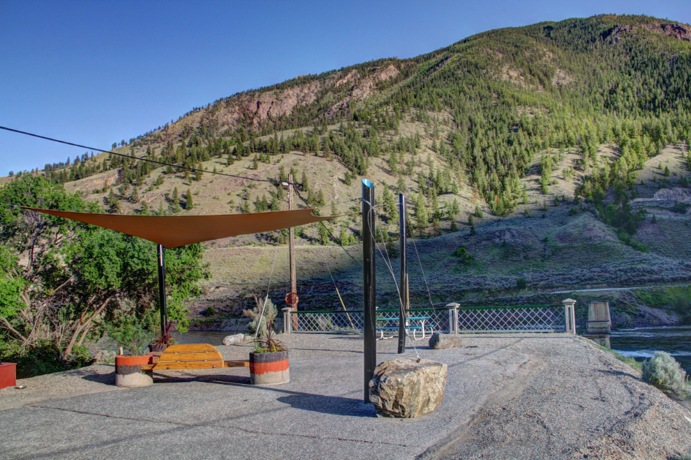
Down along the river, the approach to a bridge that’s been removed is now a little park.
Driving back to the RV at 6:45, I stopped for a few photos of this Canadian Pacific train as it went by. The Canadian National line with all the tunnels is on the far side of the Thompson River.
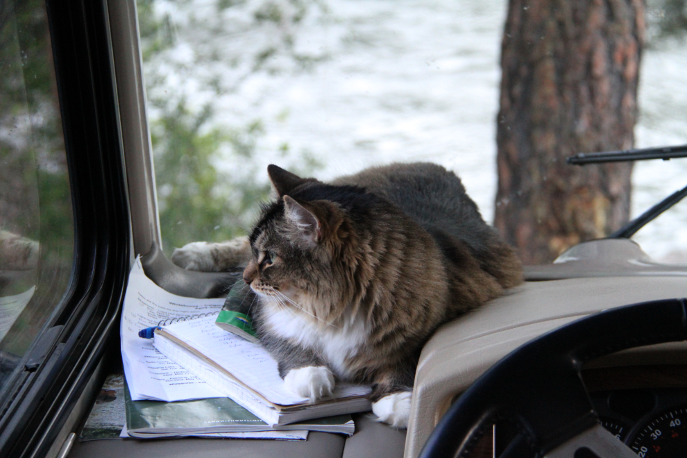
We had a really nice evening at the park. Molly had a few birds and a squirrel close by to keep her amused.
The rig in site #2.
The other half of the park, which only has 14 campsites total.
The plan for the next day was to hike Murray Creek Falls with the dogs, and then make a few stops through the Fraser Canyon before setting up camp at an RV park in Chilliwack for a few days.
