Spences Bridge, Hells Gate, and more…
When Day 14 began (Saturday, May 7th), I knew that my hopes for the day on the lower Thompson River and in the Fraser Canyon as written in my notebook were overly-ambitious. I’d have to high-grade the possibilities as the day went on.
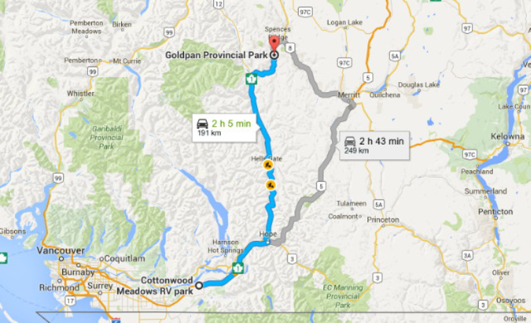
At 191 km (119 mi), the day’s mileage from Gold Pan Provincial Park to the Cottonwood Meadows RV Park at Chilliwack would be simple. Click here to open a large interactive version of the map in a new window.
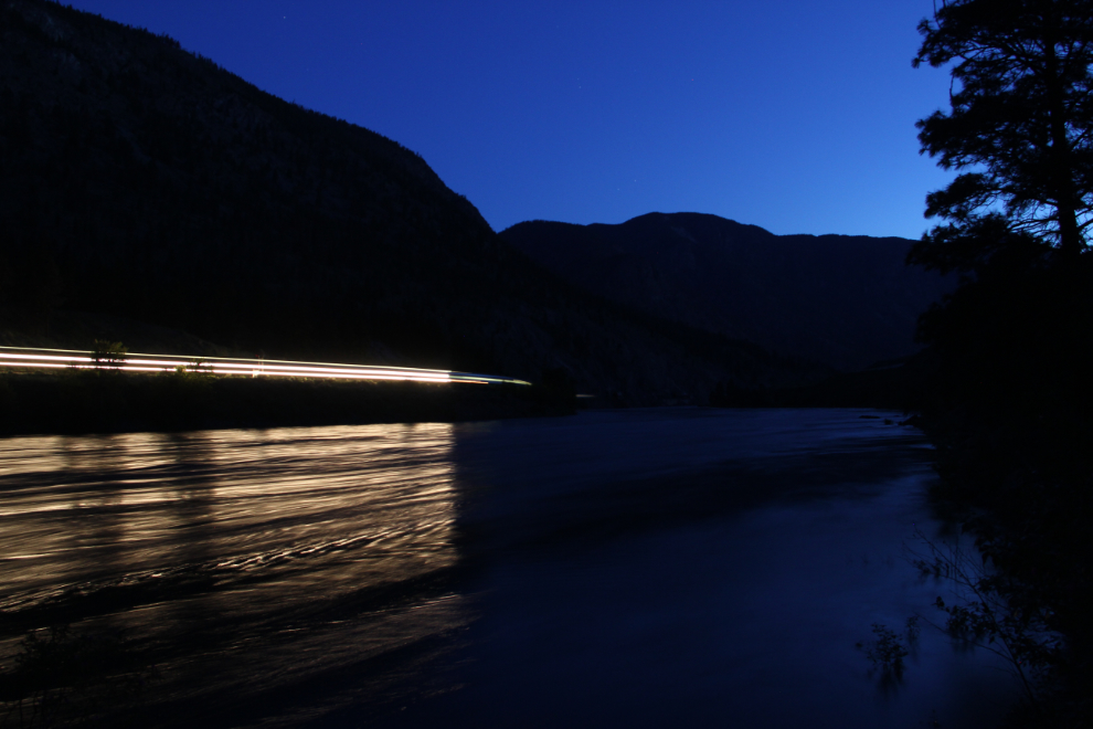
My day’s photography got off to a very early start when Tucker got me up just before 04:30 so he could go outside. A train with a lot of lights on it went by on the CP Rail tracks above us, so I set up the tripod to see what I could get on the CN line across the river. I lucked into the VIA Rail train, and one of the 10-second exposures I made came out this way.
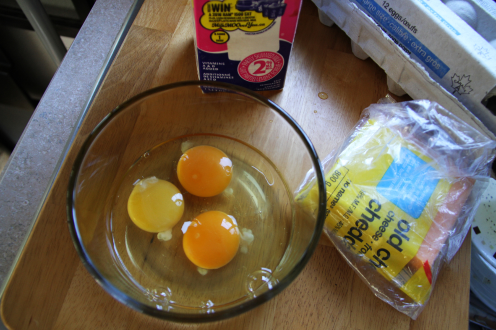
My last 2 eggs from Lewes River Farms near Whitehorse, and one of the typical “factory” eggs I’ll be using until I get home again in a few weeks.
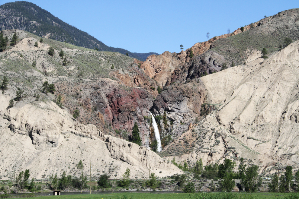
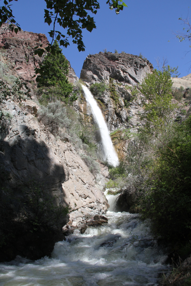
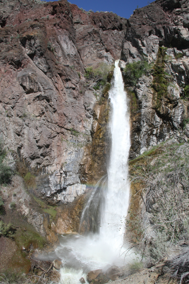
We wouldn’t be back to the park until after the 11:00 checkout time, so I moved the motorhome up to the picnic area on the highway, and drove back to Spences Bridge in the Tracker. The first destination of the day would be Murray Creek Falls, which was lit up beautifully when we reached Spences Bridge at 10:15.
The route to the waterfall starts on Thompsonview Avenue, which takes you south along the river from downtown Spences Bridge.
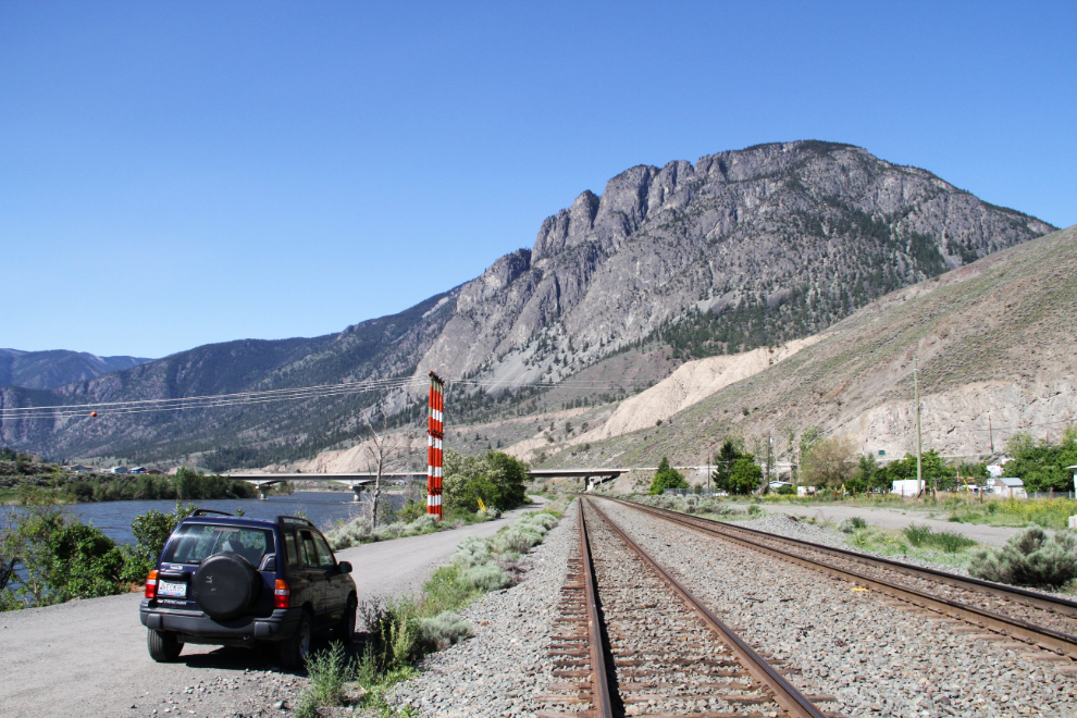
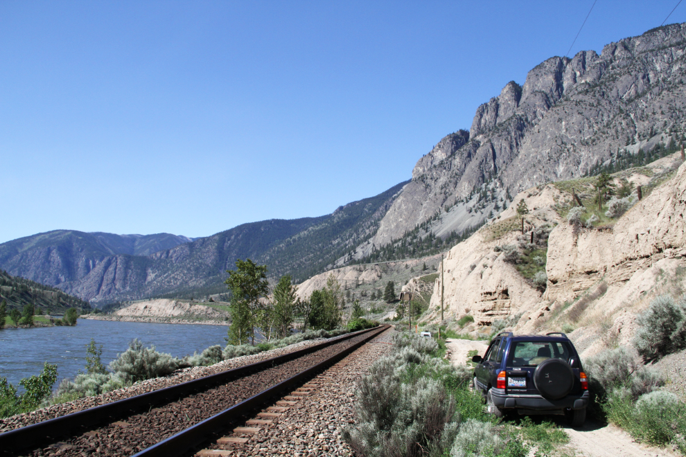
There’s very limited parking along the sideroad leading to the trail to the falls, and 3 vehicles were already there (that was a surprise!), so I went looking for another spot, eventually driving into tall grass.
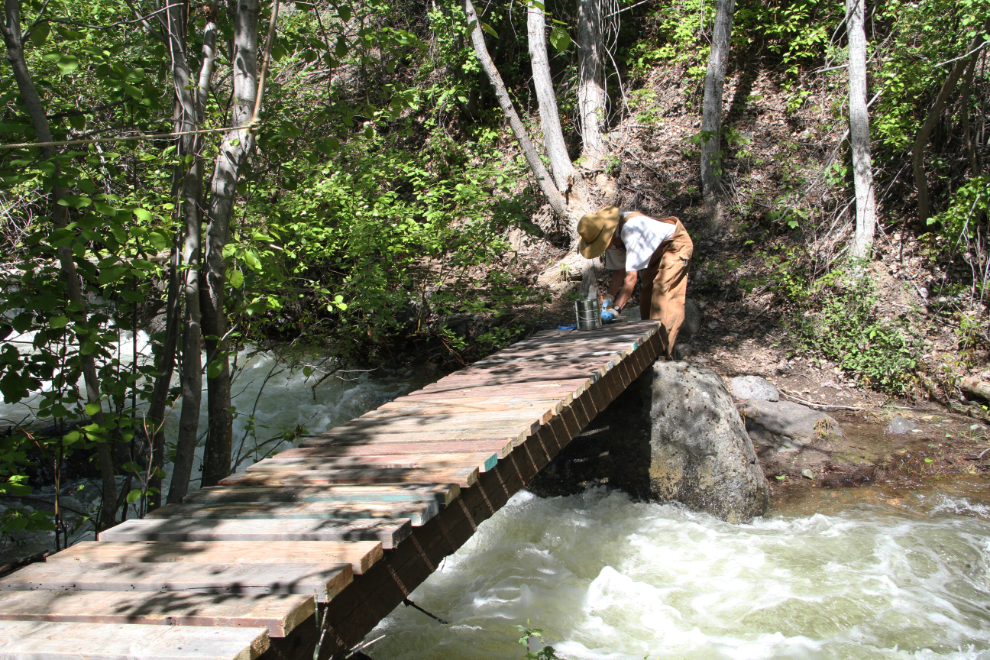
There were 3 or 4 people working at what appeared to be a pumphouse for the town’s water supply, and I chatted briefly with Dwayne, who was rebuilding a little bridge across Murray Creek. He told me that a group of locals keeps the trail and other facilities around Spences Bridge in good condition.
According to the World Waterfall Database, this drop is 123 feet, and there’s another 38-foot one above it.
A very steep trail led up the side of the chasm to the best view of the waterfall, and beyond…
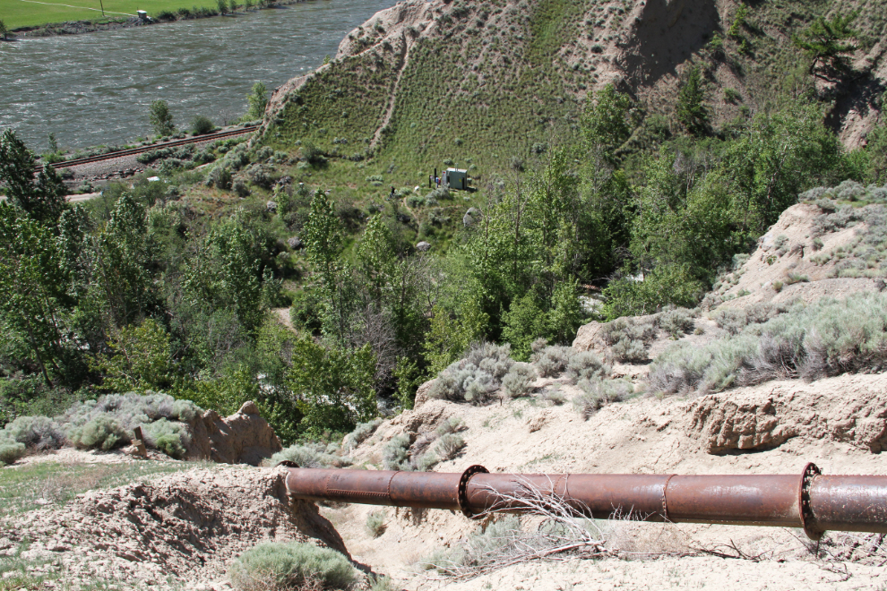
… to part of the old water-supply system. I’m not clear on how this tied into the creek, but I expect it’s this high to provide pressure for the system with no pumps.
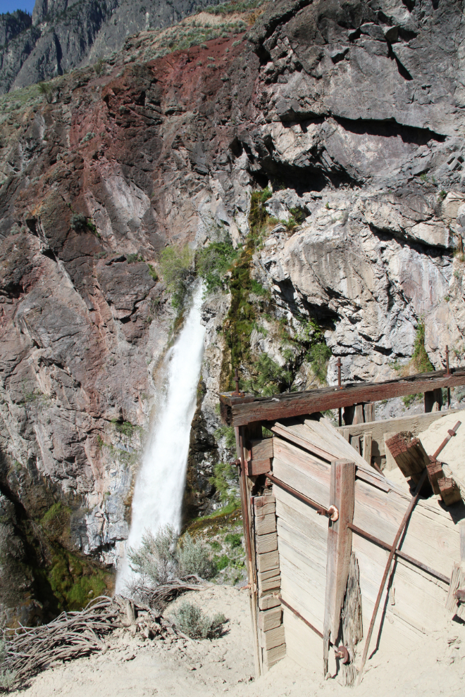
These pipes lead from the collection box above to the ruins of a concrete building below. The small modern pumphouse can be seen at the upper centre of the photo.
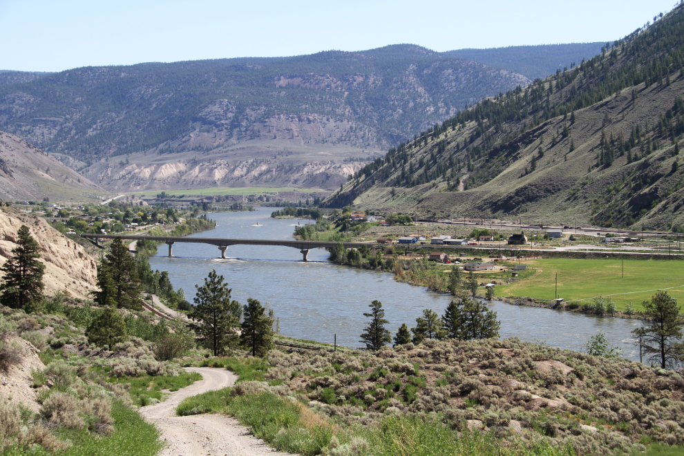
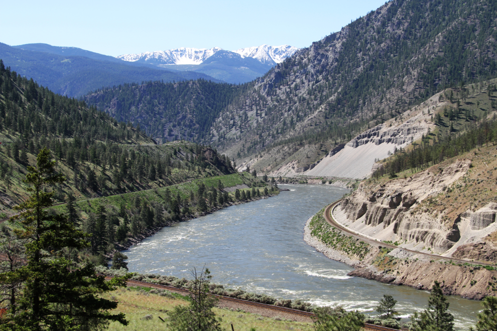
We didn’t spend very long on the trail, but drove up a steep road alongside the creek that I thought might lead to the canyon above the falls. I missed the overgrown foot route to the area I wanted, and I wouldn’t take the dogs into cactus and tick locations like that anyway, but the road did provide some wonderful views.
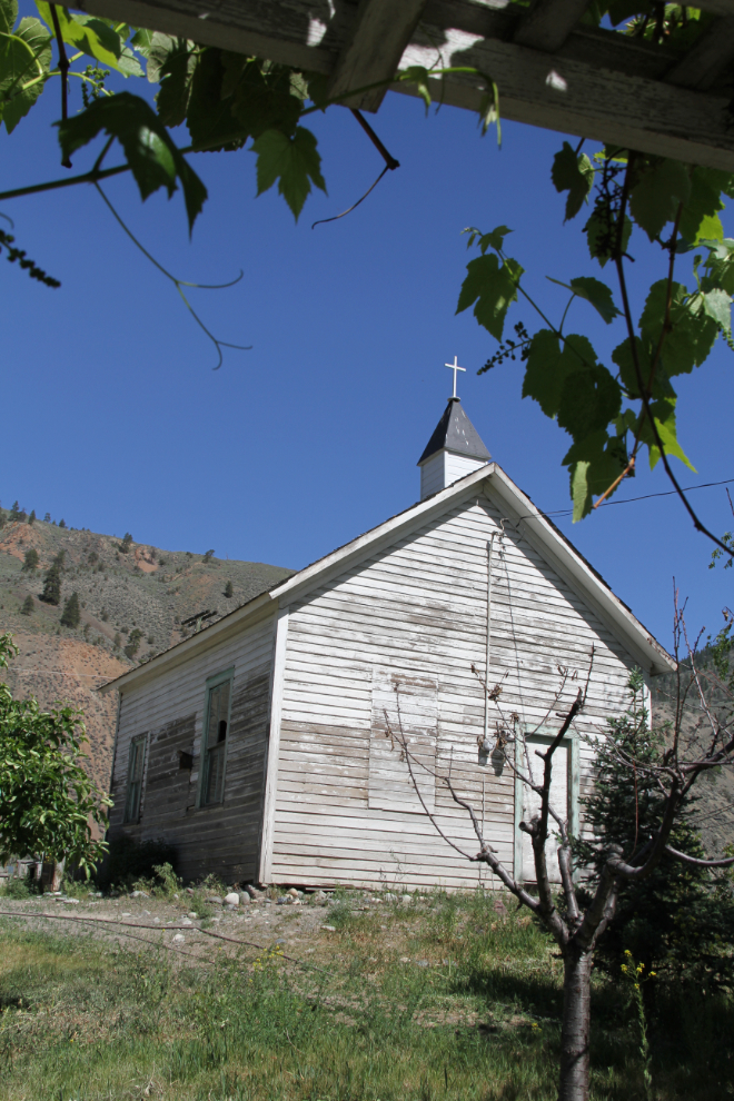
On the drive back to the highway, I had a quick look at this long-abandoned church in downtown Spences Bridge.
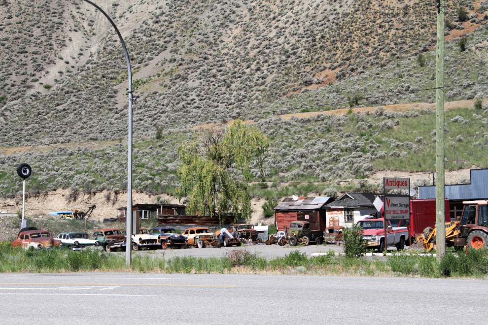
The “Antique Store” (it’s the Vulture Garage – cool name) in Spences Bridge has quite a collection of cars and trucks that have clearly been pulled off area ranches. There’s actually some interesting vehicles there. The owner was sitting outside in a chair – I can’t imagine that he gets disturbed very often.
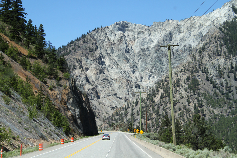
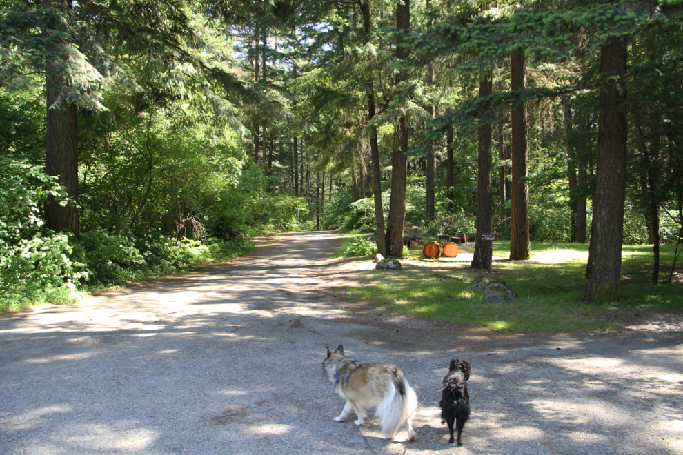
We were back at the motorhome by about 11:30, and soon were hooked up and heading further south on Highway 1. I made a quick stop for a few stops here just before noon.
Nearing Lytton, where there are a couple of sites of interest on my list (the Fraser River catwalk, and Caboose Park). I had to save them for another visit, though – the day was already too far advanced.
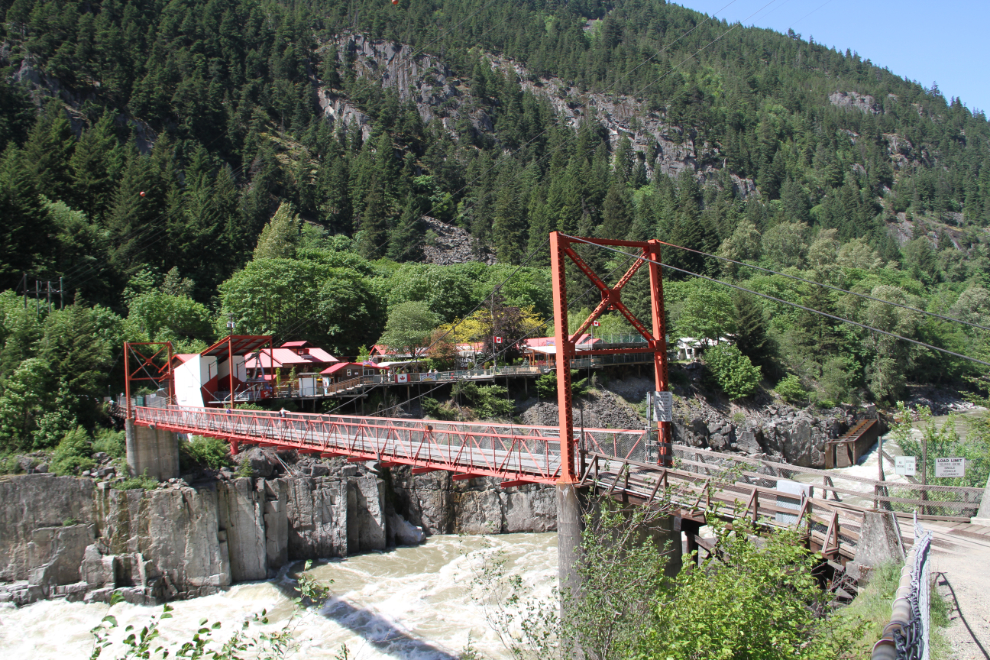
The Hell’s Gate Airtram was the primary not-to-be-missed site of the day. I might have walked down to the river a few decades ago, but I’m pretty sure I’ve never ridden the tramway. For $20 senior rate, the 950-foot drop is pretty awesome.
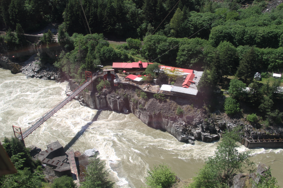
About to dock at the lower tramway station.
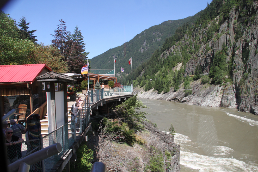
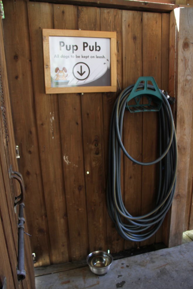
Many people walk down to the river, and dogs are very welcome, as shown by the Pup Pub. Hikers can ride back up for $14 including the dog 🙂
I walked up the trail a few hundred feet to get some photos of the bridge, and the railway tunnel.
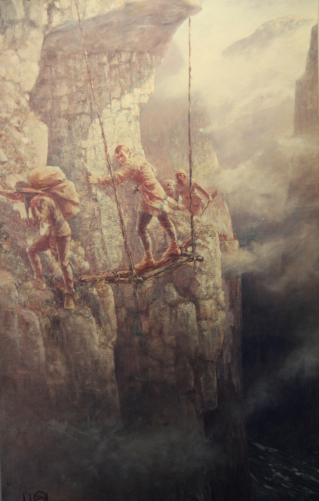
The interpretation at the centre is very good. This famous painting of Simon Fraser making his way through “the gates of Hell” is quite incredible by virtue of being fairly accurate.
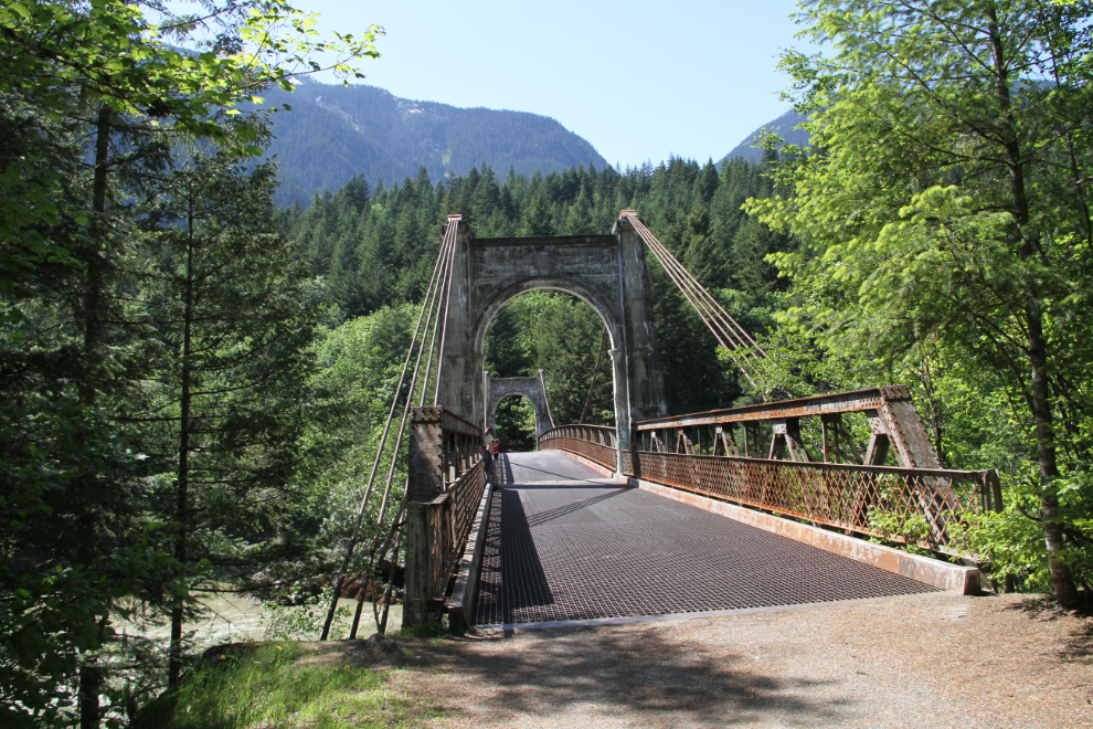
I spent exactly an hour at Hell’s Gate, then a few minutes later stopped at Alexandra Bridge Provincial Park and took the dogs for a walk along the old highway. The parking lot is still blocked off, I think until the Victoria Day long weekend coming up in a couple of weeks.
I had big plans there, without thinking about the fact that the open-grate deck on the bridge was impossible for dogs to walk across. DOH!
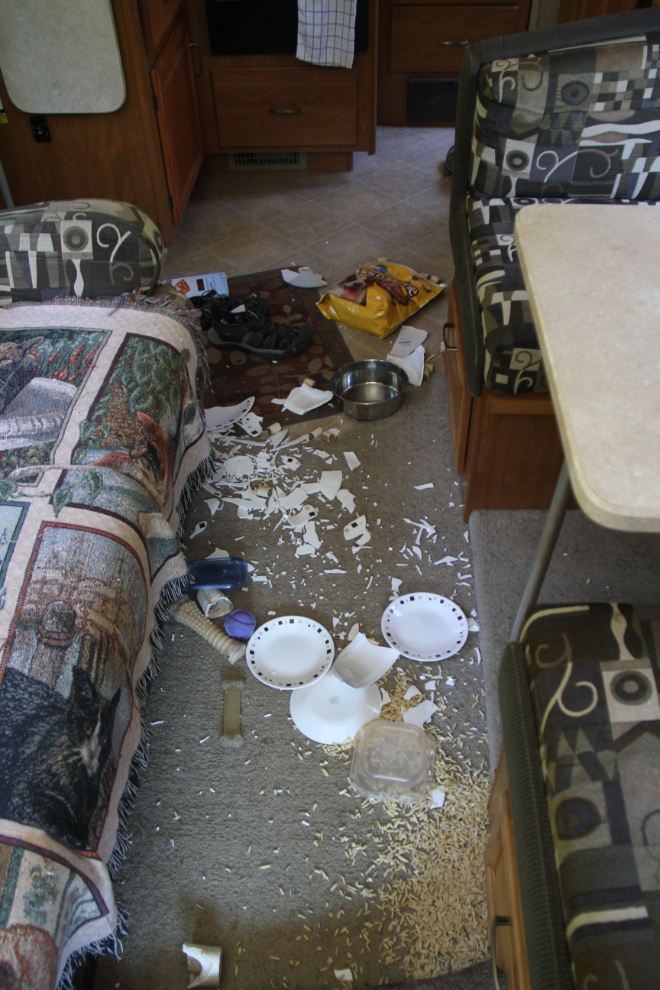
As I pulled away from Yale, our day really went to hell. I haven’t been sure that I should even tell you about this, but it’s very significant to me, so here is a very short version of the story. As I was getting back up to highway speed from the 50 kmh zone, a deer suddenly was on the shoulder and then in front of me. I slammed on the brakes, but hit her. This photo shows the inside of the rig, with smashed dishes and spilled food. Bella and Tucker were scared barkless. I walked back along the highway, and a young woman from 100 Mile House was with the badly injured doe. She was trying to strangle the deer to put her out of her misery. I went back to the rig, got a knife, came back and slit the deer’s throat. She died quickly. Nicole and I comforted each other as much as we could in this horrible situation, and continued on our ways.
Tucker insisted on riding the rest of the way to Chilliwack on my lap. Bella wanted to be at my feet, and I had to keep pushing her away, and pulling her up to my side to comfort her. An hour or so after the accident, we were settled for the dogs. The dogs are okay now – me, not so much.
As I write this, it’s Tuesday, May 10th – Day 17. I’ve been visiting friends from high school and the Surrey post office, not doing any touring/exploring. I’ll be having one more breakfast with a friend shortly, then we’ll be heading east, with the destination for the night unknown – the Manning Park area somewhere, probably.