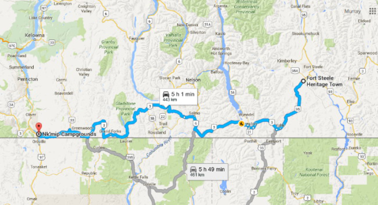
The Crowsnest Highway from Osoyoos to Fort Steele
Neither of our overnight locations as we drove the Crowsnest to Fort Steele on Days 28 and 29 were the ones I’d planned on, and the weather was mostly awful, but it was still a beautiful drive.
On Day 28 – Saturday, May 21st, we only drove 160 km to a rest area north of Christina Lake, then on Sunday we went 283 km to Fort Steele. Click here to open an interactive version of the map in a new window.
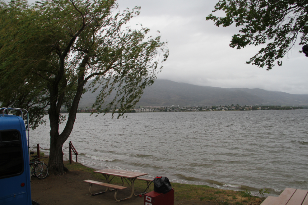
Saturday started off cold (8°C/46°F), windy, and wet.
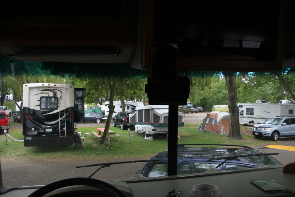
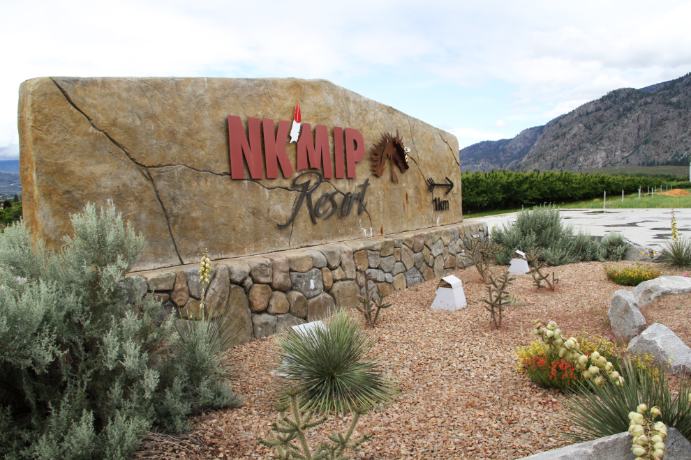
Right at 11:00, we said good-bye to Nk’mip. While we enjoyed the campground, we didn’t have a good overall experience there. A guy who camped beside us had been bitten – he showed us the significant bite marks – by a dog at the first site he set up in, then the next day, Tucker was attacked by other loose dogs. It really upsets me that dogs/owners like that make all of us with dogs suspect.
I spent quite a while at the Osoyoos Desert Model Railroad during my last visit to Osoyoos, but Cathy hadn’t seen it yet, so we went over there before leaving town.
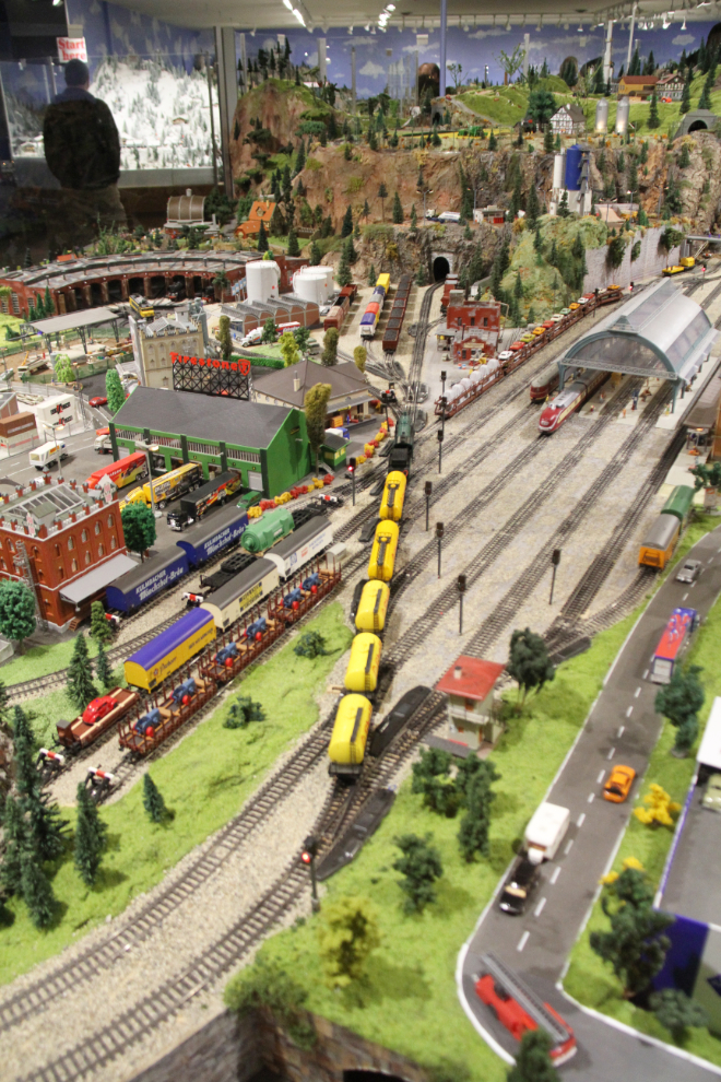
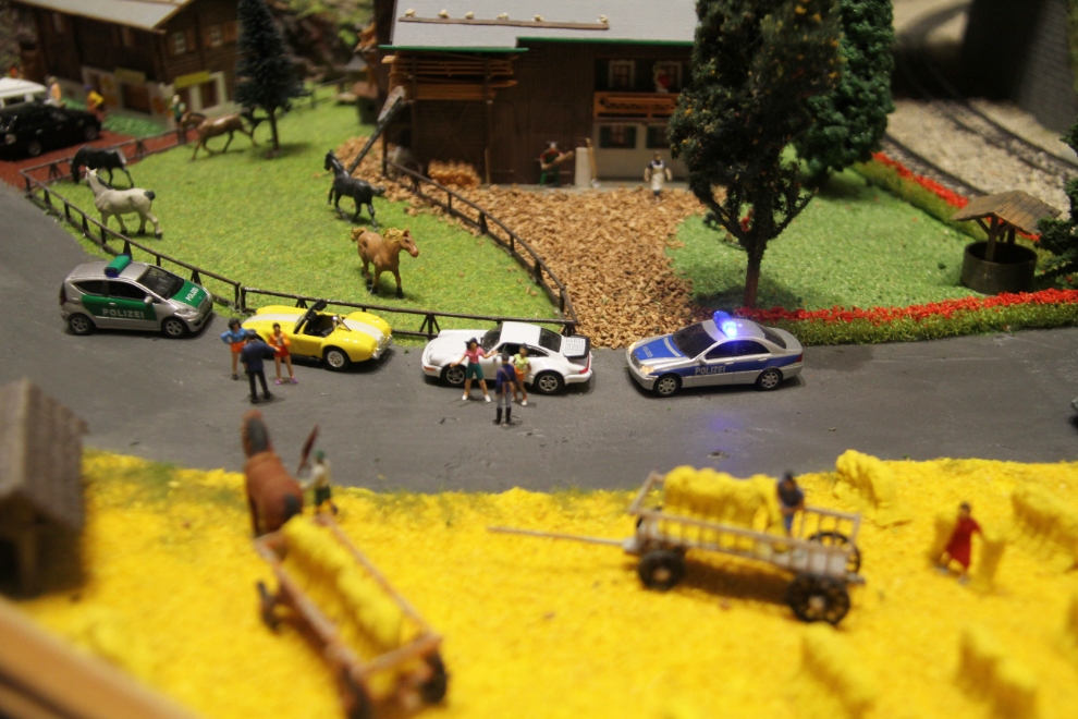
The railway layout has 45 trains, more than 1,900 houses and over 19,000 hand-painted people, and the imagination shown in the scenes is wonderful – such as these cops who have stopped a couple of street racers.
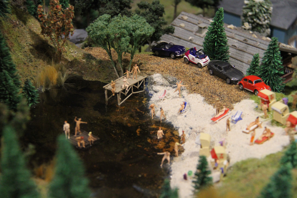
This nude beach scene has resulted in a couple of people giving the railway a poor review at TripAdvisor – pretty sad. They should stay off TripAdvisor and go get some counselling.
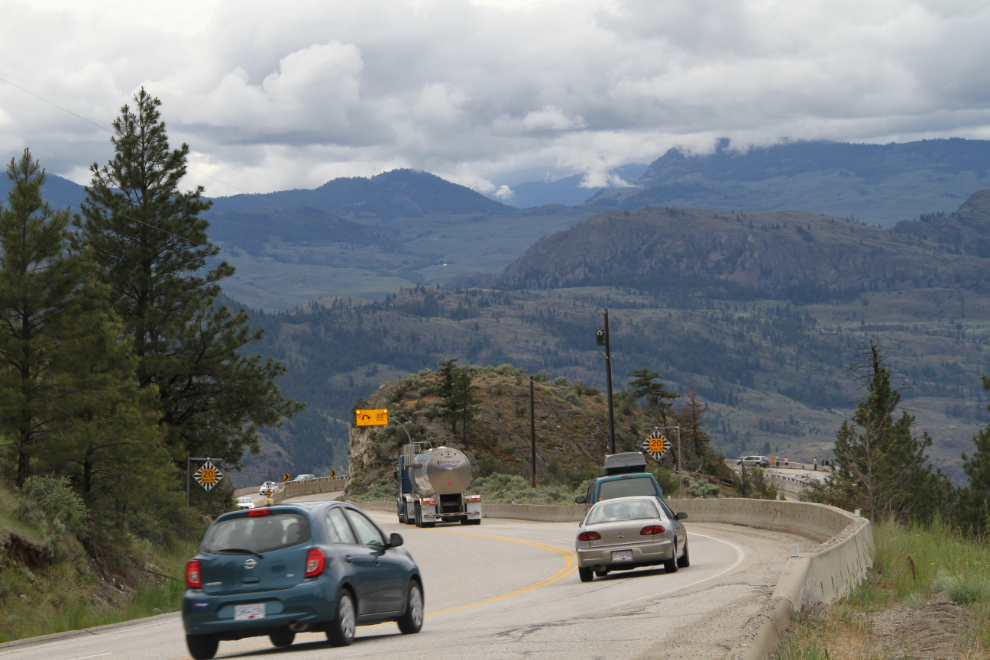
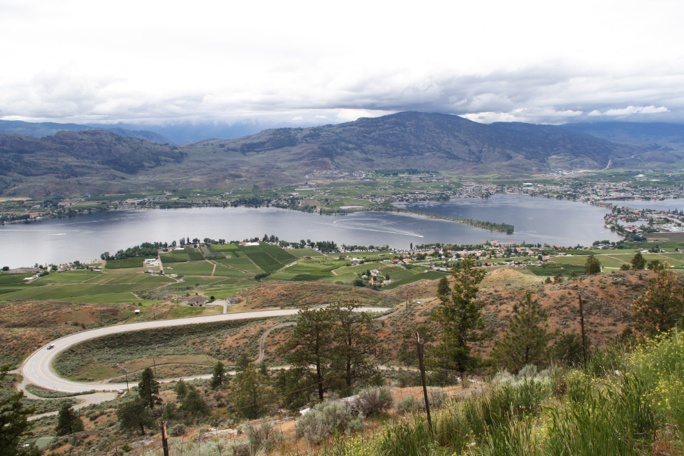
After the railway, we did a bit of shopping, and it was after 2:30 when we finally hooked the Tracker back up to the RV and pulled away from Osoyoos. Highway 3 East immediately starts climbing Anarchist Mountain, and it’s rumoured to be the longest continuous hill in Canada – 12 km of 6-8% grades, with some incredible views. There’s no way to pull the motorhome over for photos along the climb, so we continued on to a rest area near the summit, disconnected the Tracker, and drove back down to get some photos.
Osoyoos is at the right centre of this photo, and the sandspit that is Haynes Point Provincial Park sticks far out into Osoyoos Lake.
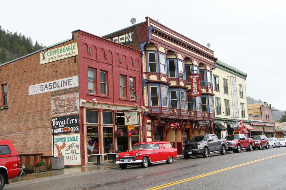
The mining history of Greenwood and the surrounding area has fascinated me for as long as I can remember, but a combination of time and awful weather made our visit quite short this time.
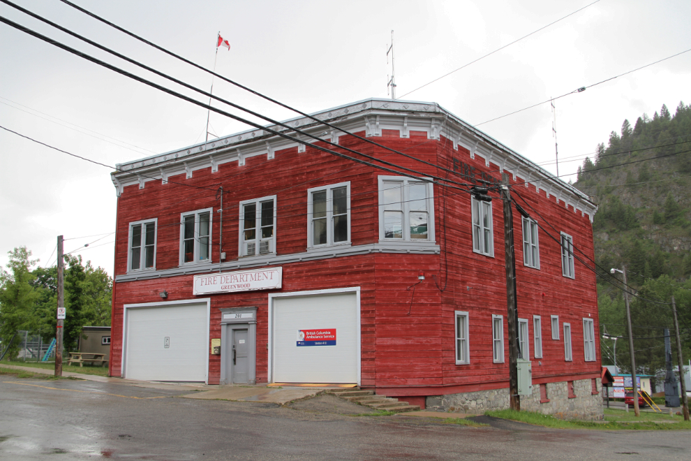
Very few of the substantial town’s original buildings remain, but some of the commercial and governmental survivors give a hint as to how affluent a community it was. For the serious explorer, roads wander all over the surrounding mountains to old mining camps and ghost towns such as Phoenix. Next time…
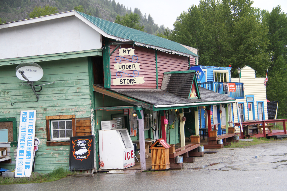
Places like Greenwood are the place to find characters whose self-expression finds outlets such as “My Udder Store”. The sign to the left says: “This little city is like Heaven to us… Please don’t drive like Hell through it”.
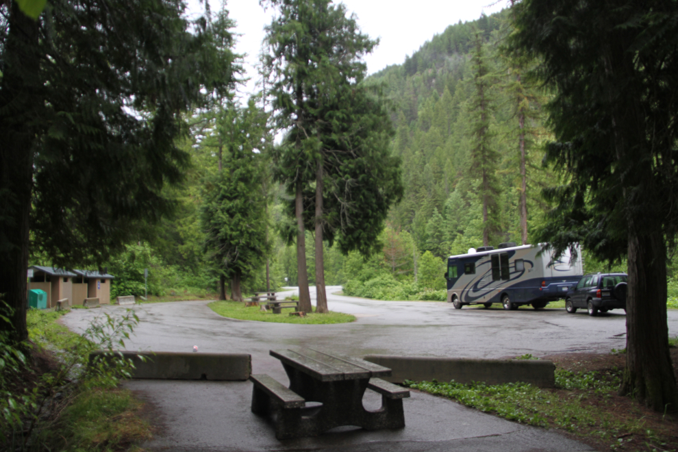
My draft plan had been to overnight in Christina Lake, and as we arrived we decided to check out the provincial park at the north end of the lake. A narrow, winding 5-km road took us to a campground with no available spaces, though. Back to the highway, we went another 10 km or so to the McRae Creek Rest Area, though, and it was nicer than the campground, had all the facilities we needed (none, but outhouses are nice), and was free instead of costing $27. Yes, $27 for a basic provincial park campground – that’s the highest I’ve seen yet.
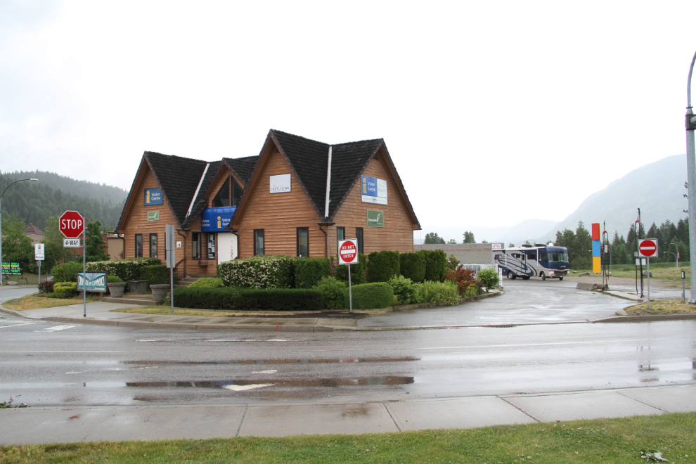
We were away from the rest area just after 09:00 on Sunday, and an hour later stopped at the Visitor Centre in Castlegar (which was closed), unhooked the Tracker, and went exploring, with 3 historic sites the main targets.
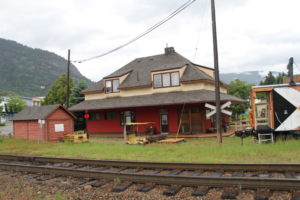
Our first stop was at the CPR Station Museum which was – you guessed it – closed. There was enough to see outside to make the visit worthwhile, though.
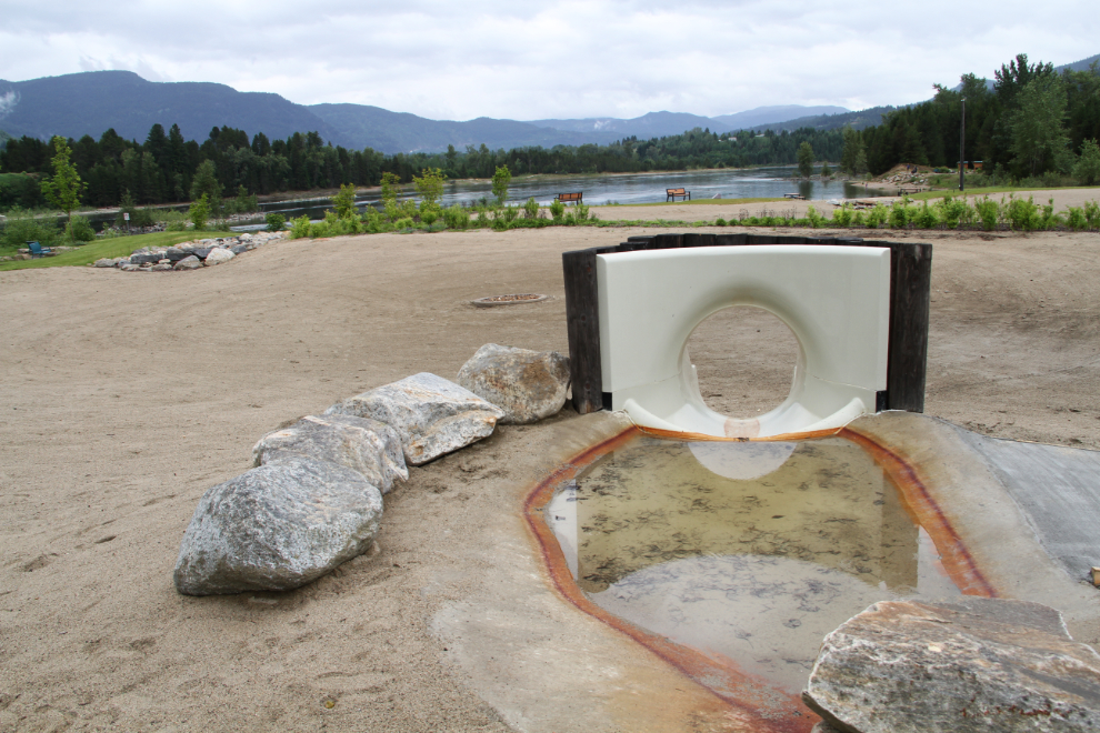
We read that Millenium Park with its 3 wading ponds beside the Columbia River was a must-see, so went there next. It’s very nice, and would be even nicer when the pools are full, but it’s not a must-see by any means. The amount of Canada goose poop on the soccer fields grossed me out – I can’t imagine playing there.
The historic CPR bridge across the Columbia River was next on the list. It was built in 1902 to link the lines of the Columbia and Kootenay Railway, and the Columbia and Western Railway – prior to the bridge’s construction, the railways had worked together using a barge.
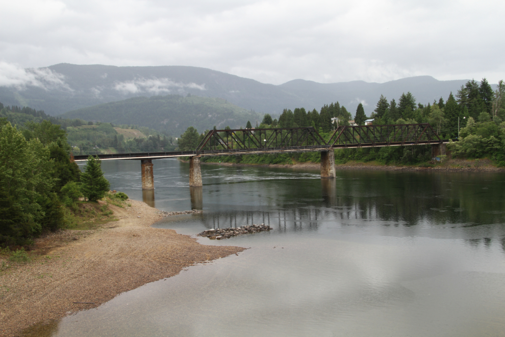
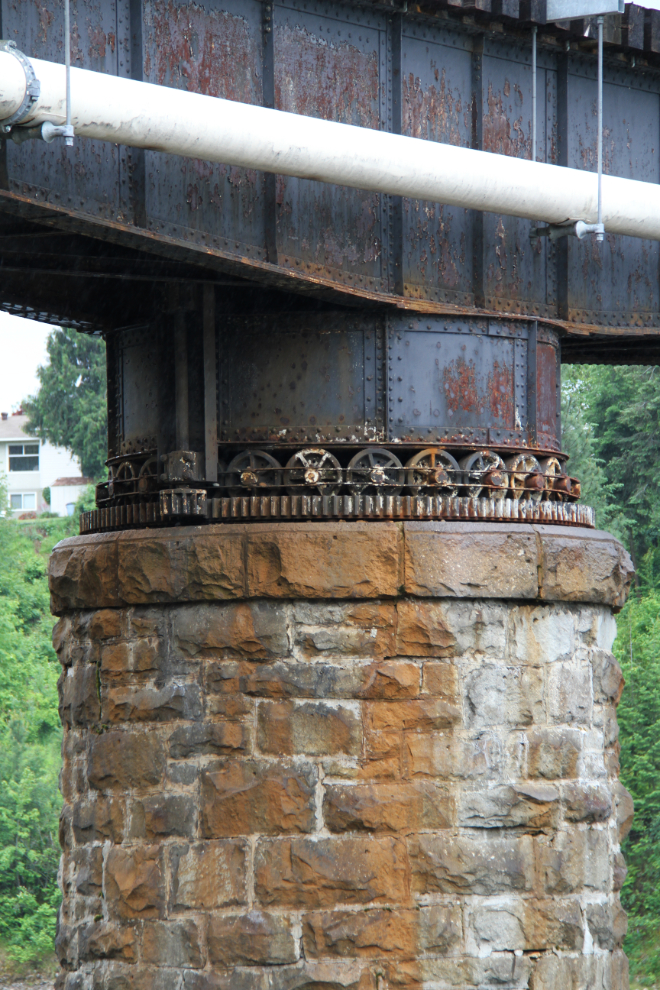
When we drove down to the river to get a better look at the railway bridge, I was surprised to see wheels on top of one of the stone support columns. It was quickly apparent that the two spans on the north side of the river used to be able to swing open to allow steamboats to pass
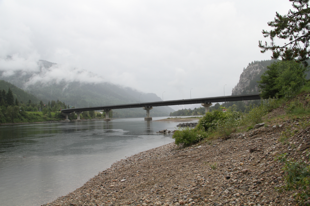
The highway bridge we came across the Columbia on, the Robson-Castlegar Bridge, was dedicated to the people of Castlegar and Robson by The Honourable Mike Harcourt, Premier of British Columbia, on July 23, 1994.
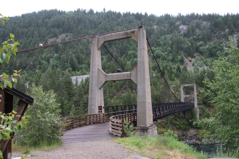
Zuckerberg Island Heritage Park was a surprise that we came to by following confusing GPS directions. The impressive suspension bridge was all we saw – the wonderful Chapel House built by Alexander Zuckerberg will have to wait for another trip. An Estonian immigrant, he trained in Czarist Russia as a civil engineer, and was a self-taught cabinetmaker and sculptor. He moved to the island in about 1931 with his wife Alicia, and they lived there for about 30 years while he taught local Doukbohour children.
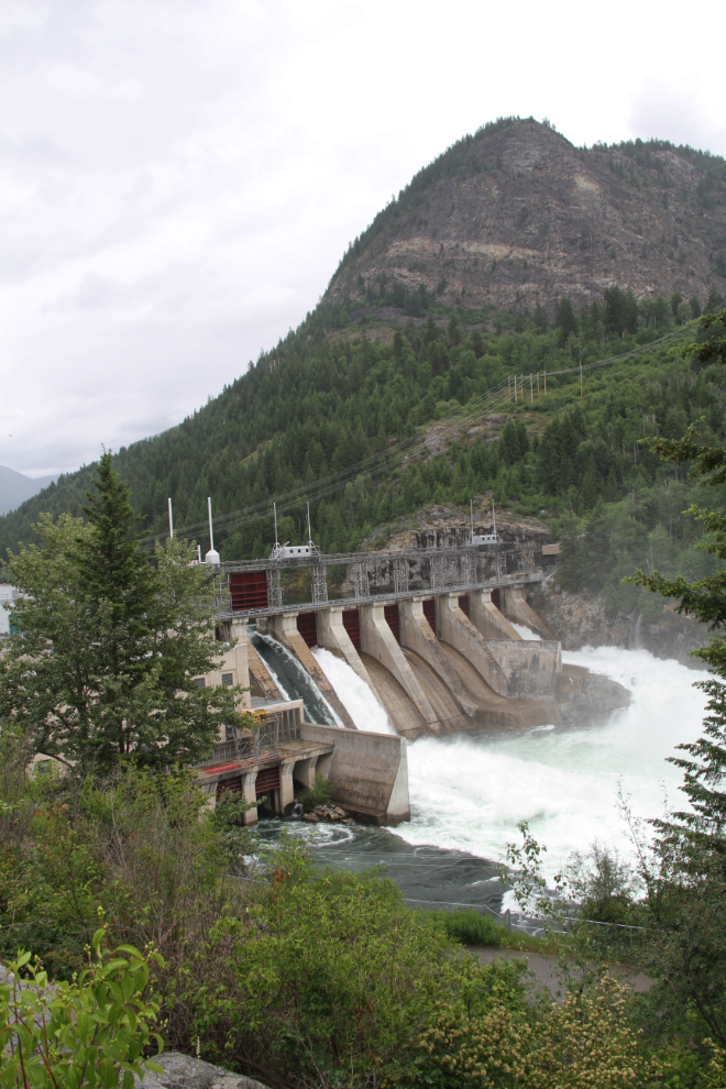
Crossing the river again, we found the suspension bridge I was actually looking for, and while looking for an access road to it, came across the Brilliant Dam (named for the nearest community). It was a World War II project on the Kootenay River to supply power for The Consolidated Mining and Smelting Company of Canada (later Cominco). It was engineering by the West Kootenay Power & Light Company, and construction began in January 1941, with 60% of the workforce composed of Doukhobour men who had been exempted from military service by the pacifist religious beliefs. The dam is 42.6 metres high, with a head of 28 metres, and 8 sluice gates. It originally produced 129 MW of power (starting in June 1944), but upgrades have increased that to 265 MW now.
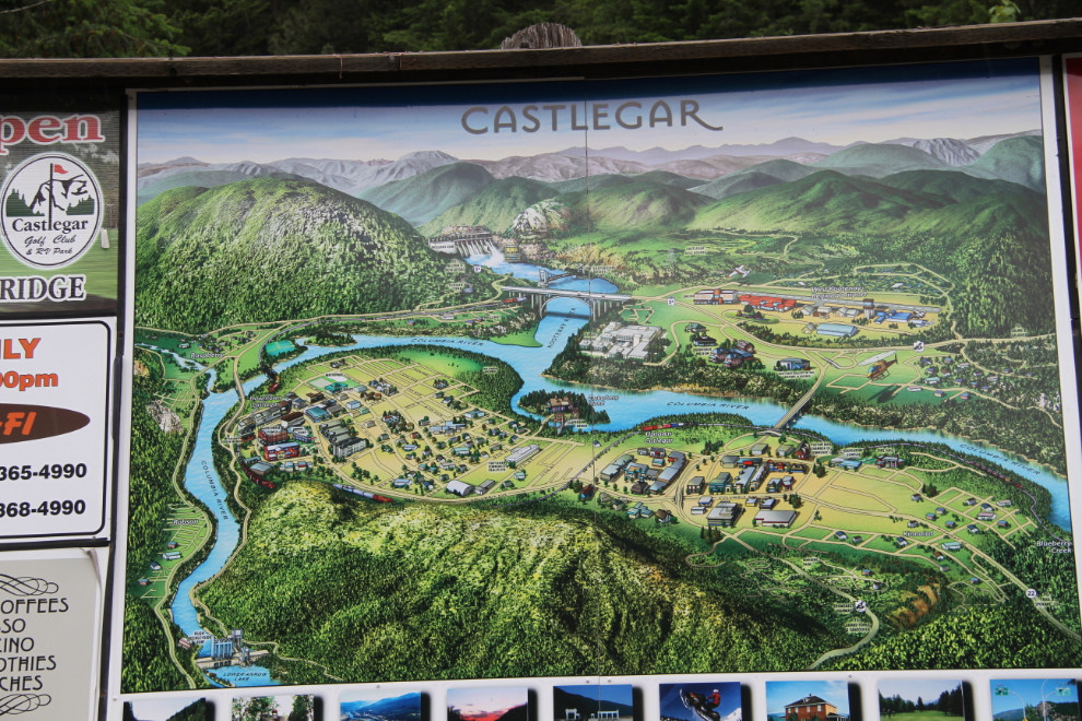
On the drive back towards the suspension bridge I wanted to see, I stopped at this tourism billboard to see if I could figure out the access. It’s shown just below the dam at the top centre of this photo.
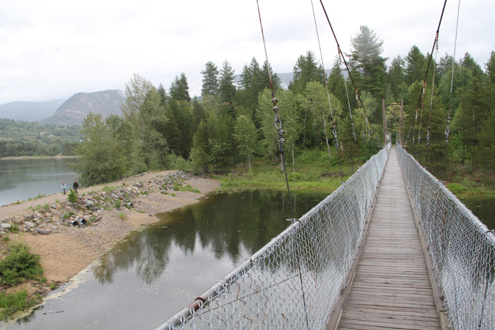
The GPS kept pretending that she knew where we wanted to go, but she really had no idea. But, I found the road, which starts about a mile from from the bridge and goes through the community of Brilliant. The Brilliant Suspension Bridge, built in 1913 by about 100 Doukhobour volunteers, was definitely worth searching for, though. The bridge was declared a National Historic Site in 1995, and after an extensive restoration, it was re-opened in 2010, the main attraction of the new Brilliant Bridge Regional Park.
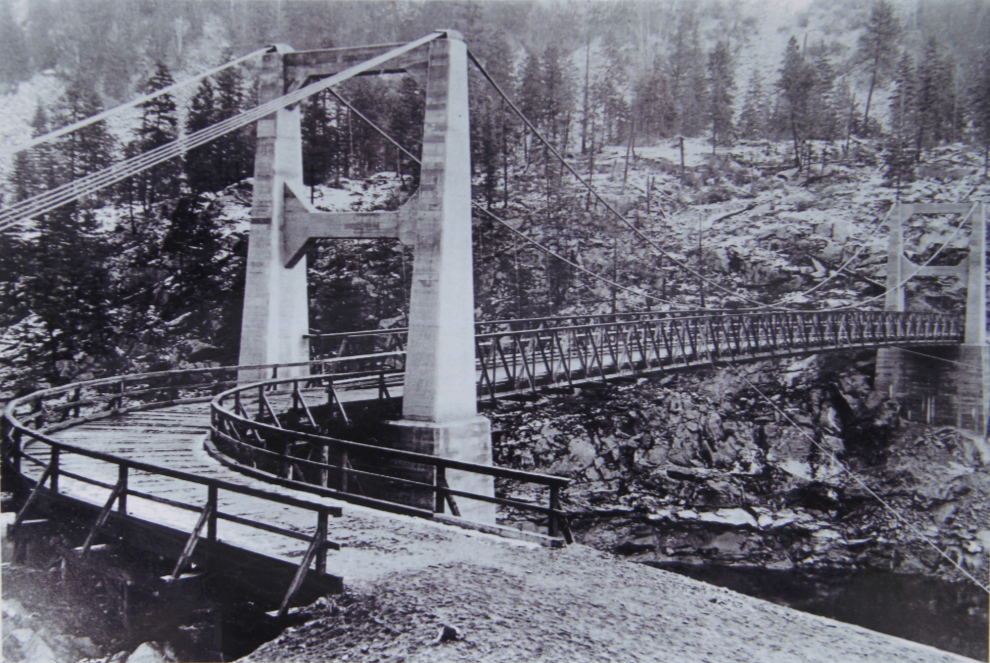
The Brilliant Suspension Bridge in the 1940s.
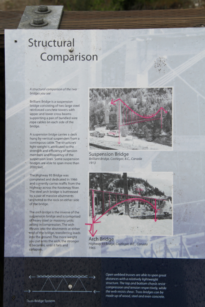
Beside and towering over the suspension bridge is an arch bridge that was built in 1966 to replace the old bridge, which was to have been torn down. That demolition was halted by protests by people from across the country.
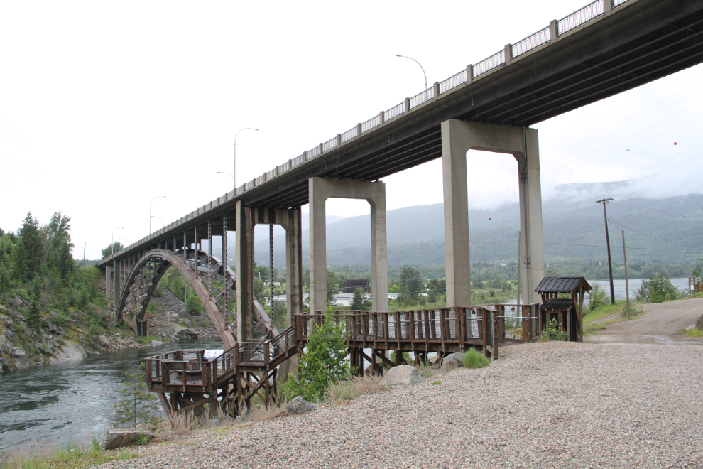
Interpretation in the park is extremely good, including this structural comparison of the suspension and arch bridges seen side by side here.
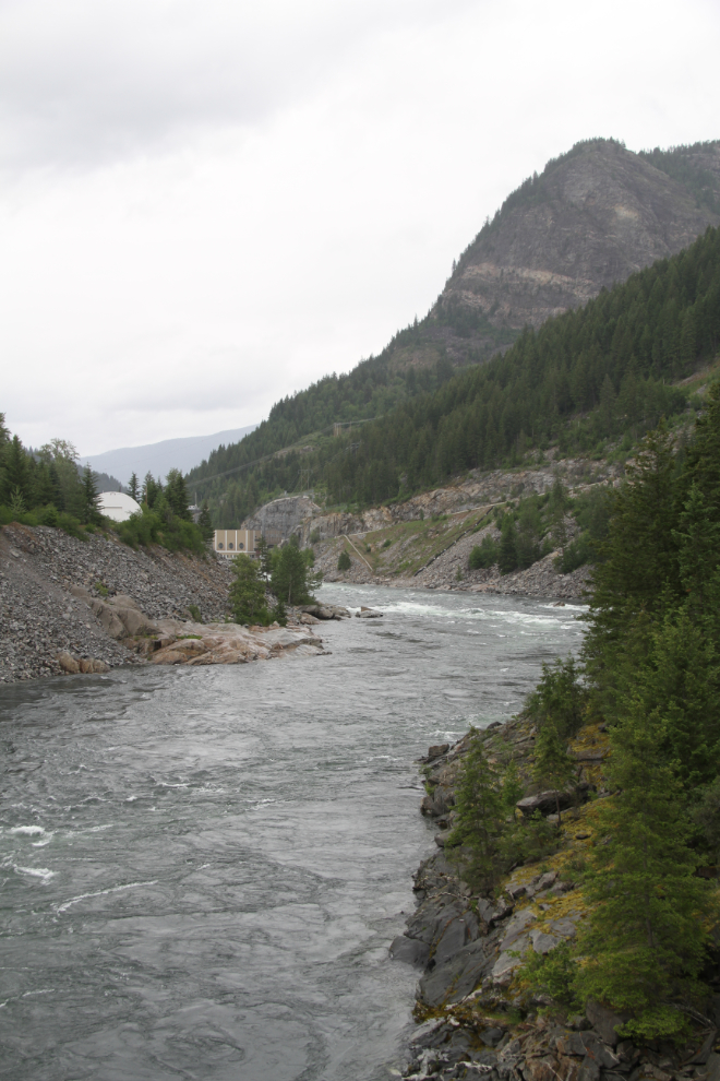
Looking up the Kootenay River from the suspension bridge to the Brilliant Dam.
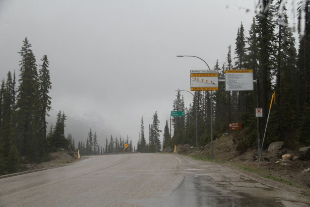
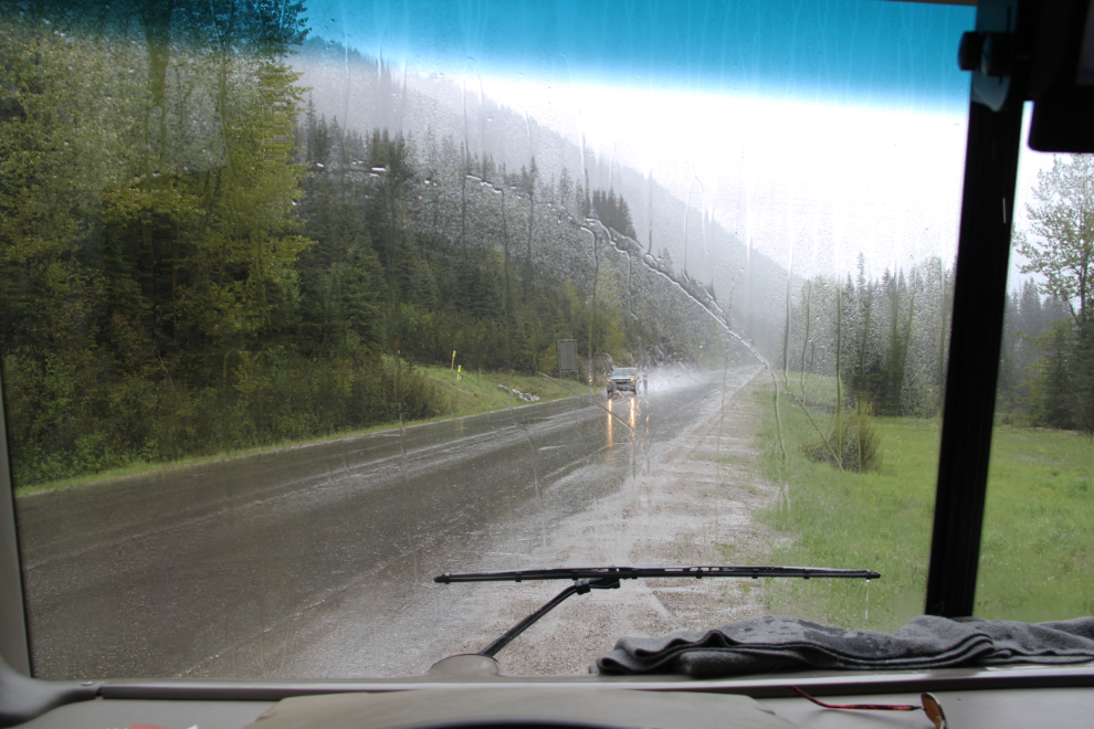
I had really been looking forward to showing Cathy the spectacular Salmo-Creston Skyway section of Highway 3 once we got back on the road just after 1:00 pm, but the weather turned really nasty and we saw pretty much nothing. We hit snow near Kootenay Pass, where I stopped to take this photo. The pass, at an elevation of 1,775 meters (5,823 feet), is one of the highest highway passes in Canada that is open year-round.
Even near the bottom of the hill, where we stopped to make a very short walk with a couple of insistent dogs, the weather was dismal. Having my new windshields leaking badly didn’t help my mood at all – I had asked about getting it fixed in West Kelowna but the shop was booked up for a few days. I’m not nearly finished with All-West Glass in Whitehorse over this incompetent installation. Grrrr….
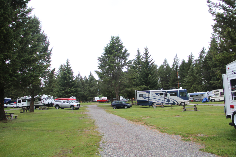
I had planned to overnight at Moyie Lake Park, but we decided to continue on to Fort Steele, where the Fort Steele Resort and RV Park gets very good reviews. And we agree – fairly large sites on a beautiful piece of property, almost across the highway from the historic village we came to visit.
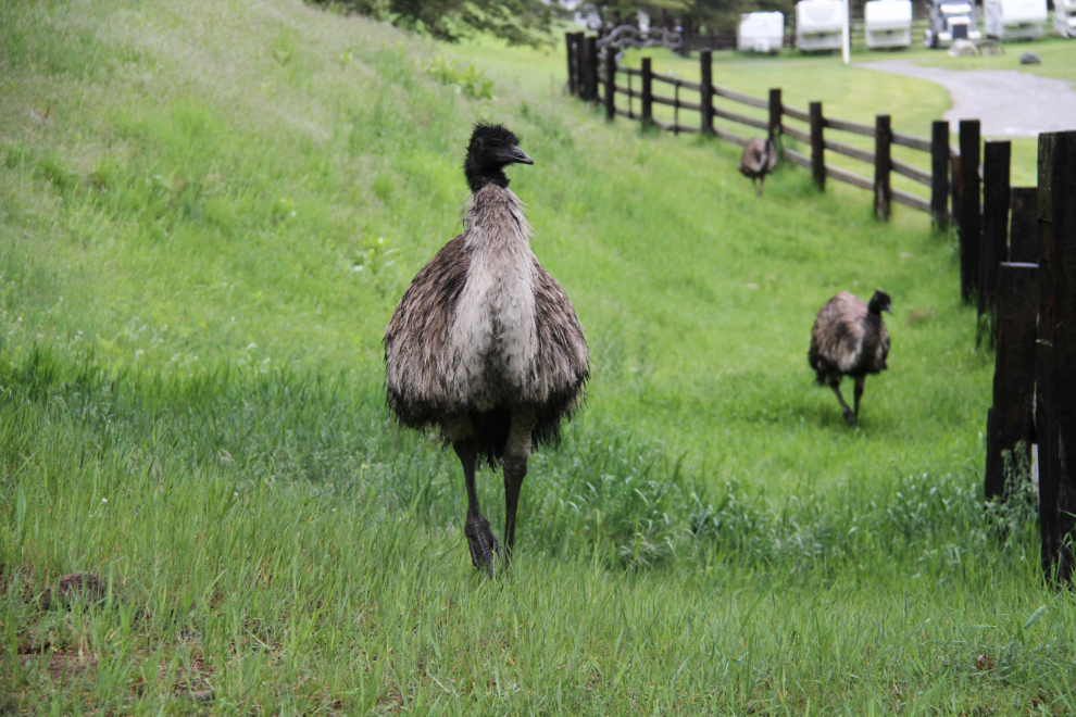
The emu on the farm next door to the RV were quite funny. They seemed to come down the hill to the fence to visit – or perhaps just to make Bella and Tucker crazy! 🙂
The rain stopped just long enough for us to take a long walk up to the Fort Steele cemetery (which I’ll tell you about in the next post, which will mostly be about Fort Steele), then it went back to raining hard all night, requiring a bucket under the worst of the windshield leaks.