From Green Point Campground to L’Anse aux Meadows
On Wednesday, June 10th, Day 13 of the trip and our 6th day in Newfoundland, we drove 438 km to an RV park just a few km from the L’Anse aux Meadows National Historic Site. We made few stops, simply because there were few places to stop.
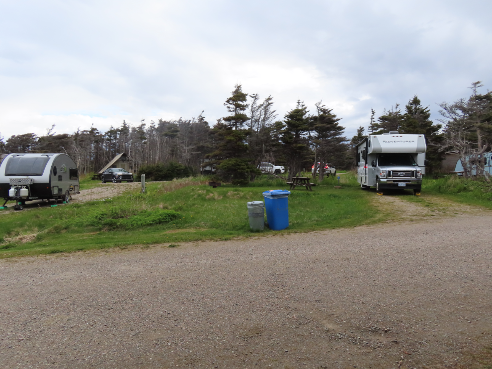
I have to begin by telling you about Green Point Campground, which is a Parks Canada facility. It gets 5-star rating from both of us. There are 33 large sites, all of them reservable – the campground was full the night we were there. Of the 33 sites, 8 have electricity and water. We had reserved site #2, seen on the right in the first photo.
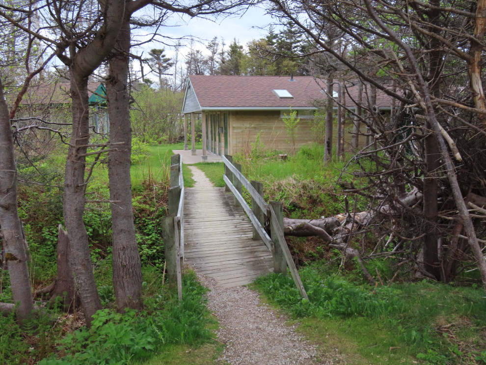
Directly across the road from our site, this path leads to the washrooms and cookhouse.
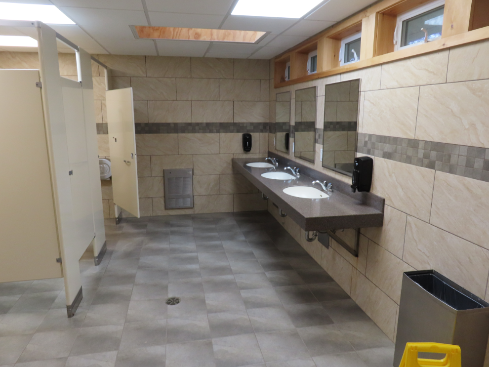
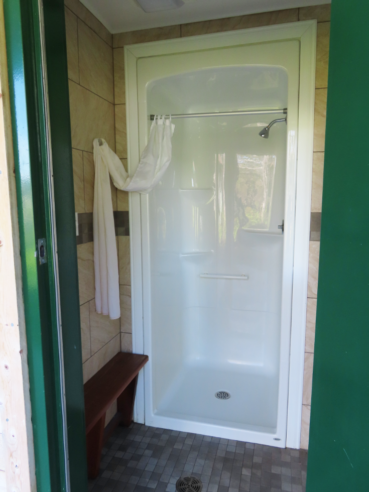
The washrooms and showers are high quality and spotlessly clean.
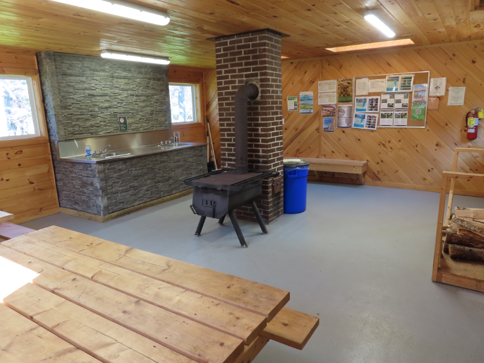
The cookhouse is cozy and well equipped, and wifi is available there.
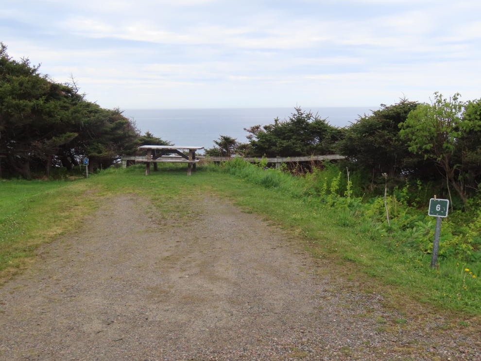
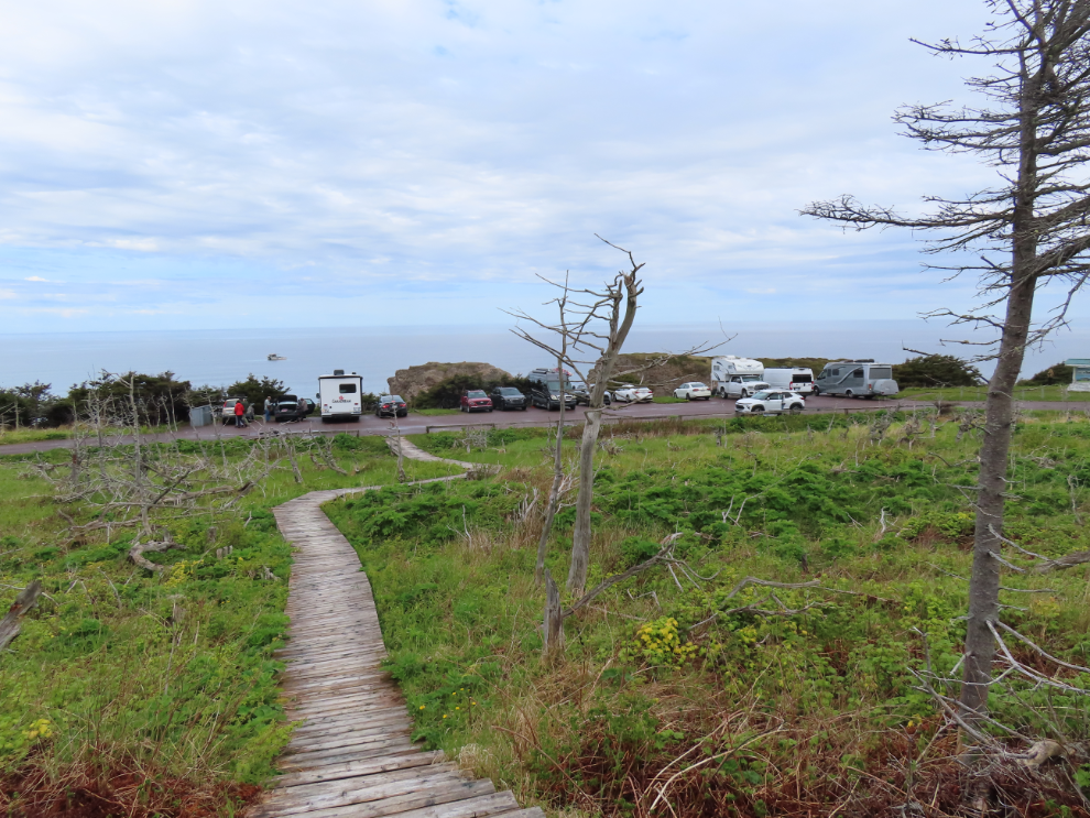
Sites 6 and 7 are the prime sites, with unobstructed ocean views; 7 also has a large grassy picnic area just below the parking spot.
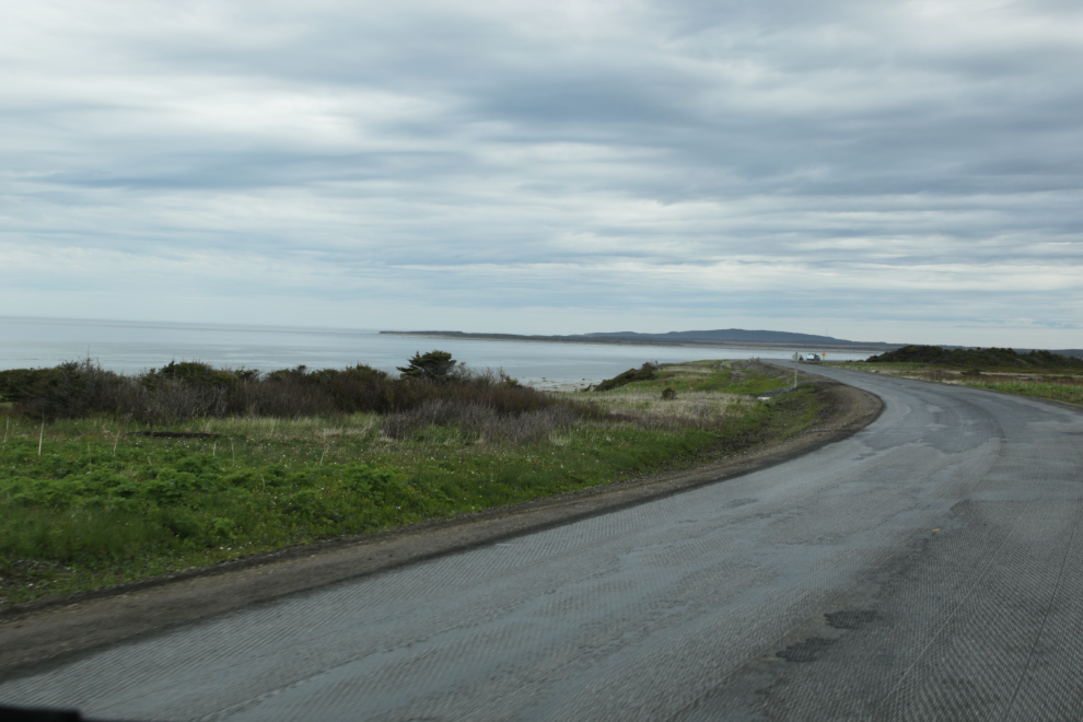
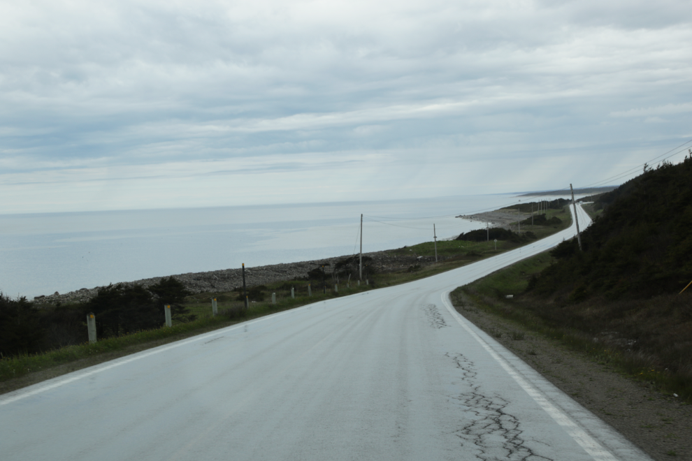
We were on the road just after 9:00, which is pretty early for us. Heading up the coast, Cathy took a few shots through the windshield.
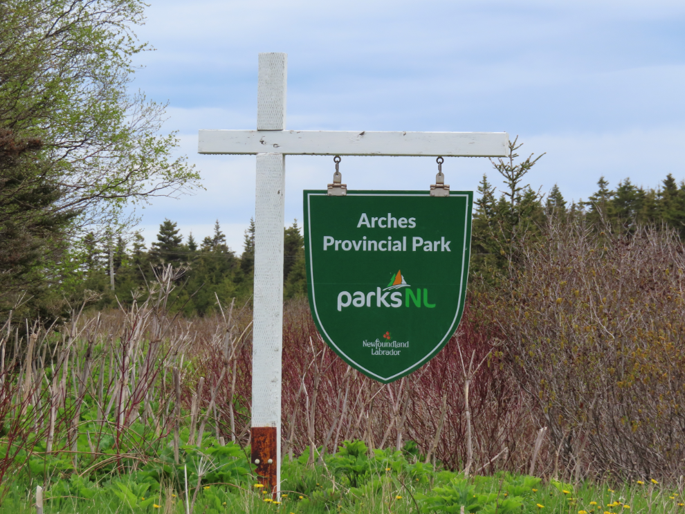
Our first stop was at The Arches Provincial Park, 58 km north on Highway 430. The sign on the highway is small and I just about missed it.
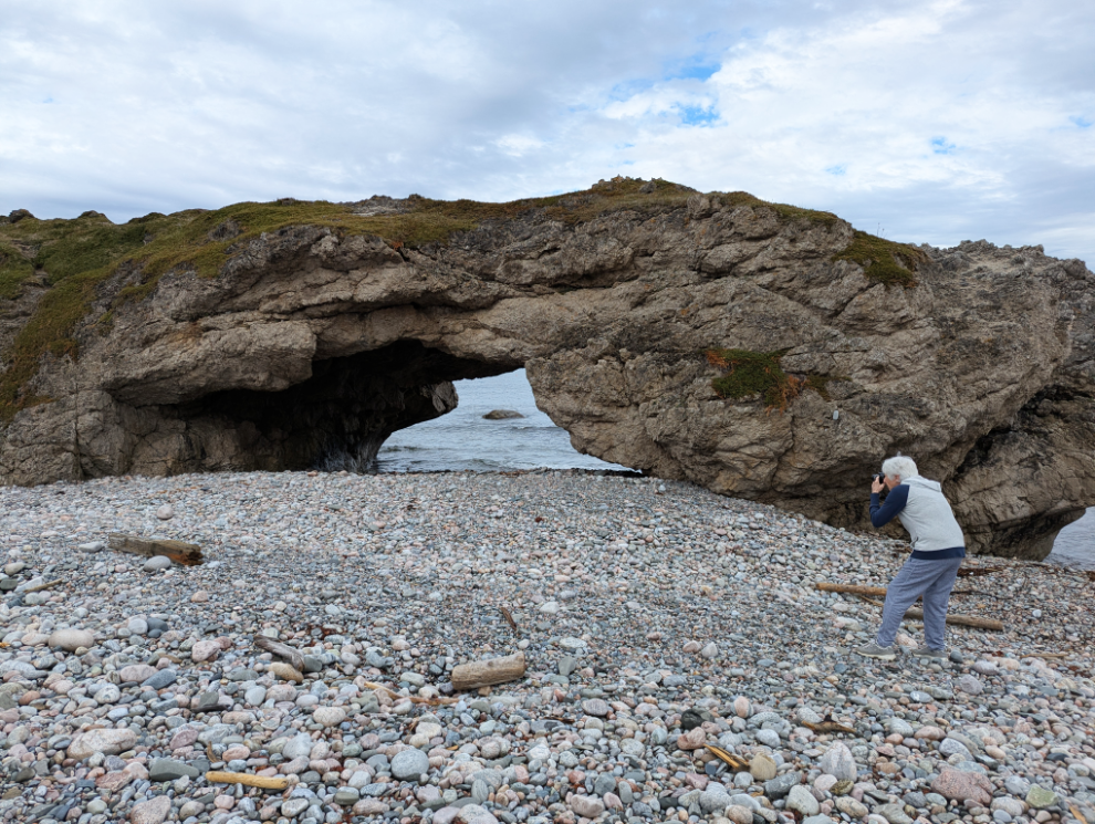
A large interpretive panel explains how the arches were formed, by glacial action followed by wind and sea erosion. There were 4 arches but one has collapsed completely.
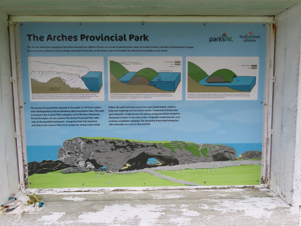
The stairs down to the beach were closed because one board was missing near the bottom. So people were either climbing over or under the barrier, or using one of two paths, one very wet and one not quite as slippery. Everyone seemed to agree, though, that the arches need to be seen from the beach.
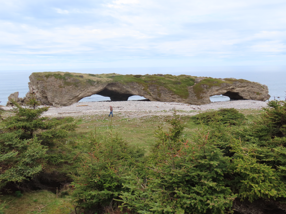
Looking north along the beach.
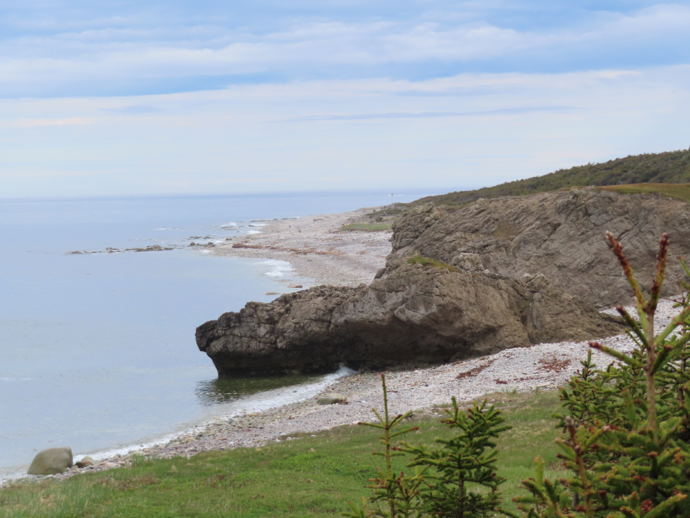
Looking down at the main parking area from a smaller one above, which is also the location of the washrooms.
The weather was erratic, with some sun, more rain, always wind.
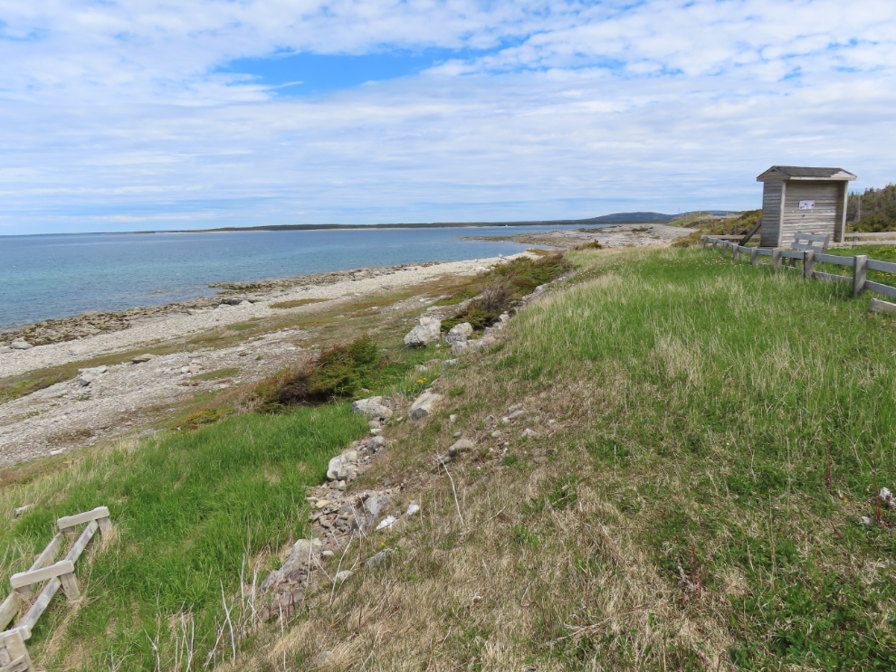
Our next stop was right at noon, when I spotted a pullout along a nice beach. Newfoundland highways are not tourist-friendly – wide shoulders are not common, pullouts and viewpoints rare, there are no rest areas, and there are few parks or hiking trails to give you a break.
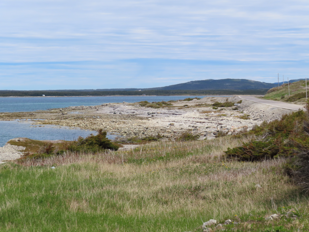
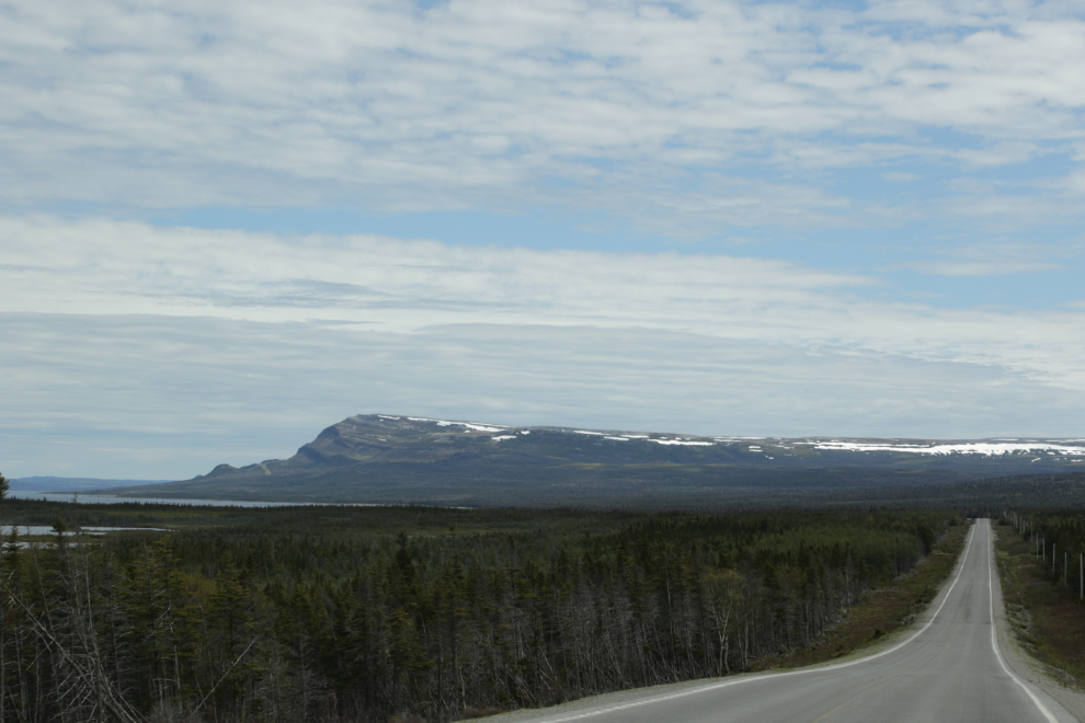
This is a very unusual mountain for this area. It shows up often online but I haven’t seen anyone give it a name.
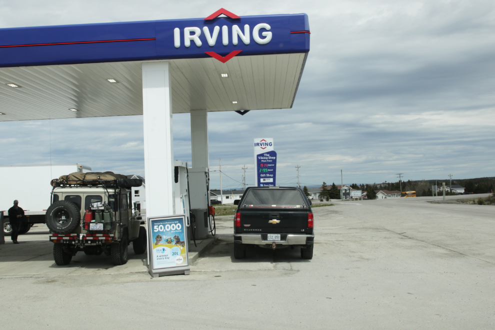
At 12:30 I stopped for fuel at Plum Point – our third top-up, at about $250 each. Regular here was $1.914. I had to get a local to show me how to use this pump. As with a few other things, gas is dispensed on the honour system and it apparently works – after you fuel up, go in and pay.
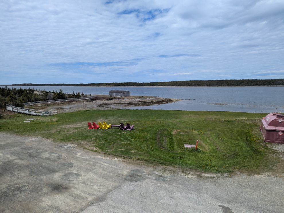
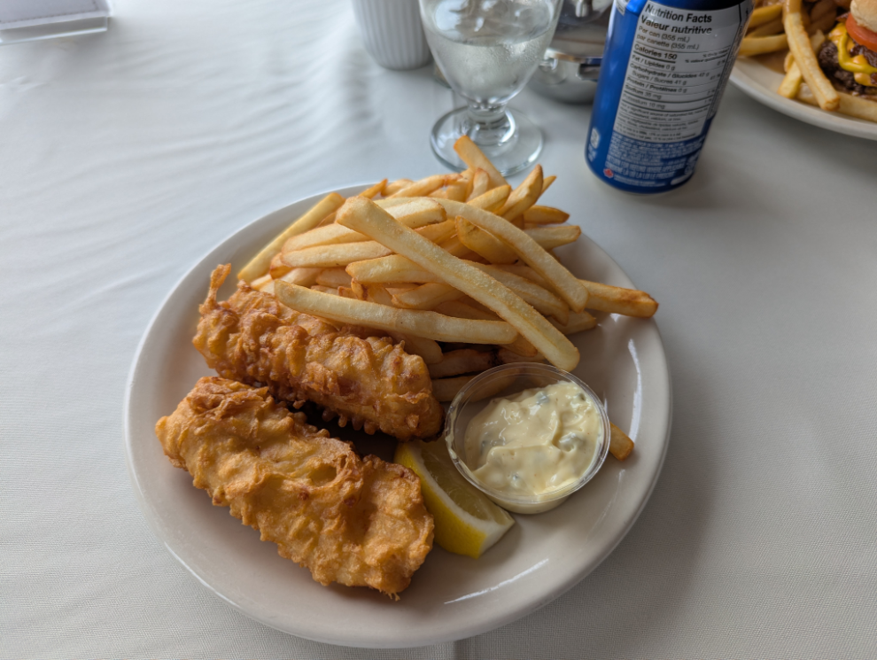
While we were stopped, we decided to go for lunch at the Plum Point Motel. I got spoiled by the fish and chips at Earle’s in Rocky Harbour. The view at the Plum Point Motel is much better but the food isn’t in the same league at all.
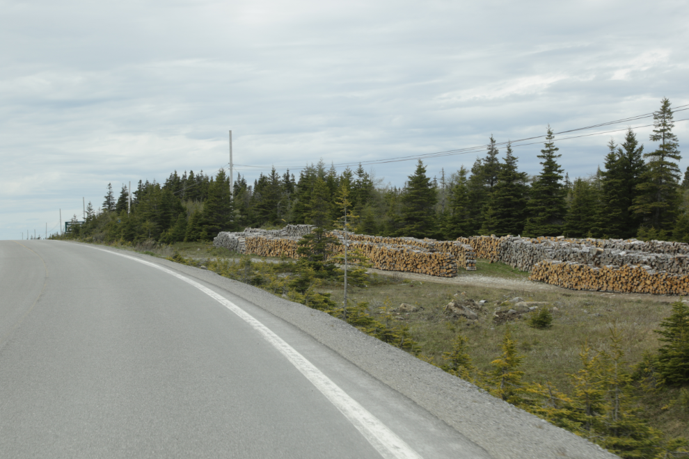
One of the questions I’ve not yet found an answer to is why there are tens of thousands of cords piled or stacked everywhere, usually in fairly small amounts but sometimes very large. There are no signs, even when it appears to be a commercial operation, but those aren’t common. Some of the wood has obviously been there for years, and some is freshly cut.
Passing through Saint Lunaire-Griquet at 3:30, we spotted some icebergs, so made a detour to photograph our first of many.

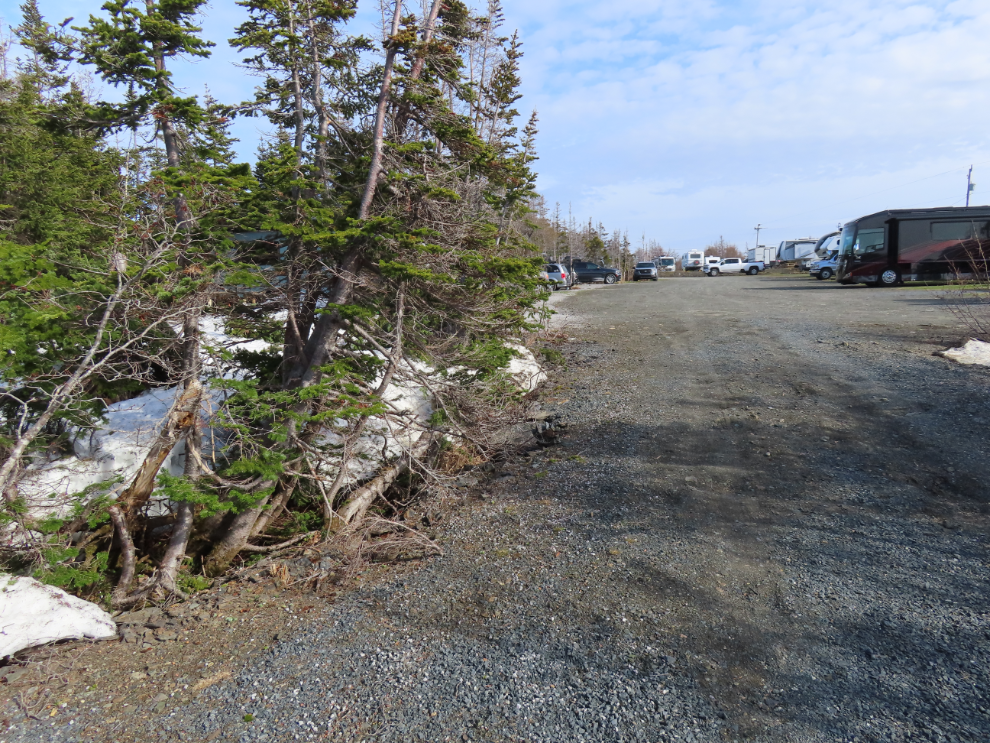
A half-hour later, we arrived at the Viking RV Park and settled in. The owners were clearing snow not that many days ago.
I decided to go for a major exploring walk that evening, which I’ll tell you about in the next post.