Four days RVing in the White Pass: Part 1/3
We finally got away in the motorhome for a few days last week (we left home on Thursday, July 15th). It was just to the White Pass, but it was wonderful to get back into the mountains.
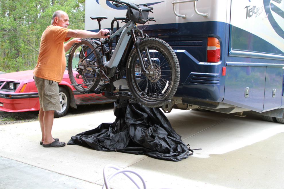
Getting the rig ready to go was a long slow process – there’s a whole lot to think about and I’m out of practice. A new addition to the outfit is the e-bikes. Cathy got a heavy protective bag from Swagman for them that complicated loading them, but I eventually got it figured out.
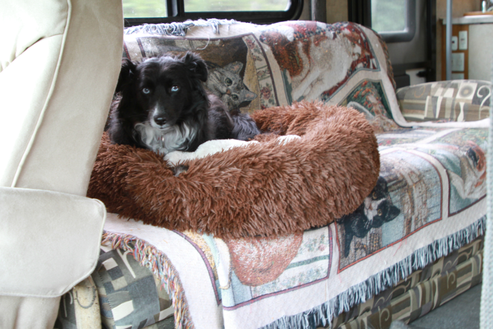
While Bella and Tucker both love the RV, neither is a big fan of the actual travelling part of the experience. I brought Tucker’s calming bed this time, and he was in it for pretty much the entire 135-km drive south to Summit Lake (click here for an interactive map of the route).
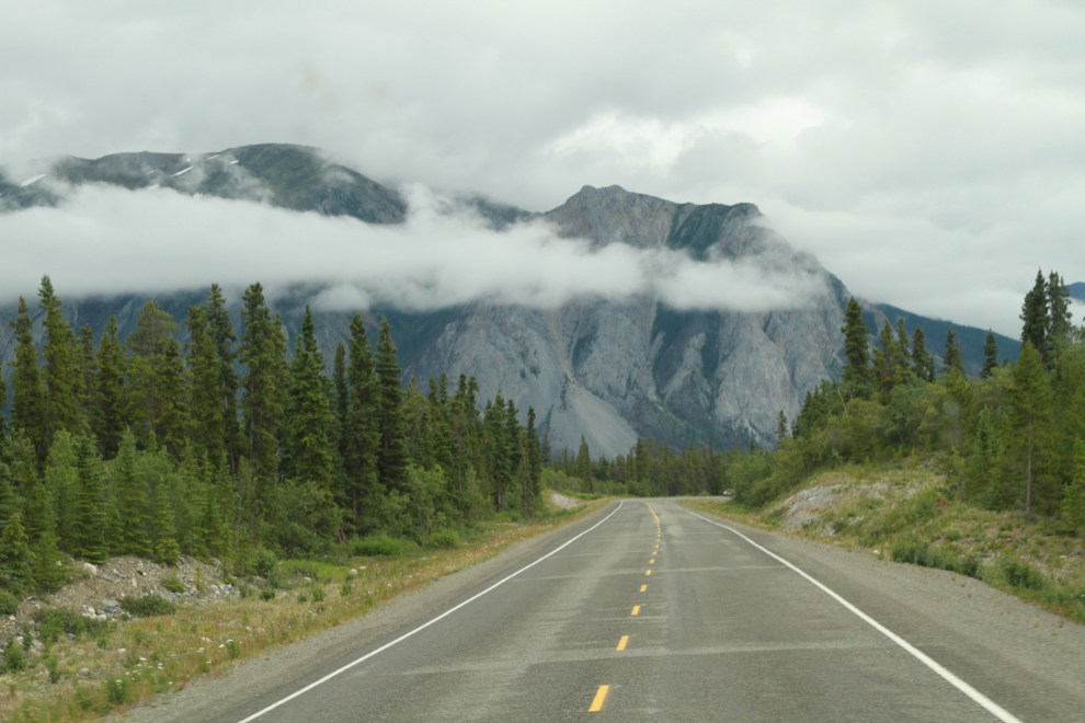
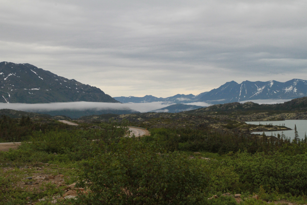
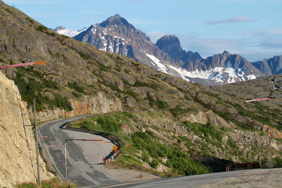
At 4:00, we were at about Km 97 of the South Klondike Highway and Lime Mountain was ahead. The weather forecast for Skagway (the closest forecast point to our destination) for the next few days was mixed, from sun to showers.
A light rain started to fall as we dropped down to Tutshi Lake, adding to the chilly atmosphere. I was surprised by the amount of snow remaining on the mountains.
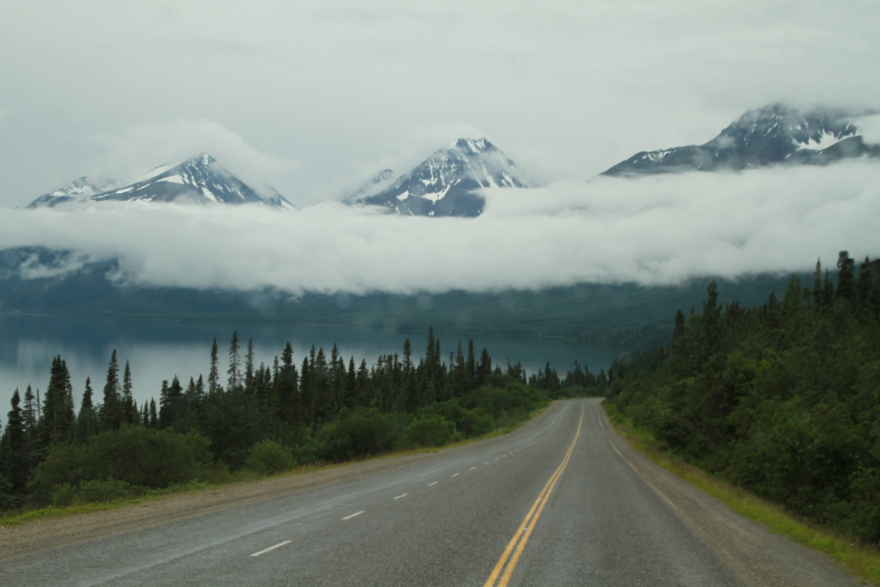
At 4:20 we stopped briefly at our usual dog-play spot at Tutshi Lake. Given the extremely high water levels I saw as we passed by Carcross, I was very surprised to see Tutshi down 3-4 feet from when we saw it on July 2nd.
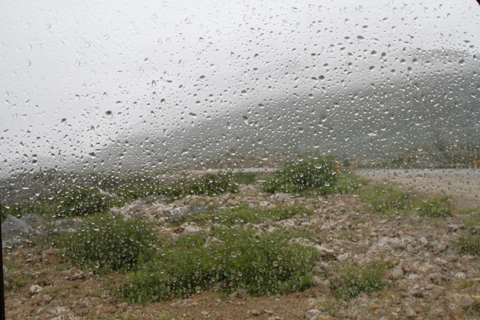
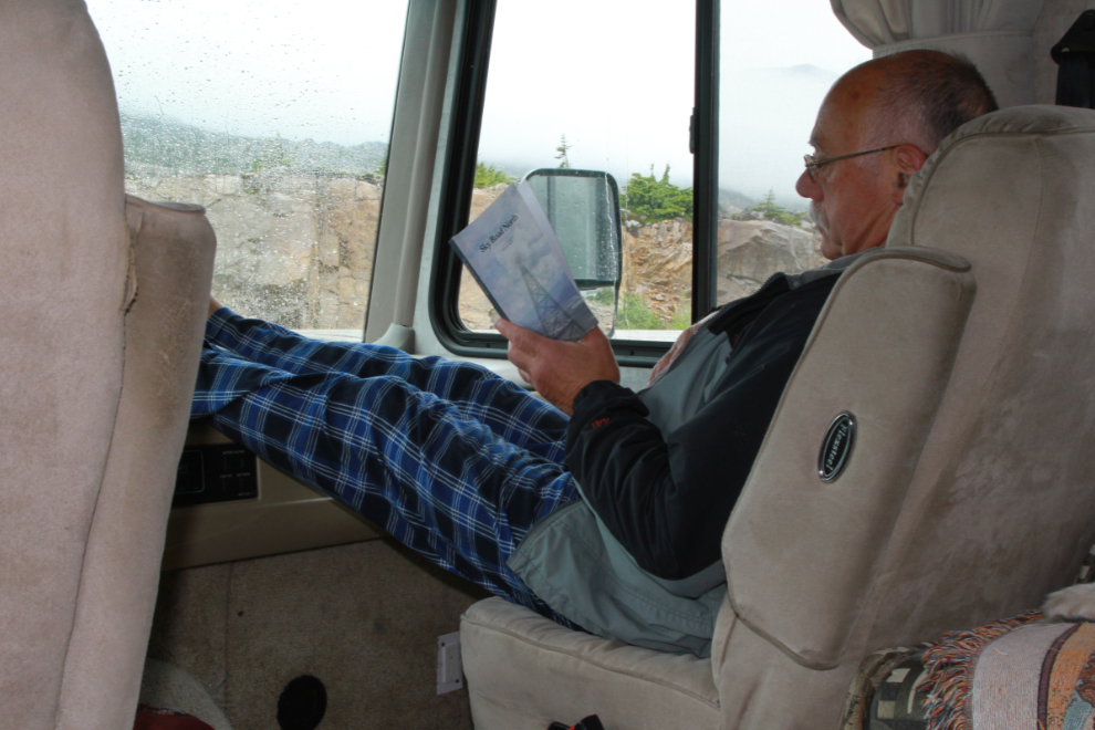
II was set up at a fairly large pullout along the highway at Summit Creek by about 5:00, and it started raining hard soon after. By 7:40 when I took the next photo, it was really miserable – and cold, about 10°C (50°F).
No problem, I was content to relax and continue reading the late Doug Bell’s recently-published “Sky Road North.”
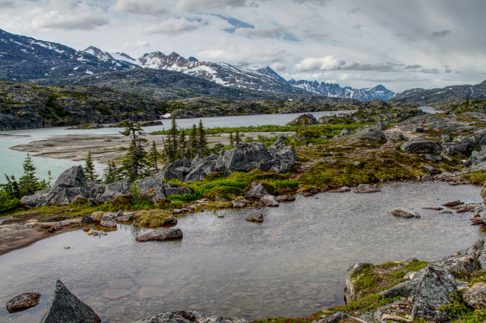
The view over Summit lake from the RV at 9:17 pm.
The view to the north at the same time Thursday night.
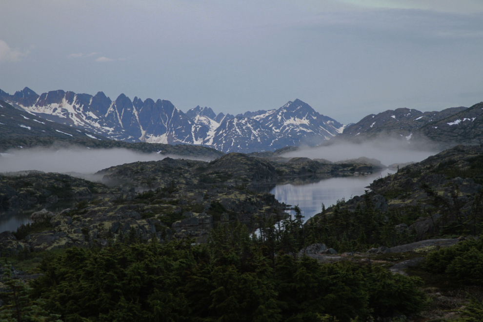
It was a quiet night, with a couple of very short and wet dog-walks before going to bed. The fog laying on Summit Lake at 06:00 Friday morning created a very pretty scene.
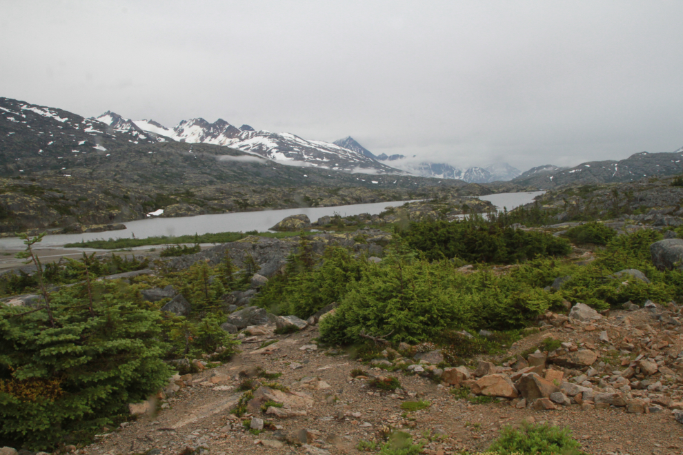
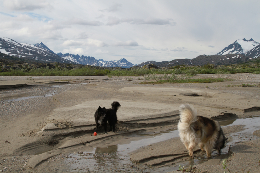
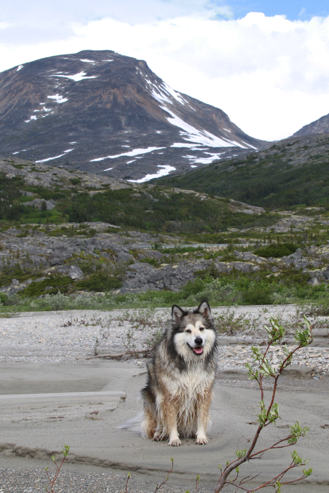
I took Bella and Tucker down to the beach just after 10:00 once we’d all had a good breakfast. The next photo, shot halfway along the trail to the beach, was processed as an HDR image to bring out the detail in the complex terrain.
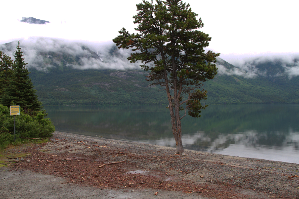
The pups love playing on this beach. Summit Creek has partially changed its course to run several branches across the beach instead of all flowing down the south side of it, and the beach is quite different as a result.
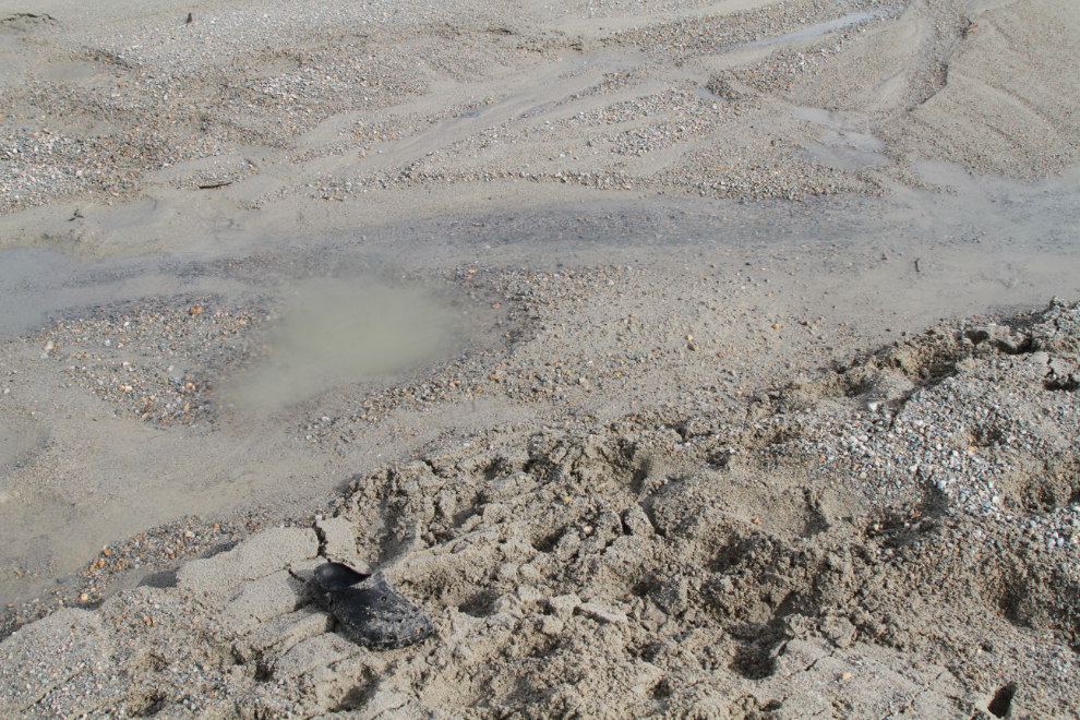
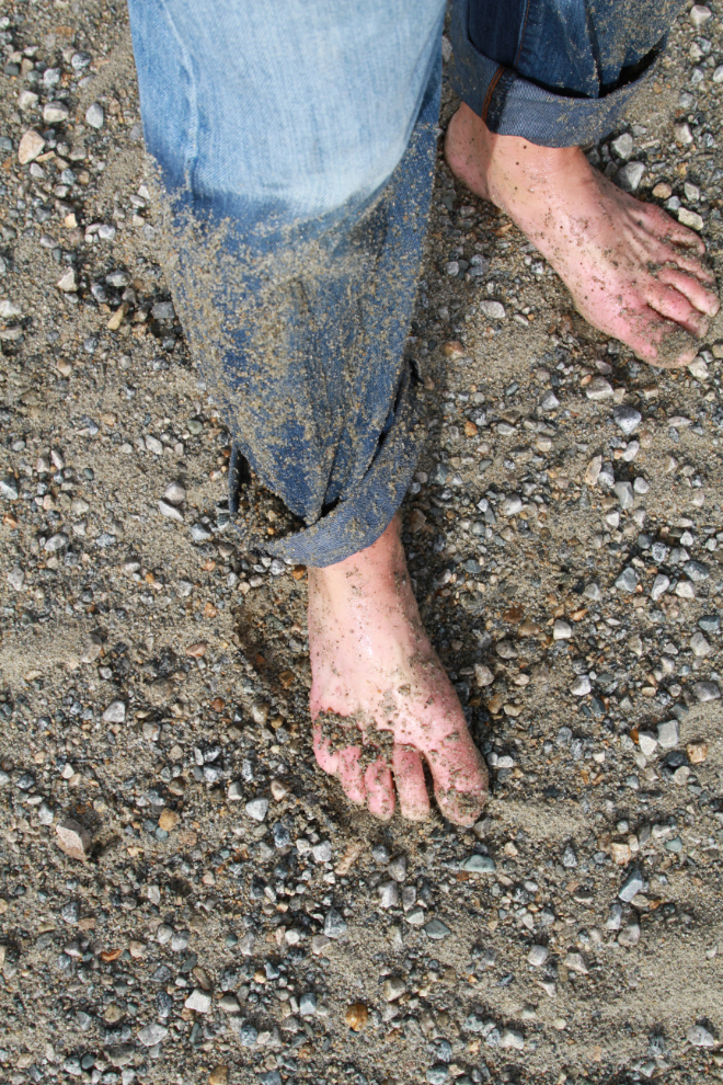
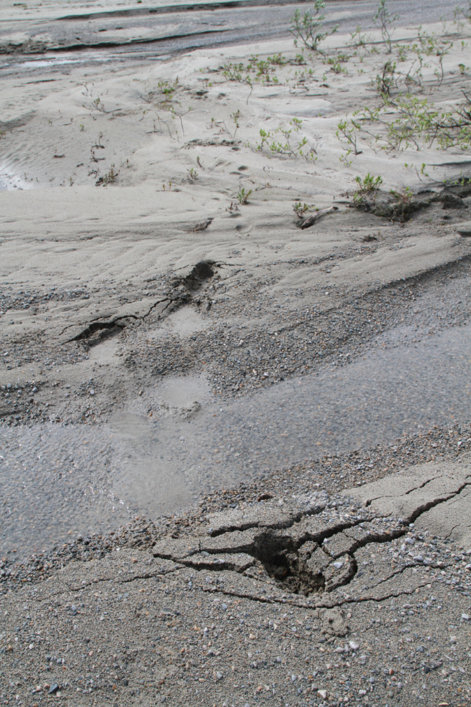
The big difference in the beach is that there is now quicksand! I had one foot sink to my knee, and at the same time and spot, Bella got stuck so bad it scared her and she hurt herself getting out. I had quite a time getting free, and despite digging, lost one croc – luckily it was a $6 Walmart that was about worn out.
Bella and Tucker were still exploring after that little adventure…
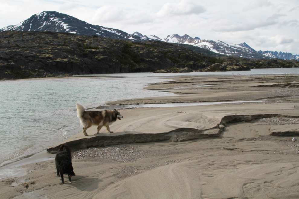
Despite her smile, Bella was clearly hurt, so we started back.
There was no visible sign that the sand ahead was soft, you’d just suddenly sink. This was not fun at all.
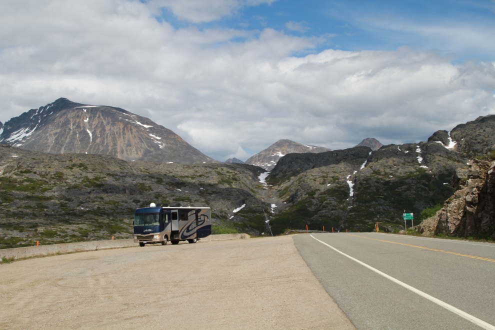
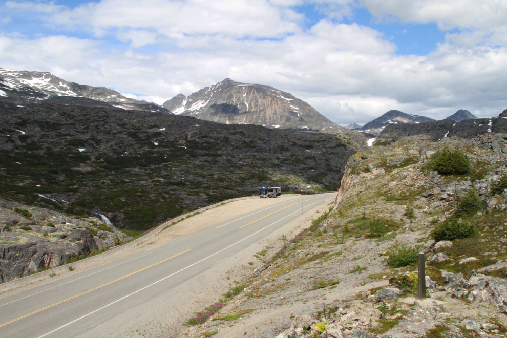
Back at the RV, we had a nap and then I moved the rig right up to the summit, a couple of hundred meters from the Canada/USA border. There’s almost no traffic on the highway, and from midnight to 08:00 the border is closed so there’s none.
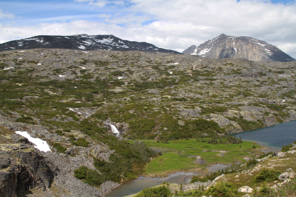
Just to the east of the highway less than 100 meters is a hidden canyon that offers safe and interesting dog walking and great views. This view to the south into Alaska is from the ridge that separates that canyon from the highway.
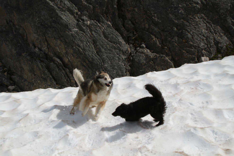
There was even some snow for the kids to play in! Who doesn’t love July snow? 🙂 The elevation here is just over 3,200 feet (975 meters).
Looking north to the RV, with the Canada/USA border monument at the lower right.
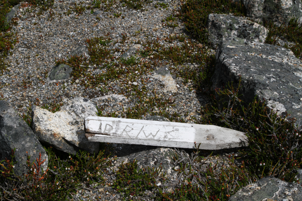
I found 3 survey posts for the highway right-of-way, probably from the 1970s (the highway opened in 1978).
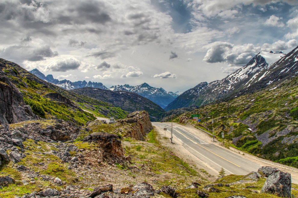
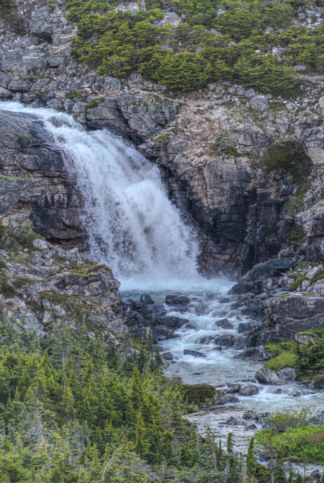
The view and the sound of the waterfalls along the International Falls trail from the RV was the biggest attraction of this location. It’s becoming a very popular hike (we’ve done it a few times).
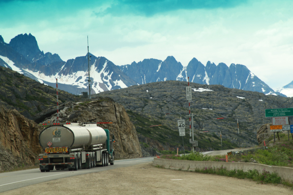
The majority of the traffic on the highway is semis hauling into and out of Skagway – mostly ore in and fuel out, but there was also one truck back and forth hauling bags of road salt north, another carrying silos of what I think is cement, and some other stuff.
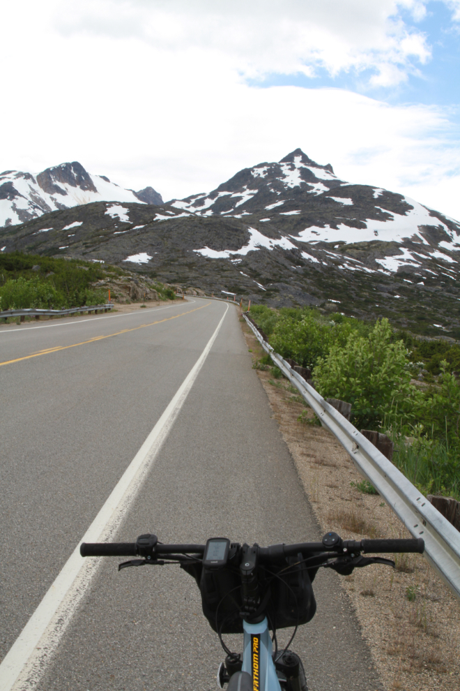
On Friday afternoon I unloaded my bike and took it for a 12-km ride. There was a very strong and cold north wind that greatly diminished the pleasure of the ride, though, and I only took it out that once. The protective bag will sure cut down on any short impromptu rides – while necessary to protect them, it simply takes too long to take off and put back on.
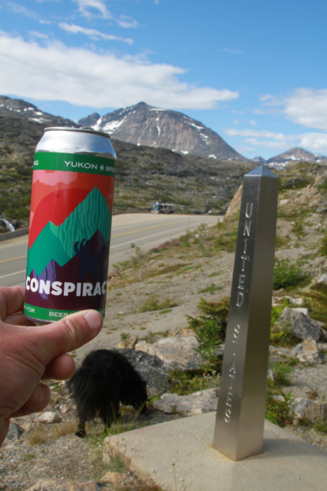
Usually there’s Ice Fog when I’m in the White Pass, but on Friday evening just before dinner I found a Conspiracy right at the border! Seems appropriate 🙂
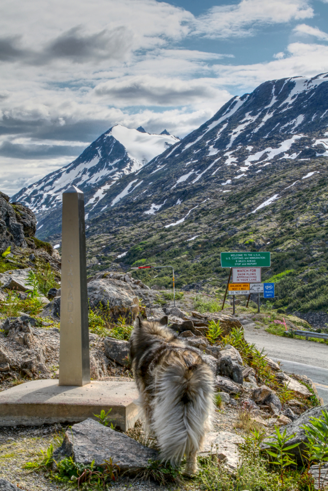
Bella at the border monument. This is monument 118A, erected here in 2000 as an addition to the original monuments.
Cathy didn’t arrive until after 8:00 Friday night – she’d taken a break at home after work before coming down. The next photo was shot during my final dog walk of the day, looking into Alaska at 8:50.
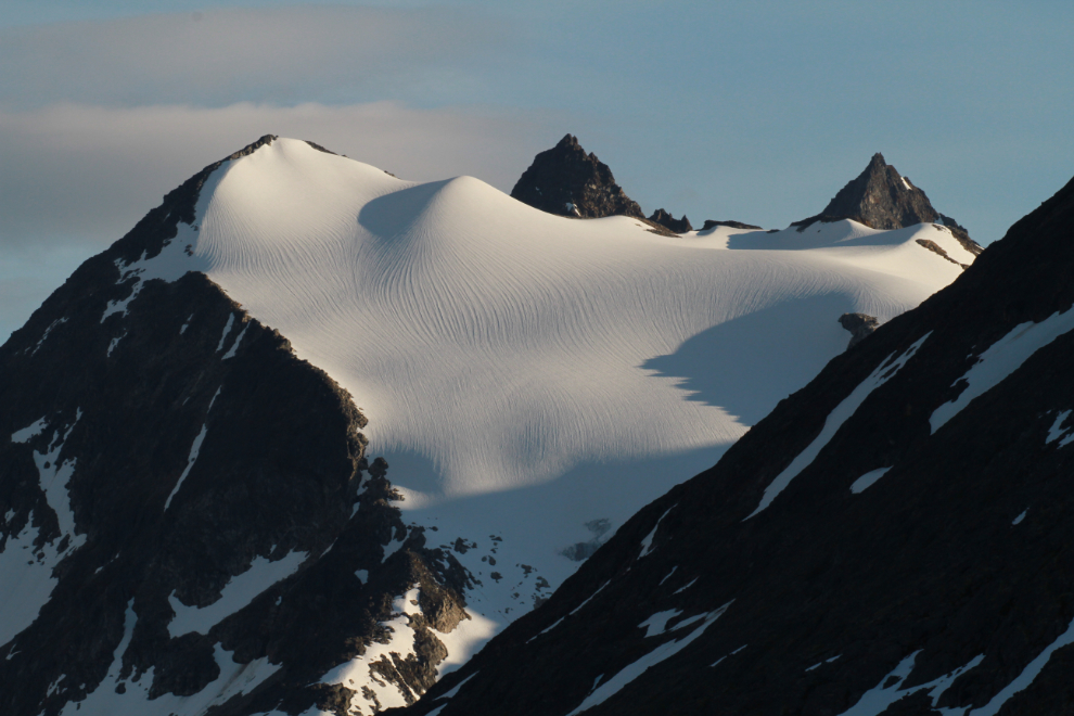
The light at 9:20 pm was gorgeous – I don’t think I’ve ever seen patterns quite like that on a glacier. I’ve never found a good publication or online source of mountain and glacier names – is this the Cleveland Glacier or the Carmacks?
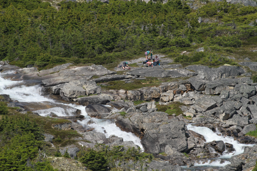
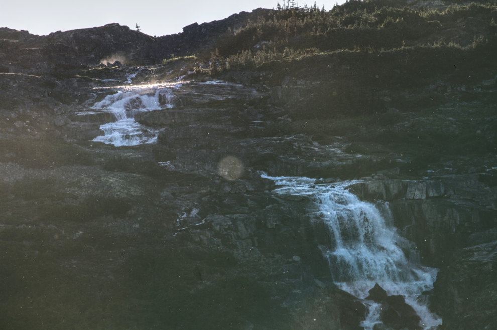
At 9:25 pm I shot a couple of telephoto images of the various falls along International Falls trail.
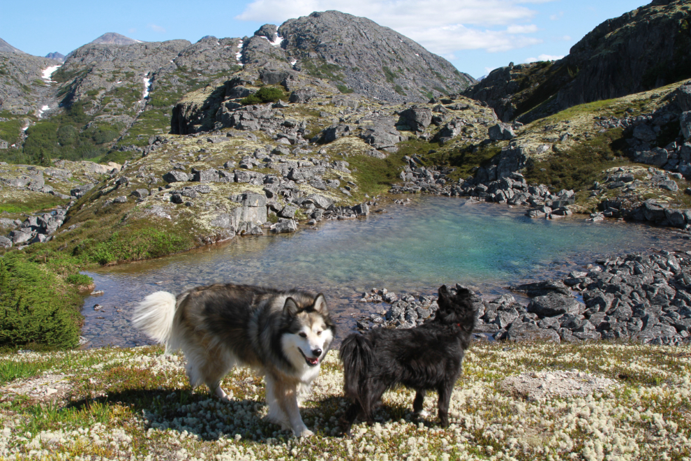
The next photo was shot just after 11:00 am Saturday, during a dog-walk in the little canyon to the east. It has a few little ponds as well as the snow to play in. The water in the ponds is very cold.
The International Falls trail was very busy on Saturday, with up to 8 vehicles at the trailhead. I shot this at 1:30, just before Tucker and I headed out on a major hike, which I’ll tell you about in the next post.