Flying from Whitehorse to Vancouver for a getaway
I’ve been itching to go somewhere for a while. Something easy and short – just a head-clearing sort of trip. Last week, with a good weather forecast in both places, I booked an Air North flight to from Whitehorse to Vancouver Sunday morning, and 2 nights at the Executive Hotel Vintage Park.
Two sunny days in Vancouver would be all I needed. I didn’t tell anyone except Cathy I was going. I didn’t want any committments – that was to be “me” time.
I had checked in online for the flight and was only taking a small daypack, so didn’t leave home until an hour before the 09:00 flight.
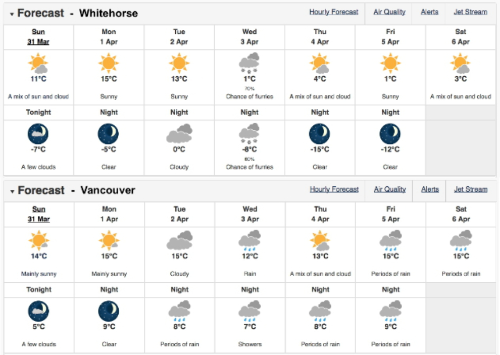
At 08:59 our Boeing 737 was ready to launch into the cloudless sky at YXY. Ah, I love flying! When I first started thinking about how to blog this trip, I thought I might just do one post for the entire trip, but the flight on a good day is so amazing, that’s this entire post.
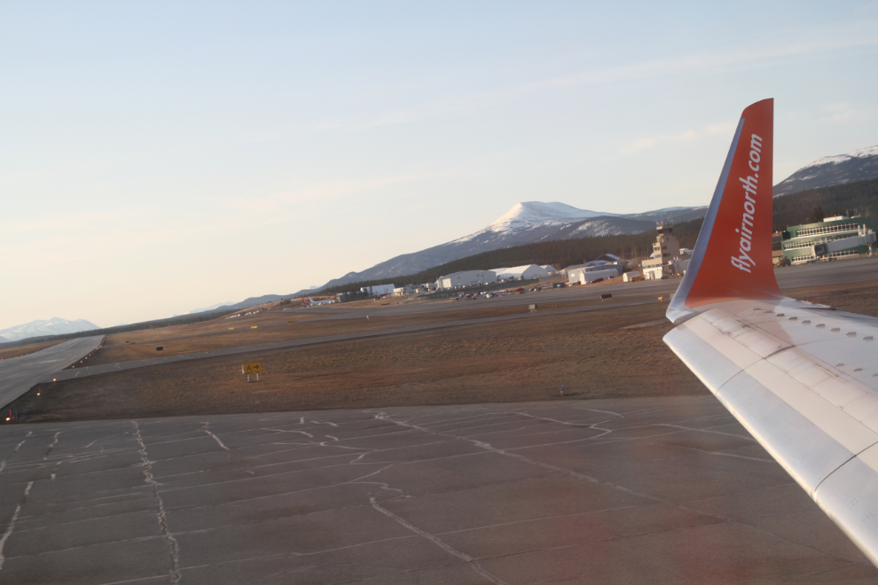
By far the most visible reminder of the copper mining history of Whitehorse is the former Whitehorse Copper property, with several pits and the large tailings pond. The mine closed for the final time in 1982.
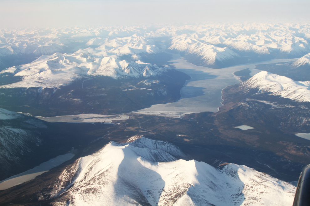
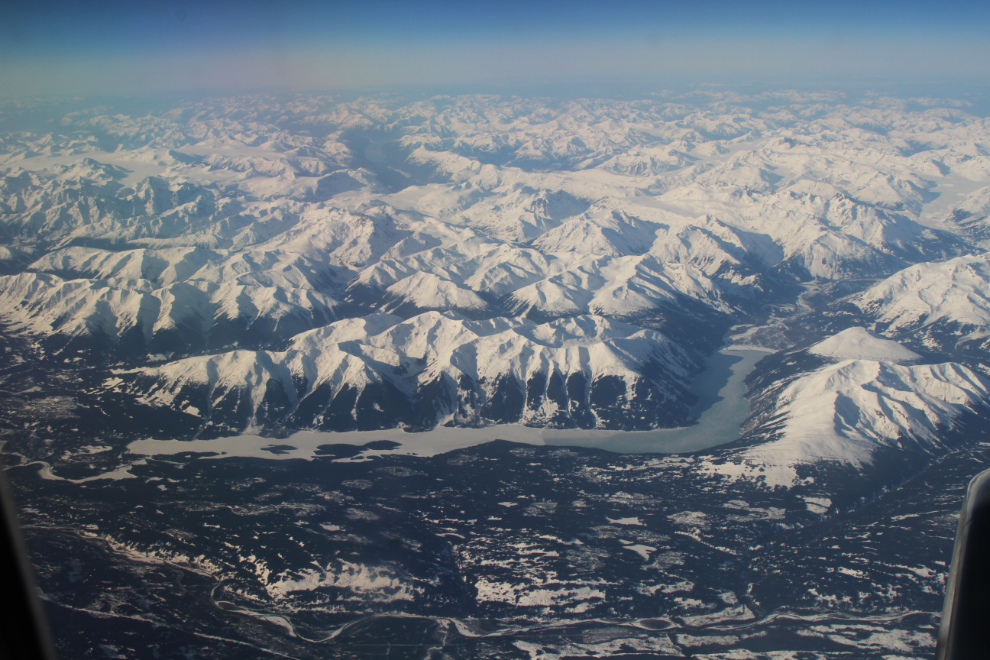
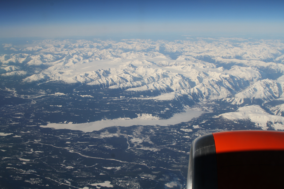
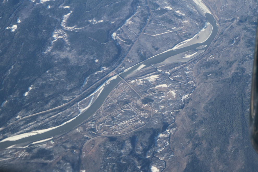
One of my favourite views in the world is this one looking south across Carcross and Lake Bennett. I’ve spent hundreds of days wandering on those mountains and lakes.
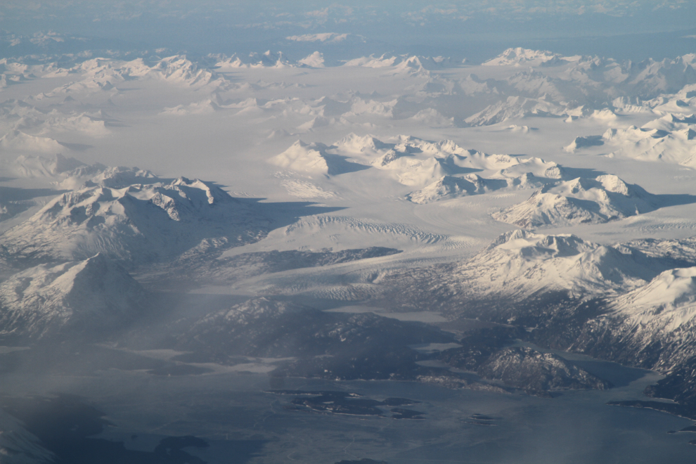
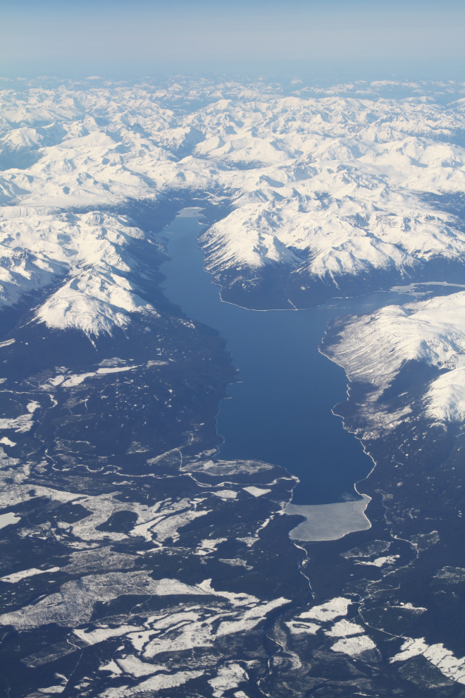
Over Atlin Lake 15 minutes after takeoff, the Llewelyn Glacier and Juneau Icefield are seen to the west.
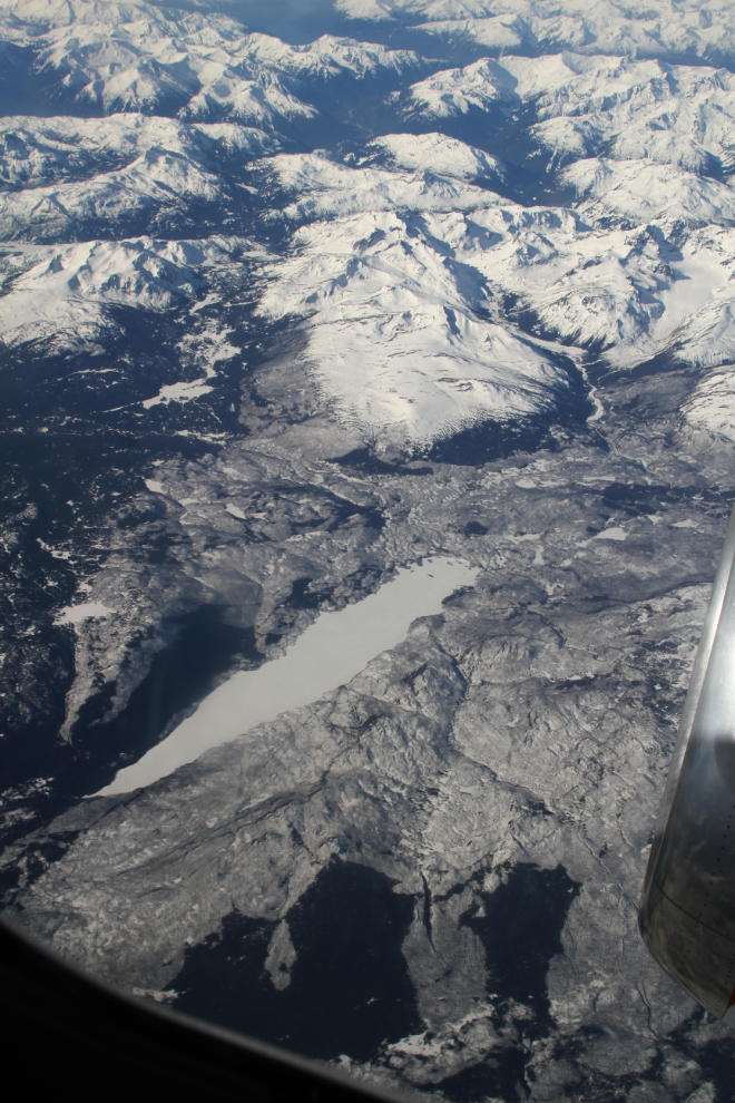
High over the Stewart-Cassiar Highway at 09:48, Bowser Lake was the landmark. Although it looks like it has awesome recreation possibilities, there’s no road access to Bowser Lake.The village of Stewart is at the near end of the dark fiord to the upper left of centre.
Three minutes later, I shot this photo of Meziadin Lake. Highway 37A to Stewart runs along the near side of the lake, and then through the glacier-lined valley marked by the red arrow.
Looking down on the Skeena River and the village of Gitwangak (formerly Kitwanga), at the southern end of the Stewart-Cassiar Highway.
At 10:10, Morice Lake was to the west. The lake is protected by Morice Lake Provincial Park, remote enough that I may never see it (it’s 84 km from the town of Houston).
It was the evidence of a large forest fire that prompted this photo of Oppy Lake at 10:20. It seems to be known to anglers, but access must be quite difficult.
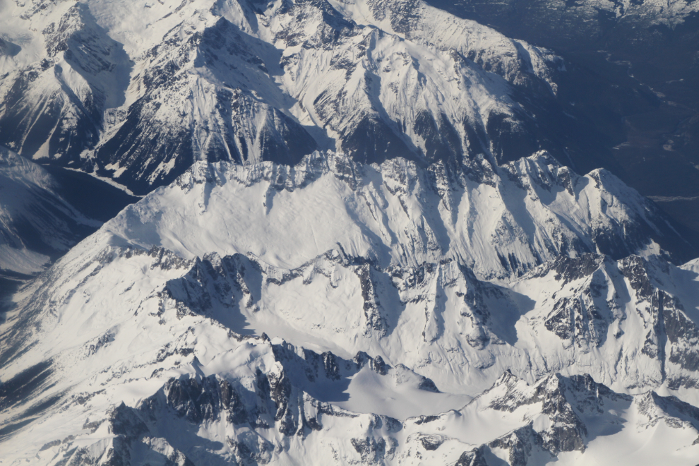
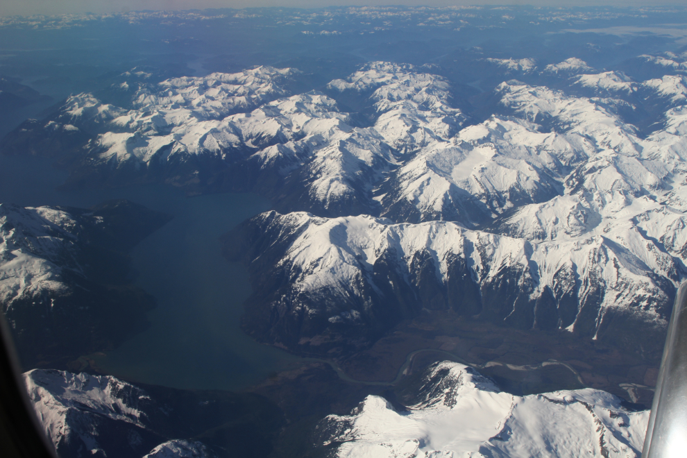
Starting at about 10:30 we were over the most spectacular of the Coastal Range. The village of Bella Coola is just to the west of these peaks that I shot at 10:33.
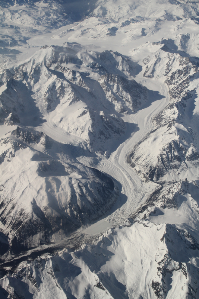
Just a minute later I shot another photo of my favourite glacier on this route. The Scimitar Glacier starts just north of Mount Waddington, and is one of the largest among the maze of glaciers in that area.
Bute Inlet is a fine spot to first meet salt water on this route. The Homathko River flows into the inlet at the lower right of the next photo, which was shot at 10:39. From the Homathko estuary, it’s 80 km to the mouth of the inlet.
The main arm of water in the next photo is Jervis Inlet – Egmont is at the lower left. Two years ago, I spent an incredible day on a boat tour up Jervis Inlet to Princess Louisa Inlet and Chatterbox Falls.
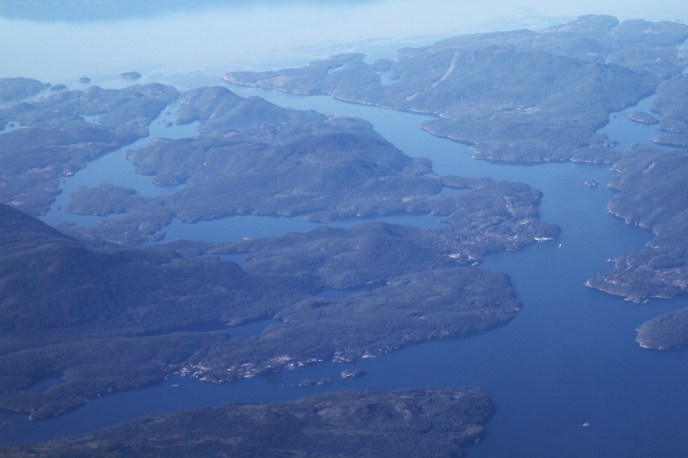
At 10:54 we reached Civilization – that’s Gibsons below, with the BC Ferries terminal at the bottom of the photo. Looking at the details of the last few photos made me realize that I want to spend a lot more time in that area – the week I spent there in 2017 was just a teaser.
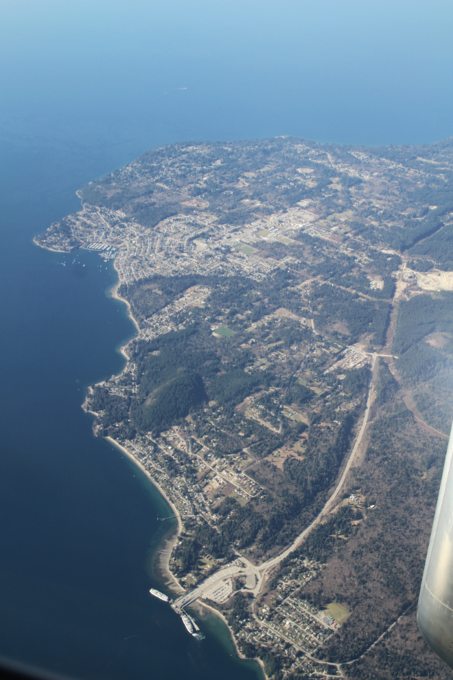
We usually land at YVR on runway 8L or 8R with approaches over the Salish Sea, but I’m always happy to take the scenic route to runway 26L or 26R.
Turning onto the base leg of the approach over Burnaby. In 1974-75 I lived on the 27th floor of one of those towers at left centre. A different life…
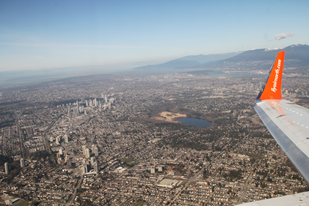
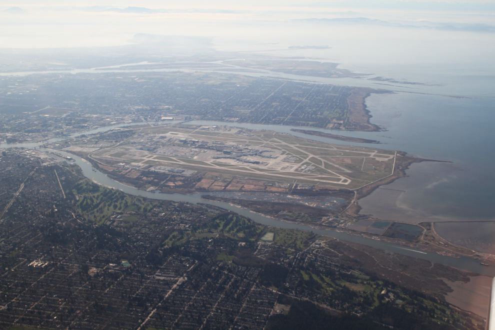
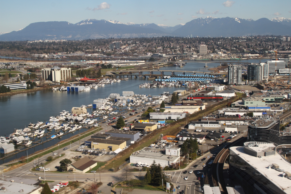
What a busy place! Over the Fraser River right at 11:00, with everything from light industrial to residential and agricultural areas below.
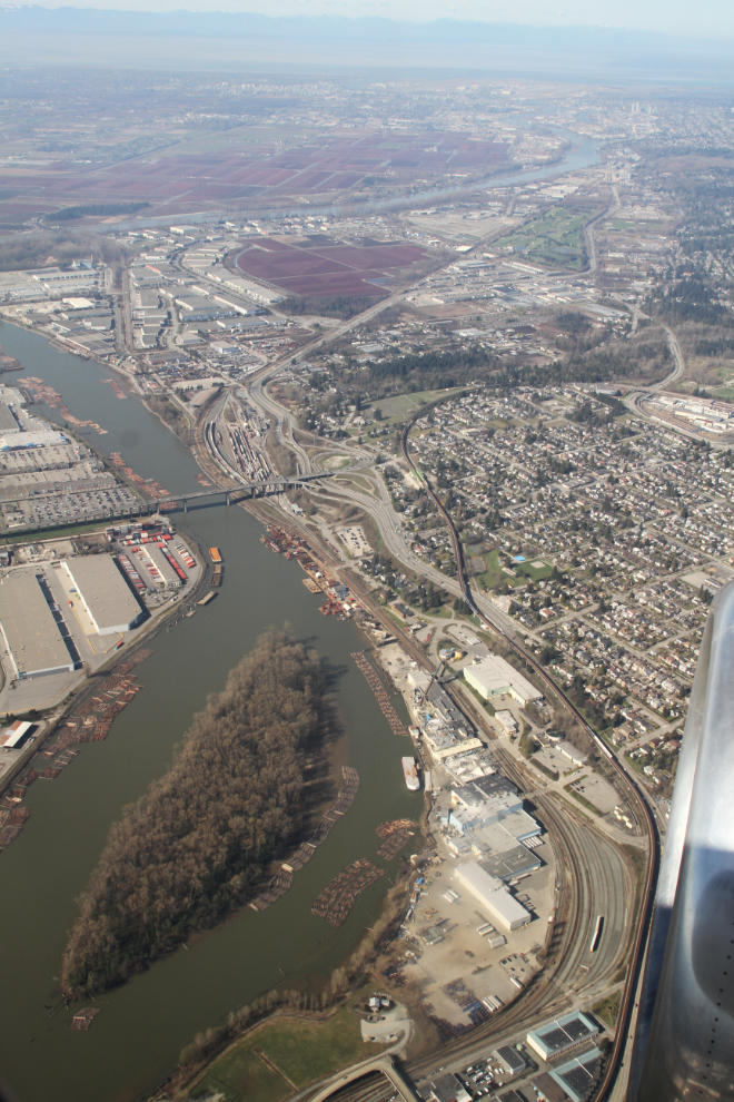
This railway bridge on an industrial spur line only closes when a train needs it – there’s much more boat traffic on the Fraser.
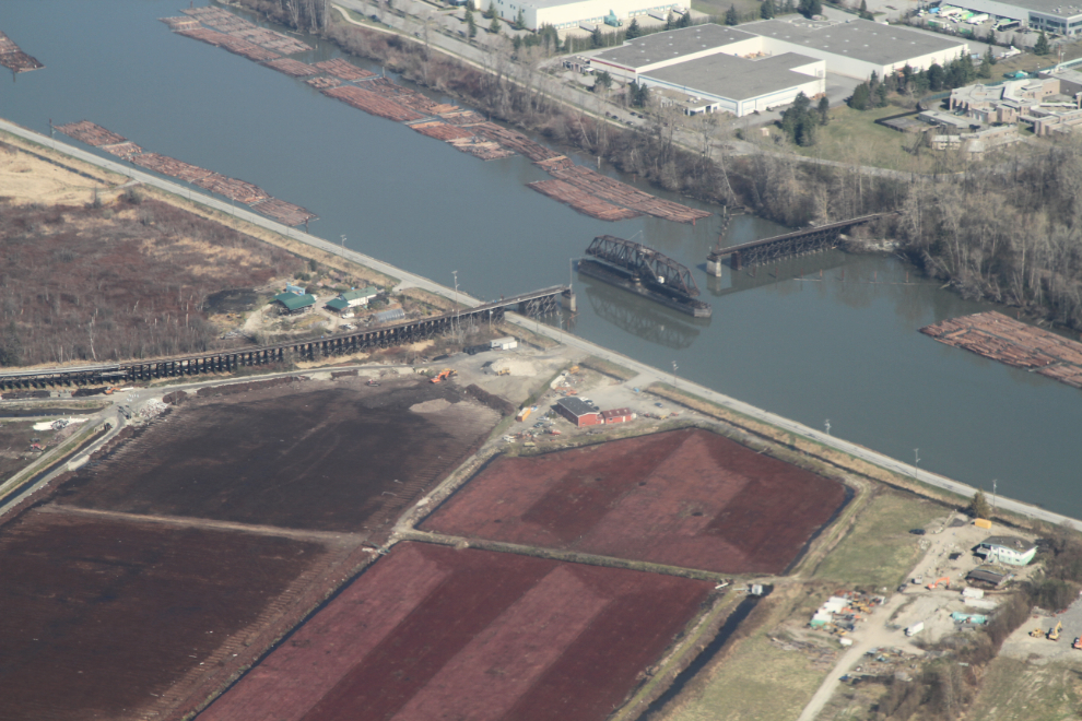
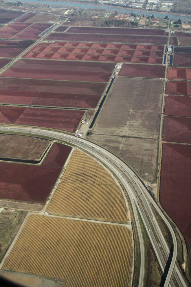
The red cranberry fields have always intrigued me, and I’m really glad that they’re still there.
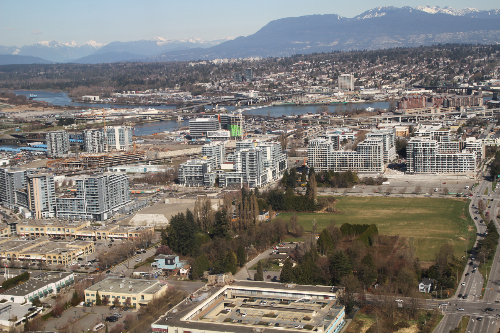
Getting down for a close look at Richmond. I was surprised by the amount of construction going on.
What perfect weather for an outing like this! No stress, just wandering around with my camera for 3 days..
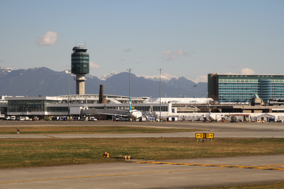
On the ground and taxiing to our gate at 11:06.
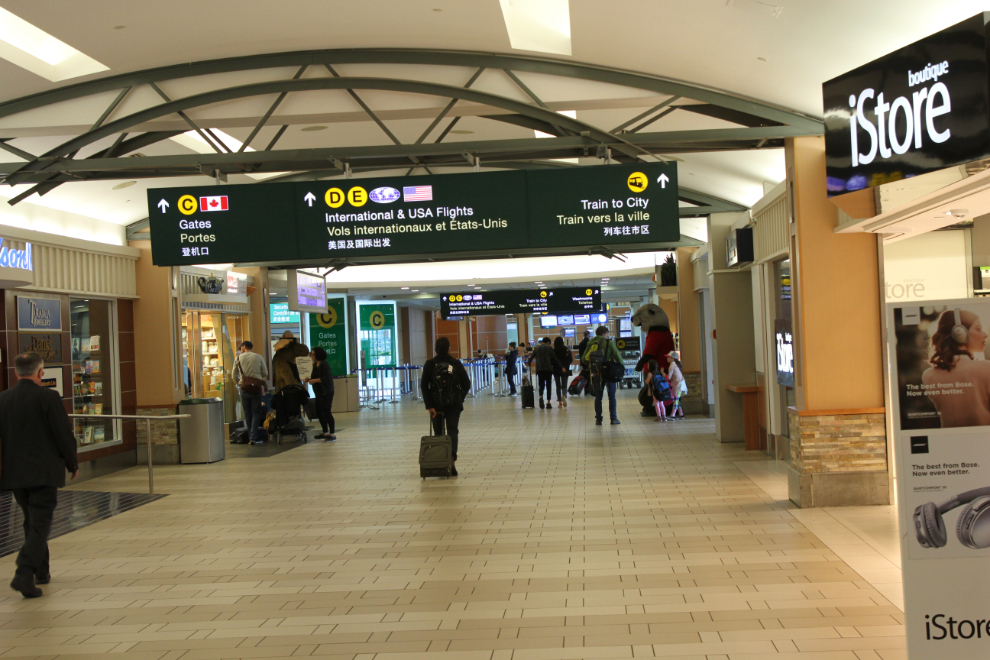
With no luggage to pick up, I was soon on my way to the Canada Line train into Vancouver. YVR has been getting top marks among airline passengers for many years. It’s certainly one of my favourites. It’s easy to navigate, and there are some great places to spend time.
In a few minutes, the main part of the adventure would begin.