Exploring the WP&YR railway along Lewis Lake, Yukon
I’m spending far too much time on the computer lately, scanning photos, slides, and paper of various sorts, in my effort to get my space de-cluttered. But the weather yesterday was so lovely (mostly sunny, headed for a high of 11°C) that I decided to get outside. Soon “outside” turned into a drive, and soon after Bella, Tucker, and I were on the road, that turned into getting a more serious start on documenting the long-abandoned White Pass & Yukon Route railway (WP&YR) between Carcross and Whitehorse.
The basic start to that project is photographing the rail line at each of the road crossings – there are probably only about 20 crossings in the 60-odd miles of this section of the line. I started driving south on the Alaska Highway, thinking to start at Carcross and work my way north.
My first stop was at Robinson, though. The crossing on the Annie Lake Road just 50 meters or so from the South Klondike Highway has the best remaining signage on the railway.
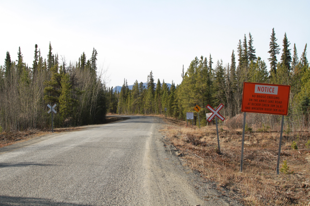
The next photo looks north down the rail line. While the line is barely walkable in my area to the north, it wouldn’t be too bad here. The WP&YR shut down on October 8, 1982, due to the closure of the Yukon mines it depended on for freight. The official statement that day was that they were closing for the winter, but the Anchorage Times said there was a good chance it wouldn’t re-open at all. The line was cleared and repaired to run a special promotional train to Whitehorse on October 10, 1997, but no train has been on it for the past 23 years.
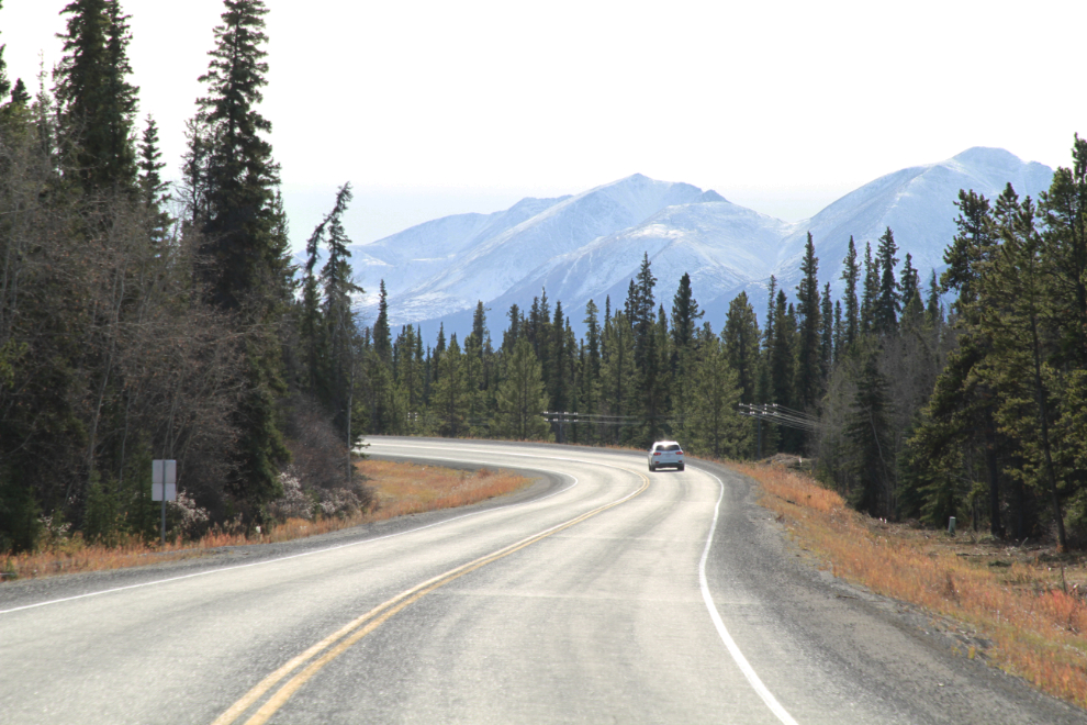
Back on the South Klondike Highway, looking south at Km 139.5 (measured from the Skagway ferry terminal), in front of the historic Robinson Roadhouse complex. This view made me want to go home, get the motorhome loaded and hit the road for a couple of weeks!
For a few hundred meters, the railway is right beside the highway, at Km 139. I imagine the traffic-stopping thrill of seeing a train go by here.
At Km 137.3, an old section of highway can be seen wrapping around a hill that the current road cuts through. In the distance, a telephone line along the railway can be seen just below and to the left of that former road.
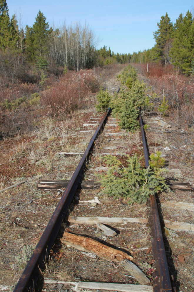
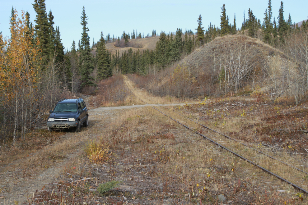
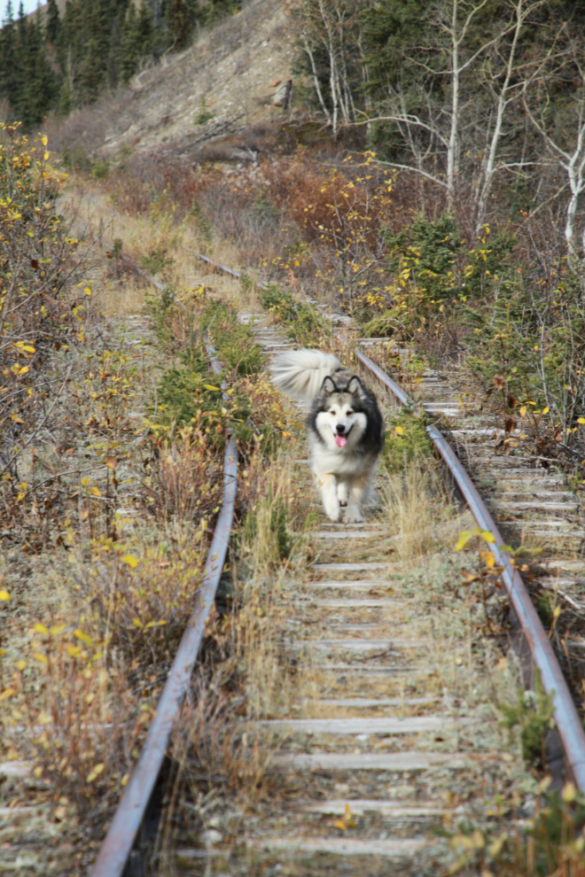
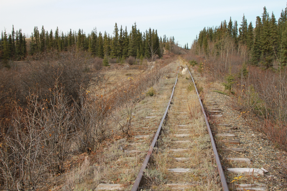
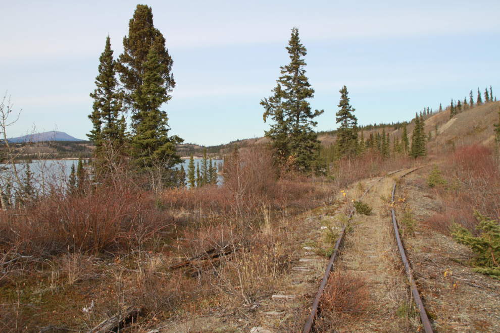
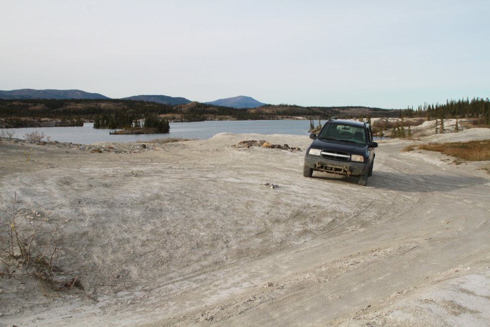
Our next stop was the railway crossing on the Lewes Lake Road, which is about 2 km west of the highway. I was very surprised by how clear of trees and brush the line is here, and it didn’t take long to decide to go for a walk. We started walking south, but soon decided that north had more interest, with the railway running along the entire length of the lake. We started walking north at 2:50.
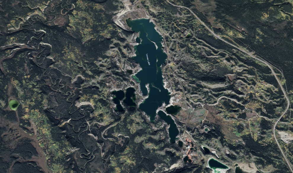
Although the lake is now usually called “Lewes” Lake, it’s name is actually Lewis Lake, and that’s the name I’ll be using. Lewis Lake was named for WP&YR railway engineer A. B. Lewis, not for a success but for a significant screw-up at the lake. On September 11, 1899, construction crews had reached the foot of the lake, and Lewis decided that if they drained the lake by 10 feet, a much easier grade could be located. On September 14th, crews began cutting a 4-foot-wide ditch acros the sandy 300-foot-long ridge that held the lake back. Opening that ditch to the lake at 2:00 that afternoon, it rapidly became apparent that things were not going to go as planned. The water from the lake quickly washed away the sand, opening the ditch to 100 feet wide and 10 feet deep. That evening, a huge collapse of the ridge occurred, and the ensuing torrent flooded the valley right down to Lake Bennett, 15 miles south. The lake level was lowered by 70 feet, not the planned 10 feet. To cross the canyons that now existed, the White Pass had to build two bridges, each one nearly 50 feet in height and 600 feet long. Getting supplies to build those bridges in before winter arrived was a huge challenge. Materials did arrive, though, crews worked through the winter building the bridges, and on May 10th, the rail line across them opened.
Here’s Lewis Lake from a height of 5,851 meters above sea level (19,196 feet asl) – Lewis Lake is at 727 meters (2,385 feet) above sea level. Go to an interactive map at Google Earth here.
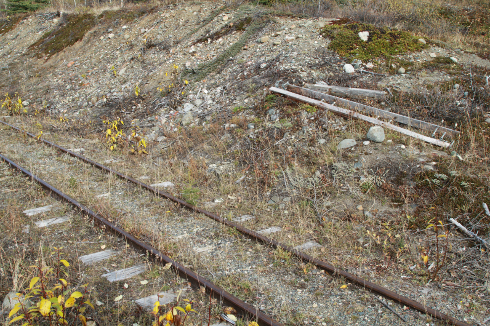
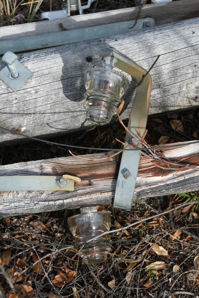
The telephone/telegraph poles have all been cut down along this section of the rail line. The valuable poles were removed, as was the dangerous wire (that was the reason for removing the poles, etc), but the crossbars remain.
Seeing a smile like that on my little girl’s face makes my day 🙂 She went right to sleep when we got home, and is asleep as I write this.
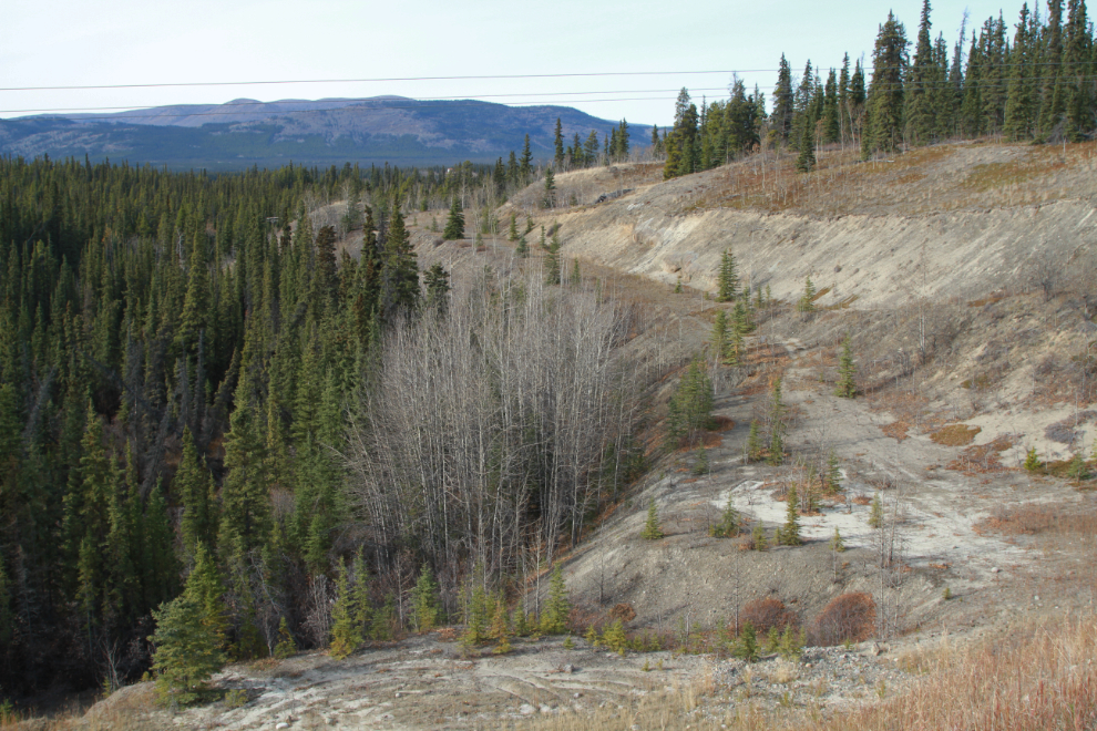
This is very interesting country geologically, with all sorts of glacial and post-glacial formations and deposits. The construction-period WP&YR reports say this was the easiest part of the entire line to build – nearly level and with gravel hills like the one on the left in the distance available to fill the low spots like the one I was standing on.
We passed several pairs of tracks used to move motorcars (“Casey cars) off the line when trains were coming.
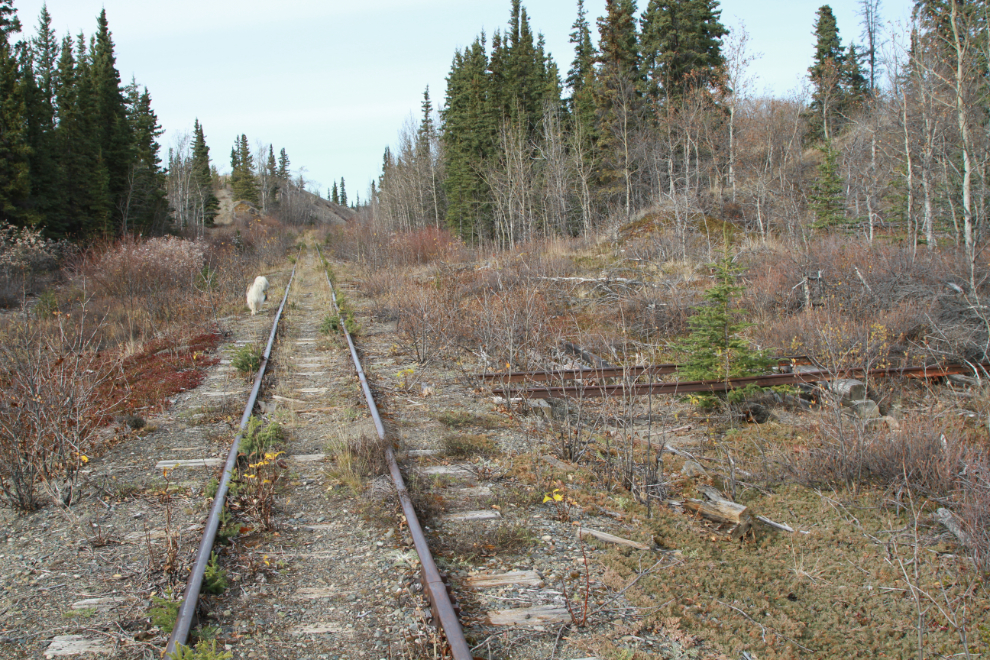
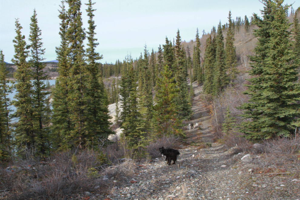
An ATV trail runs alongside the rail line – you can see it climbing the hill in the next photo. I expect that it was originally where the Canol pipeline was laid during WWII, but seems to be quite well used now.
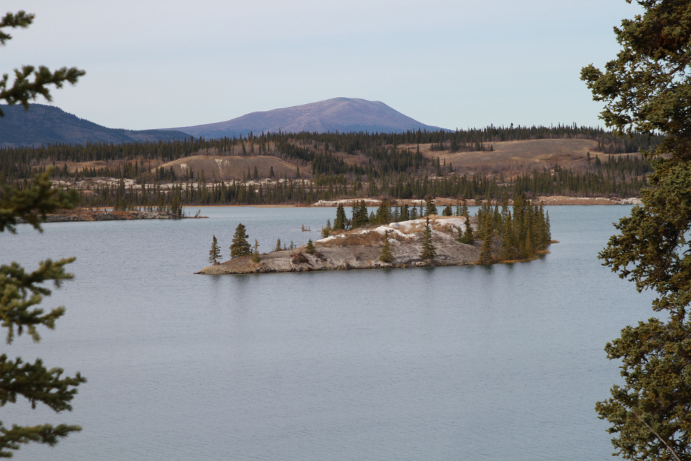
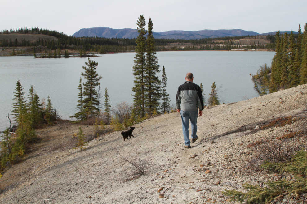
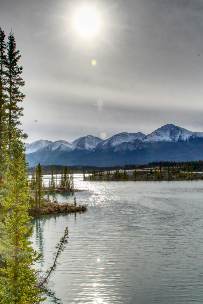
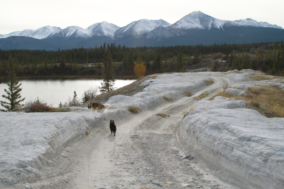
By 3:10, only 20 minutes from the car, the views of Lewis Lake were very nice.
This looks like it would be a wonderful lake to canoe, kayak, or SUP, but access isn’t very easy.
The views ahead kept getting better and better, drawing me beyond where I felt I should probably turn back.
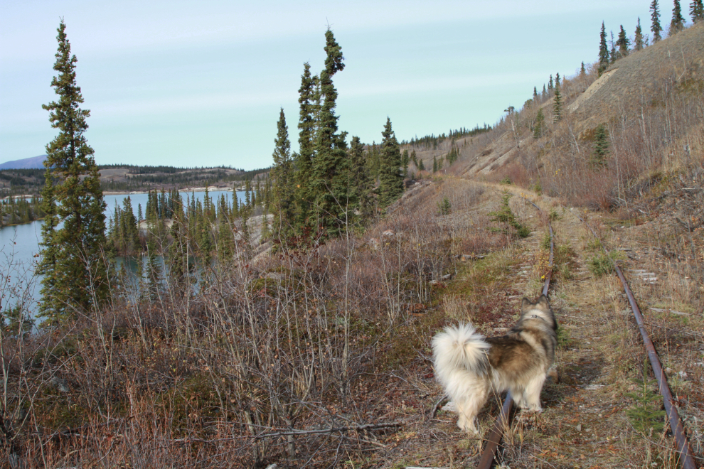
The ATV trail went onto the rail line for a couple of hundred meters where the dropoff was too steep, but in the next photo it can be seen returning to the side.
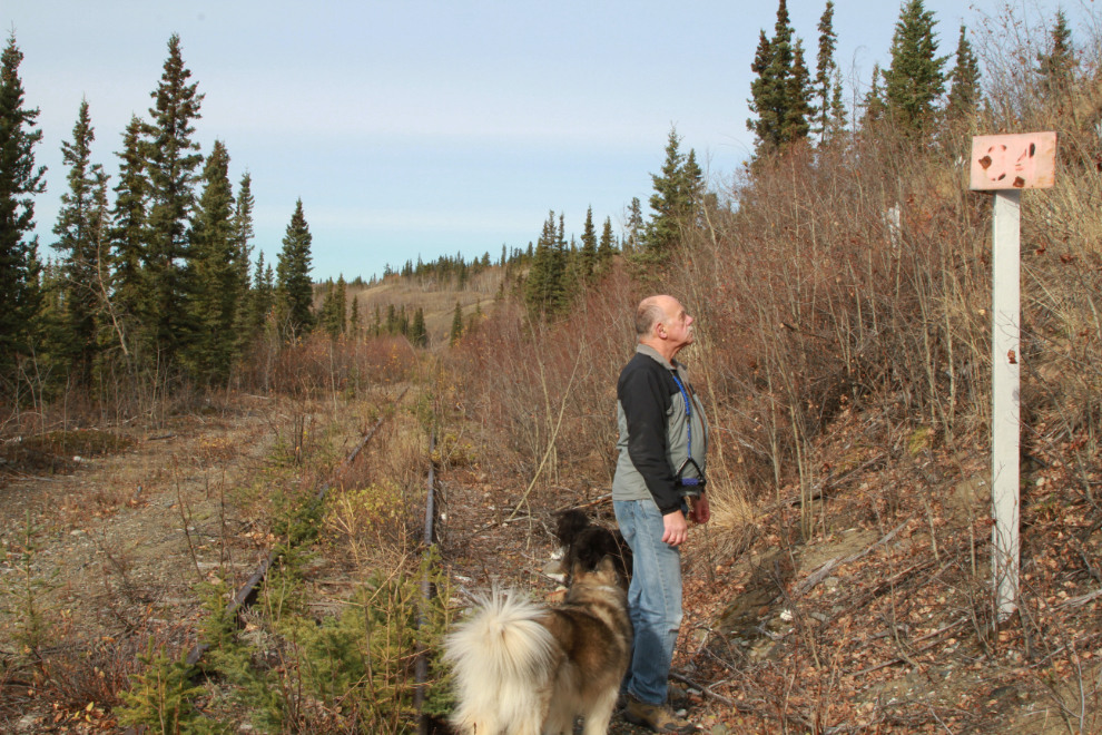
One of my hopes was to reach one of the mileposts, to orient myself to where we were on the line.
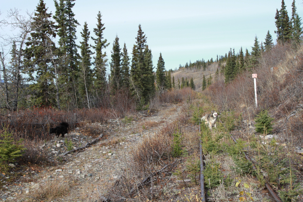
This was MP 84 from Skagway (Whitehorse was MP 112). The other side wasn’t as faded and the number was clearer.
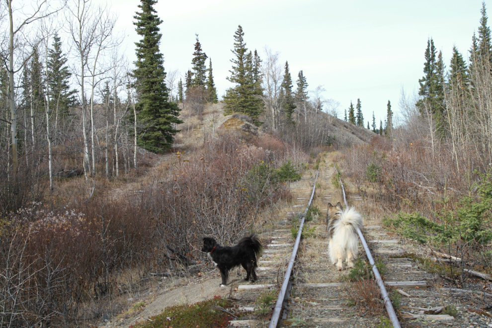
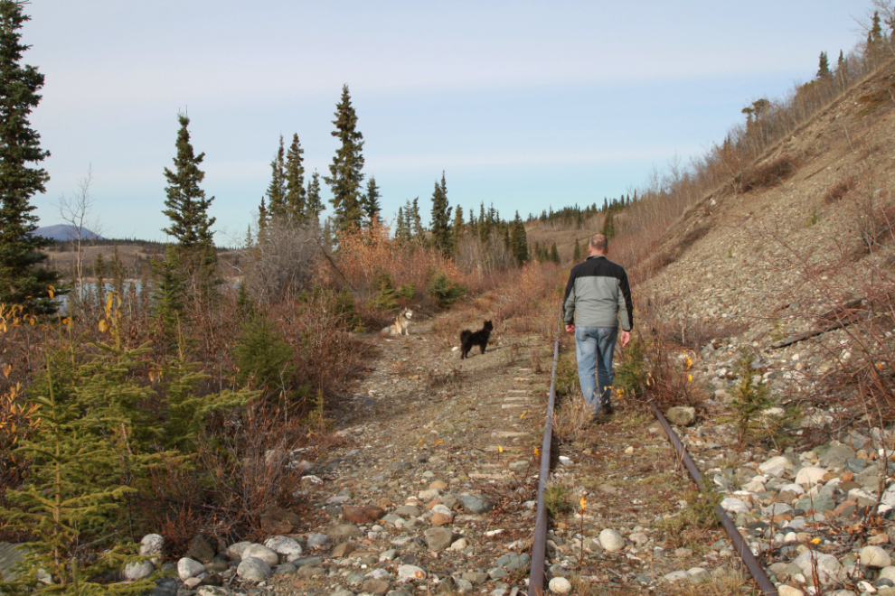
At 3:25 we followed the ATV trail, hoping to get lake access so the kids could get a drink. This is where it occurred to me that a mountain ebike might be just the thing for outings like this.
That little side trip got the lake access I wanted, and Bella was happy to go for a dip and get a drink. Tucker wasn’t interested in either.
The next photo was shot from the same spot. Just after 3:30 we started back. I was starting to not feel very well, and knew I’d gone a bit too far.
Close to the Lewes lake Road, all the glass insulators except the broken ones were gone, but there are plenty left here. They’re pretty much worthless, though – I sold my accumulation of about 100 of them for $100 about 4 years ago if I remember correctly.
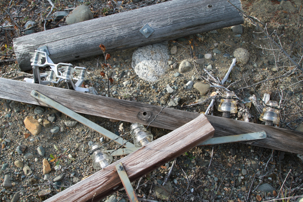
Here are 3 different glass insulator designs all together.
There were a few times I wanted to lay down on the tracks and have a nap, but I pushed through and we got back to the car just before 4:00. Before heading home, though, I had to have a look at the part of the lake you can drive to.
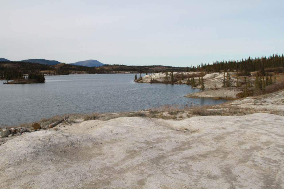
It is quite a lovely spot, and sees few visitors. We had the place to ourselves but didn’t stay long.
We got home just before 5:00. It had been a great afternoon. It was a really significant afternoon for me. Three weeks ago, I added acupuncture and massive doses of a special Omega 3 to my two therapists, and something is working. I’m one week away from 14 months since my brain injury, and this is the best I’ve felt in that time. I’m still a long way from 100%, but it’s still very good. Perhaps even more significant, I feel good this morning even after that outing – I was afraid I’d crash because of over-doing it. Fingers
More adventures coming! Thanks for joining me 🙂
Thanks, Murray! Always appreciate your blogs and the accompanying photos. Thanks for allowing us to “see” areas many of us will probably never be able to visit in person. Glad you are feeling better. Hope you recover fully soon.
Comment Great pictures Murray. Thanks for the memories of many years ago. Glad you are feeling better. Acupuncture is great if you get someone that is good at it. It does wonders.
Great photos! Glad to hear you are feeling better Murray!
Great adventures and I love the pictures of the lake. The island looks very cool.
Very interesting Murray , I enjoyed your rail road adventure and I look forward to more.
Thanks, Bob. I hope to be back out very soon – maybe even tomorrow if the forecast holds 🙂