Exploring the WP&YR rail line south from Spirit Lake to Carcross
On August 26th I returned to Spirit Lake with my e-bike to continue exploring the long-abandoned White Pass & Yukon Route rail line. This time I rode south. My hope was to reach Carcross, and that goal was reached.
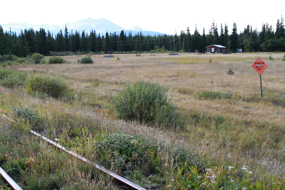
The first photo shows the start of this exploration at 12:07 – looking south at Mile 73.9, with Caribou Ridge ahead. On August 19th I started my ride north from here.
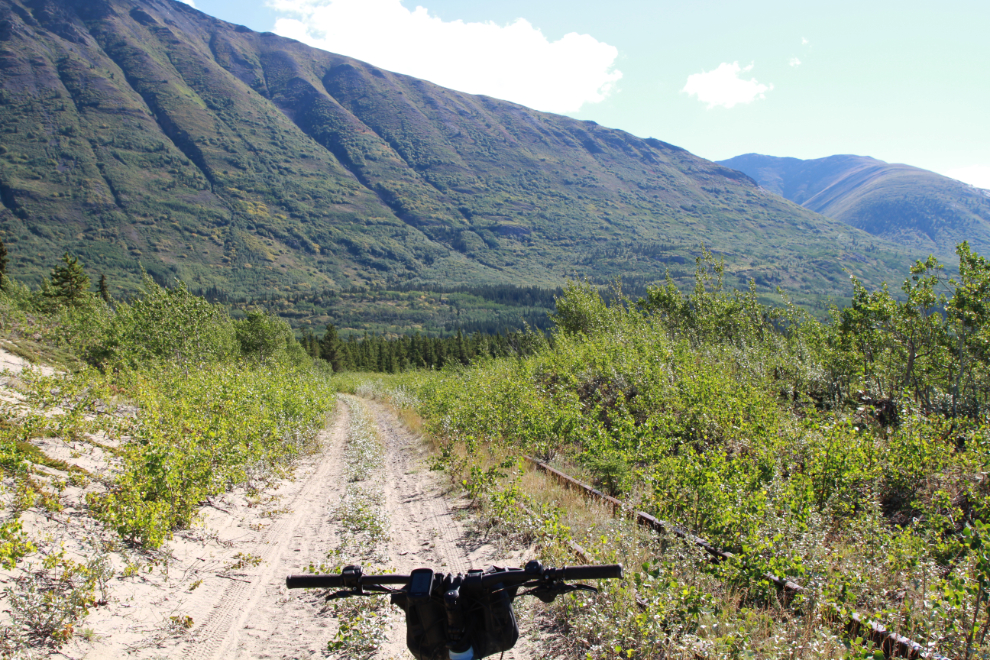
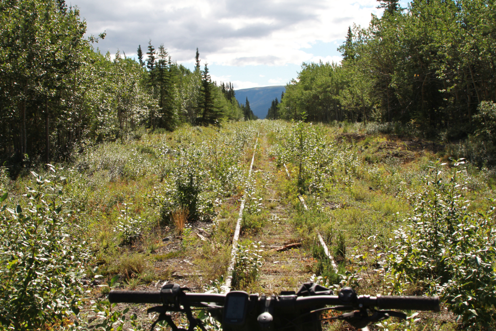
Three minutes later – I had high hopes for a lot of riding of this quality, being able to ride on fairly smooth and brush-free gravel beside the ties.
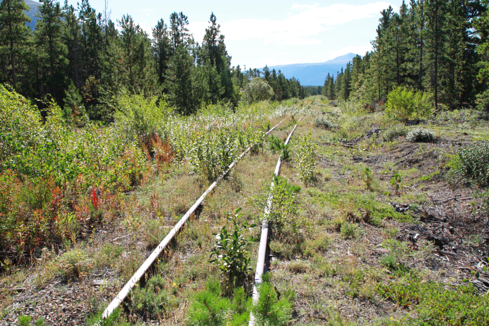
I soon came to the first of the speeder sidings, at about Mile 73.3.
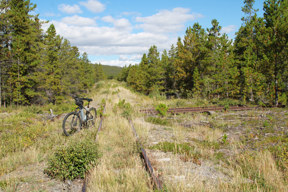
At 12:15 I came to a very old road crossing. In the direction of the highway it was overgrown to the point of being barely recognizable, but it was a good dirt road to the west so I went for a look.
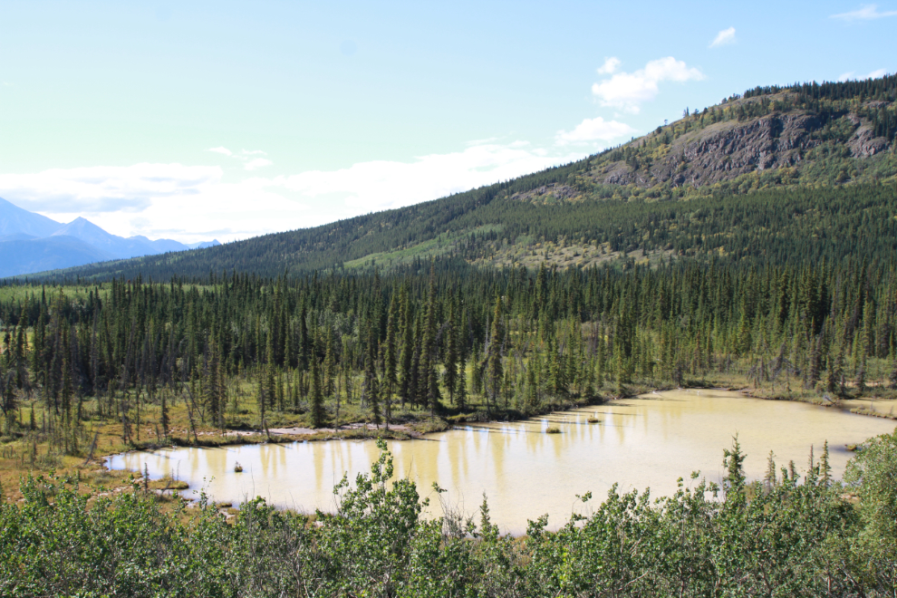
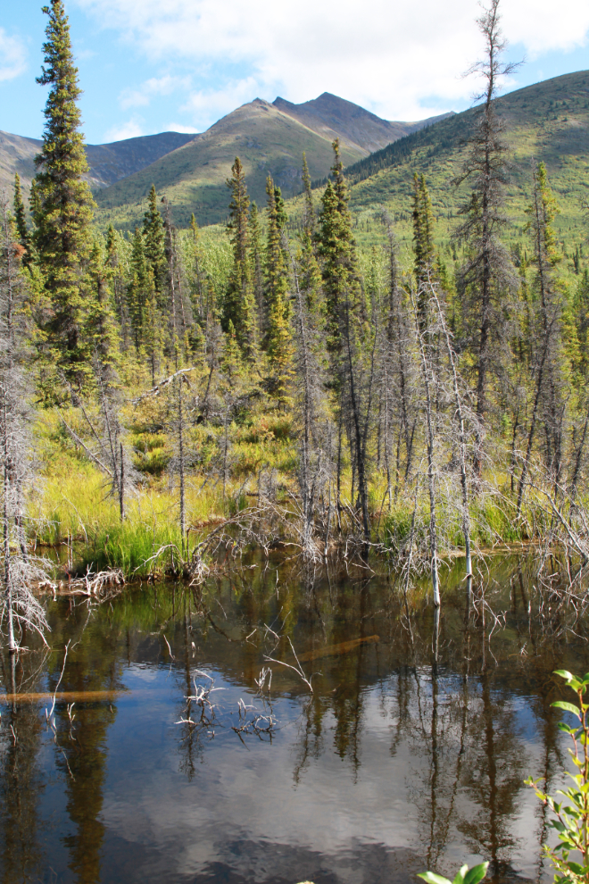
In just 350 meters the road came to an end overlooking this muddy little lake. I couldn’t figure out either the road or the reason for the water to be muddy. Just more of life’s little mysteries 🙂
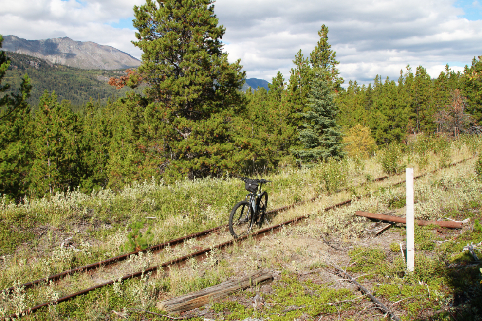
At 12:25 I reached MP 73 but the sign from the post is gone.
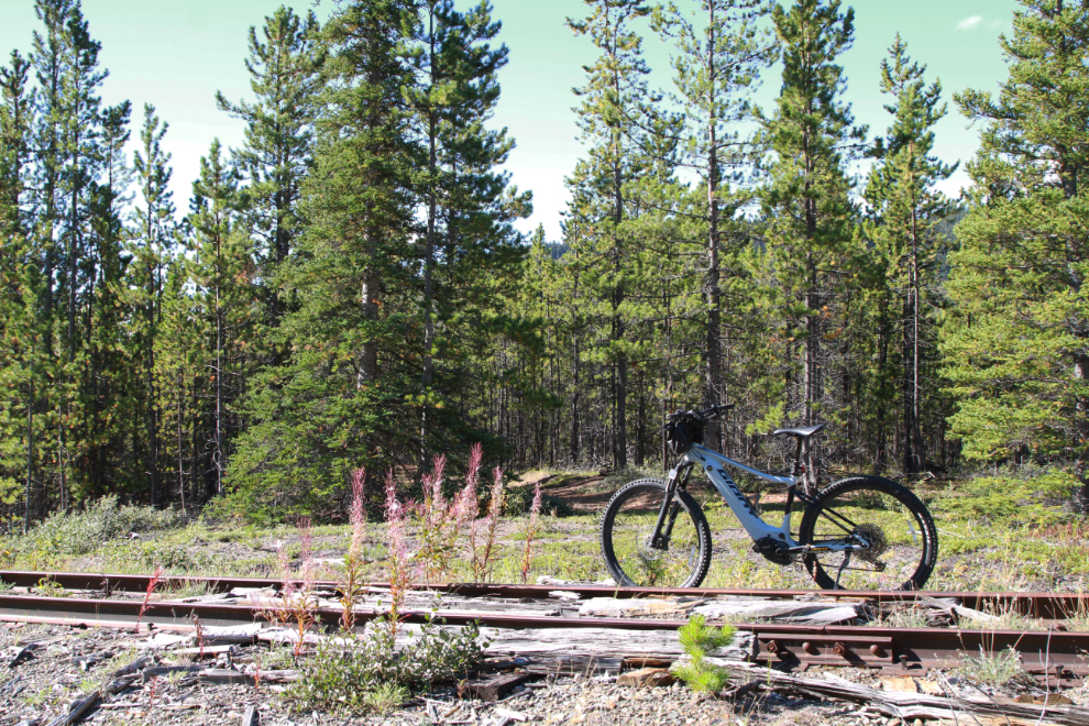
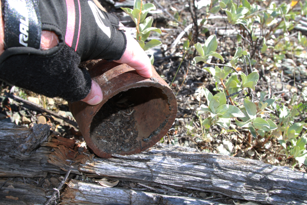
A short section of pipe from the WWII CANOL system has been set up on display on a couple of ties.
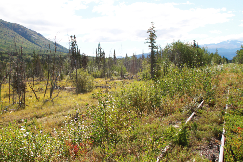
It smelled like Fall along this swampy section 500 meters further south.
At 12:40, at about Mile 72.3, I came to a major washout.
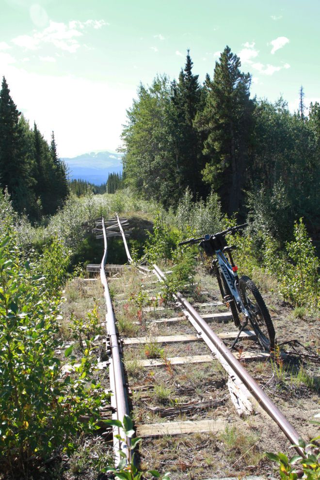
Although there was some plywood across the small creek, this was the end of the road that had been running alongside the rail line. The railway had run across a steel culvert here, not a bridge – I could see it far downstream.
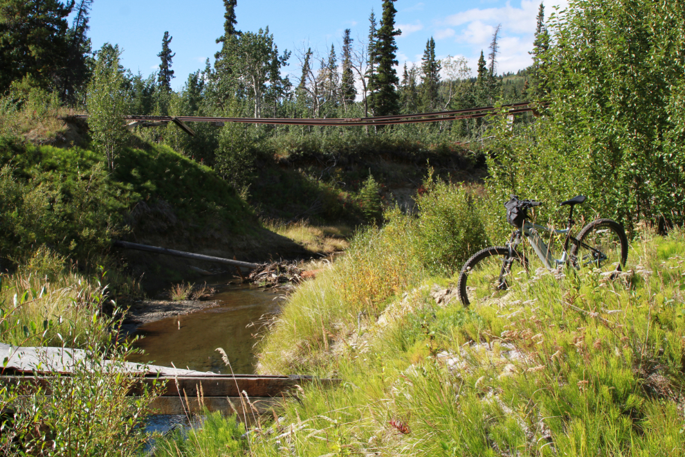
The next photo is the one I chose as the Featured Image for this post. Although the riding was quite rough here, this section of the line had a great feeling to it. The temperature was about 15°C/59°F but the sun was warm and there was no wind. There were no bugs.
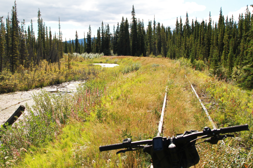
At 12:53 I reached MP 72 – the sign is just barely legible.
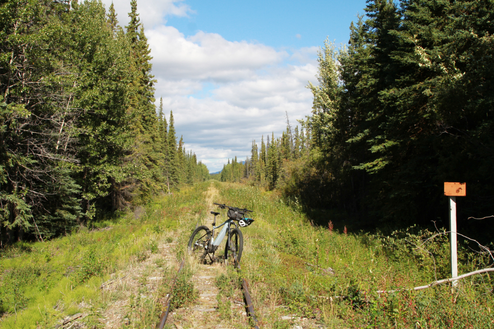
Ouch! All of a sudden there was a big hole right in front of me, and down I went. It was a collapsed culvert. It was a good thing I was moving very slowly – there was no damage to me or the bike.
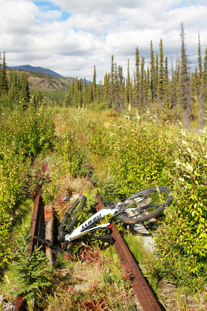
Lovely country to be alone in. I shot this right at 1:00 pm. I knew of course that I wasn’t really alone, and a can of bear spray was handy just in case.
Five minutes later, at about Mile 71.3, the riding was getting to be too rough so I moved over the the road which had re-started a ways back.
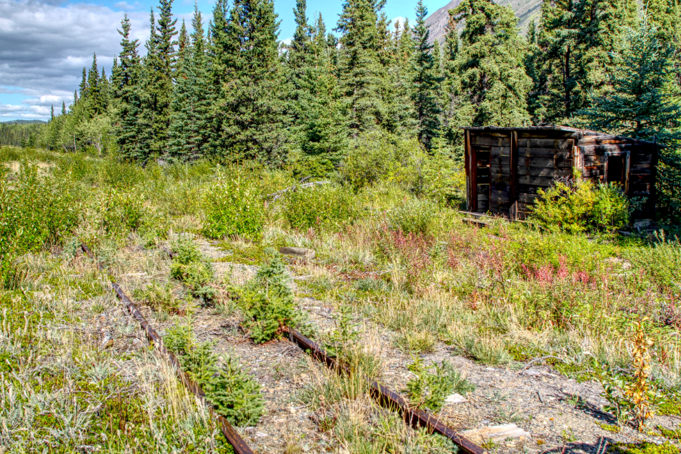
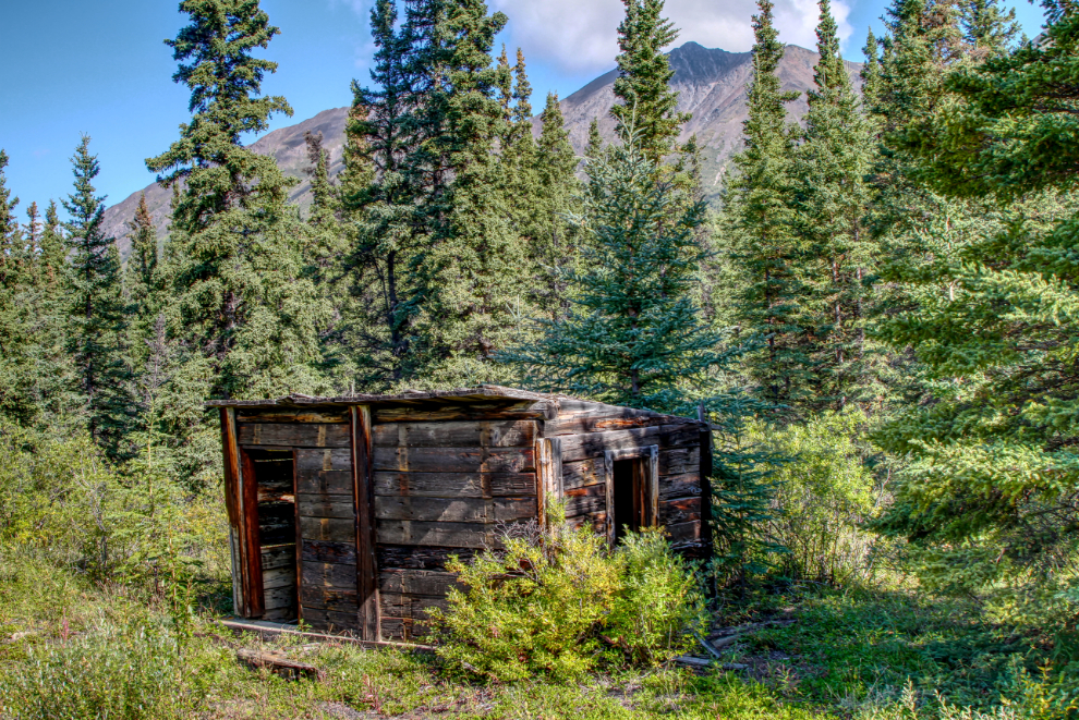
Just north of Mile 71 I came to this very sturdy little shelter made of old ties.
A closer look at it. It was a shelter for track crews, I expect.
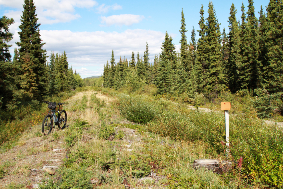
Mile 71, at 1:12. This sign is not legible at all.
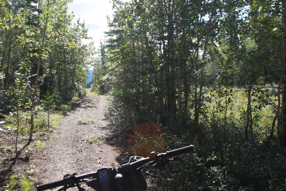
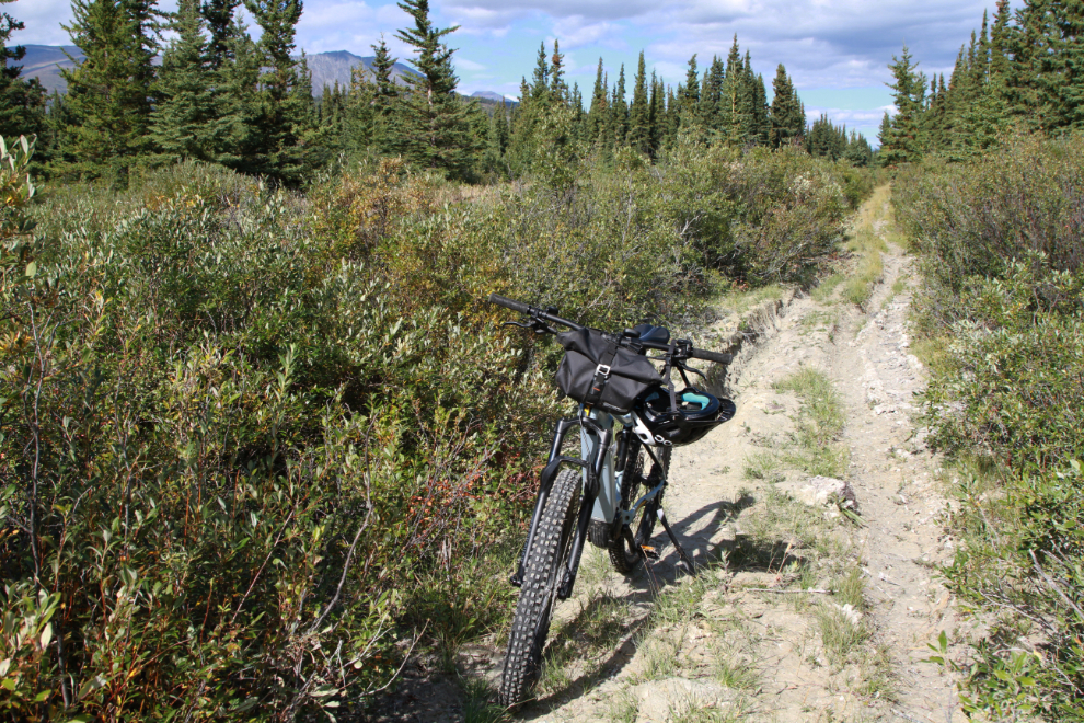
I moved over to the road again for a bit but it was pretty much as rough as the rail line 🙂
At 1:18 I reached the Carcross Gun Club property. I was almost back to my home for a few years, and knew the country well from here on.
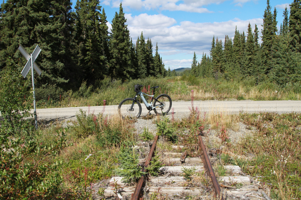
The crossing for the access road to the gun club and the Carcross sewage system.
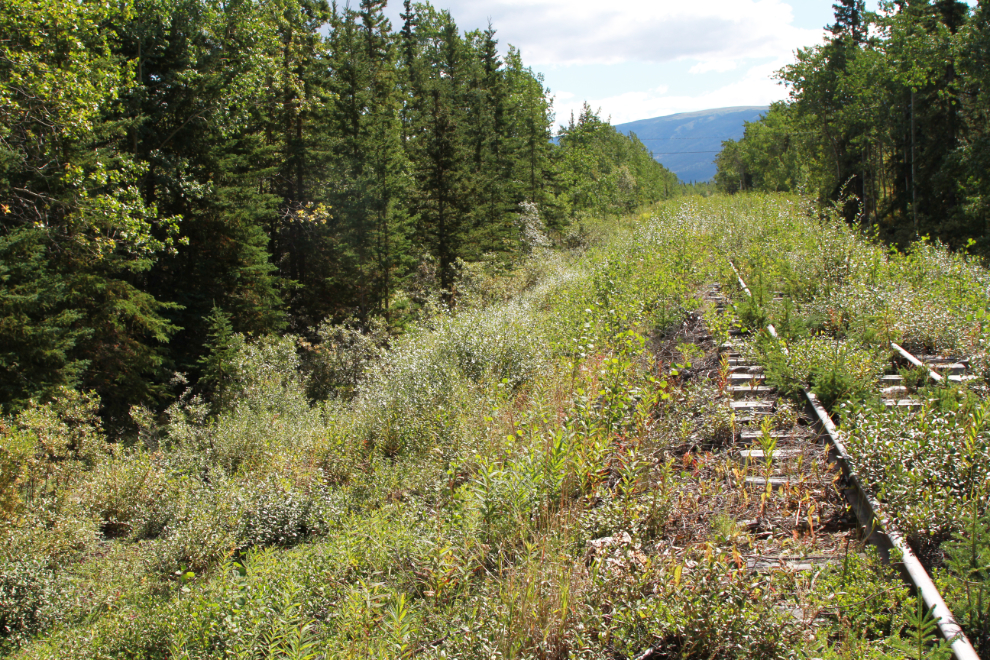
I had to walk for a while here as the gravel had sloughed away from the sides and the ties were sticking up too far to ride on.
At 1:34 I crossed the access road to the Watson River Subdivision – across the South Klondike Highway is the Caribou Crossing Trading Post tourist operation. In about 1999 I built the company’s first Web site for the previous owners – that seems like a previous life now.
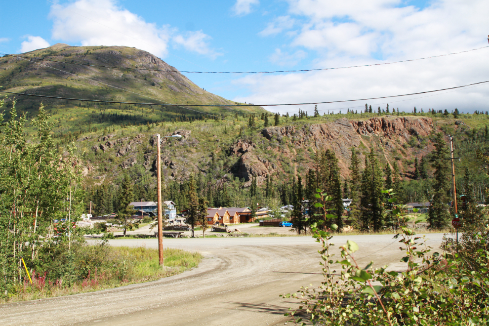
The view south from that crossing. I was back and forth between road and railway as conditions changed.
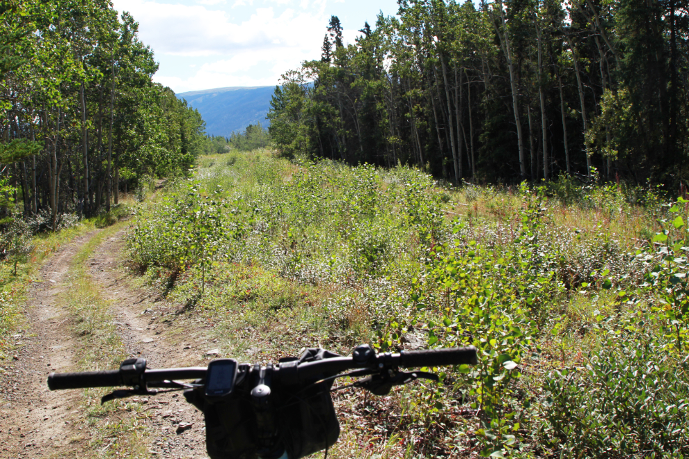
From the Watson River Subdivision south, the railway runs across the Carcross dune system, part of which is famous as the Carcross Desert, the world’s smallest desert.
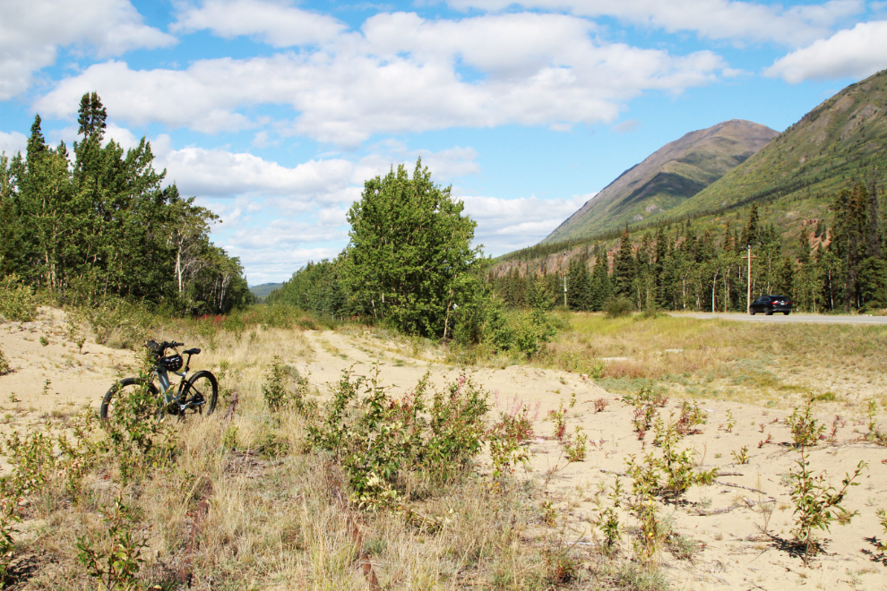
I didn’t see the MP 70 post but it should be about here, where there’s another speeder siding. That’s Caribou Mountain in the background.
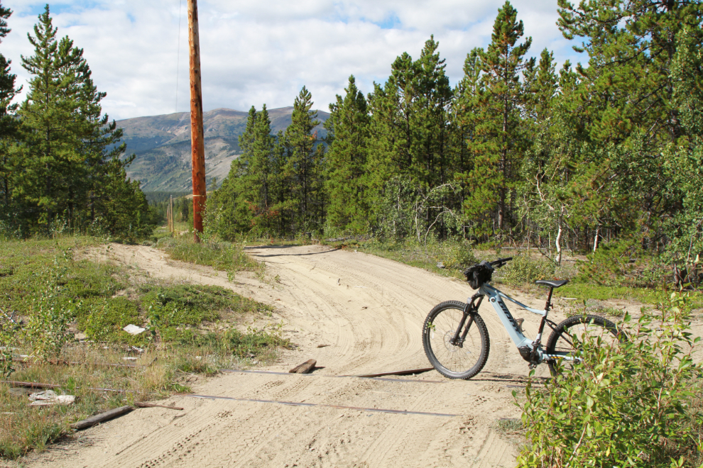
This is the main access into the northern part of the dune system and Lake Bennett beach. Although it looks good at this point, it soon turns into a 4×4 road.
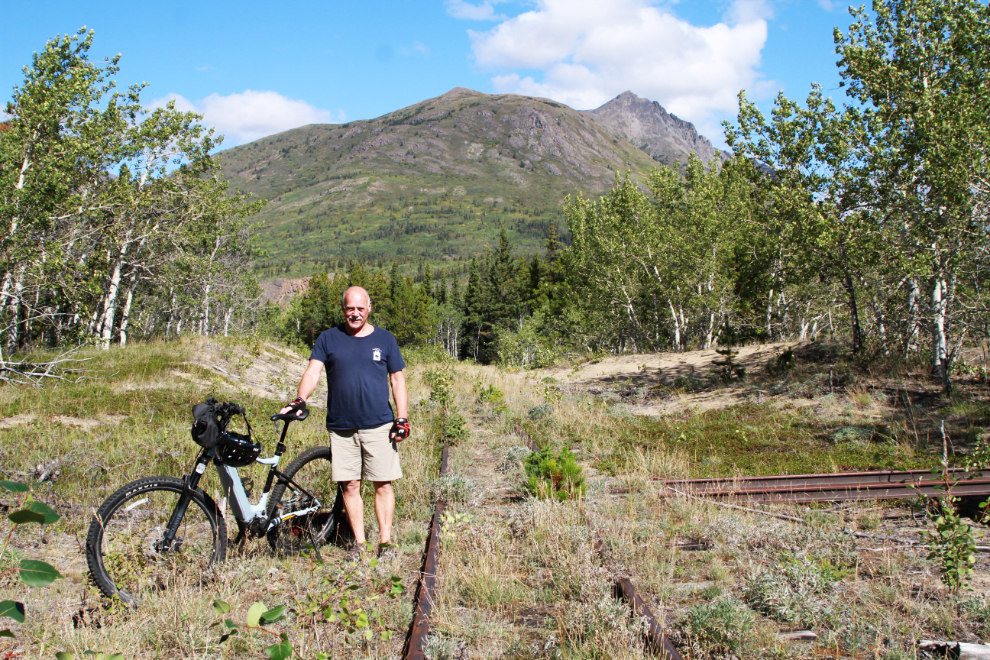
MP 69, at 1:54. This sign is another barely legible one.
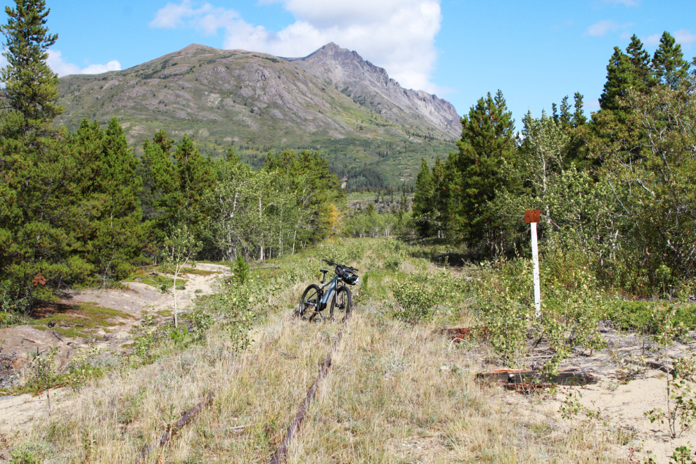
I was very pleased with myself now. When I started I hadn’t been sure I could make it to Carcross, but I was almost there.
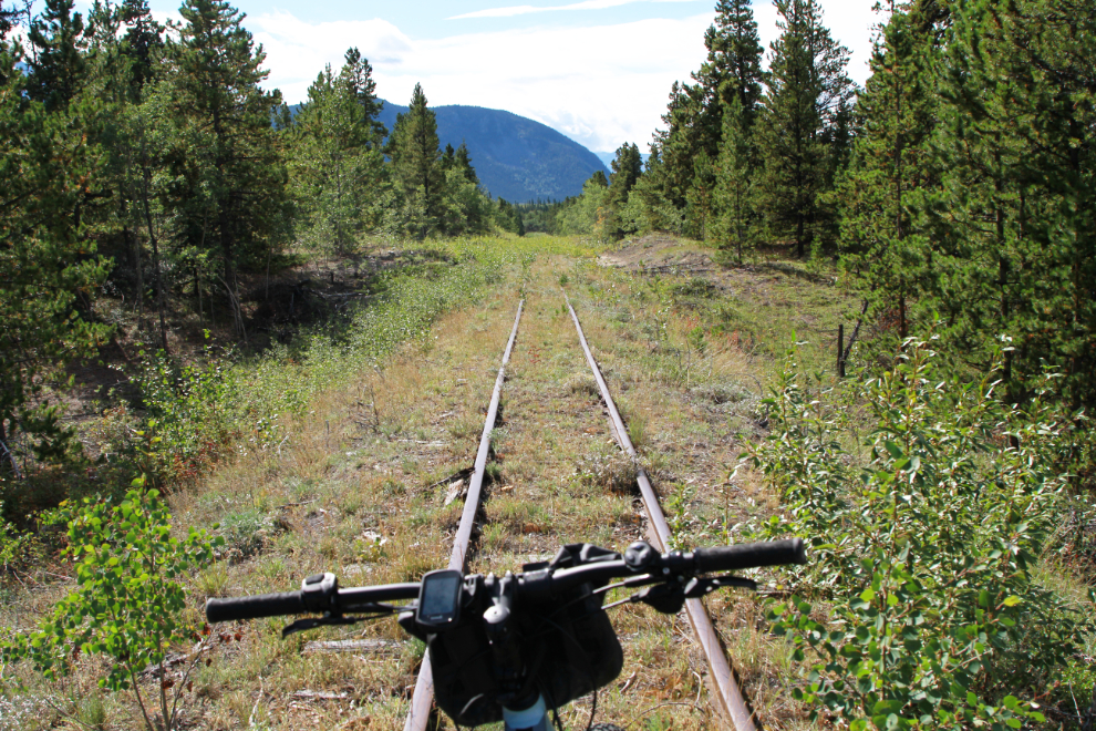
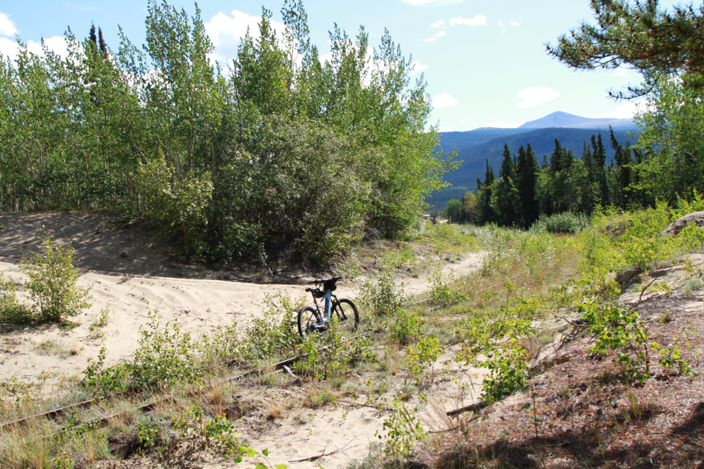
Cutting through a small overgrown sand dune at about Mile 68.1, at 2:00.
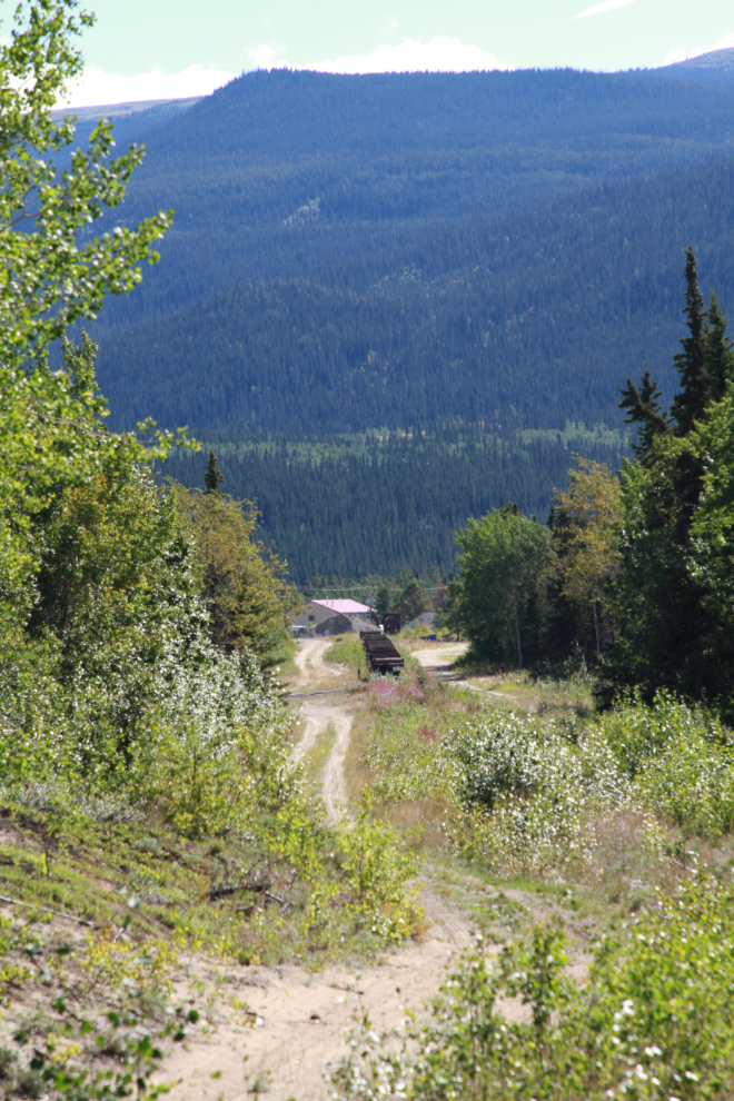
Carcross was visible dead ahead from that spot.
A new loop track was built just north of Carcross a couple of years ago to keep that sort of shuttling away from the vehicles and people in the tourist area.
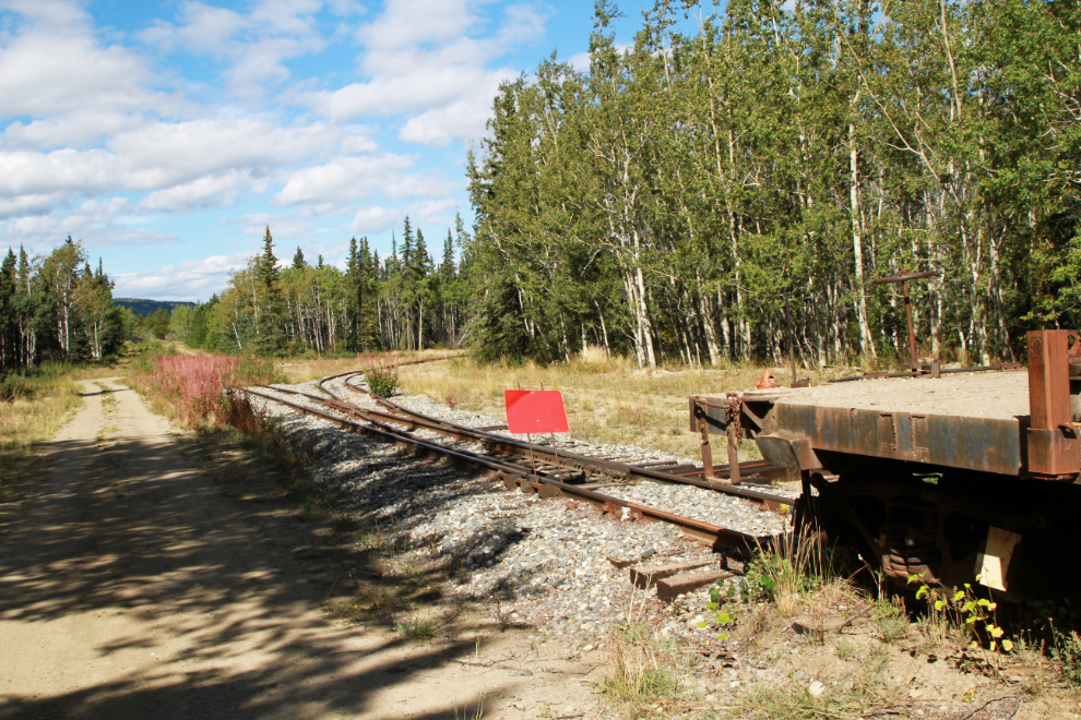
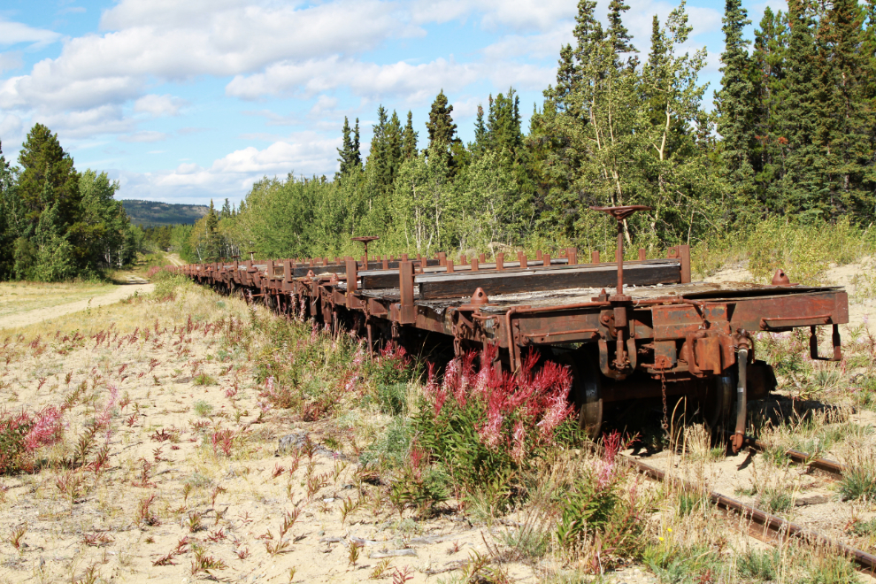
A line of perhaps 15 flatcars is lined up. A friend in Carcross said some were being moved a few days ago, though she didn’t notice in which direction (being added to this line or removed from it). It’s possible they’re being moved to Skagway to be scrapped as all the tank cars were in recent years.
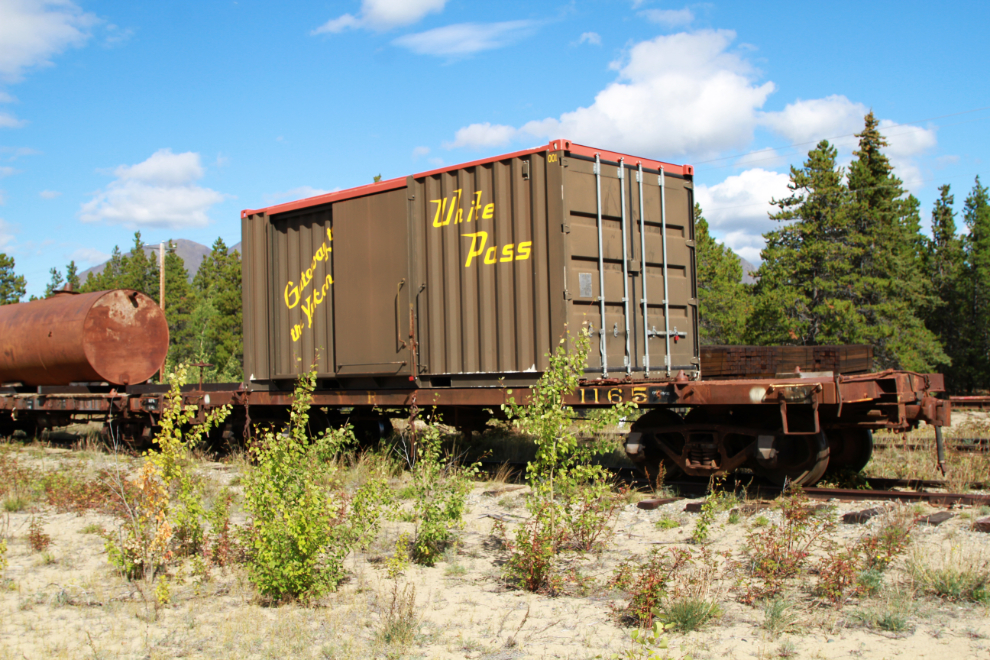
This “boxcar” – a shipping container on flatcar #1165 – has been used for Chilkoot Trail hikers, but I think the pandemic halted that service.
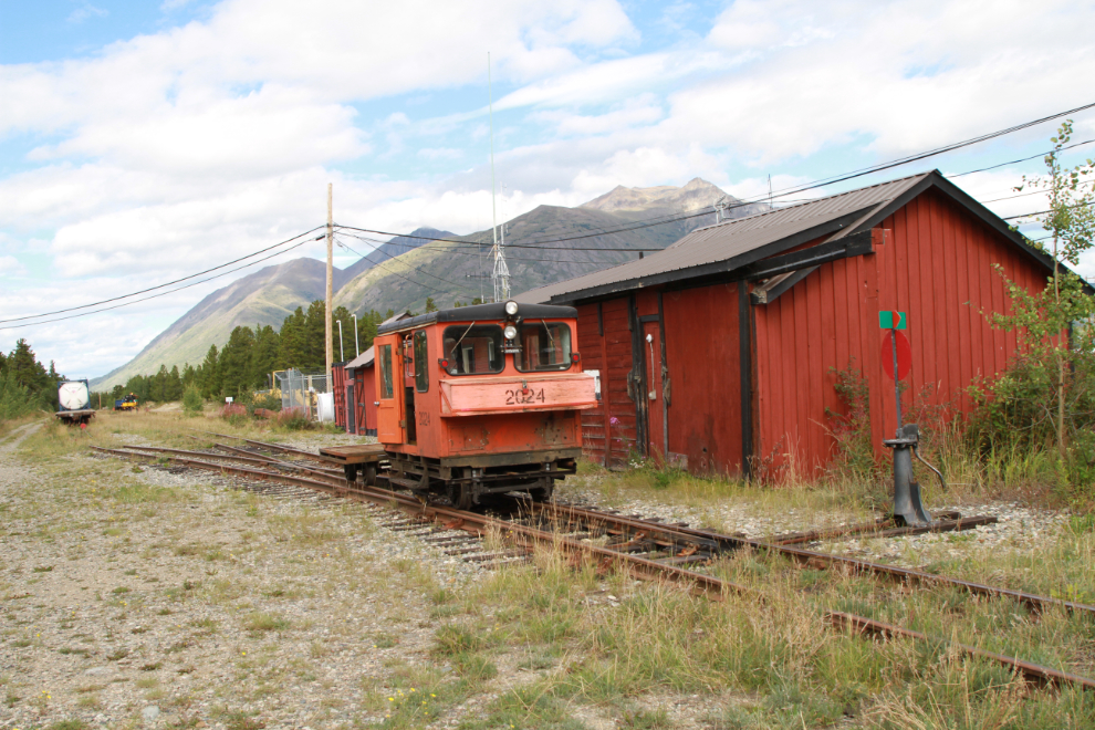
Motorcar #2024 at the Carcross crew base.
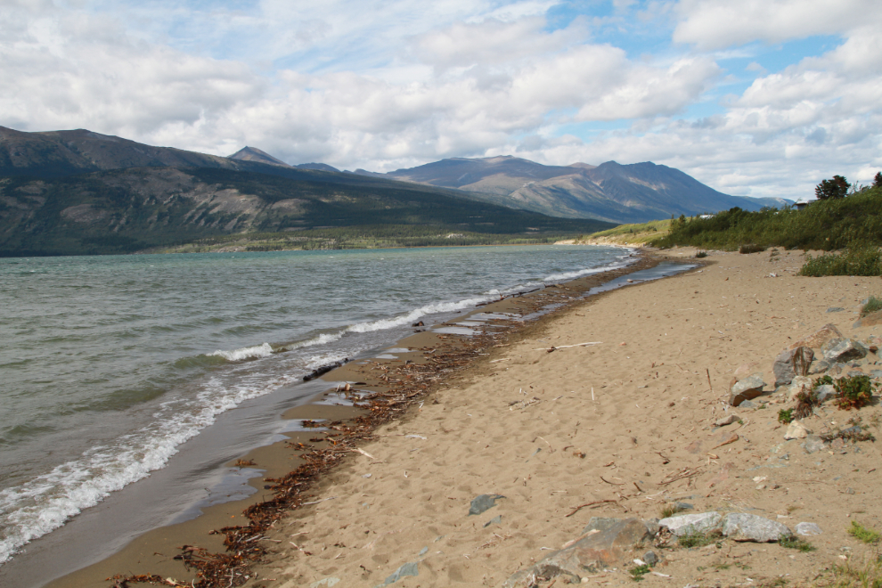
I had planned to go for lunch, but I was very tired and was unable to figure out how to make that happen. I wandered around Carcross for a few minutes, and was very surprised by how high the water was.
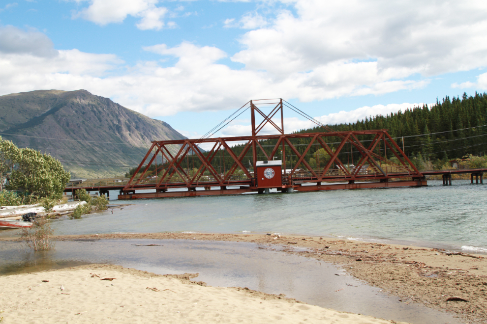
The Nares River was almost touching the main beam of the railway bridge.
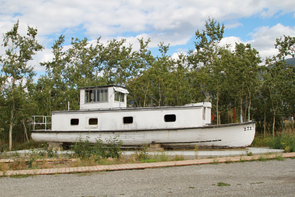
I had a brief look at the old BYN (British Yukon Navigation) work boat Sibilla, then head back to the car on the South Klondike Highway. I din’t shoot any photos on that part of the ride.
I’ve now ridden (by train or bike) or walked about 100 miles of the 112 miles of White Pass & Yukon Route rail line between Skagway and Whitehorse. I might get that last 12 miles done yet.
As soon as I post this, I’m heading to Kluane Lake with the motorhome. It’s impossible to plan things anymore – I may be gone a few days, maybe a week, maybe even more. ttyl 🙂

What a great adventure blog post Murray. Thanks a lot for sharing.
Thanks, Paul 🙂
Great little adventure and what looked like fabulous summer weather. The e-bike sure fits in well to these explorations. I am always surprised to see the small diameter of the old Canol pipeline. Good luck and good weather on the motorhome trip!
Everything about the Canol pipeline was odd and it’s no wonder it became an embarrassing boondoggle. Just laying that little pipe on the surface of the ground – sure, what could go wrong?
It’s been a while since I got to one of your blog articles and I’m glad I clicked on this one. Nice to see you out and about but Murray, Cathy is going to kick your butt if you fall in a hole and get hurt!! I remember the days when you would tell me you hiked all over without bear spray too!! What a wild life and then don’t get me started on the nude bum pics hahaha. I hope you’re enjoying fall and I’m hoping to make a trip us sooner rather than later and it would be great to see you and Cathy! xo
Nice to see you here again, Laurie. I’m a bit surprised that Cathy has commented on that fall or this morning’s comment about the chances of getting lost now. We’d love to see you when you get up.
Thanks for the tour, Murray. I really enjoyed it! Your photos and commentary are outstanding.
Thank you, Michael – I’m glad you enjoyed it 🙂