Exploring the Ingraham Trail – Yellowknife, NWT
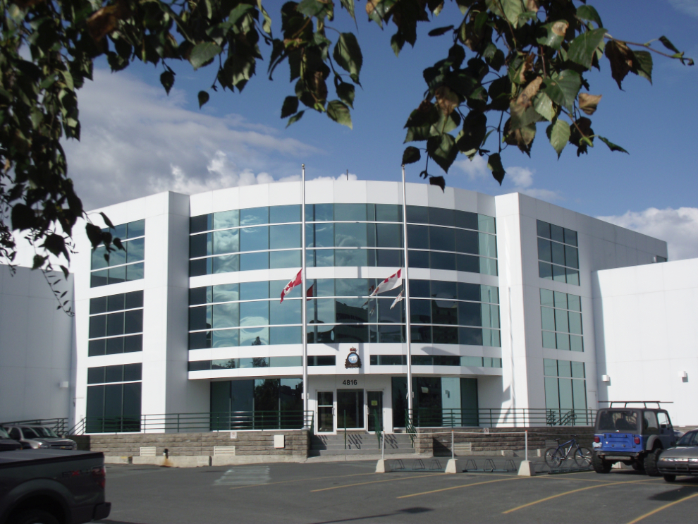
The weather yesterday morning didn’t look too promising on the north shore where I wanted to spend the day, so I started by exploring Yellowknife a bit more. This is the Canadian Forces’ Joint Task Force North headquarters. Most of the federal offices in Whitehorse are gone now, but Yellowknife has a lot of them.
I saw my first NWT veteran’s license plate on Veteran’s Memorial Drive.

The sun came out and it was looking good to the north so I headed out Highway 4, the Ingraham Trail. The highway dead-ends at Tibbitt Lake, Km 70, in the summer, but in the winter that’s the start of the Tibbitt to Contwoyto Winter Road that was the site of the first season of the TV series Ice Road Truckers.
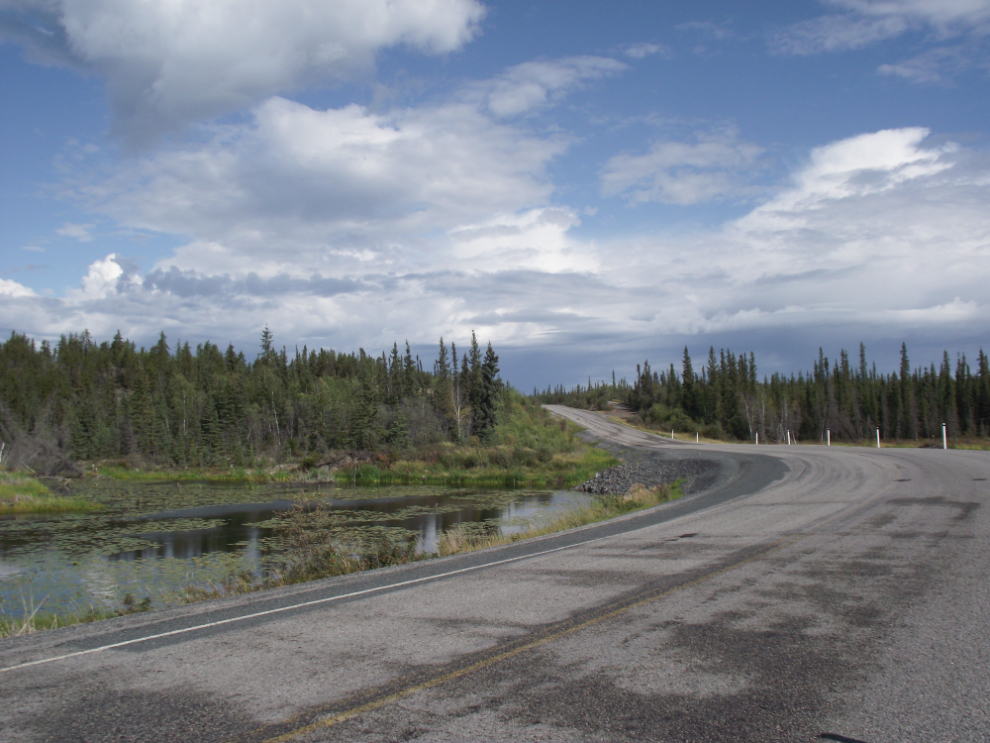
My first stop was the Yellowknife River.
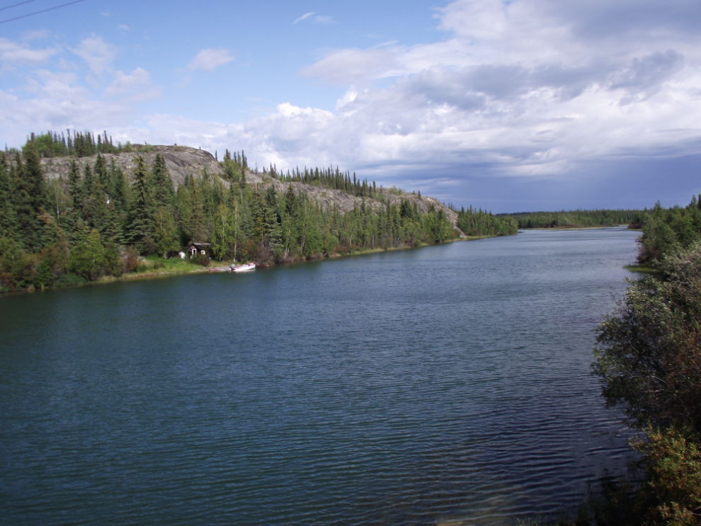
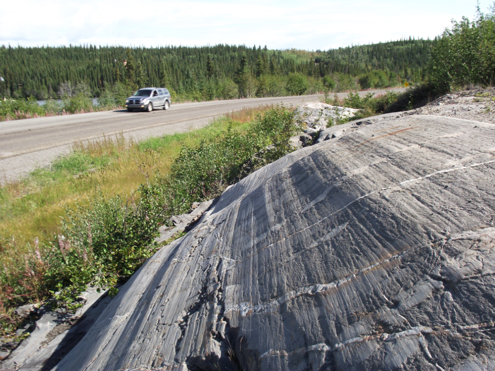
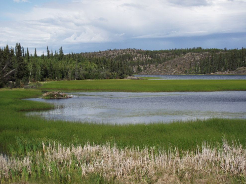
This country is very different from anything else I’ve seen so far – rolling terrain, glacier-scoured rocks and lots of water.
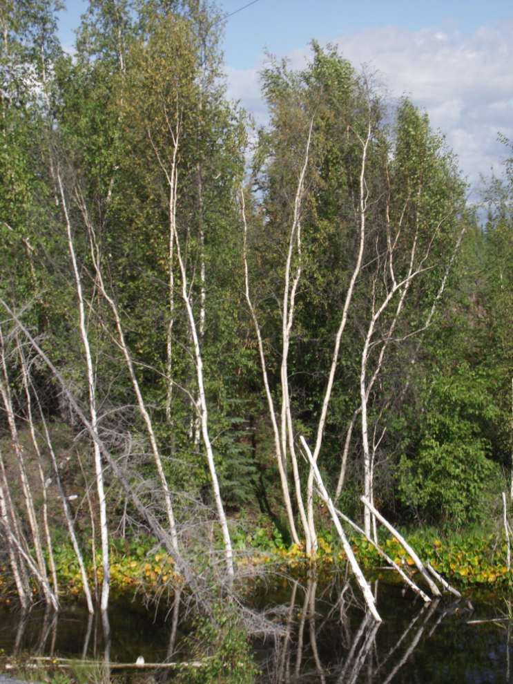
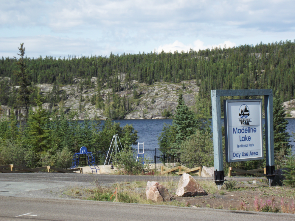
Madeline Lake is a particularly nice day-use spot.
A particularly fine example of the glacier-scoured rocks I mentioned.
Powder Point is a major access point for a chain of lakes.
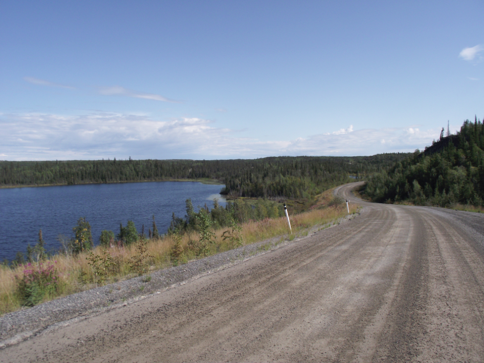
It’s a very scenic drive – about 1/3 of it is paved.
The Cameron River.
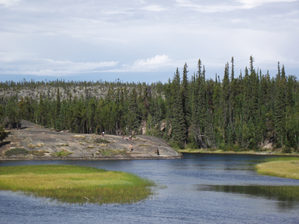
The end of the road – the furthest point you can drive north in this region.
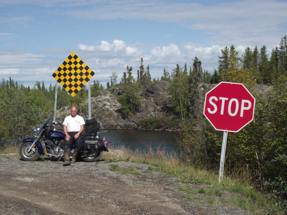
This is the actual spot where the ice road starts – where the road goes onto Tibbitt Lake.
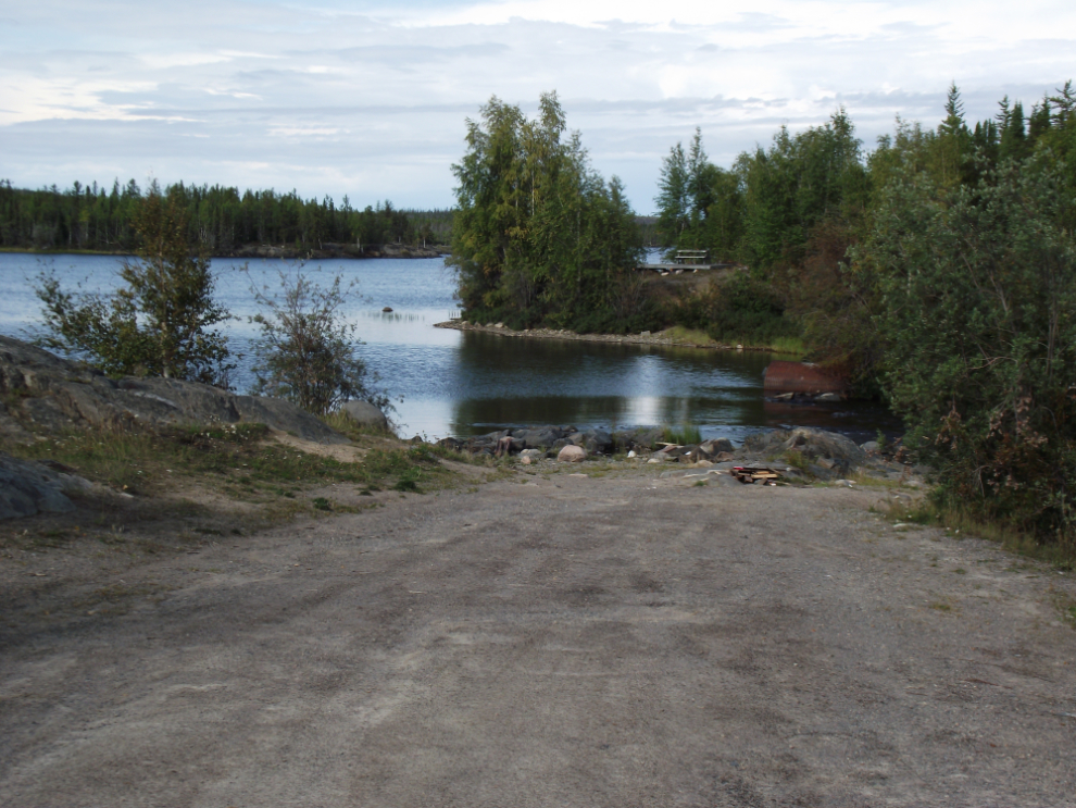
The rocks above Tibbitt Lake were a great place to enjoy the sun, have a snack and a celebratory can of Keith’s 🙂
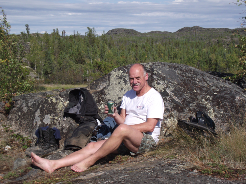
A woman I met at Madeline Lake said that the hike into Cameron Falls is a must-do, so I did. Unfortunately I got lazy and kept my riding gear on rather than stripping down and man was it hot!
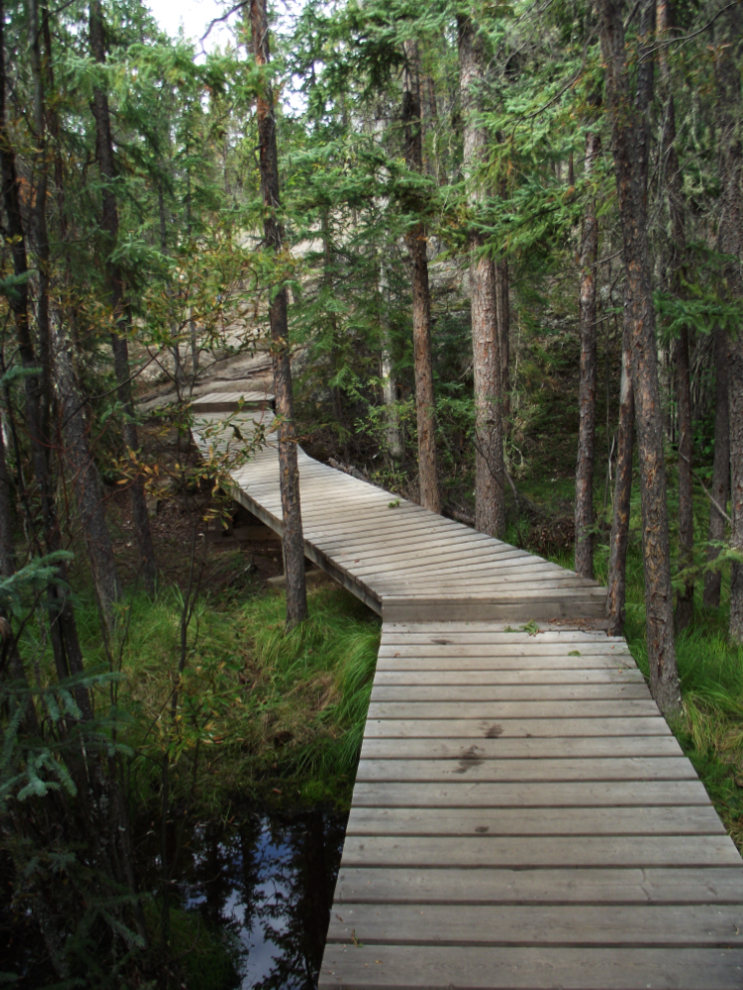
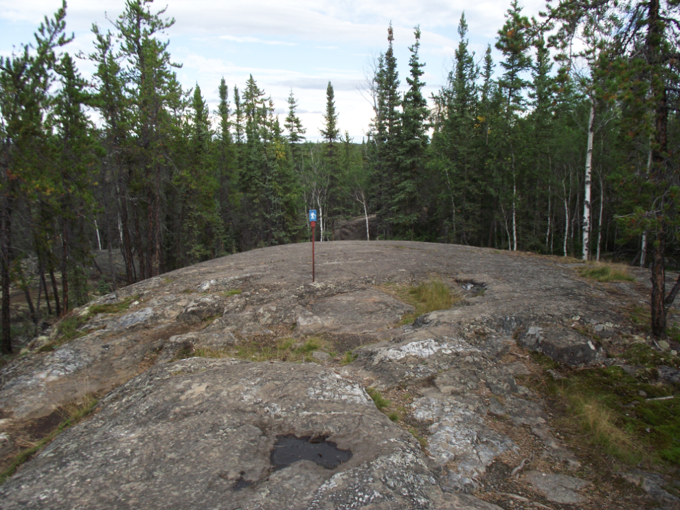
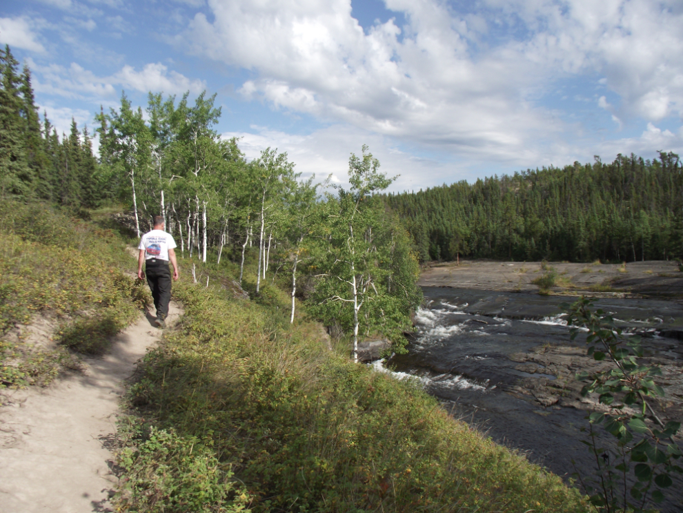
Parts of the trail go across bare rock, and the route is marked by steel markers drilled into the rock.
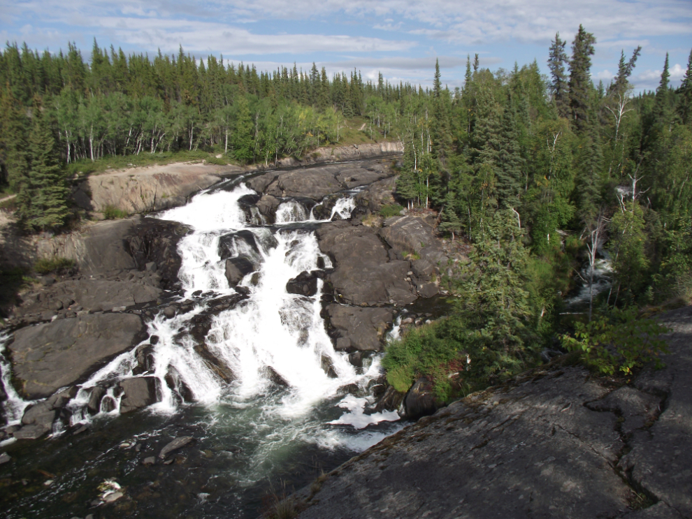
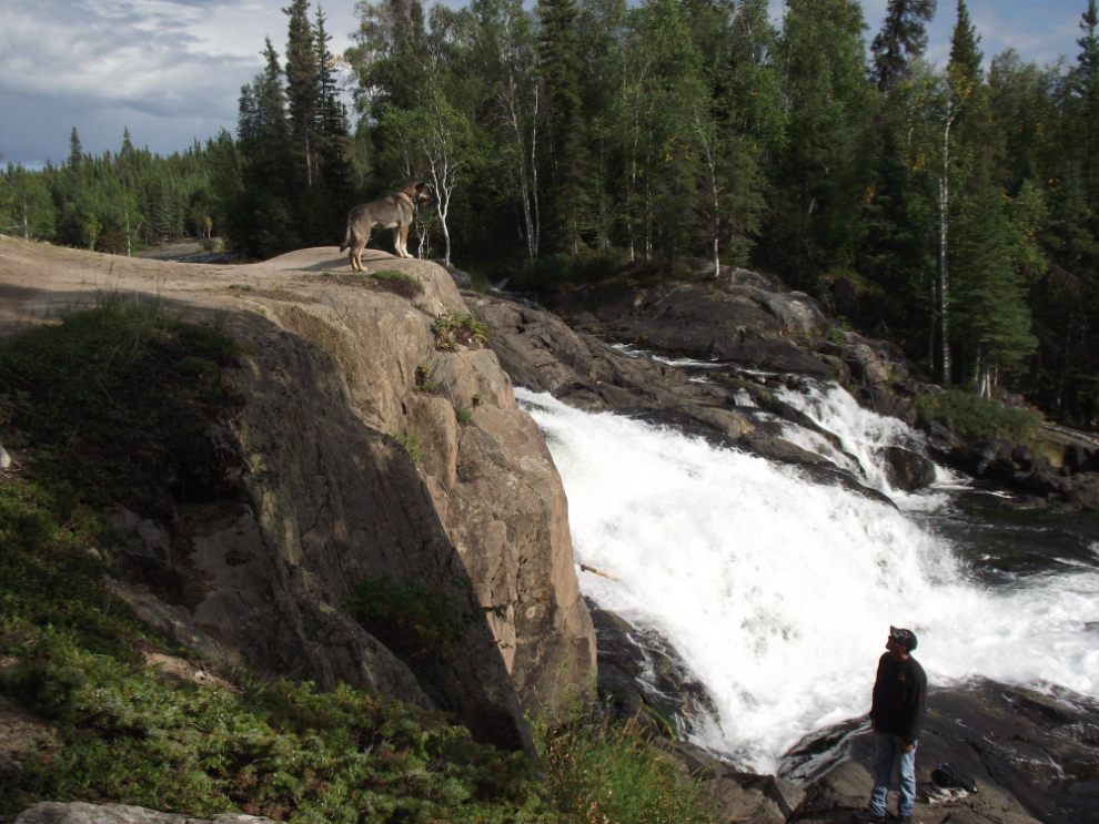
This is the reward for a very pleasant 20-minute walk – Cameron Falls.
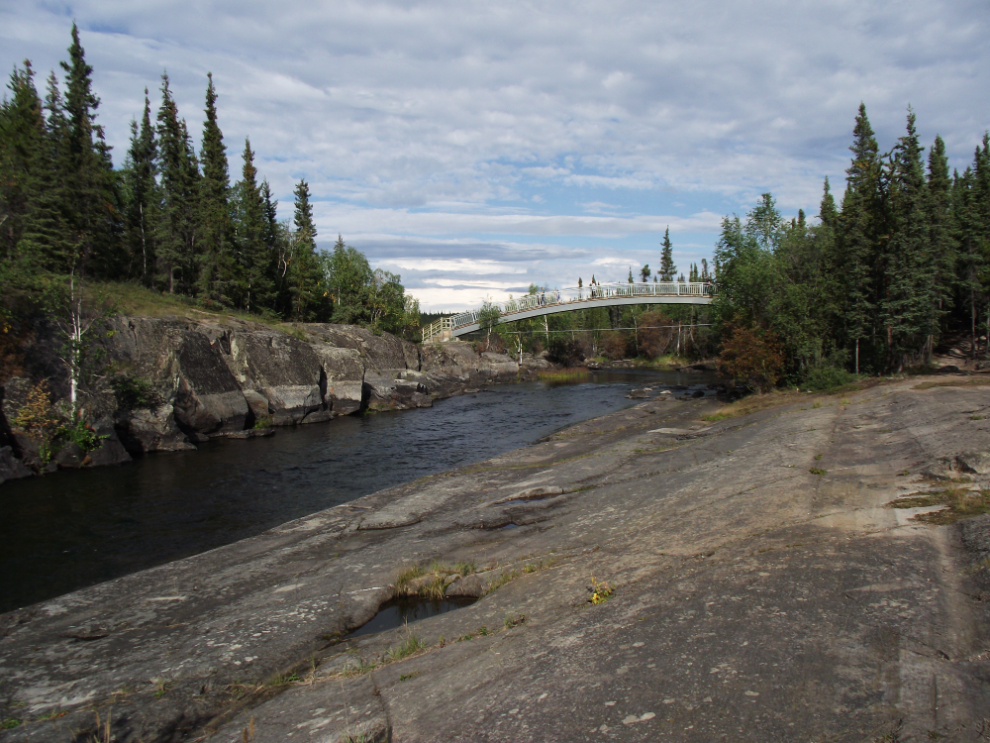
A pile of money has been spent on this trail, including an arched steel bridge to carry people across the Cameron River above the falls.
A great place for a dog!
The trail along the river as I headed back to the bike.
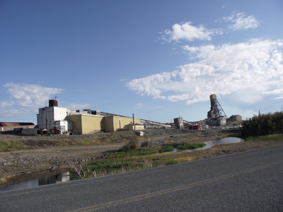
I stopped to get more photos of the Giant Mine.
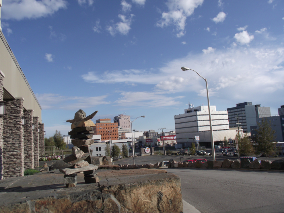
A shot of downtown Yellowknife from my hotel.
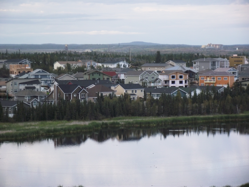
And a look at a new subdivision in the evening light. Another great day!
This trip from Whitehorse to Yellowknife and back is covered in 9 blog posts with a total of 221 photos:
- Whitehorse to Fort Nelson (10 photos)
- Fort Nelson to Fort Simpson (27 photos)
- Fort Simpson to Sambaa Deh Falls Park (18 photos)
- Sambaa Deh Falls Park to Yellowknife (21 photos)
- Exploring Yellowknife (24 photos)
- Exploring the Ingraham Trail at Yellowknife (22 photos)
- From Yellowknife to Hay River (30 photos)
- Hay River to Manning, Alberta (29 photos)
- Manning to Whitehorse (40 photos)