Exploring Alaska’s historic Inspiration Point gold mine
On Thursday, I went on the most difficult hike yet this year, to the ruins of the historic Inspiration Point gold mine high in the White Pass north of Skagway. I visited the site twice a dozen years ago, and have been itching to get back for a long time. The last time I was in, I found a much easier route than the one normally used, but when I tried to find it 2 weeks ago, my 6 hours of searching was in vain.
The mine site is sensitive, fragile and dangerous, so I’m going to be quite vague about the route in. While I don’t want to encourage more people to visit this site, I do want to show you the sort of thing that can be found in the back country by those with the exploring spirit.
The forecast for Skagway for the day was sunshine and 74°F (23°C) – by the time I reached Tutshi Lake I was pumped for a great day!
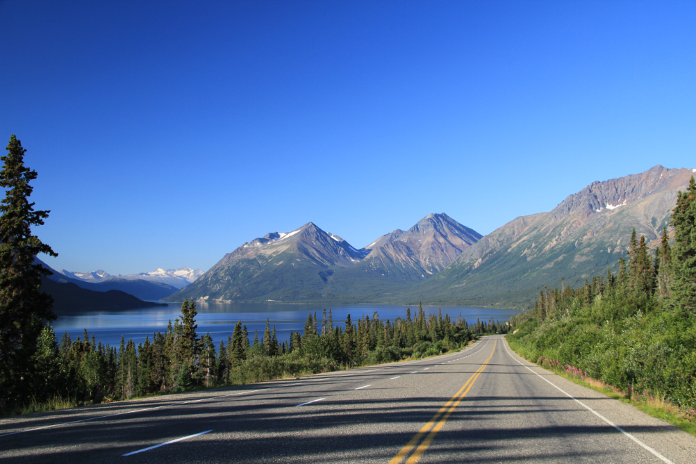
The route began on the highway near the White Pass summit, and went up a small creek bordered by lush greenery and flowers. This was the first time I had tried this starting point. When I left the car at 09:05, the temperature was 13°C (55°F) – wonderful climbing weather.
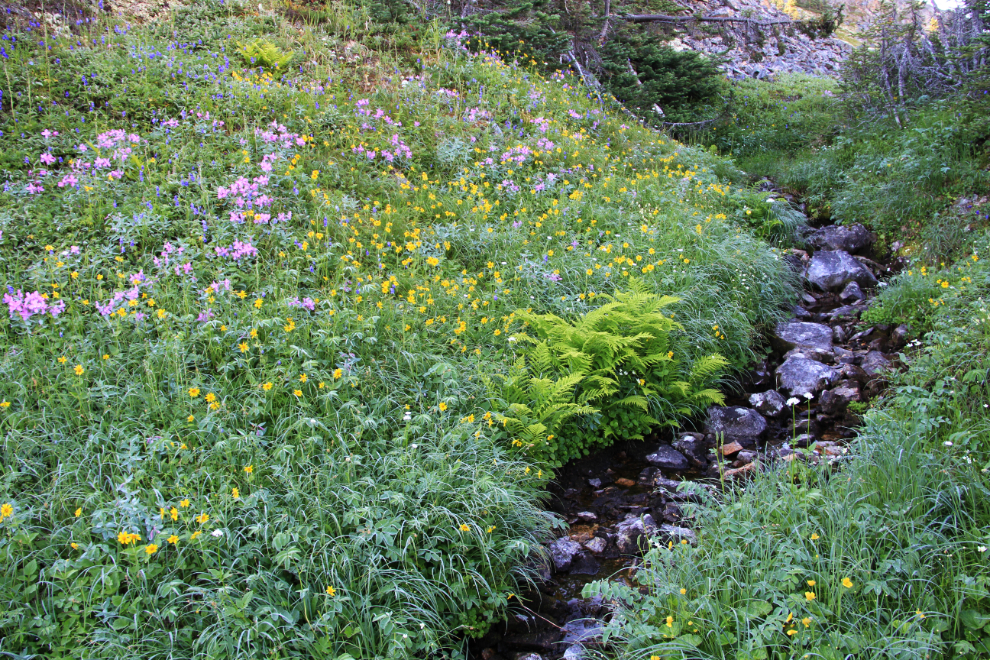
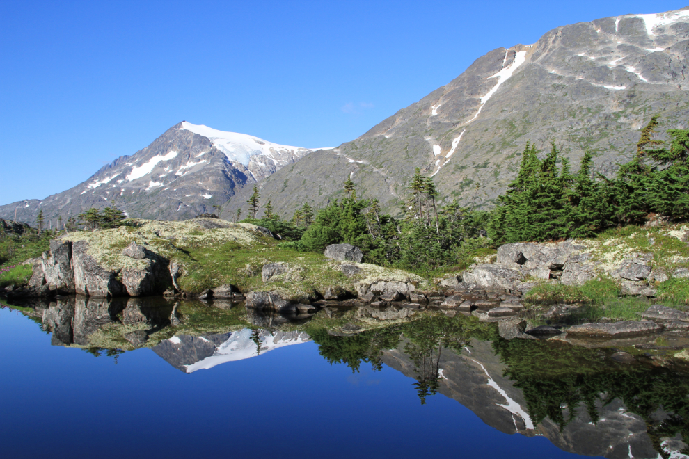
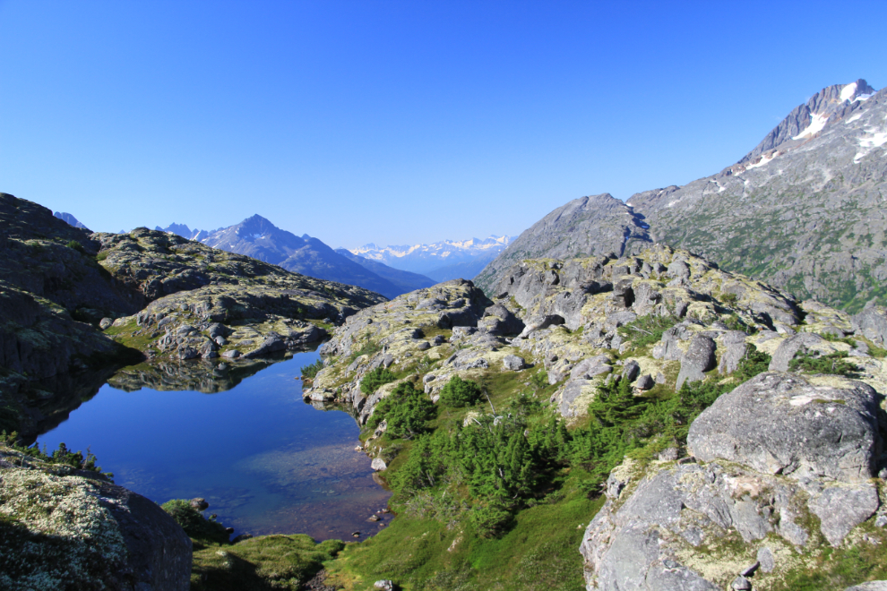
There are quite a few ponds and small lakes along the route, the largest perhaps an acre in size.
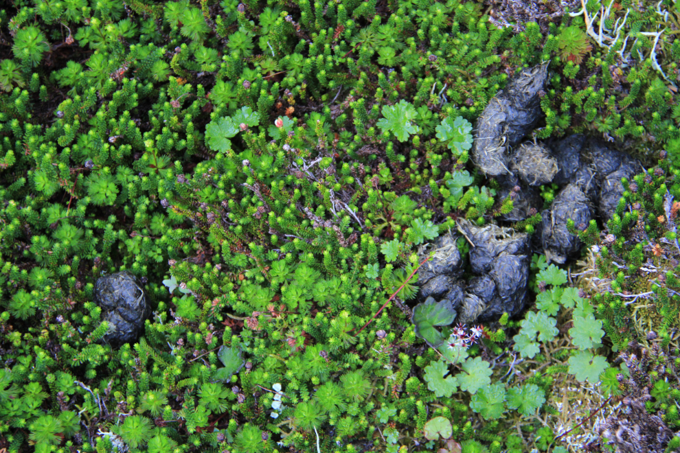
I don’t carry bear spray, but there are no bears in the high country of the White Pass anyway. Whoops! Well, perhaps one ambitious bear came up when the mountain goats were having their kids this Spring. This scat wasn’t fresh, and I didn’t see any more.
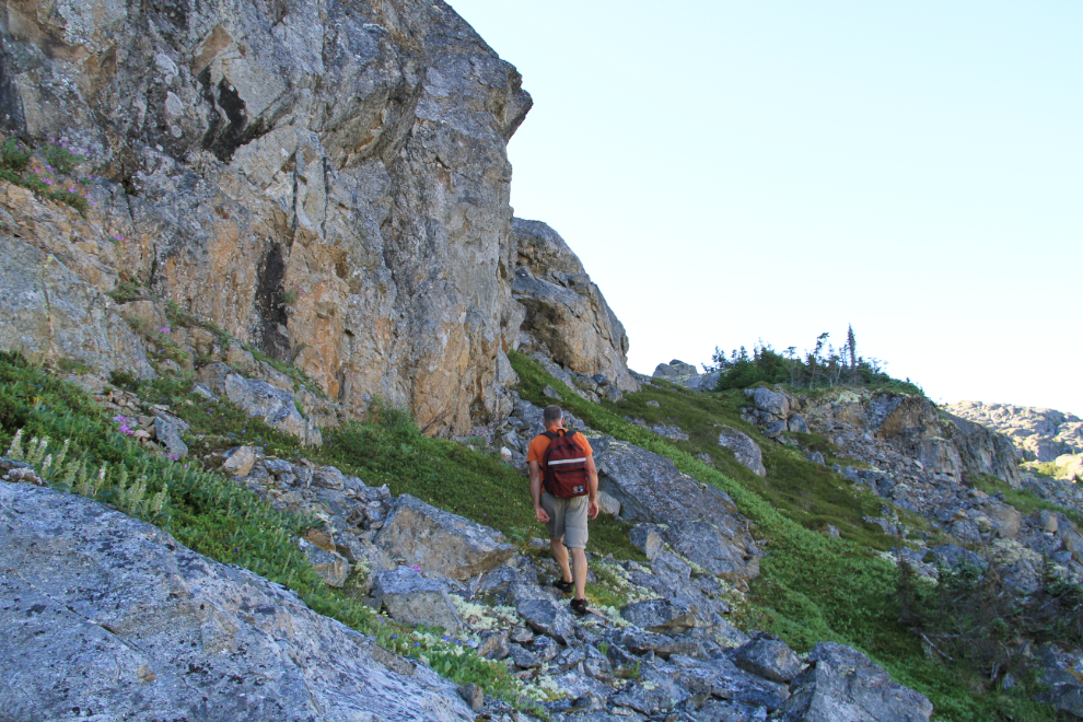
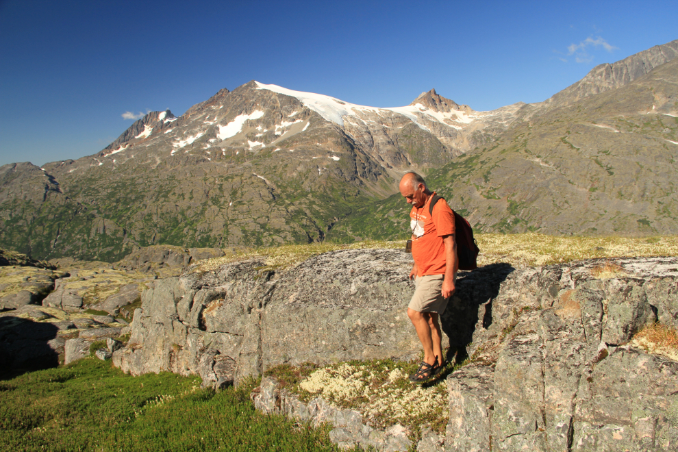
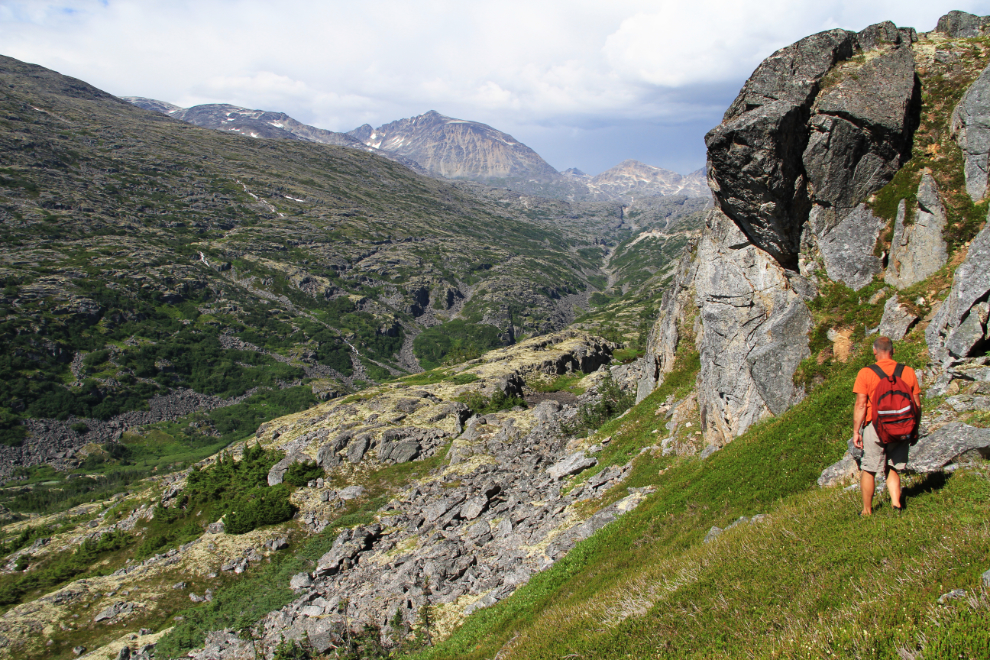
The granite got more and more dominant and impressive as I climbed.
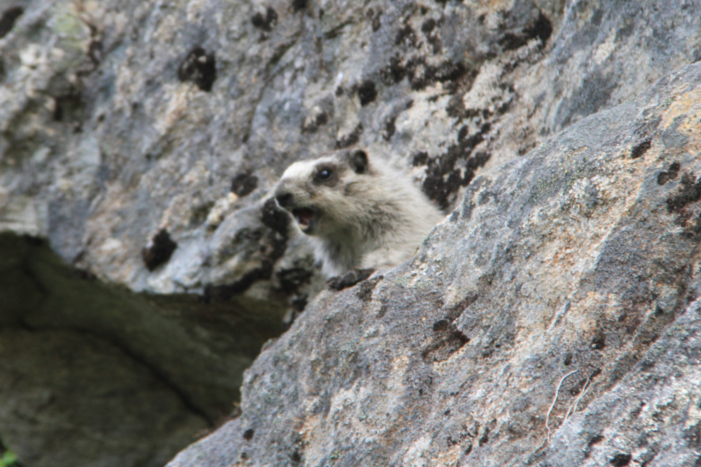
I met this hoary marmot – they’re wonderful, very vocal little creatures.
There are lots of obstacles to navigate around, and the view gets ever more distracting 🙂
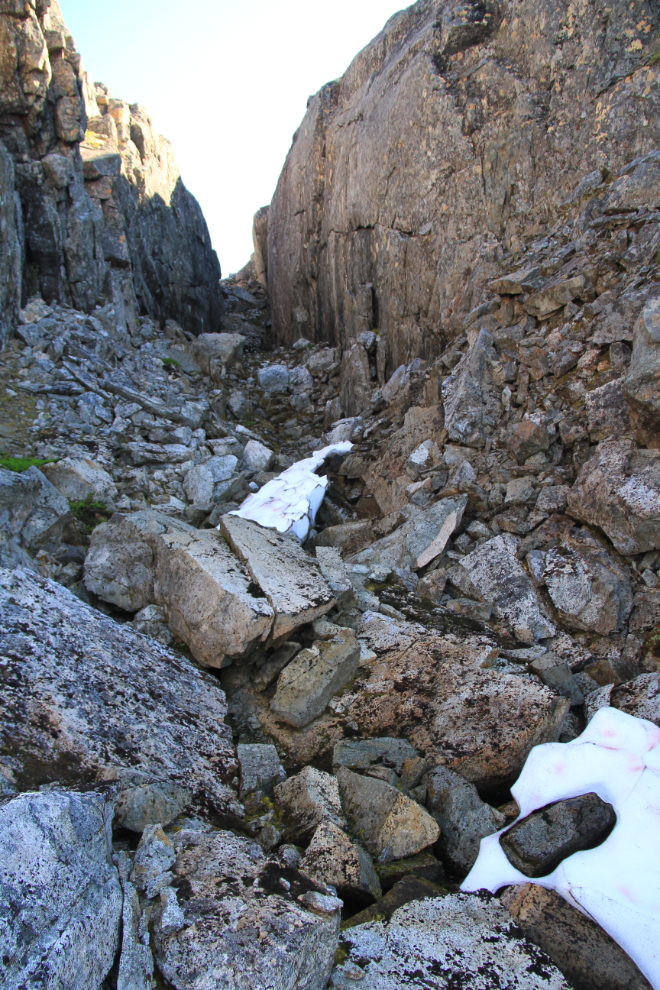
Marking waypoints on my GPS as I progressed , I named this one “SLOT”.
Big cliffs and little cliffs…
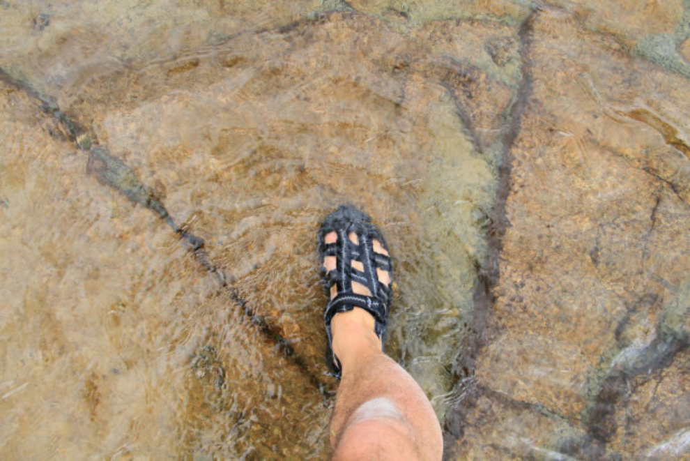
For the past several years, much of my hiking has been done wearing these amazing Mion GSR sport sandals. Incredibly tough and comfortable, they also eliminate the need to go around ponds 🙂 Unfortunately, they went out of production 5 years ago, and I tore some crucial stitching towards the end of this day.
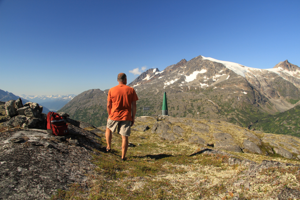
I stopped for a while on the summit of the Mine Mountain ridge just before 11:00, at 1,135 meters elevation (3,724 feet), and had a bite to eat.
Not long after leaving the summit, I reached the same dead-end area I had 2 weeks ago. The last time, I had no time to try to find a way around the cliffs, but this time there was plenty of time available.
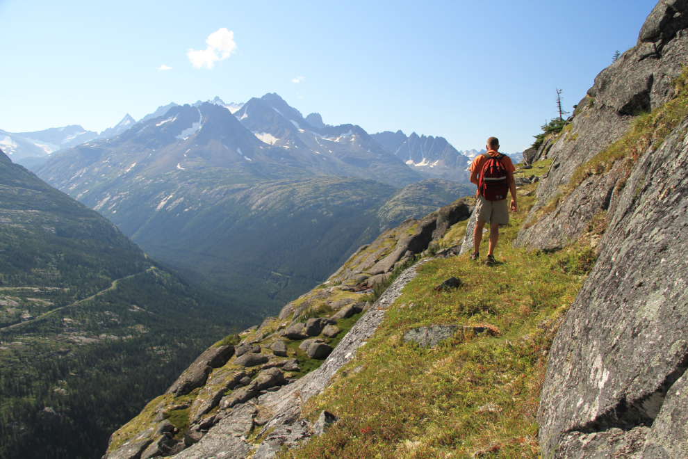
Some of the peaks are truly awesome.
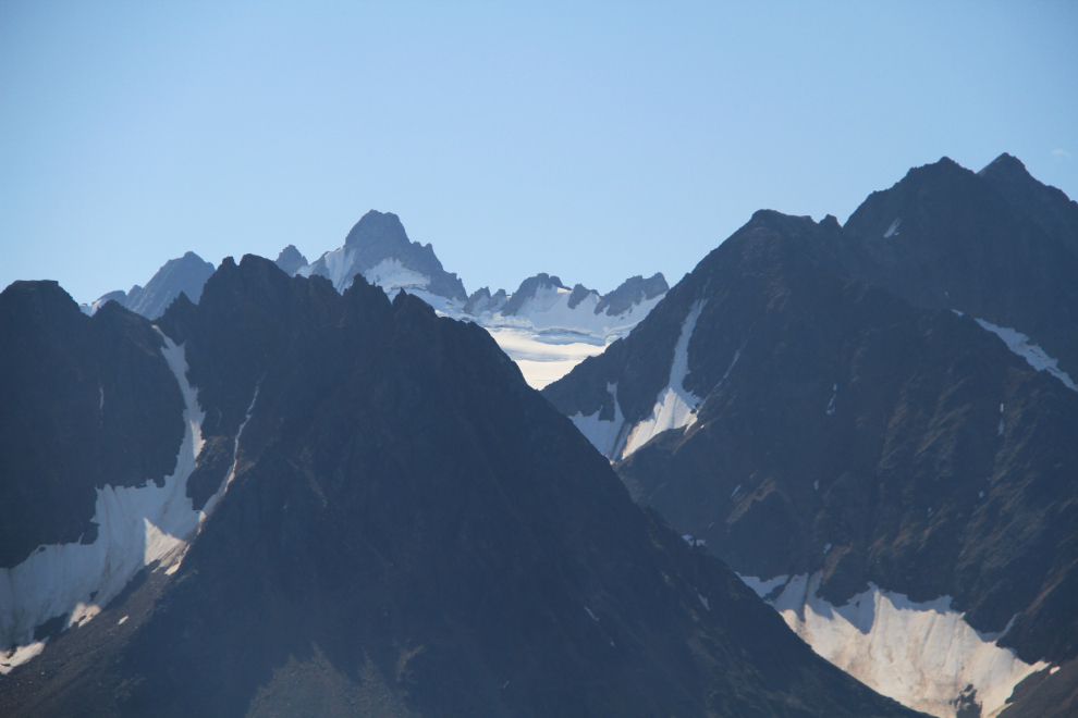
At 12:40, I finally spotted the mine site, though the way to it still wasn’t clear.
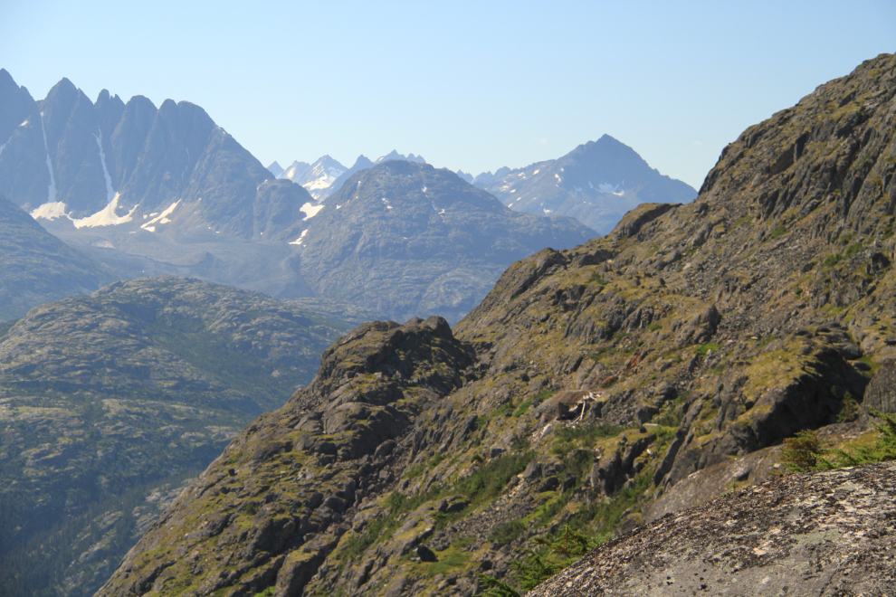
Another dead end. I couldn’t find a way down about 400 vertical feet to a possible route, but eventually found a route up some very narrow ledges and fractures for about 300 vertical feet.
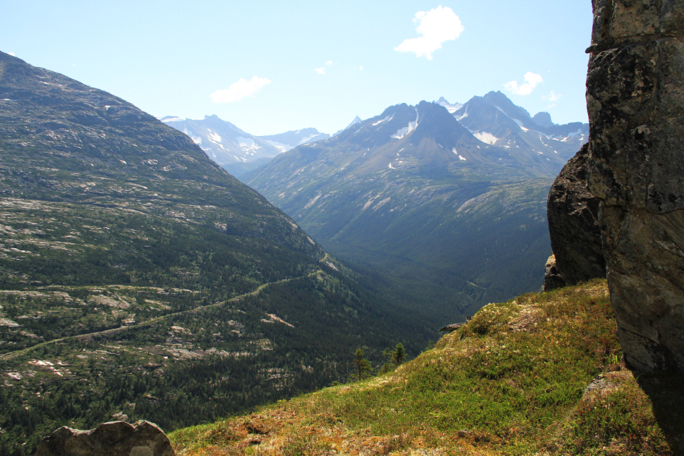
The further I went, the more mountain goat hair there was, left on branches and rocks from their shedding.
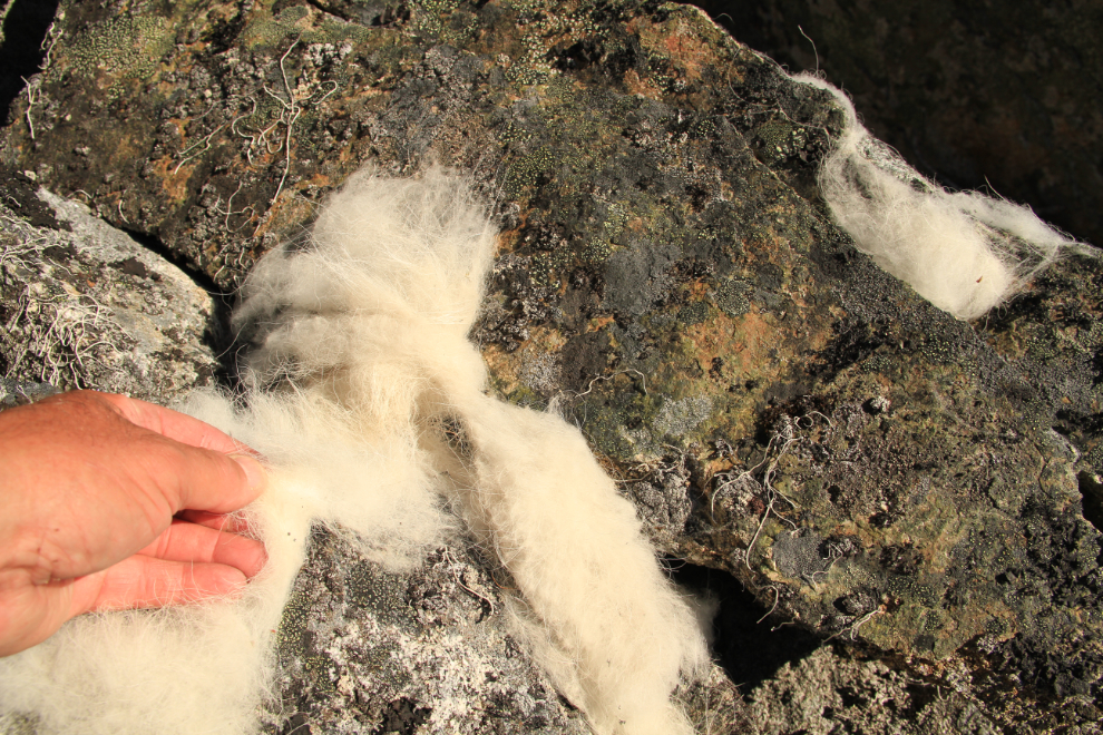
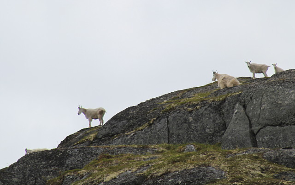
I didn’t see any goats this time, but saw about a dozen on the last trip.
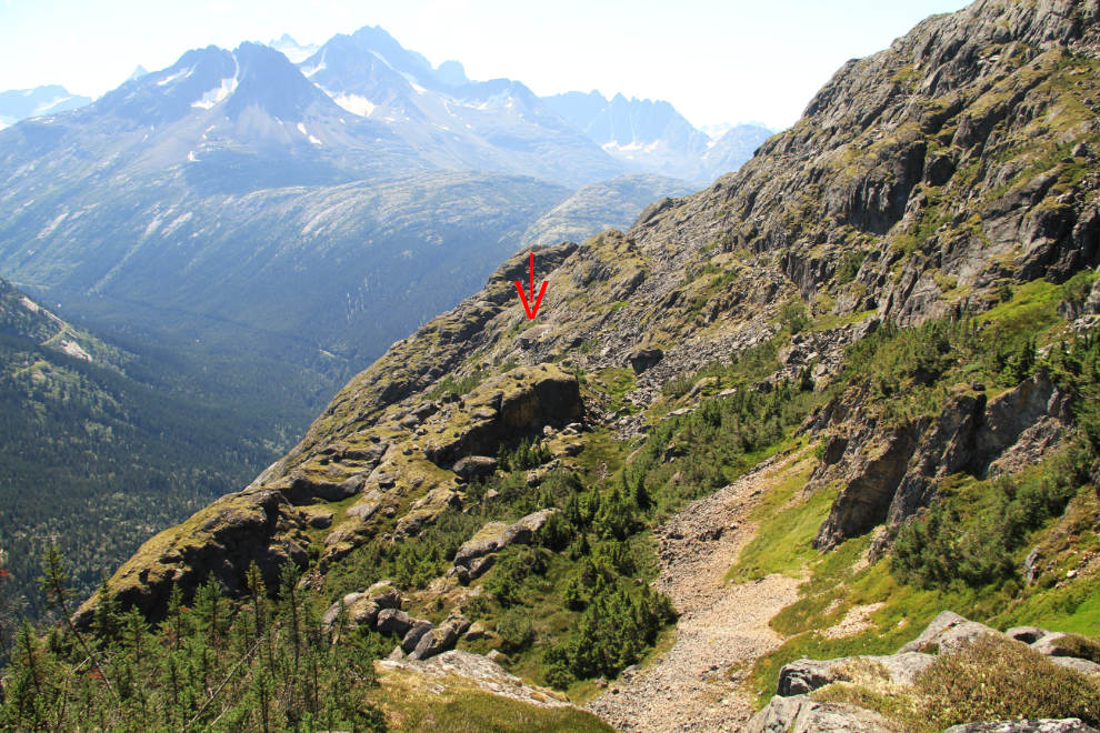
At 1:10, I finally reached an avalanche chute that led very steeply down almost directly to the mine, which is marked by the red arrow in the centre. This was the route I’d discovered 12 years ago! 🙂
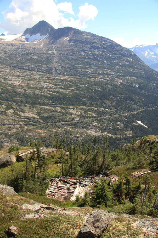
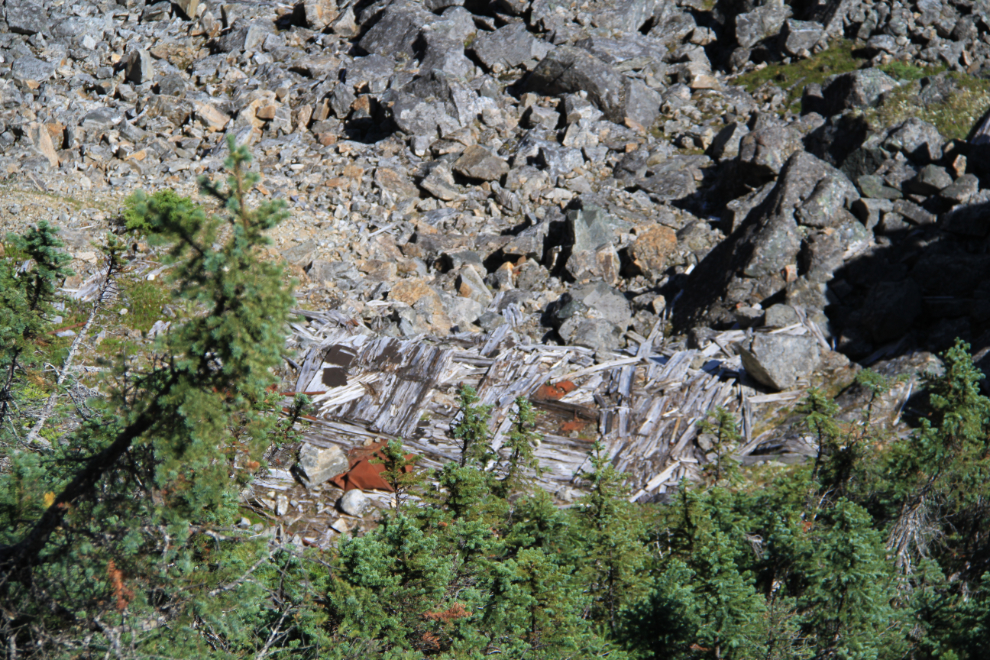
The collapsed bunkhouse of the Inspiration Point gold mine. I can’t even describe how excited I was to have made it back here! The line across the far mountain is the rail line of the White Pass & Yukon Route, from whose trains the mine is always pointed out, though it’s very hard to make out among the jumbled granite.
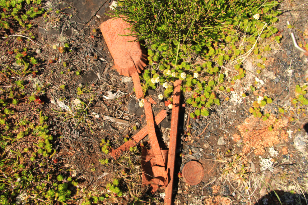
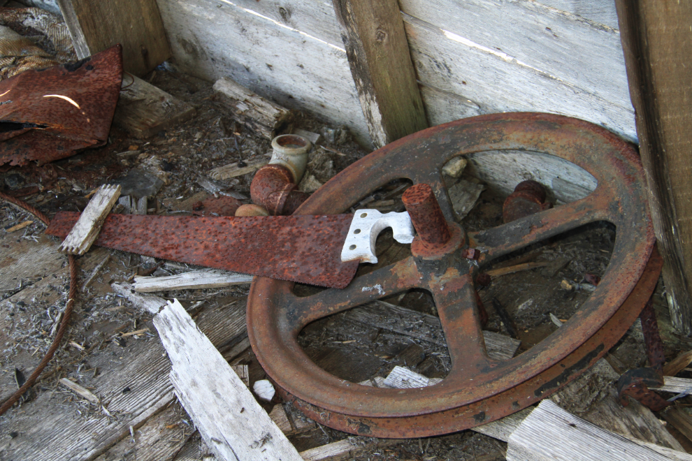
Much of what I saw was in worse condition than the last time I visited. Even the stove-coal shovel I was holding was very fragile.
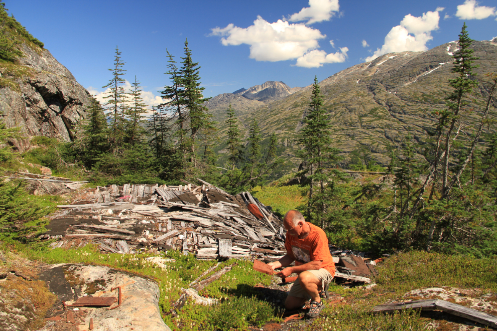
The shovel and some other artifacts at the bunkhouse.
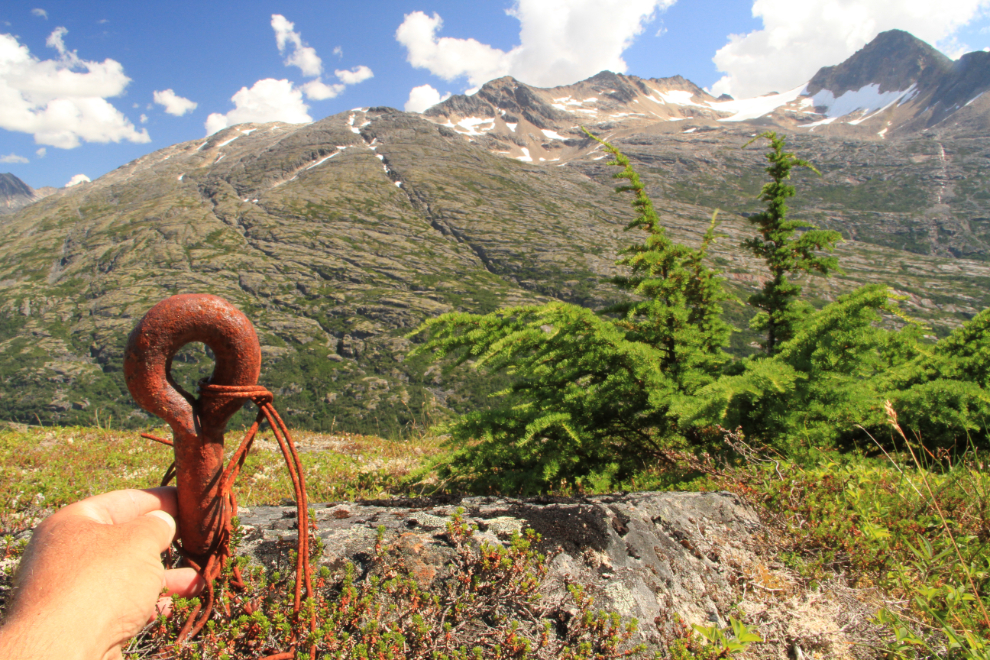
Cables were strung over the roofs of the bunkhouse and a smaller nearby building, with the cables attached to eye-bolts drilled into the rock to prevent the buildings from being blown off the cliff by screaming winter winds.
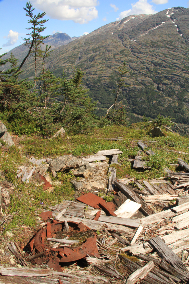
A smaller building about 100 feet north of the bunkhouse. I haven’t deciphered its purpose yet – the base of a parlour-type woodstove is the only piece I could identify.
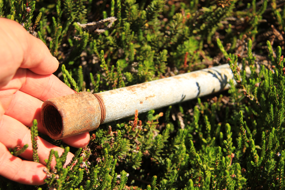
There are many hundreds, perhaps thousands, of feet of this water line strung across the mountain. I think that it was for cooling the rock drills, but the material seems newer than the 1927 date I have for the mine’s most recent operation.
The only building still standing is the loading station for an aerial tramway that led down to the railway.
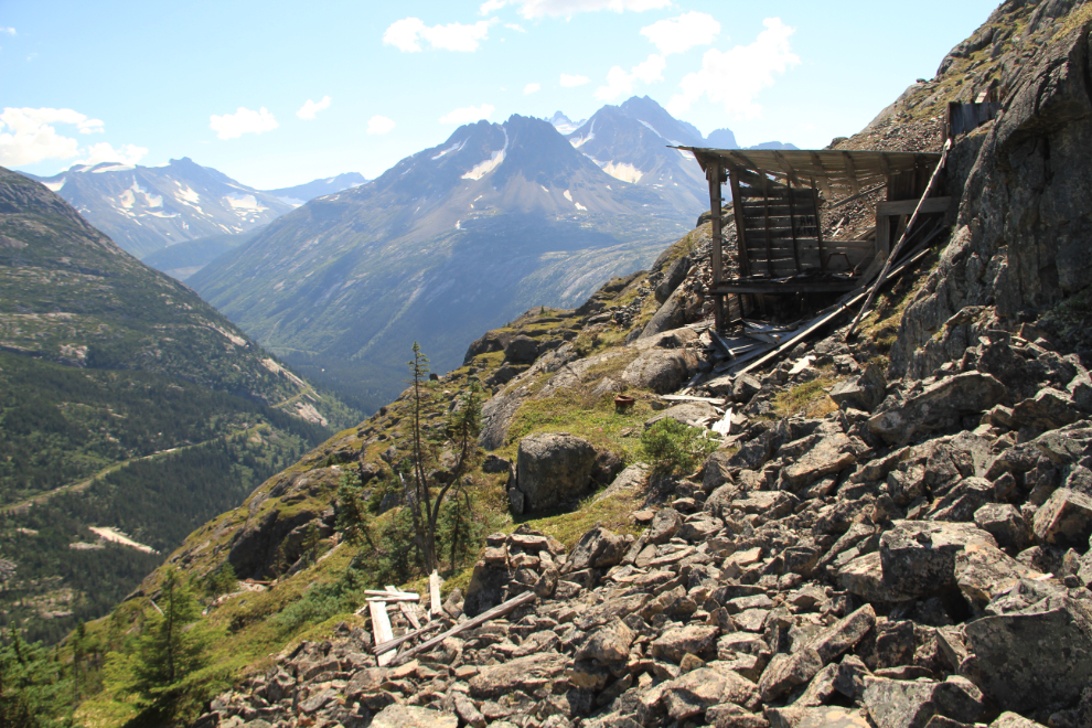
The view from inside the tramway terminus, where quite a few tools and pieces of equipment remain.
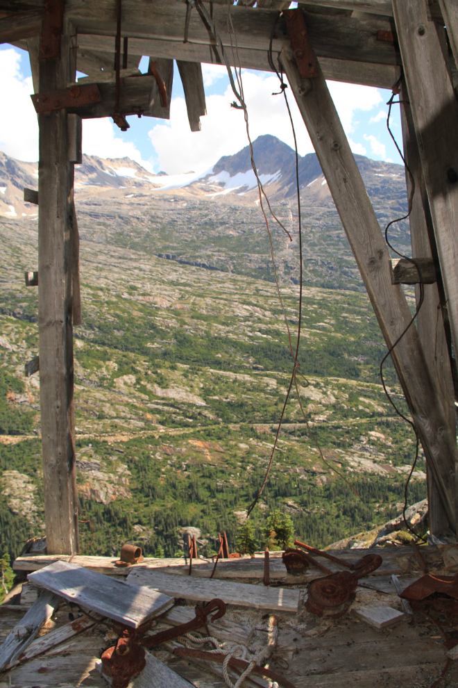
A corner of the the tramway terminus floor. The building is in very poor condition, and won’t be standing too much longer, I’m sure.
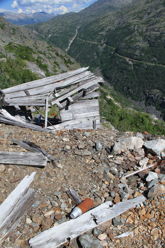
Looking back down at the tramway station from the main working level. In the foreground is a thermos bottle that’s also newer than the date I had assumed that the mine worked. To explain much of what I found, my thought is now that the mine must have re-opened briefly in the late 1940s or early ’50s.
One of the 2 workings on the main level, this large inclined shaft goes down at an angle of perhaps 60°
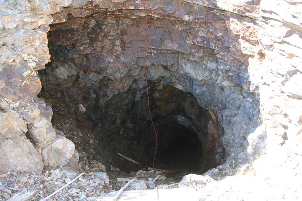
The adit on the main level has a drift going off it just a few feet in – normally that would indicate that there was a good vein of gold ore there. I went in perhaps 60 feet but the rock is quite fractured and I don’t trust its safety.
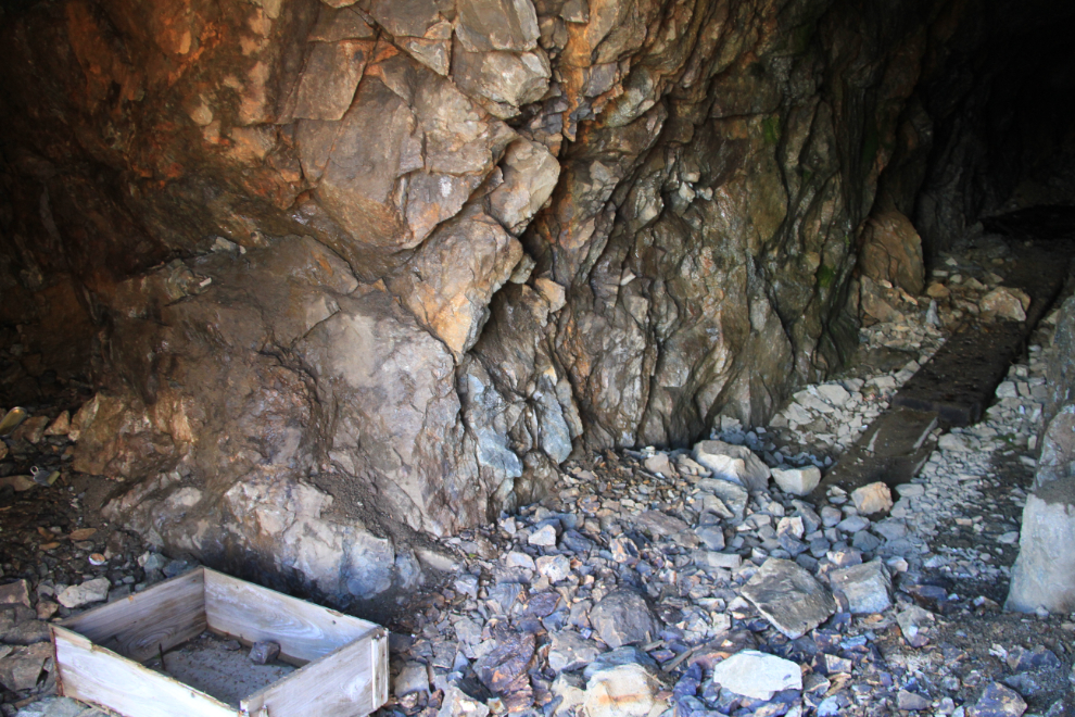
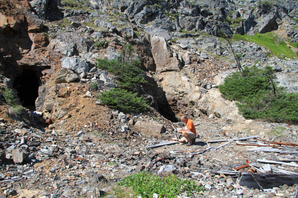
Inspecting the rock and artifacts outside the adit on the left and the inclined shaft on the right.
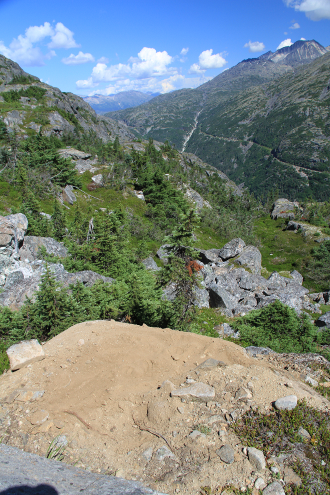
The bare ground is a well-used mountain goat bed just above the main mine workings.
There are artifacts scattered everywhere, including this Spam can…
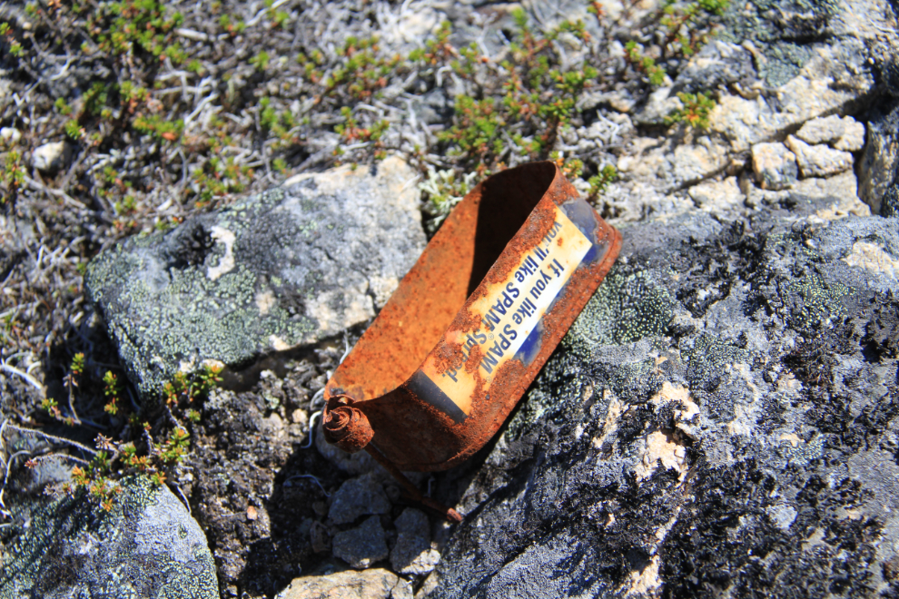
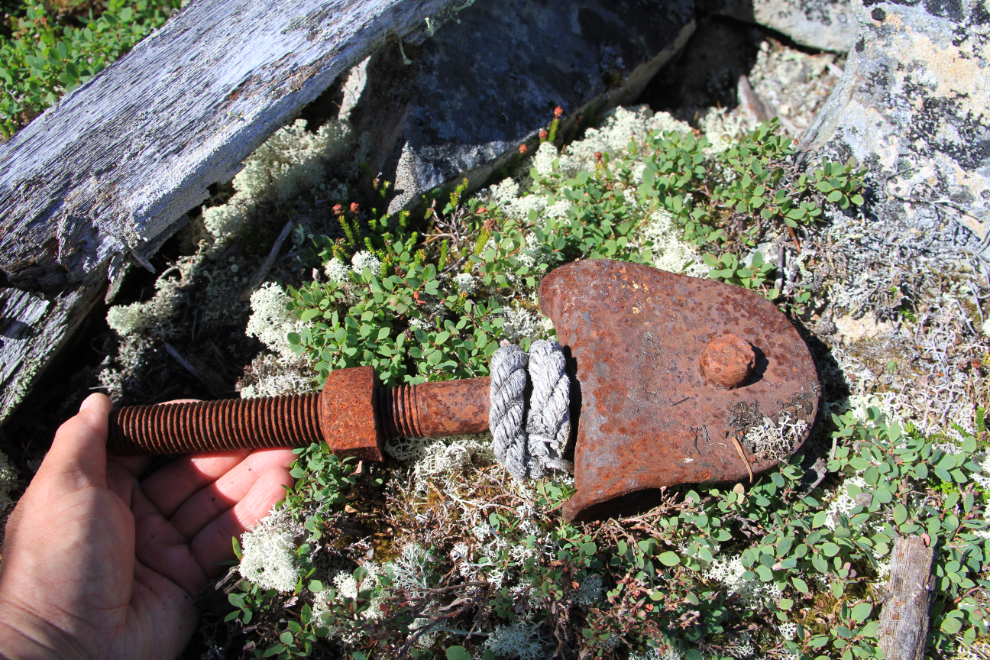
…and this piece of equipment, perhaps associated with the ropeways that were used around the mine.
About 50 feet directly below the main level is what appears to be a collapsed adit.
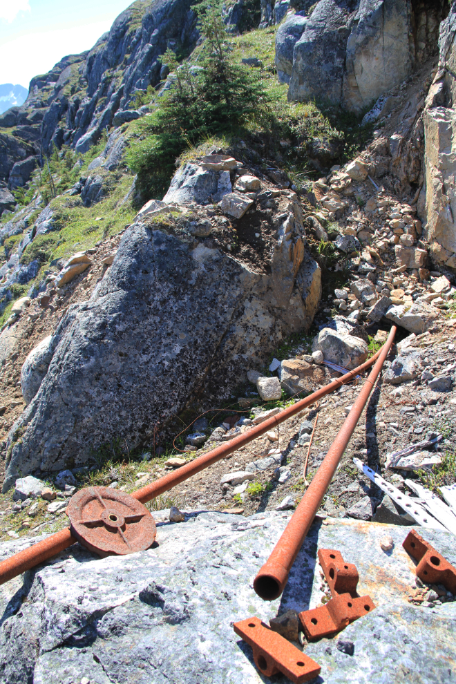
I didn’t follow these water lines down any further. I believe that the lines made from steel as these ones are, are the 1920s lines.
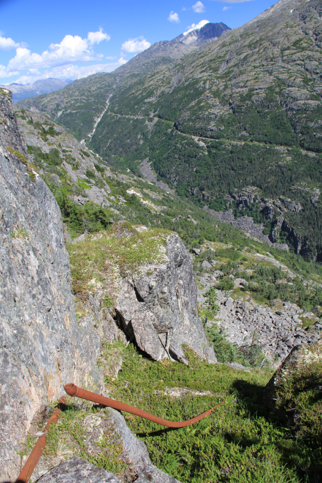
Another large structure about 300 feet lower, now collapsed. My memory from 12 years ago says that there’s another adit there, and that this was another tramway loading station.
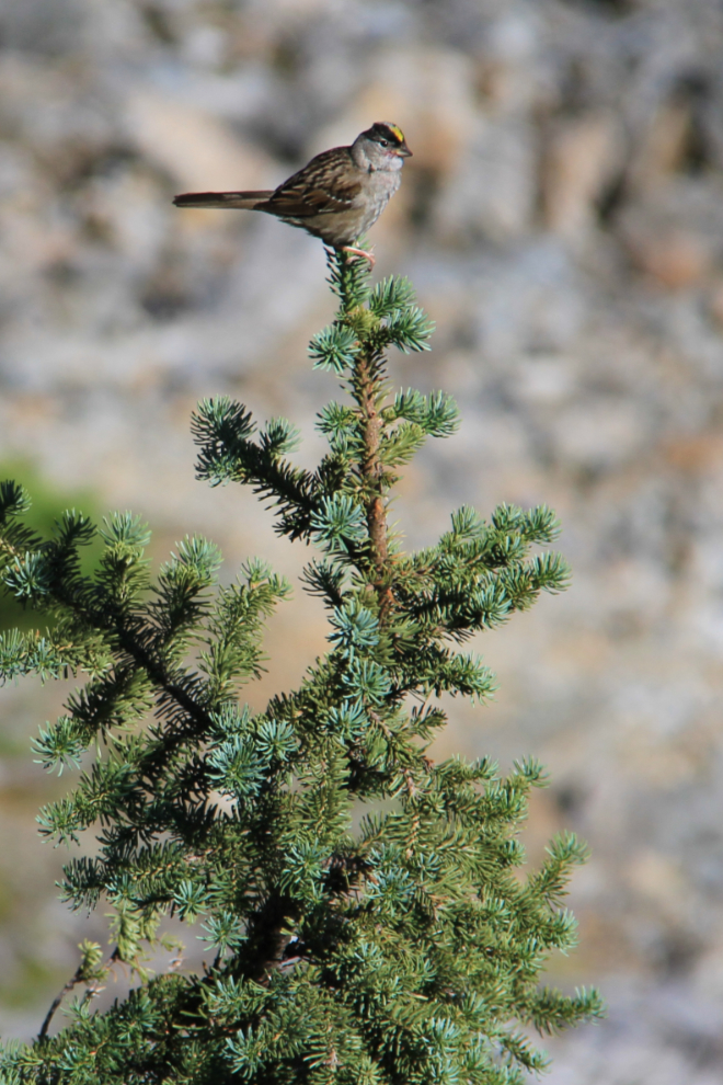
This sparrow was the only living creature I saw all day.
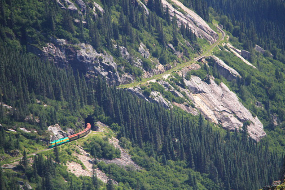
A WP&YR (White Pass & Yukon Route) train comes out of the tunnel at Mile 17.
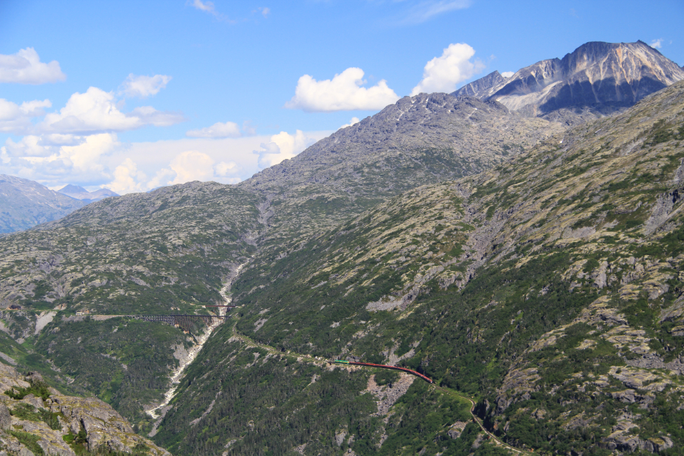
The train continues up the hill towards the bridges that cross the upper Skagway River.
I only spent an hour and a half at the mine site, then decided to head back – it had taken over 5 hours to reach the mine and I didn’t want to push my luck.
Looking up at the chute I’d come down to the mine on, at 2:55. I was quite certain that it would now lead me back to the car on a much quicker and safer route.
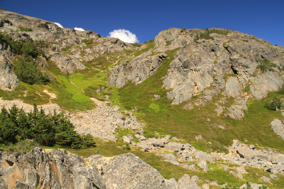
The top of the chute continued to be a great hiking route.
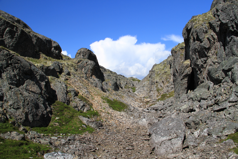
The route out was indeed comparatively simple. I thoroughly enjoyed the hike, and even stopped to swim in 3 of the little lakes – it was wonderful! 🙂
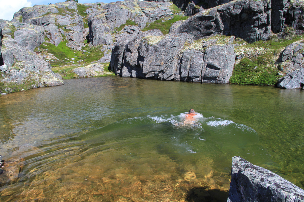
This is the largest of the lakes, with several feet of snow at the northeast end.
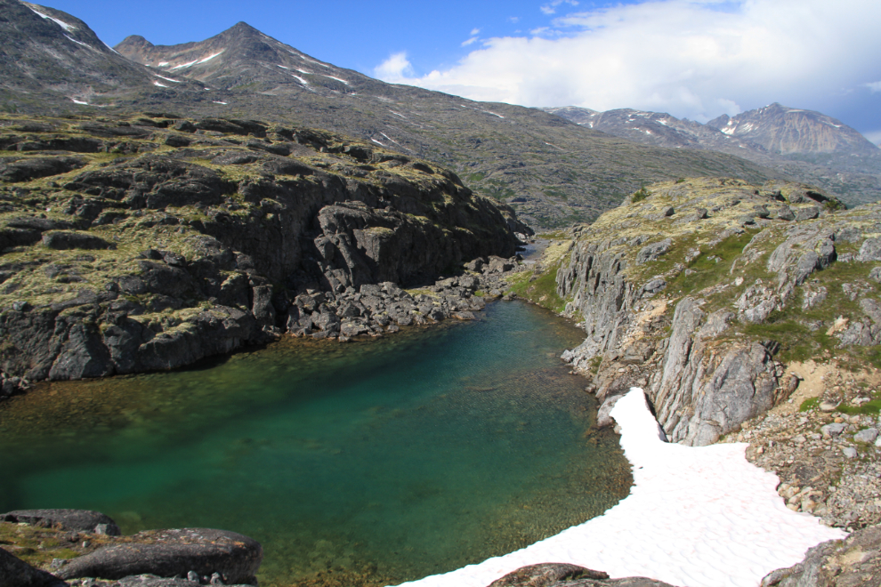
Almost back to the car.
Even with all my stops, it took a bit less than 2 hours to reach the car. That makes the mine a much more reasonable day hike for the future – it’s a very large site and there’s a lot more I want to see there.
