Enjoying Yukon Summer on Mount Mac
What a crazy summer it’s been so far! I decided to not even try to catch you up on what’s been going on in my world for the past few weeks, but start fresh.
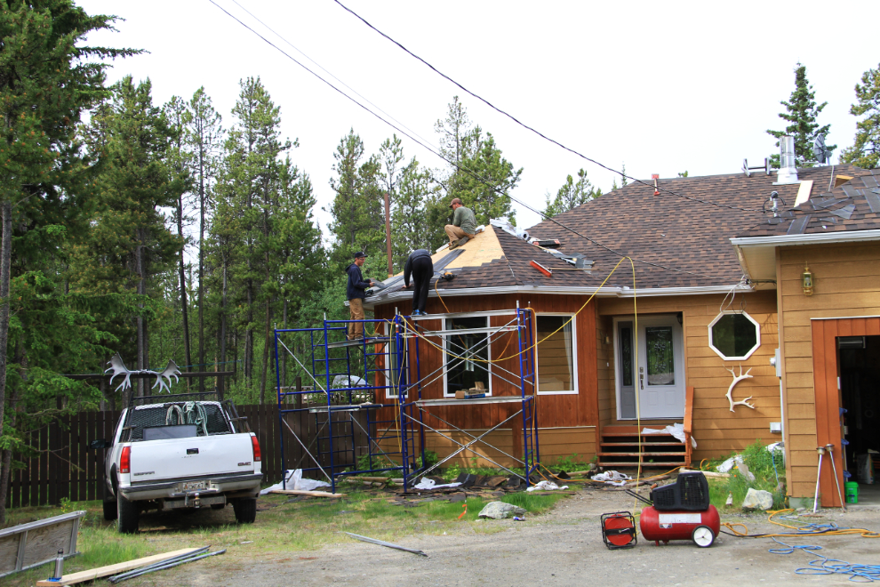
We’re doing a lot of major renovation work on the house. After an initial hard time getting contractors, things are now going full tilt. The new roof was finished yesterday afternoon.
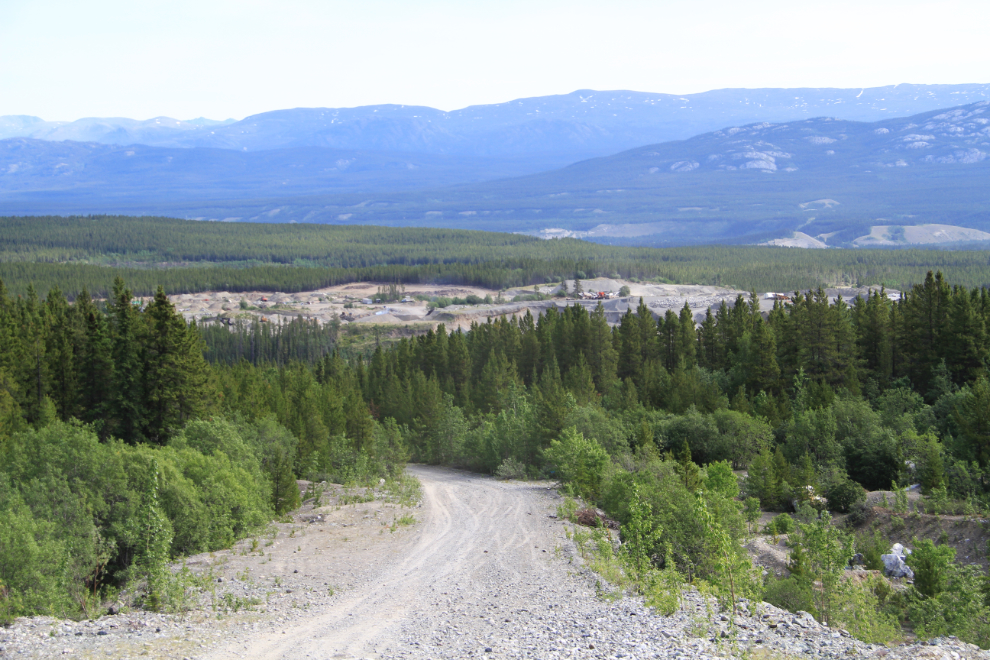
The weather is finally superb, and after being tied to the house for many days, Monty and I took Cathy’s Tracker up to the summit of Mount McIntyre (“Mount Mac”) to do some hiking in the alpine. Just starting up Mount Mac, this is the view back down to the largest gravel pit in Whitehorse.
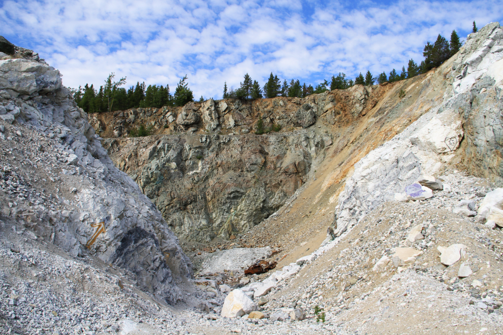
The road goes through the old Whitehorse Copper mine property – this pit where copper ore was blasted out is right beside the road.
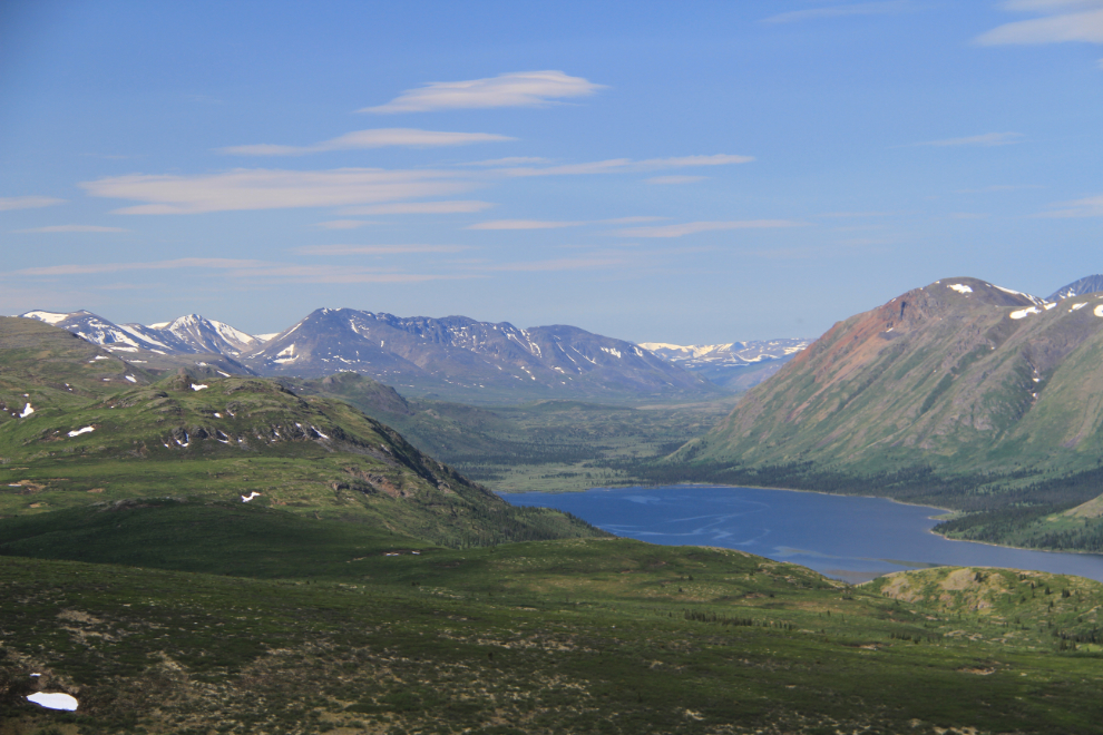
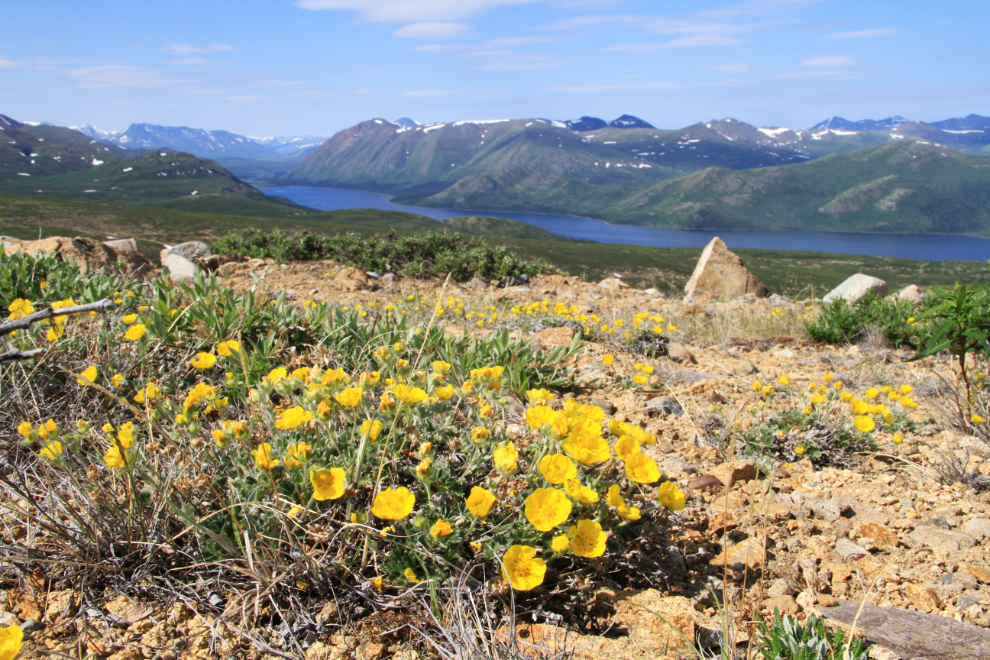
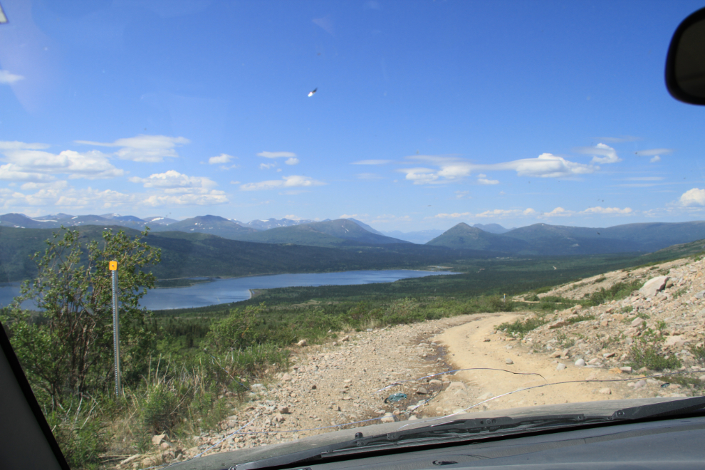
This is the view from near the summit. The road gets rougher and rougher as the years go on, and it does now take a 4X4 with some clearance to get up to this view to the south over Fish Lake.
There were flowers everywhere. This is about the peak for several species including these – which I believe are mountain buttercup (Ranunculus eschschotlzii).
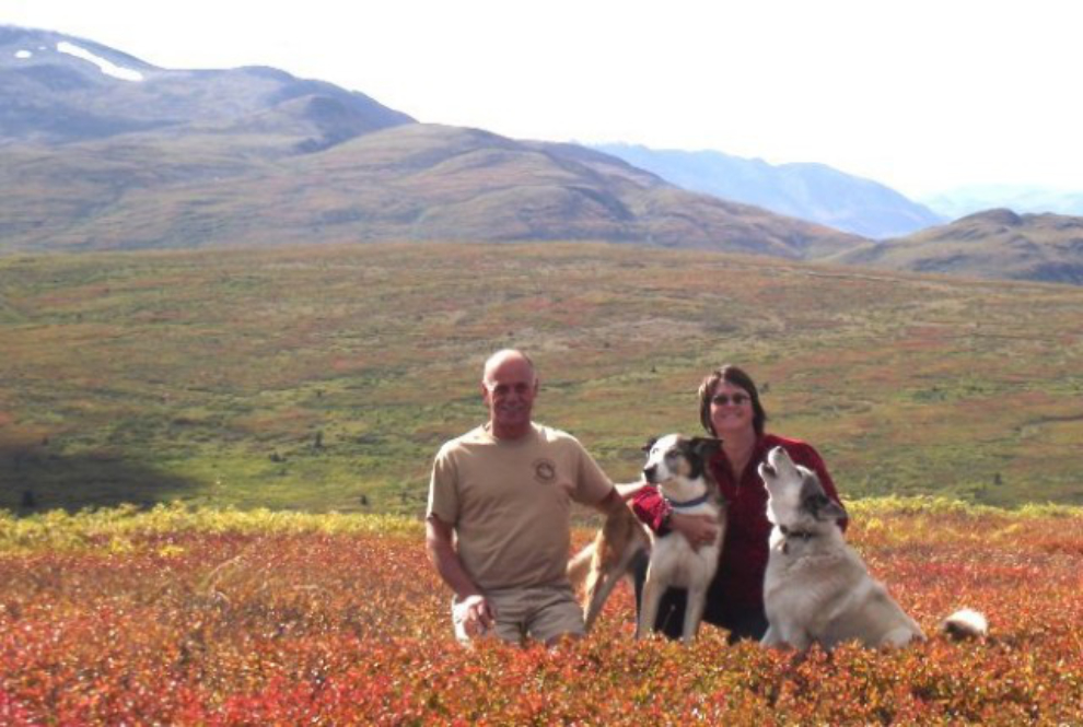
This photo was shot a few hundreds yard from the location above, in late August 2010. Lots of colours, but of a very different type! My sweet Kayla never passed up a chance to display her wolf heritage 🙂
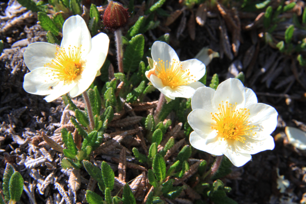
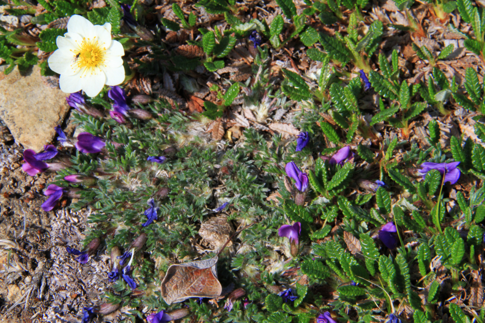
Alpine anenome (Anenome drummondii) were also abundant. The vast majority of the flowers in the alpine are low to the ground, and some have very tiny, though no less beautiful, blossoms.
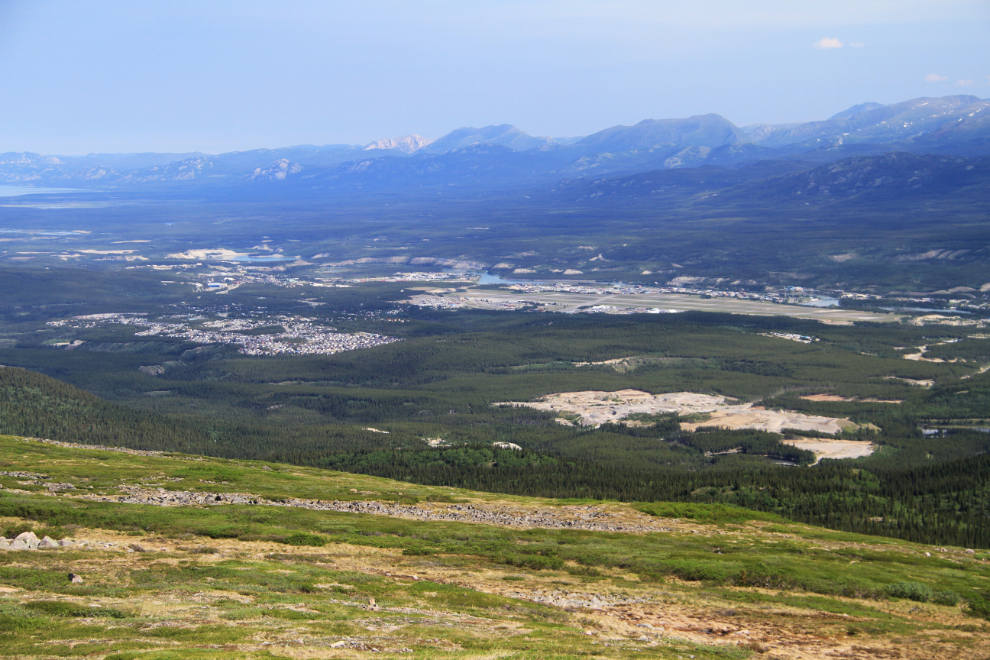
Whitehorse – the large bare area is the airport, and at the upper left is Lake Laberge.
I haven’t yet figured out what the tiny, complex, purple flowers are.
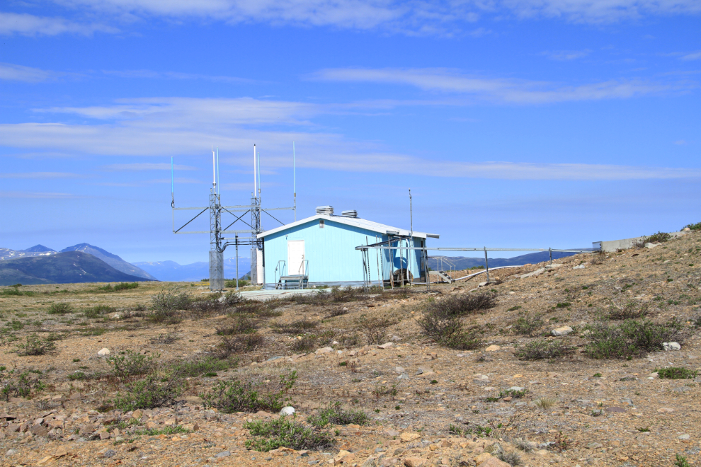
This is part of the air navigation/communication at the summit of Mount Mac. From here we drove on a very rough track for another half-mile or so.
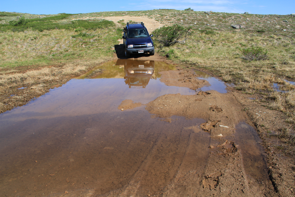
I thought about driving through this mudhole, but didn’t for a few reasons. Although I walked it and it seemed passable, I’ve seen some extremely soft and deep spots, and we were there for a walk anyway. So I parked back off the “road” and we headed east along the ridge.
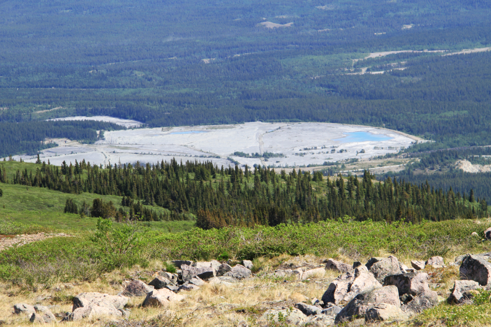
Looking down at the tailings pond of the Whitehorse copper mine’s mill, which closed some 55 years ago.
That’s the Alaska Highway and Marsh Lake in the distance to the east.
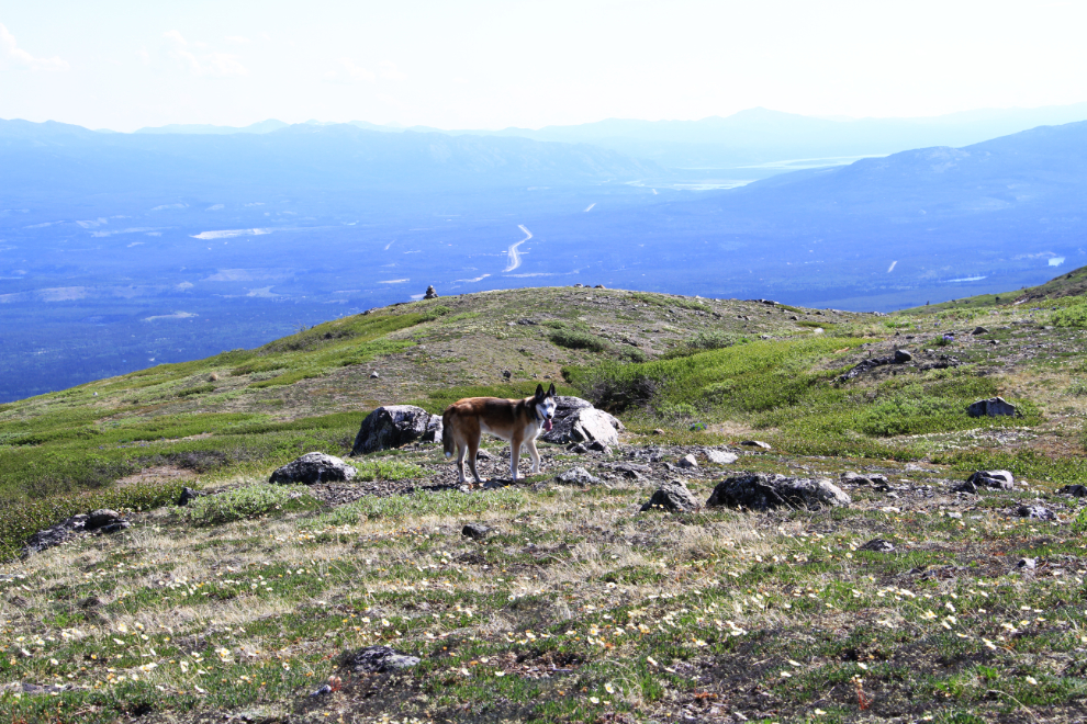
Far above treeline, a few widely scattered and very stunted spruce trees are right on the edge of survival.
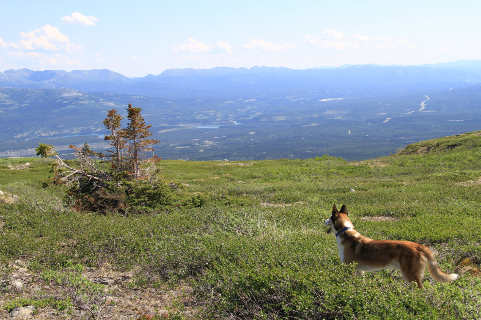
Can a Yukon summer day get much better than this? Warm sun, flowers, a great view, and a happy pup 🙂
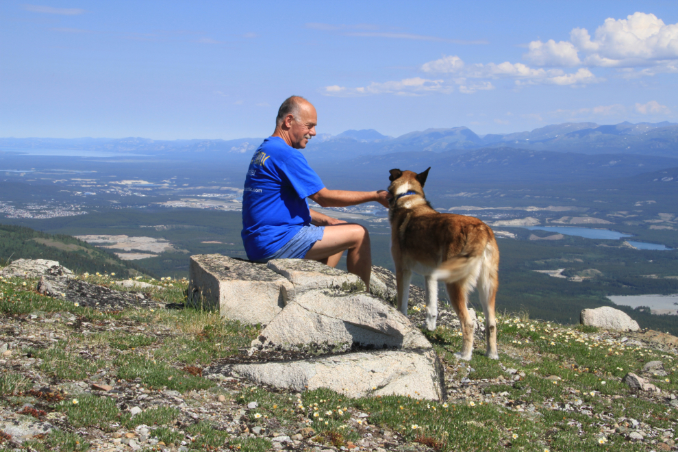
This pond was very much welcomed by Monty – he spent quite a while in the water.
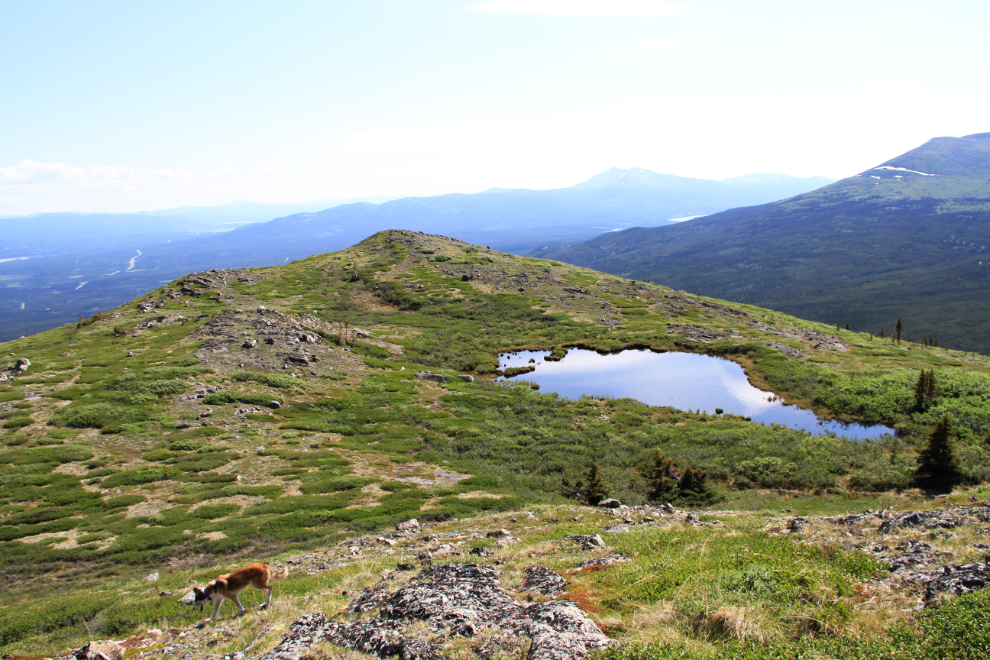
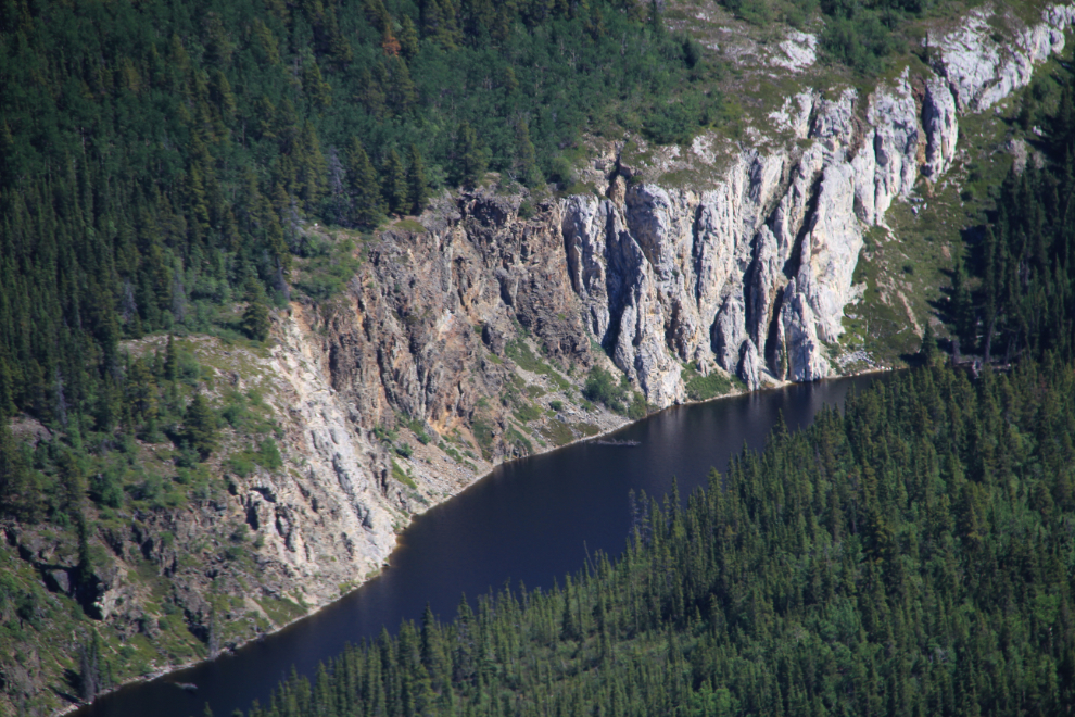
I must make the short hike into this impressive lake some day soon.
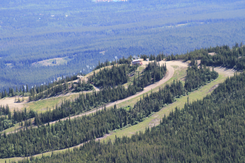
The Mount Sima ski hill from an angle that not many people see it from. This was the turn-around point of the hike for us – from here the slopes were too steep to be fun.
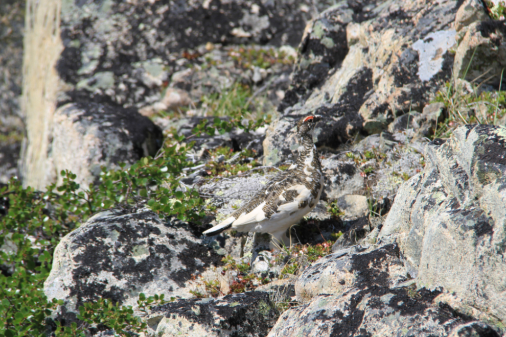
Doesn’t this ptarmigan have great camouflage? He’s in the middle of turning from winter’s all-white to summer’s mottled-brown.
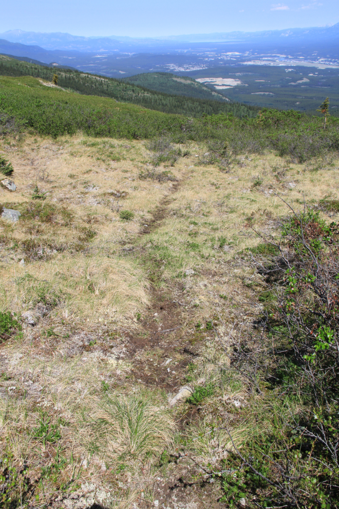
What seemed to be a very well-used moose trail. I was rather surprised to see a fair bit of moose droppings on the ridge.
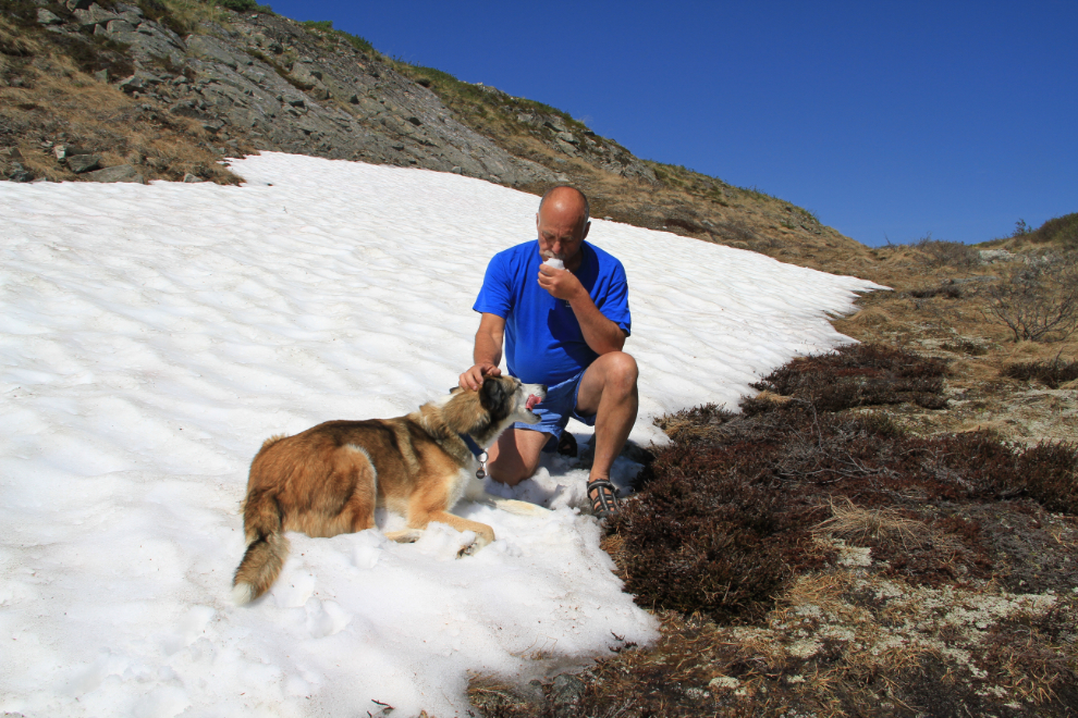
We took advantage of patches of snow to cool off a few times – laying in it felt soooo good!
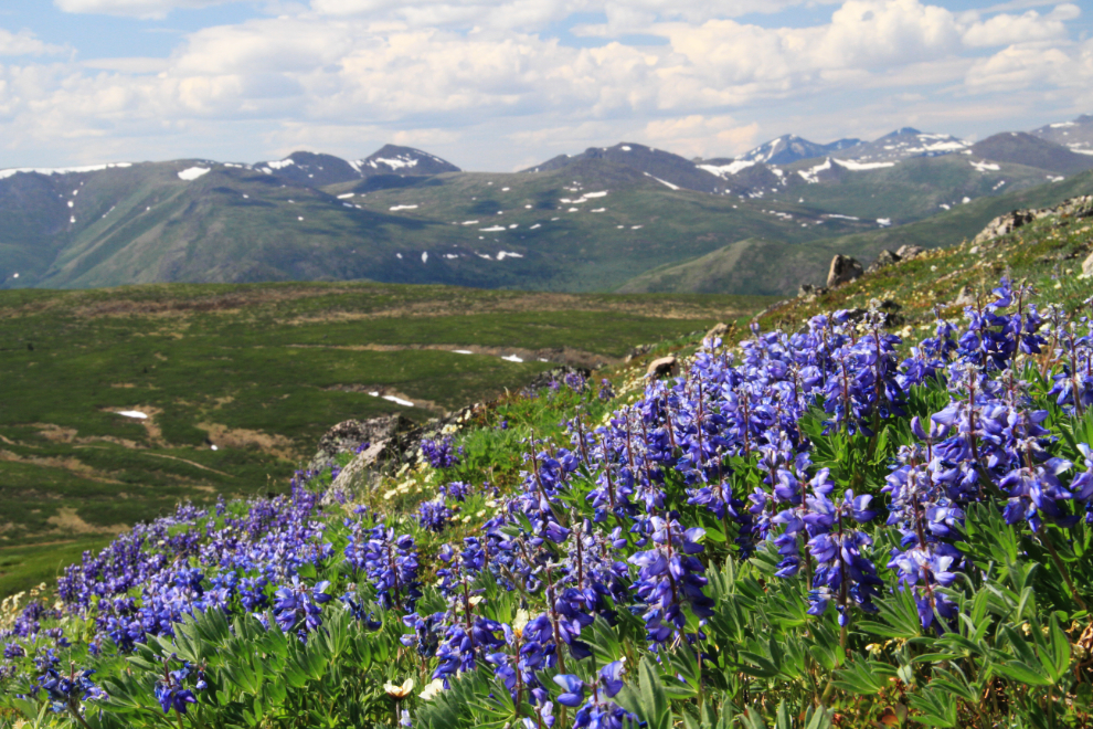
We went back to the car on a different route, on the south side of the ridge, and the flowers were quite different. This dense field of lupine was about 30 feet square.
We were back at the car about 3½ hours from when we began the hike. That’s Fish Lake again on the way down.
Today, I’m watching a sidewalk and a large concrete pad in front of my garage being laid. Tomorrow, probably another little adventure before 2 more contractors arrive on Thursday…