Driving the Icefields Parkway in late Winter, and exploring Jasper
Yesterday was my last full free day to explore from Hinton, so I decided to get away early (well before 09:00) and see what else I could find around Jasper.
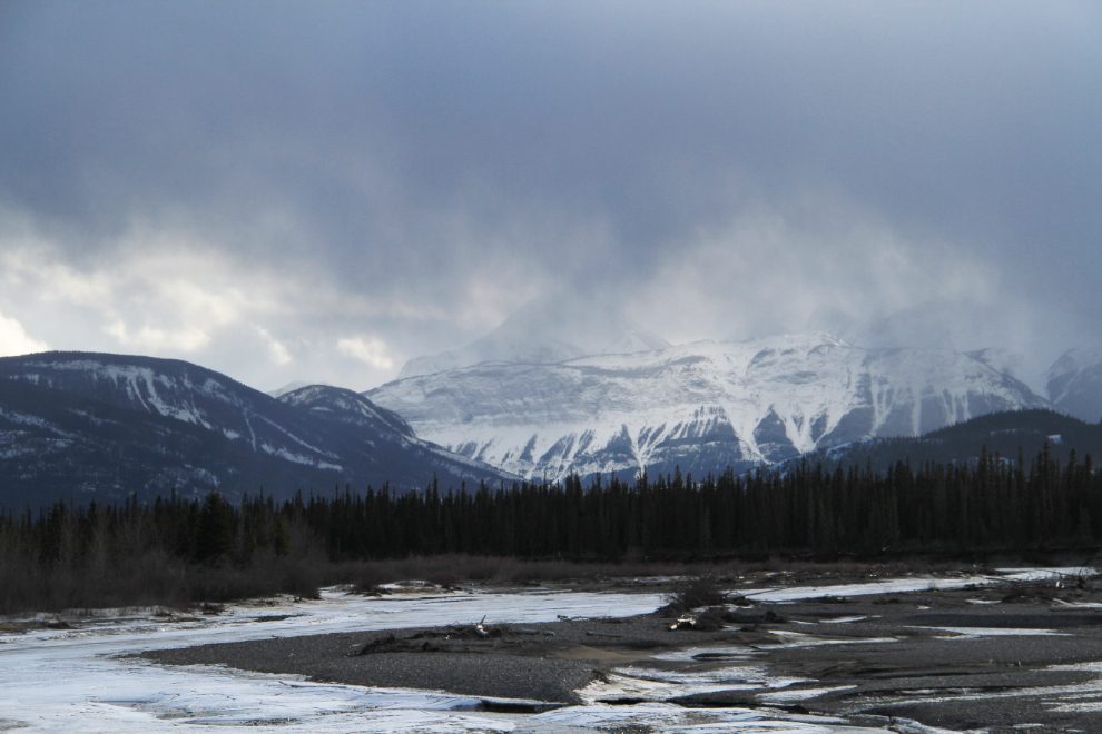
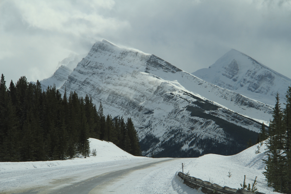
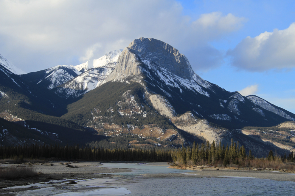
I’m finally confident in my identification of this mountain as Roche à Perdrix, which is 2,135 meters (7,005 feet) high. The name translates from French as “partridge rock”.
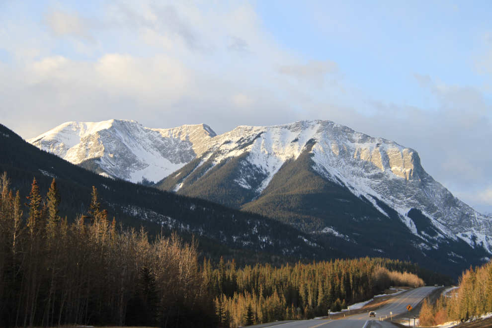
At the Jasper Park gates, the ranger told me when I asked about the Icefields Parkway that it was closed after having been hit with freezing rain overnight, but was expected to open by 11:00. I certainly hadn’t expected that.
Just over an hour after the 08:19 sunrise, the light was still wonderful. The weather ahead wasn’t looking nearly as good as it was at Hinton, and I again thought briefly about turning around and going south down Highway 40 instead, but decided that the weather wasn’t all that important to me this day.
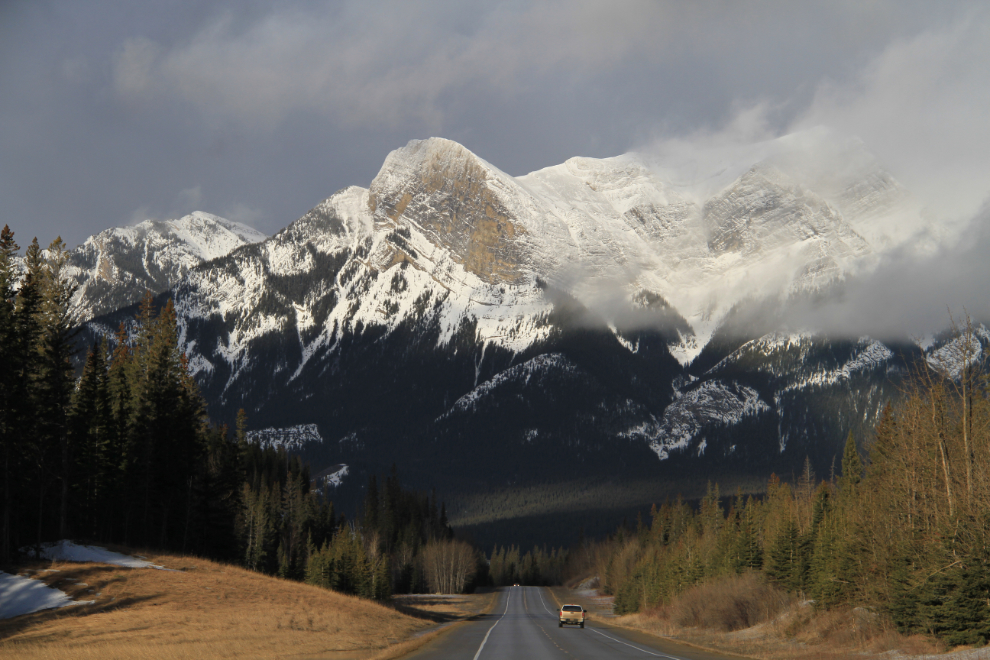
Nearing Jasper, the clouds being driven around the peaks by a strong south wind got me to stop quite a few times for photos.
These are the gates to check park passes, which are required to drive the Icefields Parkway. The van that can be seen on the left was in the ditch, having misjudged just how icy the road was.
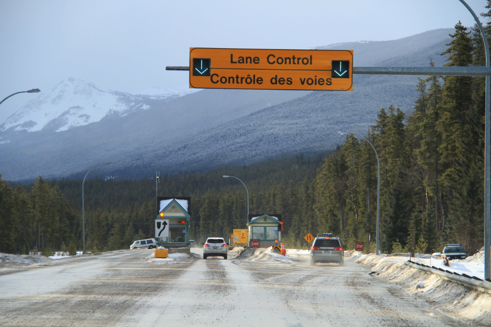
The highway barricade gate seen on the left had just been raised as I got there at 10:30, but the road was extremely slippery. I had found out just how slippery when I stepped out of the car to get this photo. My tires didn’t slip but my shoes sure did!
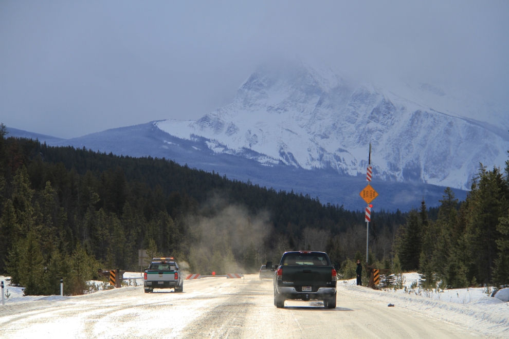
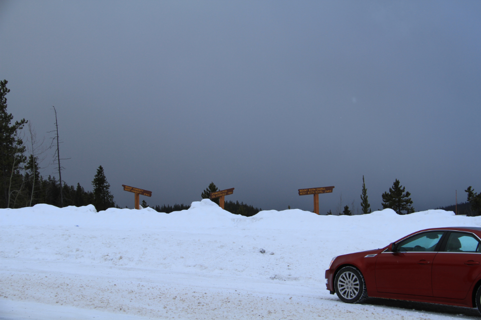
A viewpoint with no view. At this point I stopped and did a long ponder about whether continuing was worthwhile when no mountains could be seen. Athabasca Falls didn’t really require a high ceiling, and it was only a few miles ahead, so that was the probably turn-around point.
Athabasca Falls is a must-stop for everyone who uses the highway, so it can get extremely busy. Being one of the first 5 vehicles on the highway today, though, there was only me and a young couple. This is a panorama created by stitching 2 vertical photos.
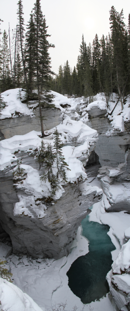
And this panorama was created by stacking 3 horizontal photos.
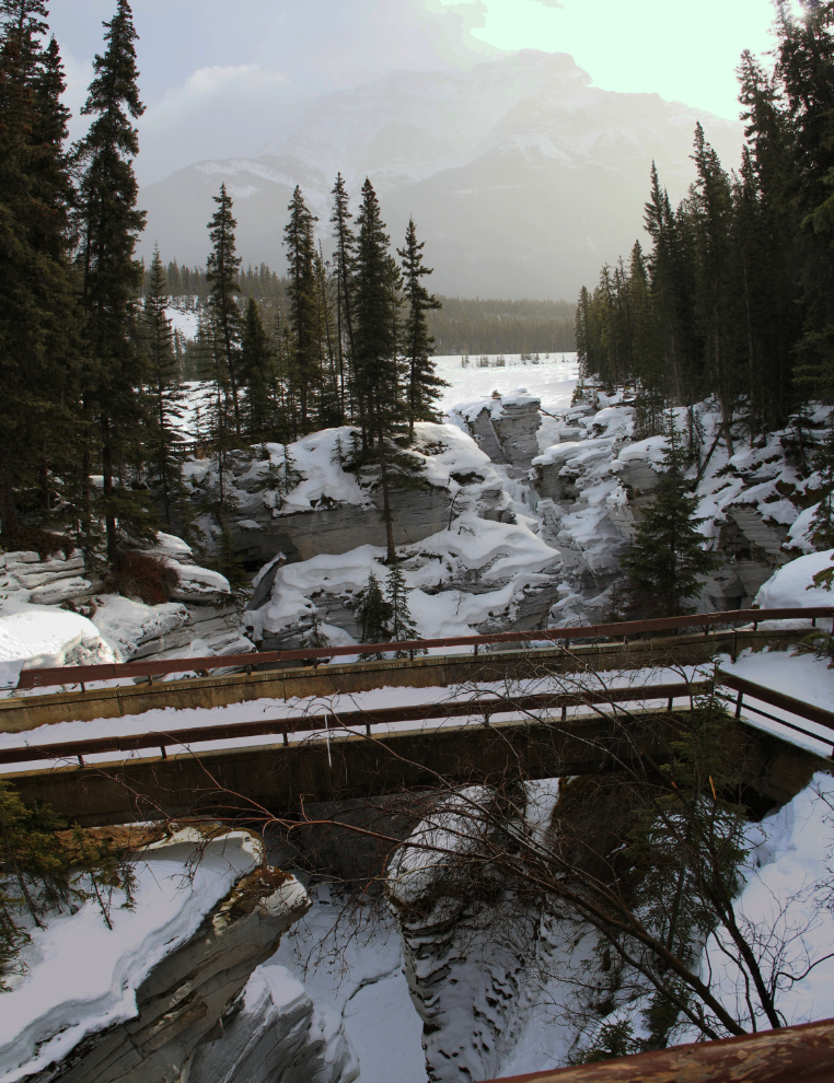
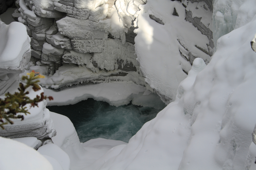
This was the only hole where you could see that there was still water flowing under the ice.
After I’d been at the falls for about half an hour, the sky started to clear 🙂
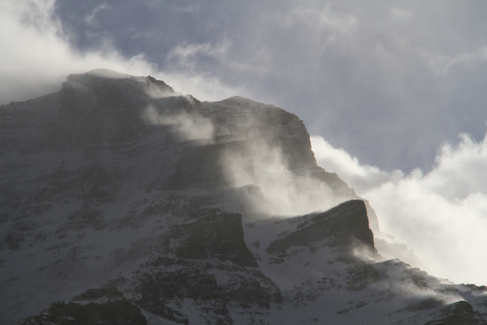
At the same time as the clearing skies, a large group of noisy teenaged students arrived.
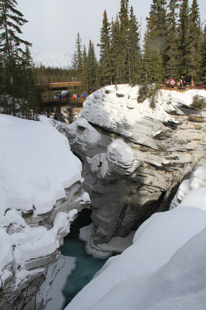
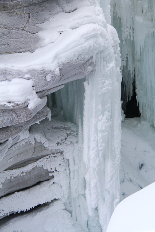
The ice in the winter is actually easier to photograph than the waterfall in the summer, because in the summer it’s almost impossible to keep the spray off your camera’s lens.
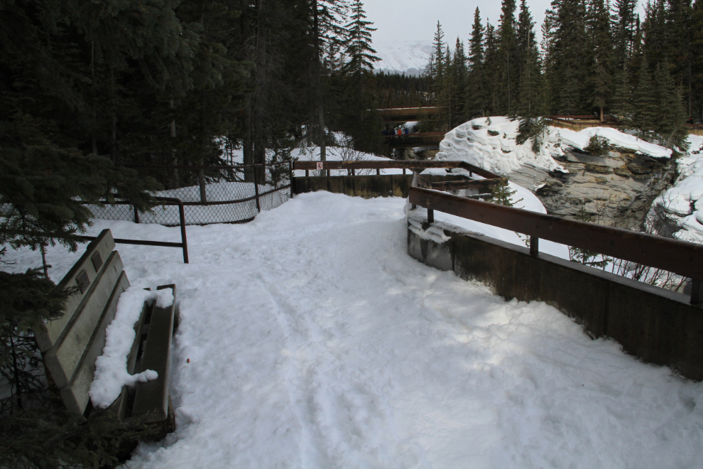
There are quite a few signs around the falls warning of the danger, and the wording on some is very blunt – “Once over the falls, death is swift.” On the left is a memorial bench for 21-year-old Roger Raymond Wilgenbusch, who went over the falls on June 9, 2002. The sign reads, in part “…he made a bad judgement call on that day. His decision has changed the lives of family and friends forever.” 🙁
I left the falls at about 11:40, and this 3-image panorama shows the range in weather over a few miles 10 minutes later. These small storms passed through constantly during the day.

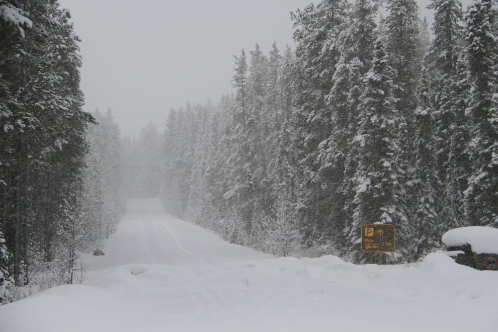
Sunwapta Falls is 1 km down that road. Although there were tire tracks, I didn’t want to see it that badly.
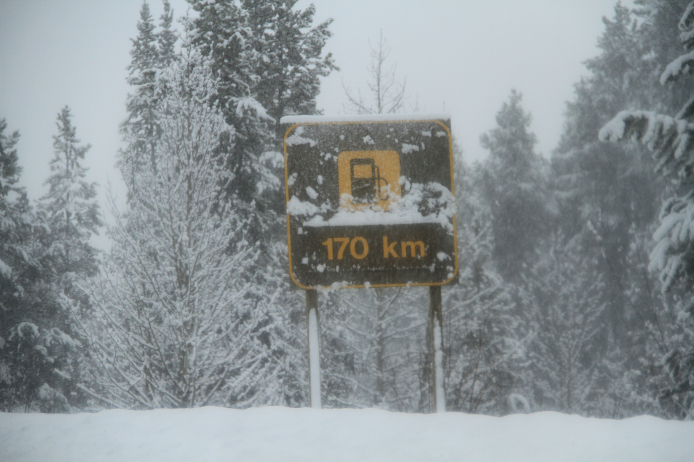
The fact that the “170 km” part of the sign was an addition was my pretty solid clue that the resort and gas pumps at Saskatchewan River Crossing were closed for the winter (it’s much closer than that). So that got eliminated as a possible final turn-around point.
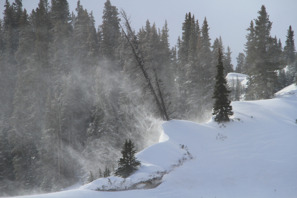
Some of the spindrift was very impressive.
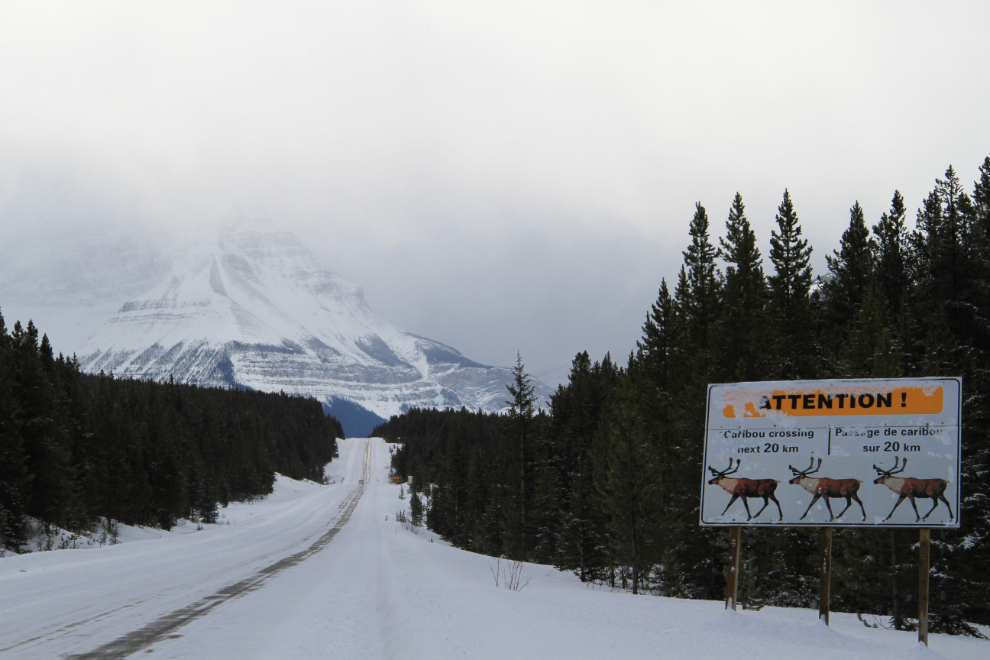
Lots of warning signs, but I didn’t see a single animal all day, except for a road-killed deer as I neared Hinton that evening.
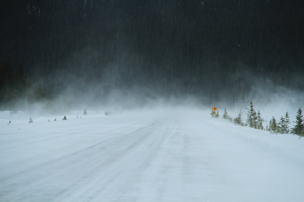
By 12:30, the wind was getting very strong, and visibility got quite poor in some spots. When I posted this photo on Facebook last night, my daughter’s response was “Ya, you’re probably the only weirdo that thinks snow storms are perfect for road trips. LOL”. True enough 🙂
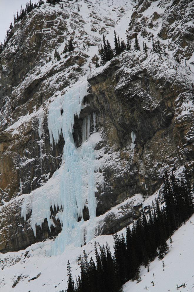
Now that’s an impressive icefall!
This odd creation at a significant summit on the highway brought me to a halt. I just couldn’t make any sense of it – a combination of Rockies and Star Wars architecture. The high peaks across the valley are hidden by snow falling and mist.
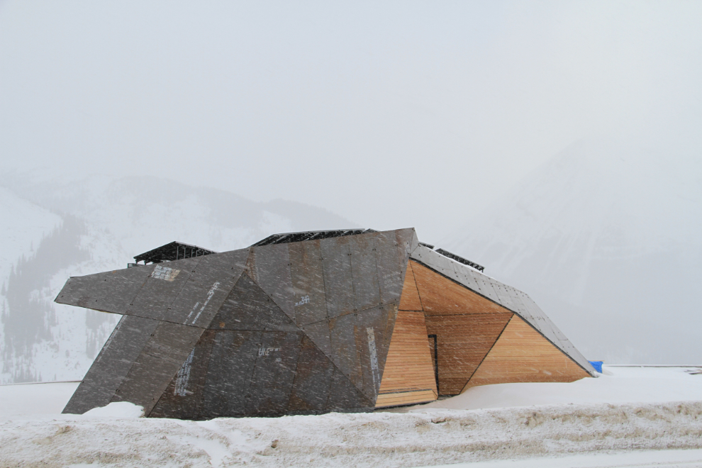
OMG, it’s a Skywalk! How cool. A bit of research has shown it to be the Glacier Skywalk, which will be opening this summer.
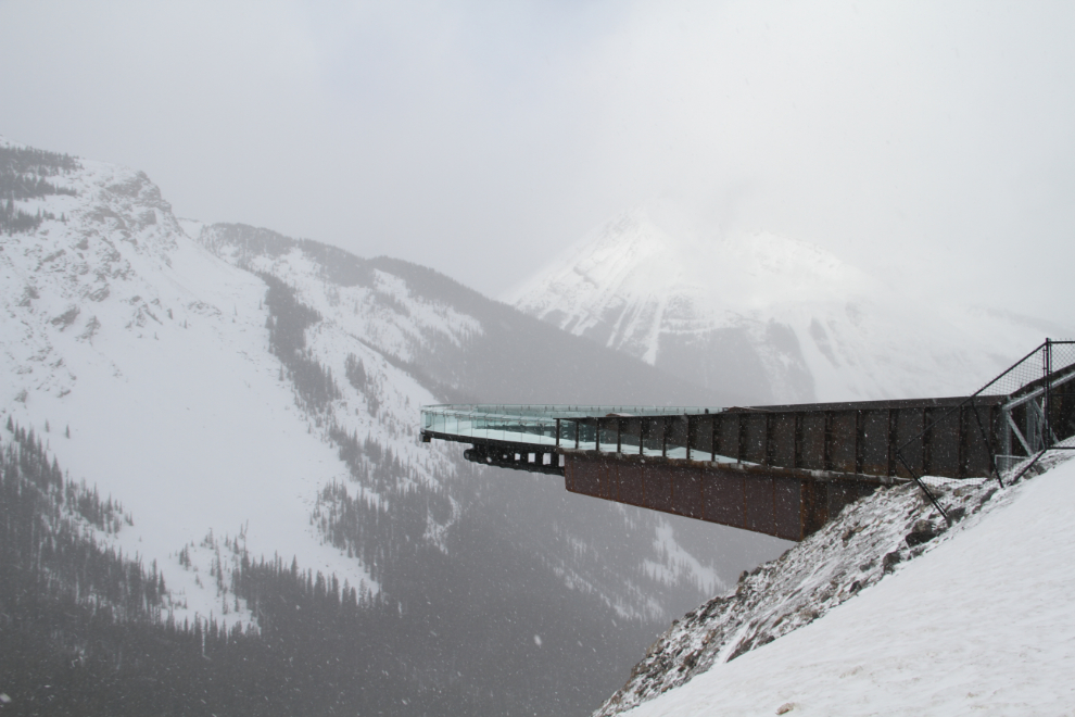
Ah, the spectacular, world-famous scenery at the Columbia Glacier! 🙂
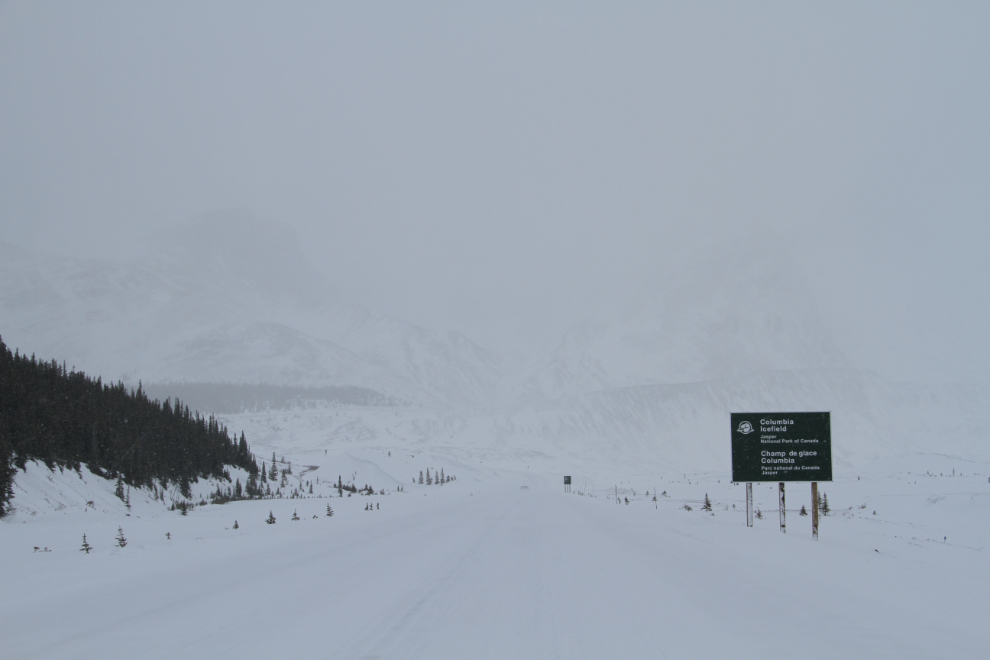
I had no idea whether the Columbia Icefield Glacier Discovery Centre would be open – I hadn’t really thought about it, although once on the highway figured that it would be a great place to stop for lunch. But no, it was closed.
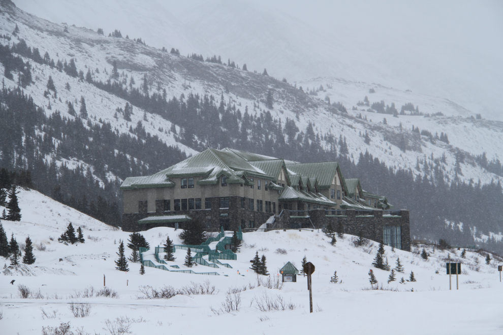
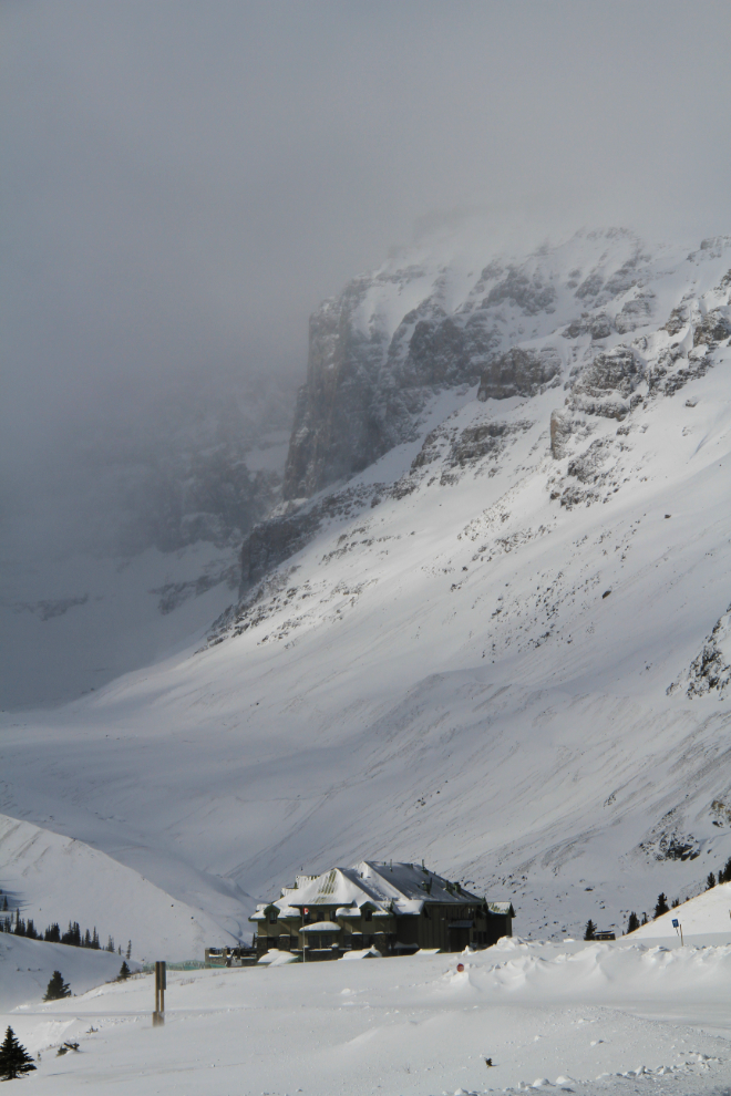
The odd small patch of sunshine above the Icefields Centre wasn’t even much encouragement, given the speed at which the weather was changing back and forth.
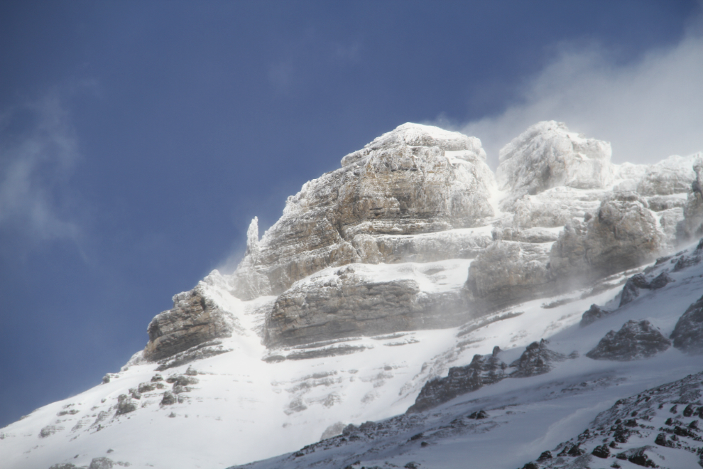
Blowing snow along the road.
Another view of the Icefields Centre as I headed back towards Jasper.
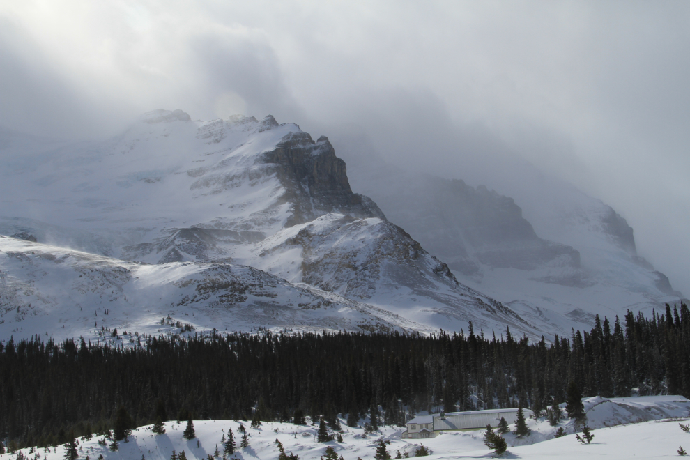
I took a lot of photos around the Columbia Icefield.
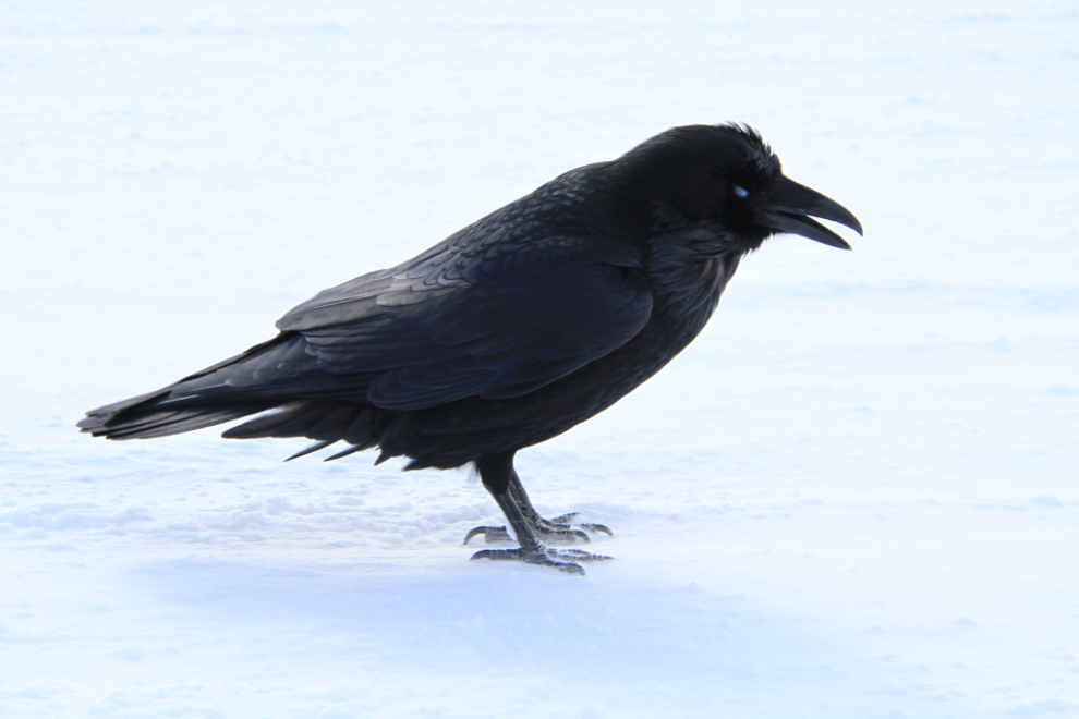
In this place, in this weather, I was very surprised to have 2 ravens land beside the car for a bit of a chat. If I would have had any food, I would have shared it – they deserved all the help they can get.
I believe that’s the Athabasca Glacier.
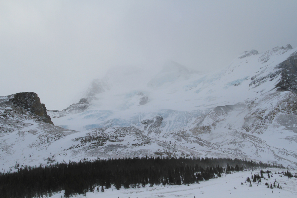
I left the Columbia Icefield at 1:35, and was back in Jasper at 3:00 to find a heavy snowstorm.
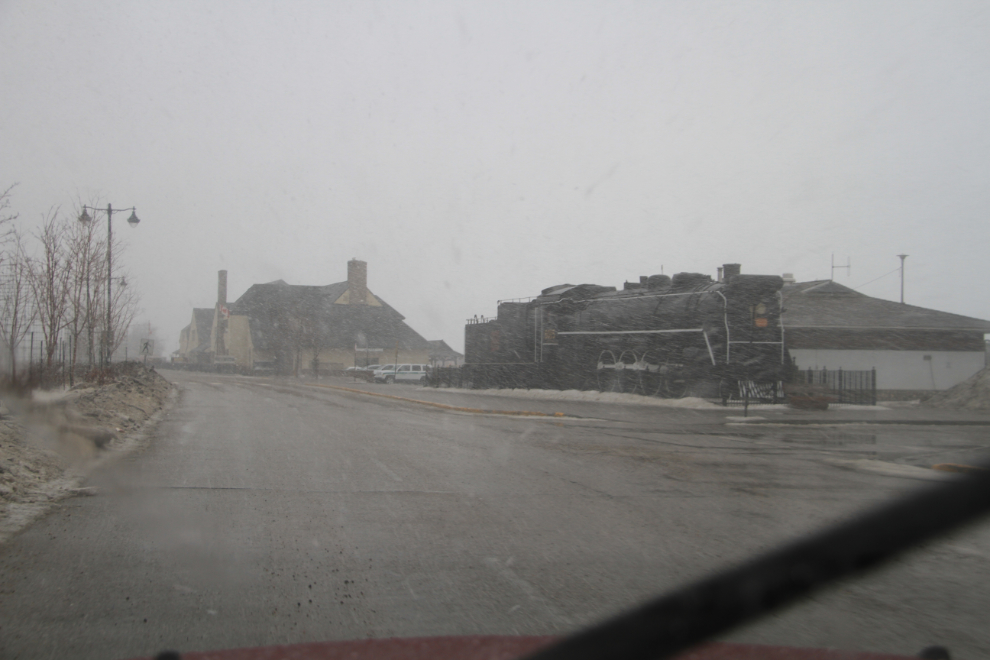
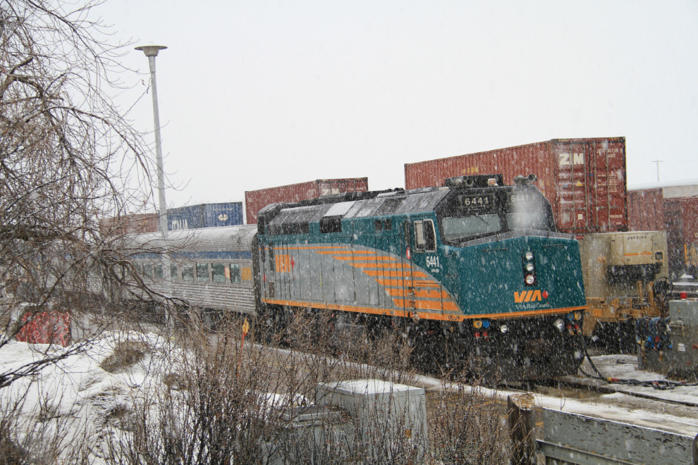
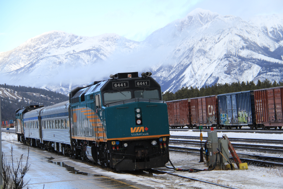
I went over to the spot where I’d seen the VIA Rail “Canadian” and got a couple more photos.
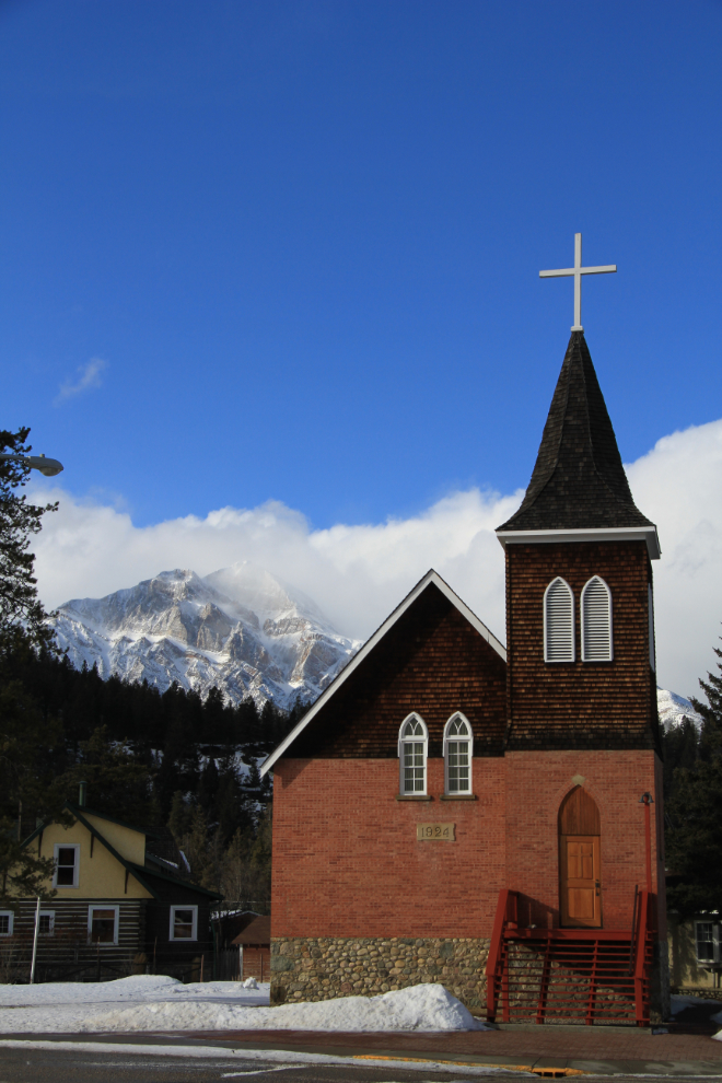
I could spend a whole day shooting buildings in Jasper – there’s some wonderful architecture.
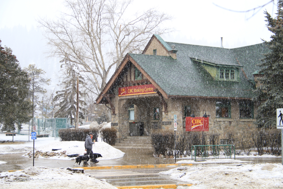
With the snow getting heavier and heavier, I decided to take refuge – in the pub I found a few days ago.
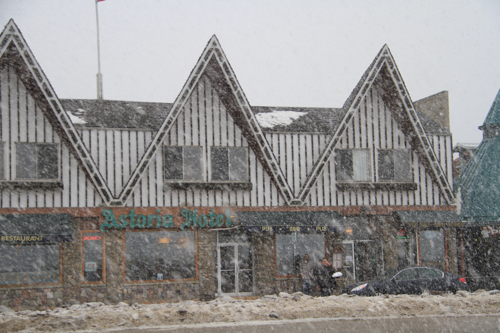
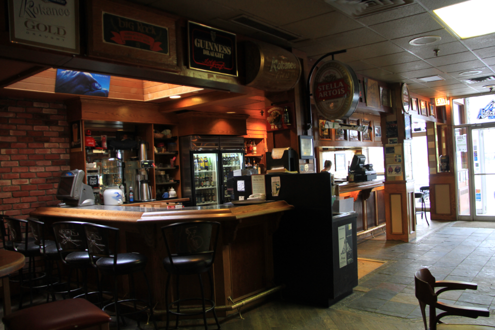
The De’d Dog was the right choice again. I wasn’t very hungry, so just ordered their smallest “Pub Burger” – nothing fancy and only $6.50. The advertise it as the best deal in town, but I’d put it as one of the best deals in western Canada for a burger of that quality. Excellent – just what I needed, and by the time I’d finished, the sun was back!
Back to work, getting the train (and others) with better light.
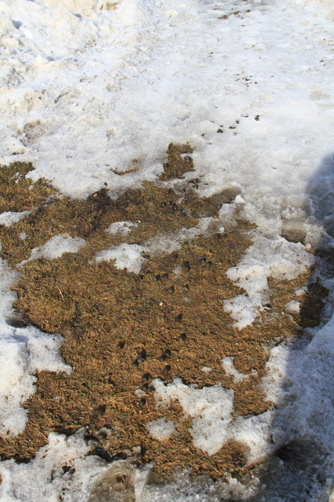
A park in downtown Jasper. Please pick up after your elk, people! 🙂
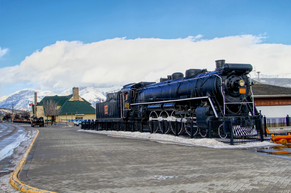
This is an HDR image of Canadian National Railway’s steam locomotive 6015 beside the Jasper railway station. Built in 1923 by the Canadian Locomotive Company, she’s a model U-1-a, 4-8-2 configuration, coal-fired engine.
Being leaving Jasper, I did a small loop around town, looking at more buildings, and found a few that were irresistible.
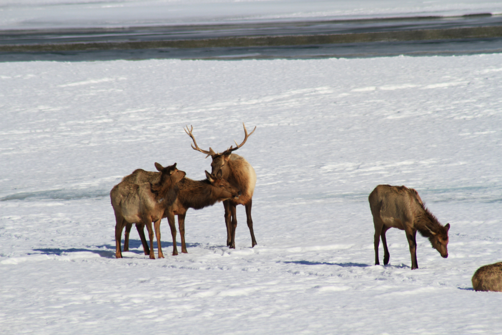
I’d planned to make a quick trip back to Hinton, but of course a herd of elk with a couple of bulls couldn’t be missed.
The drastic weather changes continued. At one point about halfway, this was the view to the north…
…and this was the view back towards Jasper.
