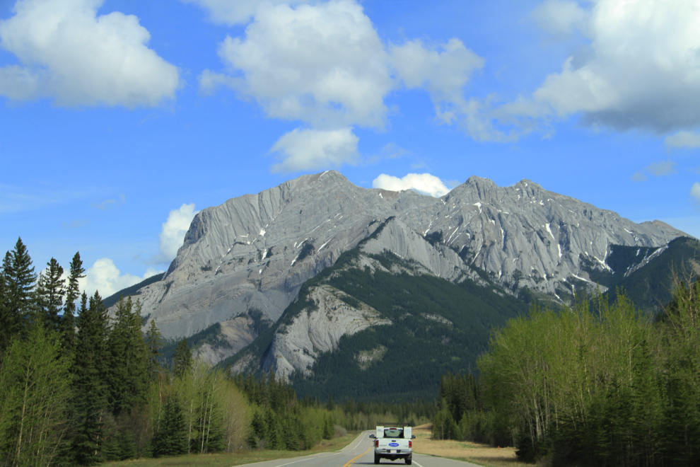
Driving the Icefields Parkway
I got home at noon yesterday, but the blog is still back on Monday, when I drove the Icefields Parkway (see map).
One Icefields Parkway website summarizes the experience perfectly: “To travel the Icefields Parkway is to experience one of Canada’s national treasures and most rewarding destinations. Stretching 232km (144mi.) through the heart of the Canadian Rocky Mountain Parks World Heritage Site, this world-class journey offers access to a vast wilderness of pristine mountain lakes, ancient glaciers and broad sweeping valleys.”
I reached the start of the Parkway at 11:00, and within a few minutes was into heavy rain.
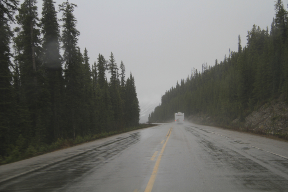
The rain didn’t last long, and then it was back to Winter. The couple in the motorhome looked cozy having lunch 🙂 Many visitors expect it to be at least Spring in May, but even the glaciers are still hidden by a thick blanket of snow.
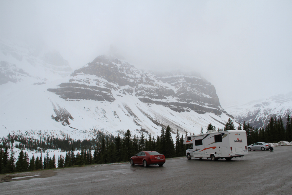
The hike to the Peyto Lake viewpoint at Bow Summit (elevation 2,088 meters, 6,849 feet) was quite a slog. The road for buses is also the walking path for everone else, and it hasn’t been plowed yet. Although there was a narrow path of packed snow, everyone punched through often.
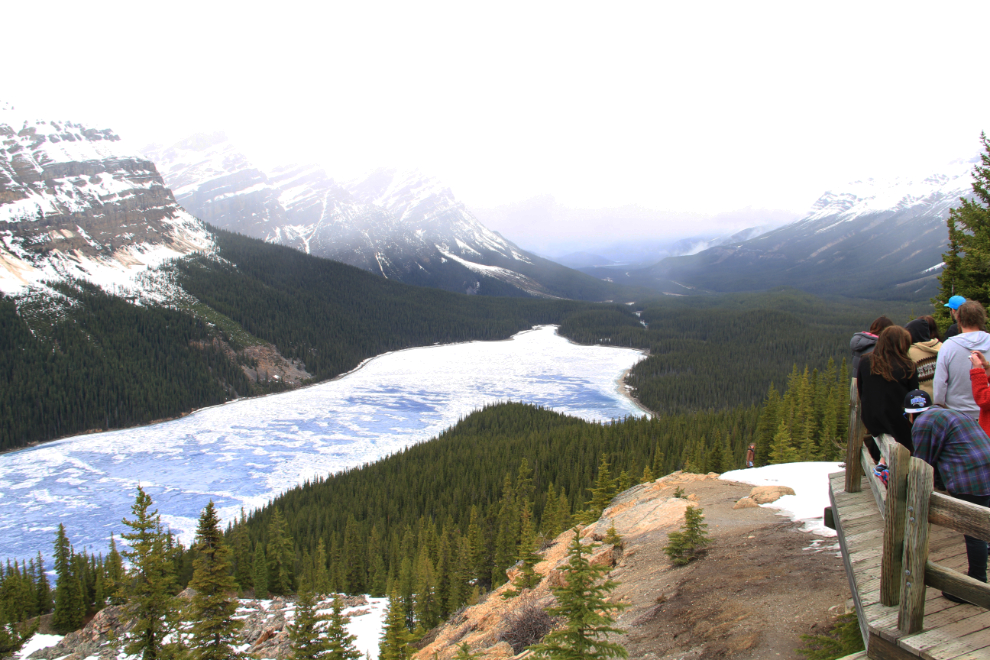
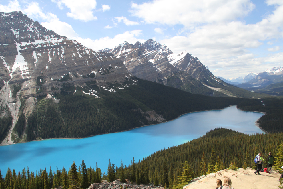
I added this summer photo to show you why Peyto Lake is such an attraction.
It was 12:30 when I left the Peyto Lake parking lot and continued north. Even with sporadic rain and ragged clouds, the scenery is magnificent.
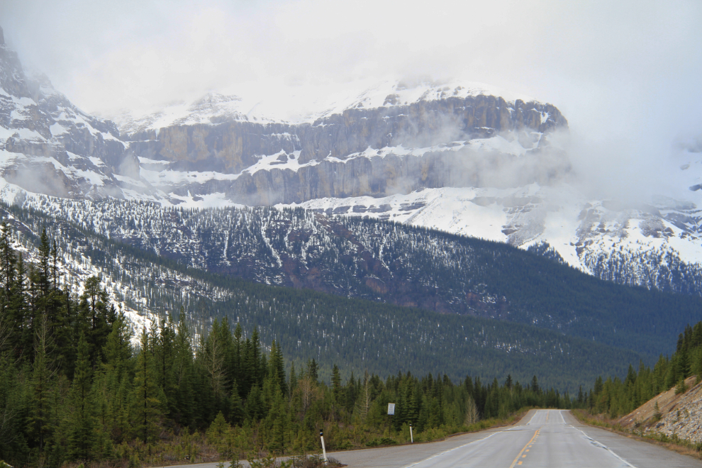
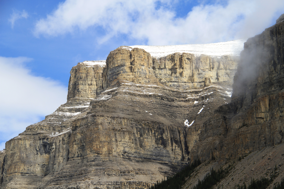
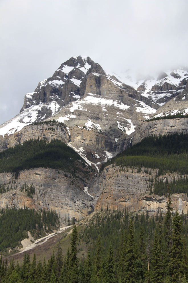
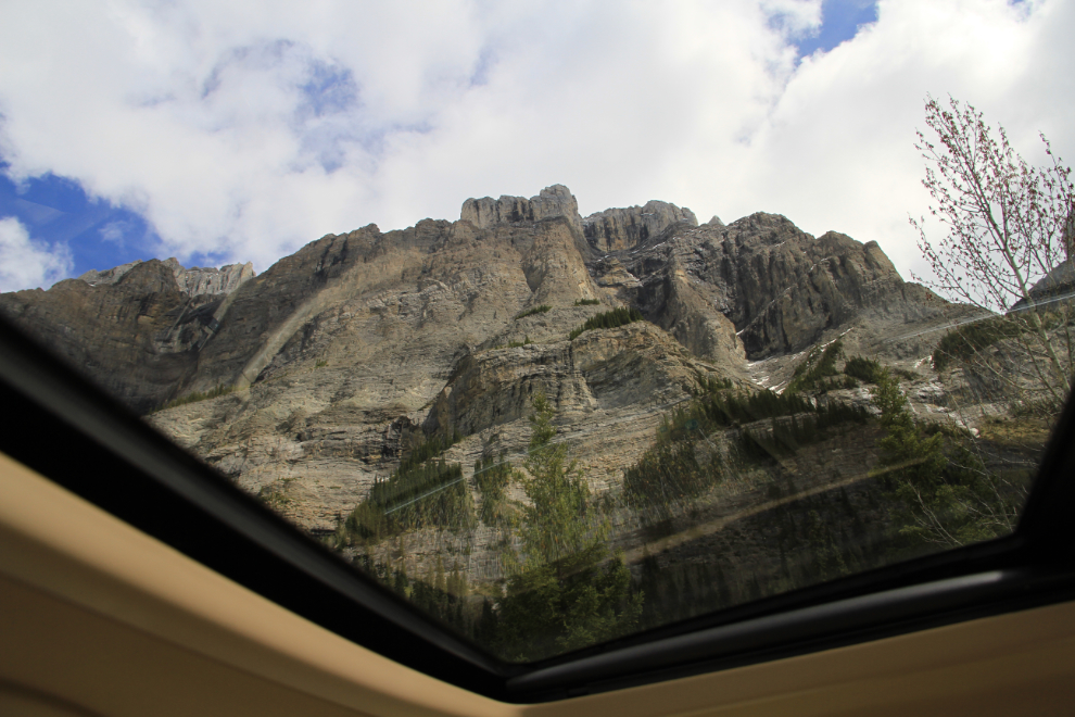
For a photographer, this is a slow drive when you just have the view through the windshield and side windows to distract you – when you can see out the roof it’s even slower! Having a sunroof is no big deal to many of you, but I haven’t had one in nearly 40 years, so am thrilled to have one now 🙂
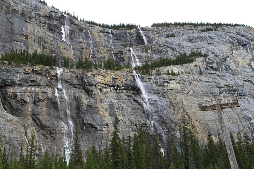
“Weeping Wall” on Cirrus Mountain is particularly impressive this time of year when water flow is at it’s greatest. This point is 106 km (66 miles) from the south end of the highway.
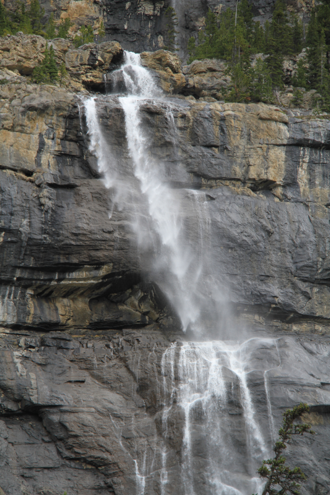
A strong north wind had quite an effect on some of the waterfalls on Weeping Wall.
Climbing up to Sunwapta Pass, which is at 2,035 meters (6,676 feet).
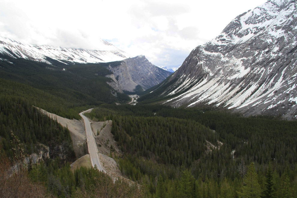
Looking south from Sunwapta Pass, at 1:45 pm.
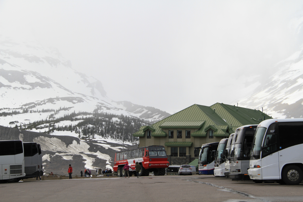
In the summer, Columbia Icefield and the Icefield Centre seen here, are a major attraction. With a layer of snow and low visibility, not so much. The large red vehicle takes visitors across the glacier.
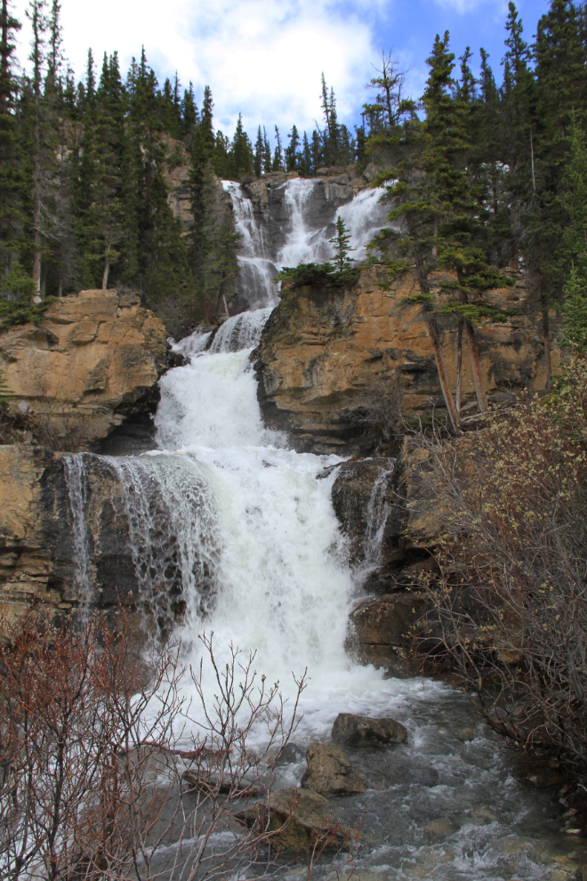
Tangle Creek, seen from the edge of the highway.
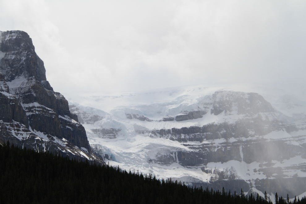
Some of the more visible hanging glaciers along the route.
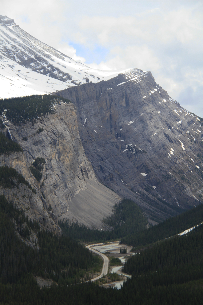
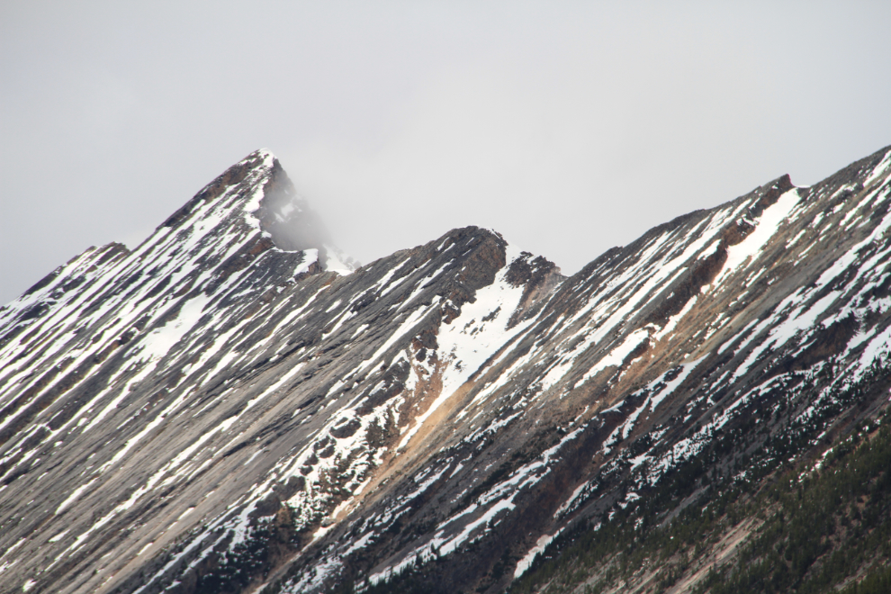
An awesome demonstration of the power of the earth’s shifting plates!
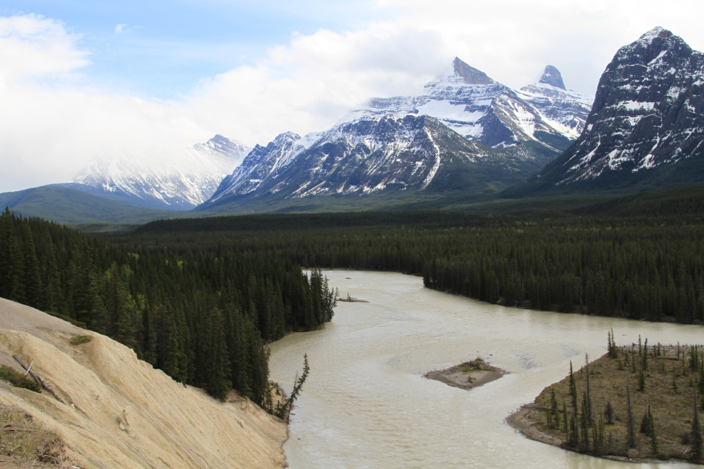
The parking lot for a view of Mount Kerkeslin also offers a short trail to this view over the Athabasca River.
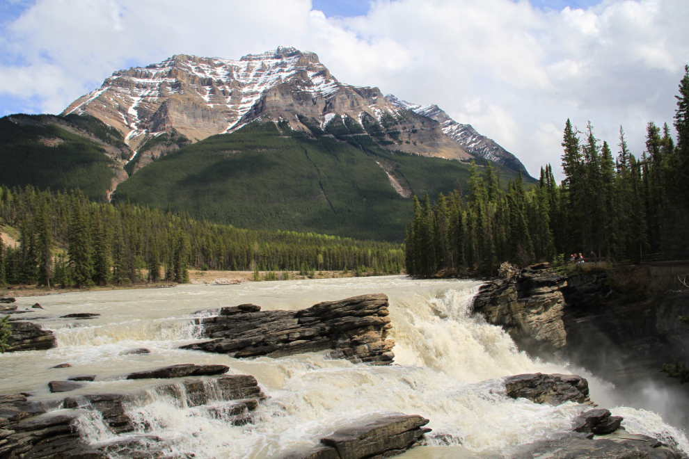
Athabasca Falls can be a long stop – there are many trails and viewing decks over the falls, the very impressive canyon and other features.
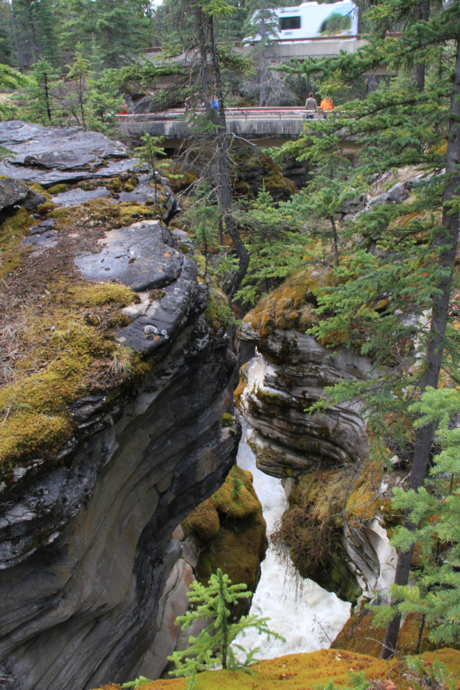
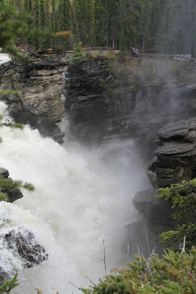
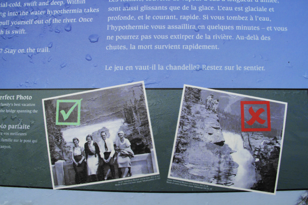
There are warning signs everywhere about the danger of going over the railings for a better look, but there have been 5 deaths at the falls in the past 20 years.
I reached the north end of the Icefields Parkway and turned north onto the Yellowhead Highway (despite the fact that my car’s nav system said to turn onto the “Trans Canada Hwy” 🙂 ). A few minutes later, I could see more rain ahead.
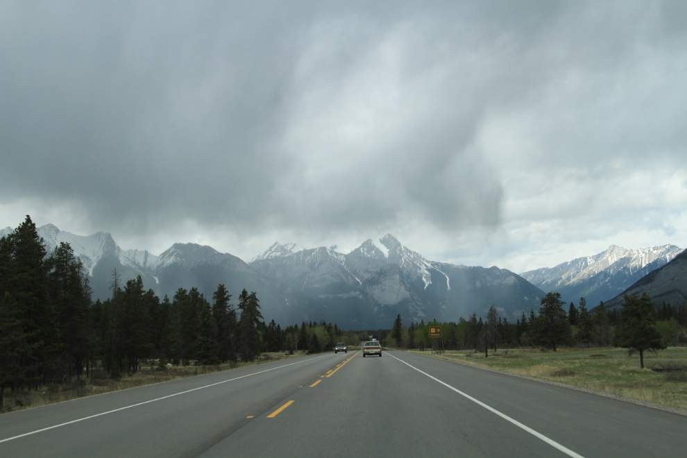
The rain never hit me, though, and the skies cleared as I got close to Hinton, where I’d spend a couple of nights with my son and his wife.
