Driving the Dempster Highway, Fort McPherson to Dawson City
At the end of the last post, Tyson and I had turned back onto the Dempster Highway at 1:05 on April 10th, and were headed for an overnight stay at Dawson City.
This post covers a lot of spectacular miles, and has 54 photos. Of course I have a map for you – the interactive version is here.
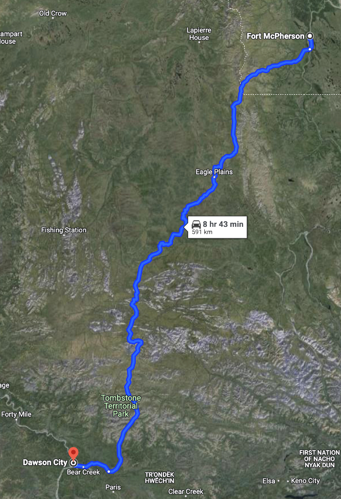
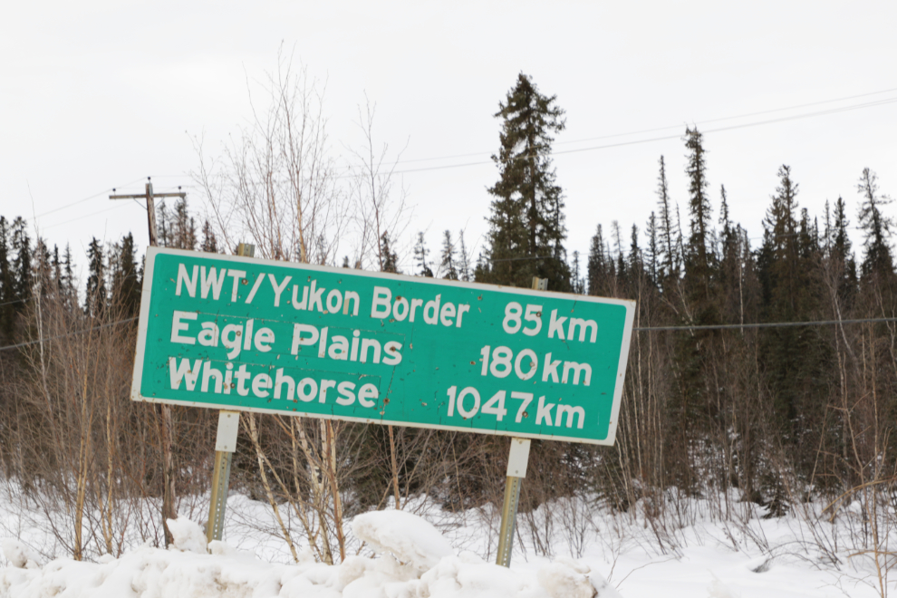
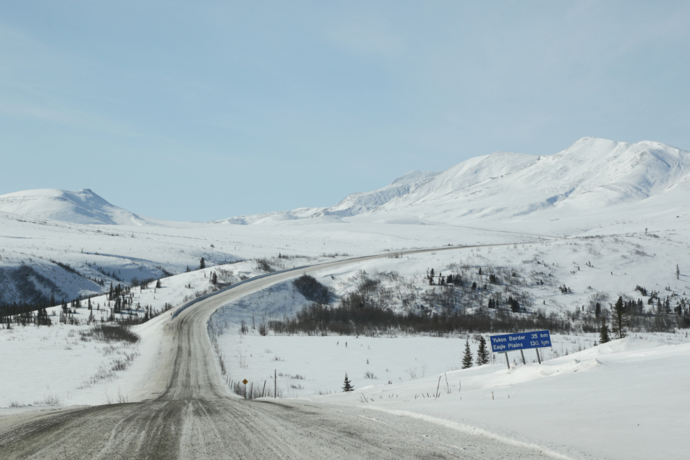
From the Fort McPherson access road, we would take a photo-break at the NWT/Yukon border 85 km south, fuel up 180 km away at Eagle Plains Lodge, and would be home in Whitehorse, 1,047 km away, the following evening.
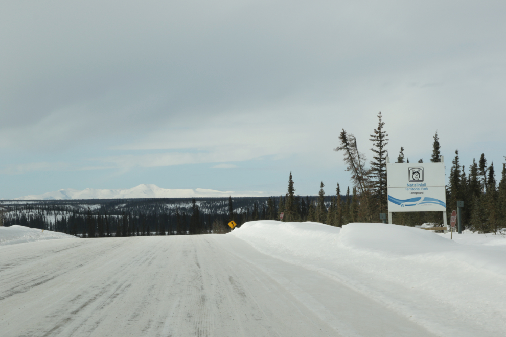
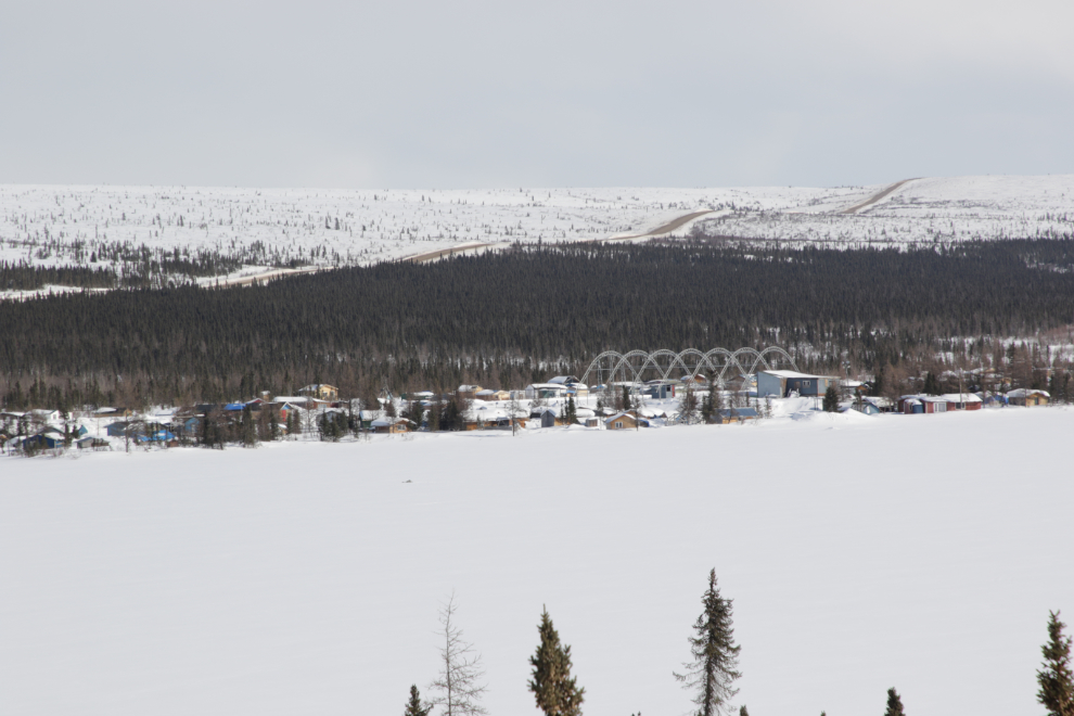
In 10 km we passed by Nataiinlaii Territorial Park. We used the very nice campground here a few times for our lunches on the bus tours.
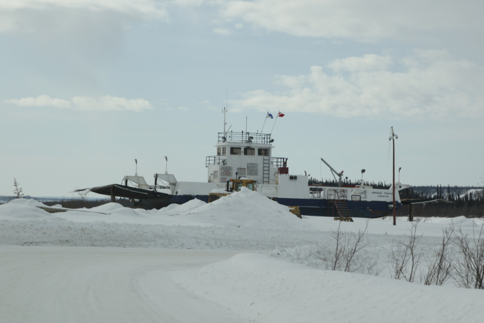
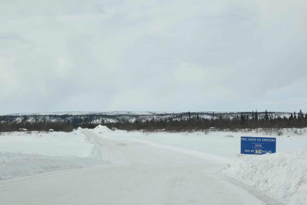
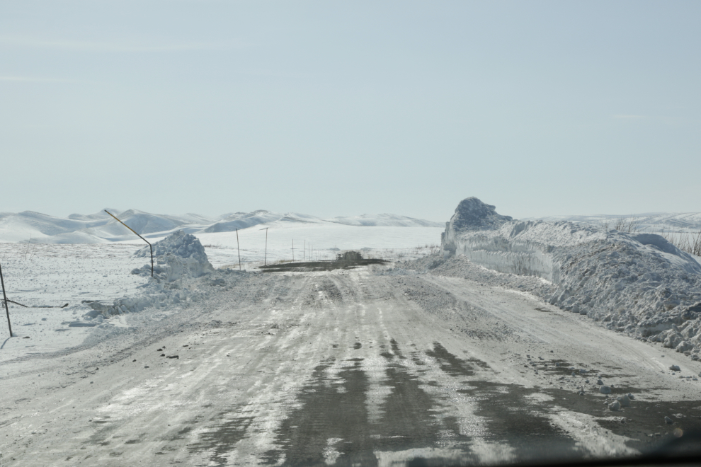
Two minutes after passing Nataiinlaii, we were approaching our second ice bridge, this one crossing the Peel River. The Highways camp here is a substantial size.
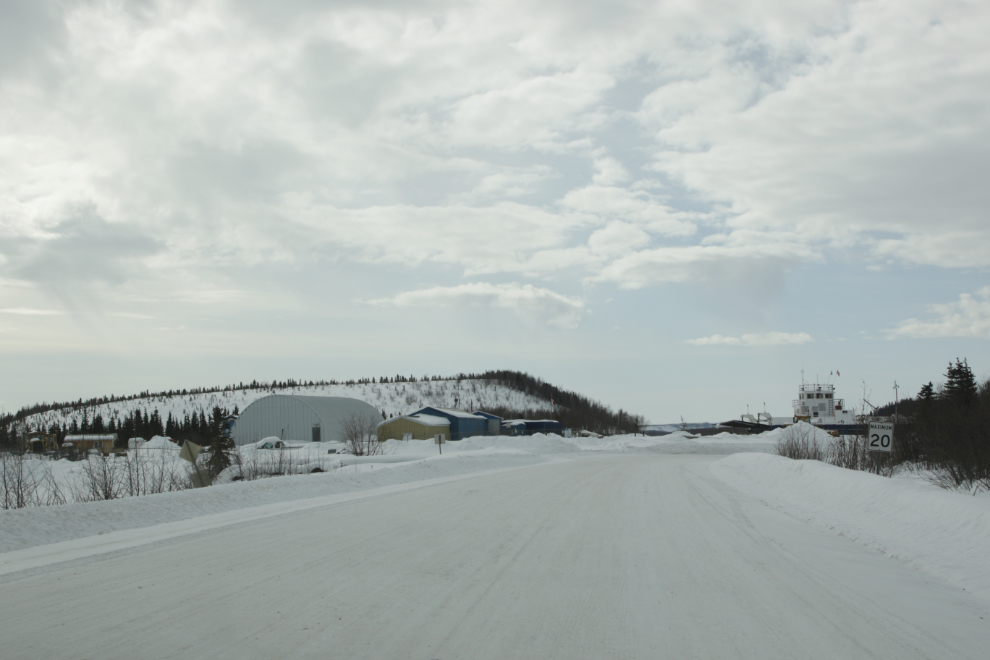
The ferry Abraham Francis. On average she starts operating May 30th and stops for the season November 8th.
The Peel River Ice Crossing. The 20-year average opening date of this crossing is November 17th, and the average closing date is May 6th.
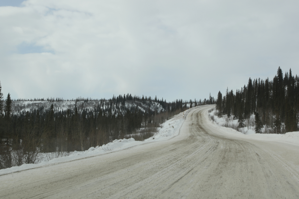
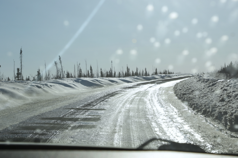
From the Peel River, the highway soon starts climbing into the foothills of the Richardson Mountains. It was now 1:25 – yes, just 20 minutes from Fort McPherson.
I’ve processed the next 3 photos, shot as we were crossing over a broad flattened ridge, as HDR images to bring out the distant mountains. They were shot at 1:37, 1:41, and 1:44.
I’m using the next photo as the cover image on my Facebook page. I posted it with the comment “This photo makes me wish you could all experience that place, on a day just like that. And it makes me feel extremely grateful that I did.”
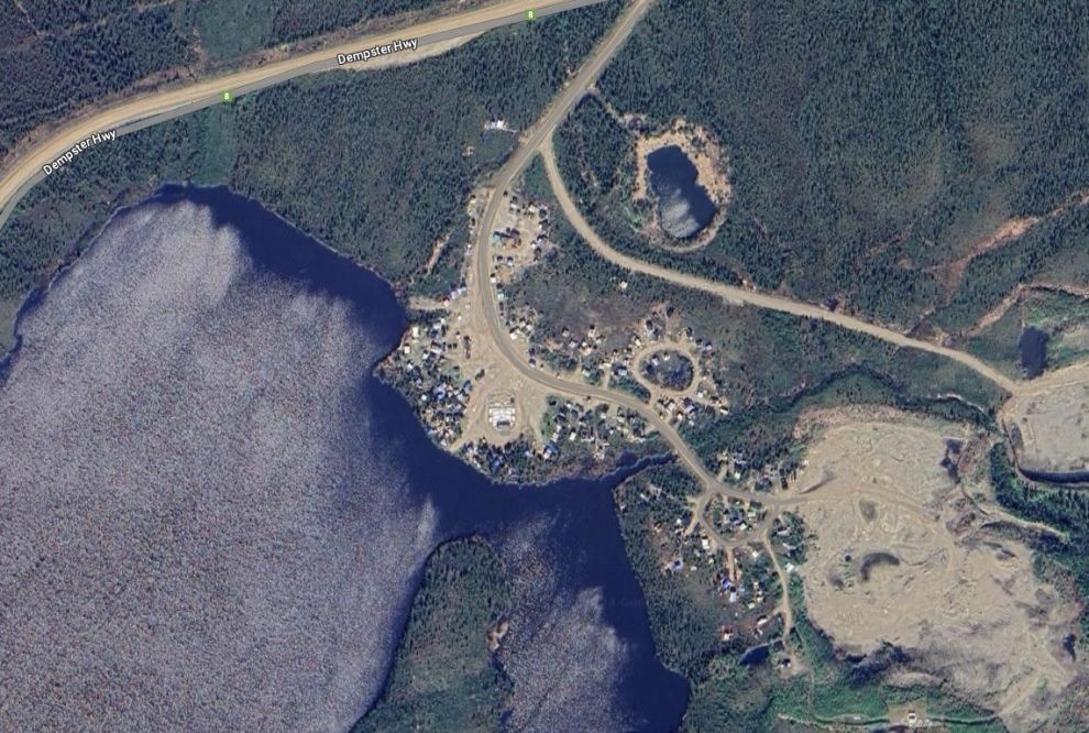
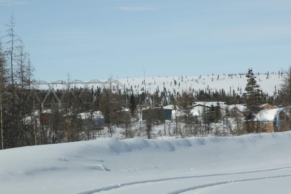
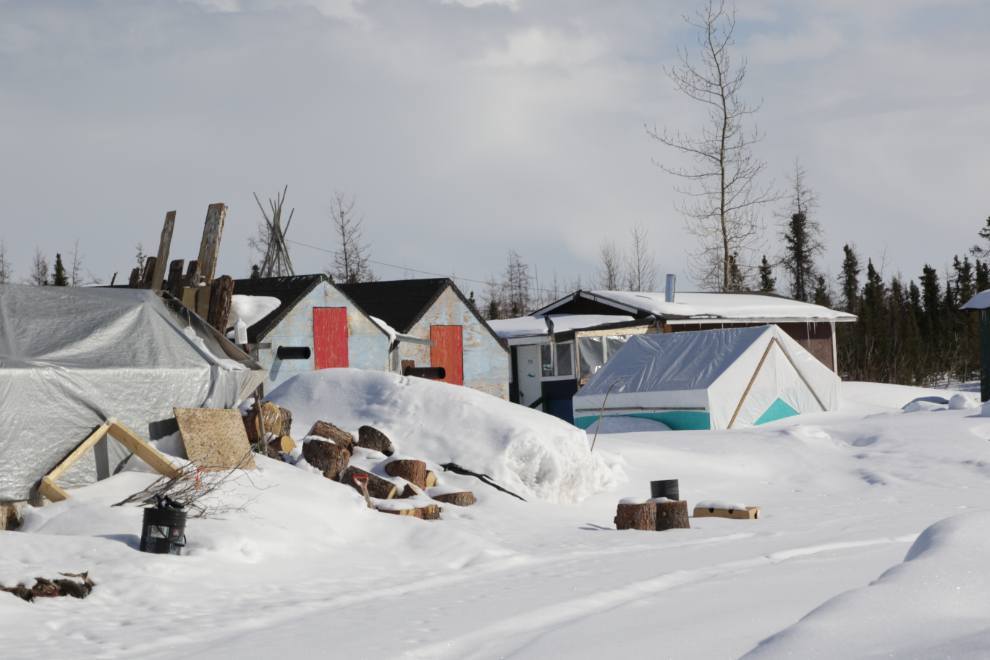
I knew Midway Lake as the site of the annual Midway Lake Music Festival – 2024 is the 37th year – but it’s much more now. It’s a virtual city, though a city of casual-use cabins of many types – I would guess about 150 of them.
The frame of the performance tent can be seen in the background of the next photo.
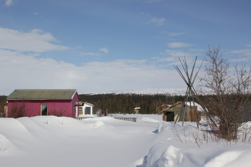
Looking north across Midway Lake with the city on the far side, and the highway in the background.
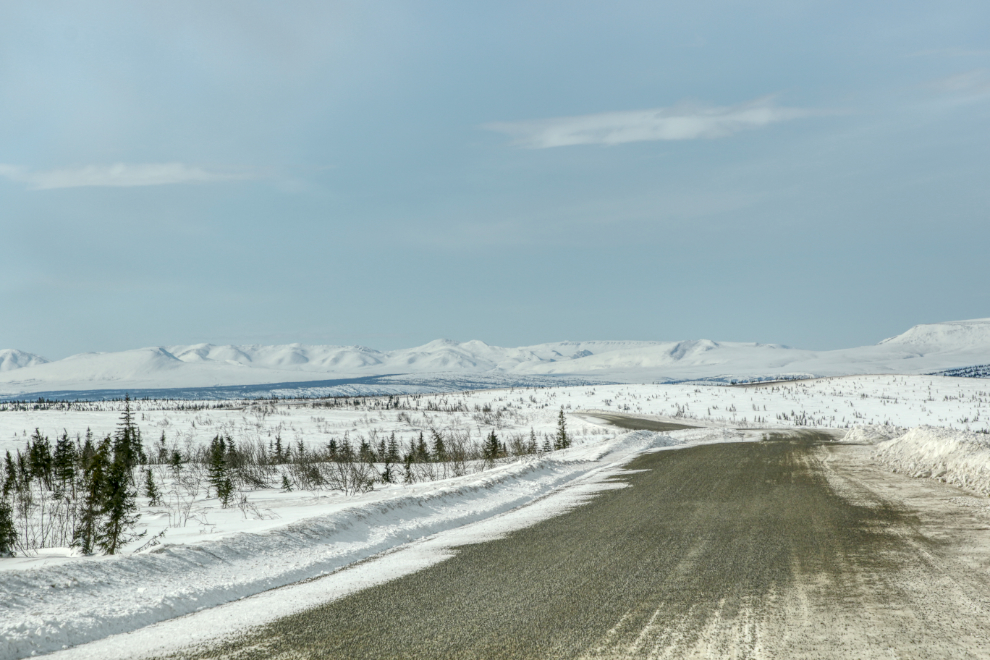
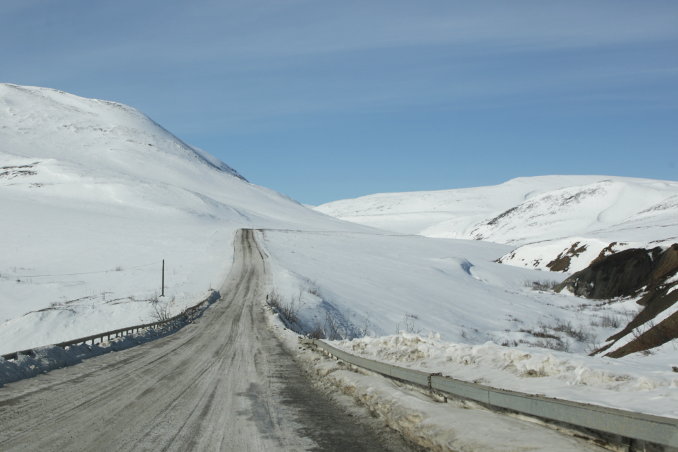
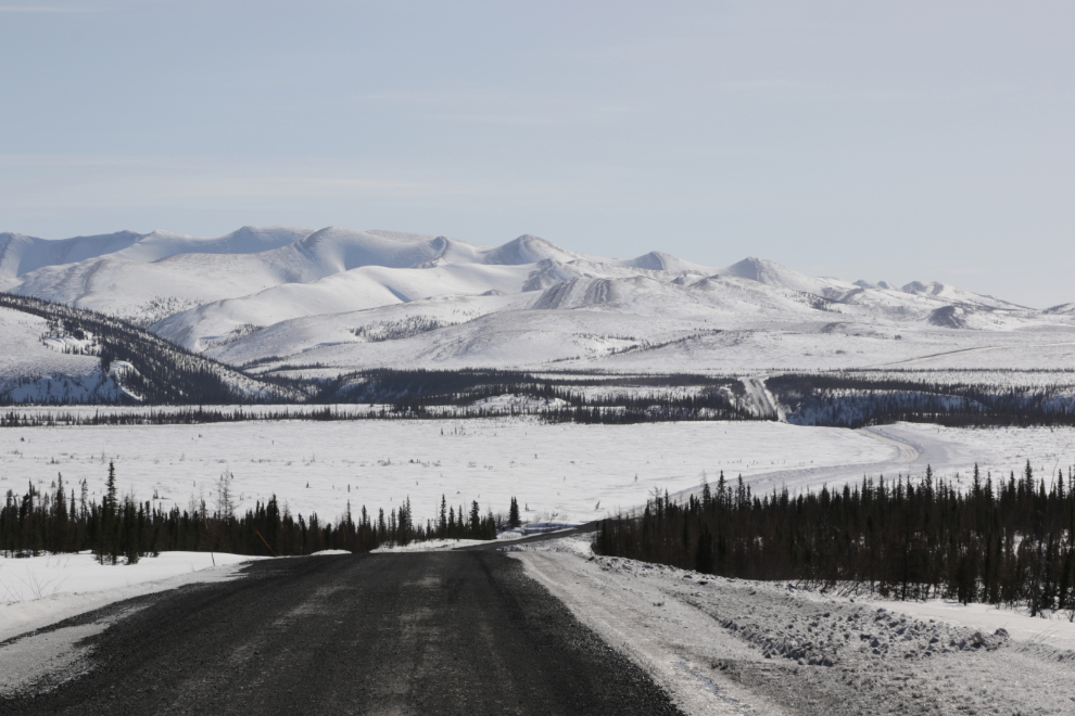
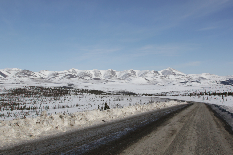
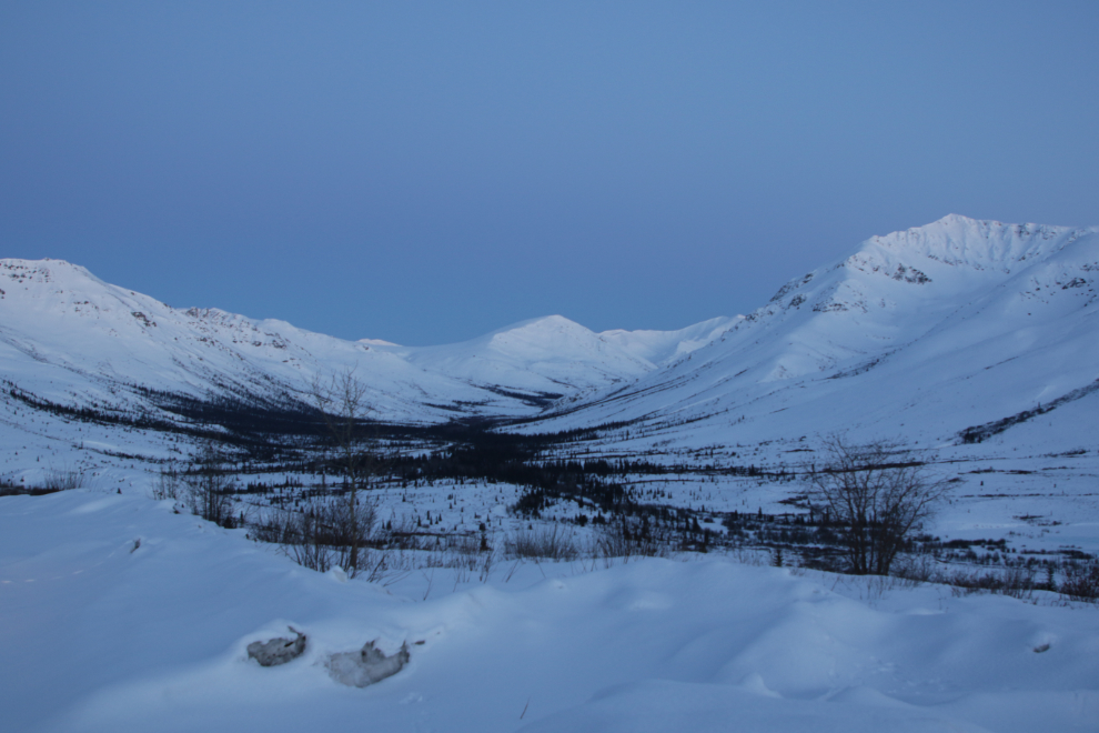
At 2:12 we were 35 km from the Yukon border, starting one of the most dramatic sections of the highway, about 40 km long.
At about this spot in 1994 or so, my tour group and I got to experience fairly heavy snow – on August the 4th! We carried chains year-round in a tool bay of the busses, and I thought seriously about putting them on (but didn’t).
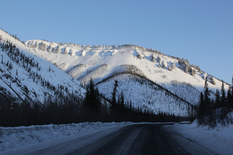
A unique feature is this short, steep, and winding canyon, with slopes of small black rocks. The Fall colours here in August are amazing.
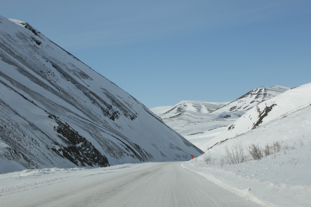
We didn’t make very good time through this section, but I have a lot of photos. Conditions for both driving and photography were 10/10 perfect.
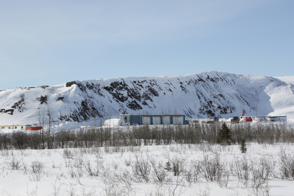
Passing the southernmost NWT Highways camp at 2:37.
One of my first Dempster tours was with a group of scientists and engineers studying snow fence design. One fellow from a Rocky Mountain state had a PhD in snow fence design (!) and had nothing complimentary to say about any of ours.
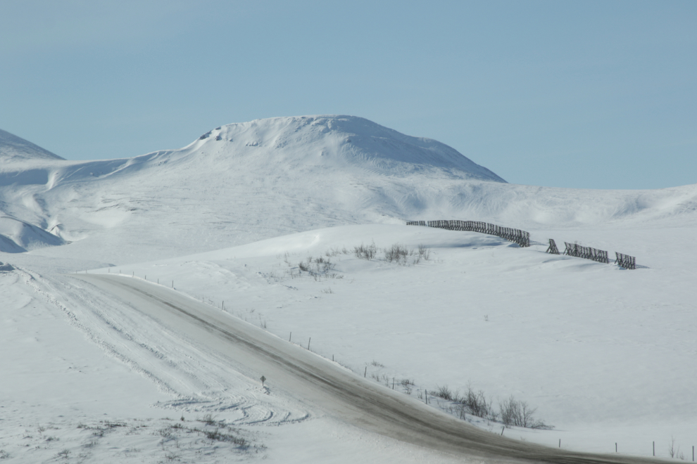
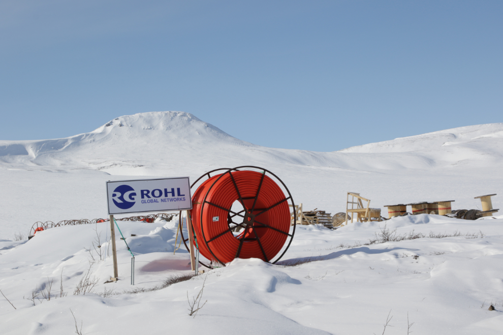
An 800-kilometre-long fibre optic cable is being laid along the Dempster Highway from Dawson City to Inuvik. In Inuvik, the line will connect to the existing Mackenzie Valley Fibre Link, completing a 4,000-kilometre network that will provide communities with a backup line in the event of a service disruption. The line is being paid for by the Government of Yukon and will be operated by NorthwesTel.
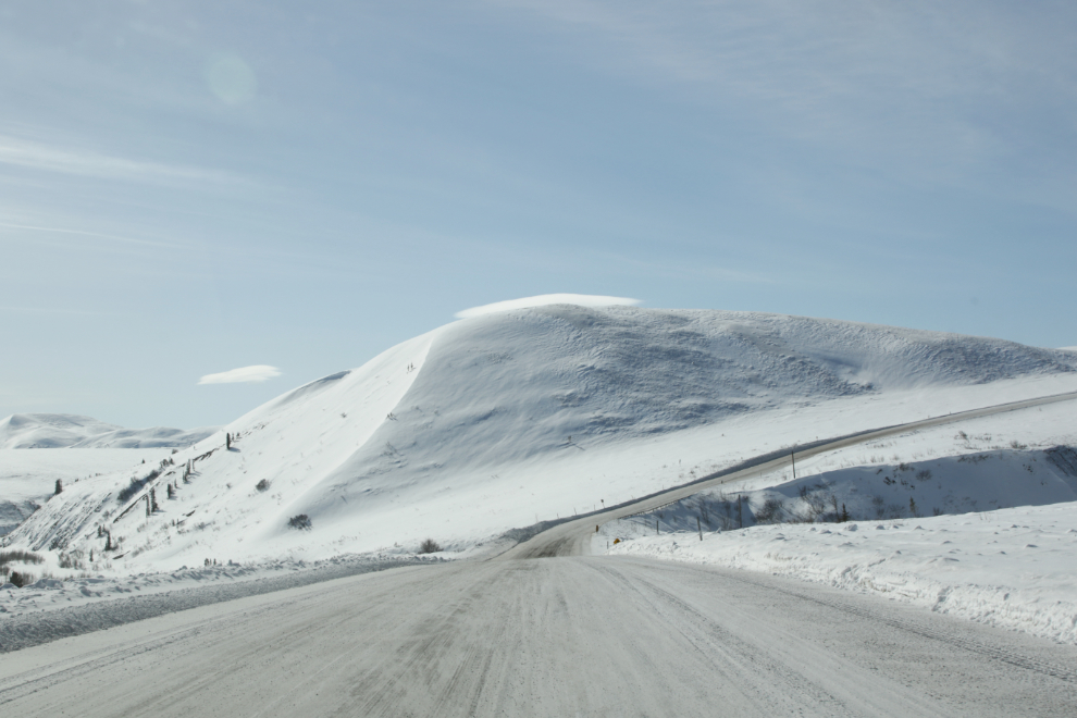
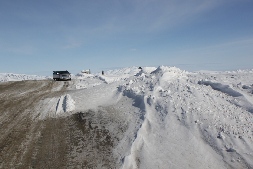
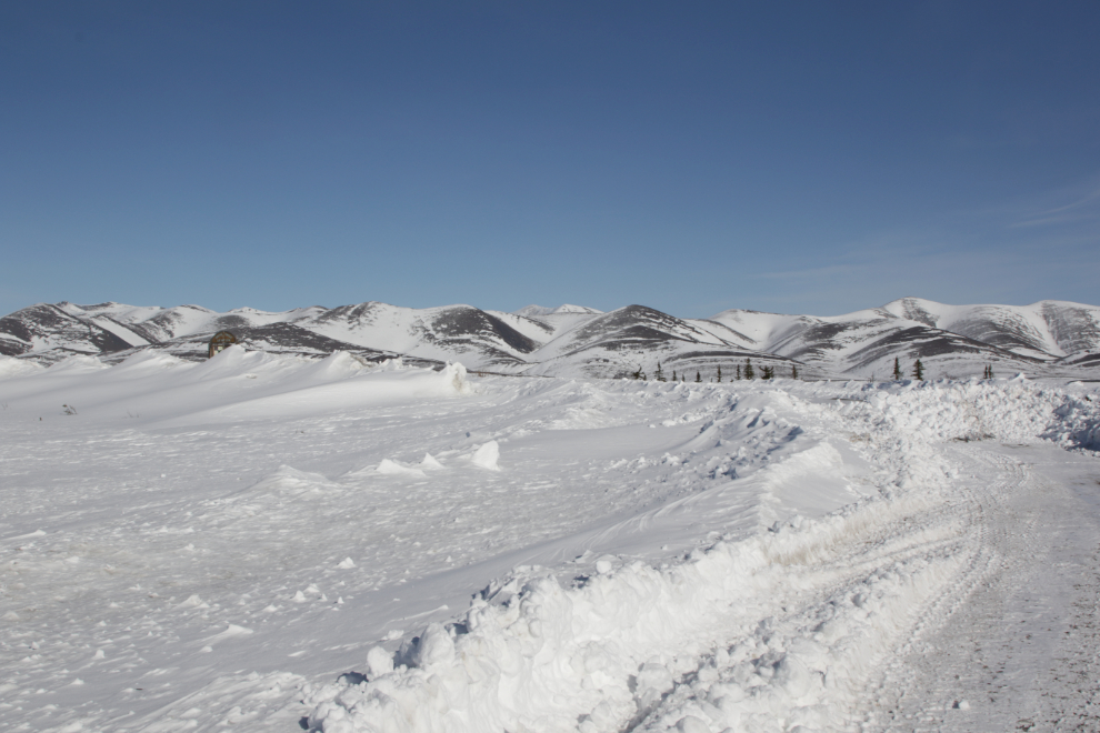
Looking back to the north, one of the snow drifts that were probably responsible for the highway closure the day before can be seen to the left. The upper side is over 20 feet deep.
Some scenes, and photos thereof, simply leave me speechless…
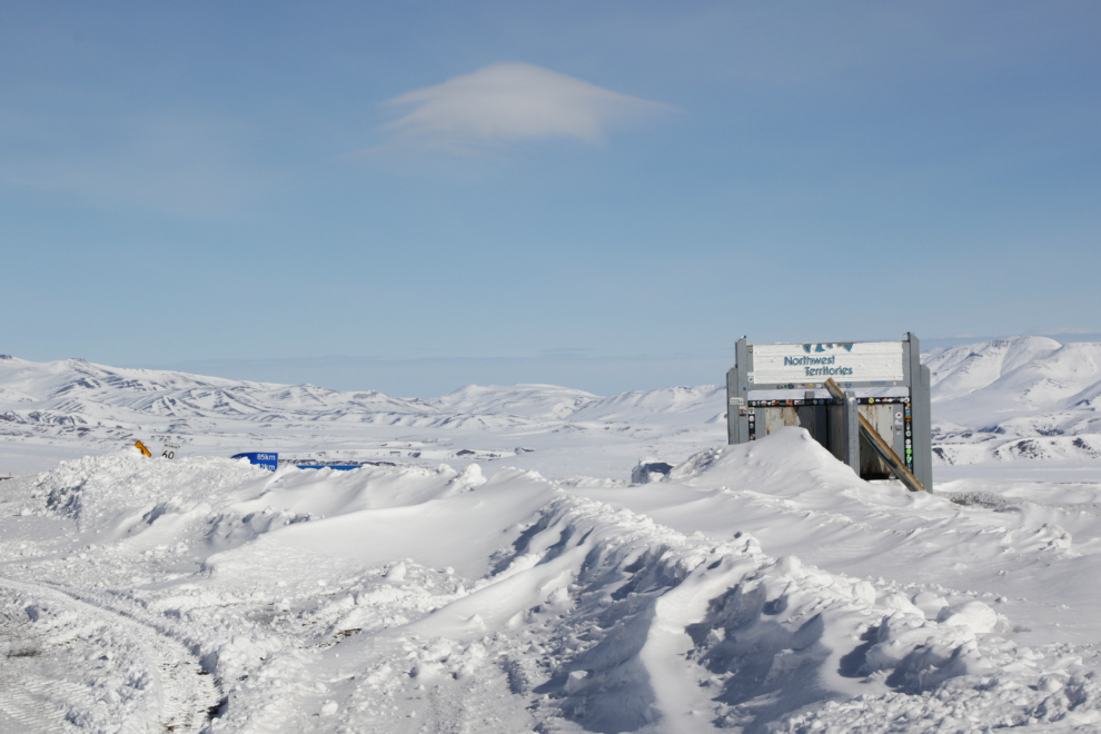
The view to the north at the border. We gained an hour crossing into the Yukon, so it was now 1:58.
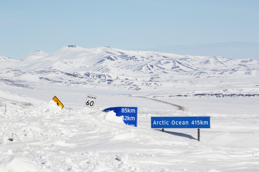
It seems a bit odd that the sign says “Arctic Ocean” instead of “Tuktoyaktuk,” but I suppose even highway signs can be directed by marketing.
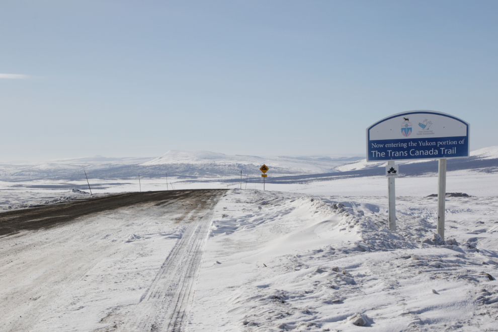
“Now entering the Yukon portion of The Trans Canada Trail.” I wonder how many people experience this part of the trail, a section of which passes within a block of my home.
Good-bye, Northwest Territories! I’ll be back.
I probably have more photos shot from this spot, about a kilometer into the Yukon, than any other on the Dempster.

Another highway-closing snow drift, very recently cleared.
The Rock Creek Campground is in that valley ahead, seen at 2:32.
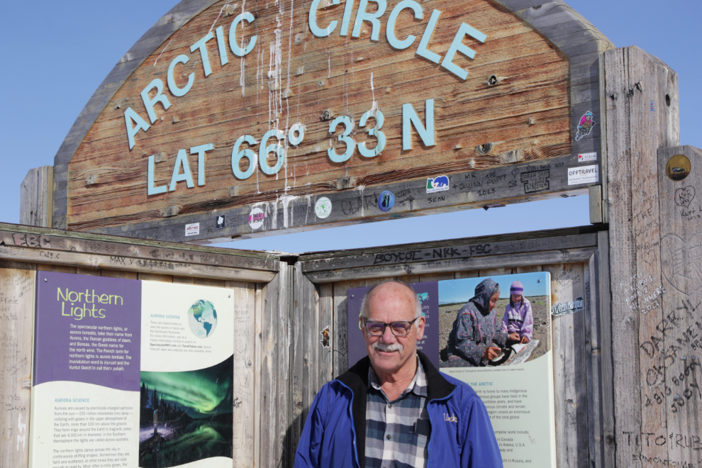
A couple of minutes before 3:00, we reached the Arctic Circle. The large parking lot was drifted in, but Highways had cut a place for one vehicle to park so people could visit the monument, which can be seen in the distance, over towards the centre left.
The Arctic Circle, at 66° 33′ North Latitude.
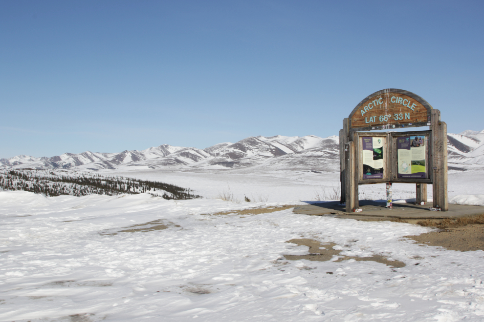
Welcome to the Arctic!
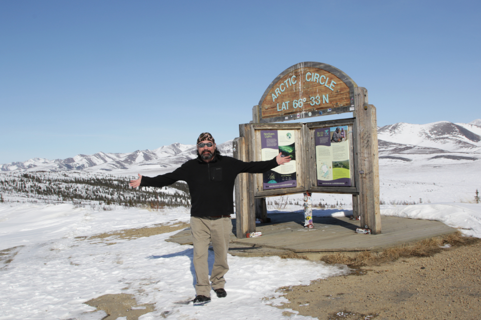
Murray in the Arctic 🙂
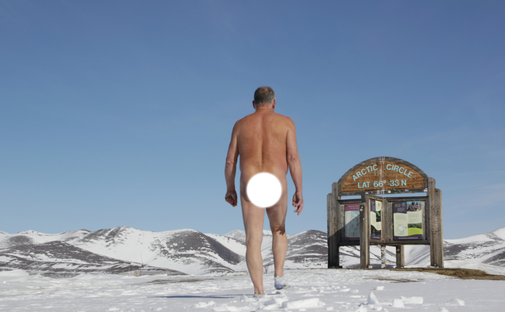
When Tyson went back to the car to get something to eat, conditions became perfect for a naturist walk. I don’t think I’ve ever seen a good description of naturism, but it basically allows you to connect with Nature in the purest way – it’s good for your head and good for your body. Experiencing it is much better than having it explained. Nobody who has ever joined me for a nude hike has ever wanted to get their clothes on until absolutely necessary 🙂
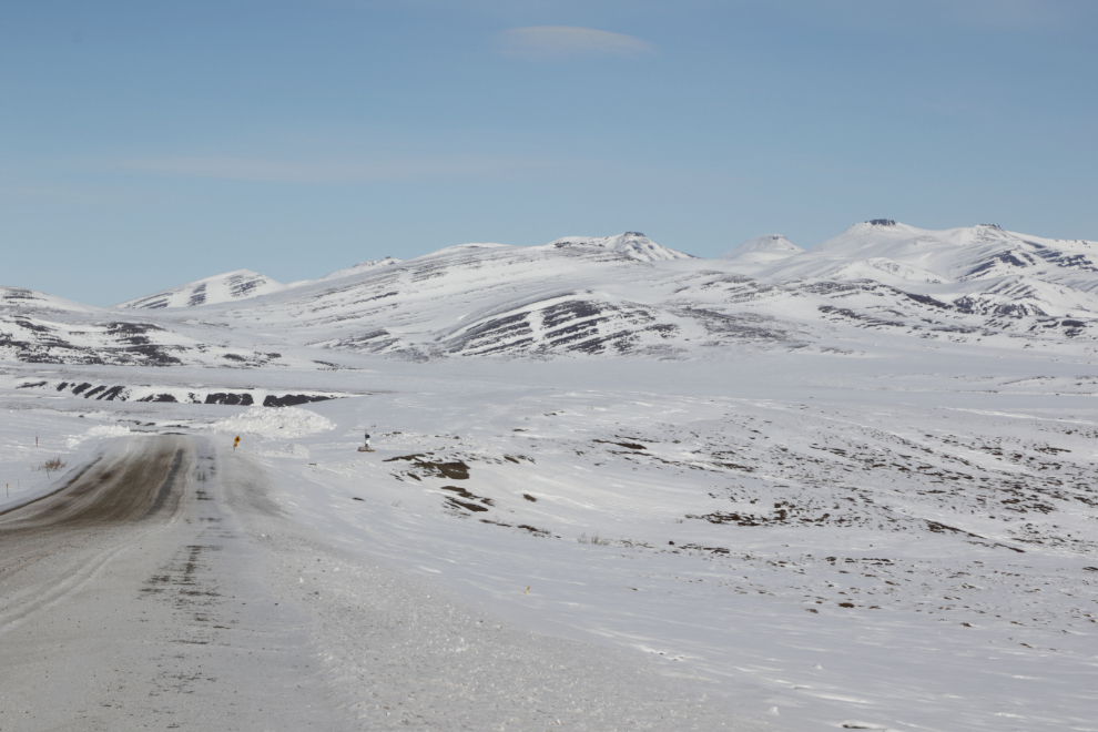
Southbound again, at 3:43.
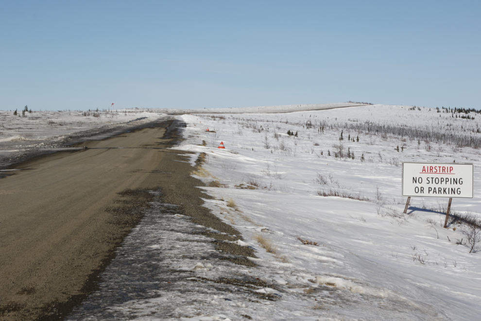
The highway widens to become an airstrip 20 km from Eagle Plains Lodge. The official runway, at an elevation of 721 m / 2,365 ft, is 762 m / 2,500 ft long.
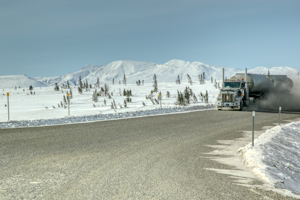
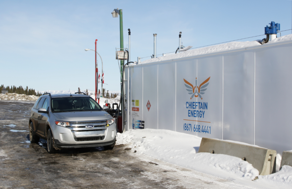
We had a heck of a time getting fuel at Eagle Plains. We finally figured out that these pumps no longer work (or didn’t work for us, at least).
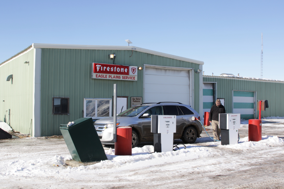
Moving over to the cardlock, we couldn’t get it to work either! I couldn’t find anyone anywhere in the lodge to assist, and two other people tried to fuel with no luck. Finally a Conservation Officer Tyson met in the lodge and somehow convinced it to take $100 from us. That whole process took an hour.
I dealt with some of my frustration by taking pictures. This is the view to the east, looking across the highway. In 1985 we arrived over Eagle Plains at dinner time, and I landed my Cessna on the highway here (waiting for a Volkswagen campervan to go by and landing behind him) rather than paying $20 to have someone come and get us at the airstrip 🙂
The south-facing side of the sign has been bleached to the point of being barely legible, but the north side is still good.
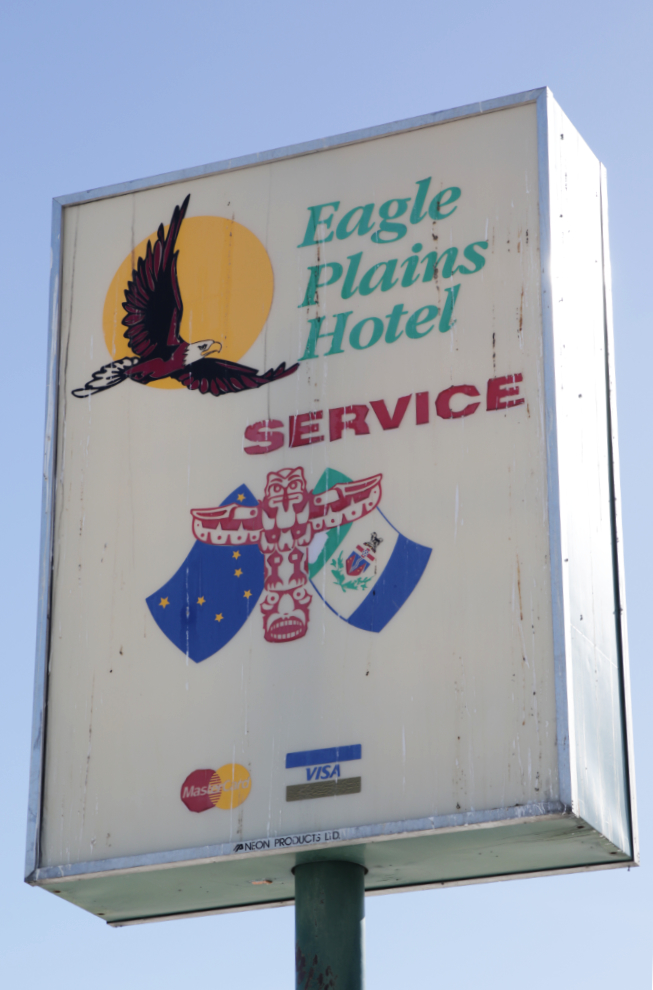
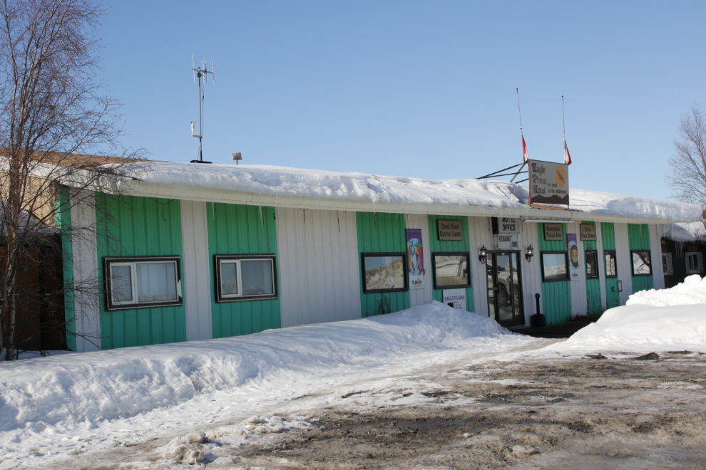
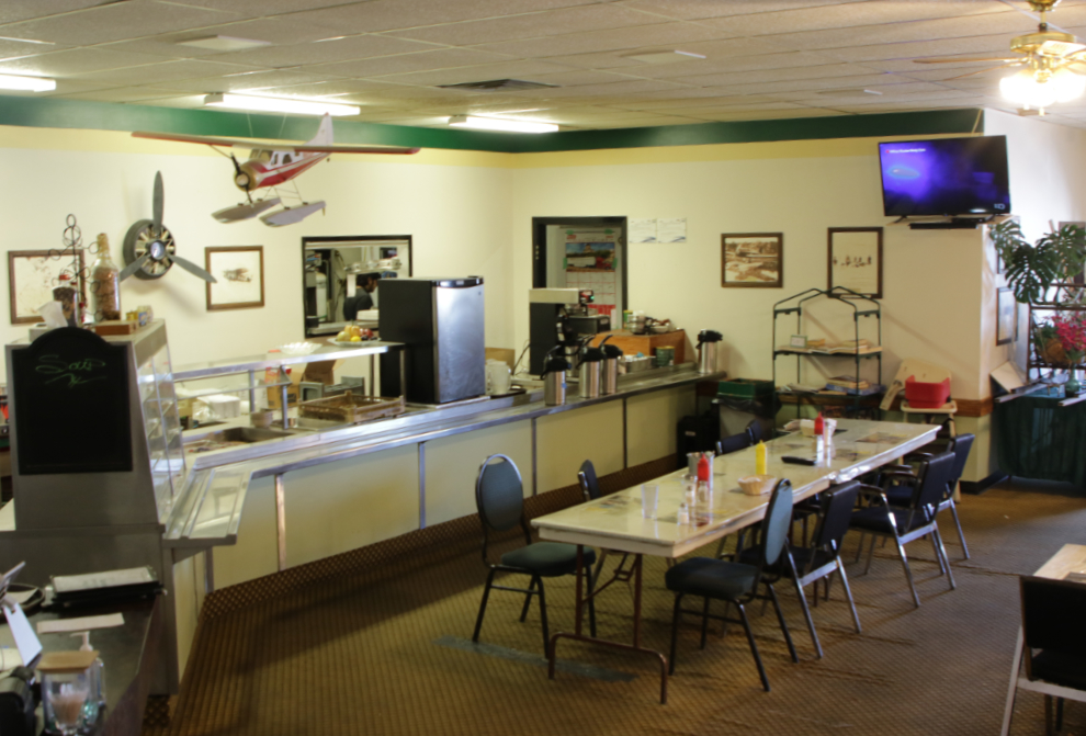
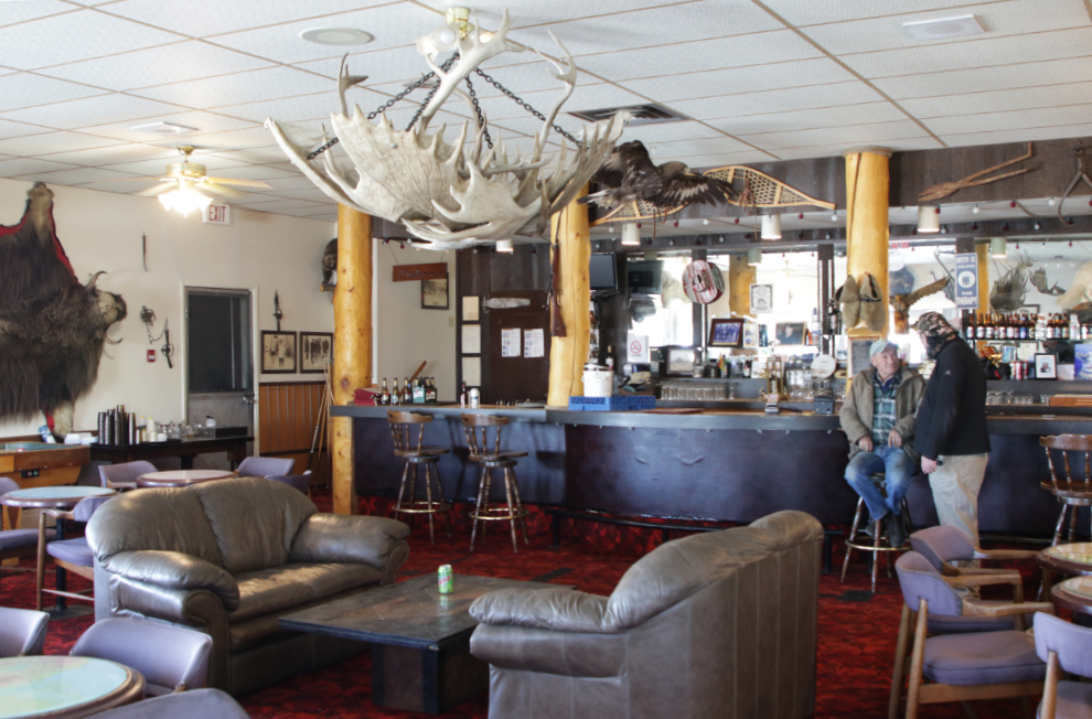
The main lodge building houses 32 guest rooms, a restaurant and lounge. It was built in 1978 on an outcropping of bedrock to avoid problems with permafrost. They were given a 25-year exclusive lease to service the highway, and nobody else ever has arrived to compete.
Tyson was talking to lodge manager manager Stan McNevin in the lounge. When I was a fairly regular visitor in the ’90s Stan was going to be leaving soon, to return to Saskatoon – but it somehow never happened. I enjoyed chatting with Stan about those days and some of our colourful drivers. Yes, I mean you, Paul! 🙂
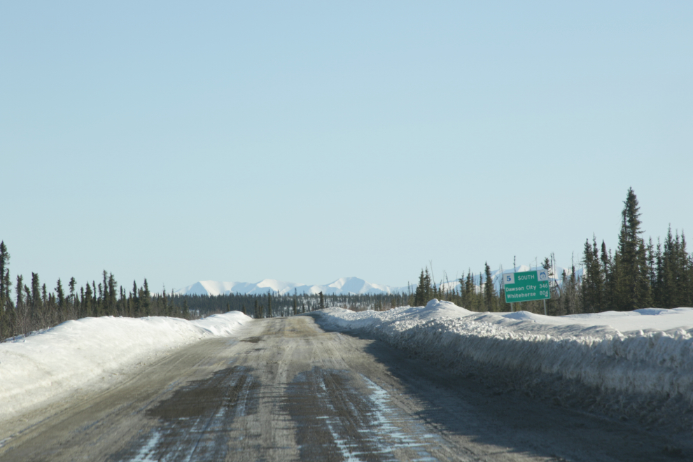
Back on the road finally, at 6:15, with the temperature at -1°C! I sure would have liked to spend the night at Eagle Plains, but I had made a reservation in Dawson and Tyson wanted to meet his wife in Whitehorse the next afternoon. The sun reflecting off all that snow and ice was blinding at times.
A few minutes later, the temperature had climbed to +3°C, and the snow and ice had been joined by slush and mud. And Dawson was still 346 km away – sigh…
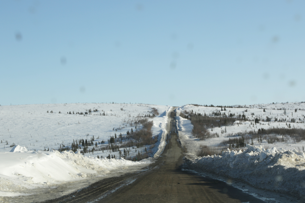
Passing through an area of very bad drifting at 6:50.
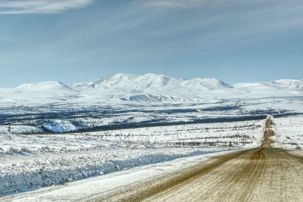
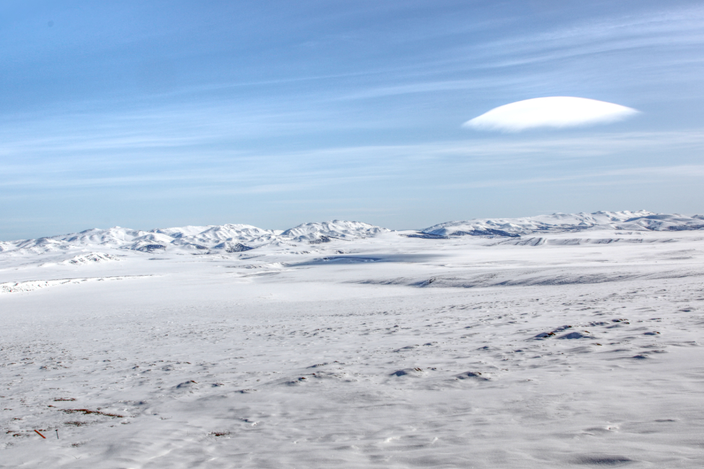
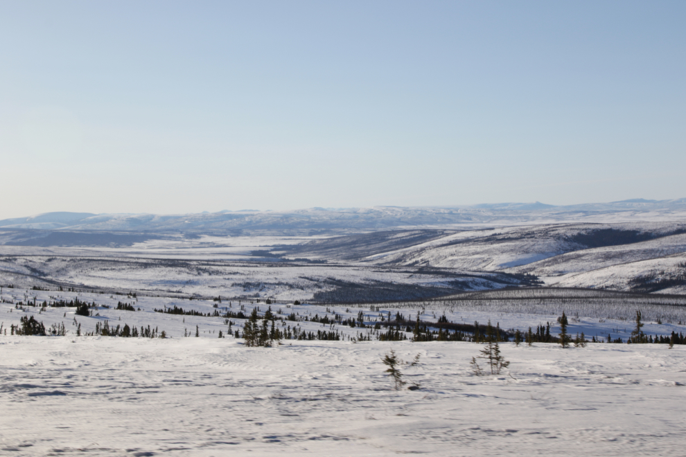
The incredible vastness of the land to the west of the highway at 7:13. And there are no people out there. In today’s world that’s a pretty amazing thought.
Two minutes later we made a stop at Ogilvie Ridge to take in the very different panorama to the east of the highway. This photo was made from three 24mm images.
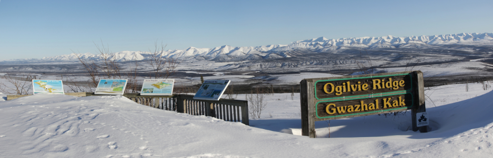
Patterns and textures of the Dempster Highway.
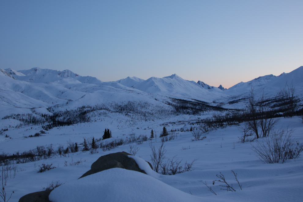
With the end of daylight nearing, I didn’t stop much – the next photo was shot at 8:25 at a spot I just couldn’t resist.
The colours of the alpenglow at about 9:30 were absolutely superb, and I had planned to photograph them but by the time we reached the location I had hoped to shoot them, they were gone.
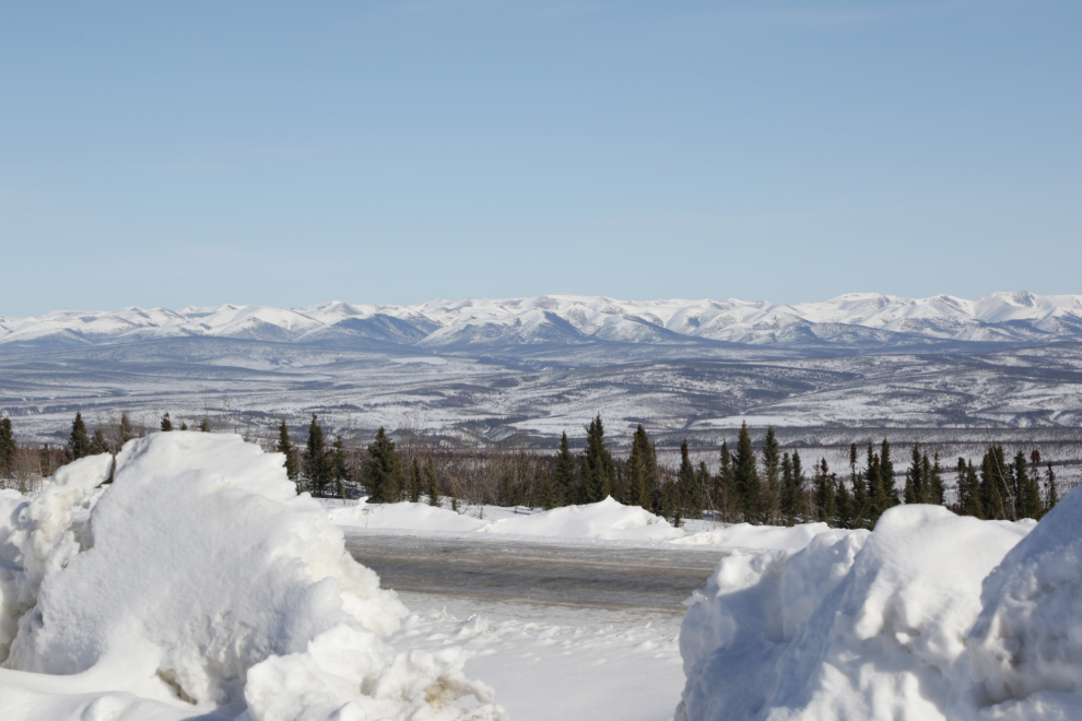
Our final stop before Dawson was at the Tombstone viewpoint, a couple of minutes before 10 pm. Timing is everything – the alpenglow here would have been mind-boggling.
The final photo of the day was shot looking south from the viewpoint, across the Tombstone Mountain Campground and the park interpretive centre.
The Dempster Highway is a very lonely place in the dark, and I didn’t enjoy the final miles to Dawson at all. When we arrived at the Downtown Hotel at 11:30 or so we couldn’t even get a beer, much less any food. But I suppose that didn’t matter – I was asleep within minutes.
Our final day to Whitehorse would be an easy day, and it will be a short blog post 🙂
Some really outstanding images… wow! Gave me a real feel for the vast open spaces that are the norm here… would so love to see and experience in a leisurely camper van manner. And your obvious pleasure in being there, revisiting, resharing… And to cap it off, (saw it coming from the last post) bare butt Murray returns! Your friend’s shared stories even gave me a grin. Wonderful stuff and so good that the entire trip was so obviously a delight for you! Well done!
It was an incredible trip, and in the past few days I’ve confirmed that I’ll be doing another one in late July – a week wandering that area in a bush-equipped Cessna 180! We’ll be going into some very remote places including Hershel Island and a couple of abandoned DEW Line stations along the Arctic coast.
Wow…. what some beautiful pictures…. I’m jealous. 🙂 It looks so desolate…. sure would hate for my car to break down. Probably not a high traffic road. 🙂
There isn’t much traffic, Neal, but in the event of car trouble you can be certain that every vehicle would stop to offer what help they could.
You are on fire Murrster, the photos are like always Skookum, the stroll in the buff at the arctic circle cracked me up and down, remember Harry the Keeper of Arctic Circle, that was always golden when the timing was good, Harry in his period dress sitting in his rocking chair waiting for the coach, recital of Robert Service poems was quite a experience for the people, Stan still at Eagle Plains running the show wowza, did you have the Eagles Claw celebration drink, right up there with the sourtoe cocktail, the colourful 5 percent I thinking by Dick North was a great read, all these memories you have stirred up reminds me how special it was, but not really realizing it at the time of course, thanks for the honourable mention with Stan the Man, really enjoying your and Tysons trip, later gator 🐊
The trip really did light a fire in me, Paul. So many memories came flooding back. Harry Waldron was a gem and it’s to the Yukon Government’s eternal shame that they wouldn’t help him stay as “Keeper of the Arctic Circle”.