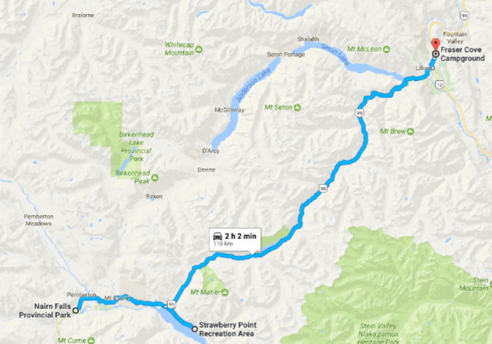
Driving from Pemberton to Lillooet on the Duffey Lake Road
For the past few weeks, my regular readers have been travelling with me through a world of ocean views and big trees. On Day 46 of the trip, June 10th, I crossed over the coastal mountains on the Duffey Lake Road into the dry Interior of British Columbia, to Lillooet.
The drive would have been only 108 km (67 mi) without side-trips, but as is often the case, I put on many more miles than that. Click here to open an interactive version of the map of my basic route in a new window.
The day started wet at Nairn Falls Provincial Park. This is Highway 99 looking towards Pemberton, which is only 3 km away.
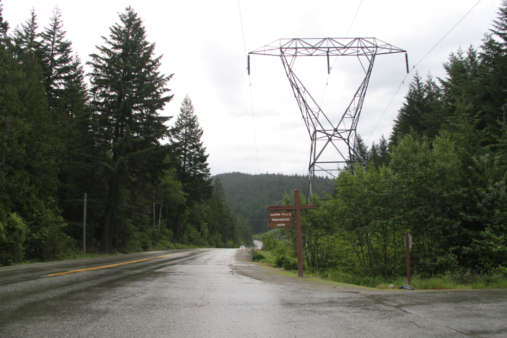
These first 2 photos were shot at 06:30 while the campground gates were still locked. I thought about hiking back to Nairns Falls without the dogs so I could shoot a video, but got lazy…

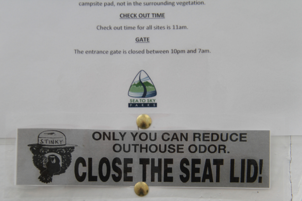
One more shot before leaving the campground – I love “Stinky the Bear” giving lessons in outhouse etiquette!
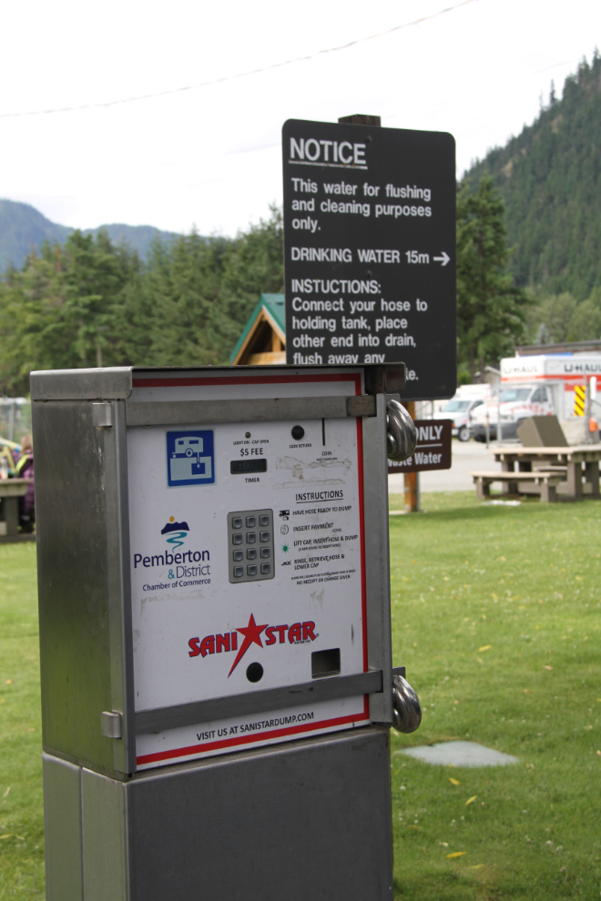
We were in no hurry to leave. After some work on the blog, 3 dog walks, and breakfast, we reached Pemberton at 10:30, under slowly-clearing skies. It had been a week or so since I dumped my tanks, and there’s a sani-dump at the Pemberton Visitor Information Centre.
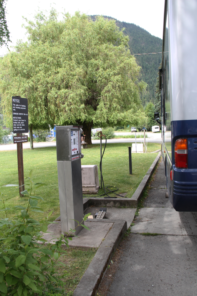
I had never seen a coin-operated sani-dump before. What a great concept, and at $5 per, I’ll bet that it generates a very substantial amount of revenue. The gas station at the Whitehorse Walmart would make a small fortune from one.
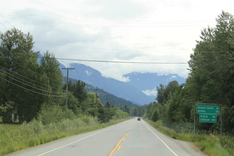
At 10:50, heading east down the Lillooet River valley on BC Highwy 99. I never have understood why the Lillooet River and Lake are so far away from Lillooet – it should be the Pemberton River and Lake so we don’t confuse visitors 🙂
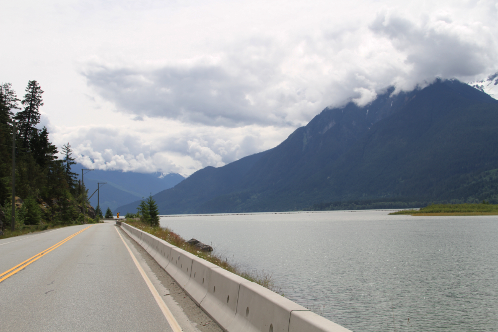
Lillooet Lake. Just a few hundred meters/yards ahead, the highway starts a very steep and long ascent out of the valley.
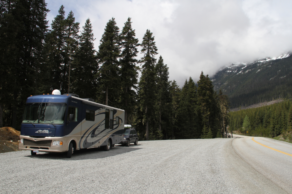
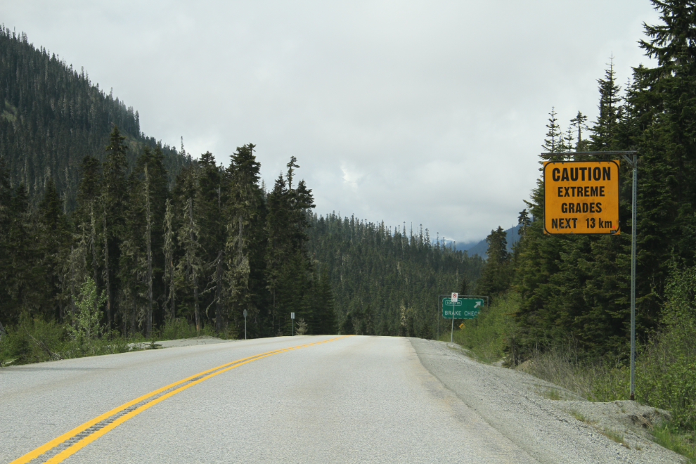
It’s impossible to get photos of the Duffey Lake Road section of Hwy 99 from the motorhome. The road is steep, narrow, and twisting, and there are no pulloffs. So I can both have a record and show you what it’s like, I pulled over at this large pulloff at the first summit, which is 16.8 km from the start of the climb at Lillooet Lake. I unhooked the Tracker, and went back down to Lillooet Lake again.
Heading back down: “Caution, extreme grades next 13 km”. This is a road that every driver needs to take seriously, especially those driving oversize vehicles.
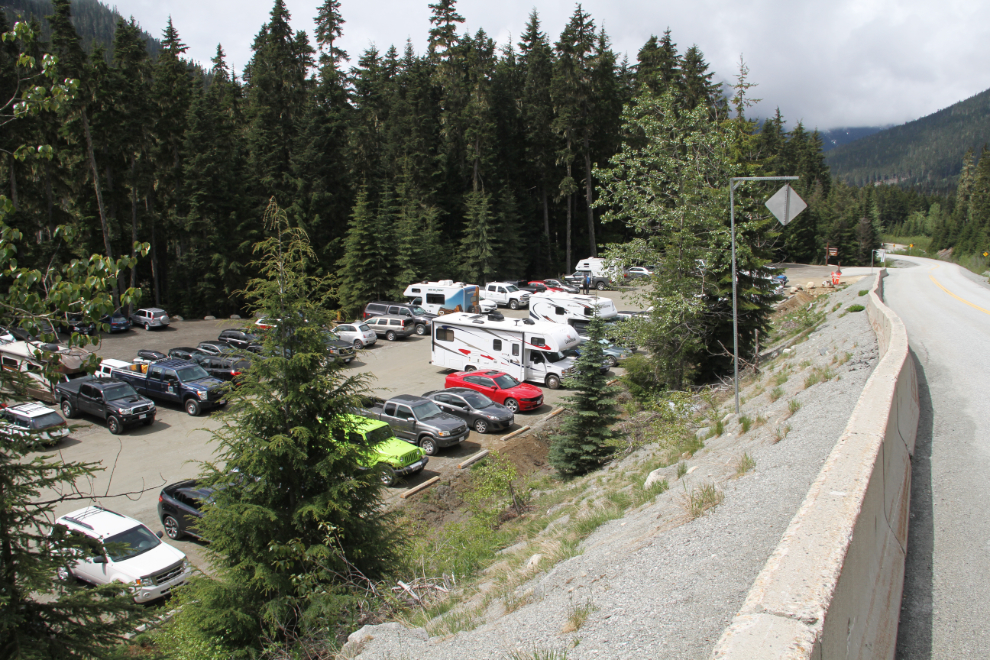
The parking lot at Joffre Lakes Provincial Park was completely full – maybe even over-full. That really surprised me. It’s spectacular country in the summer, but through the ragged clouds it was easy to see that Father Winter was still in charge of that backcountry.
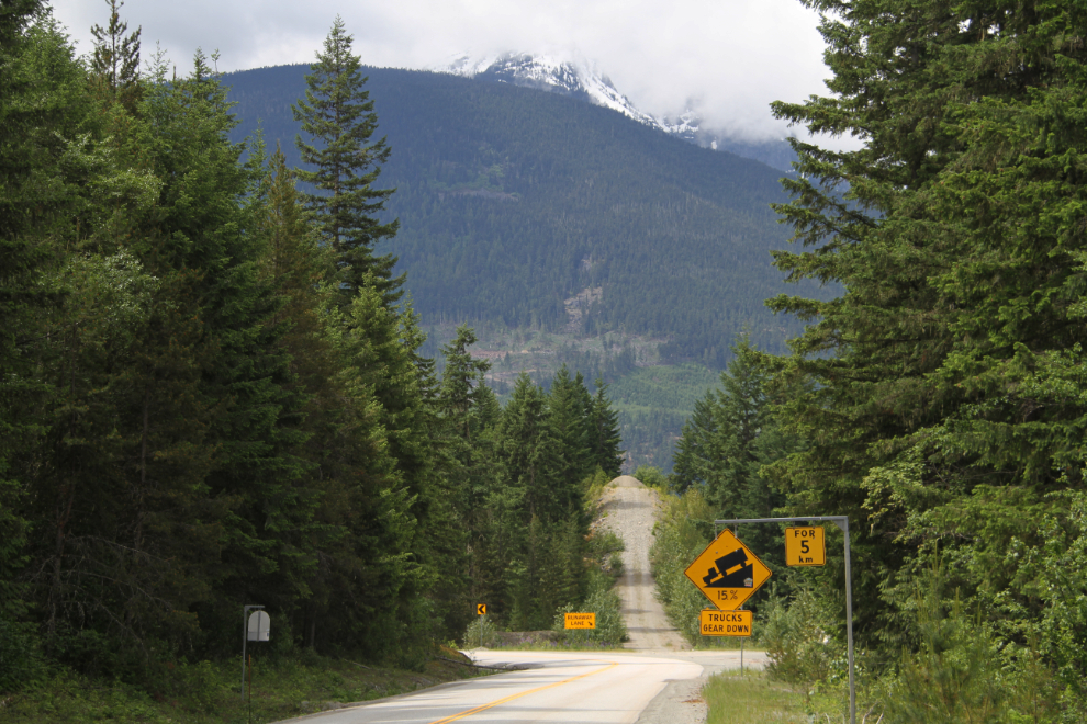
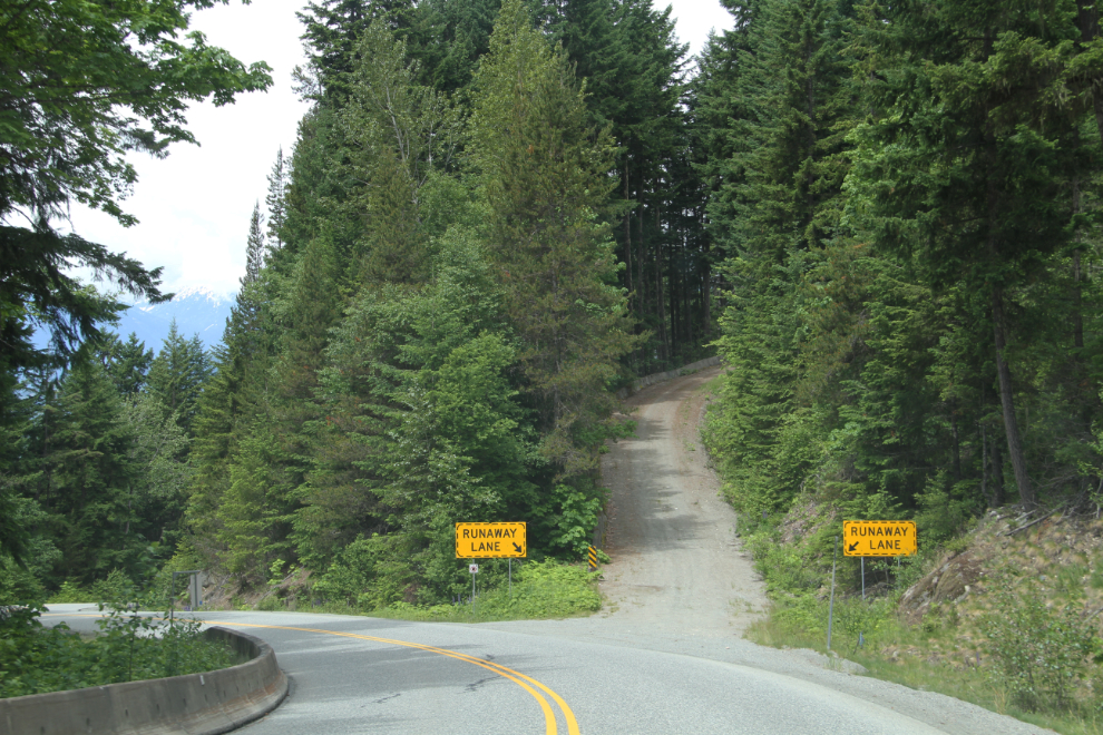
Now there’s a well-warned corner! The signs say that there’s a 15% grade for 5 km, and if you’re not ready for that, a runaway lane is directly ahead. When I first started driving the Duffey Lake Road in about 1967, it was just a series of logging roads.
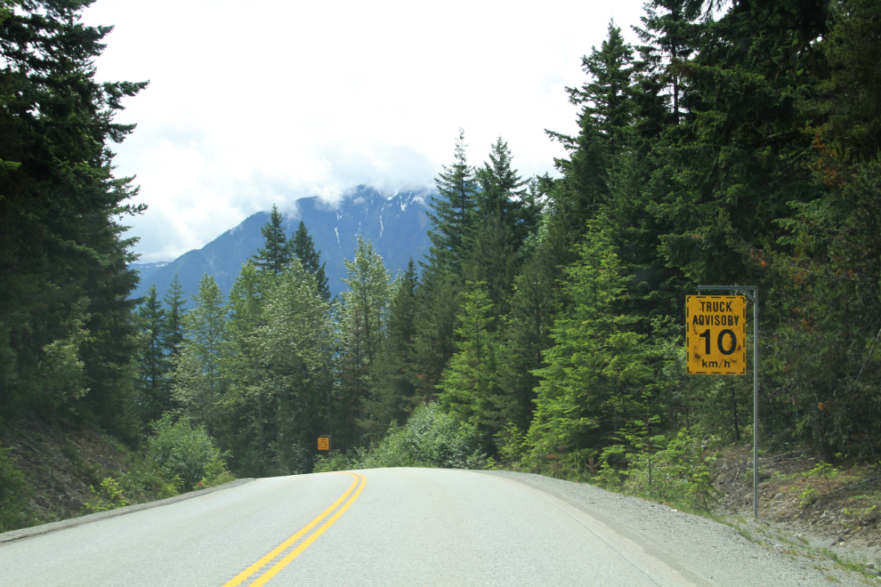
“Truck advisory – 10 km/h” on the switchback corner ahead.
Runaway lanes are plentiful.
As I started up the hill again, I couldn’t resist taking a look at what is now called the In-SHUCK-ch Forest Service Road (FSR). What changes had 45 years brought to it.
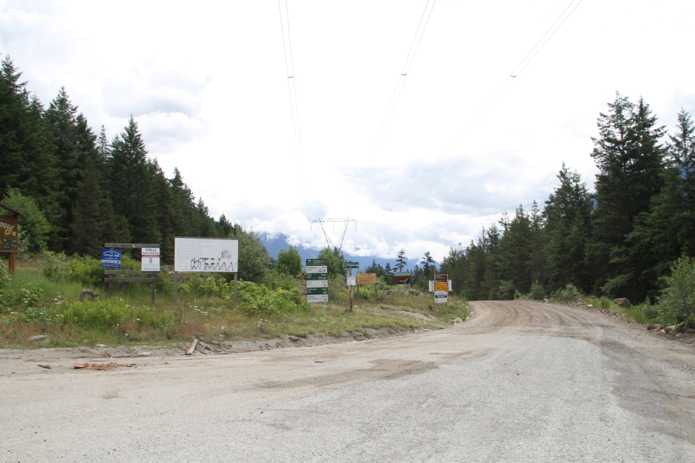
The changes are mostly minor, some better bridges and it’s smoother, but the FSR character remains.
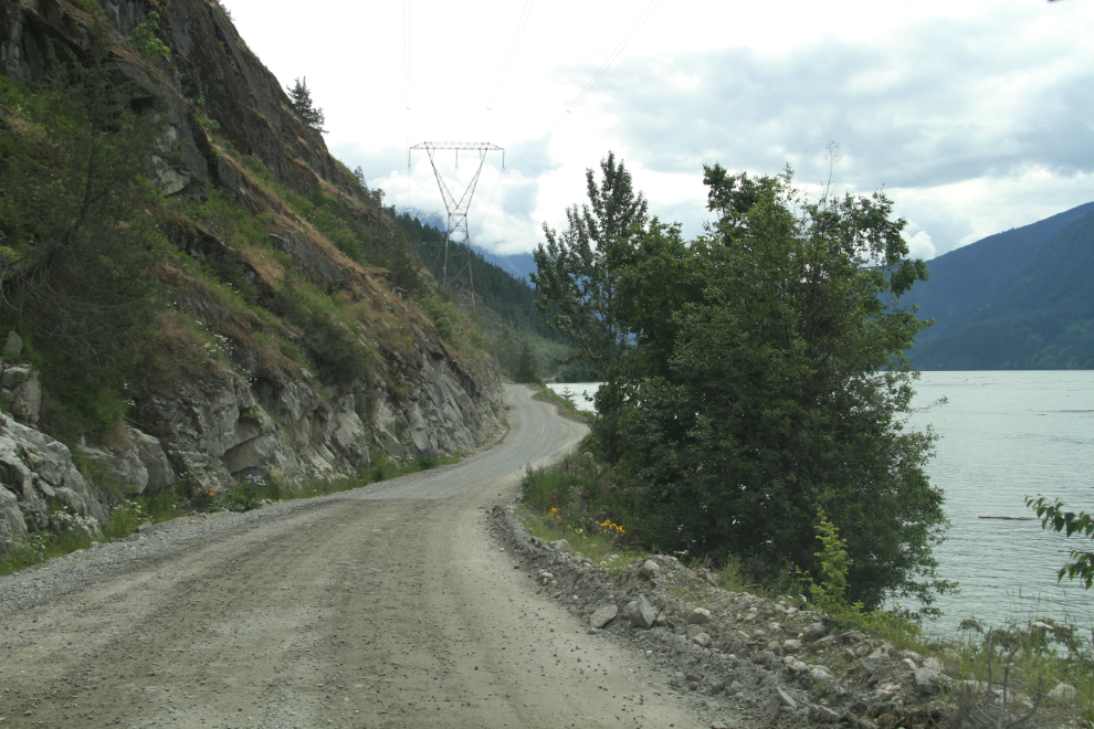
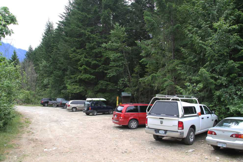
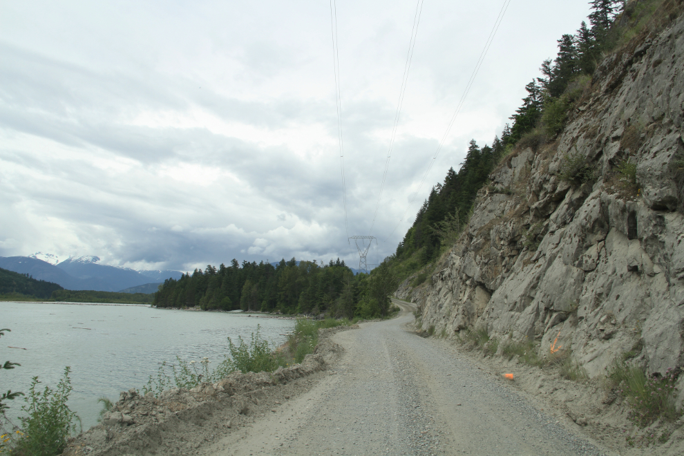
The biggest change is the presence of BC Recreation Sites (once BC Forest Service Recreation Sites. This one at Strawberry Point, 6.1 km from the highway, was too busy to even bother checking out. The lake was extremely high, dirty, and full of trees and other debris, so the sometimes-lovely beach that I expect is there, wouldn’t be.
Strawberry Point was as far south as I went on the In-SHUCK-ch FSR. Heading back to the Duffey Lake Road, there are some nice lake views. Some day, the way BC is growing and changing, this may be a paved highway, too 🙁
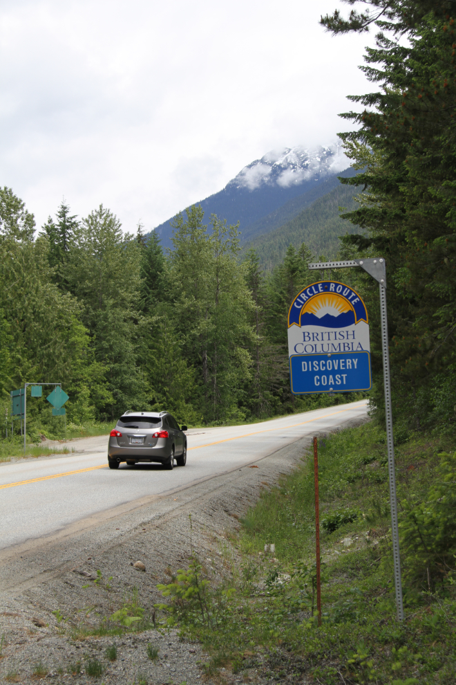
Heading back up the hill. The Duffey Lake Road is part of the Discovery Coast Circle Route. If I get to Bella Coola again, this year, I’d be doing all of the 2,116 km (1,315 mi) this year except for the ferry to Bella Coola (I cringe to think what that would cost with the RV!).
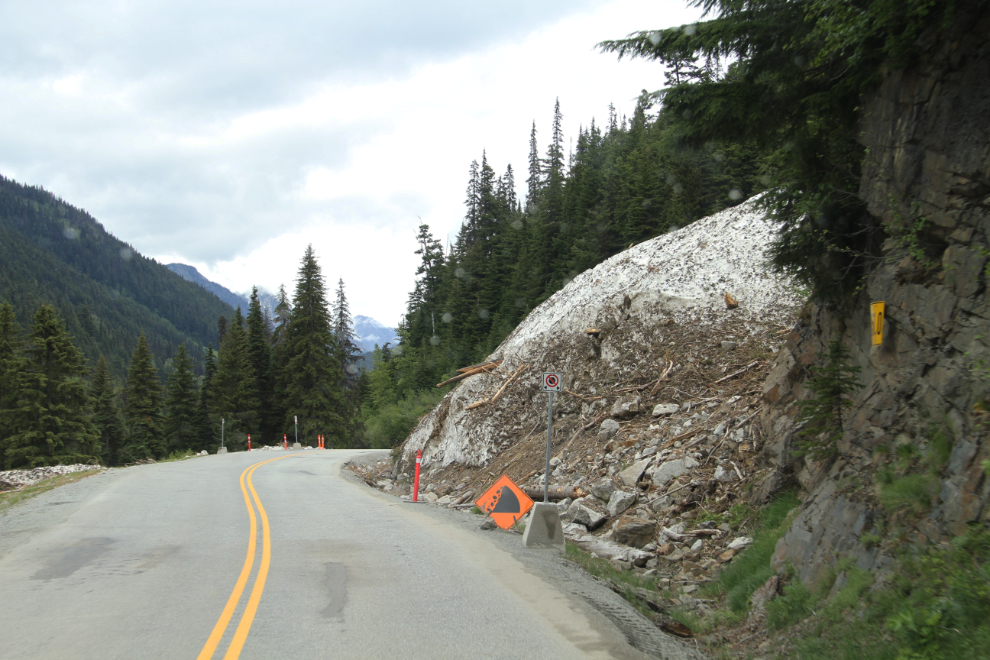
At about 1:00, very pleased with the way the day was going, I hooked the Tracker up to the RV again, and we started down the Duffey Lake Road towards the dry country. Judging by what still remains of what must have been a massive avalanche, this was a bad snow year here, as in much of southwestern BC.
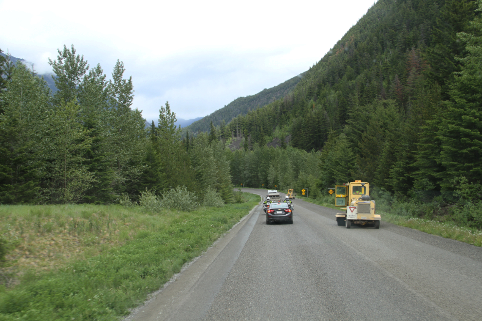
At 1:25, construction ahead. This turned out to be a 25-minute wait for a pilot car.
A lengthy wait and then several miles behind a pilot car to get by a road sweeper. Hmmmm…
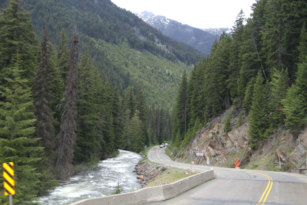
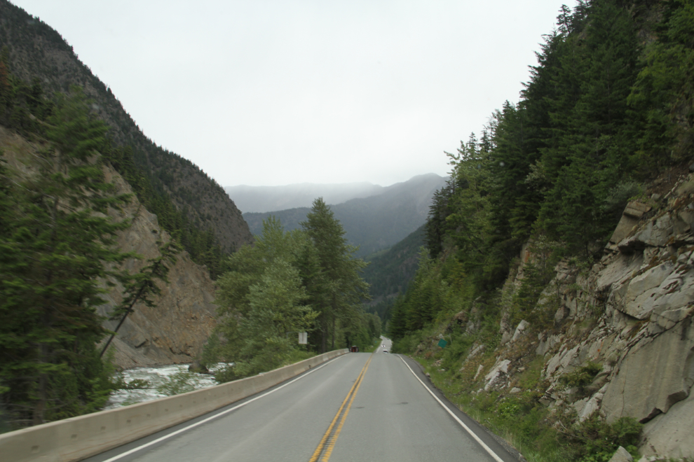
Cayoosh Creek was at full flow and fury – it would take a team of expert kayakers to get down it. I was very surprised (and a little disappointed) to see that both of the one-lane bridges across the creek have been recently replaced (there were still still when I drove the road in April 2014). One more bit of character now relegated to the “History” file.
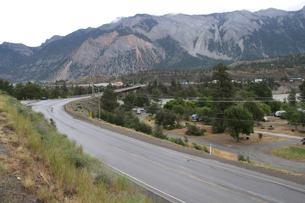
I didn’t have camping spot in mind when I arrived at Lillooet at about 2:30. I first was going to check in at the Cayoosh Creek Campground. When nobody was at the office, I decided to have a look at it first, and didn’t like the general vibe of the place, so went to find another possibility.
When I arrived at the Fraser Cove Campground, the owner met me and said that he had nothing available for a rig my size. Oh well. After chatting with me for a bit, though, he said that he might have a spot, if 15 amp power was okay. No services at all were okay with me. A few minutes later, I had booked 2 nights, and this was my view 🙂
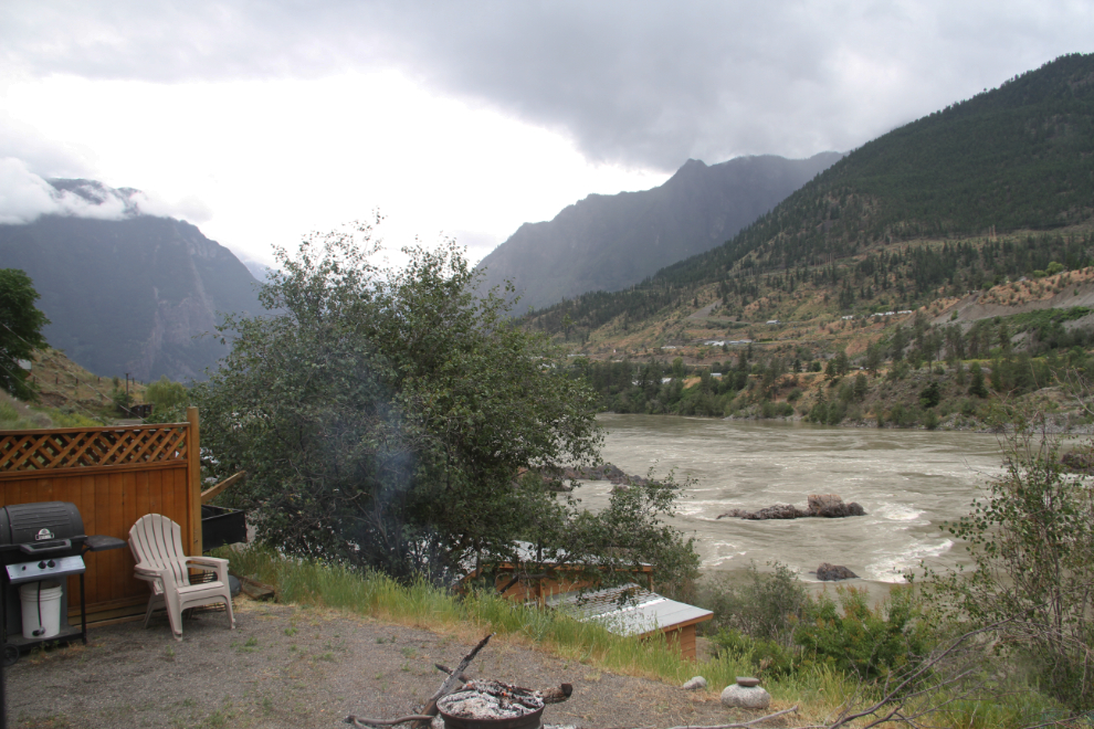
Within a couple of hours, I had booked a third night. I had lots to see and do, and the vibe of this place was wonderful.