Driving from Hinton, Alberta, to Fort St. John, BC
My plan for Wednesday was to drive from Hinton, Alberta, to Fort St. John, British Columbia, via Highways 40, 43 and the Alaska Highway.
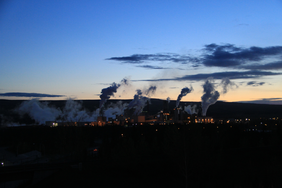
I was away from Hinton a few minutes after 05:00, and stopped briefly to get a photo of the pulp mill. Pulp mill towns used to joke that the awful smell coming from the mills was “the smell of money”, but now there’s almost no odour due to new technology.
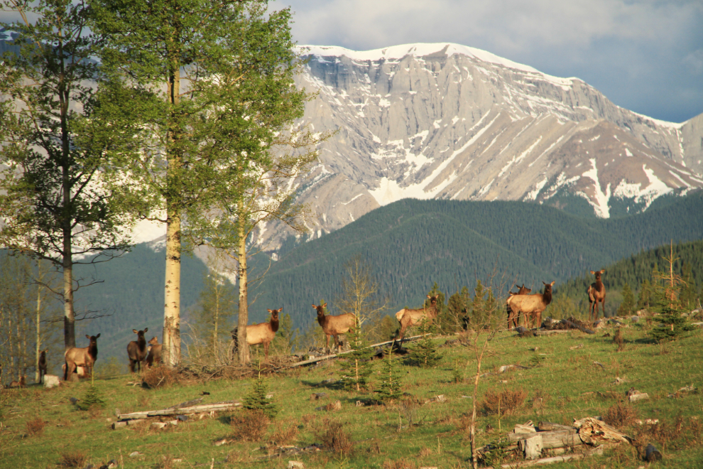
I spotted these elk along Highway 40 at 06:30.
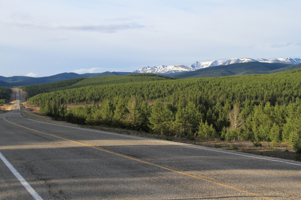
Highway 40 offers a nice variety of scenery with relatively little traffic, but there are some steep grades along the southern section that keep some people with RVs away.
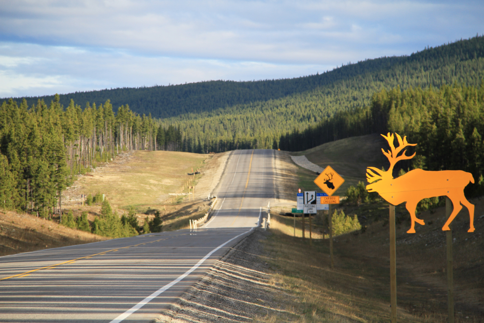
There are lots of signs warning about the possibility of caribou on the highway, but I didn’t see any.
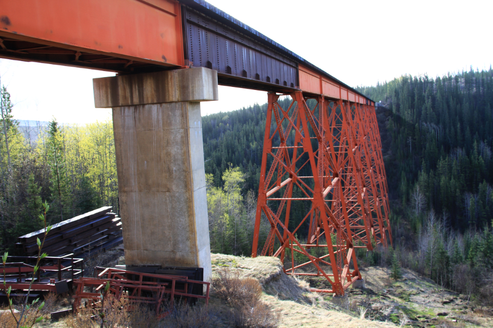
Just south of the community of Grande Cache, I took a little detour to see this impressive bridge on the old Northern Alberta Railway (NAR) line, and the Grande Cache airport.
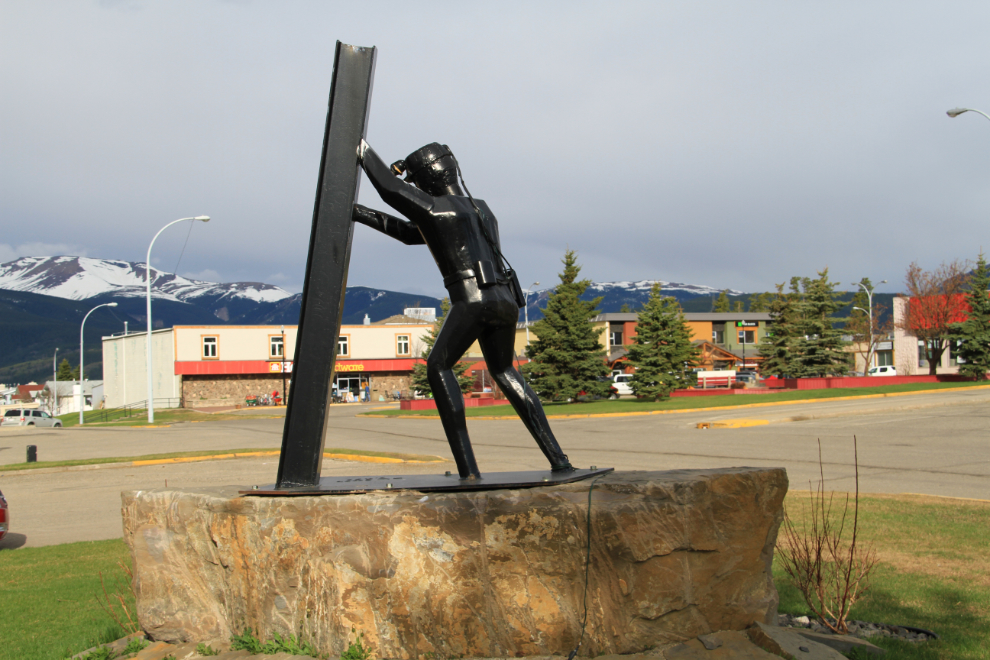
A had a look around Grande Cache, and stopped for a few photos, including some of this miners’ memorial, which has the names of 28 miners killed between 1969 and 1999 in local coal mines.
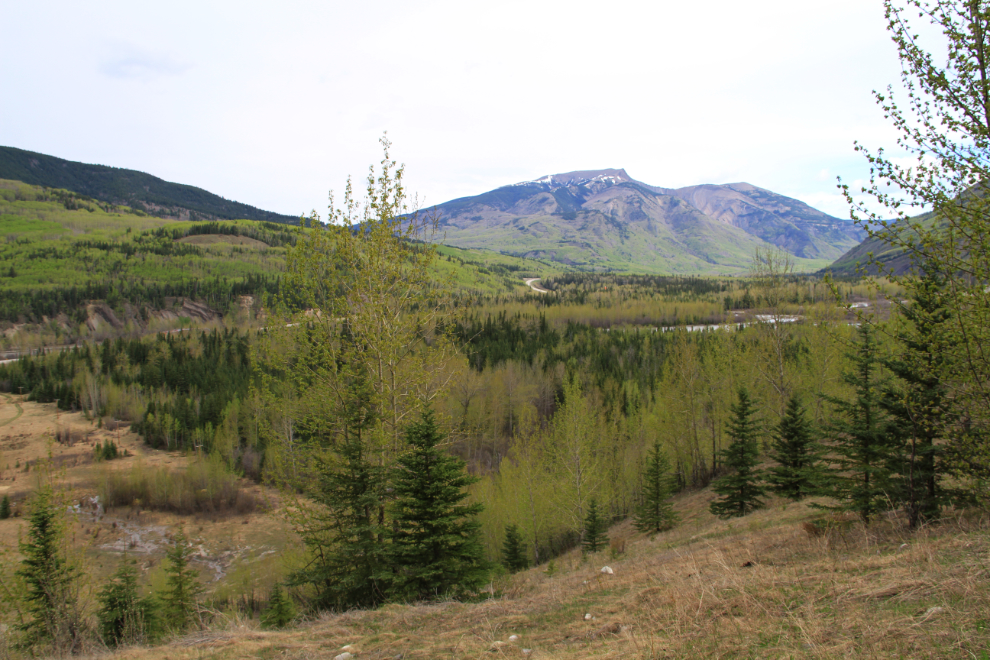
Just north of Grande Cache, I stopped for this broad view of the Smoky River valley.
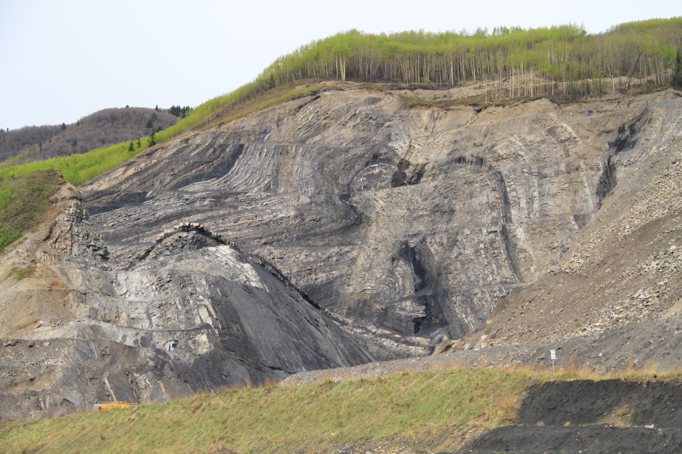
One of the old coal faces.
This is Alberta Power’s 150 MW coal-fired H. R. Milner Generating Station.
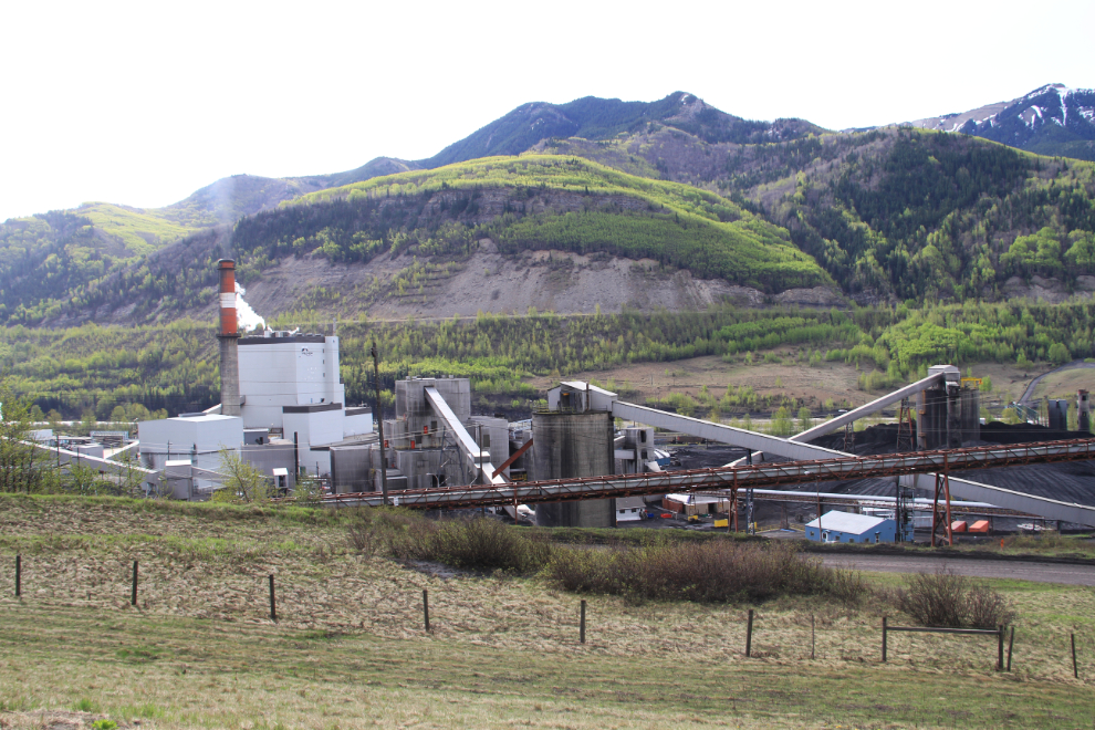
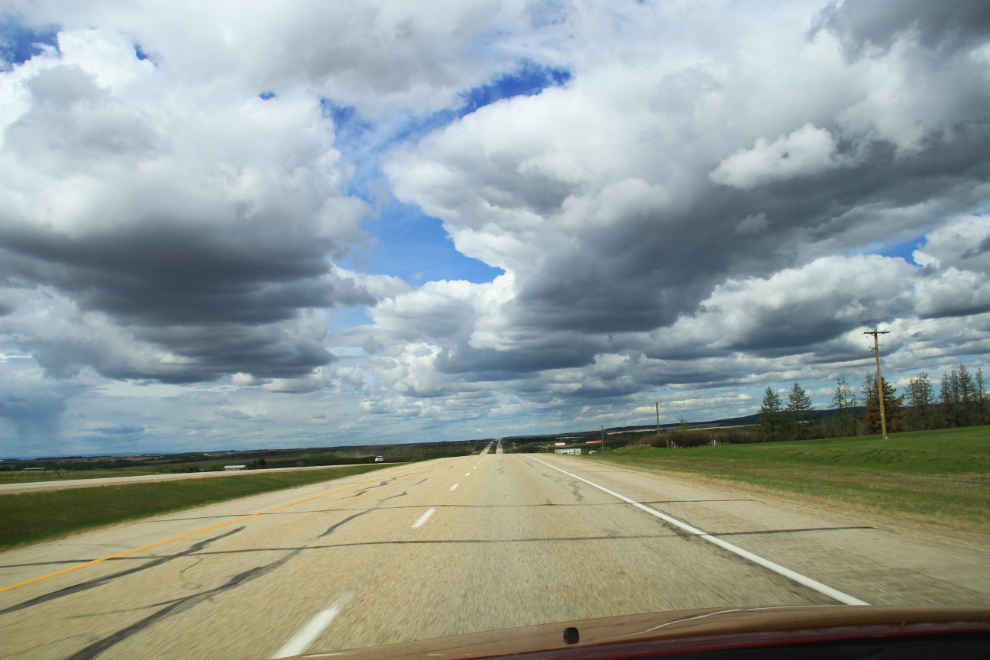
I stopped in Grande Prairie for an early fast-food lunch, then headed northwest on Highway 43. This photo was shot at 11:50.
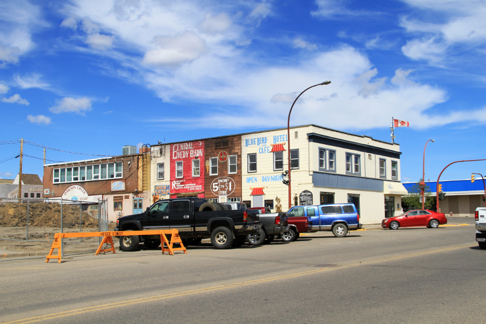
I stopped in Dawson Creek for quite a while. My first stop was Alaska Highway House. It’s sad to see bare gravel where the lovely old Alaska Hotel once stood – it was destroyed by fire last September.
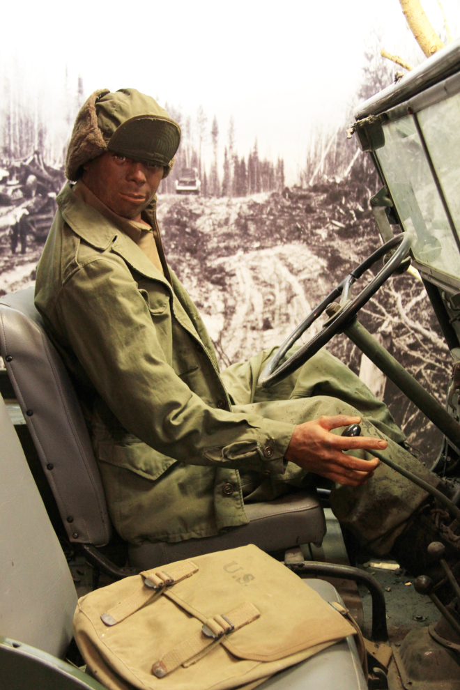
Alaska Highway House is one of the must-sees for anyone heading up the highway. The interpretive displays are excellent.
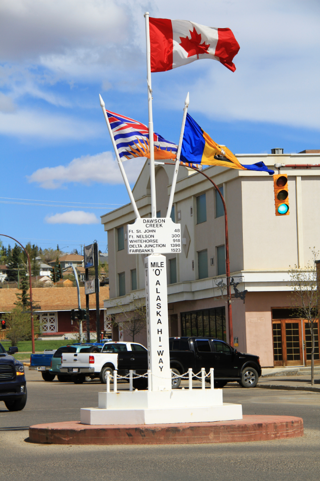
The famous “Mile 0” monument in front of Alaska Highway House.
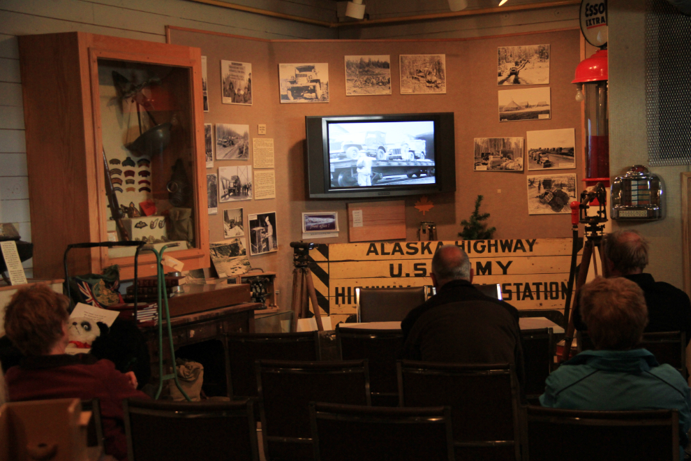
My next stop was the main visitor center, where the films and displays are also well worth seeing. One of the reasons for my visit was to meet the manager, Joyce Lee, who I’ve been talking to on the centre’s Facebook page for years.
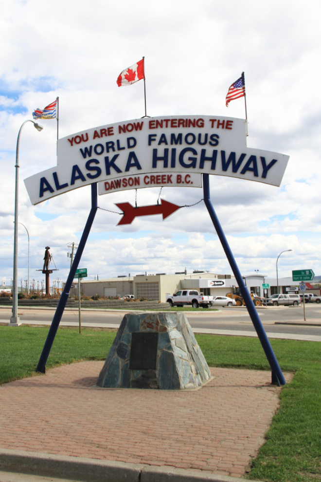
Another of the Alaska Highway monuments in Dawson Creek. See this article for an explanation of the various monuments.
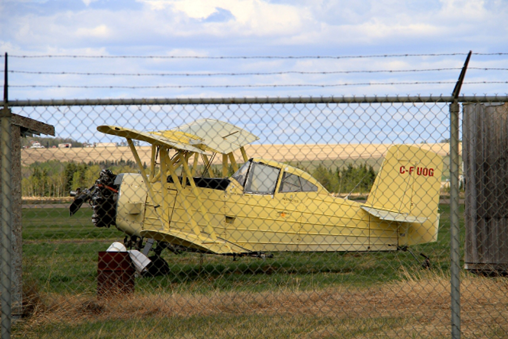
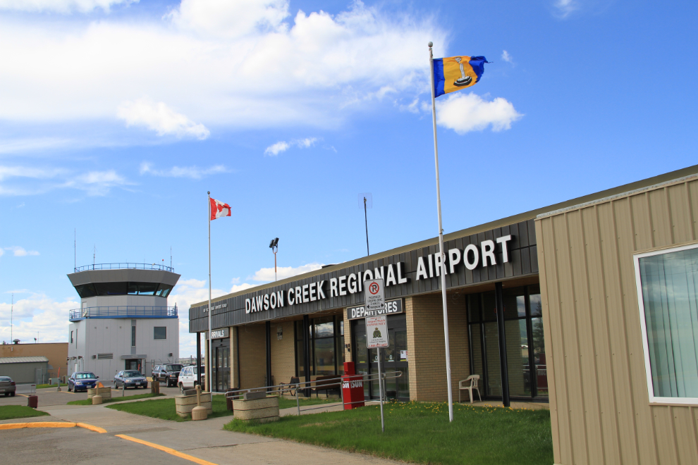
I had seen an intriguing airplane as I drove past the Dawson Creek airport, and went back for a look. C-FUOG is a 1966 Schweizer G-164A crop-duster.
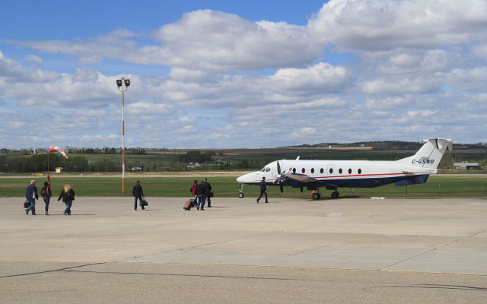
One airplane just wasn’t enough, so I took a few photos around the airport, then went into the cafe for a coffee and snack while a couple of commuter planes departed and arrived.
Sunwest’s Beech 1900 C-GSWB was loading for Fort Nelson.
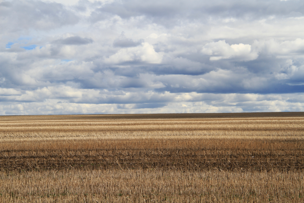
A grain field across the highway from the airport also stopped me for a minute or two 🙂
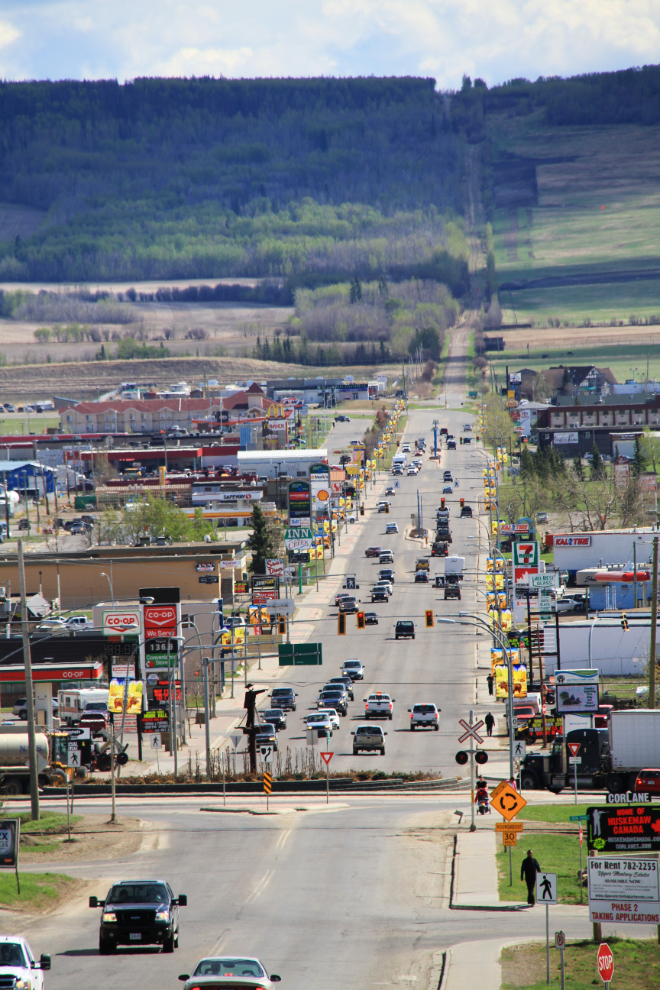
The eastern commercial section of Dawson Creek, looking south. The traffic circle with an Alaska Highway surveyor sculpture can be seen in the lower part of the photo.
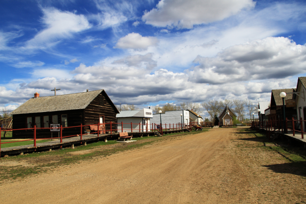
One final stop in Dawson Creek, at the Pioneer Village. Although it wasn’t officially open, a friendly staff member let me in for a look.
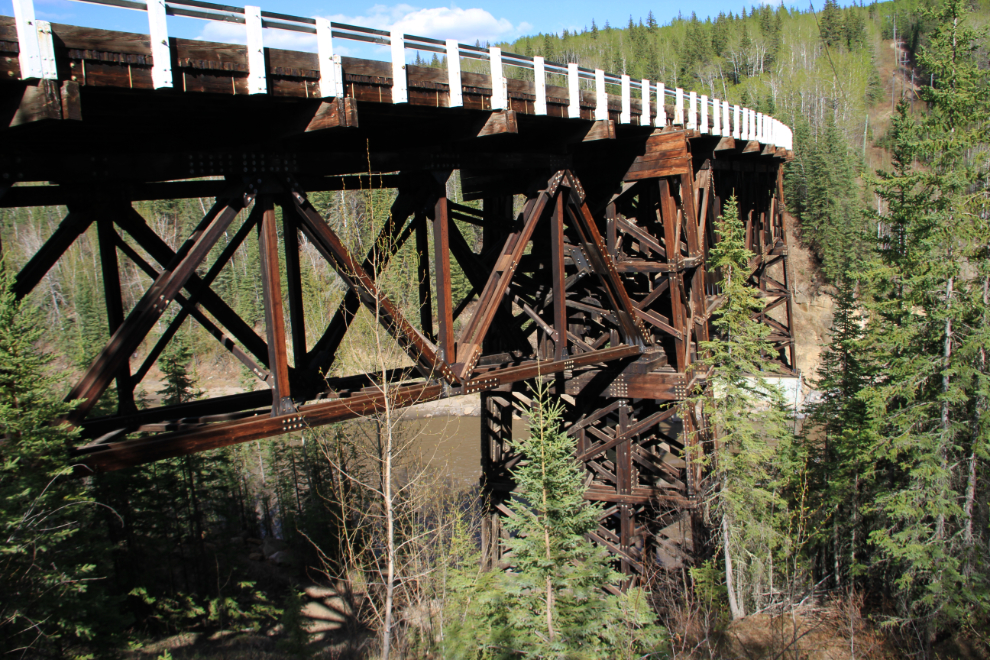
Another detour, to the historic Kiskatinaw Bridge, by far the most unique bridge remaing on the Alaska Highway.
It was almost 6:30 by the time I checked into my hotel in Fort St. John. I’ve stayed at the Northern Grand (now a Quality Inn) many times, and it’s still the best hotel in Fort St. John. Prices are high here due to all the oil and gas workers needing rooms, though, and this stay cost me $185, which is a bit of an “ouch”.

With a very early start and very busy day, I was exhausted, and in bed early. The next day was one I was particularly looking forward to, to Muncho Lake, a beautiful location I’ve only spent one night at, and that was 20+ years ago while driving a Greyhound overload bus at Christmas.