Driving the Alaska Highway, from Fort St. John to Muncho Lake
On Thursday, my schedule called for a 621-km drive up the Alaska Highway to Muncho Lake where I had a room booked at the beautiful Northern Rockies Lodge.
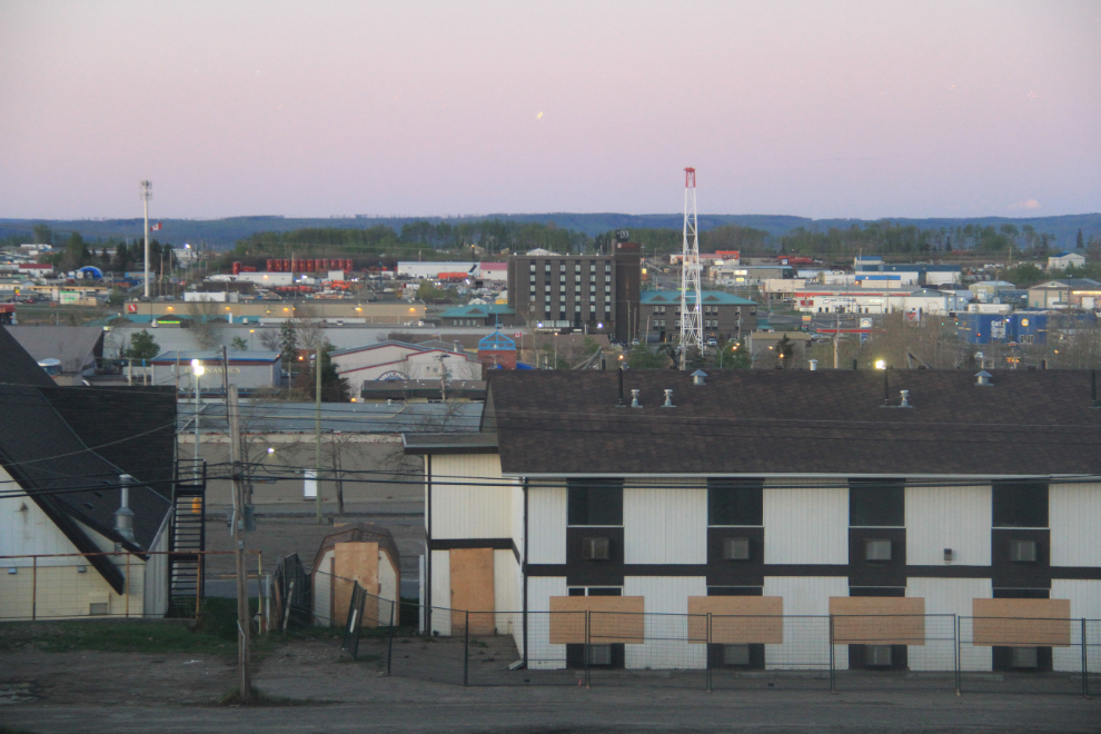
As usual, I was up early, though I didn’t plan to get away until the light was good, as my first photo stop was close by. This was the view from my room at the Northern Grand at 05:45, before I went down for breakfast.
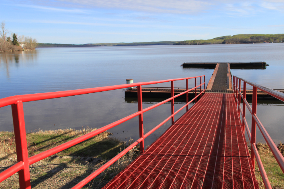
Charlie Lake was my first stop, at 08:00.
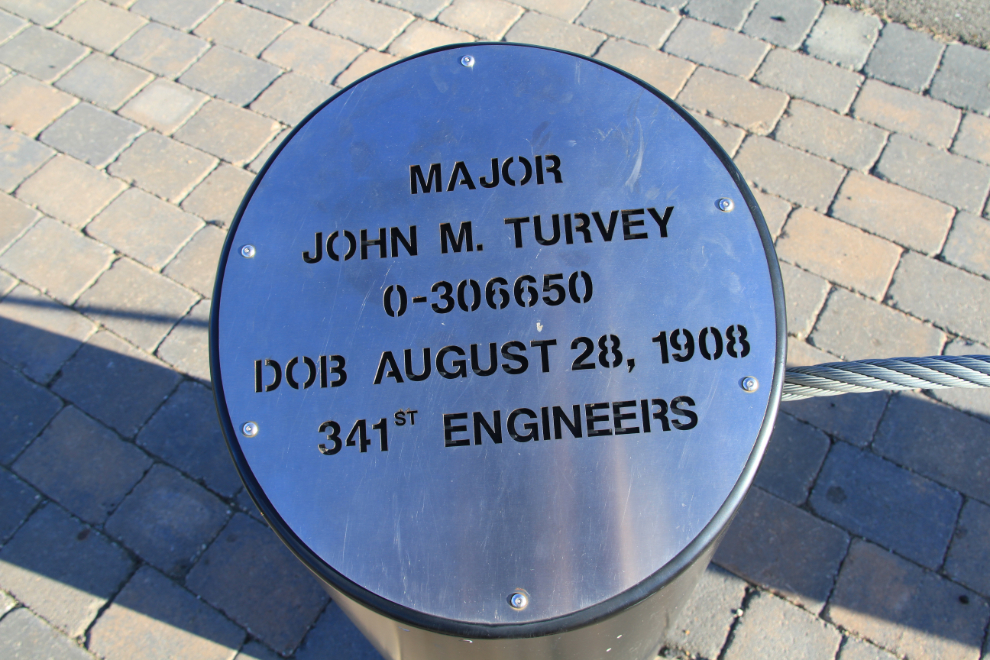
The attraction wasn’t the lake itself, but a new memorial to the 12 men from 341st Engineer Regiment who drowned when their pontoon boat swamped on May 14, 1942. Five men were saved by Gustaf Hedin, a homesteader and trapper who had been watching the boat’s progress and took his small boat out to rescue those he could.
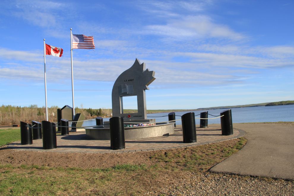
There are 12 posts like this surrounding the main memorial, one for each man. Major John M. Turvey was in command of the boat, which was delivering equipment and supplies to Company E’s bivouac site across the lake.
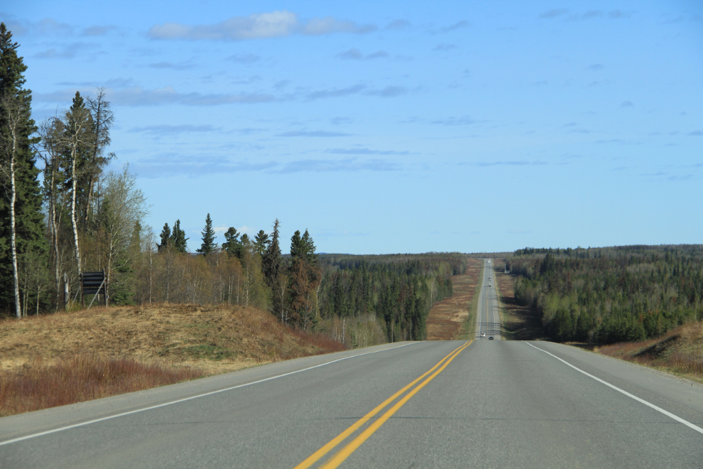
The Alaska Highway north of Fort St. John runs through gently rolling country that’s now dotted with oil and natural gas wells, and criss-crossed by associated roads and pipelines. It’s a very different world than it was even a dozen years ago.
The broad view to the north from the summit of Pink Mountain, at Km 226 (Historic Mile 143) just before 10:00.
It doesn’t seem that long ago that this field at the Beatton River, now overgrown with willows, was part of a ranch and had horses in it.
I was disappointed to discover that the access road to infamous Suicide Hill from highway construction days, at Historic Mile 156, is now a restricted gas-field road.
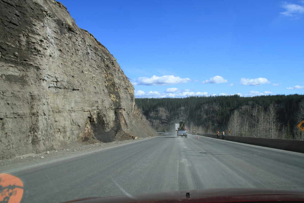
Road construction on the Sikanni Hill at Km 255.
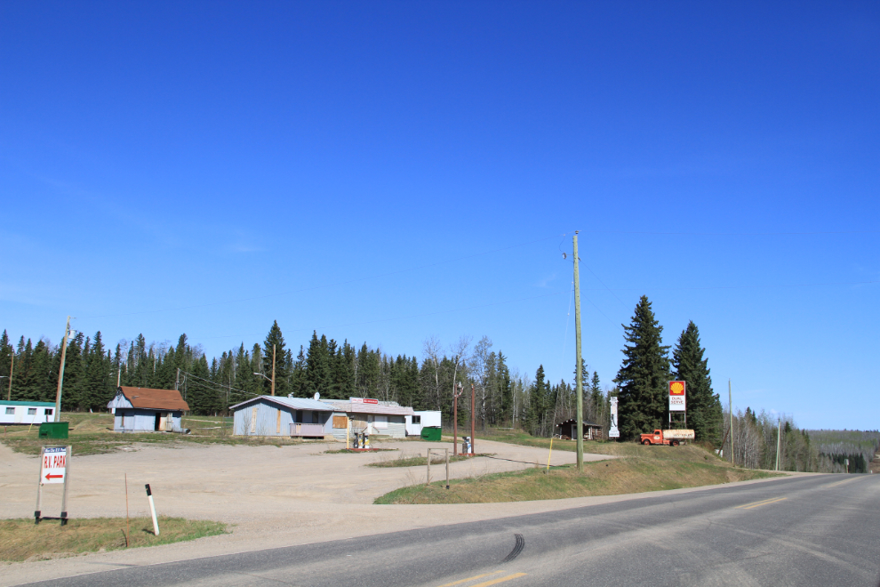
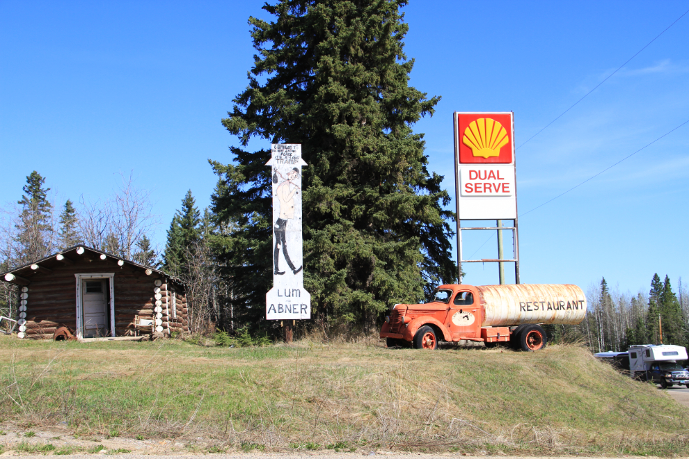
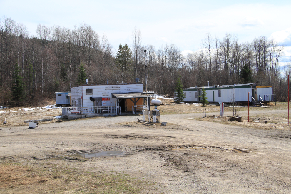
Highway lodges are disappearing at an ever-increasing rate, and there are few old-timers left. Lum ‘n’ Abner’s at Historic Mile 233 (now Km 364) dates back to about 1952 – it closed a few years after a new operation opened across the road and cut fuel prices over and over.
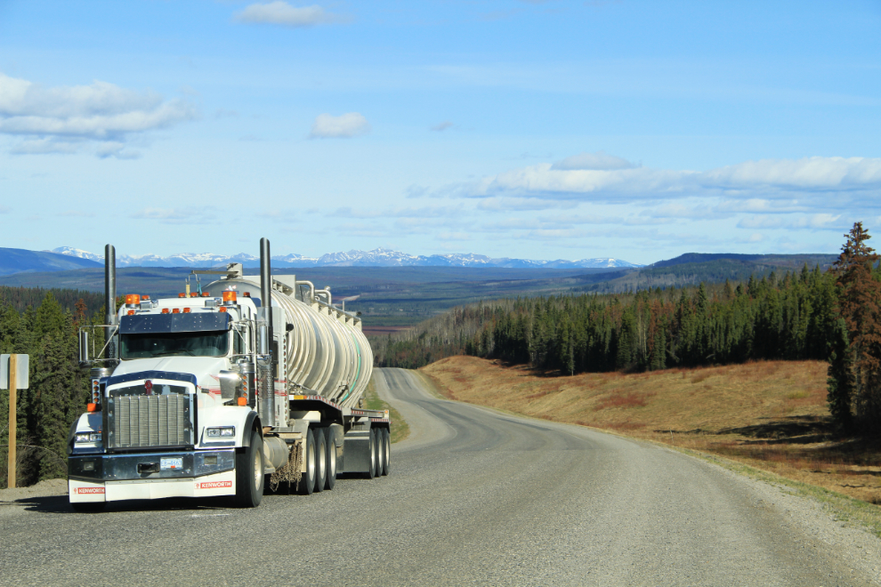
In recent years, I dreaded bringing my charter motorcoach into the Peace River district due to the crazy drivers – oil and gas workers in a hurry. I had 3 close calls on a single memorable mid-winter trip. The number of crosses along that part of the highway now is appalling.
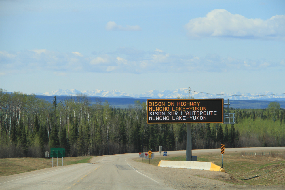
A great deal of money has been spent warning people about the possibility of encountering bison on the highway. This huge electronic sign is at the north side of Fort Nelson – it has a mate just south of Watson Lake for southbound traffic.
I started thiI started thinking more and more about highway lodges, and when I reached another abandoned one, Steamboat Mountain Lodge at Km 531, decided to start recording what was left.
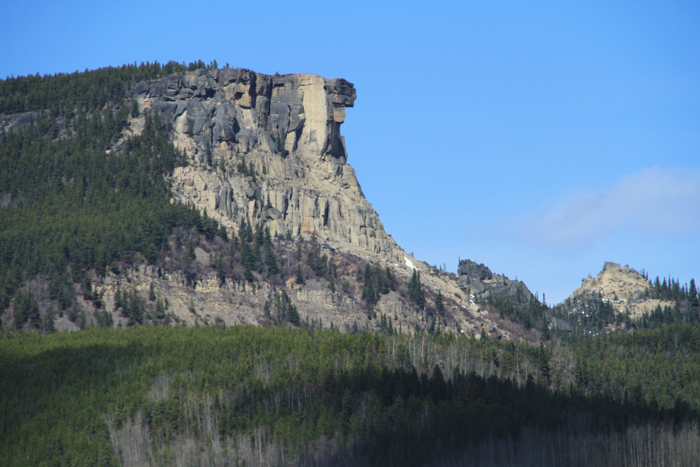
Indian Head Mountain at Km 545, just north of Steamboat Summit.
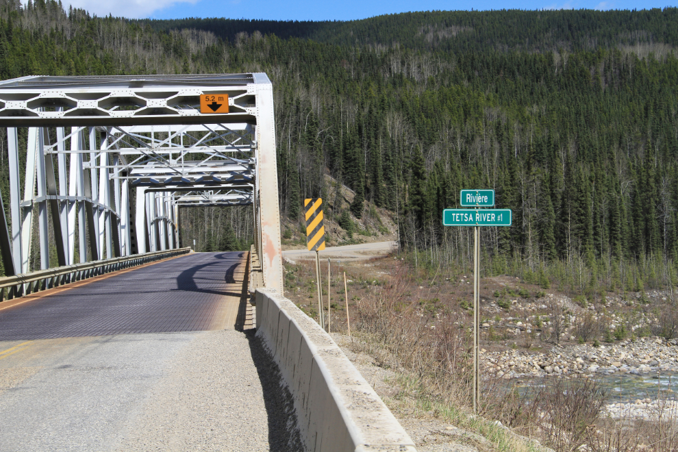
All along the BC section of the highway, signs in French are being added to existing signs or dual-language signs are replacing the old ones. Another project to add to the list of government stupidity.
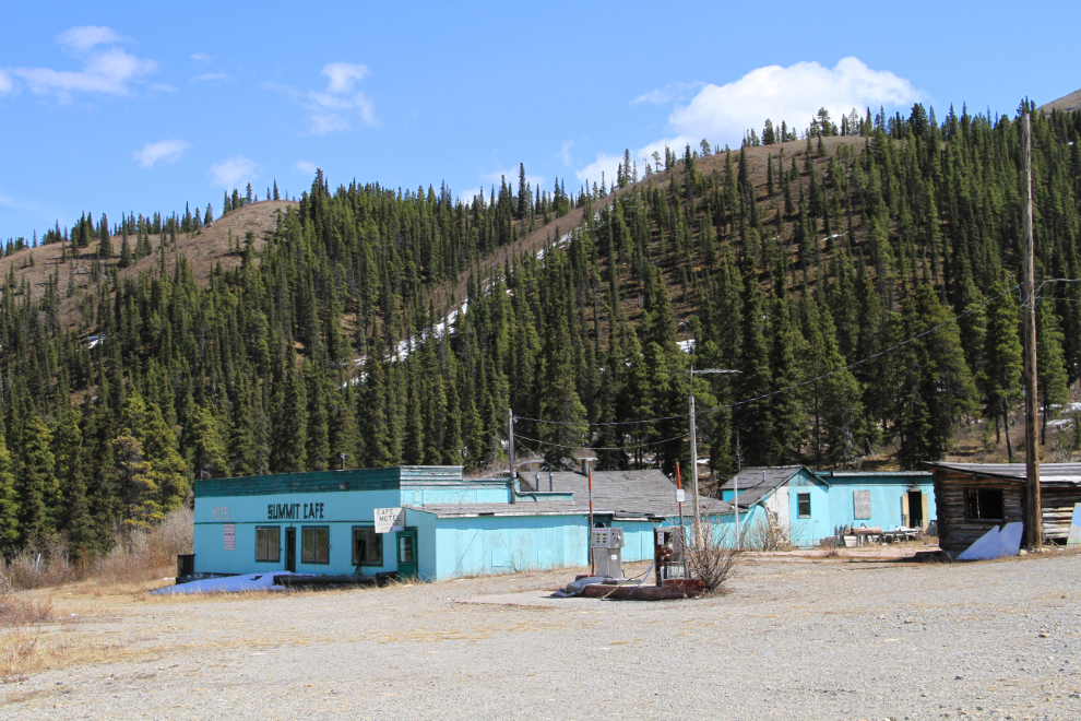
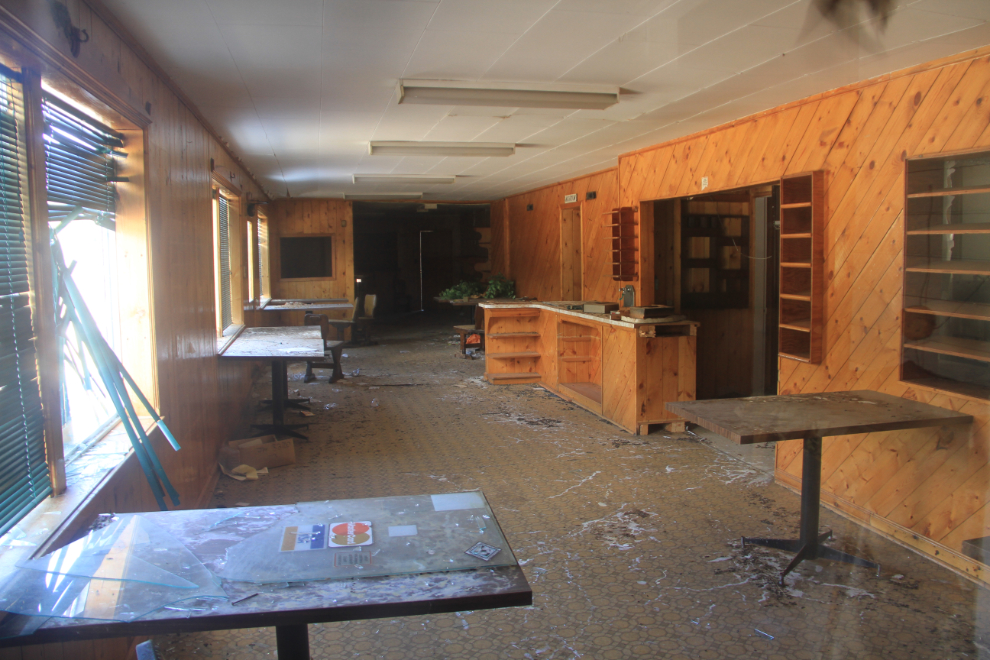
My next highway lodge stop was at Summit Lake, Historic Mile 392, now Km 597. This lodge has been closed for many years – I barely remember ever seeing it open, so probably since the early 1990s.
Summit Lake Lodge turned out to have a surprise for me. Living in a tiny back room in truly awful conditions was a Polish guy about my age. “Wardy” claims that he’s lived there for 3 years, but I don’t know how anyone could survive there for even a few months – everything in his tiny room exept te journal he was writing in was covered by a very thick layer of soot from a stove that appeared to be burning a comination of wood and diesel oil. One minute was too long for me. I didn’t take any photos of him or his accommodations, though I talked with him for a while (listened, mostly).
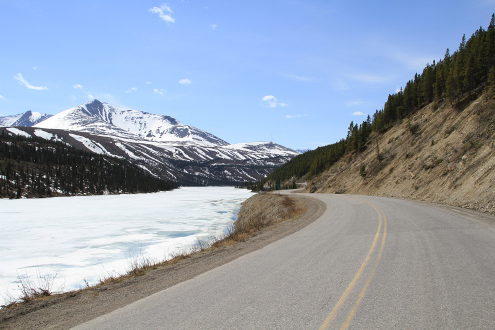
Rounding Summit Lake, still firmly frozen.
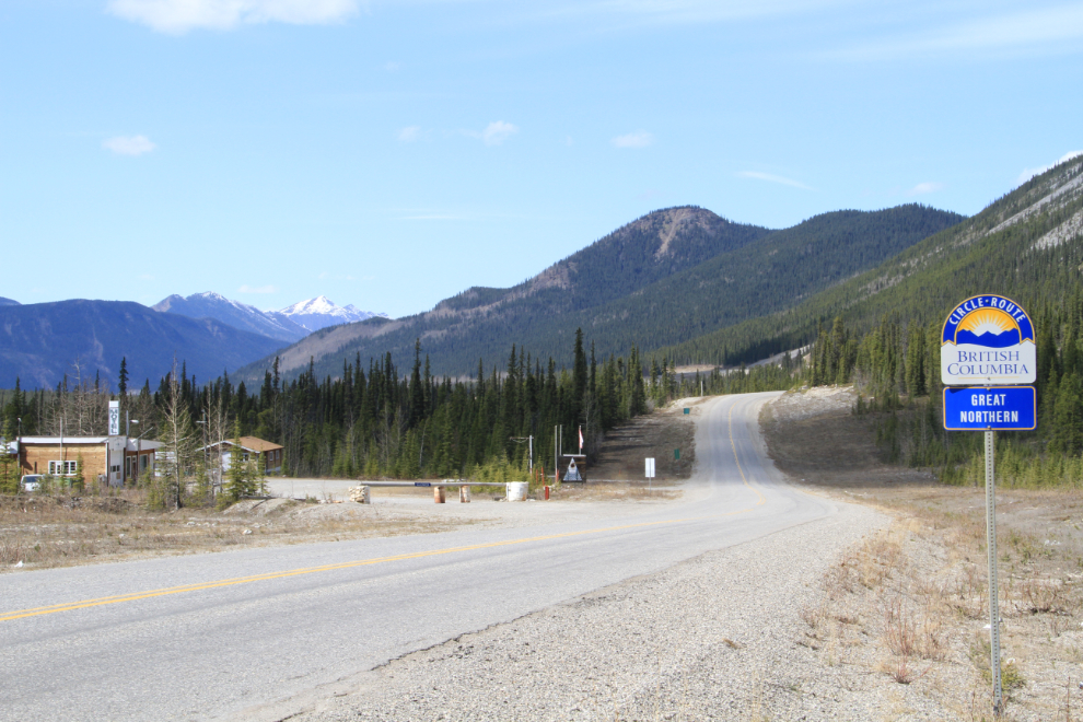
Rocky Mountain Lodge on the left at Km 606 (Historic Mile 397) has an erratic history of opening and closing over the past 15 years or so. The sign on the right indicates that the Alaska Highway is part of a circle route that also includes Highway 37, the Stewart-Cassiar.
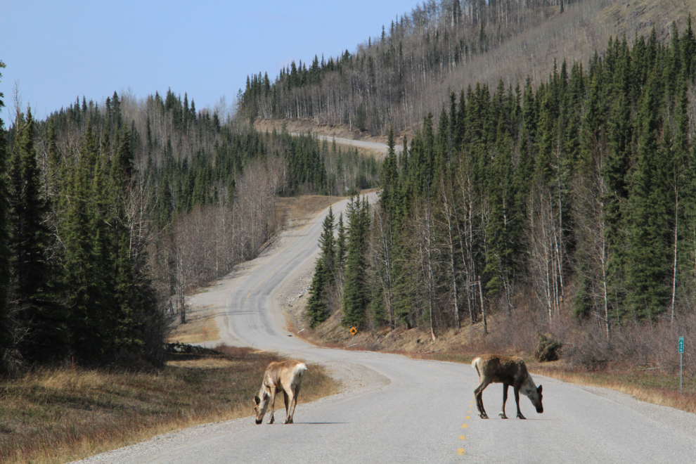
There were lots of caribou on and beside the road – these ones were right at Km 620.
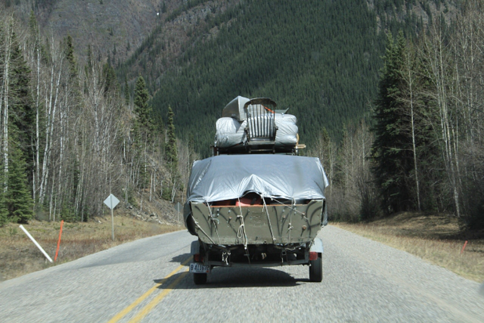
Hey Jed, Granny fell off!! 🙂 This vehicle from Maine was well stocked. The only thing missing appeared to be Granny Clampett on the rocking chair!
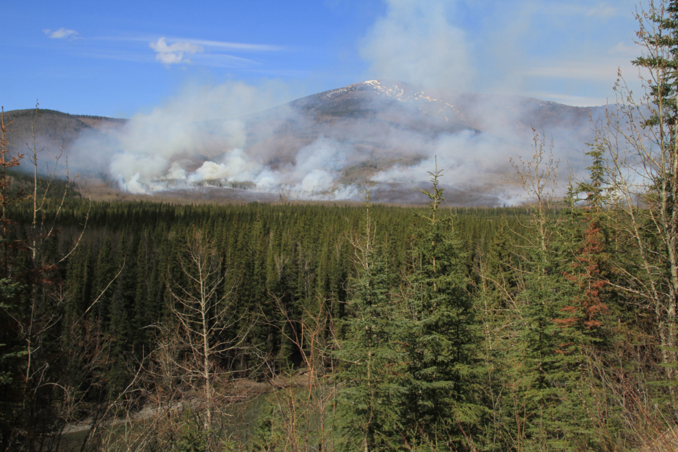
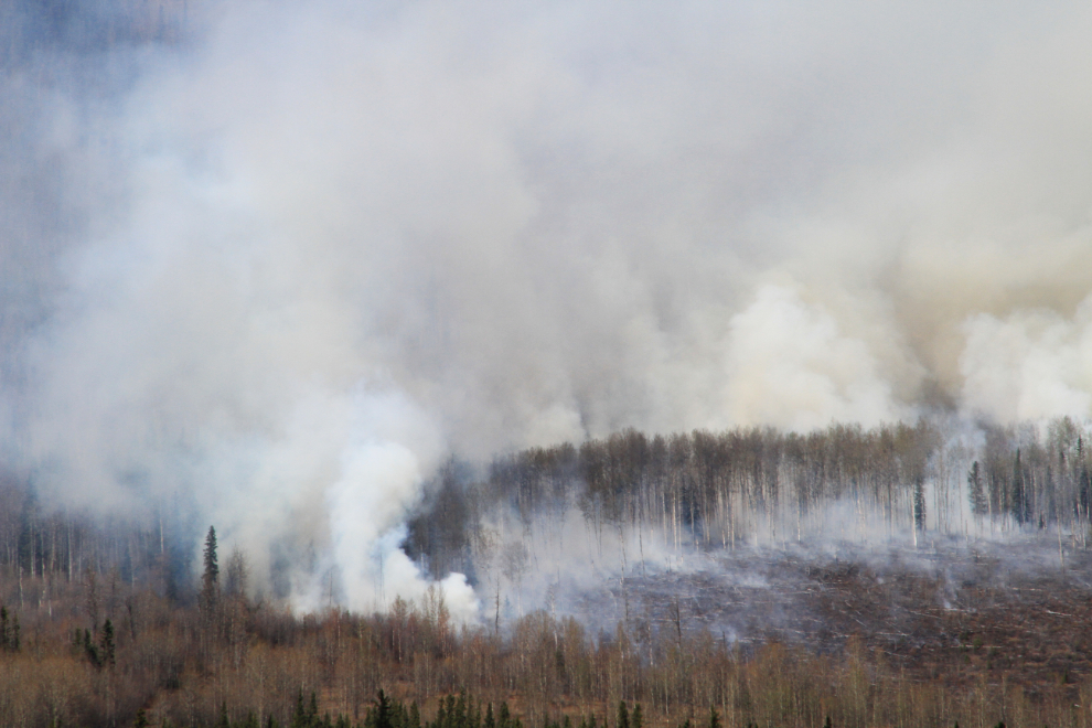
As I got near Toad River (Km 647), a large forest fire could be seen – not until past the lodge was it clear that it was in an area that would pose no danger to the community.
The first view of Muncho Lake, at Km 608.
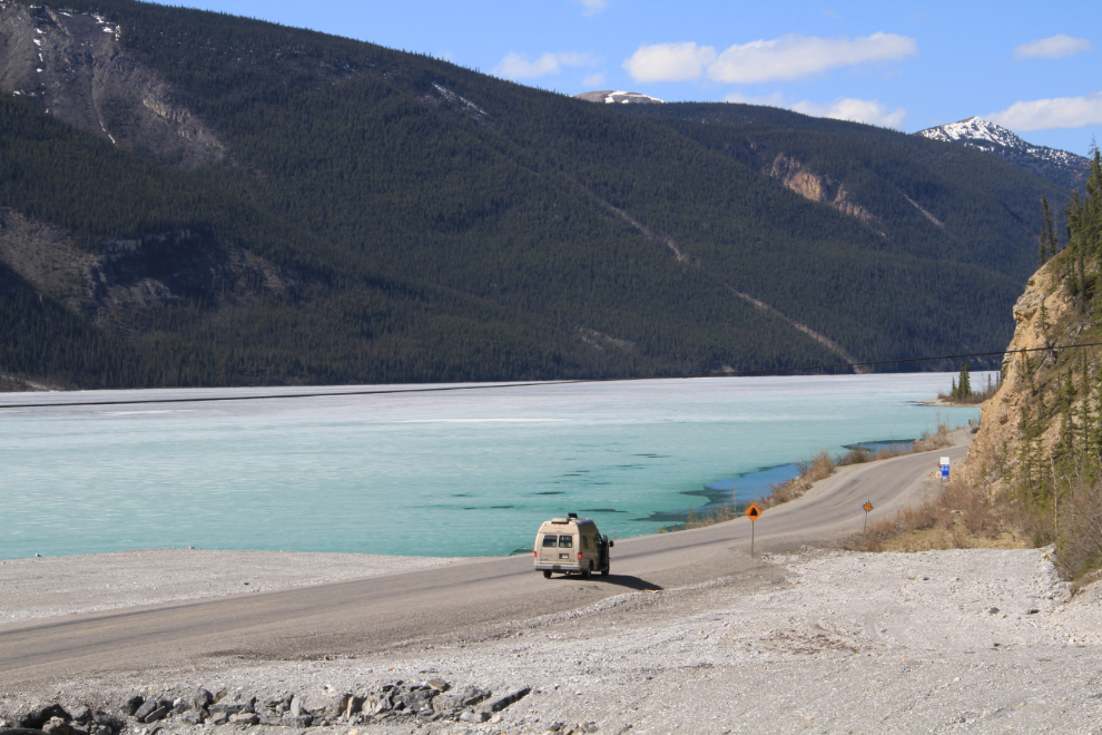
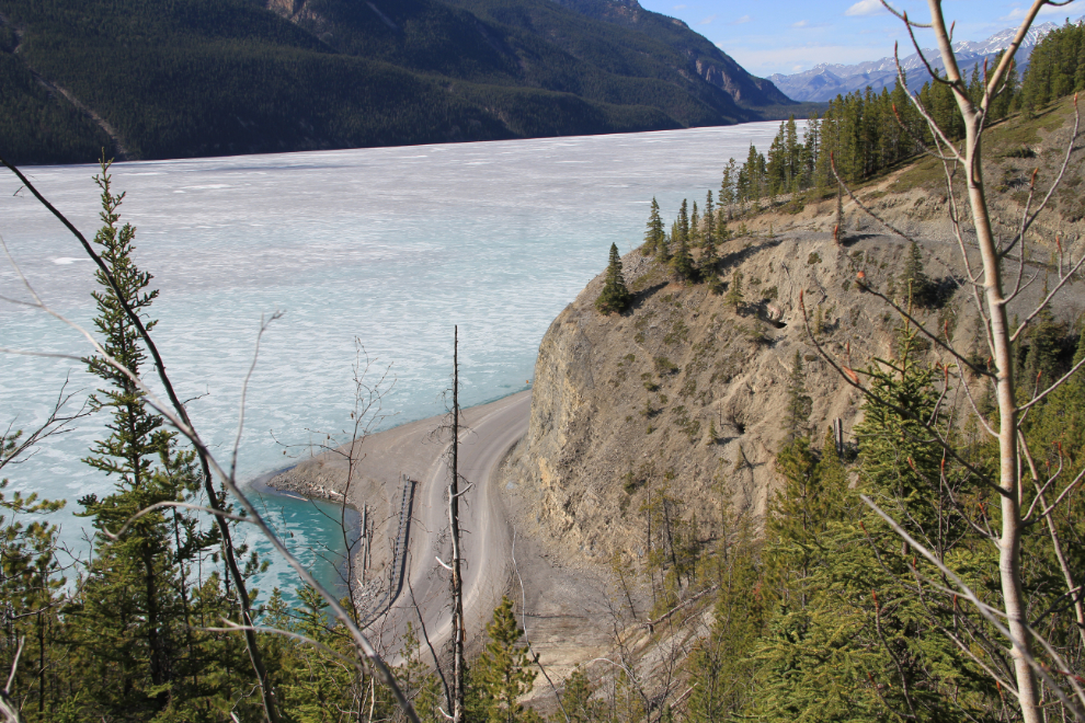
I’d been wanting to many years to have a look at the original road that climbs above the cliffs along Muncho Lake, but had never been able to make the time available. This was the day, finally.
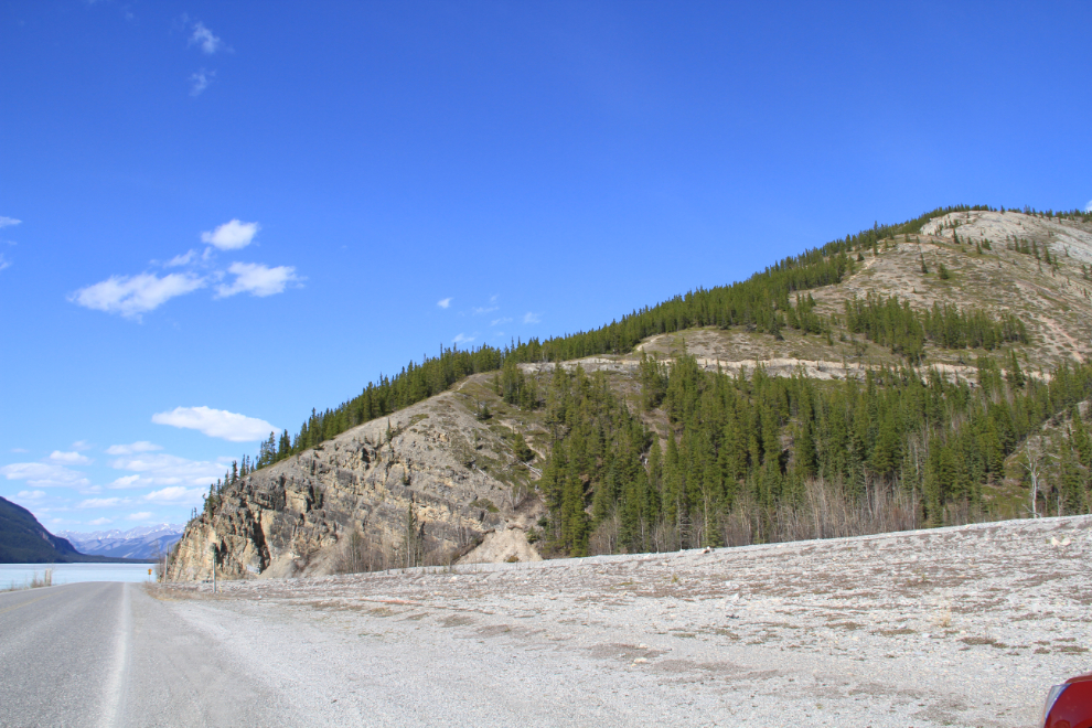
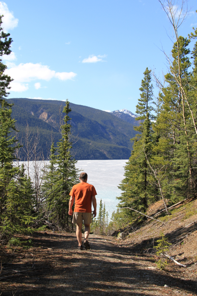
The old road is accessed at the Strawberry Flats Campground. It’s not marked but is easy to figure out. It provides an excellent walk of about 5 km round trip, with lots of variety between shady forest and superb views, some level and some steep hills.
Then (1943) and now on the old Alaska Highway.
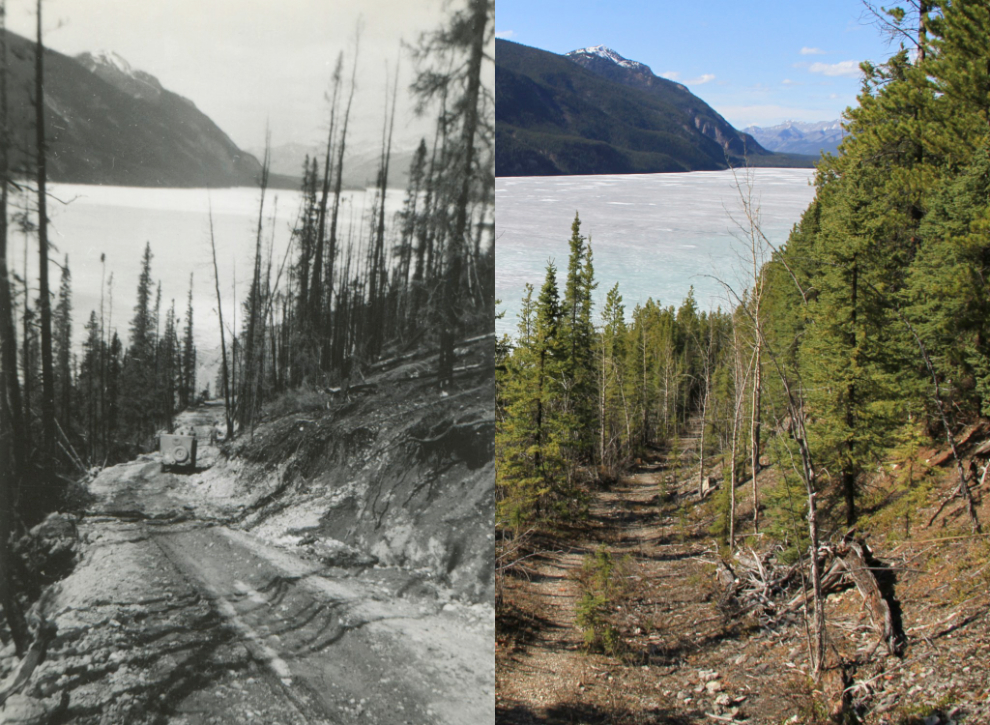
The current highway, with the old road visible above it. An enormous amount of blasting was required to construct the level shelf along the lake shore that the current highway is on.
I spent just over an hour hiking, then went down to the lake to enjoy the icy, pure water of Muncho.
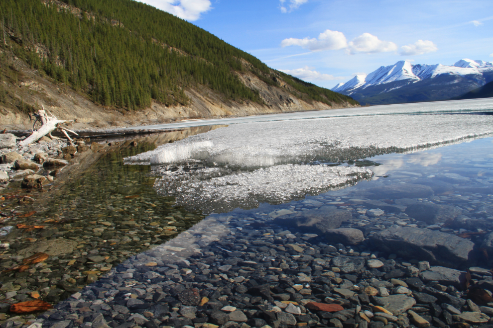
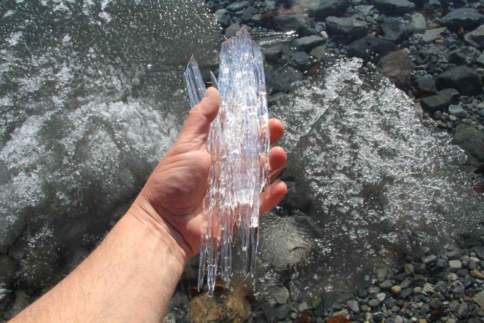
A closer look at what we call “candle ice”. As the pans of ice break up, the candles make a wonderful sound that’s not unlike a wind chime.
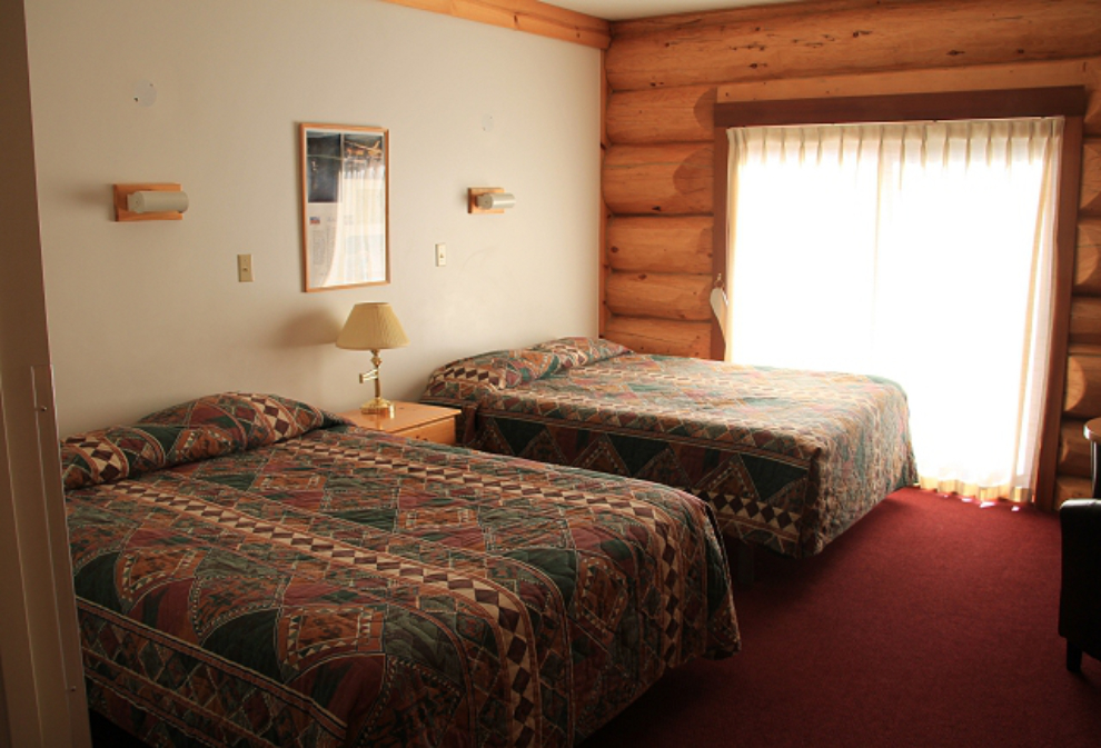
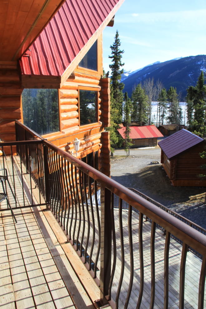
I reached the Northern Rockies Lodge a few minutes before 6:00 pm. Checking in, I was very pleased with my room.
My balcony with a distant view of the lake.
I had planned to do some more walking, but after a very large dinner (an excellent Swiss schnitzel) and a beer, went to bed early so I could get off to an early start, with the idea that I could surprise Cathy by joining her for lunch.