A drive to Skagway, with lots of changes to see
I took a drive to Skagway on Tuesday. I hadn’t been down since April 19th, which must make it one of the longest stretches without a Skagway trip in the past 25 years. It turned out to be an important day, as I saw a couple of significant changes along the highway.
It was a cloudy, chilly, rather dreary morning when I left Whitehorse just before 08:30, but by the time I reached the Venus Mine on Windy Arm, it had gotten quite nice. It was still only 8°C/46°F, though – it hasn’t exactly been the July I was hoping for.
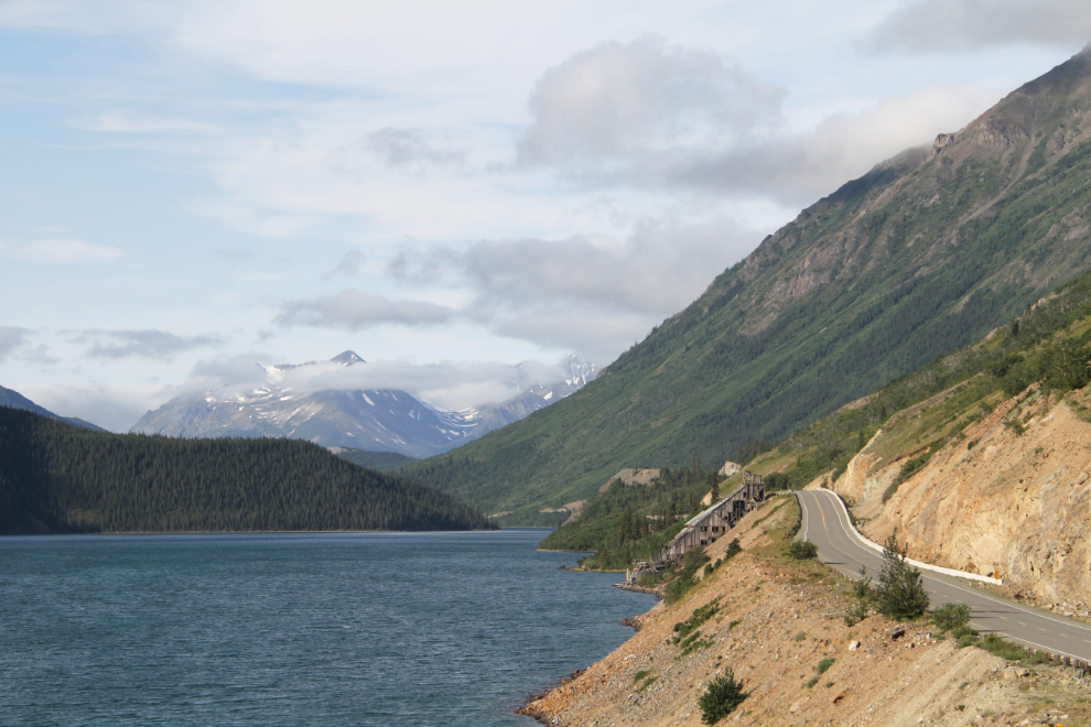
From the hill dropping down to Tutshi Lake, I could see a thick cloud bank down towards Skagway.
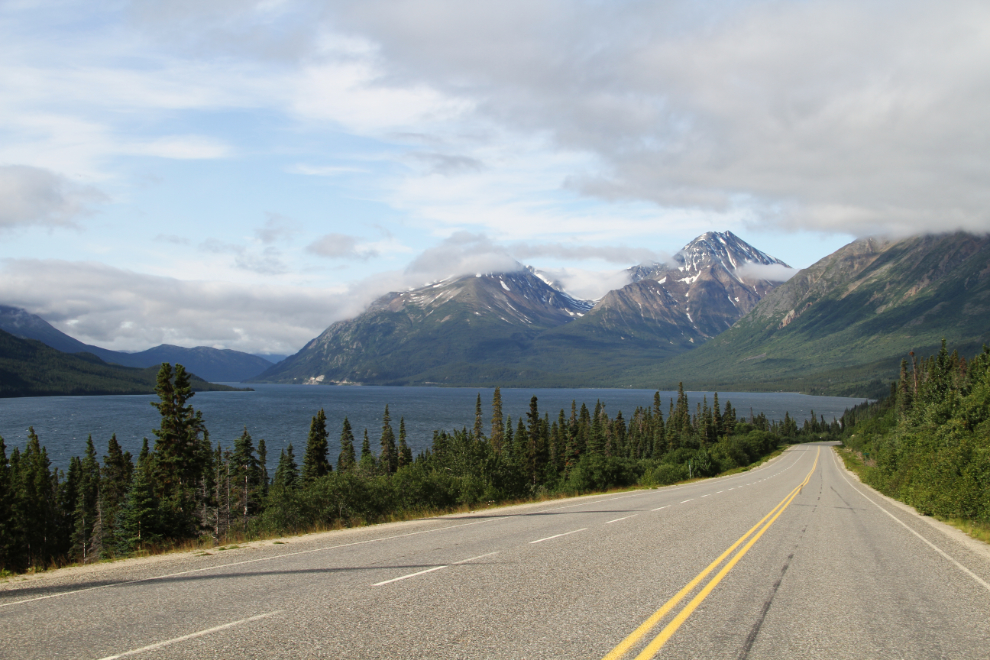
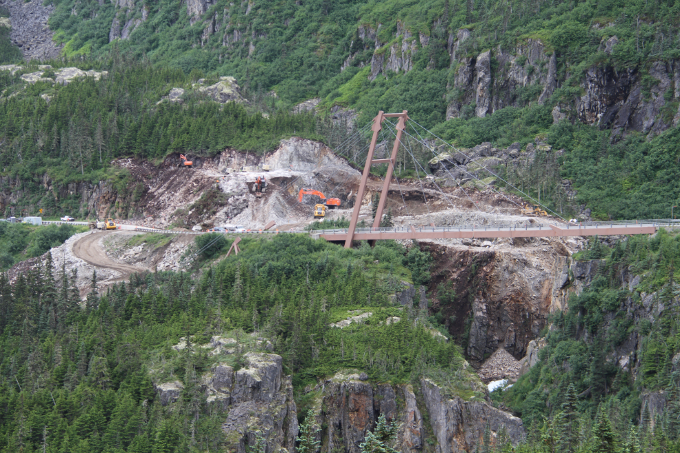
Work began on May 17th to replace the unique William Moore Bridge with a concrete “dam” structure, and is well underway now. The Alaska Department of Transportation summary of the project states: “The Alaska Department of Transportation, in cooperation with Hamilton Construction, LLC, is working to replace the Captain William Henry Moore Bridge on the Klondike Highway near Skagway. Upon completion, a roller-compacted concrete (RCC) structure will carry traffic over William Moore Creek and replace the aging bridge. Rock excavation required for the RCC structure will allow the State to straighten the roadway and build a new wayside parking lot south of the bridge. There will be no future access across the old bridge, but the structure will remain in place as a testament to the ingenuity and hardwork of the Klondike Highway pioneers. This project is expected to be complete by the end of August 2018. This project will shutdown due to seasonal weather restrictions in the fall of 2017. Construction will resume after the spring thaw in 2018.” The new crossing is really ugly, but I’m pleased that the current bridge is going to be saved as an historic site.
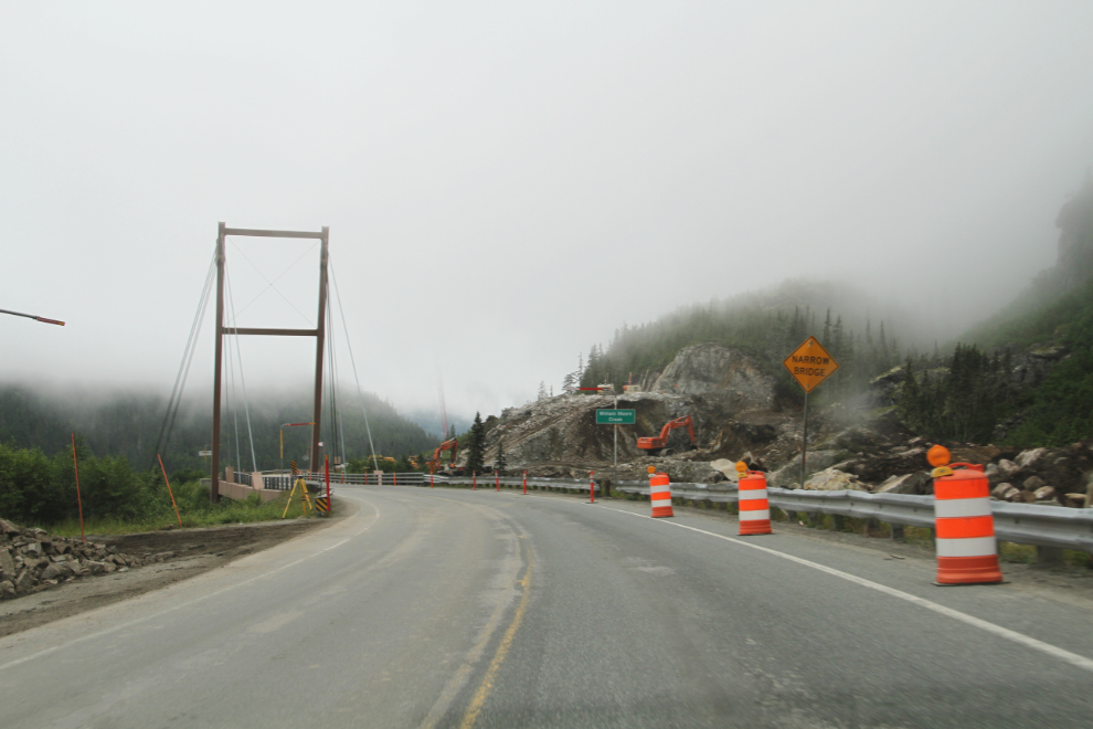
There were 4 large and very large cruise ships docked in Skagway, but the streets were surprisingly quiet when I shot the next photo from in front of the post office at 10:15. Most of the few people out walking were dressed for Fall.
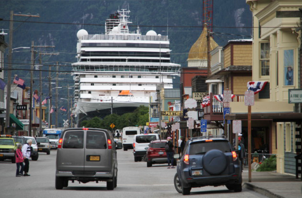
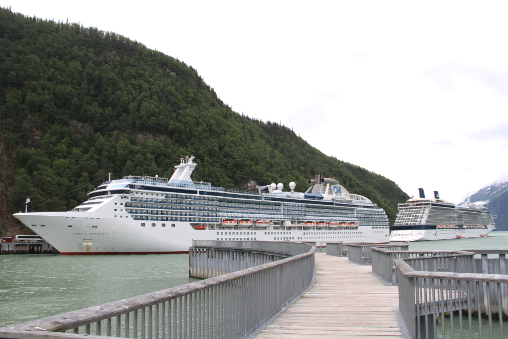
The Coral Princess and Celebrity’s Solstice were at the Railroad Dock. The Coral Princess can carry up to 2,590 passengers and 900 crew members, and the Solstice can carry up to 3,145 passengers and 1,253 crew members. Seeing them brought back some good memories – I worked on the Coral Princess as ship naturalist for 3 weeks in 2010, and sailed to Hawaii on the Solstice in 2014.
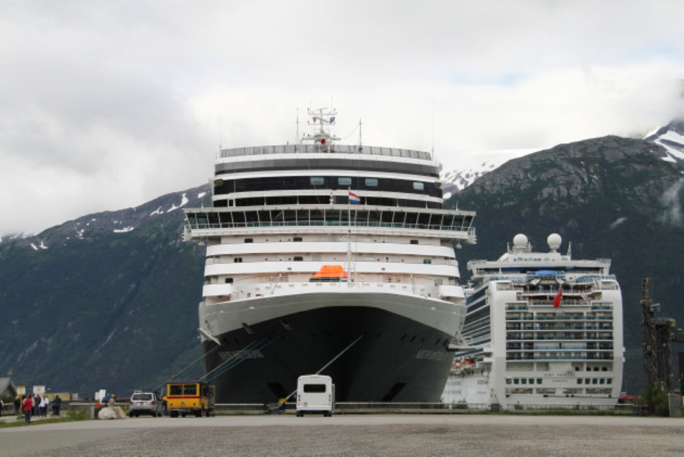
At the Broadway Dock, Holland America’s Nieuw Amsterdam which can carry up to 2,109 passengers and 929 crew members, and at the Ore Dock, the Ruby Princess, which can carry up to 3,782 passengers and 1,200 crew members. So, these 4 ships could carry 15,908 people into a town of about 1,000 residents.
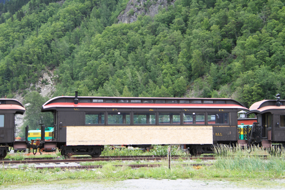
I did a loop around town to see what’s new, and then stopped at the White Pass & Yukon Route railway’s Shops, where restoration work has started on 4 passenger cars.’
On the way north, the clouds had lifted enough so I could get some photos of the bridge work. The vast majority of people who drive the highway never see the spectacular gorge that’s being filled in, but I used to stop there fairly often. The gorge is only 110 feet wide, but 180 feet deep (the William Moore Bridge deck is about 250 feet long).
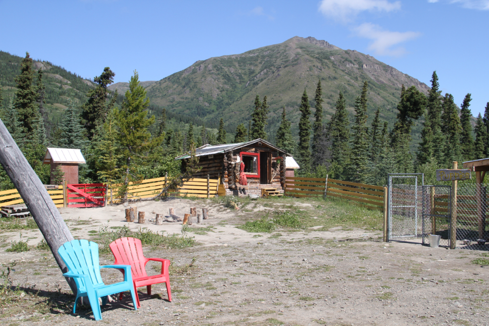
I made a stop at Tutshi Sled Dog Tours, operated by famous Yukon Quest and Iditarod musher (and long-time friend) Michelle Phillips, and had a nice visit.
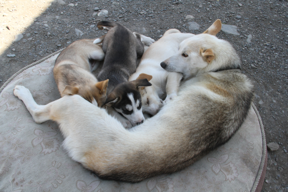
I also had a nice puppy fix 🙂 These pups are old enough to be weaned, but mom clearly doesn’t mind.
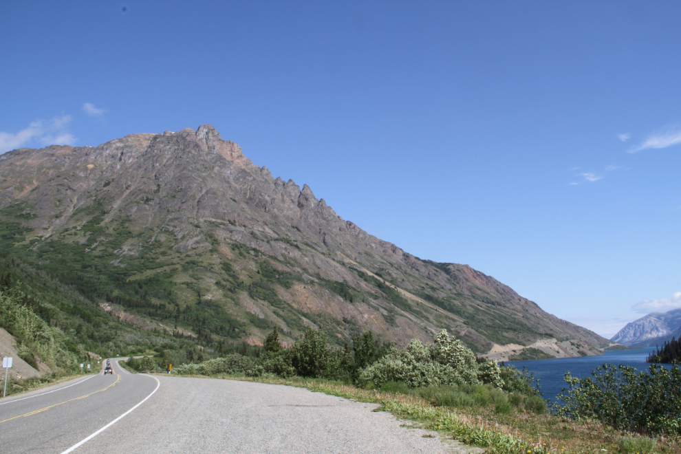
The last time I saw Dail Peak (in April) there was still plenty of snow, and Windy Arm was still frozen.
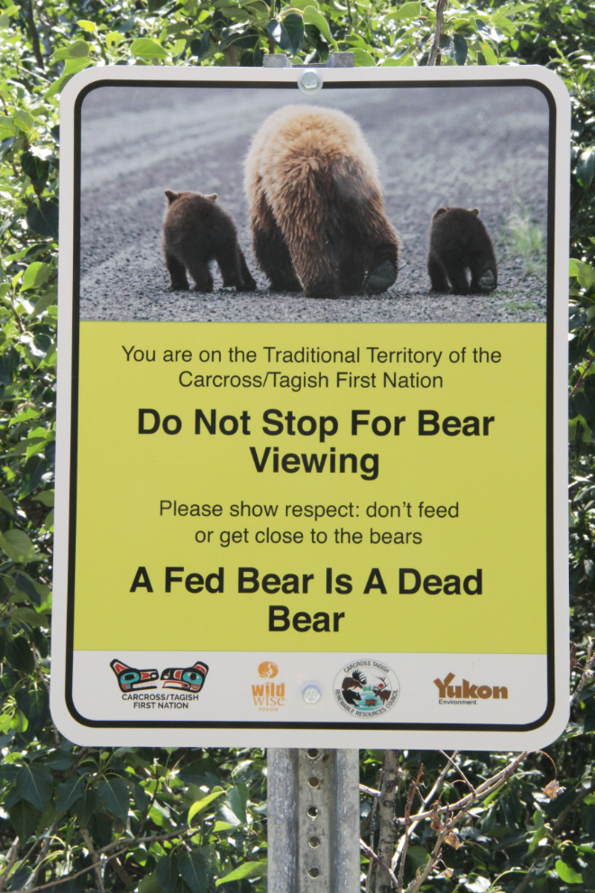
I saw one of these signs at the border crossing back into Canada, but didn’t get a close look. This is the stupidest, most tourism-unfriendly sign I’ve ever seen posted in the Yukon, and I want to know who in hell gave the Carcross Tagish First Nation permission to pretend that they have any authority to make regulations on the highway. Absolutely “don’t feed or get close to the bears”, but Do Not Stop for Bear Viewing – kiss my ***. Grrrrr…….
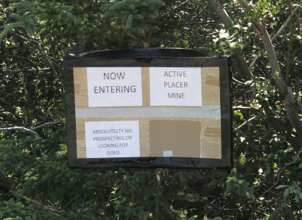
On the way south I had noticed some signs beside the road going into an old garvel pit beside the historic Conrad townsite. I stopped for a look, expecting that they were “No Camping” signs. But “Active Placer Mine” was a surprise. Yesterday, an email query about Conrad that was first sent to the Yukon News, then to historian Michael Gates, was passed on to me. It was from the guy who staked this claim – I love small towns. So yes, it is a new placer gold claim, and it is going to be worked this year in a small way. There actually is gold there – I’ve been sending people there to pan for decades. I won’t do it anymore, but Wes is liable to have his hands full policing that.
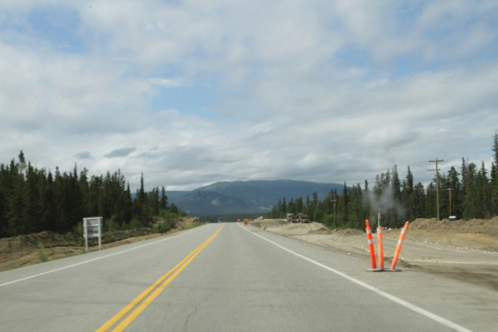
On the Alaska Highway, more changes are happening just a couple of miles from my home. The intersection of the Alaska Highway and the South Klondike Highway (known as the Carcross Corner), and business access roads there, are being completely re-designed.
Today is going to be a busy day, getting the motorhome ready to go out again. I’m going down to the Haines Summit tomorrow morning for 5 days, hosting a hiking club based in Anchorage. There’s no cell or Internet access down there, so I’ll be “going black” for most of those 5 days 🙂