A 6-day RV/hiking trip: Haines Summit and Kluane
On Friday, July 21st, I took the motorhome to the Haines Summit for a few days of hiking with friends from Haines and Anchorage. Mother Nature wasn’t very cooperative despite a fairly good weather forecast, but we got about 50 km of hiking done, much of it on trails that were new to me.
I’m just going to report briefly on the various routes and trails we hiked, but there are still 49 photos in this post.
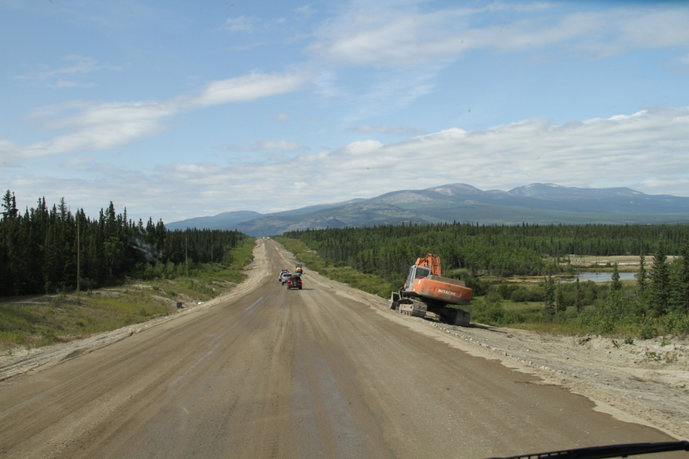
I had several delays getting out of Whitehorse, but at 1:10 on Friday I was almost through the construction on the Alaska Highway west of Whitehorse.
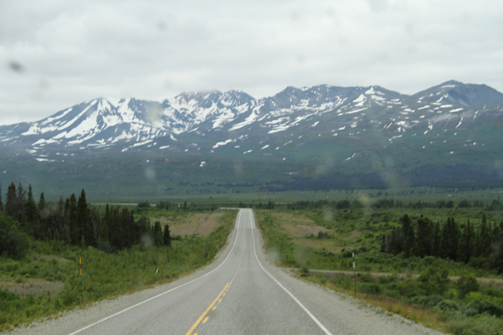
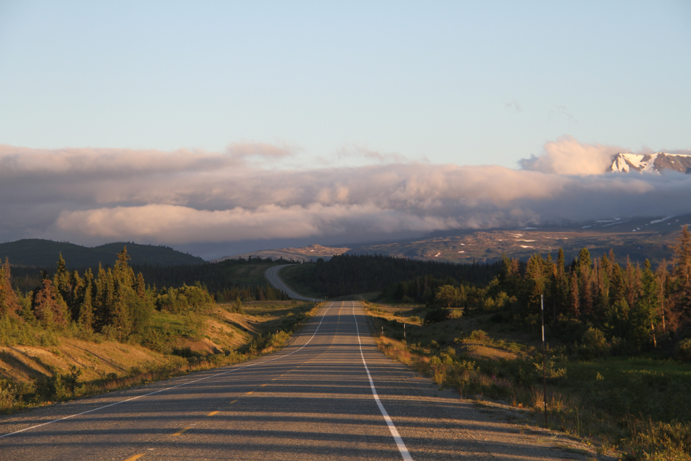
Southbound on the Haines Highway at 3:30, nearing the Haines Summit, with the skies now cloudy and the windshield well covered with bugs.
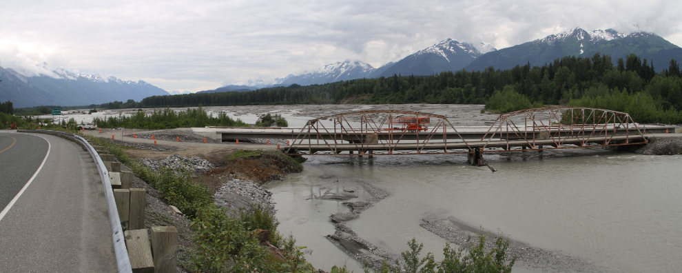
I was running very late, and had said that I’d pick Ryan up at the Haines Airport (he flew in from Anchorage), so I disconnected the Tracker at the summit and headed down. I had managed to get a message relayed to him so he knew that I was going to be almost an hour late. On the way back up the hill, I stopped to get some photos of the old bridge that leads into the Porcupine gold mining district – it’s being replaced by a concrete structure. Fans of gold mining reality TV shows may recognize that bridge as the one leading to the gold claim where Parker Schnabel and his grandpa started mining.
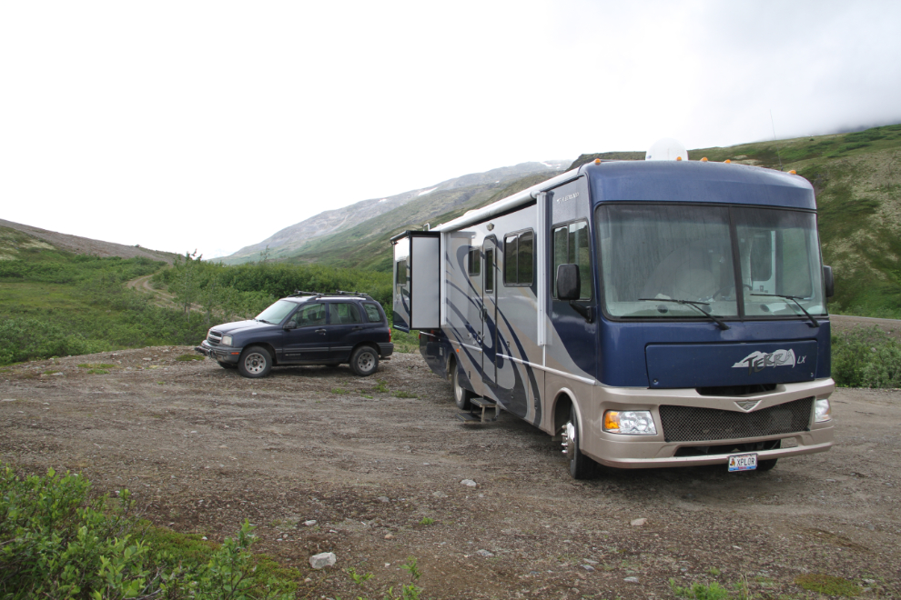
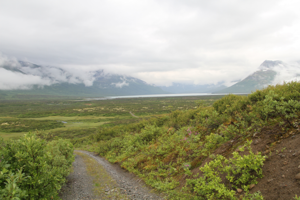
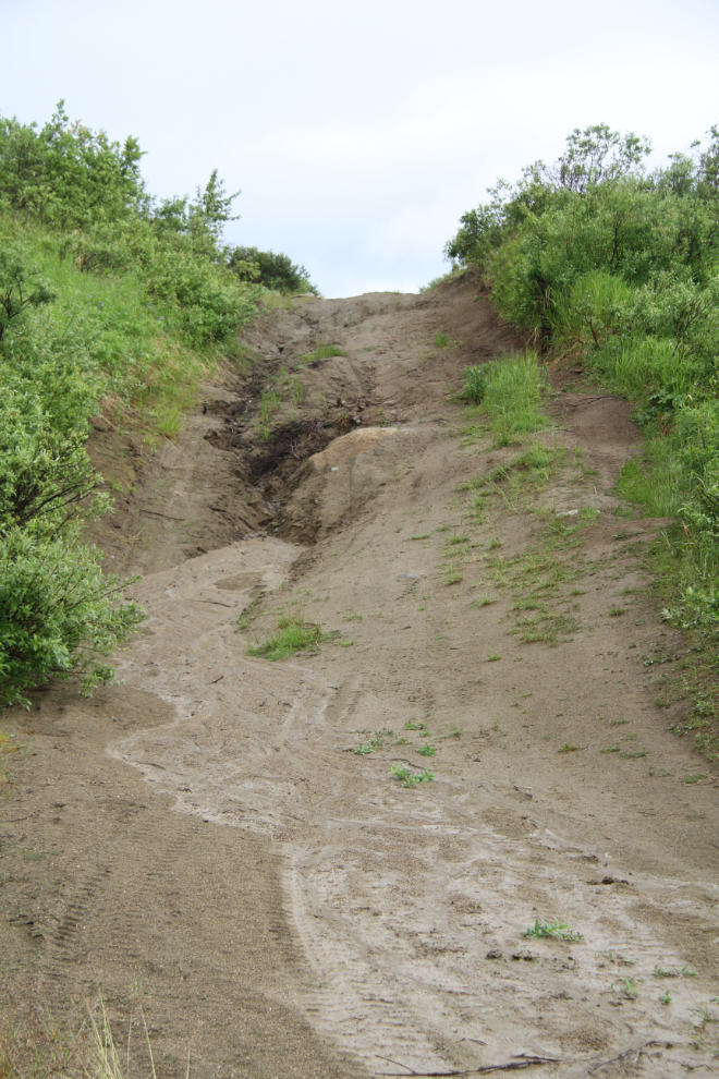
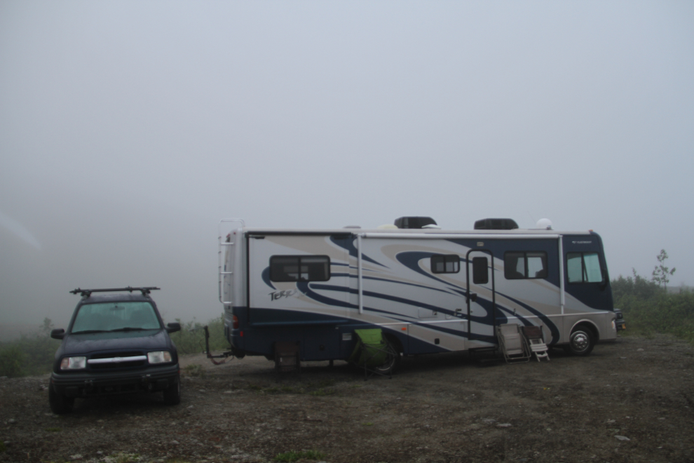
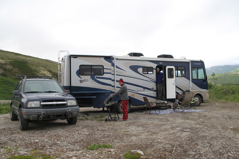
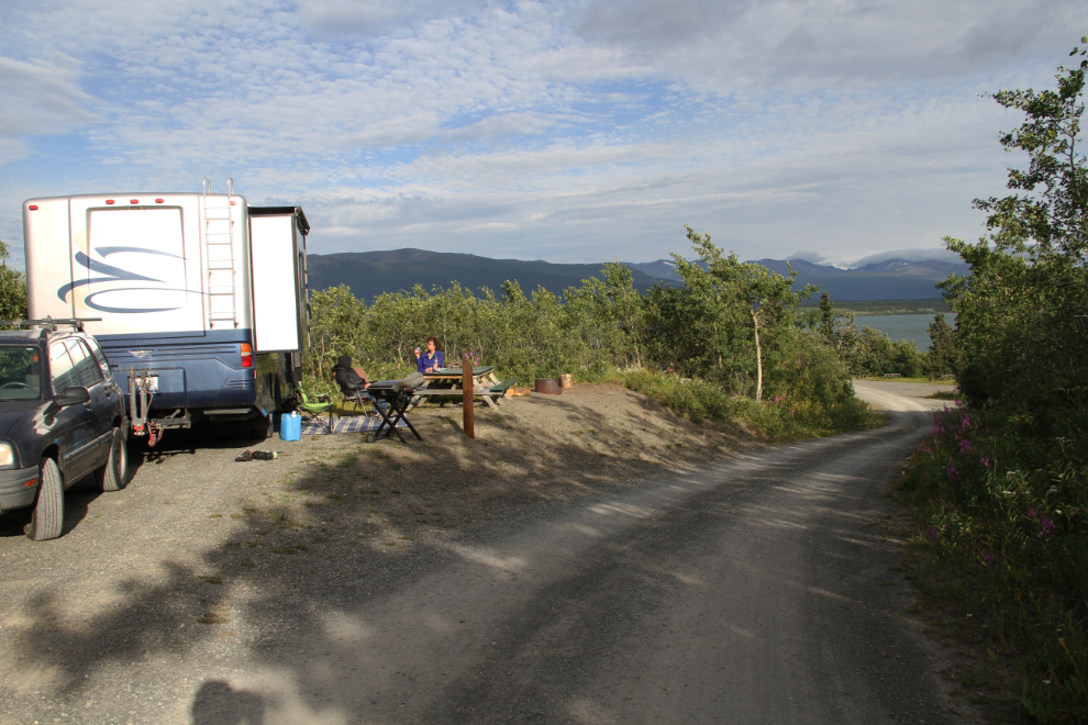
The road leading to the location where I wanted to set the RV up was too rough, but I found a spot close by. It was well off the Haines Highway, with spectacular views.
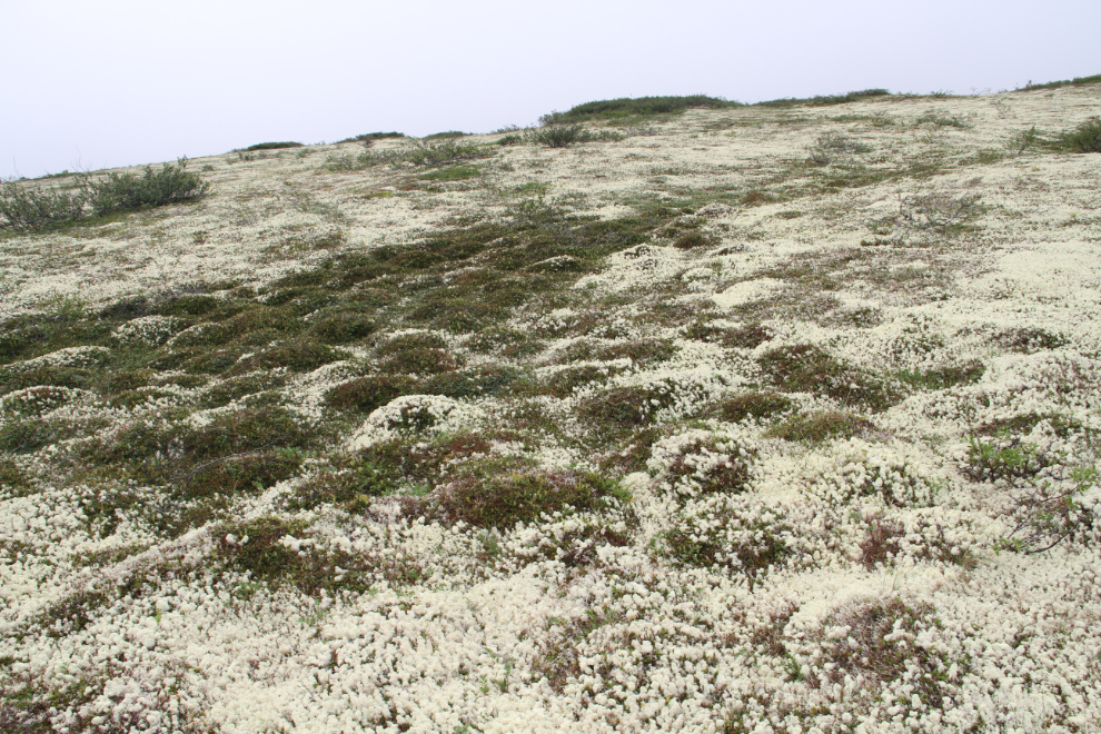
Once I got set up, Ryan and I went exploring to the east. I was disappointed to see this damage across the tundra. It could have been decades ago that the truck got stuck – this sort of thing will never heal.
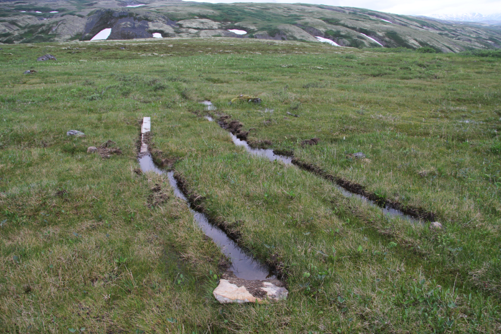
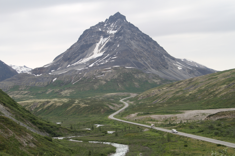
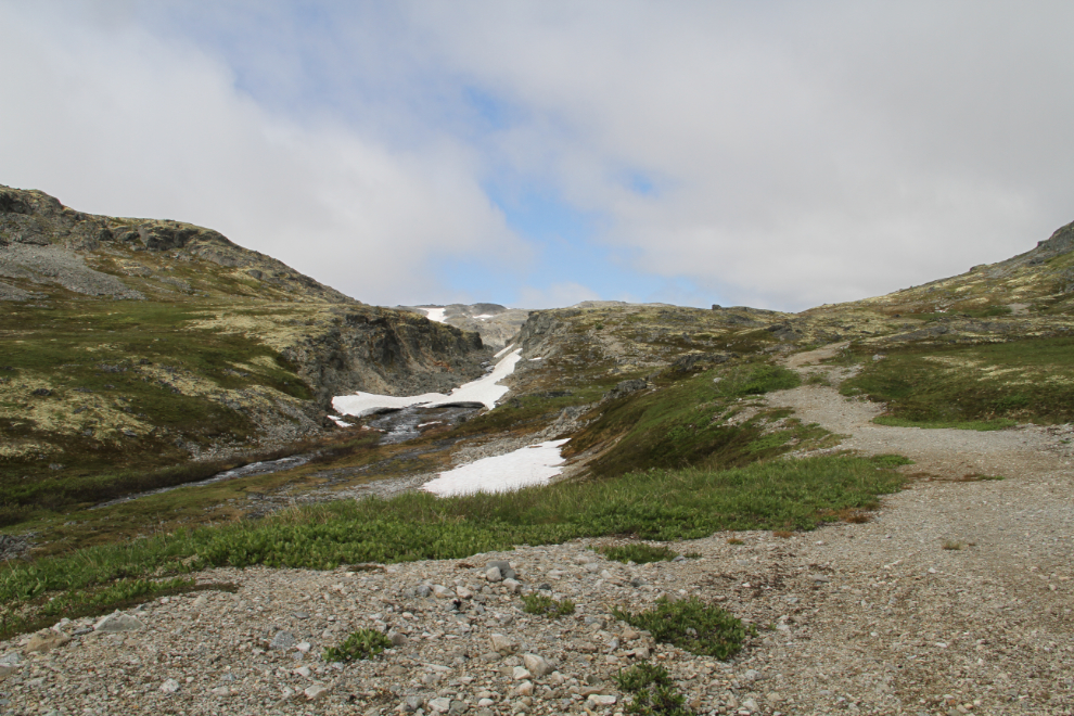
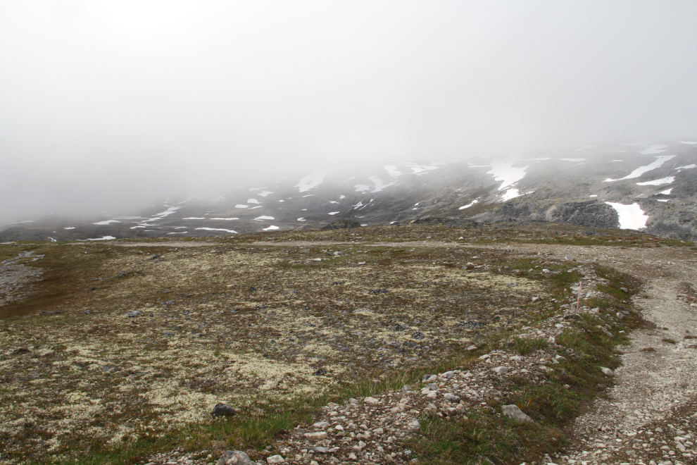
Looking back towards the highway. The light-coloured lines towards the upper right were on my list of places to hike to – they had intrigued me for decades.
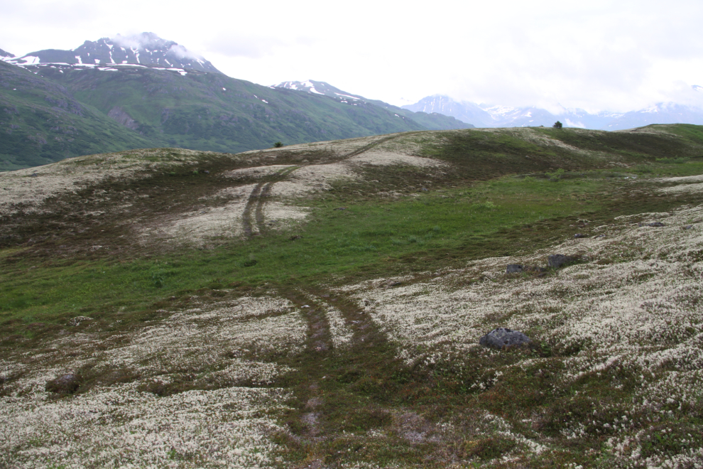
This ATV trail leads towards the Clayton Creek valley. It was 8:15 when I shot the next photo, and we turned back a few minutes later. Shortly after we got back to the RV, Greg arrived to join us.
Clear Creek Terraces
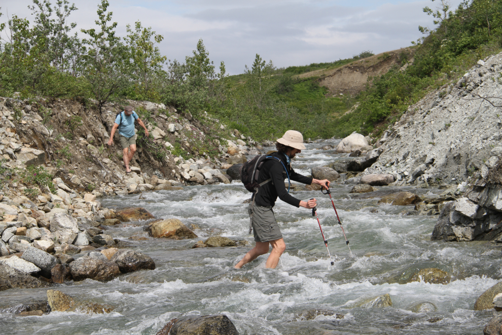
The weather wasn’t great on Saturday morning, so I suggested that we keep our elevation low for the first hike. The terraces that I mentioned above, which I’m calling the Clear Creek Terraces, would be perfect. The route starts with a crossing of Dick Creek, beside the highway just above the spot where it joins Clear Creek. We got off to a late start – the next photo was shot at 11:40.
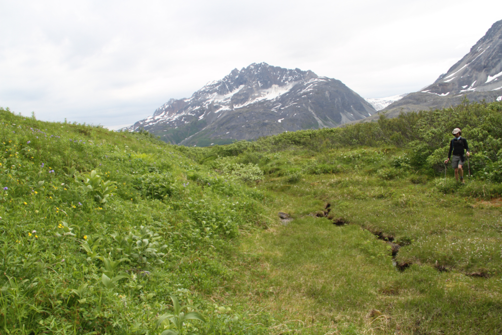
Gaining some elevation, the peaks called The Three Guardsmen seem to be even more impressive than they are from the highway.
The ascent was more difficult that I had expected, with a lot of brush to navigate around or push through, and some deep gullies that aren’t seen from the highway. Once we reached the terraces, this willow ptarmigan Lagopus lagopus spent a couple of minutes leading us away from her chicks.
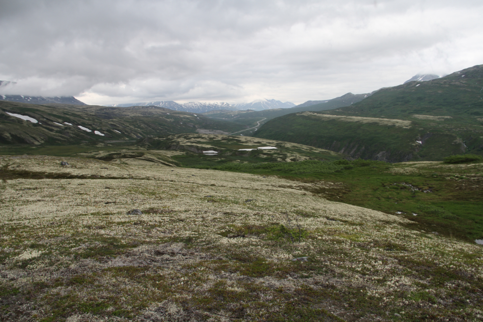
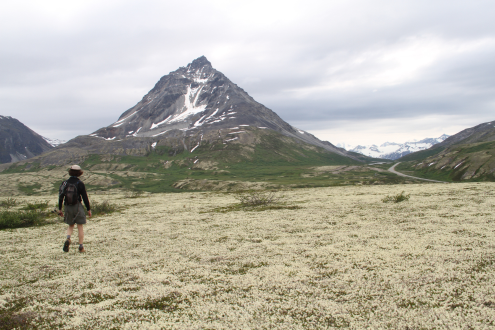
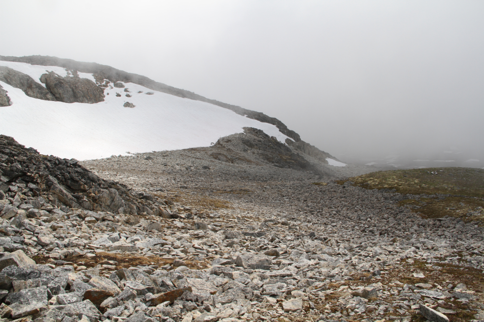
The Clear Creek Terraces, at 1:20. They are clearly what I had expected – beach terraces from one of the post-glacial lakes that have covered the region. The main one, seen in the next photo, is almost 2 km long and up to 200 meters/yards wide.
We made an attempt to get higher, to some alpine lakes and possibly glaciers that show on the topographical maps. Thick, high brush stopped us on each possible route, though. There were some lovely spots between the brush, though, and wild flowers of many types were abundant.
That had been an interesting hike. I won’t go back to the terraces, but the high-alpine lakes and possible glaciers still intrigue me, and I’ll keep looking for a good route to them.
Kelsall Lake
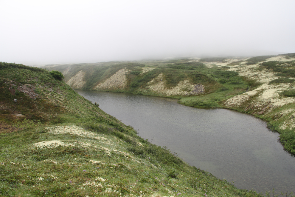
After dinner, with deteriorating weather, we drove out towards Kelsall Lake, a few miles north of the summit, and about 5 miles east of the highway. The road runs down an impressive glacier-carved valley. This photo was shot at 8:20 pm.
We got stopped by this washout, and a fairly deep creek crossing just beyond. In dry weather, the Tracker could handle this, but it was very wet and sloppy.
Just after we got back to the RV, all hell broke loose weather-wise, with high winds and torrential rain. When I took the next photo just before 06:00 on Sunday, there was a misty rain and near-zero visibility. This wasn’t in the forecast 🙁
The rain stopped at about 10:00 and with low clouds, I suggested that we go for a look at a small lake hidden just north of our camping spot. We could have walked to the best access route, but took the lazy way.
On a dry day this would be a really nice hike, but the very thick reindeer moss quickly soaked us.
It only took 15 minutes to reach this view of the unnamed lake. Very nice. I definitely will come back here on a nice day.
Hiking back to the highway. Greg and I went back to the car, while Ryan went cross-country to the motorhome. We all arrived back at about the same time.
Tina Creek Communications Tower
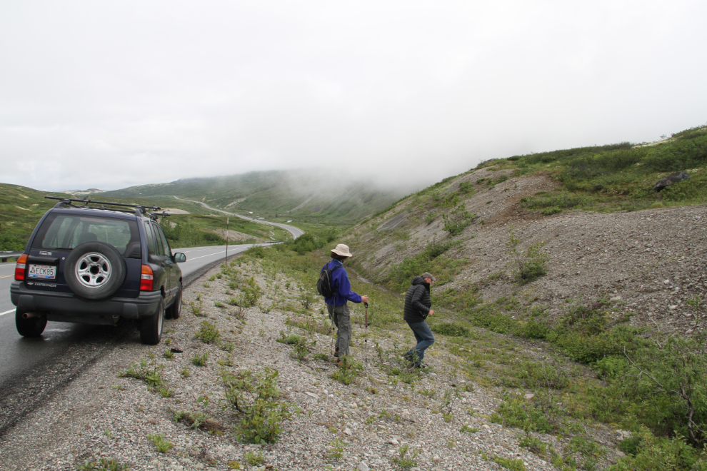
With the weather improving very slightly, we decided to try for the communications tower located on an unnamed mountain right above us. We left the car at 11:35, and by noon we were well on our way up the old road that leads most of the way to it (the tower is now maintained by helicopter).
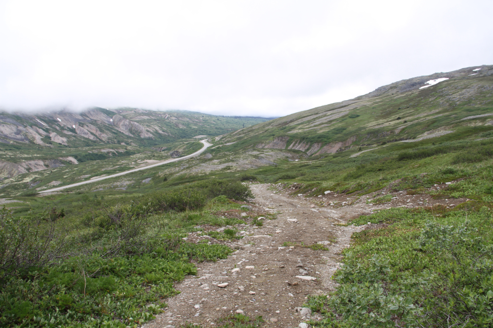
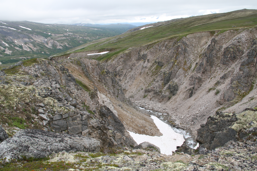
The road follows Tina Creek up for the initial fairly steep climb from the highway, and then as it nearly levels out. Tina Creek isn’t visible very often, but we went over the have a look at its small but dramatic canyon at 12:35.
Even in late July, winter isn’t far away this year.
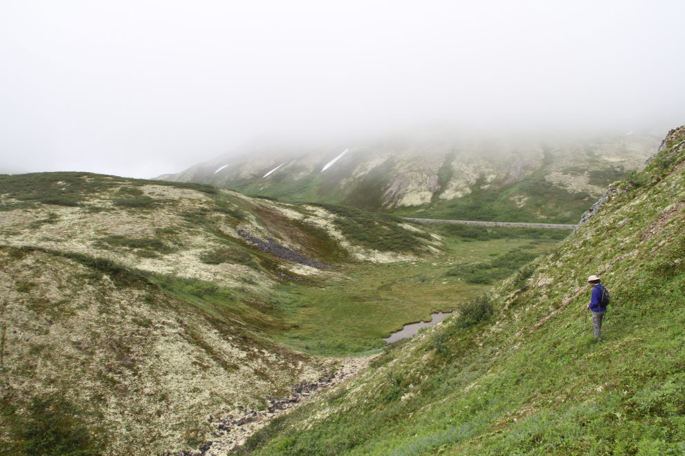
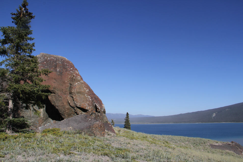
Just past the canyon seen above, the road starts climbing again, though the grade is generally not very steep. There are some wonderful rock formations at one point. The weather had been really erratic. Just after I shot this photo at 1:00, a really nasty rain storm moved into the valley behind us, and I was afraid that we were going to hit with a storm like the one that hammered us the night before. Luckily, it dissipated before hitting us.
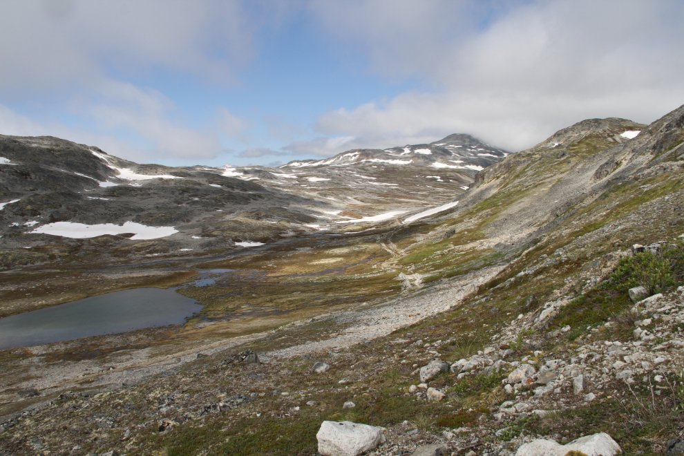
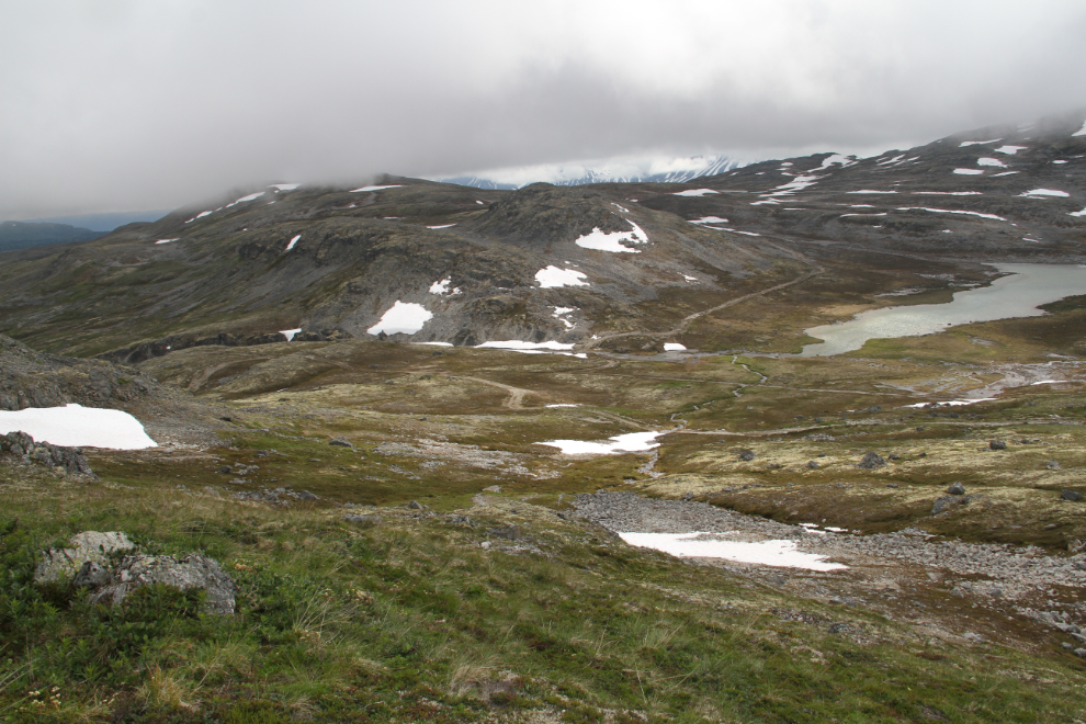
Three mining roads led off the one we were on, and there were several small lakes. Regardless of how the rest of this hike went, I knew that I’ll be back to do some more exploring here.
The summit where the communications tower is located was always in cloud, and at 2:15, we were about to enter the clouds as well, at about 4,500 feet elevation.
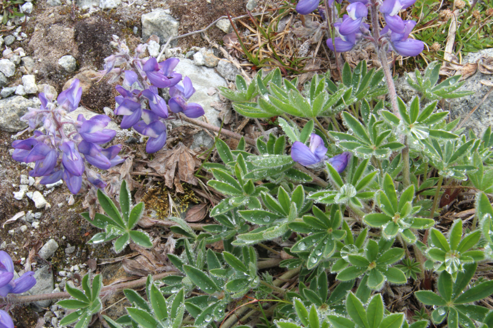
There were lots of wildflowers all along the trail, and the leaves of these Arctic lupine gathered some of the moisture from the clouds.
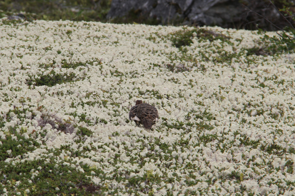
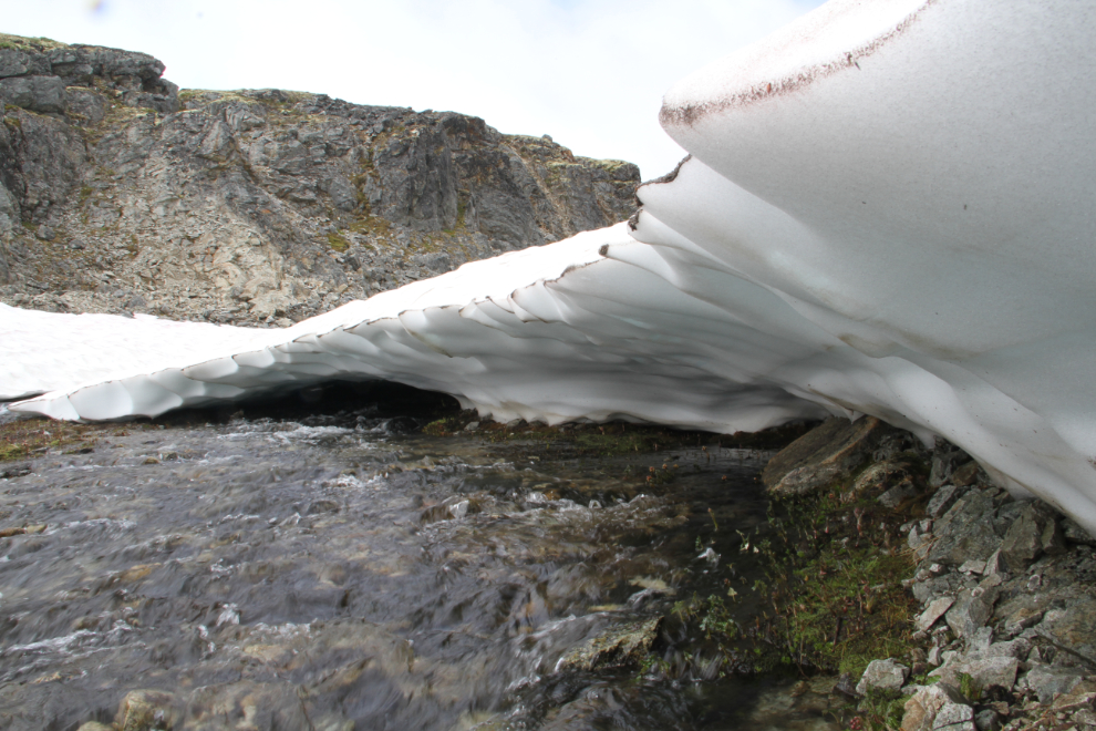
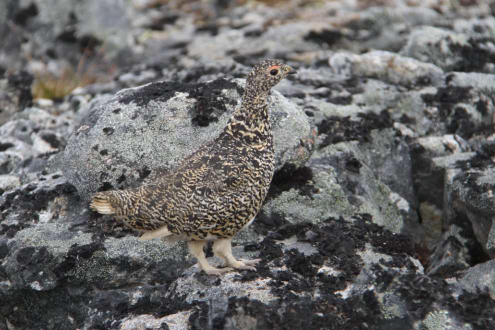
The road ends and a few orange stakes mark the general route to the tower from there. There were some large snow patches, one of which we had to cross. Postholing into it is always a possibility, but the snow was luckily still firm enough to hold us. Just past that snow, this ptarmigan let us get quite close. I don’t think they see many humans.
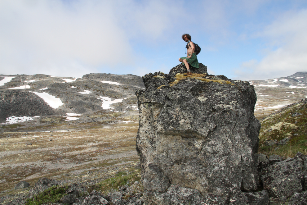
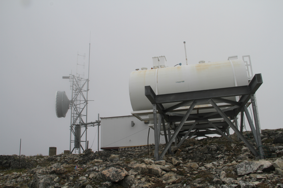
We reached the summit at 2:55 – 3 hours and 20 minutes from the car, but we’d stopped a lot. The communications tower setup consists of the tower, 3 fuel tanks, and a large shelter for workers. The view on a nice day is no doubt spectacular.
Heading back down.
We angled steeply down the hillside rather than take the long road route back.
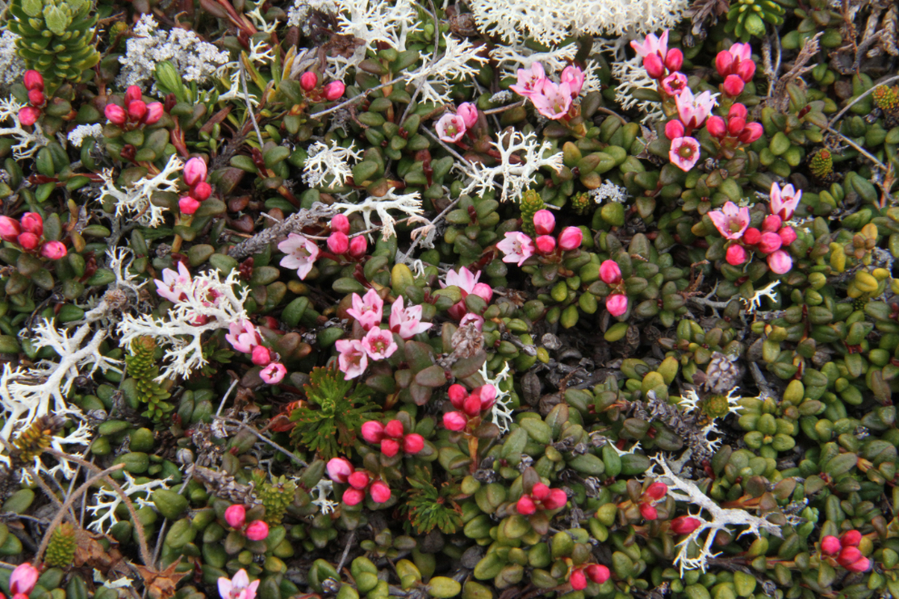
Heather and reindeer moss.
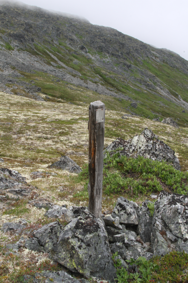
Just above the canyon we had stopped at, I spotted a mining claim post and went for a look. The last number of the year on the tag was missing, but it was done in 1970-something, by J.P. Craft.
I had seen a very impressive canyon on Tina Creek when I climbed up to a cirque below The Three Guardsmen last year, and made a detour for a close look at it. Yes, it certainly is impressive!
We got back to car just after 5:00 – just under 2 hours from the summit. Back at the motorhome, I pulled out the barbecue and grilled up some hamburgers for our dinner. The lazing around in the sunshine that we’d hoped for didn’t happen, though.
Monday morning was very dreary, with thick fog and a misty rain. I was sure that there was sunshine not too far away, and had to get out of there. I though about packing up the motorhome and moving camp, but with no idea whether the sunshine was 10 miles away or 100, decided to just take the Tracker.
Kluane Lake
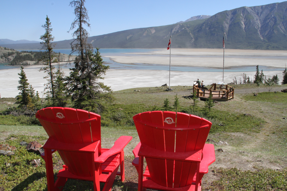
We had to go almost to Haines Junction to find the sunshine and then decided to keep going out to Klane Lake for the day’s hiking. We started at the Soldier’s Summit Trail, where Parks Canada has set up a couple of Red Chairs.
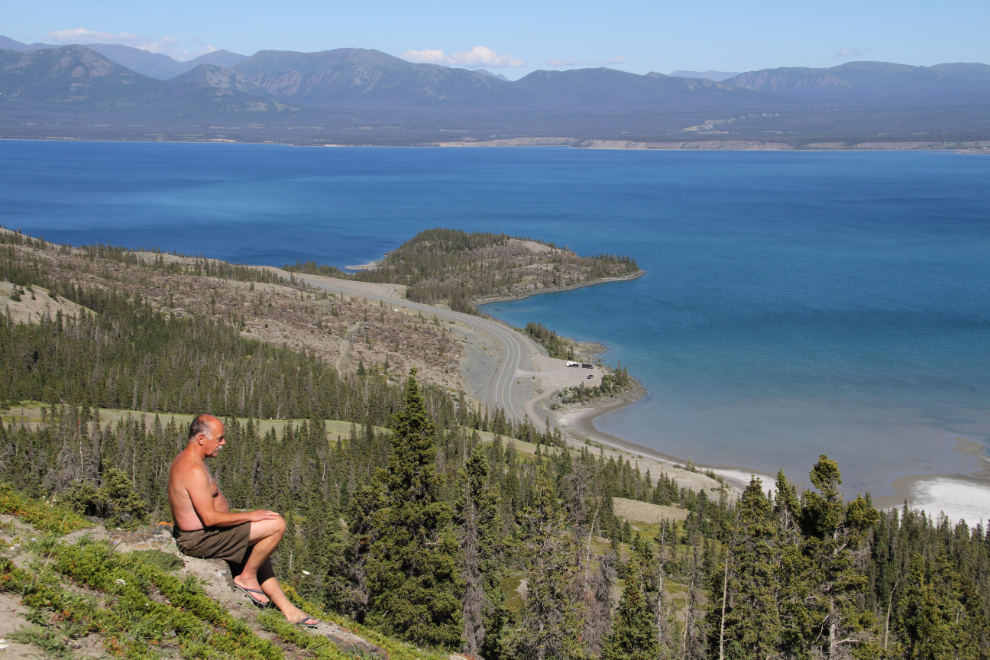
We decided to keep climbing up Sheep Mountain above Soldier’s Summit. That offered great views of the Slims River Flats as well as the lake.
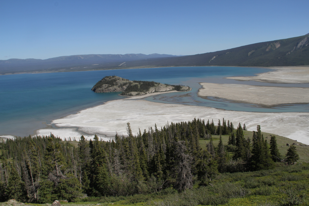
This was what we had expected a lot of on this trip, and we stayed at this spot for a long time before going back down.
I hadn’t yet explored the former Fish Heart Island (with the new, lower lake level, it’s no longer an island), so that was our next destination.
The summit of Fish Heart Island offers wonderful views, and although we didn’t see anyone else, the trail to it is quite well travelled.
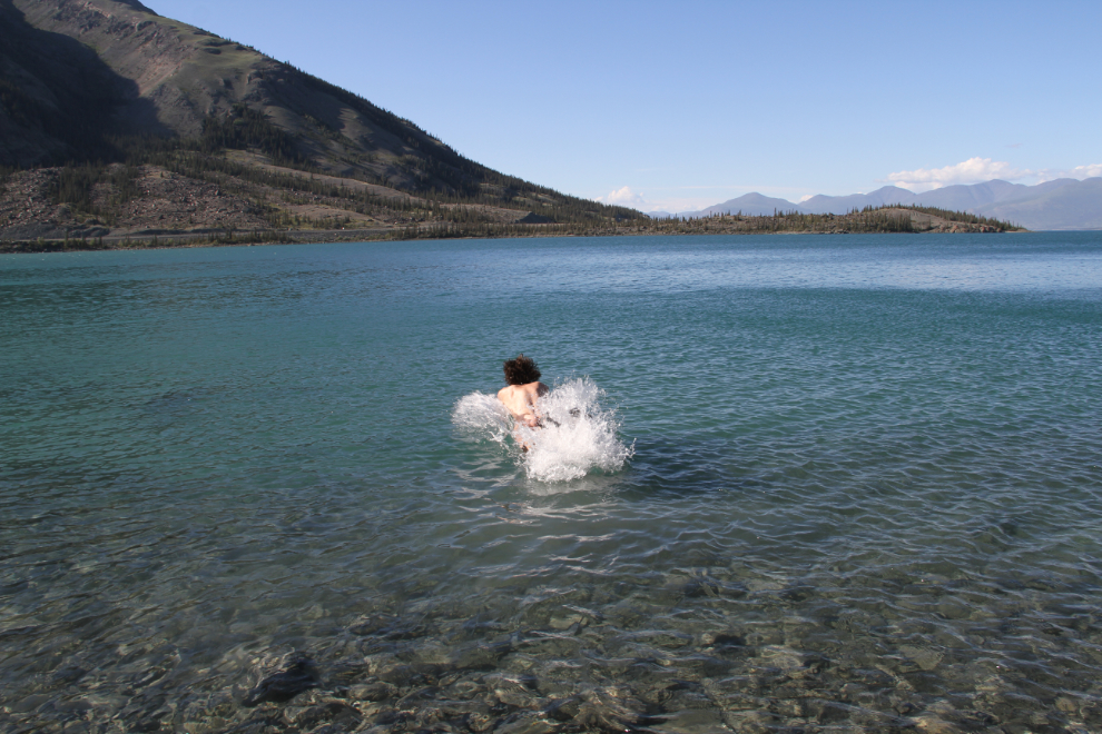
A quiet bay on the north side of Fish Heart Island offered a great place for a dip. A very quick dip – Kluane Lake never warms up!
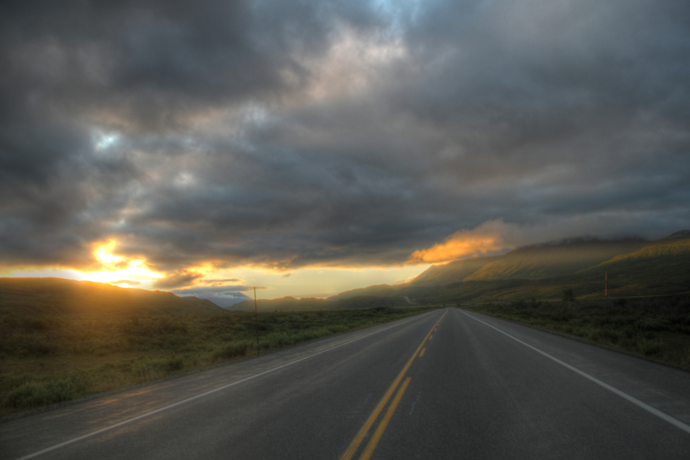
The water pump in my motorhome had died, and the guys wanted to get cleaned up, so we went to the swimming pool at Haines Junction, where nice showers are available for $2. Then, we had a good dinner at Frosty’s before heading back on the Haines Highway to our camp at the summit. At 10:05 pm, we were nearing a wall of cloud.
The view back to the north at 10:20.
St. Elias Lake Trail
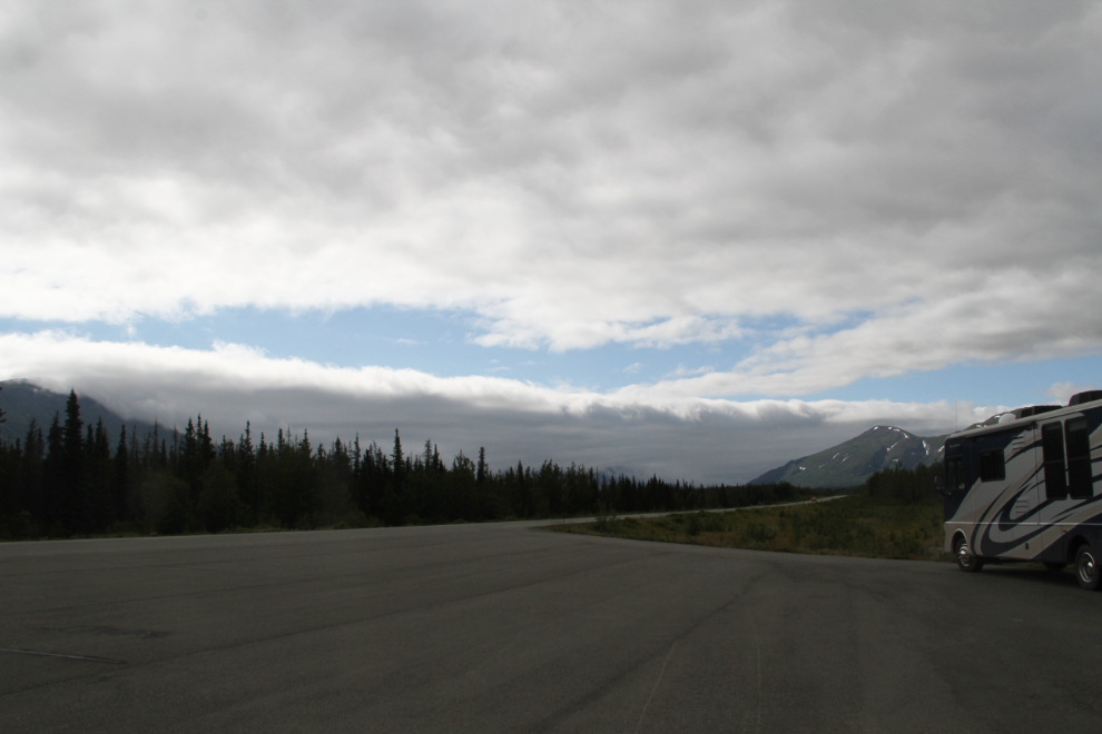
With fog totally enveloping our camp again on Tuesday morning, I opted to move the motorhome north as far as necessary to get out of it. We stopped at the St. Elias Lake trailhead in Kluane National Park, and made breakfast, with the wall of cloud just to the south of us.
The St. Elias Lake trail is 7.6 km (4.8 mi) return, with a 120-meter (400-foot) elevation gain. That would be a nice way to start the day, regardless of how the weather went.
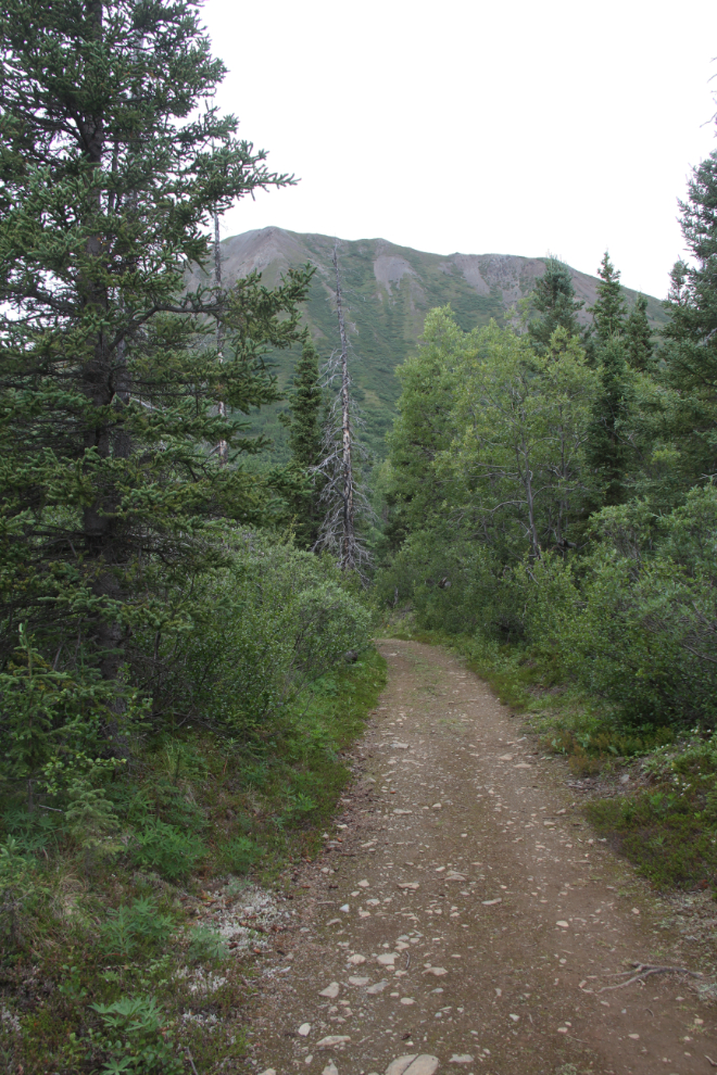
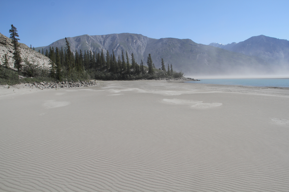
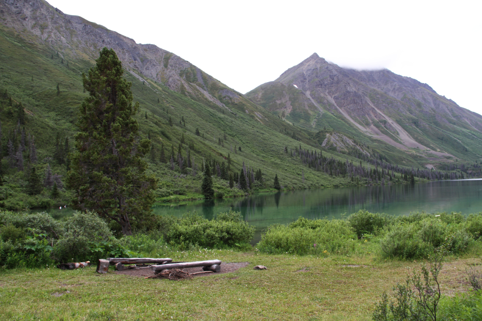
St. Elias Lake is lovely. There are 4 tent pads, a food cache, and an outhouse at the lake. The crystal-clear water is very cold. A large meadow makes me think that there used to be some sort of commercial activity here – probably mining exploration.
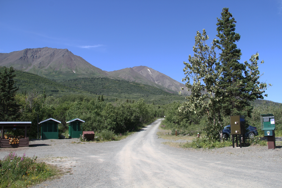
After the St. Elias Lake hike, we kept going north towards the blue skies we could see. At Dezadeash Lake Campground, I set up camp, as there are a few trails close by.
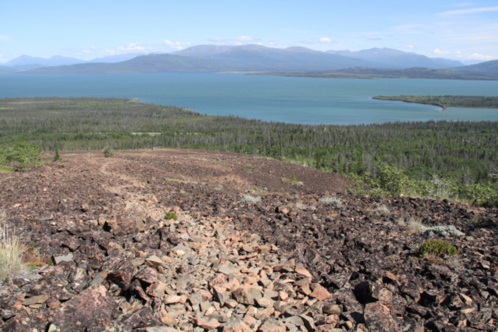
We ended up spending the rest of the day on the Rock Glacier Trail. We hiked far above the interpretive area where most people turn around, and laid in the sun enjoying the view.
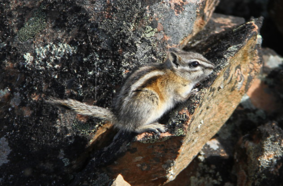
This little guy seemed to be enjoying the sunshine, too 🙂
Back at Dezadeash Lake Campground, a screaming wind limited our enjoyment of the sunshine that evening, but it was still a huge improvement over our summit camp.
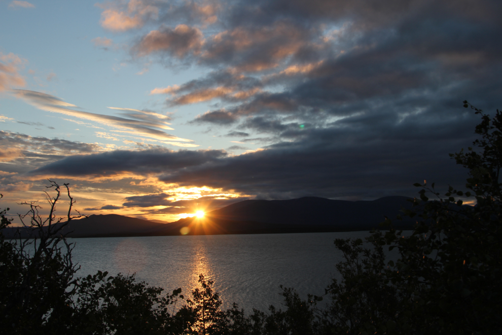
Wednesday morning, 05:56 – sunrise over Dezadeash Lake. Although that looks like a nice day was coming, the sun was actually just peeking through a small hole in a cloudy sky. Greg and Ryan had to get home, and left for Haines quite early. I left soon after, and was home by about 11:00.
I only had one full day at home before hitting the road again. On Friday evening (July 28th), Cathy and I headed north. I’m finishing writing this blog 5 days after the hiking trip ended, and I expect to be able to post it when we reach Dawson City this afternoon. This current trip has and will take us to Mayo, Keno, Dawson, and up the Dempster Highway possibly as far as the Arctic Circle before Cathy flies home from Dawson. After she leaves, I’m going to keep exploring for another week or so – destination(s) unknown at this point.