Days 3/4: Exploring Bryce Canyon, Utah
When I left off yesterday, I’d crossed into Utah at 3:10 pm, headed north on U.S. Route 89. Travel was much slower than I expected due to the many photo ops that kept presenting themselves. But Bryce Canyon, another of my Bucket List destinations, was tonight’s goal.
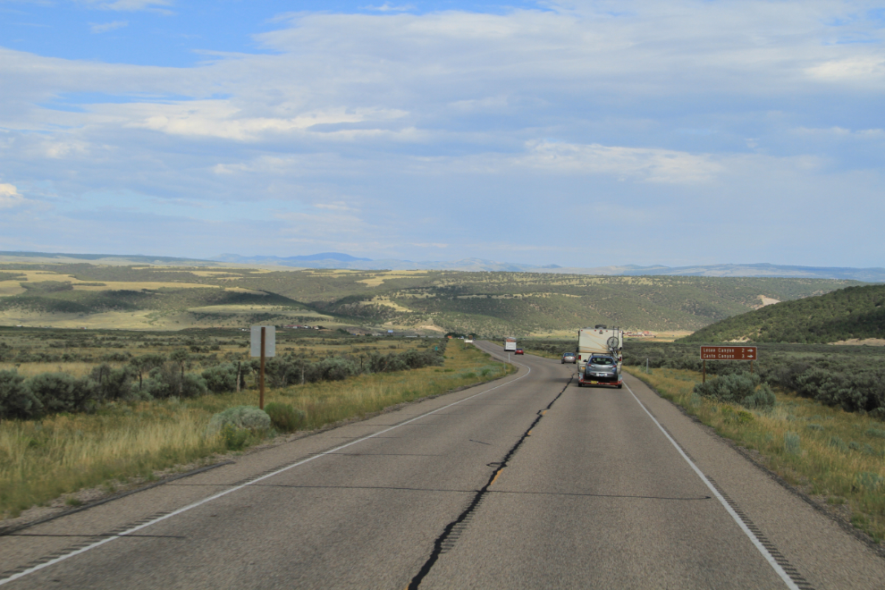
This impressive butte is about 3 miles north of the Arizona/Utah border.
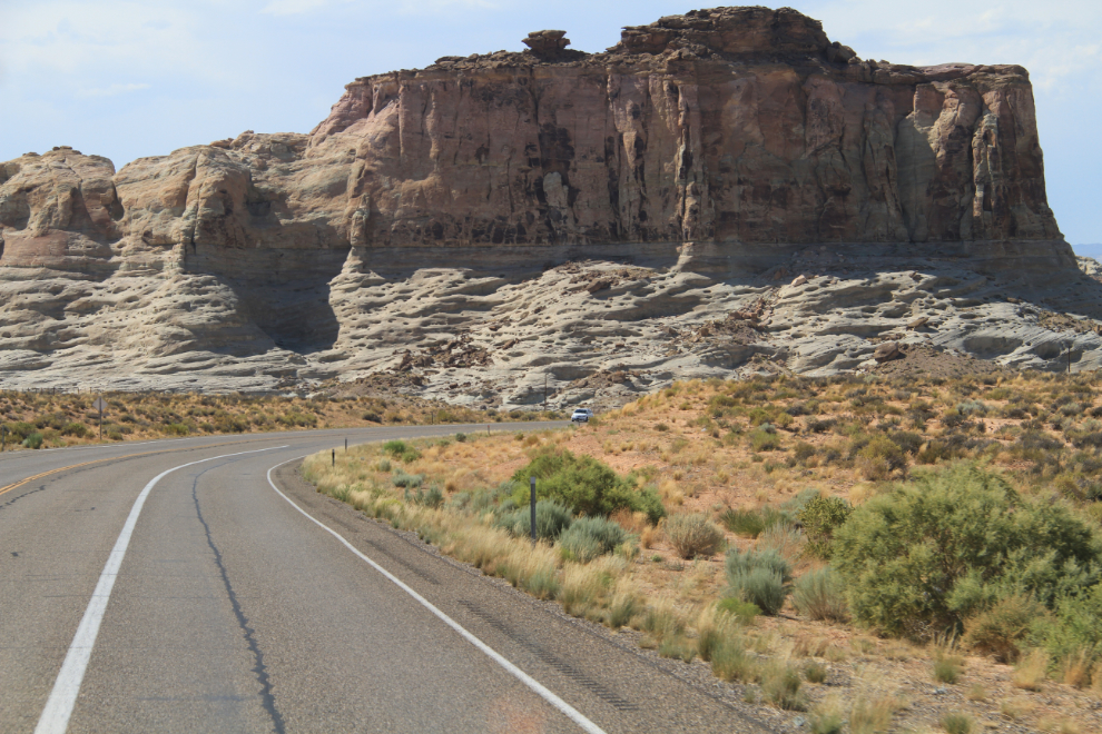
Rest areas or pulloffs of any kind had been a rare commodity so far, and I never passed one up. This one would certainly have gotten me to disconnect the 4×4 and go exploring if I had the 4×4 in tow and had the time. It describes the community of Pahreah, which was first settled in 1865, on the Paria River a few miles north of this pullout. As well as the remains of that town, you can also visit a recreated pioneer town used for western movies.
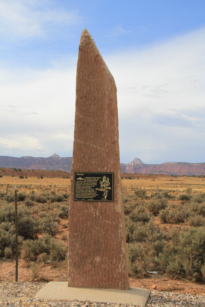
Looking west towards Kanab at 4:06 pm.
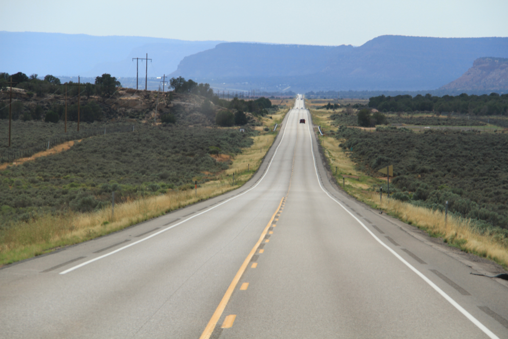
I was following my Garmin GPS, and didn’t question when it said to turn off Route 89 and head north on Johnson Canyon Road. It looked like a reasonable idea at this point.
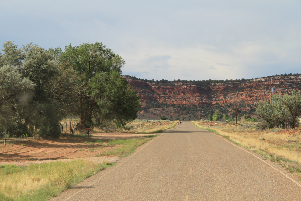
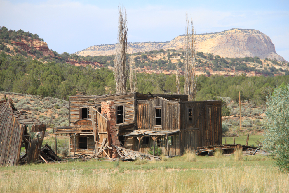
One of the ranches I passed had its own ghost town with a half-dozen buildings.
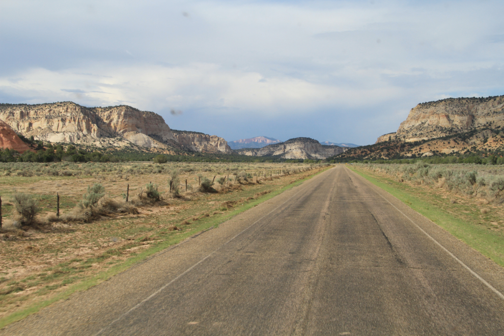
Mile after mile, I was the only vehicle on the road – since that’s the norm in the Yukon, I didn’t even notice it except in retrospect – and the scenery was wonderful.
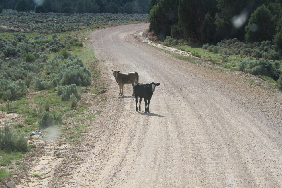
When the pavement ended at 4:30, I began to question Garmin’s wisdom, and when cattle started to appear on the road, I knew that I’d been led astray. On and on the road went, up and down across the low mountains, though I kept wondering when it was going to end at a rancher’s gate in the middle of nowhere, or worse, if it just gradually petered out to nothing.
Finally the pavement did reappear, and a couple of minutes after 5:00, it seemed pretty clear that I would be back on a highway shortly. Yes, Route 89 was down in that valley, and I got back on it at the town of Glendale.
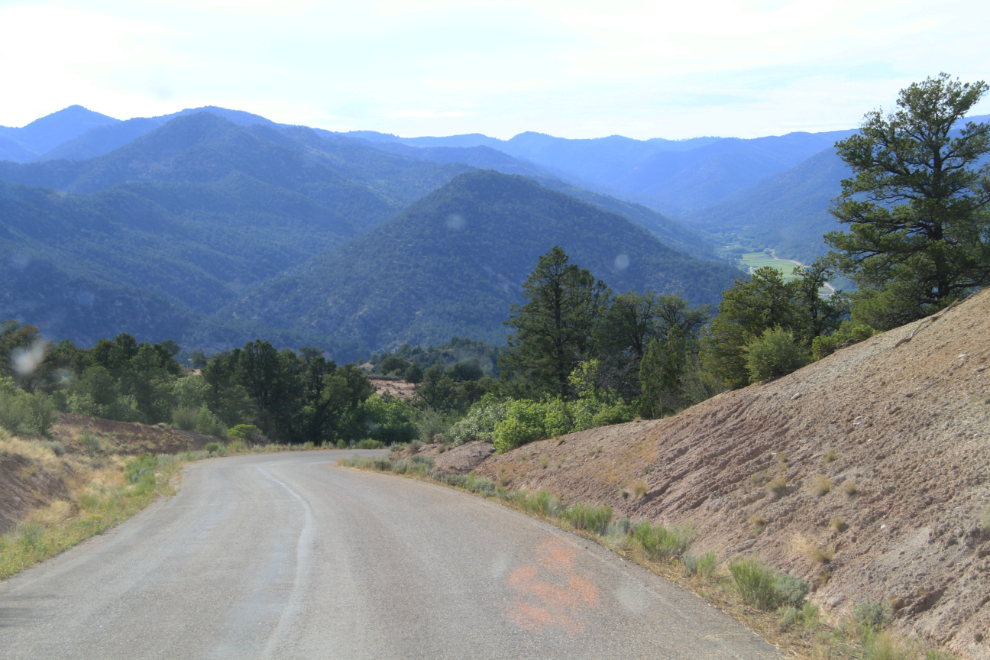
At 5:45, I was on State Highway 12, also known as “Highway 12 — A Journey Through Time Scenic Byway”, following signs to Bryce Canyon National Park.
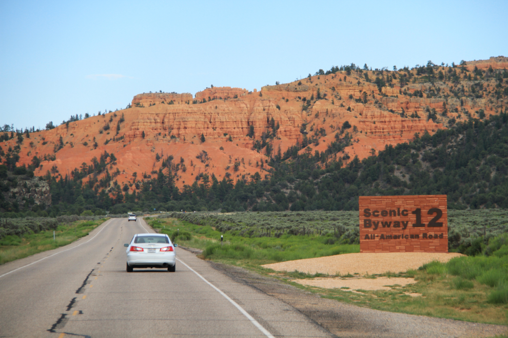
The first stop made by many travellers on Highway 12 is Red Canyon, which has an extensive trail system running through the spectacular pillars. I, of course, headed for the highest one, wearing my best trail-climbing flip-flops 🙂
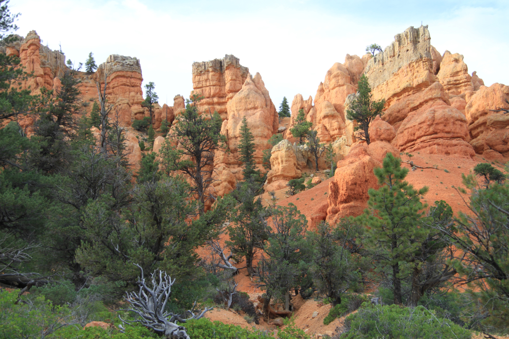
The Birds Eye Trail offers amazing views, and is a superb introduction to this country!
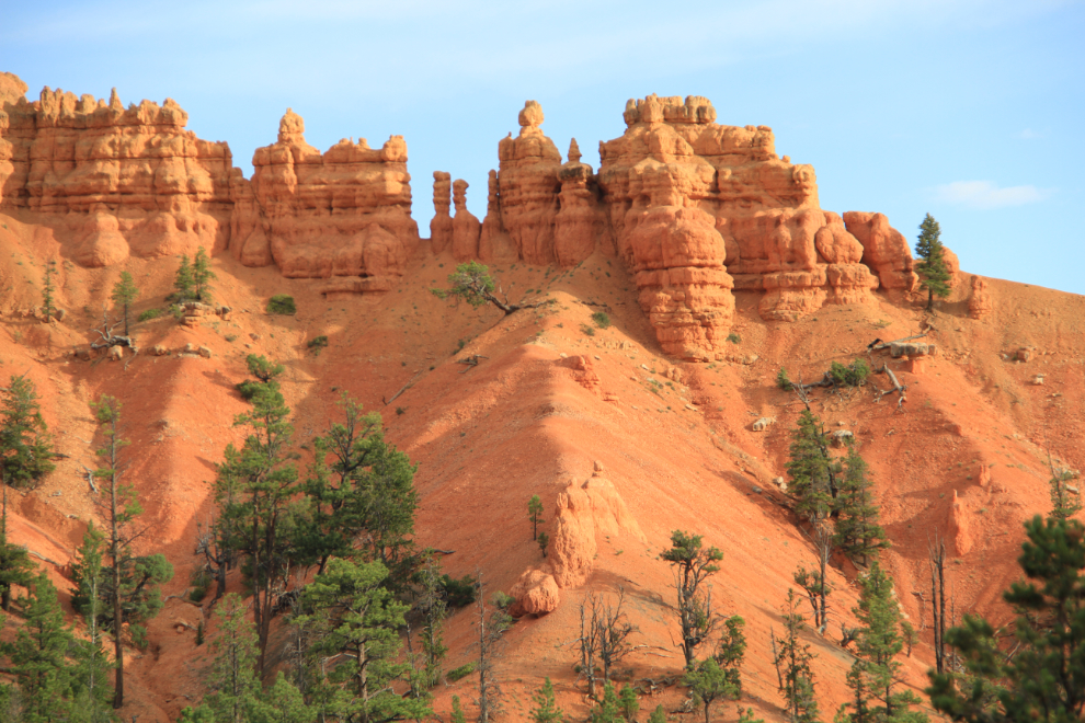
There were a few dozen people on the lower trails, but I had the high trail to myself. I was on my way back down to the parking lot when I met this young Italian couple heading up.
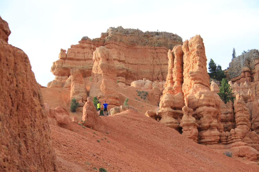
I spent about 20 minutes hiking at Red Canyon, then got back on the road to Bryce. There are two of these cool little tunnels on the highway.
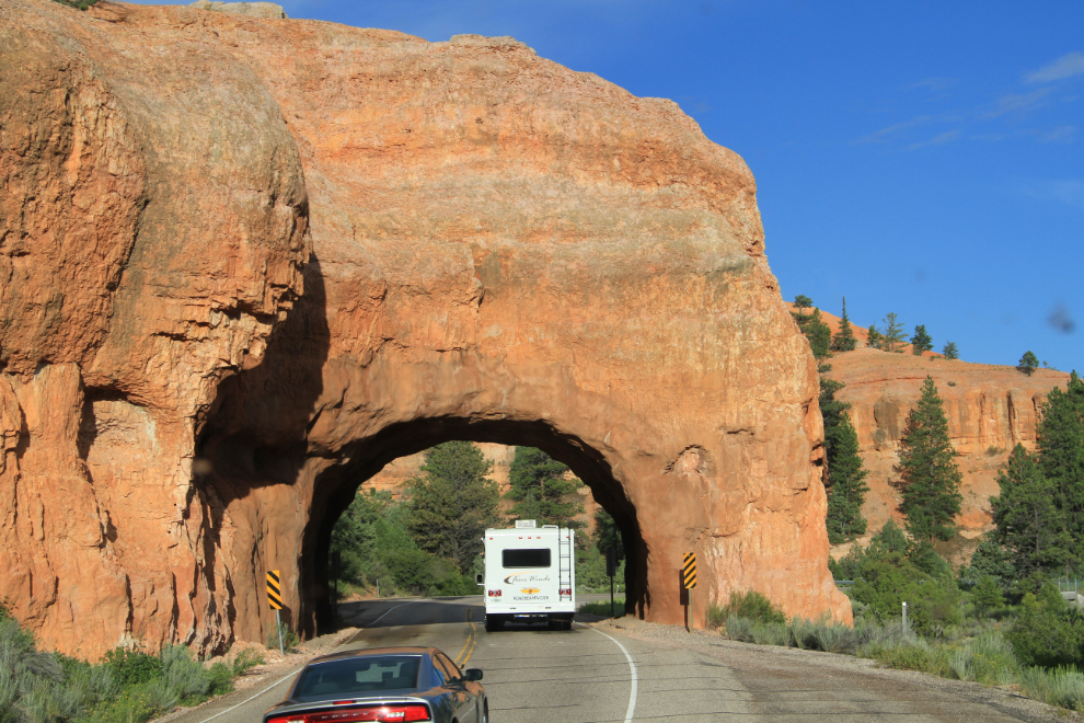
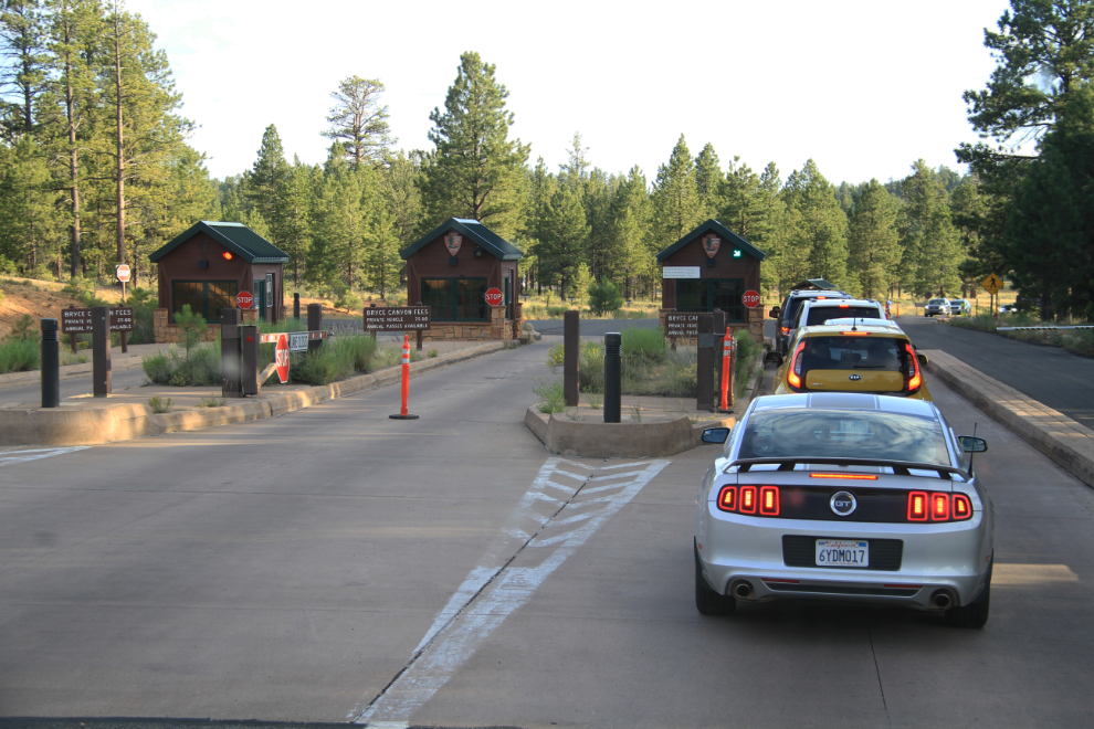
I passed through bustling Bryce Canyon City, with several large new hotels, restaurants, etc, and just before 6:30, reached the Bryce Canyon National Park gates. I paid my $25, asked about camping, and was told that 2 of the campgrounds in the park still had spaces available.
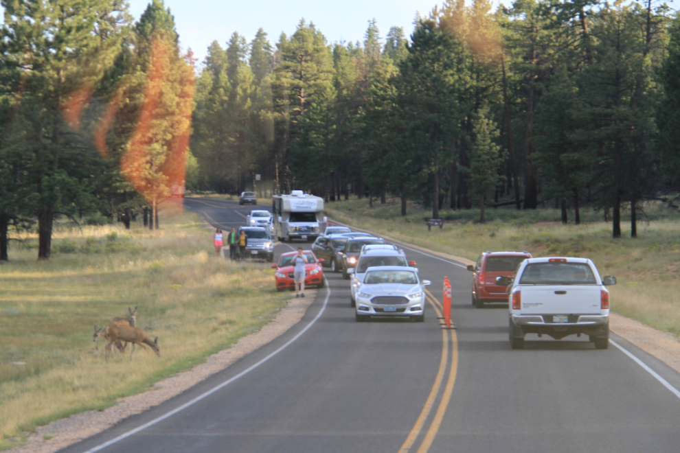
For nature-staved city folks, even deer can cause a traffic jam 🙂
At this time of the evening, Sunset Point seemed like a good place to start. The 4 RV parking spots were all taken, so I parked in one of the dozen bus spots, which were all empty but had large “No RVs” signs. The elevation at Sunset Point is 2,438 meters (8,000 feet).
The lighting wasn’t what I had expected at Sunset Point, but theres no question that the main Bryce Canyon amphitheatre is incredible. I played around with the lighting a lot, shooting the shaded areas…
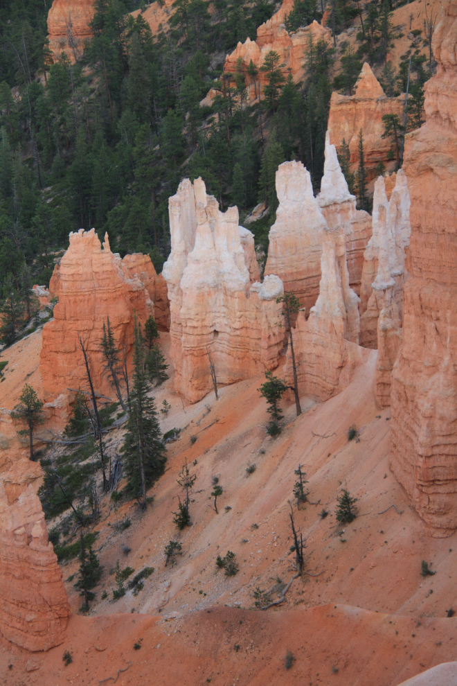
… the distant areas lit up by the setting sun…
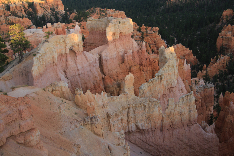
… and back into the shade. I took a few photos to create HDR images, but haven’t processed them yet.
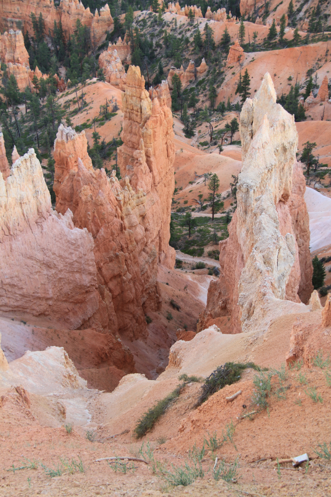
At 7:20, Sunset Point started to show its possibilities.
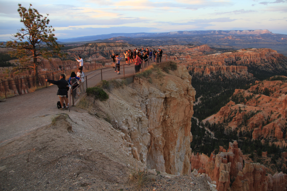

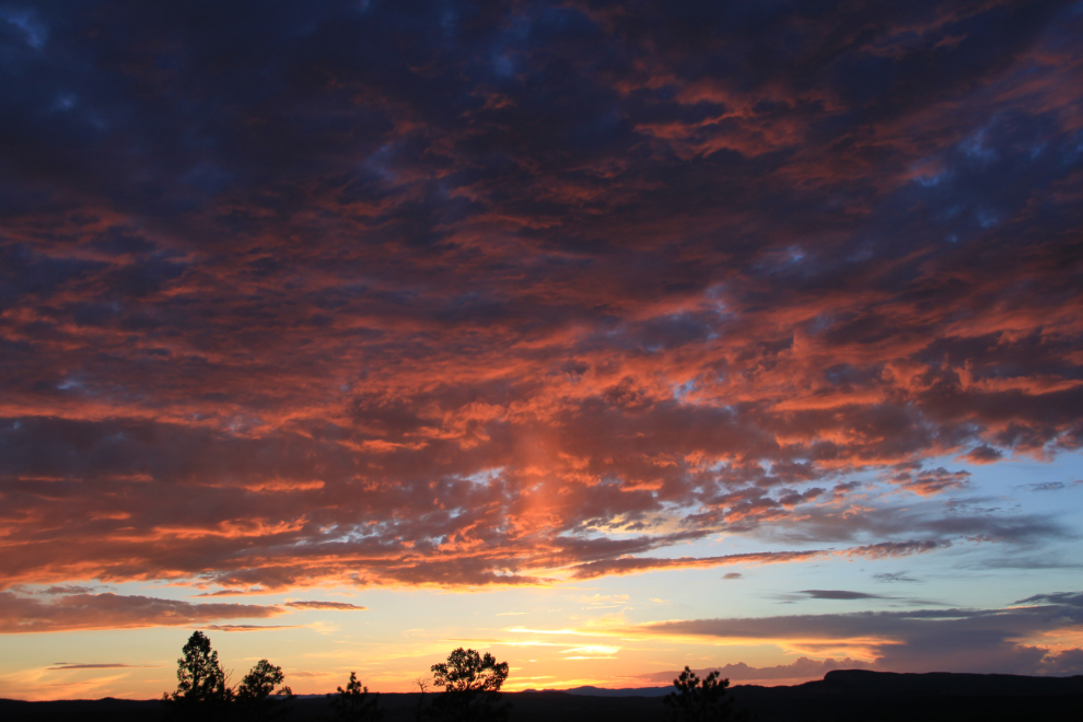
A glorious sunset, at 7:28.
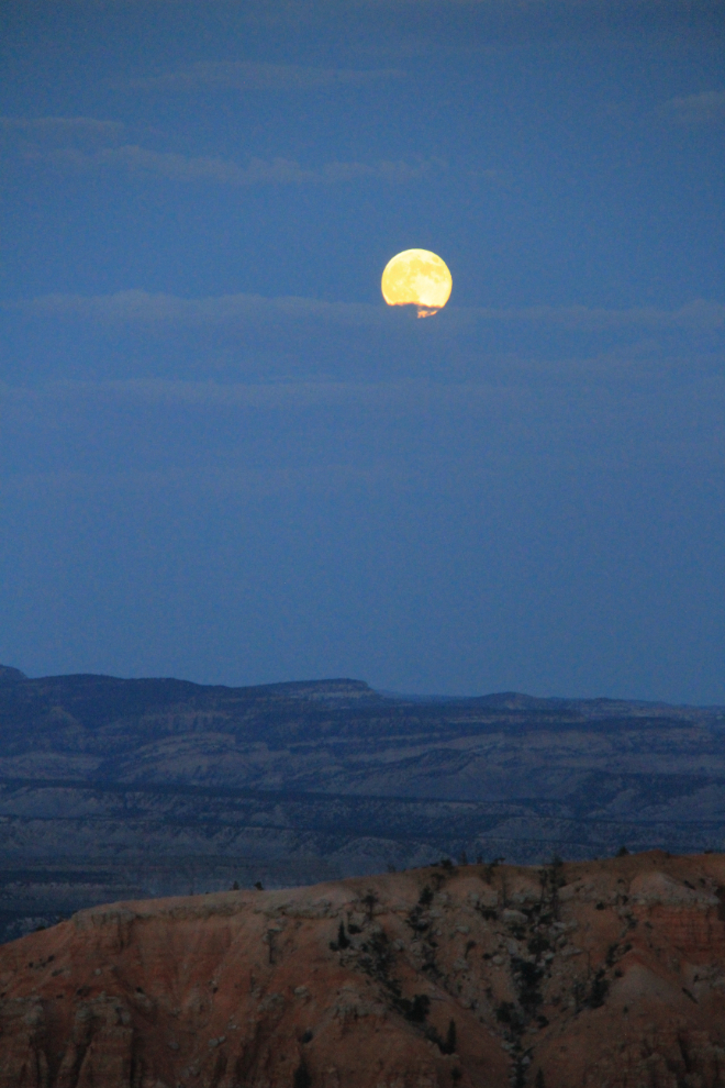
At the same time as the sun was setting, the full moon was rising.
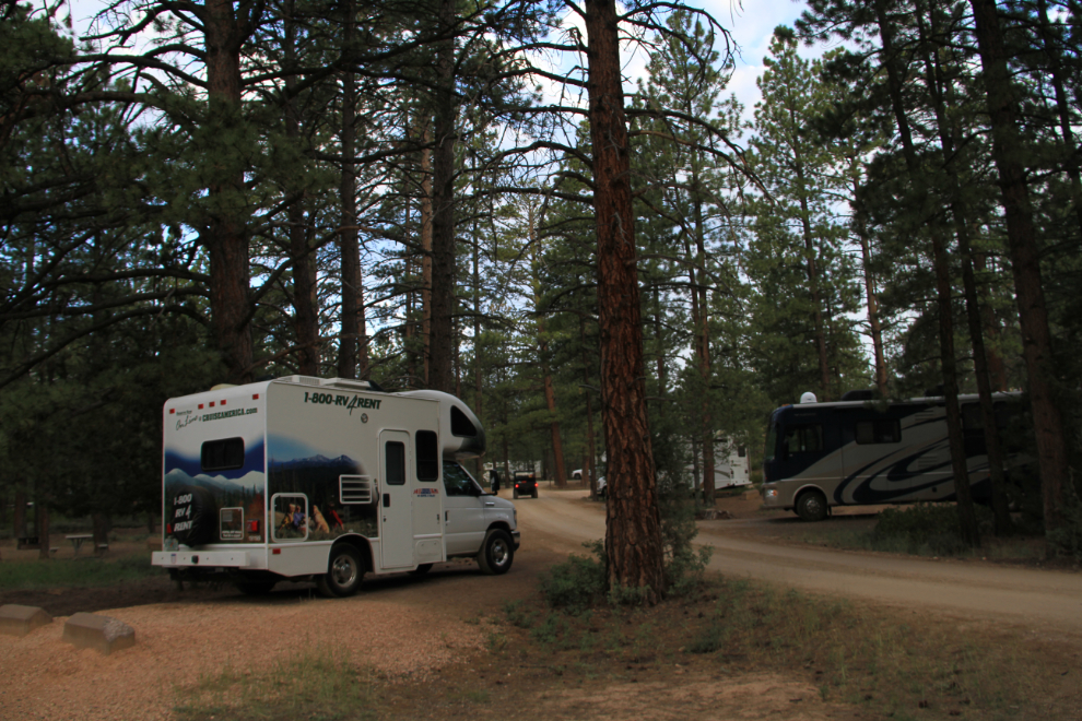
As darkness quickly descended, I drove back to Sunset Campground, which has 100 RV and tent sites, found a site, walked back and paid the $15 fee, and soon after I got the rig settled, was sound asleep. I shot this photo at 6:10 Monday morning as I was getting the day started. Because this was such a rushed trip, I didn’t do any cooking or even making coffee in the motorhome – it was just not a good use of my very limited time.
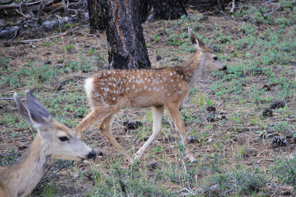
I laughed about yesterday’s “deer-jam” on the road in, but I stopped for a spotted fawn!
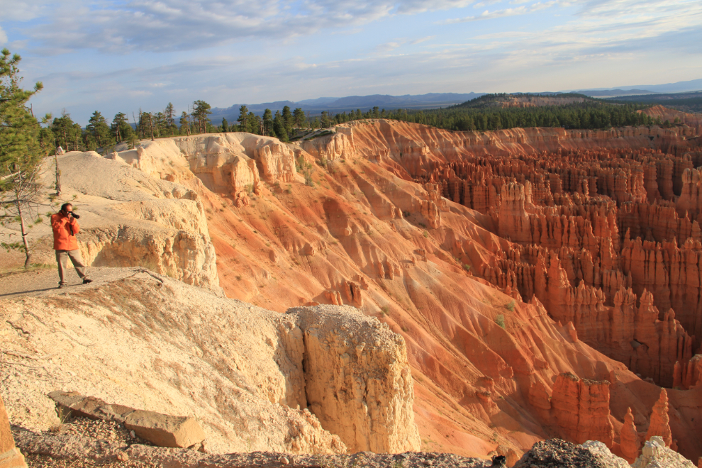
I went to all 3 major viewpoints around the amphitheatre this morning. The light at sunrise is definitely more photo-friendly than at sunset.
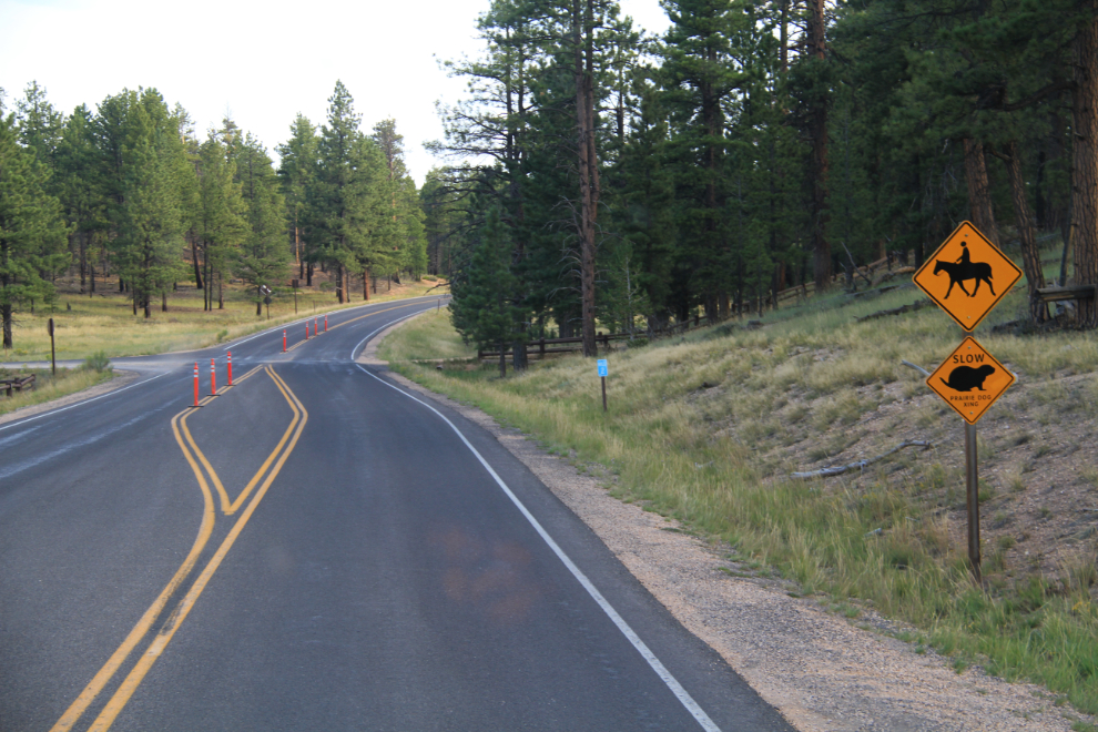
I started to leave just before 7:00, then decided to spend some more time. This horse-and-prairie-dog-crossing caught my eye as I was looking for a spot to turn around.
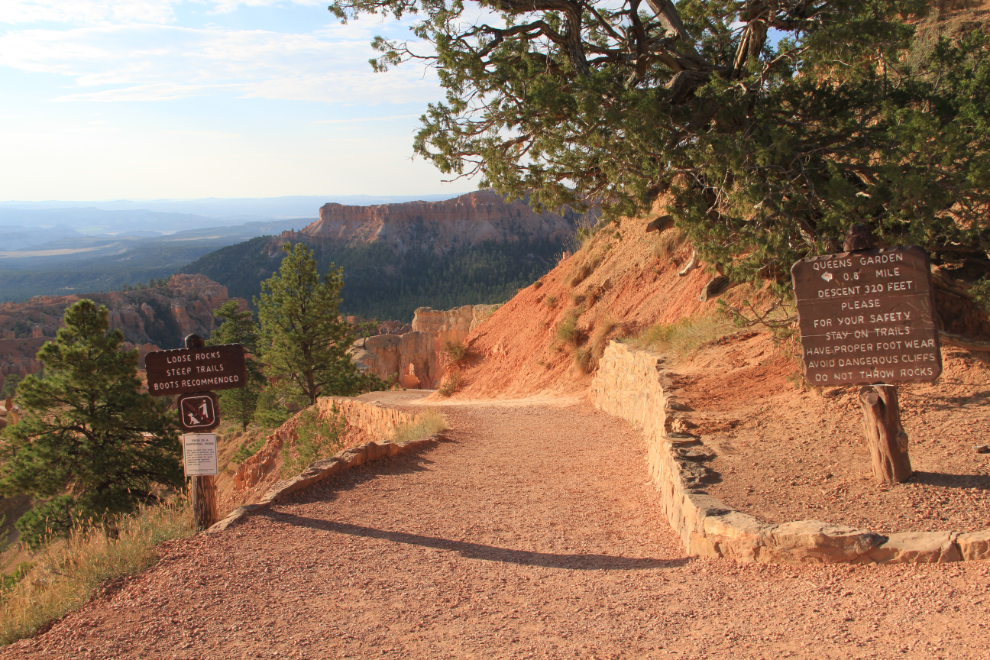
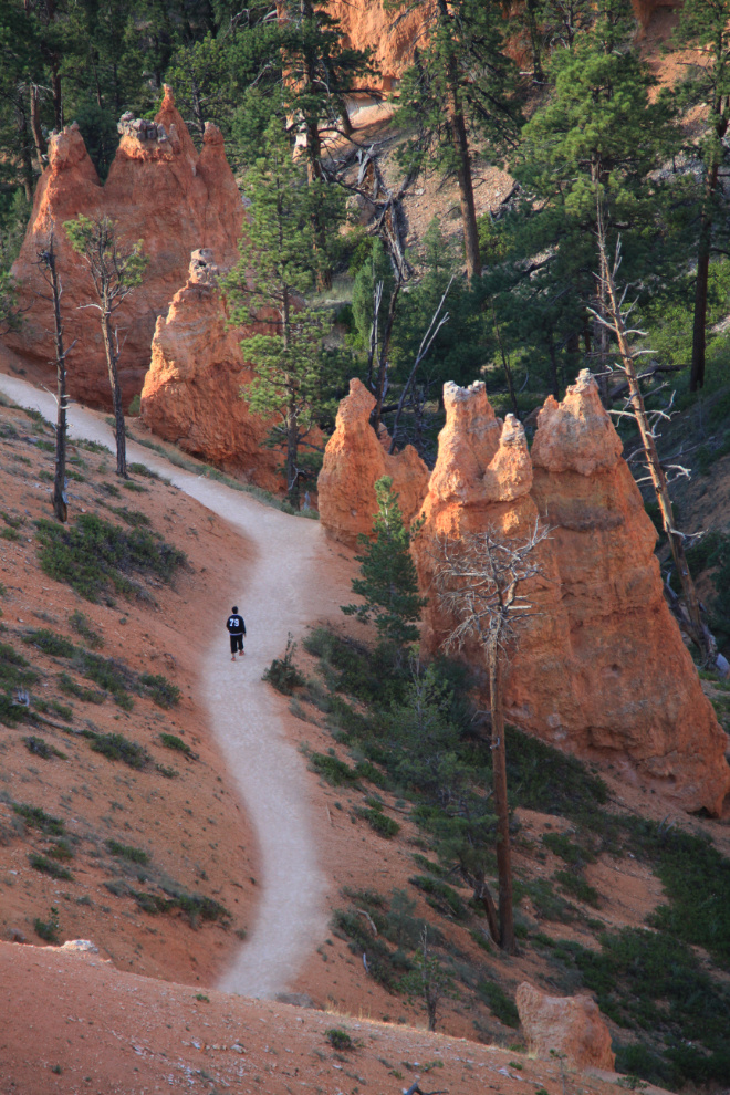
The main reason for going back was to hike down into the amphitheatre a way on this trail. Despite all the signs warning about the hazards, it’s a major trail with no hazards by my standards.
Yes, hiking down the trail was a very good idea!
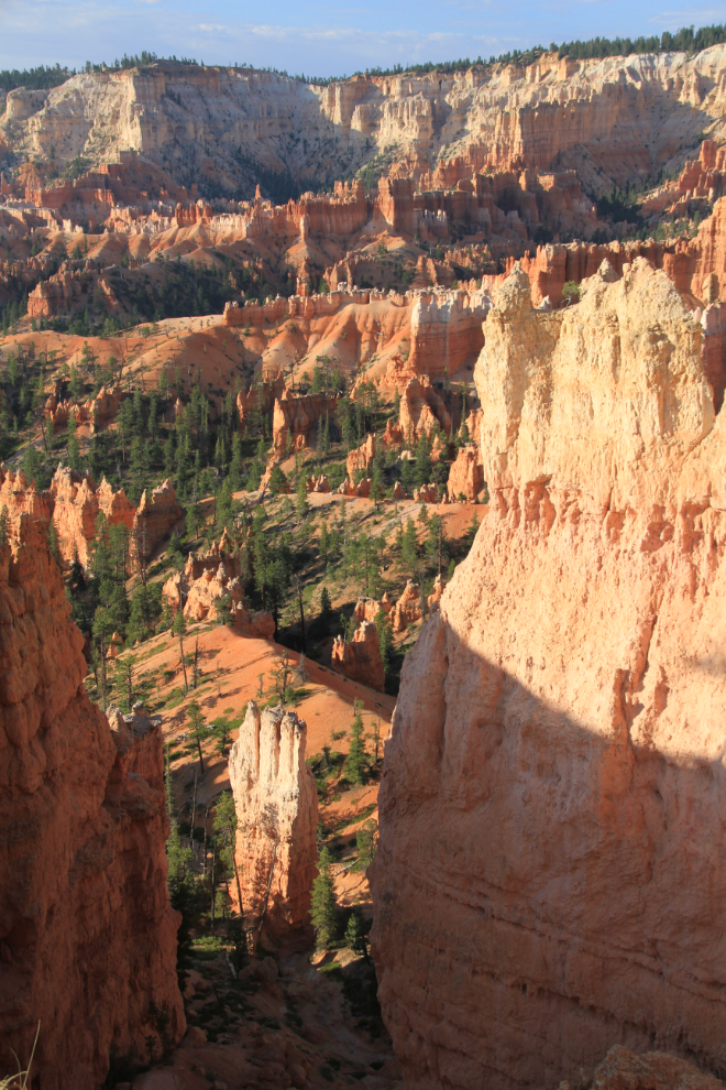
I had the trail almost to myself on the way down, but it started getting quite busy just after 7:00 am.
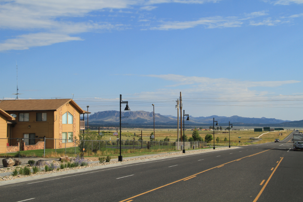
At 8:05, I was through Bryce Canyon City, with getting the export/import of the motorhome done my next major focus.
Approaching Red Canyon from the east.
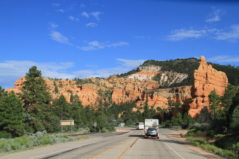
By 8:20 am, the red rocks were just a memory, and I was looking forward to whatever might present itself along the road.
