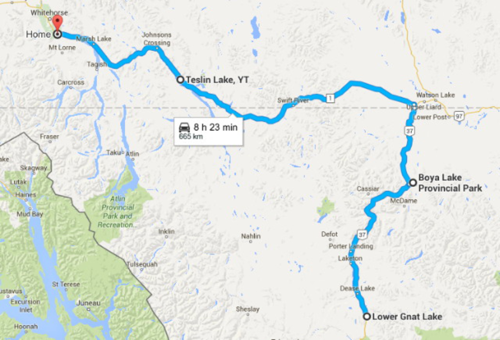
The final days: Boya Lake to Teslin Lake and Whitehorse
This is the final post about our experiences on the trip, though I’ll post a summary with some costs, and high points and low points. This post, which is post #40 from the trip, covers our final 3 days driving from Lower Gnat Lake to Boya Lake to Teslin Lake to Whitehorse – Days 54, 55, and 56.
Click here to open an interactive version of the map in a new window.
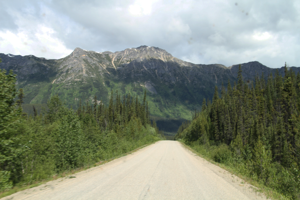
Once my railway exploring was finished at Gnat Pass on Thursday morning (June 16th), we headed north on Highway 37, the Stewart-Cassiar Highway. Our destination was the campground at Boya Lake Provincial Park, one of the highest-rated campgrounds in BC. It would be an easy day, only 177 km (110 miles). We stopped at Dease Lake for a load of fuel and a rather dismal breakfast at the commercial centre of town which includes a Petro-Can station and a large “if we don’t have it, you don’t need it” sort of store that includes a “cafe”. There had been an excellent restaurant next door, but I was disappointed to find it closed – Cathy was told that the young man who opened it had a bad back and couldn’t handle the work 🙁
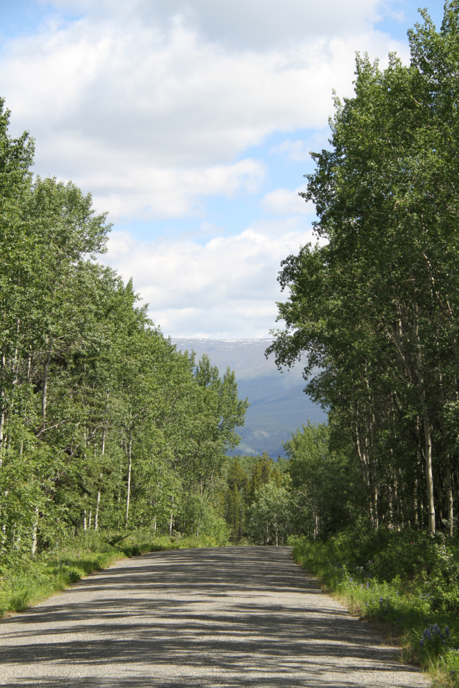
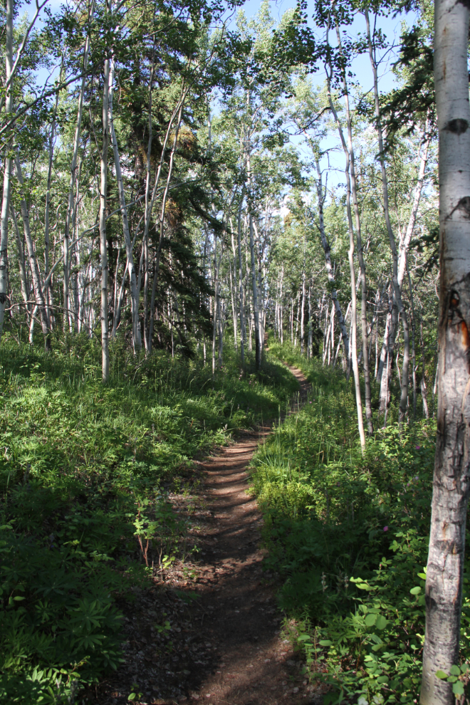
I shot this photo at 11:20 along one of my favourite sections of the Stewart-Cassiar.
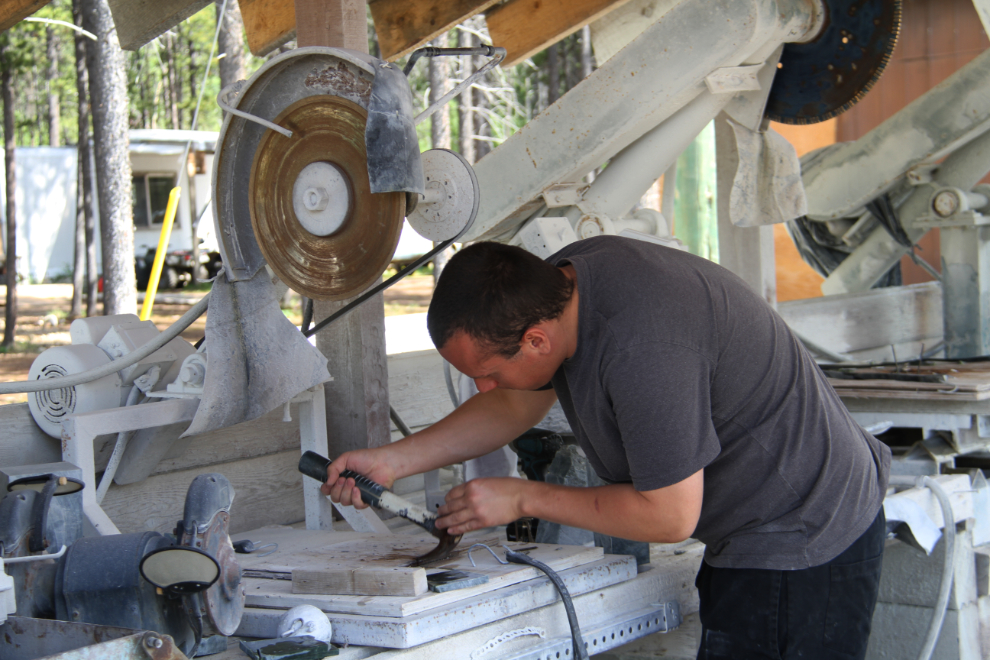
Cathy wanted to stop at Jade City (the Cassiar Mountain Jade Store), now even more famous than before due to the TV series Jade Fever that we watch.
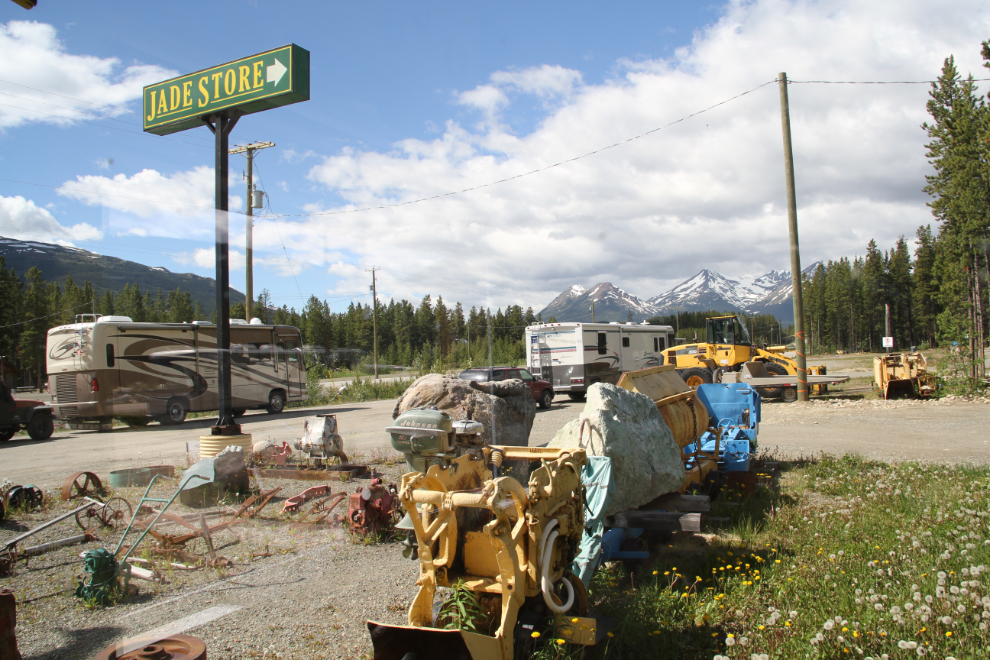
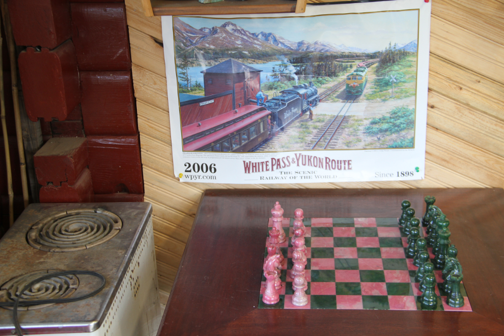
Cool chess set. I found their jewellery prices to be very high, so I can only imagine what they want for this.
This young fellow setting up a template to cut some jade outside was very chatty, and we talked about jade for a while. Dad and my older brother and I used to hunt for jade in the Coquihalla Valley decades ago, and then make it into jewellery in a big shop he had built in our back yard in Surrey.
We reached Boya Lake Provincial Park at about 12:30. It’s a couple of kilometers off the highway, down this pleasant paved road.
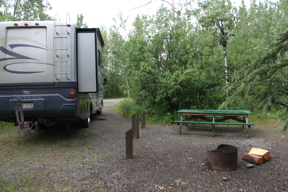
We were soon comfortably set up in a lakeside campsite, #31. Looking over all the sites later, we think that #31 is the best site in the campground, with a great beach access and a superb view.
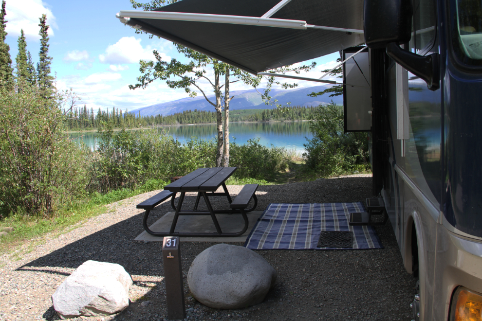
Once we were set up, I drove back to the entrance to register and pay the $20 nightly fee. You can also just wait for the operator to come around in the evening. I discovered that they also have canoe rentals, at $15 for 2 hours, $20 for 4 hours.
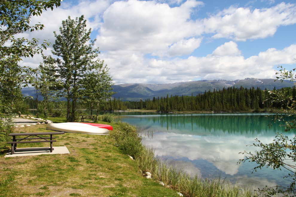
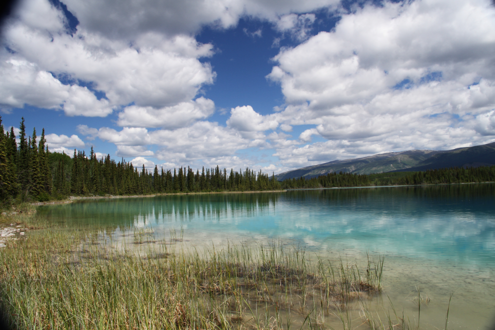
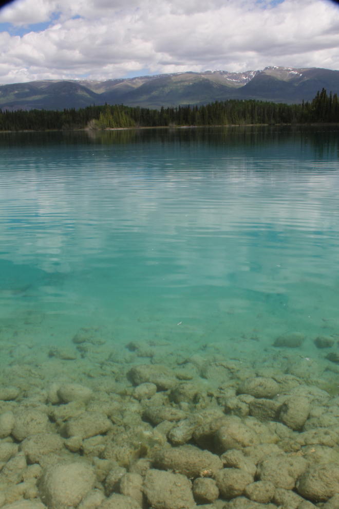
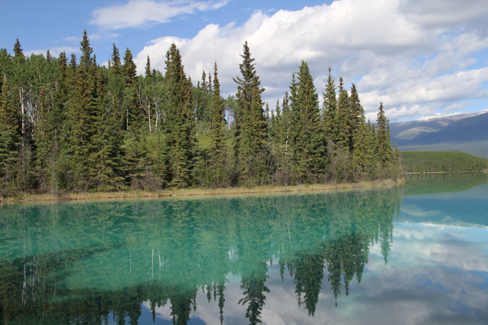
I’d been to Boya Lake before, but never on a sunny day. The colour of the lake in the sun is quite incredible. BC Parks says that: “The lake is noted for its colour and clarity. The bottom is composed of marl, a mixture of silt and shell fragments. The crystal clear waters and aqua-marine lake colour are a result of the light reflecting from the marl bottom.”
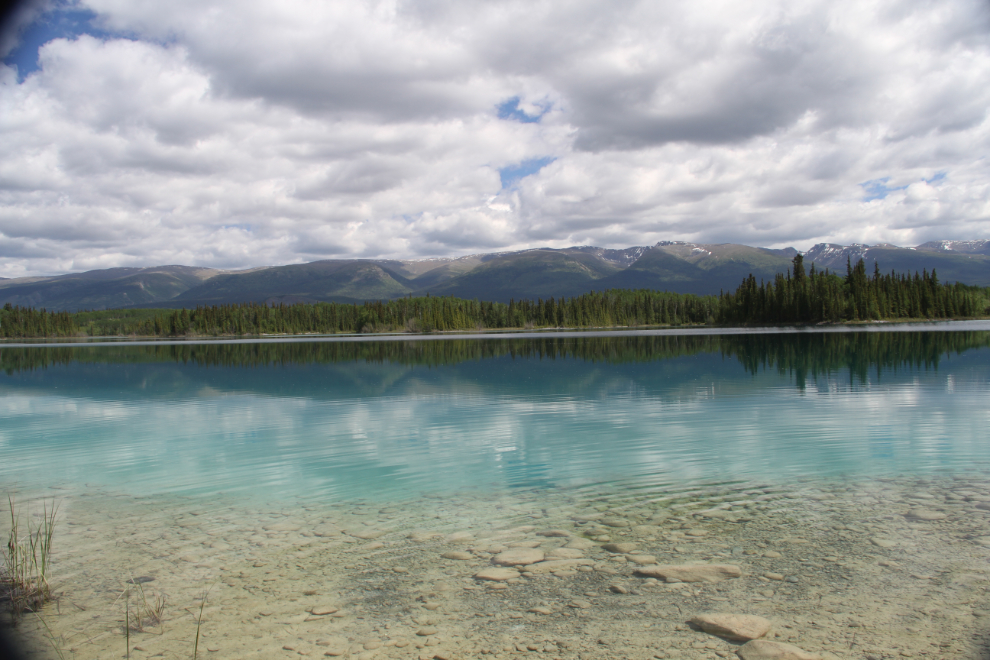
This photo and the one above were shot right from the beach 50 feet or so from our campsite.
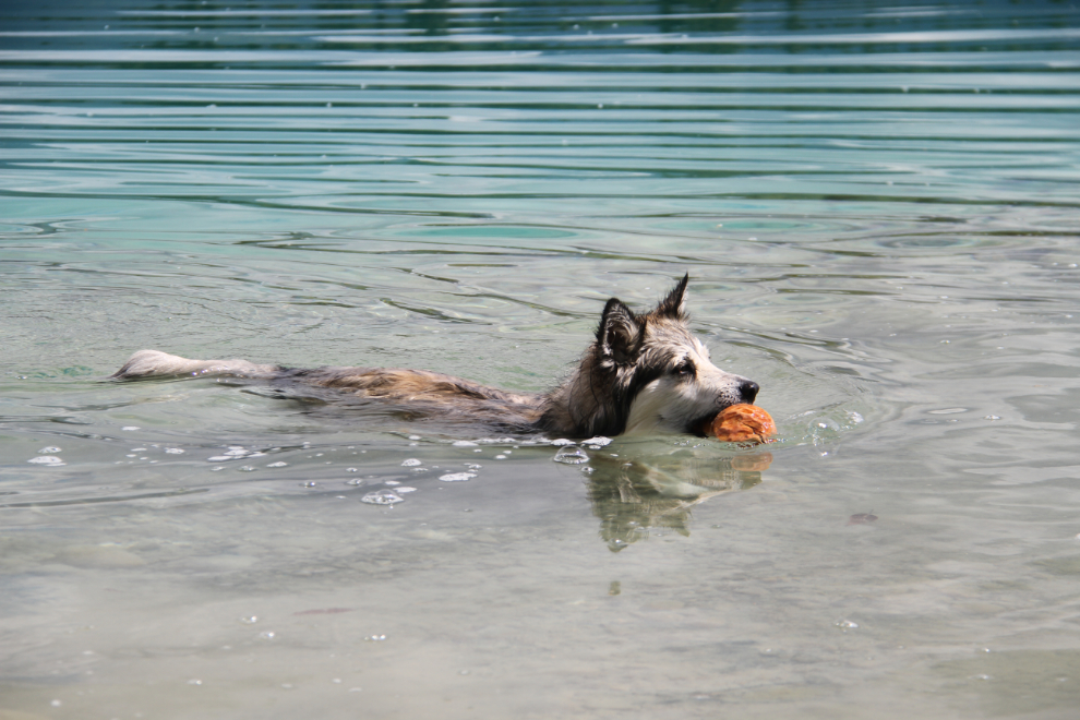
The water wasn’t quite warm enough for me to go swimming, but Bella had a ball chasing balls and this big beaver-chewed stick. Tucker went in, but not swimming – he’s still isn’t a big fan.
The rocks still have a layer of silt on them, but I rather expect that that will be gone after a few weeks of summer activity. There were hundreds of tiny fish visible, especially in the marshy area beside us. There were some bugs, but not bad – certainly nothing like Meziadin Lake had been.
A sign 100 feet from our campsite said “Boya Lake shore trail 1.5 km return”. It’s a lovely trail, but is far longer than stated – maybe 1.5 km each way.
The trail loops at the far end but there’s no real destination like a great beach, just some beautiful views and lots of flowers.
We had a wonderful evening around a campfire, but by 8:00 pm this storm was moving in…
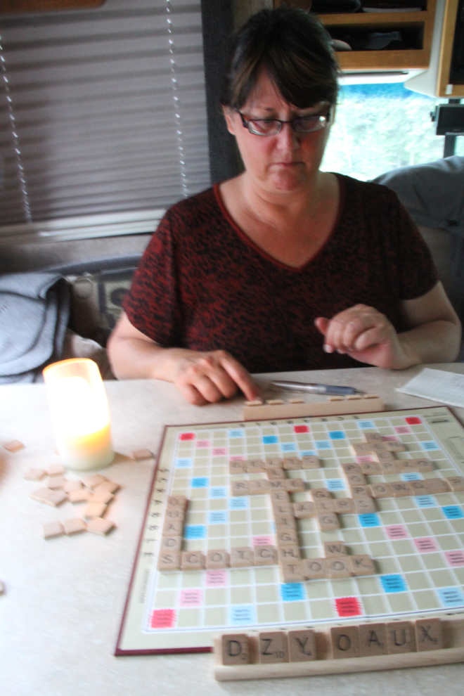
…and we were soon forced to move inside for a few games of Scrabble. Like a certain wanna-be politician, Cathy knows words, she has the best words. 🙂
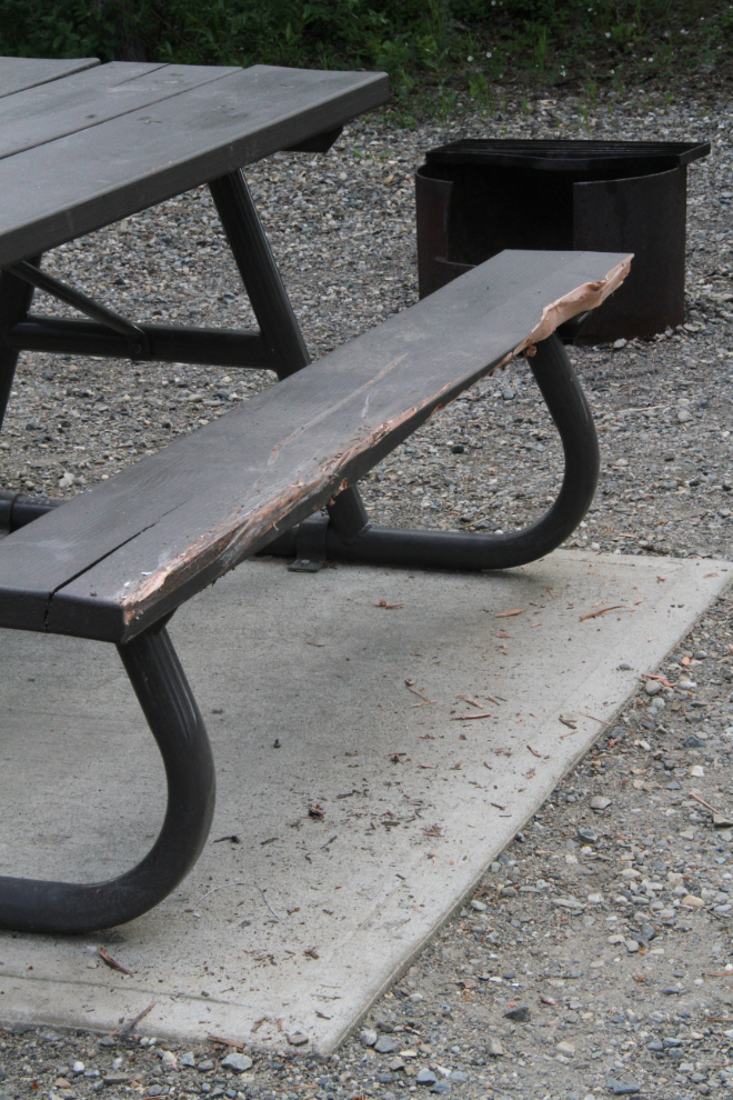
A large Class A motorhome that arrived that evening had a very bad experience. He backed into the picnic table, and tore a couple of inches of the fiberglass back fender off as well as doing a lot of damage to the table. It sure made an awful noise as it was being torn off 🙁
We thought about staying at Boya Lake if the sunshine had returned on Friday morning, but that didn’t happen. We were back on the road at around 11:00 as had become our norm. Friday’s route to the Teslin Lake Campground was a rather long one, 339 km (210 mi), and it was made even longer by a lot of strong and gusty headwinds and very rough construction on the Alaska Highway.
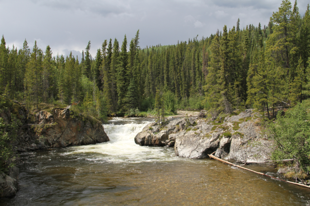
By 1:30 I’d had about enough of fighting the winds and bumps so we stopped at Rancheria Falls, a Yukon Recreation Site at Km 1112.8 of the Alaska Highway. A combination of trail and raised boardwalk takes visitors to a pair of small but very scenic waterfalls.
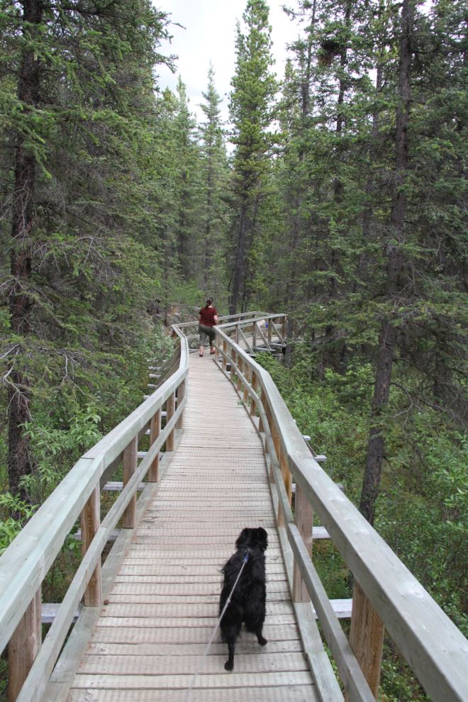
With some walking, some waterfalls, and some lunch, I was soon ready to get going again.
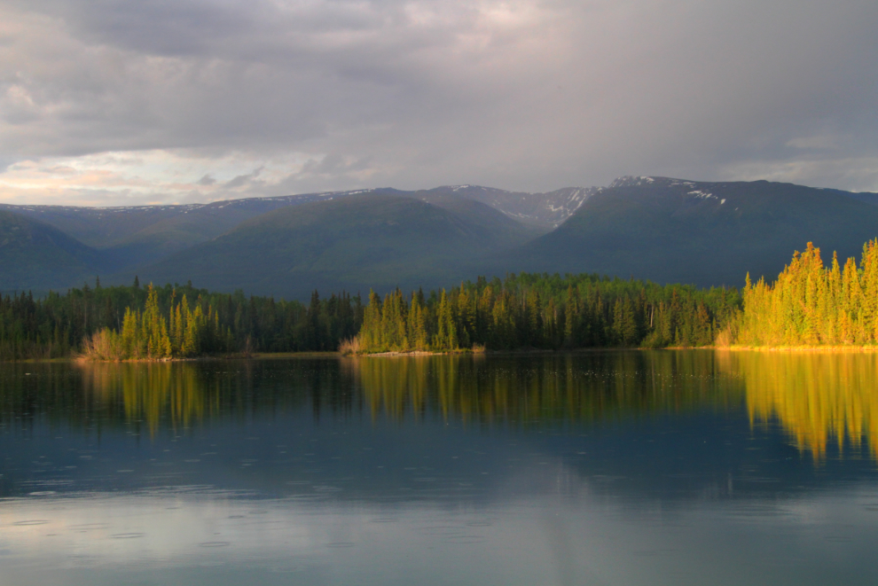
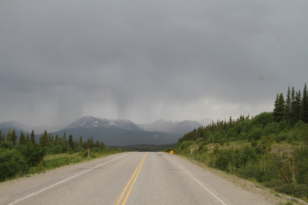
Shortly after leaving Rancheria Falls, we encountered the first of a series of strong thunderstorms that continued right to Teslin Lake. Some of the lightning was massive, pretty much filling my field of view, and at one point the winds were so strong I nearly pulled over.
A few minutes after reaching the Teslin Lake Campground and getting set up, this storm hit. It’s too bad that the lightning and thunder didn’t get captured, because they were impressive.
By 6:00 the storm had passed and we could get out to enjoy the campground. Back in the Yukon, where nice campgrounds (and firewood) are free for Yukon seniors, and only $12 total for anyone else (and $50 for an annual pass).
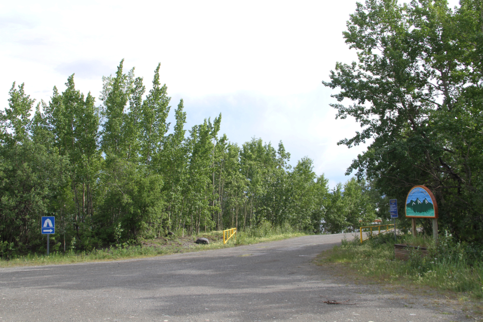
The entrance to the campground is a bit difficult to find. There’s a sign on the highway saying that it’s 2 km ahead, then soon after, another sign saying that there’s a rest area 2 km ahead. About 2 km ahead, there’s a rest area sign at the driveway, but nothing about the campground, whose entrance is in a corner of the rest area.
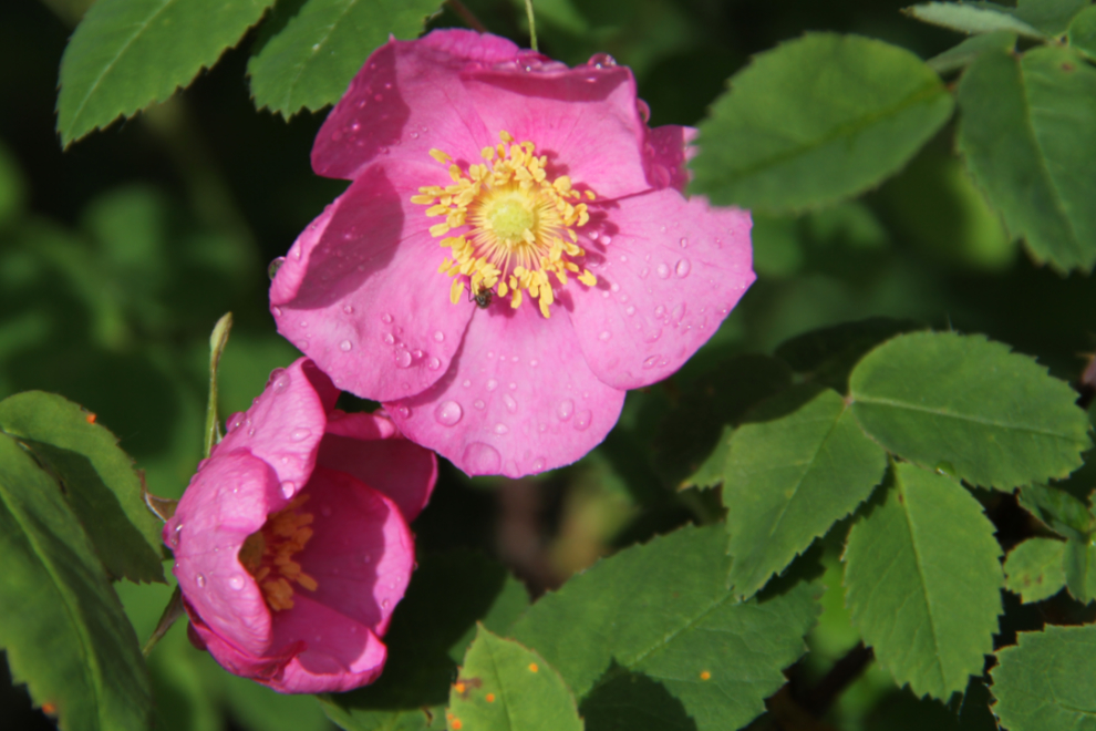
The flowers around the campground (like this wild rose) were about at their peak.
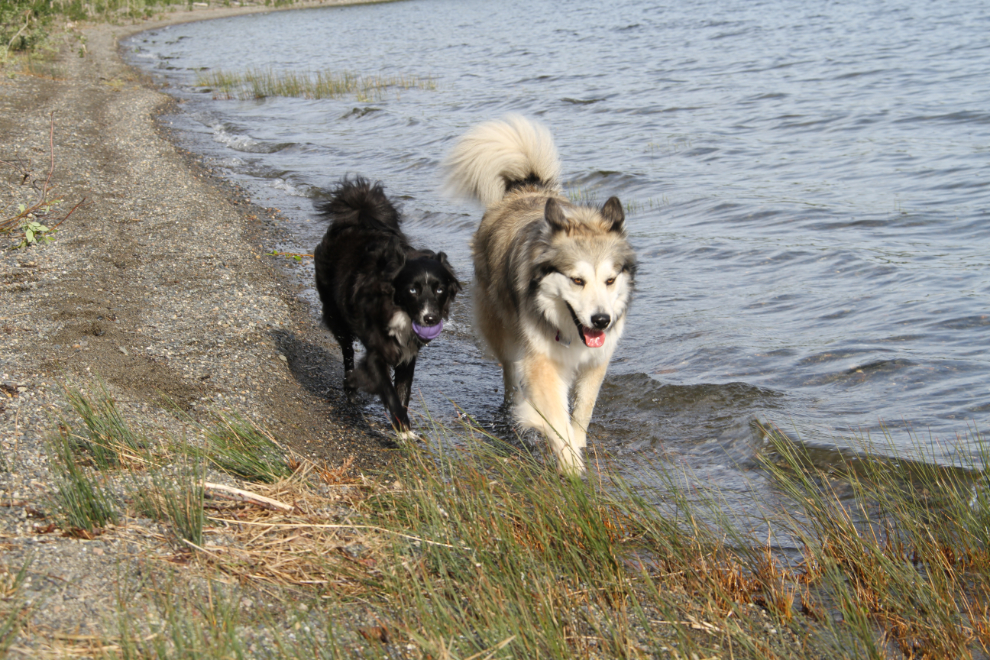
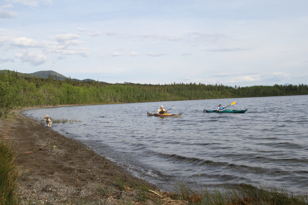
The beach at the campground was the best beach we had in the 2 months we were on the road. The kids loved it.
A couple of kayakers paddled by at 7:30 – what a great way to spend the evening.
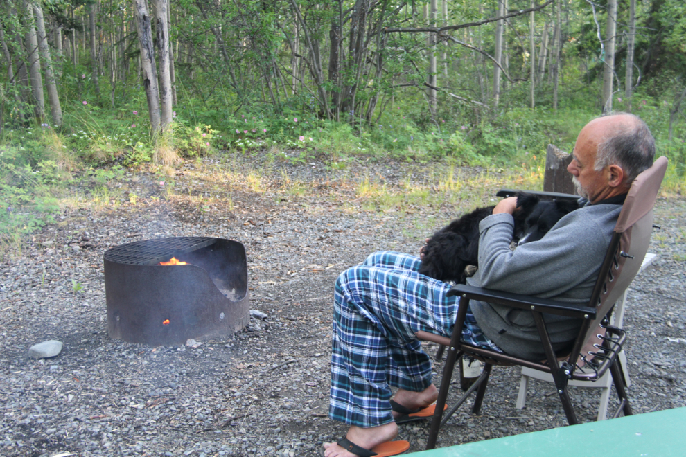
Jammy-comfort in front of our last campfire of the trip, with a very tired and snuggly puppy.
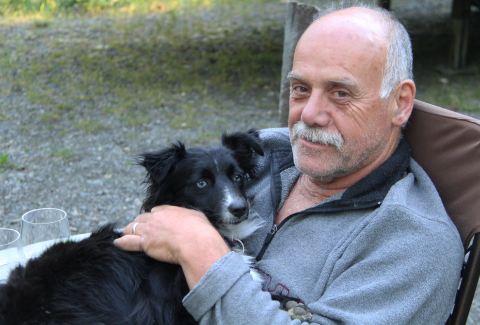
The scruffy boys 🙂
We didn’t leave Teslin until almost noon, and by the time I fueled up the RV and dumped my tanks, it was 2:30 by the time I got home and had a look at some of the jobs ahead!
I’ll be posting a summary of the trip – some data, costs and thoughts about the trip and our equipment – shortly.